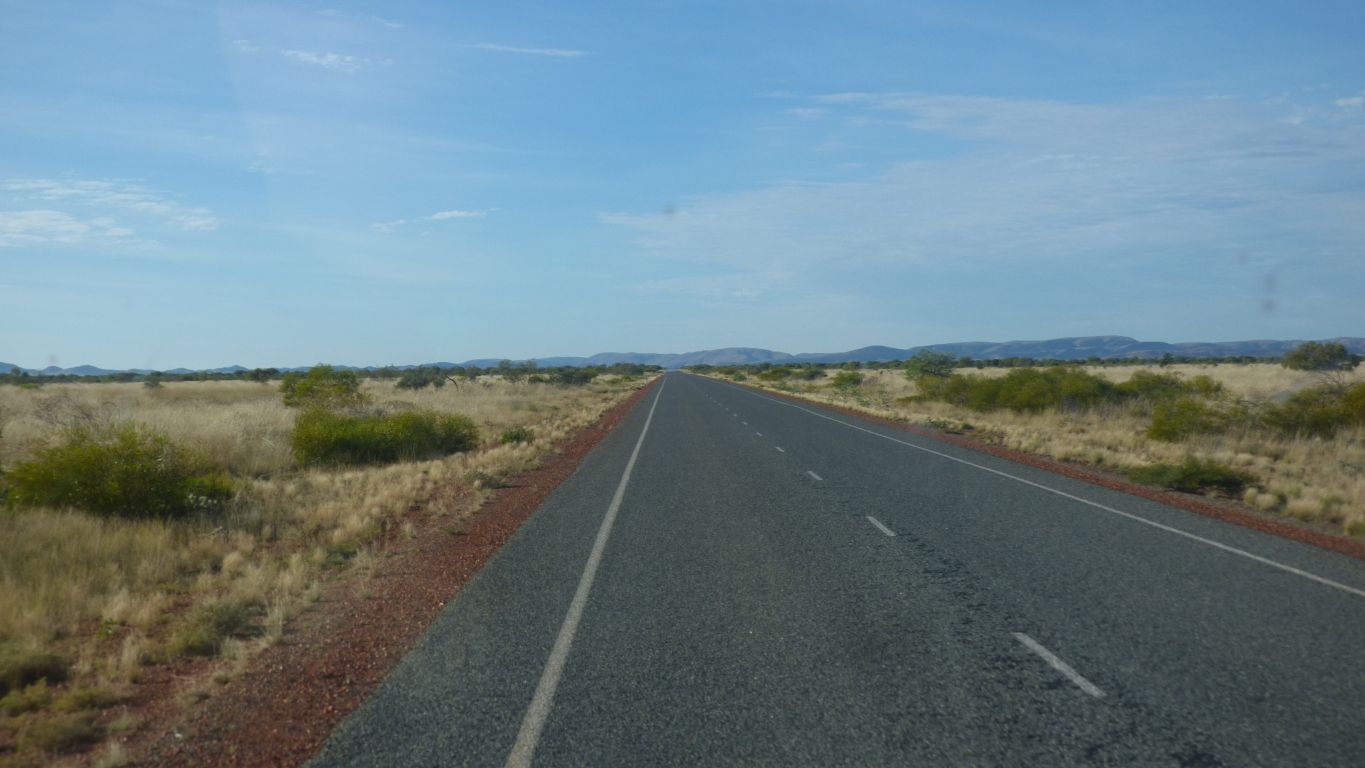
Surprised that we are still on the coastal plain.
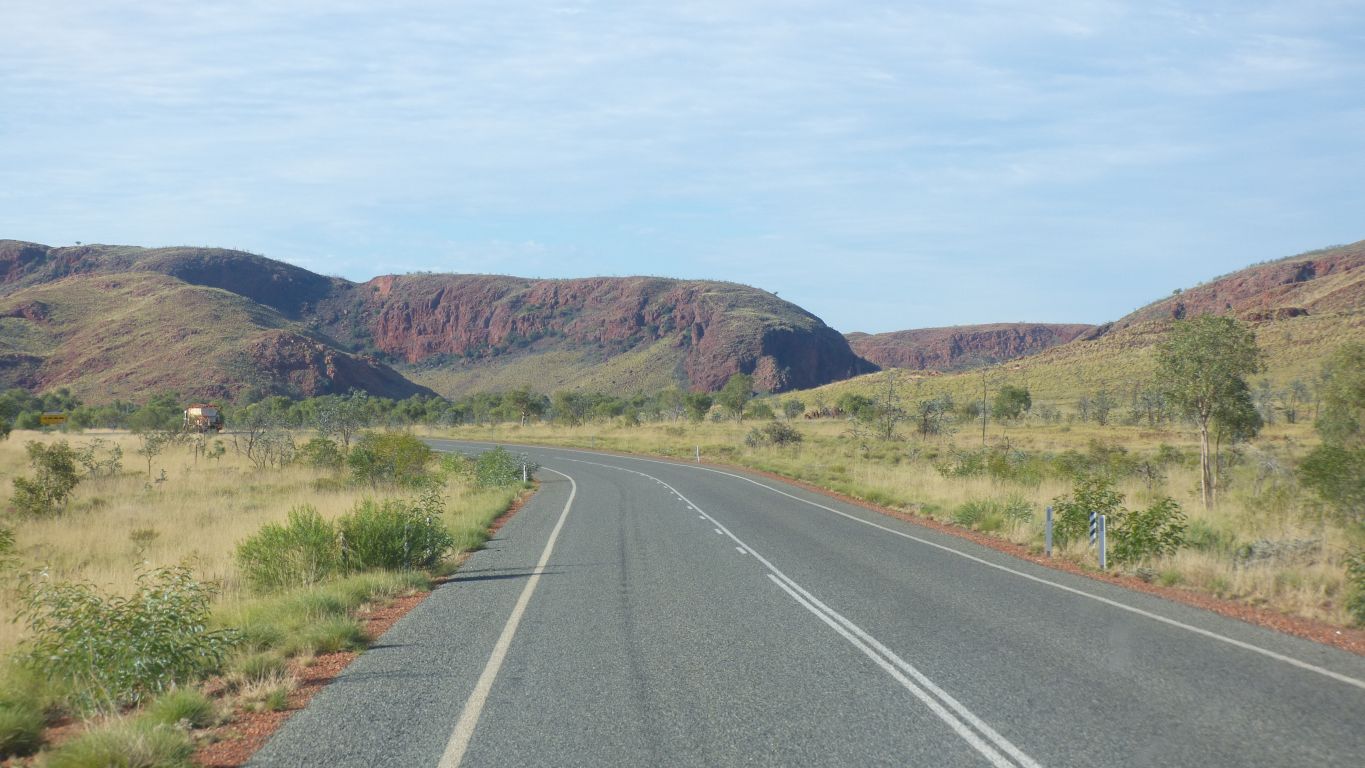
The road passes through Coongan Gap. A few corners and a few hills but nothing serious. We didn't meet a road train.
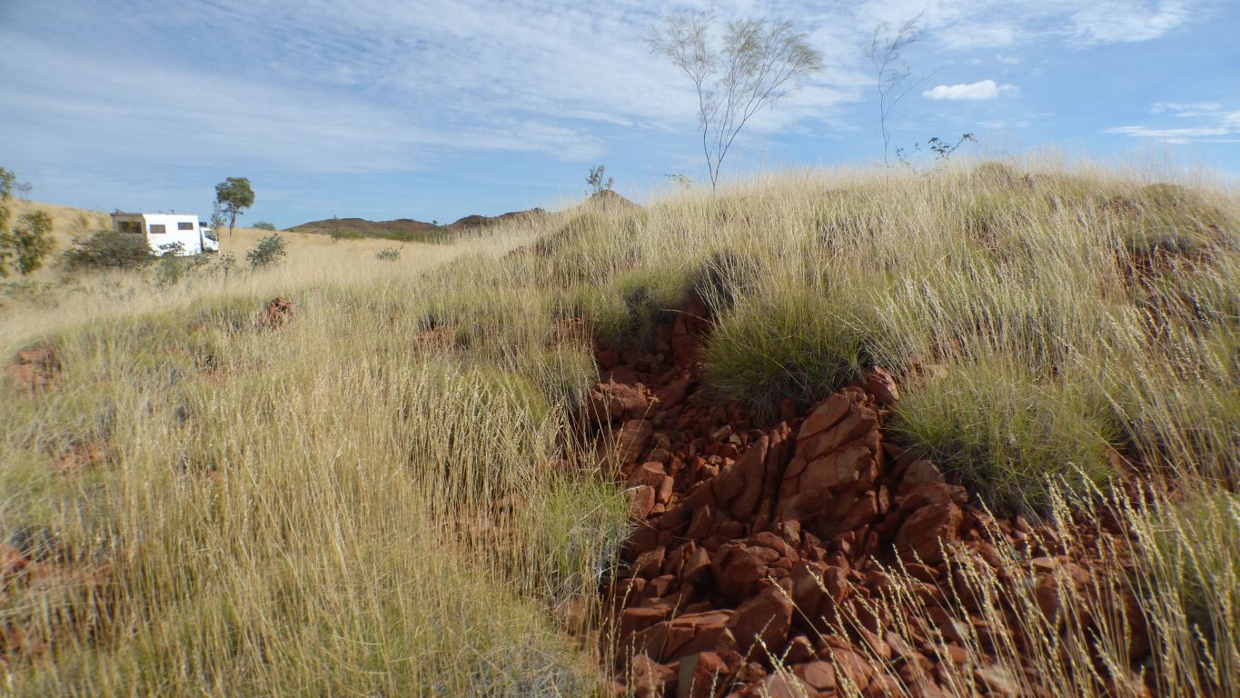
On the right is a track into Doolena Gap. We investigated briefly and will return for our next camp.
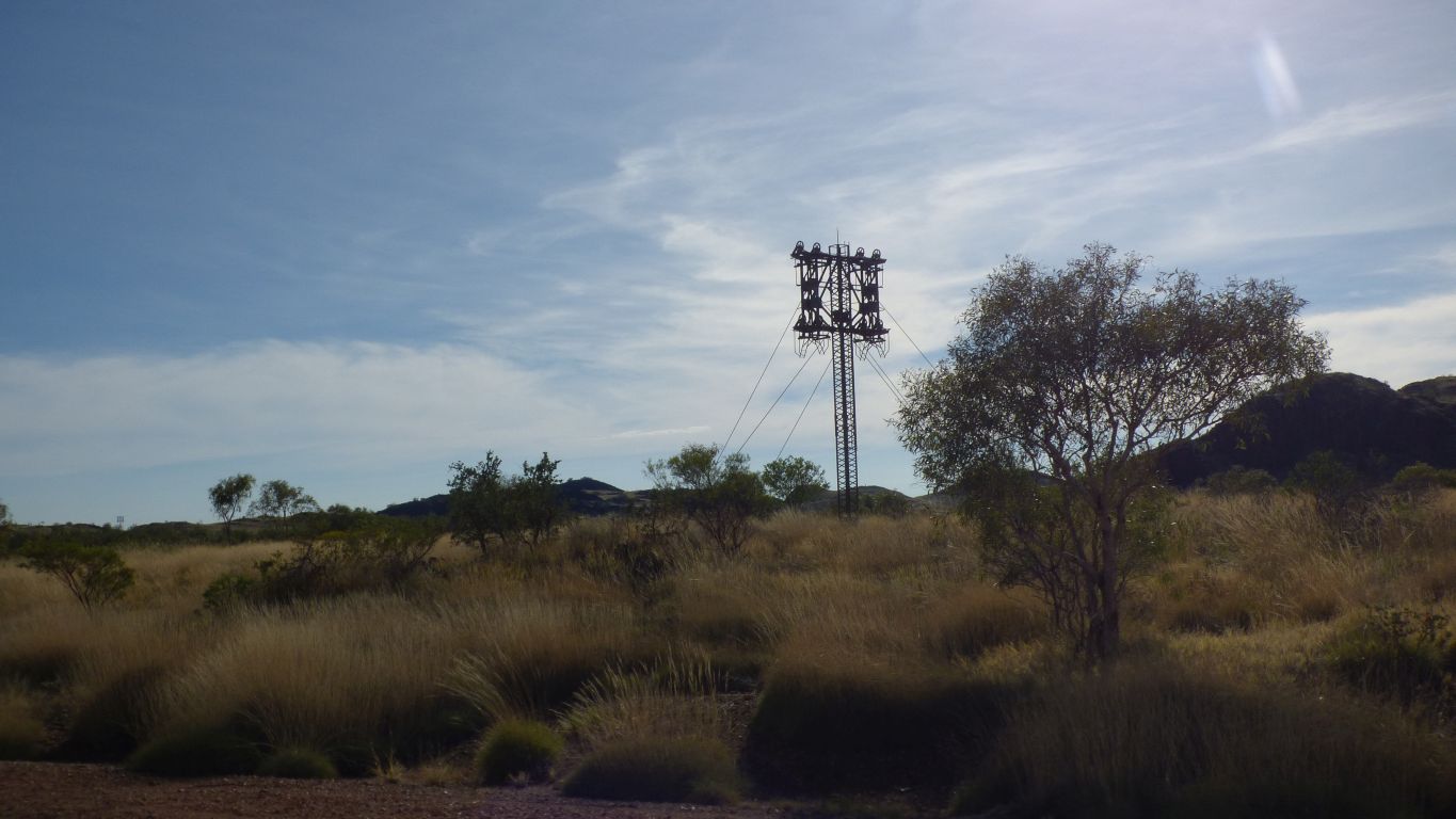
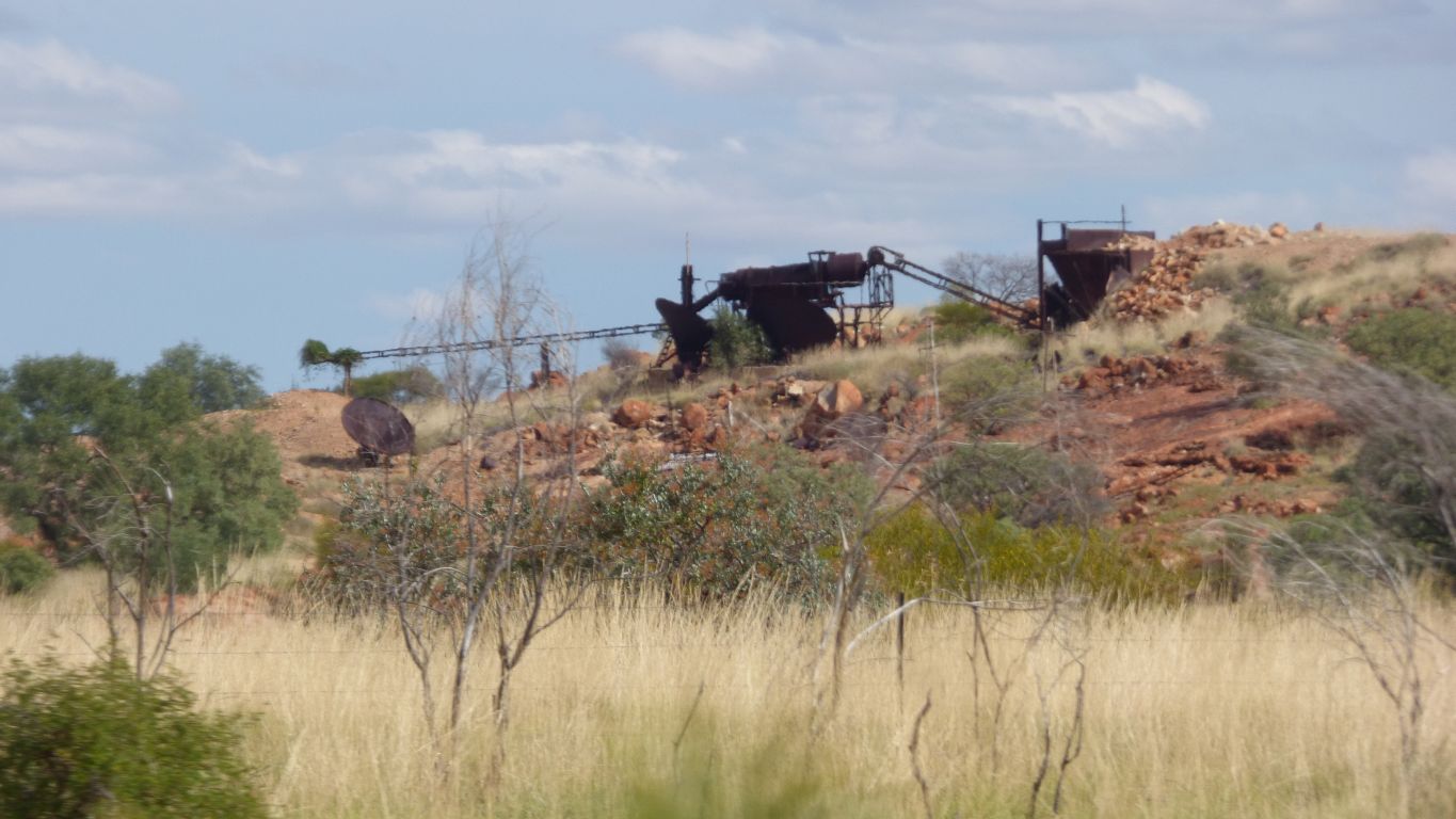
Remnant of a cable car. Presumably for hauling ore from somewhere to somewhere else.
Marble Bar is gold mining country.
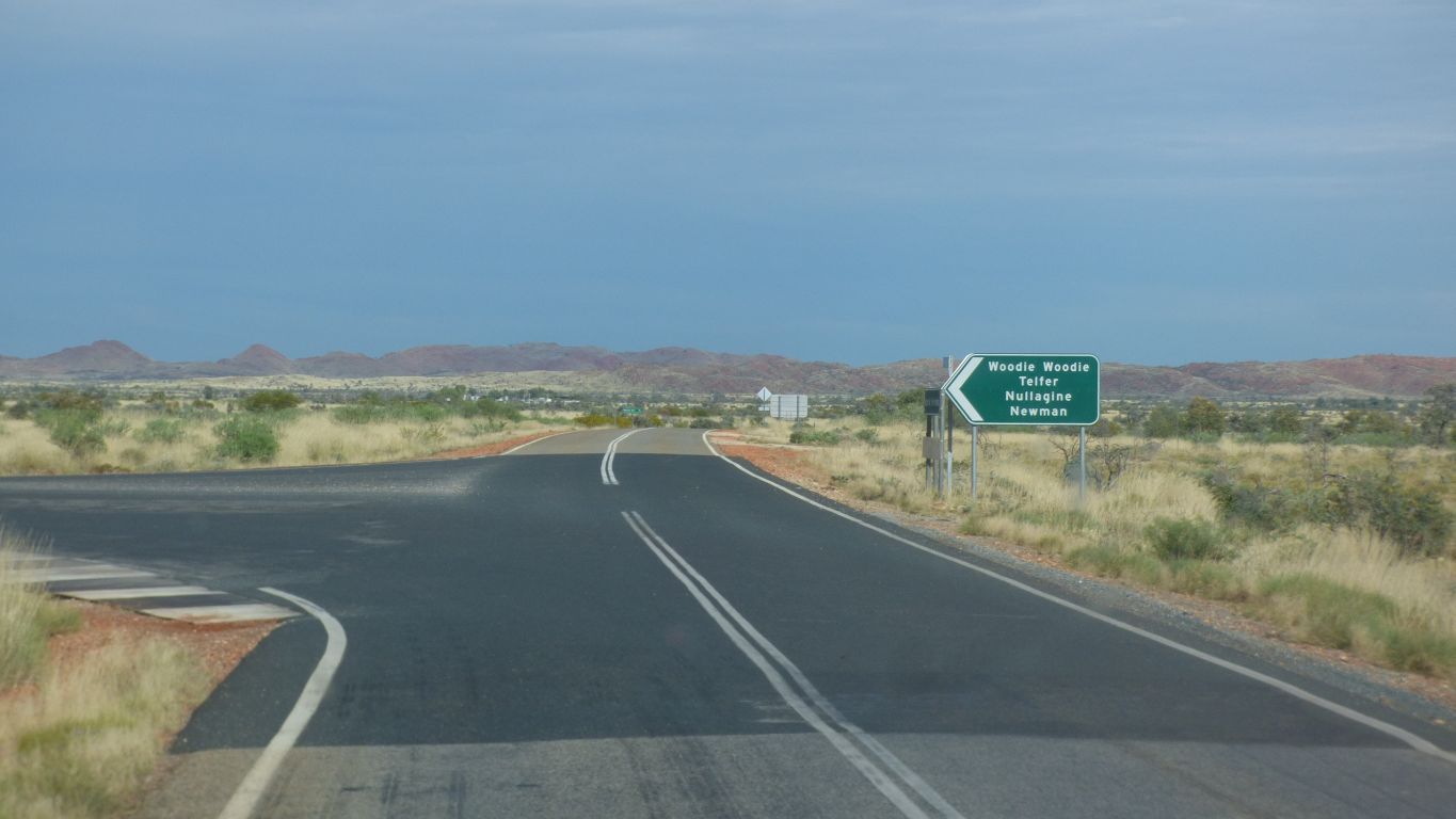
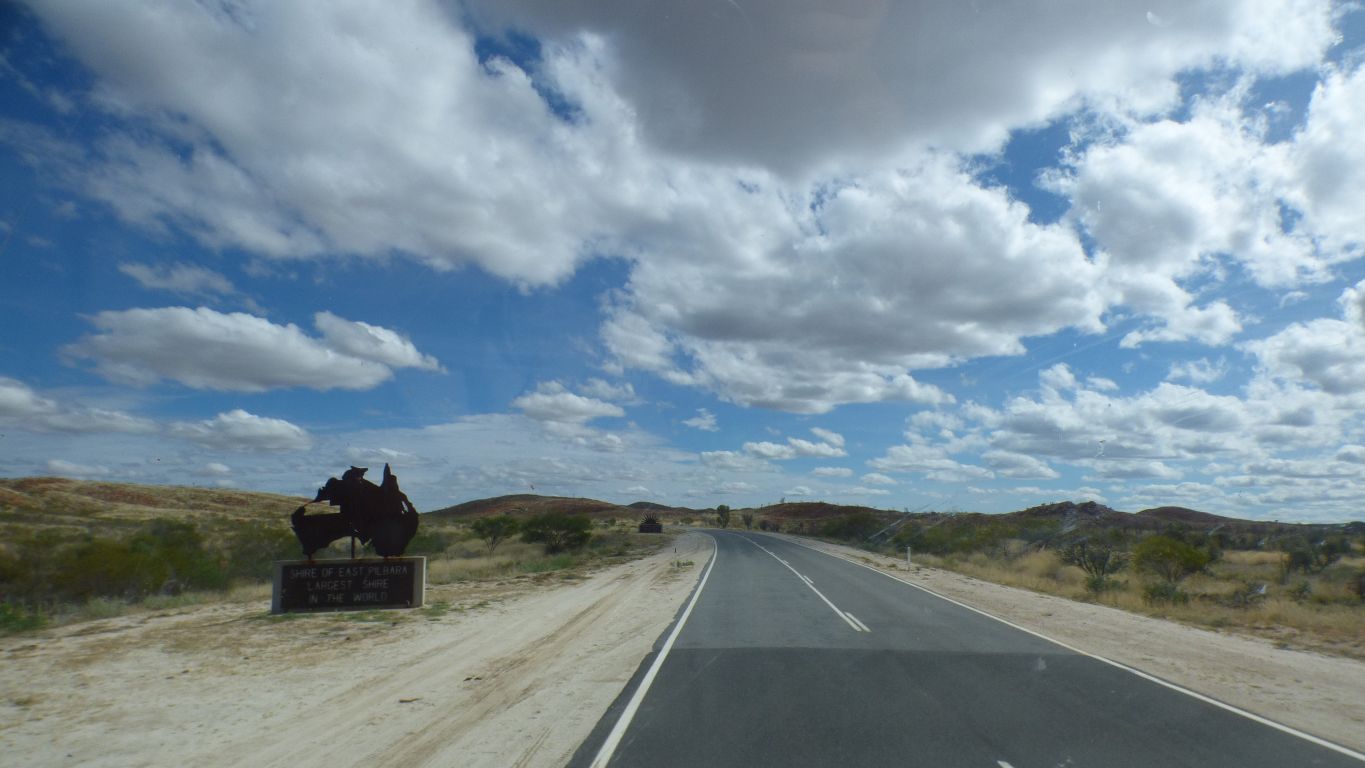
We have visited all the places listed on the sign.
We turn left, our destination is part way along the road to Nullagine.
Straight on is Marble Bar. Saved for our return.
We turn off south towards Nullagine and Newman.
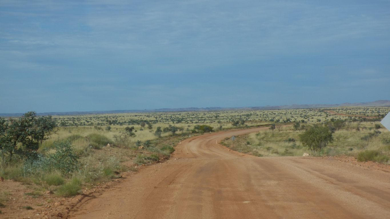
We drove past it twice, even though we had precise gps coordinates.
There's even some blue tape on the left hand bush.
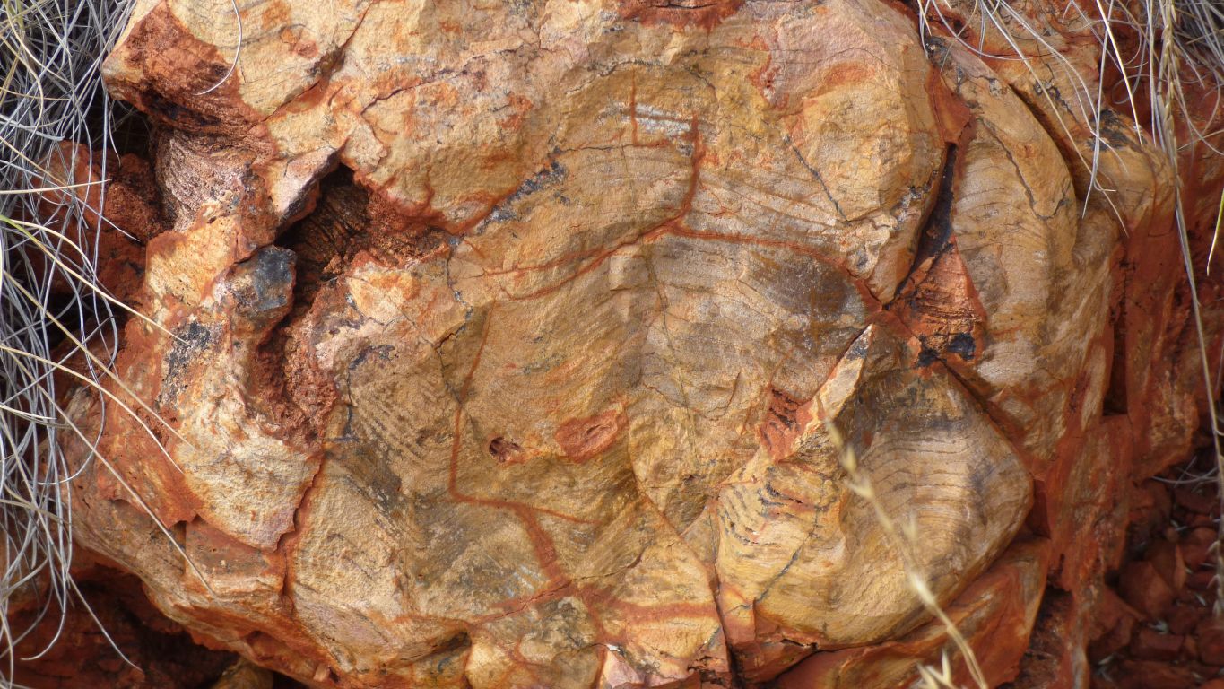
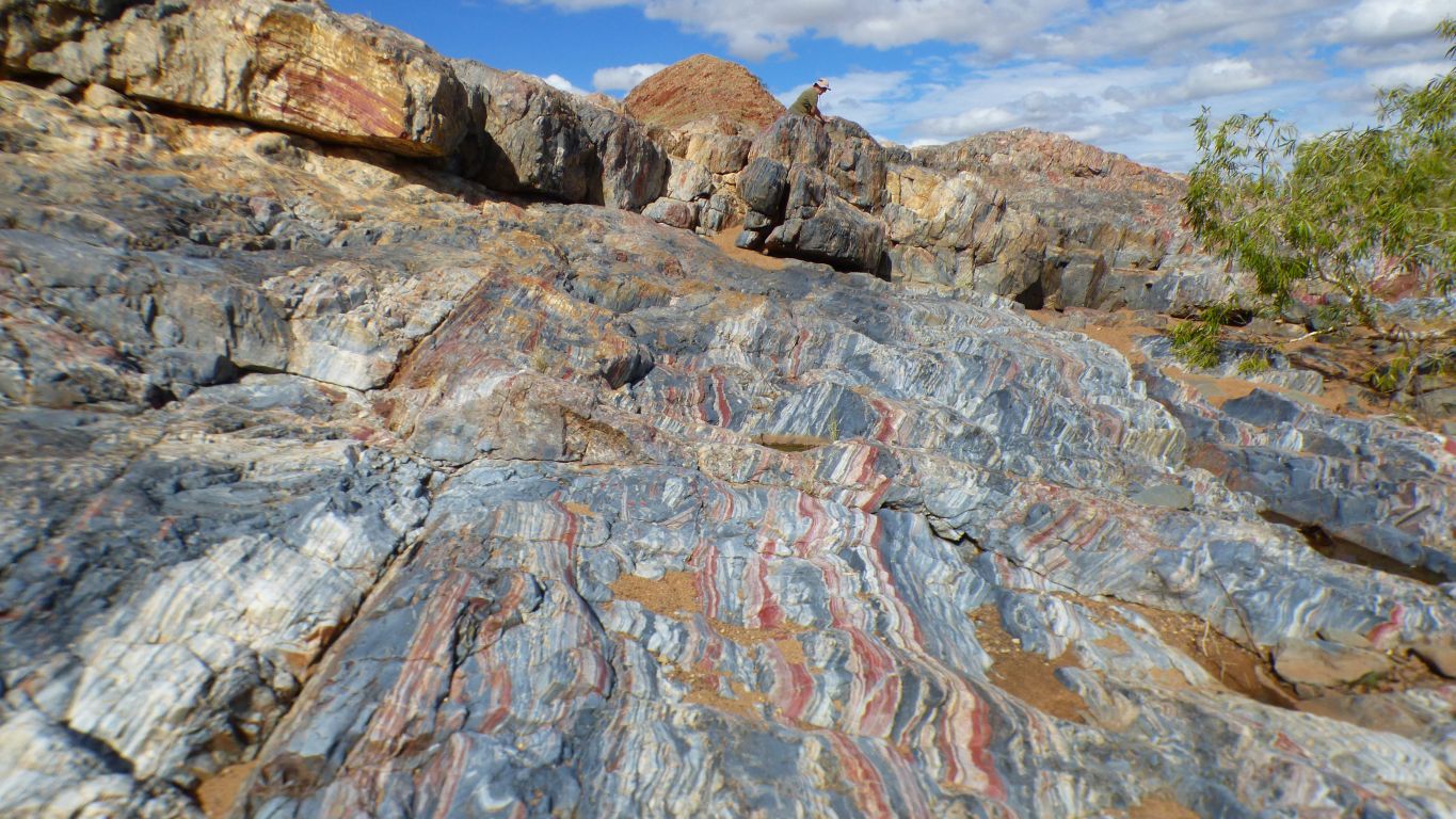
Including stromatolites (of course).
An example of the Strelley Pool Formation which pervades the area around Marble Bar.
Unfortunately the proposal was not adopted. But the well documented proposal is still available.
There are seven illustrative sites identified within the area. The initial proposal, and some follow up work, included gps coordinates.
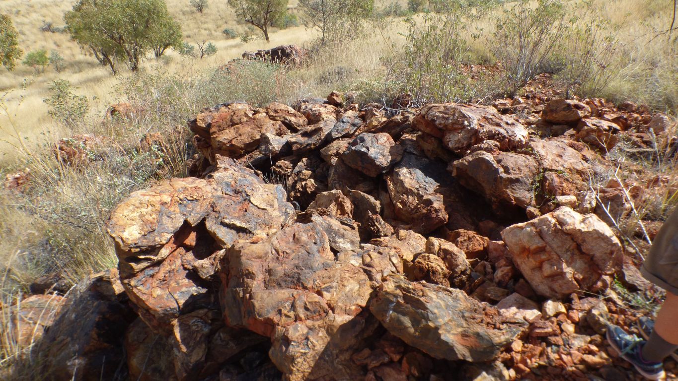
There is pillow lava across a large proportion of the area. The first site showed us examples.
Sadly I assumed pillow lava would be self evident so neglected the research and doubt that we actually found any.
In retrospect it is what it sounds like - pillows, up to 1m across, formed by lava under water. And when I re-read the follow up work it mentions this site wasn't looked at (confirmed).
But still no pillows.
What are we doing wrong?
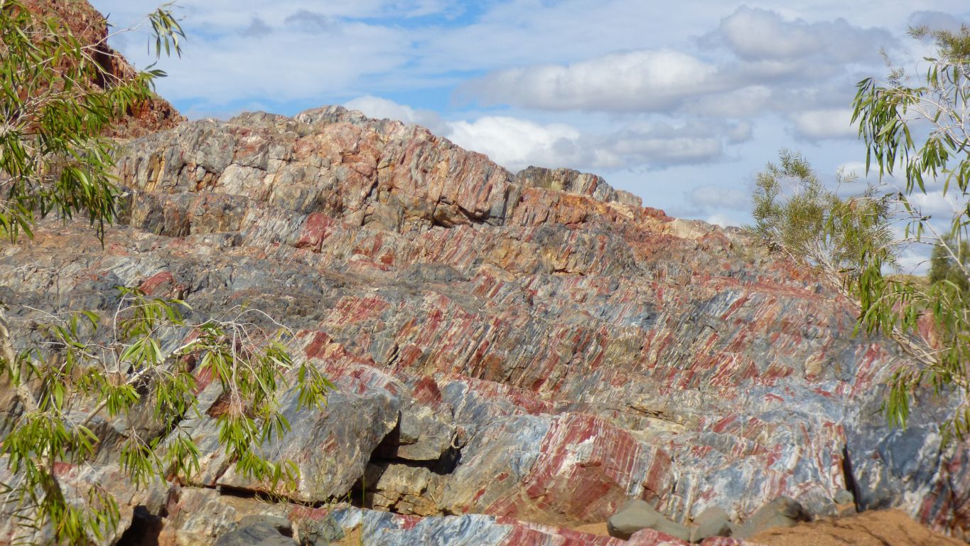
There is both silcrete and calcrete in the area.
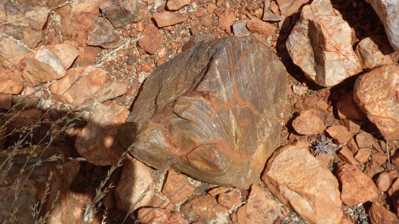
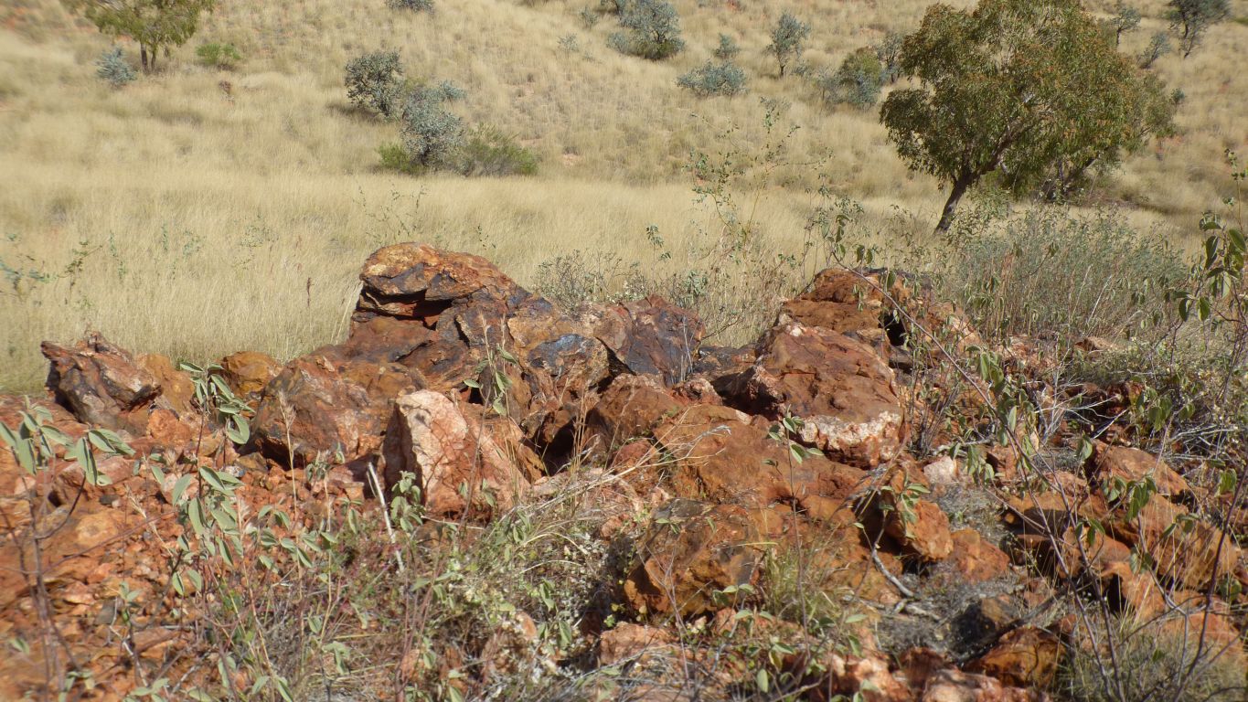
This pic is from site 4. Stromatolites at last. In limestone and silicified.
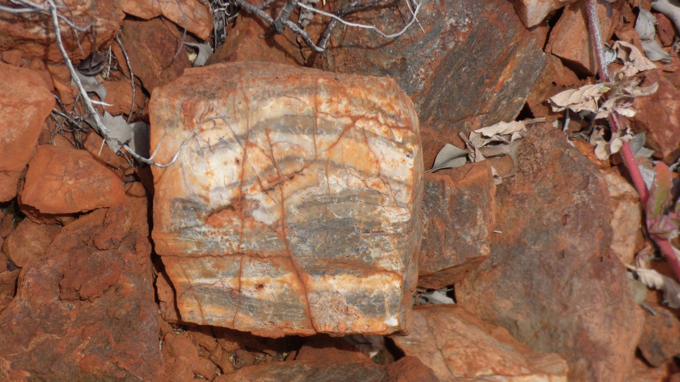
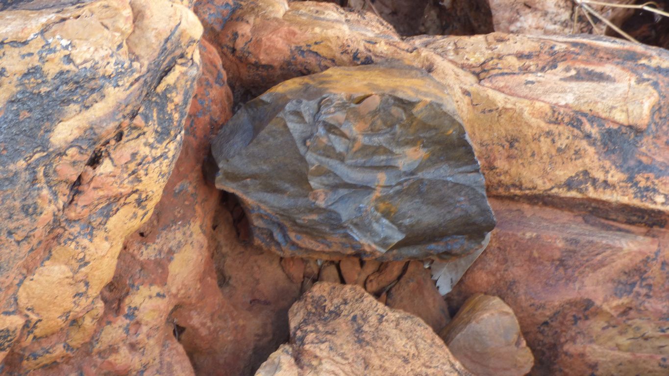
We did see what we think is "bucky quartz". There's a vein of it in the area.
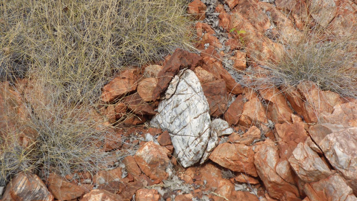
For some moments I did think this may be a whole silicified stromatolite, but then I figured that would be mentioned in the site description.
It seems "bucky" is another term for "laminated". In the pic, those (parallel?) lines across the white quartz.
This quartz was also not transluscent like fragments of nearby quartz with a different origin.
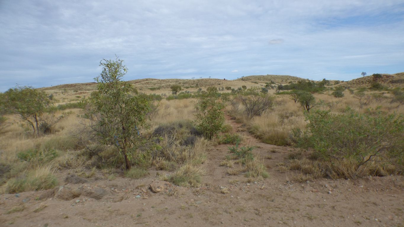
There's something frustrating about circumnavigating a gps waypoint at a distance of 5m while being unable to identify the structure which is there somewhere.
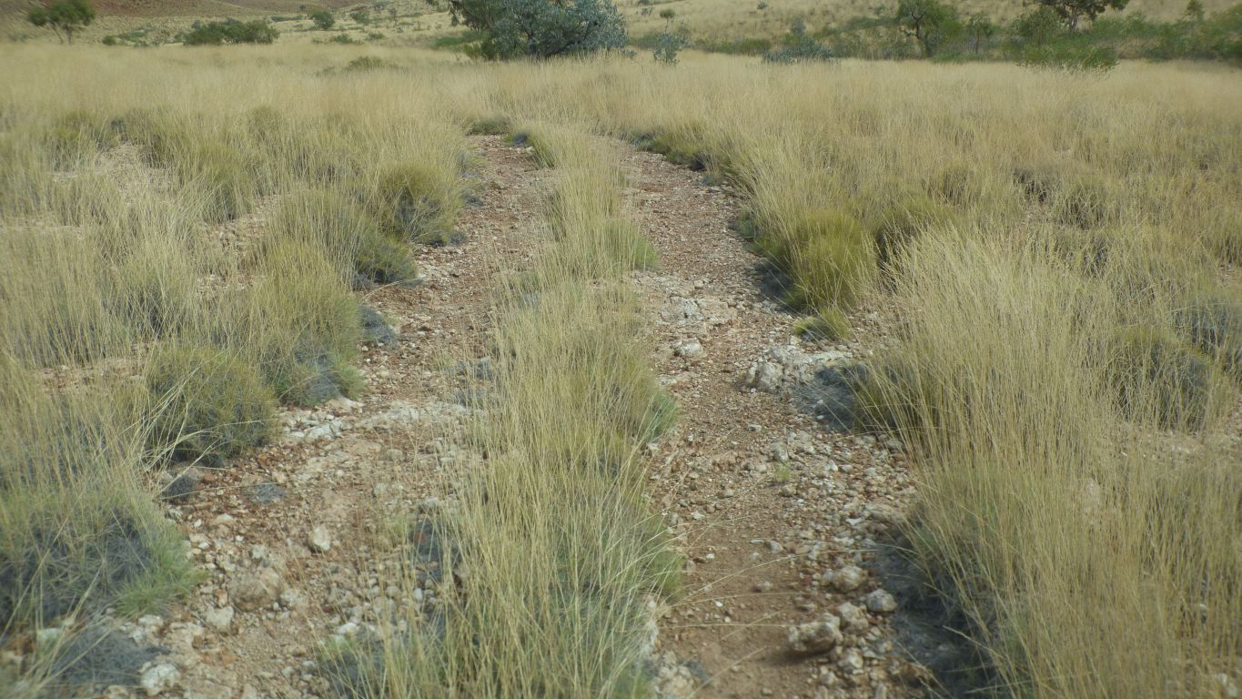
So we took to looking around before setting off for the next site.
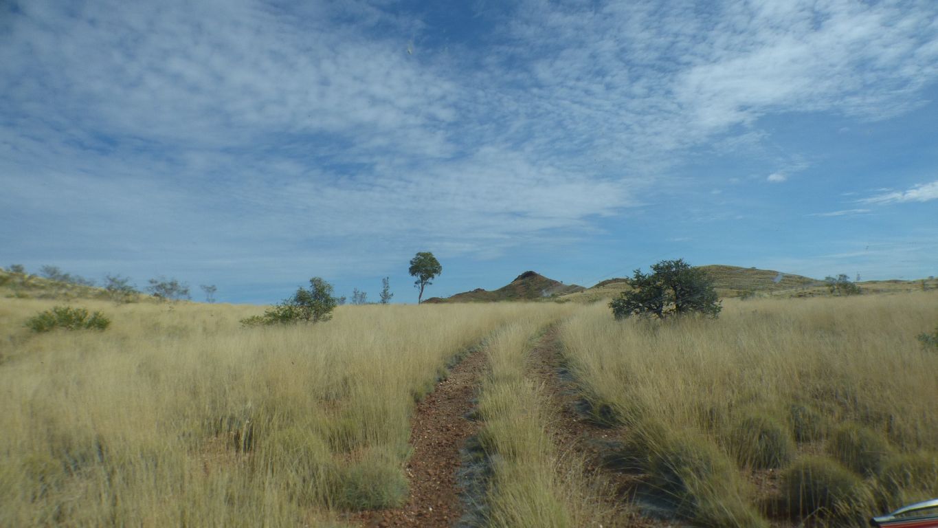
We head towards what we think is site 5.
There's just a hint of a feeling that we are no more successful at "geology by numbers" than we are at "free range geology".
Our general ignorance manifests itself regardless.
Stromatolites.
Silicified. Low domes.
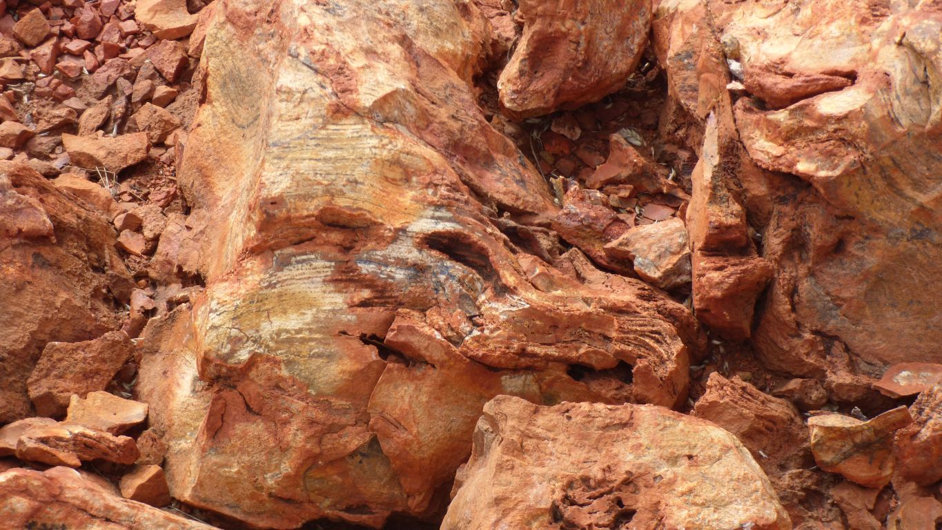
No excuse.
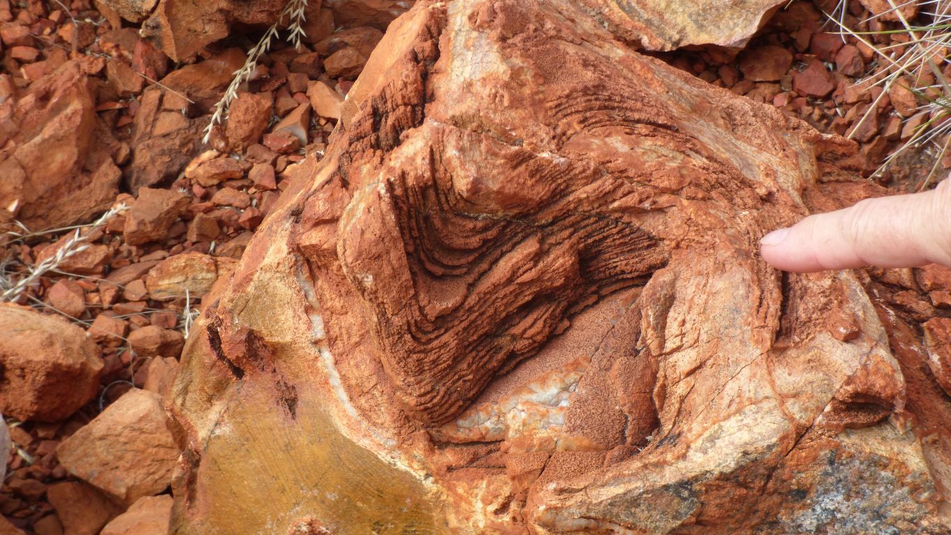
Linked together.
The lines continue through the broken surface.
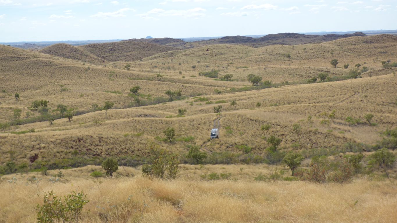
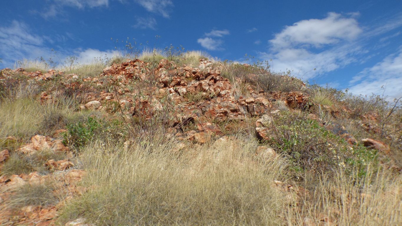
Such was the lack of navigation skills that we found the top after site 6.
Truck is at the proposed turning / parking area.
Shortly before reaching the top we realised that the temperature was higher than we have met recently, the sun was high in the sky and hot, we had left the water bottles in the truck (its less than 1km circuit!), and the ground was so broken the walking was very slow and a bit arduous with no path.
Underestimated it we had. So we sat down for a rest. Or two.
We are only 300m from the truck. So near yet so far ....
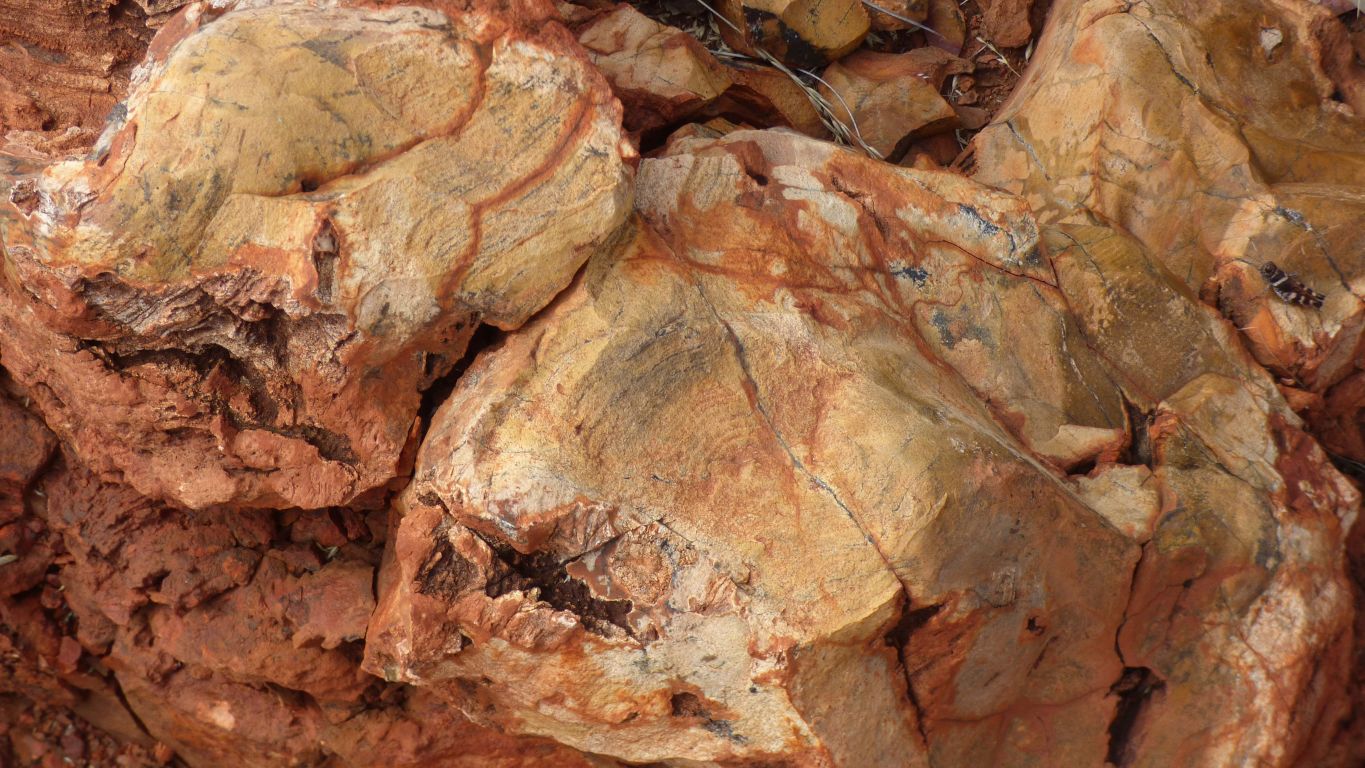
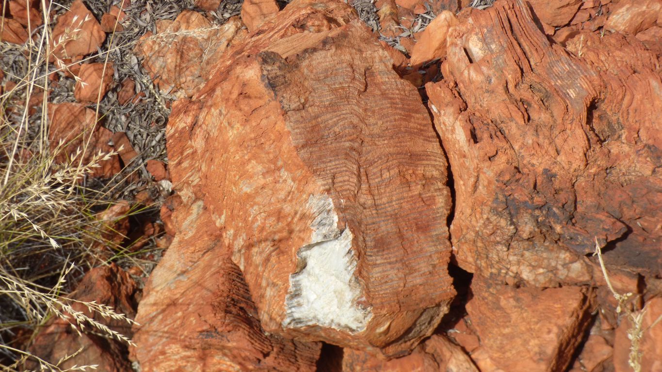
Stromatolites in chert.
Which is really just another form of silica.
Chert forms in limestone. Flint is a form of chert but apparently forms in chalk.
I think.
Apparently its ok to be confused.
Its certainly different.
And see lots of chert.
We think.
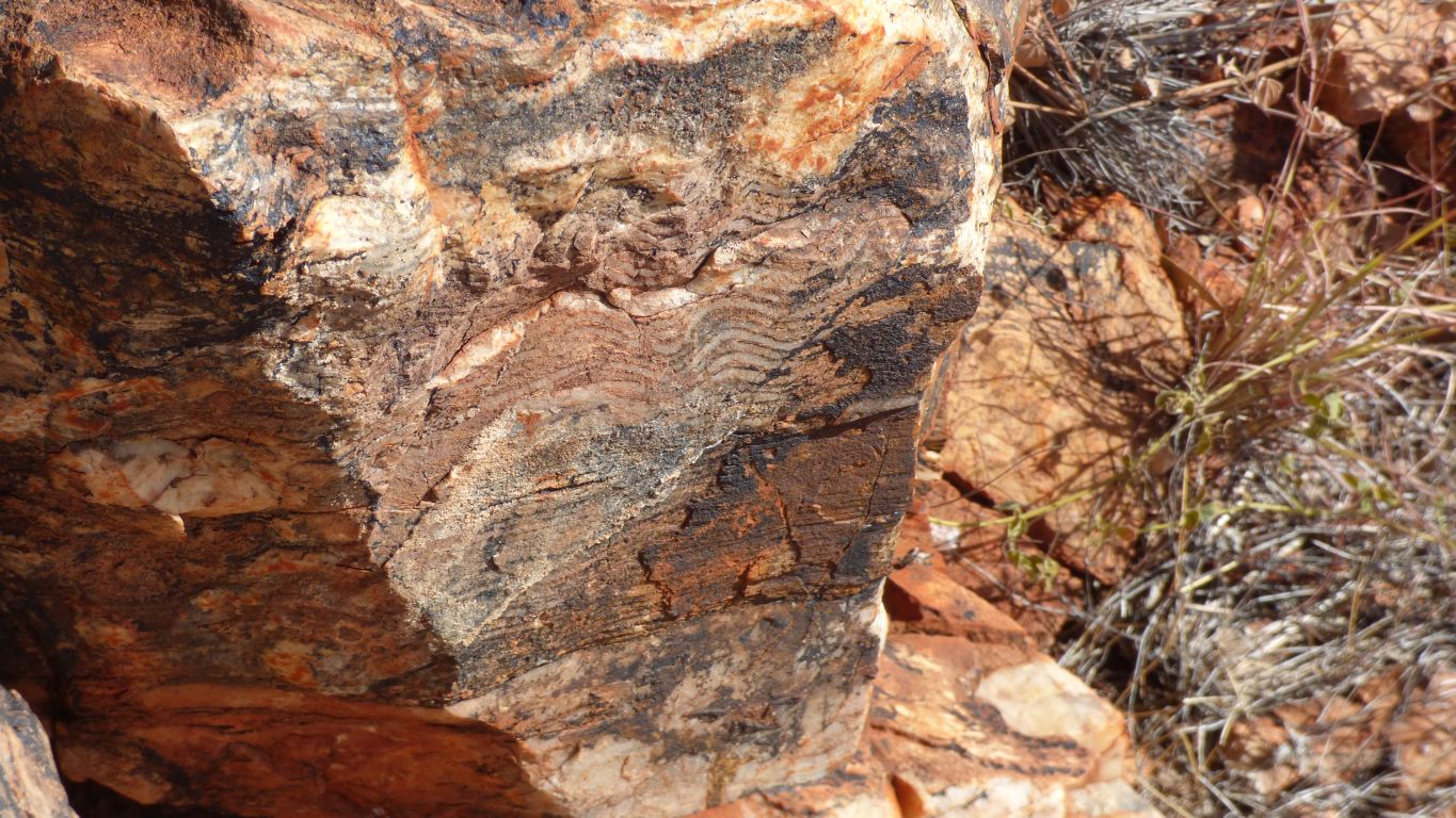
Definitely looks different to earlier sites.
We feel we are getting the hang of the coordinates (are they of the point of interest, or where to stand to see it, or ......).
The circles we walk in are becoming smaller. Practice makes perfect.
The sound of "Windmills of Your Mind" enters my consciousness. A tune that once seemed appropriate for this (epicycles) website .... there's a long story there ...
At least while sitting resting.
There are no park benches .... just uncomfortable rocks.
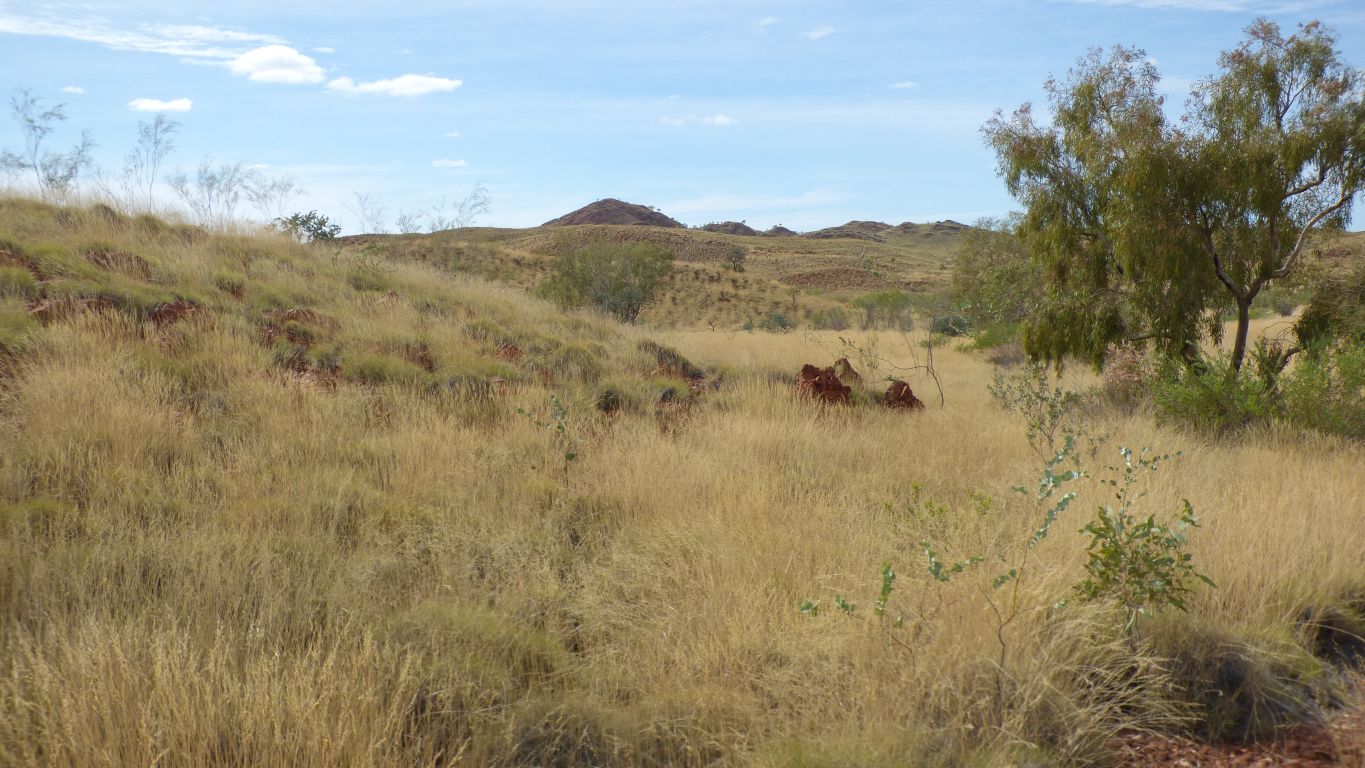
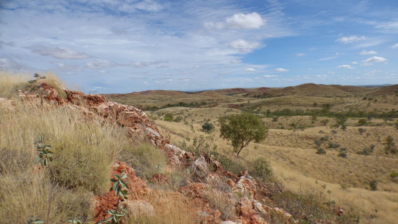
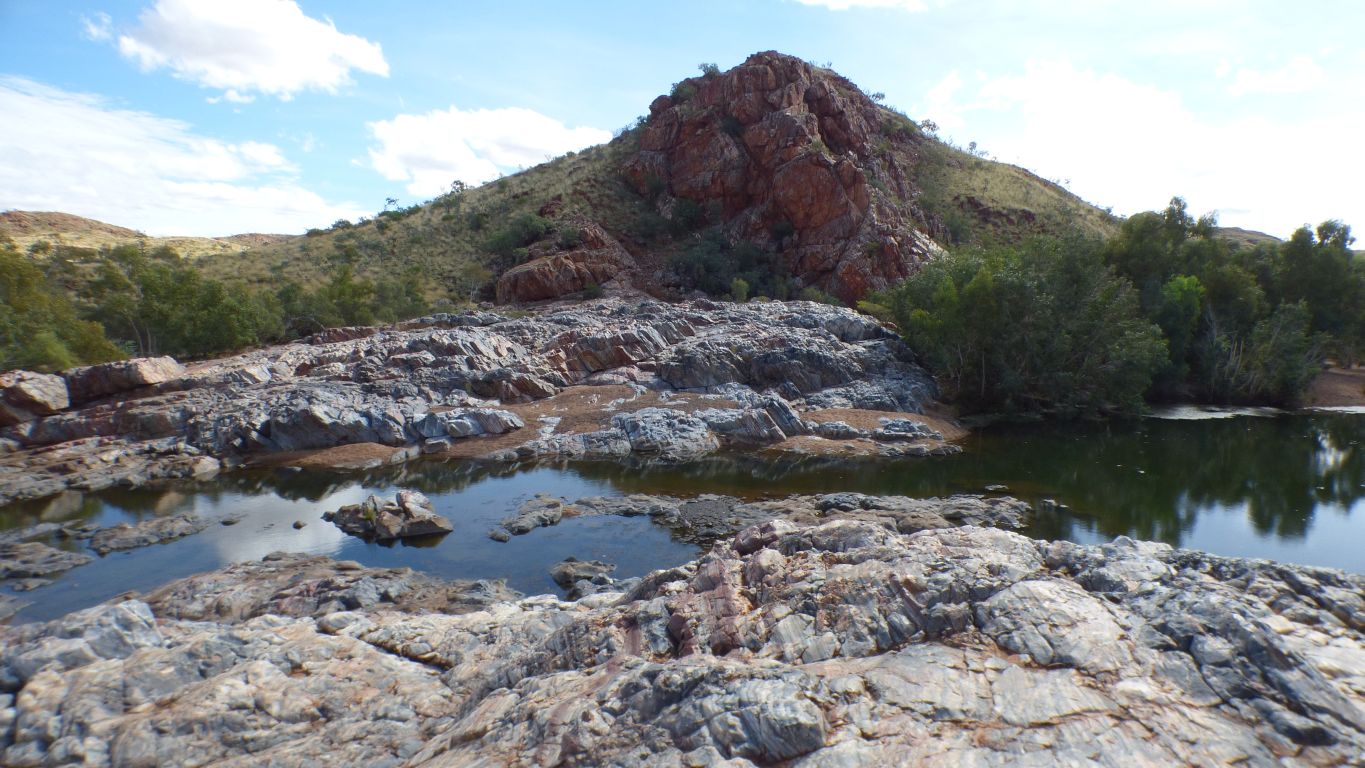
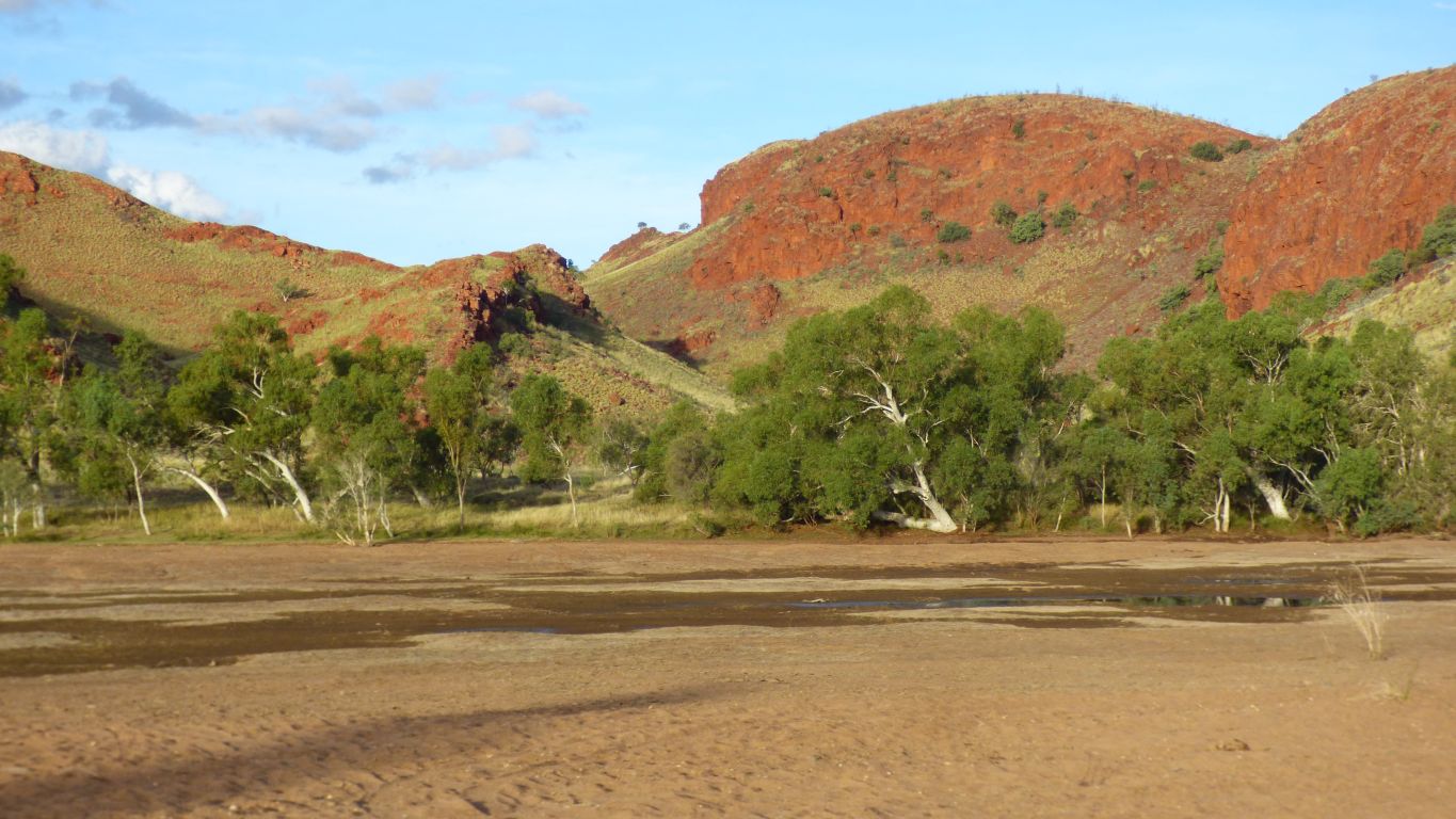
We think the creek is Sandy Creek, which is a tributary of Camel Creek, which is a tributary of Coongan River, which flows past Marble Bar and through Doolena Gap, then joins the De Grey River which flows into the sea quite a few km east of Port Hedland.
We've seen stromatolite fossils previously. The ones we are seeing today are about a billion years older (about 3.4 billion years), but have the same characteristics.
We are excited, and interested, and awed. That's a lot of geological time.
But this is site 8.
If we have the right location its a hydrothermal vent.
Surely a source of hot, mineralised, water for the microbes to do their precipitating work with.
I can't recall seeing one previously, or even being aware they may be recognisable after all these years.
We feel we've sufficiently penetrated, and debabelised, the geological language, which to the experts conveys massive meaning in few words, but to us amateurs creates a barrier.
If we hadn't been "geologising by numbers" we would have walked past this outcrop and possibly muttered something about "that looks different" without ever realising the significance. One wonders if we would even have been here.
But our school level Latin allows us to think "hydrothermal" equals "hot water". And we know the sea water had to be hot to dissolve the salts that the microbes later precipitate to form the stromatolites.
We have been looking at remnants of rock from the Archean (geological) Eon. A time when earth had cooled to the level at which continents could form, and life appear.
Life doesn't come much older than the microbes that created the stromatolites we've just seen the remains of. And the vent was a necessary contributor of hot salty sea water.
We could have read about it and looked at pictures ..... but that's not quite the same
So near yet so far.
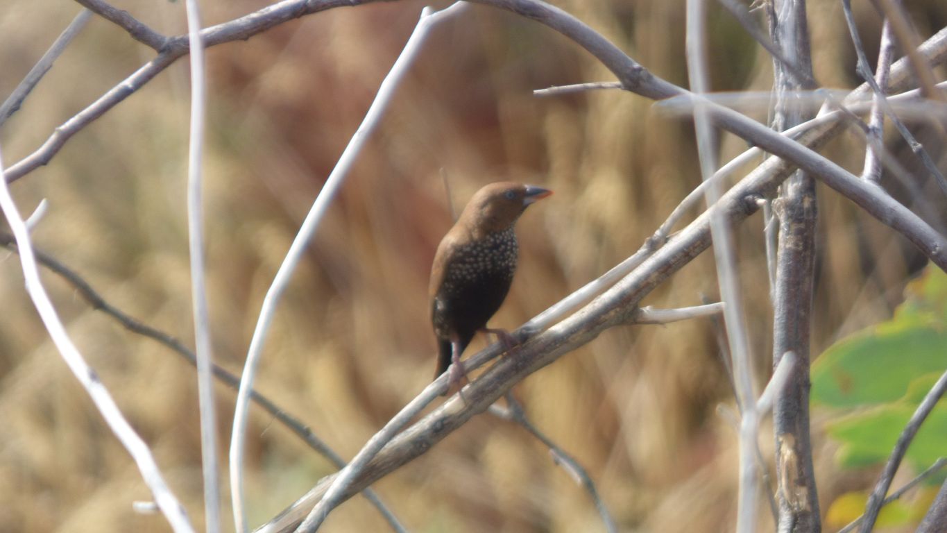
But just enough energy to focus on a painted finch that stood still long enough.
And our thanks to the Geologists who made sense of a contorted landscape.
I hope one day the proposal is resurrected and adopted.
The more we look the more we see.
I read a couple of days ago there are possibly 60,000 abandoned mines in WA.
This looked like it followed something onto an outcrop.
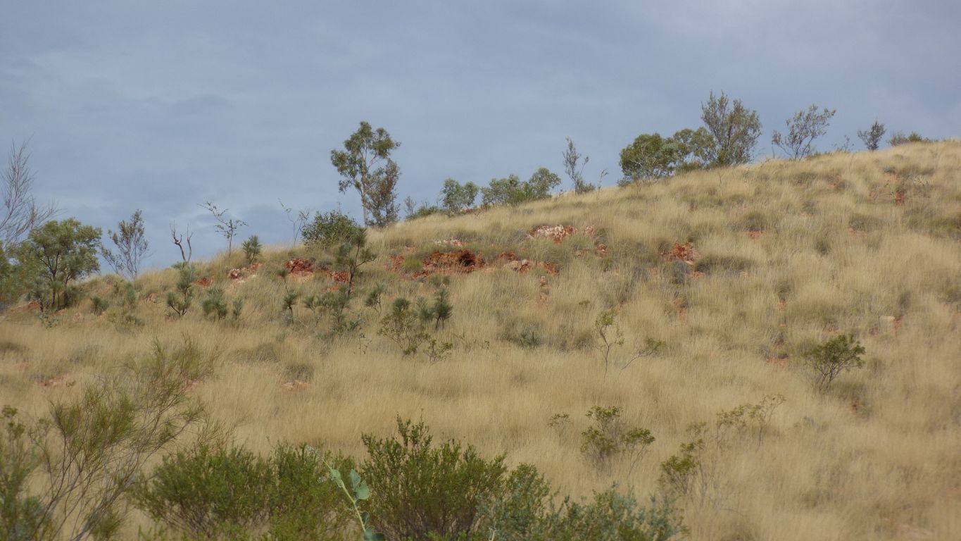
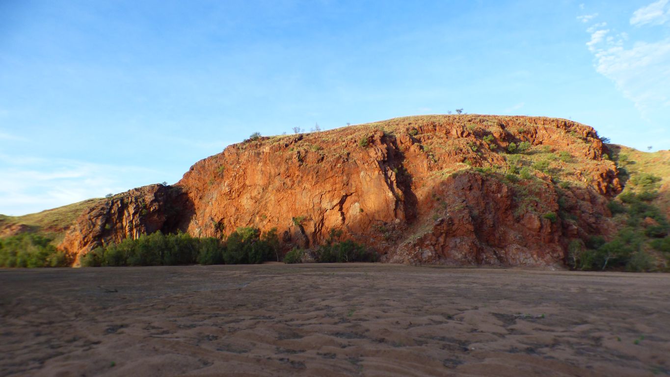
Nestled in the east side of the mountain range.
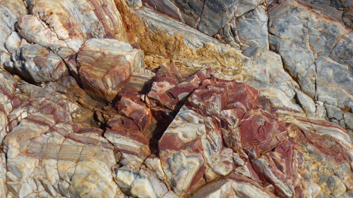
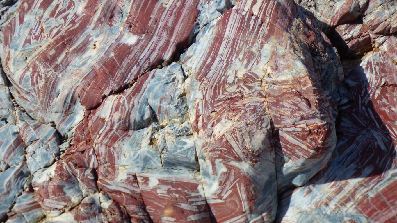
There is a sudden change in the surrounding earth a few km short of Marble Bar.
A change from red to white.
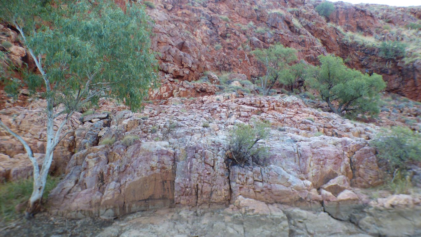
A few km back we passed Limestone Station and have been seeing "strange" outcrops for some time.
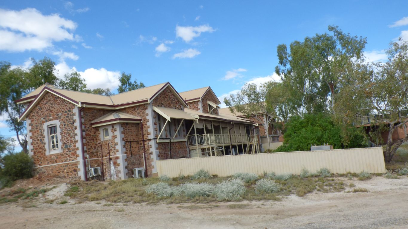
A fine old building.
Lean head to left please.
Red and blue rather than the orange and green we thought was jasper in Weeli Wolli Creek a few weeks ago.
Much more pronounced.
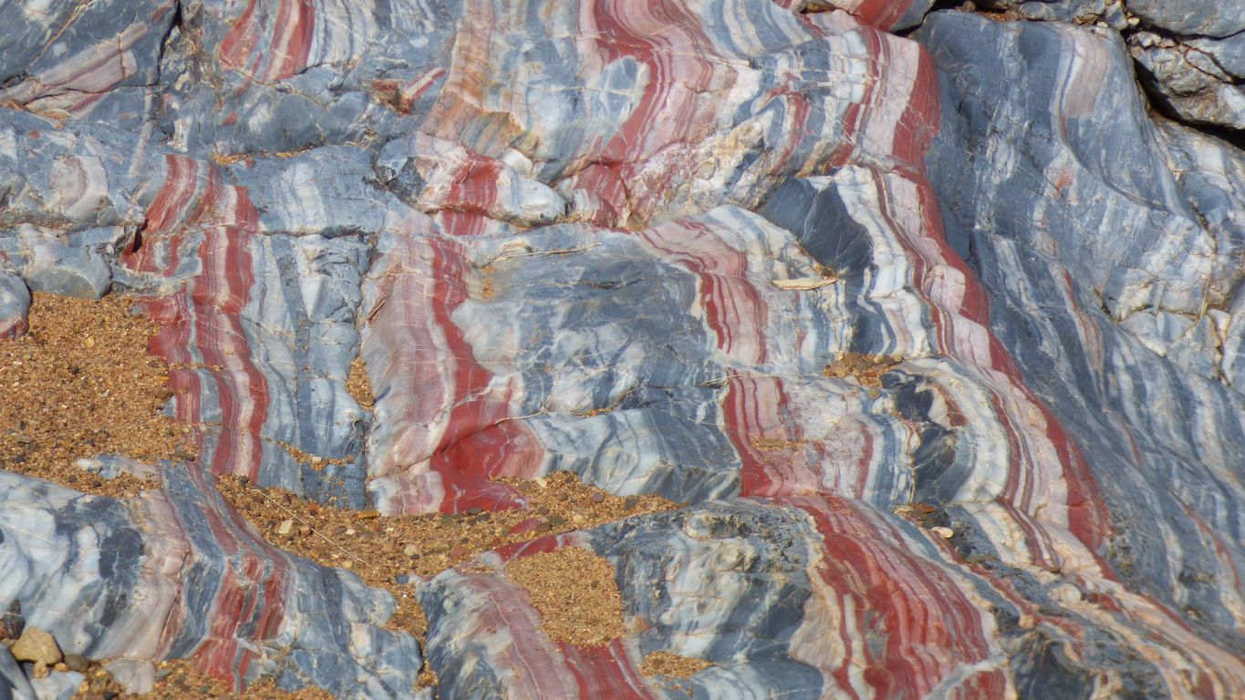
The sand in creeks we've been passing since Karratha, and has settled in hollows in this rock, is coarse.
I mention it as the sand on polished rock is a bit like walking on marbles, with similar consequences.
Just a couple of stretched muscles, no bruises or anything worse ....
Sometimes blue dominates.
Some research required. Again.
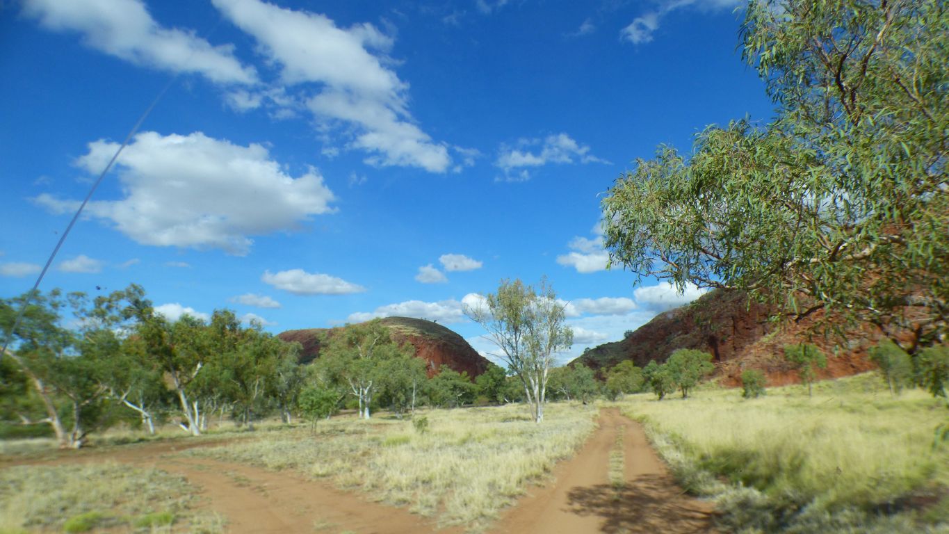
The entrance to Doolena Gap beckons.
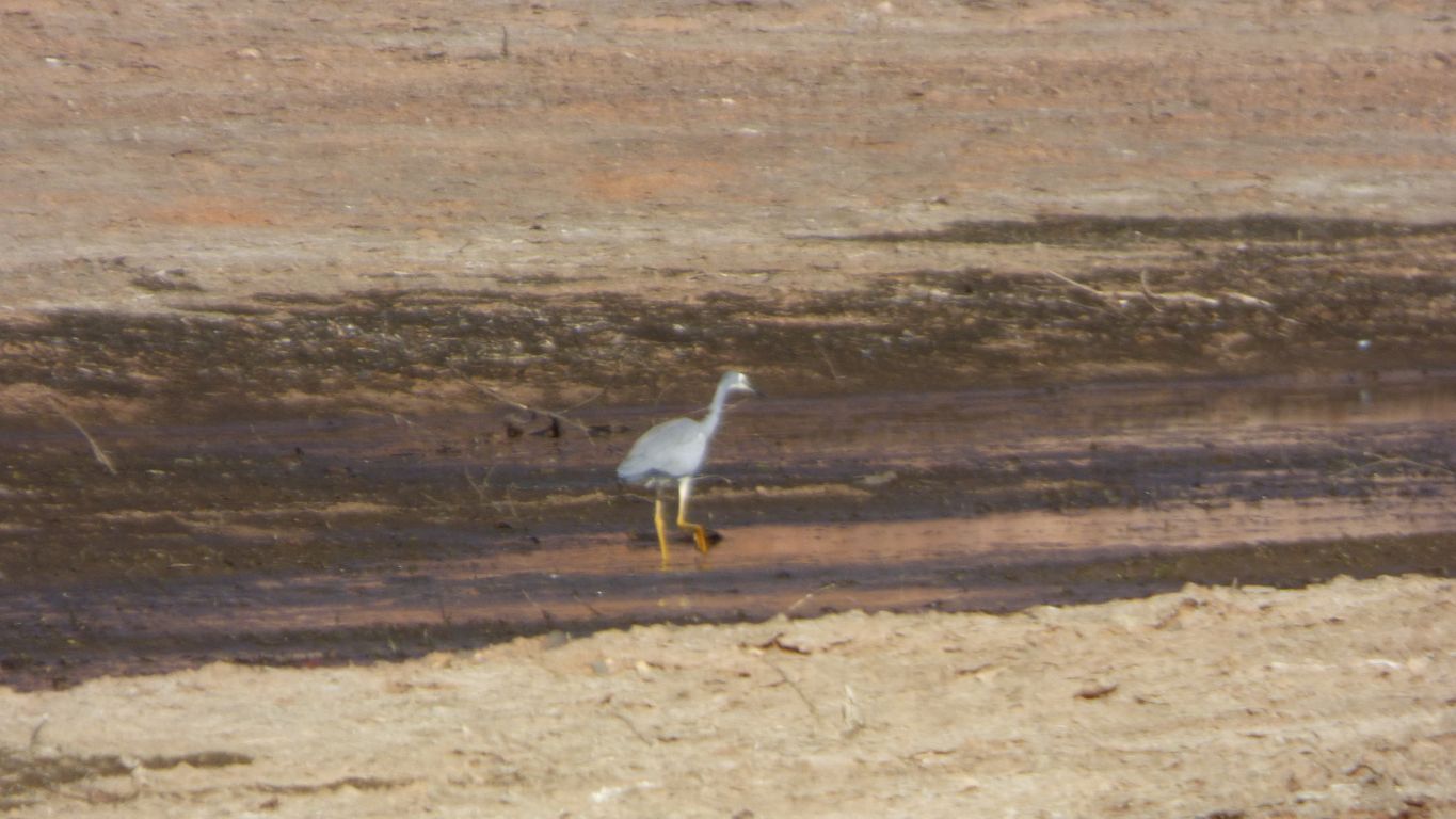
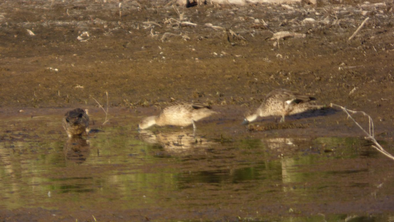
And a white-faced heron to welcome us.
Here we have a hint of the jasper that we saw 30 km upstream at Marble Bar.
We also wonder if its possible to drive along the sandy creek bed as far as the town.........