West towards Barrington Tops National Park.
There are four areas of rainforest down the east coast. This is the fourth we have visited.
We've been here a couple of times previously. But always when there are more people.
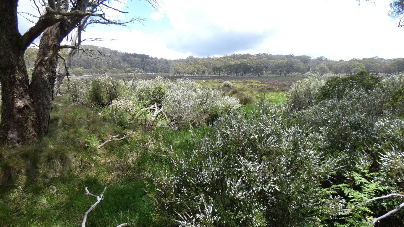
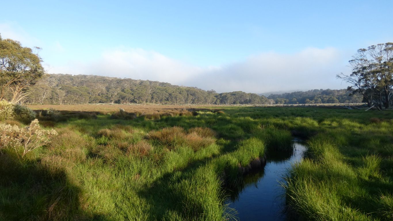
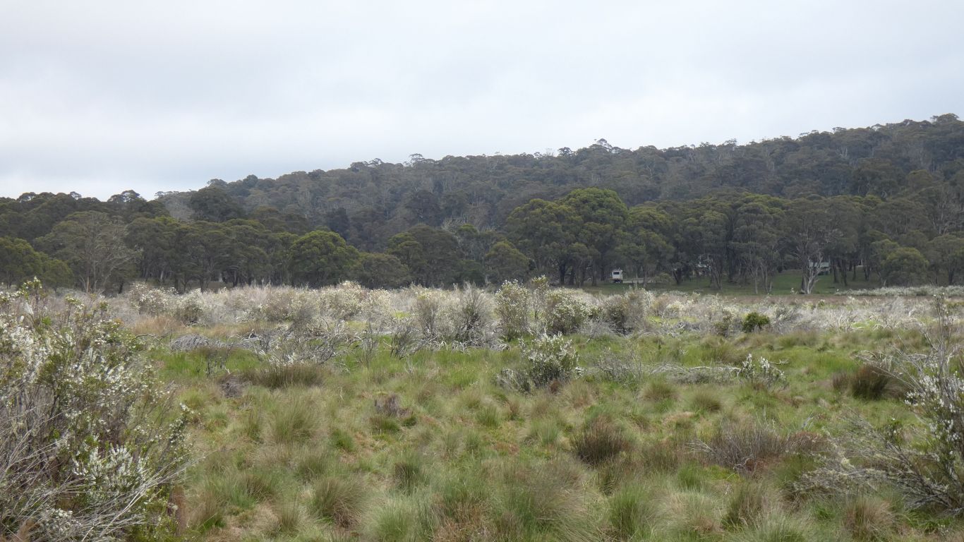
A walk around the swamp. The smell of flowers that follows us. We aren't used to that in the bush. On the far side of the swamp we took a left turn which we thought was a longer loop than just around the swamp. It came back to the main road along the gated Polblue Trail after an hour and a half or so. How quickly we become unfit, complaining about the slightest of rises to walk up.
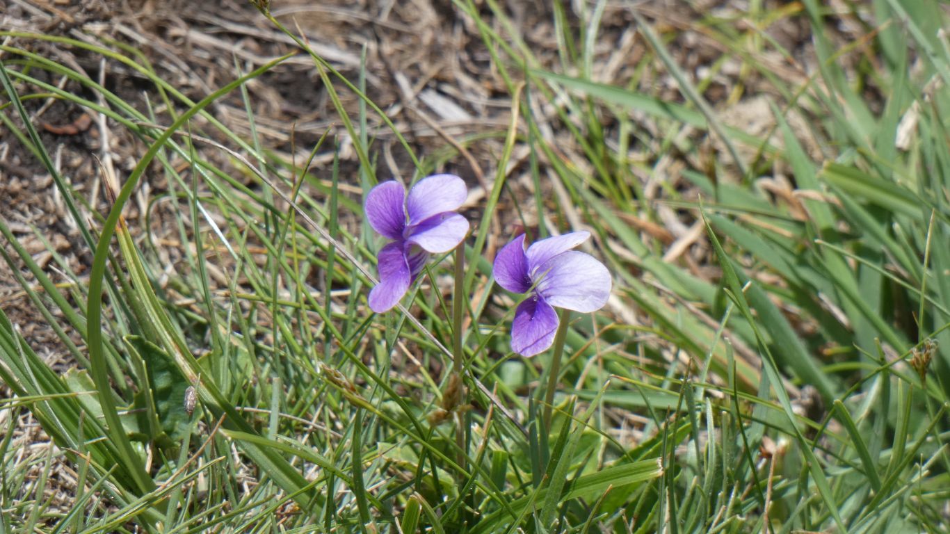
I haven't seen nettles for many years. Let alone been stung.
But here we are. Stung. And instant recognition.
No dock leaves to soothe the skin. Just that never forgotten tingling that stays for ages.
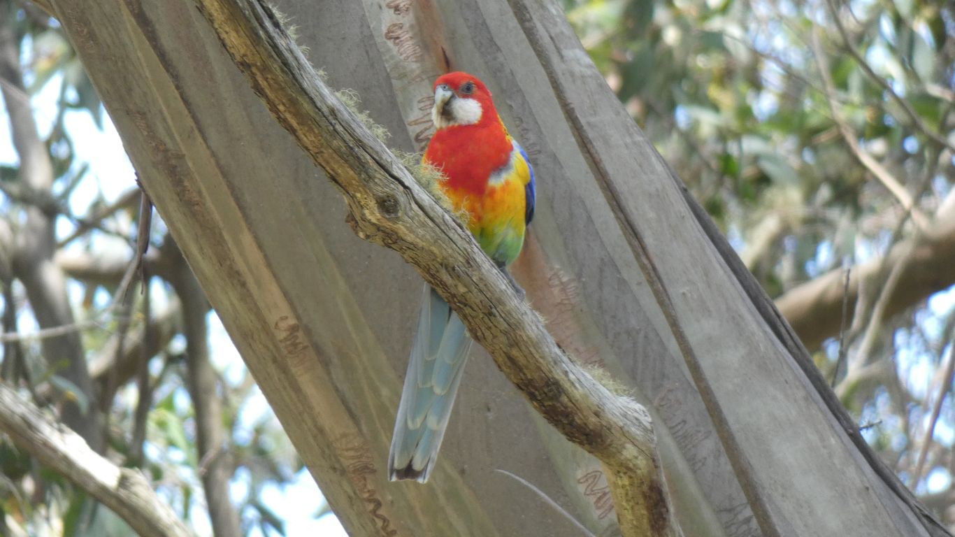
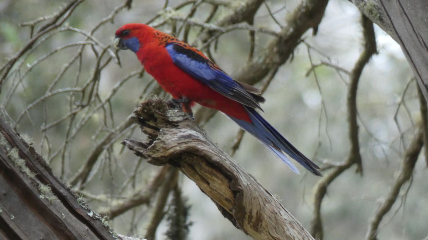
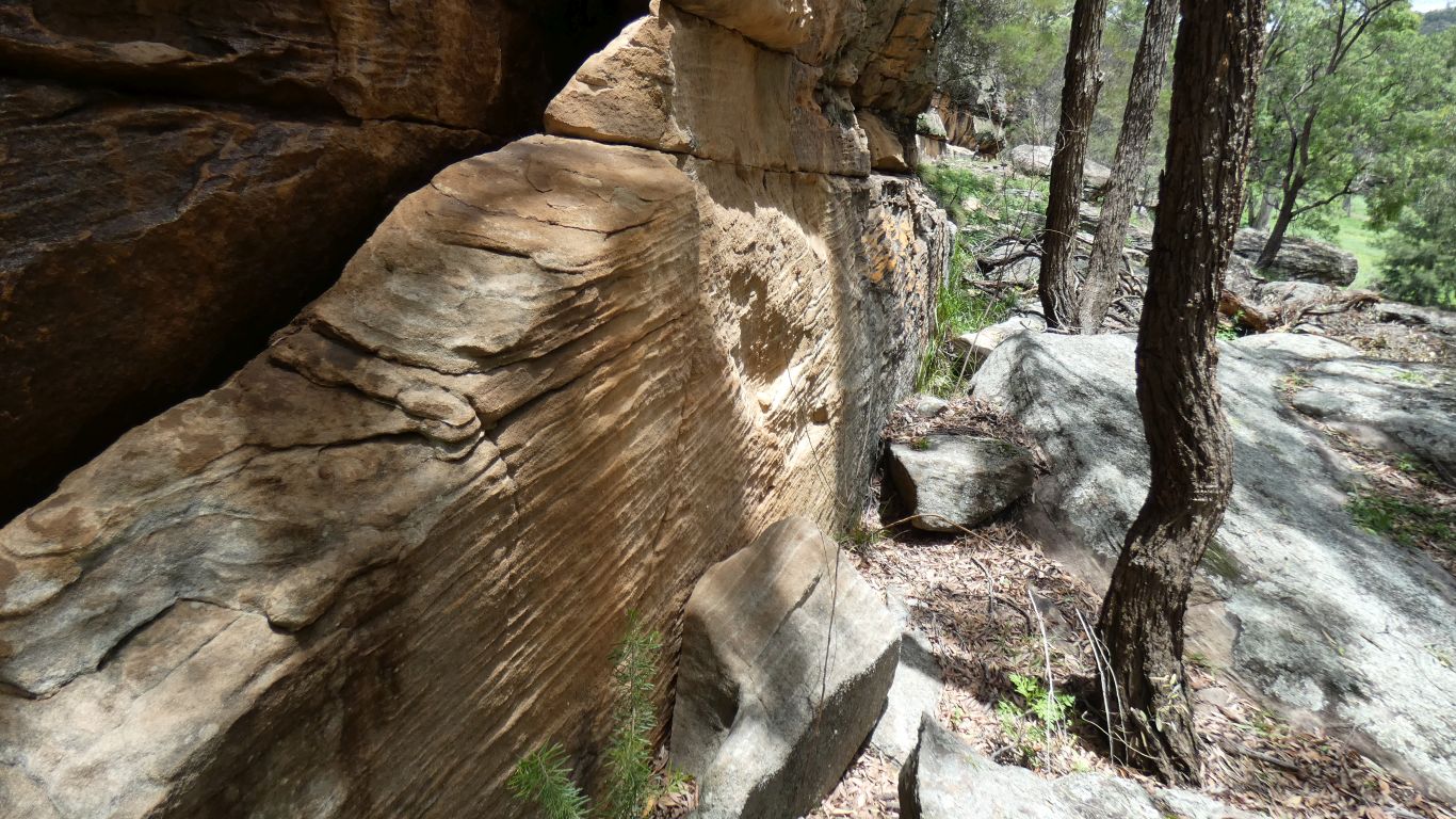
Just like last time we were here we marvel at the difference in colours between forests.
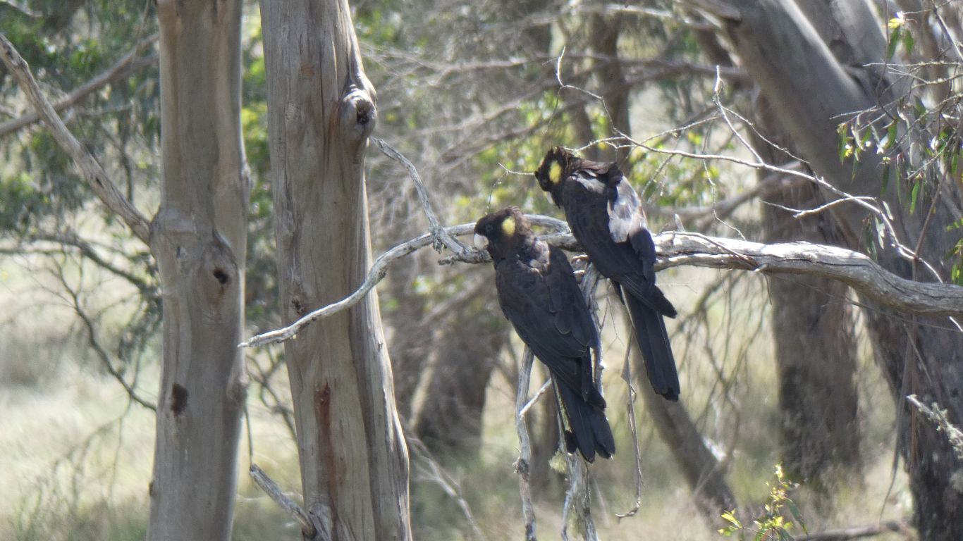
We even hoped to see frogs in the creek or edge of the swamp. But alas no. Though we have no doubt we'll hear them later.
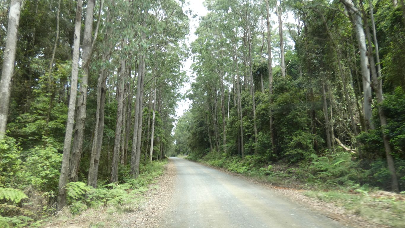
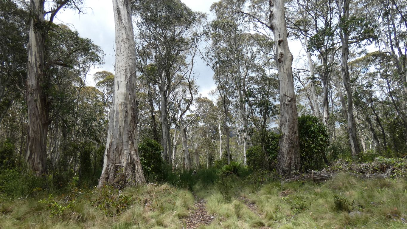
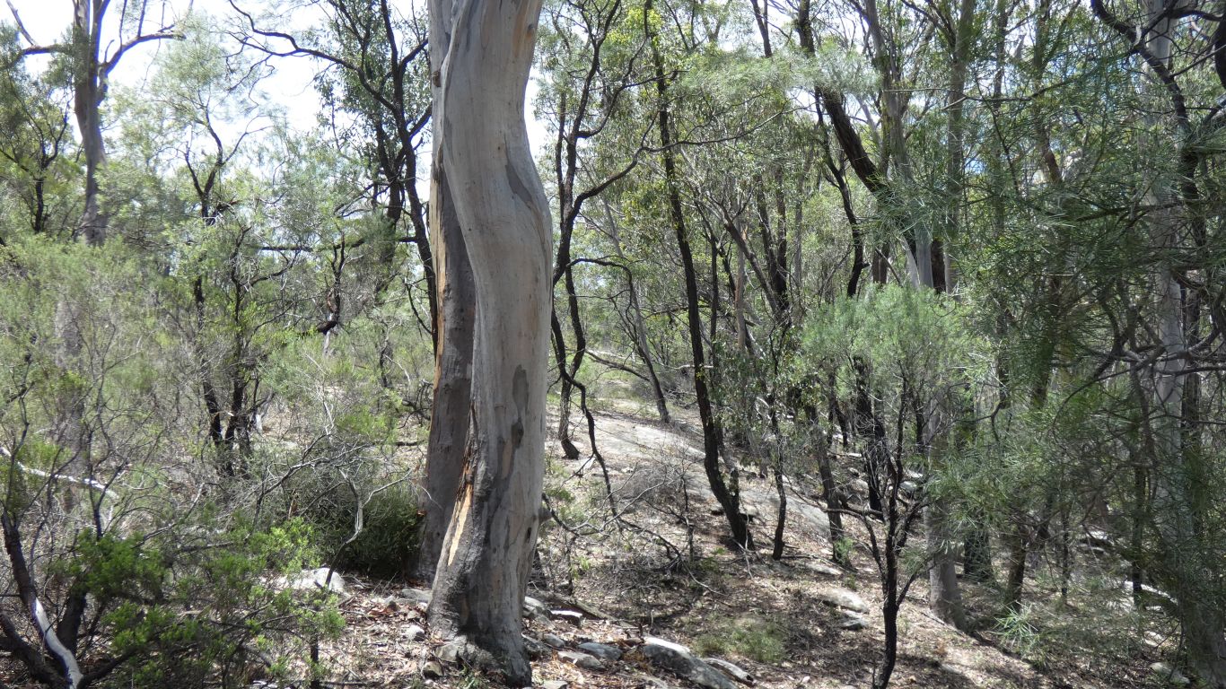
Past the closed campground via a bit of easy bush bashing, though more like a stroll through someone's uncut lawn.
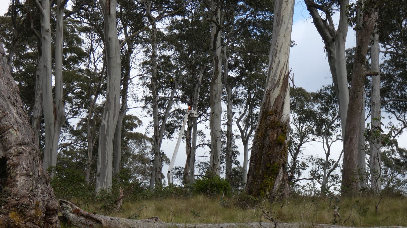
The cherry picker was in place and chainsaws in use.
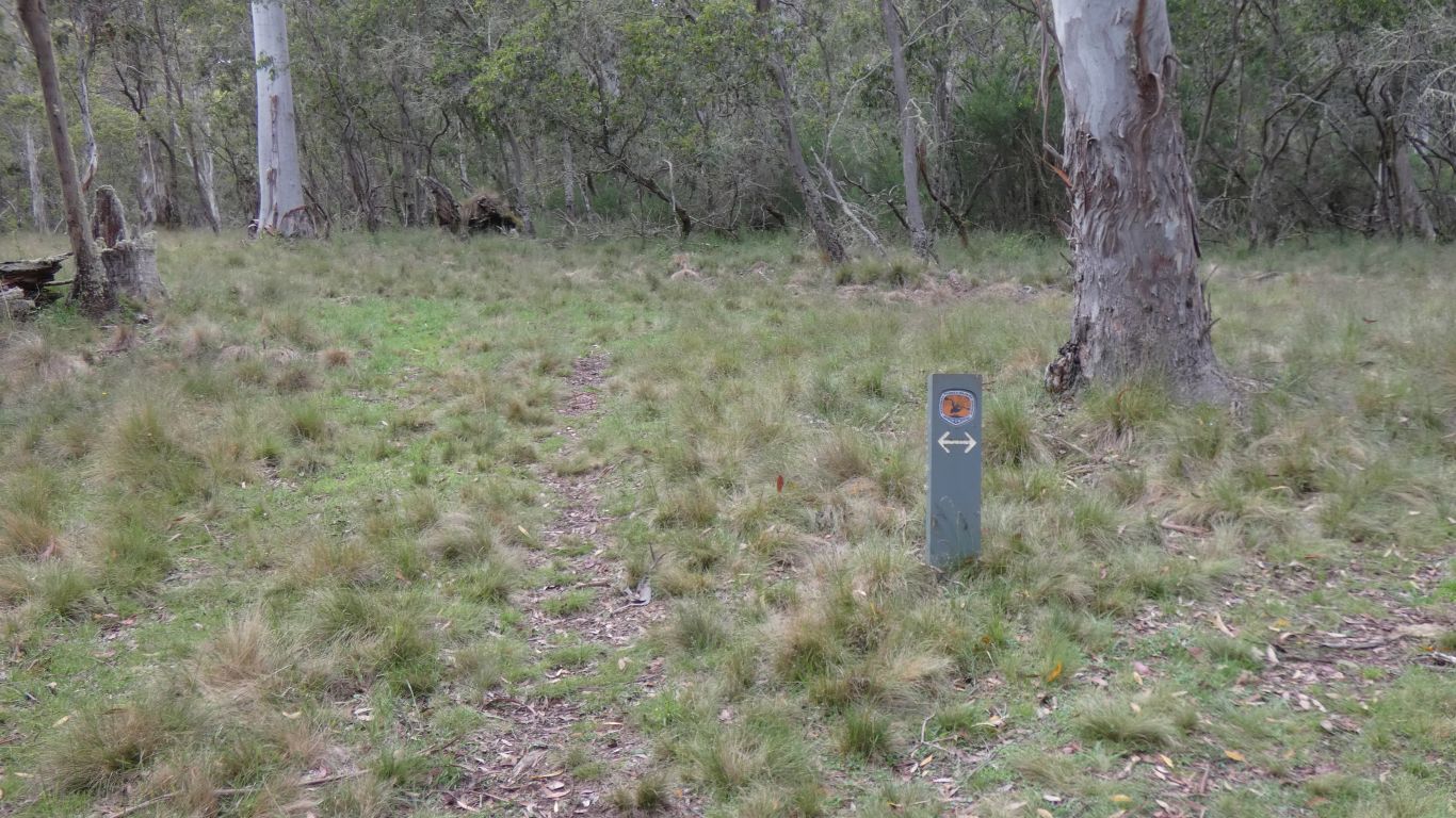
How could anyone mistake this sign for take either the left fork or the right fork when it obviously means don't walk along the track directly behind it.
For the record .... we did. Obvious in retrospect, hindsight is always right.
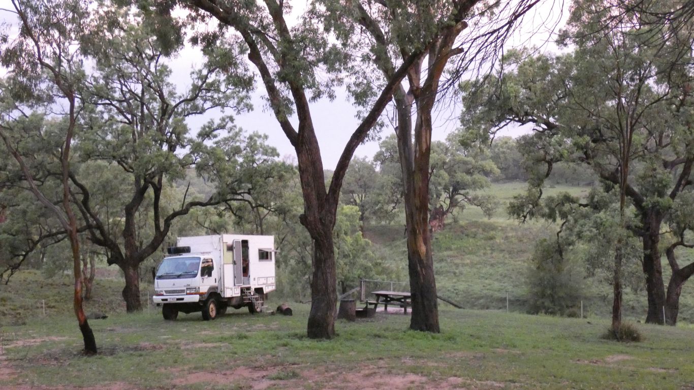
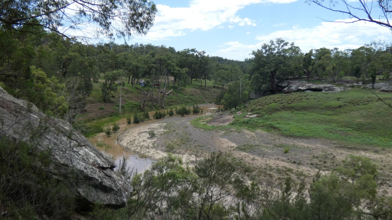
Halfway, the truck is on the far side of the swamp.
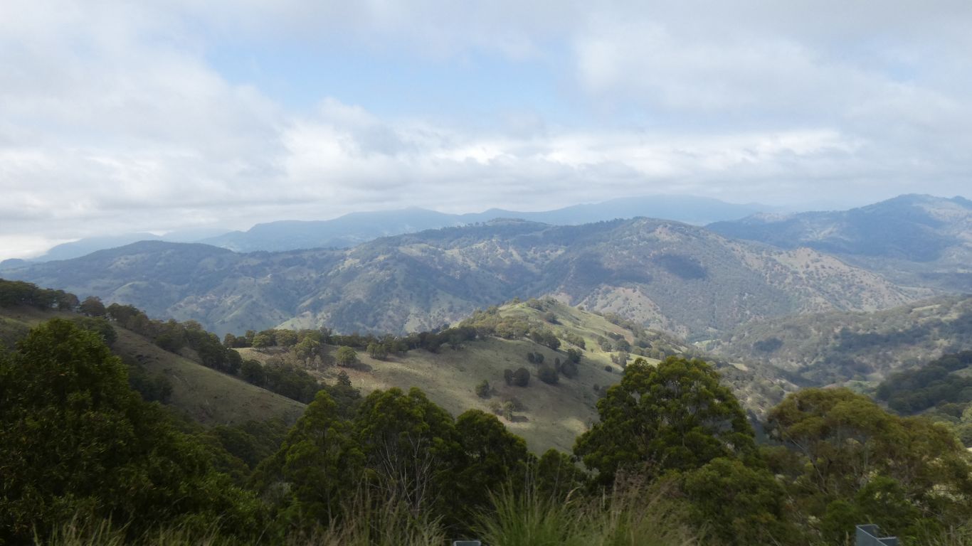
Somewhere, in the far distance, across the other side of the valley, is Wollemi National Park. No roads or tracks that we can find across it. Just radiating in from the edge.
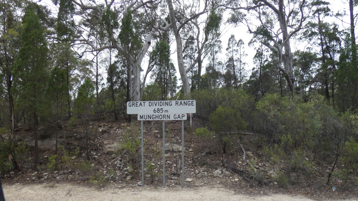
We will skirt around it and head south on the west side.
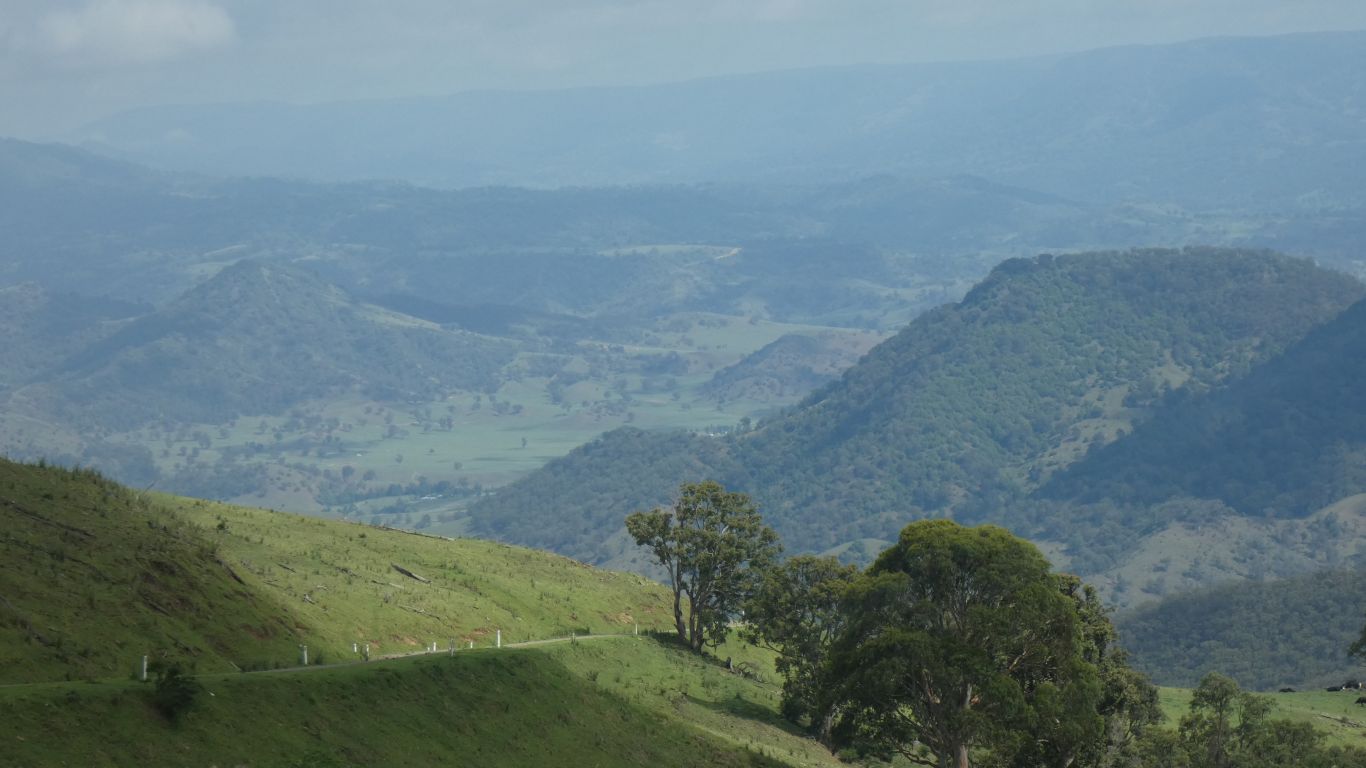
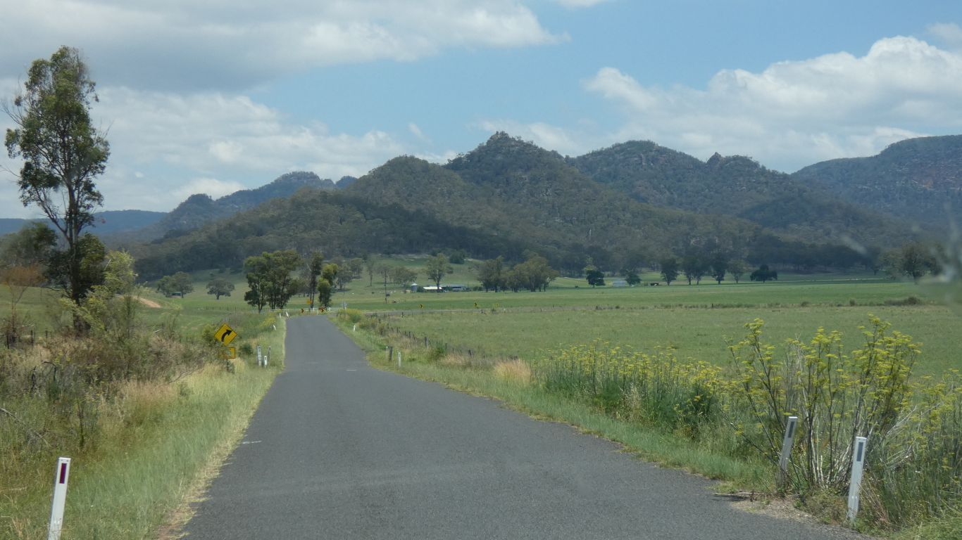
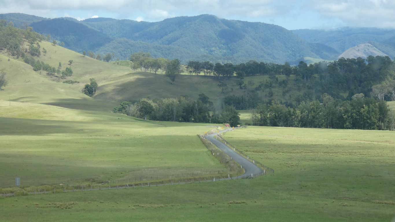
Through the Bylong Valley. Granite hills on both sides.
We really must pay better attention to the improved maps we have. The track passes through the park, past the campsites. Mogo Road (though its possibly Mongo as it passes "The Mongo") connects to Hulks Road. About a km north of Big River Campsite there's a ford. We'll detour on our way out, to check for future use, before heading south.
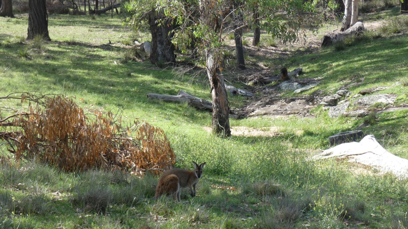
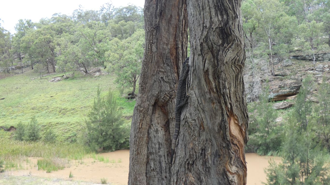
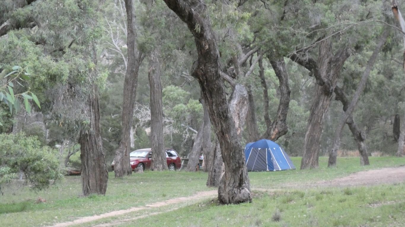
We were welcomed to the campsite by a mildly cautious wallaby.
The first thump took us by surprise. A mental image of a very large tree branch falling onto a very small truck.
But it was just a single thump. No sound of scraping as something falls off the roof to the ground.
Then another. And another. Then lots. Like someone hitting the roof with a large hammer. A bit unsettling.
Very loud in the confines of our fibreglass box. Thor is more angry than usual. No gentle peals of thunder in the distance. The flashes of lightning and cracks of thunder are so near simultaneous we can't separate them.
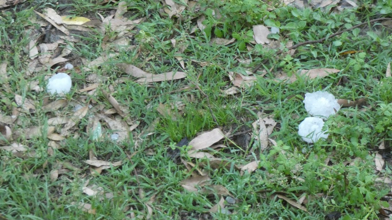
Large (50mm) hailstones and heavy rain.
We've never found a tectite, but we've seen them in museums. We see similarities in the squashed shape of some hailstones that have probably hit the truck and bounced off. Perhaps the result of a hard centre and a softer outer.
The rain continued. A downpour, reminiscent of tropical rain. The roof leak repairs have worked. The flow of water from the roof, where the gargoyles are missing, is as strong as we've seen. A significant storm.
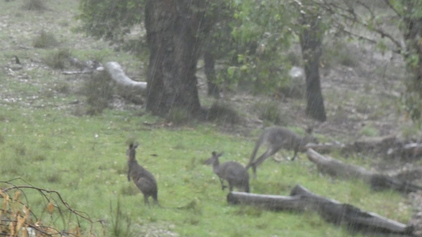
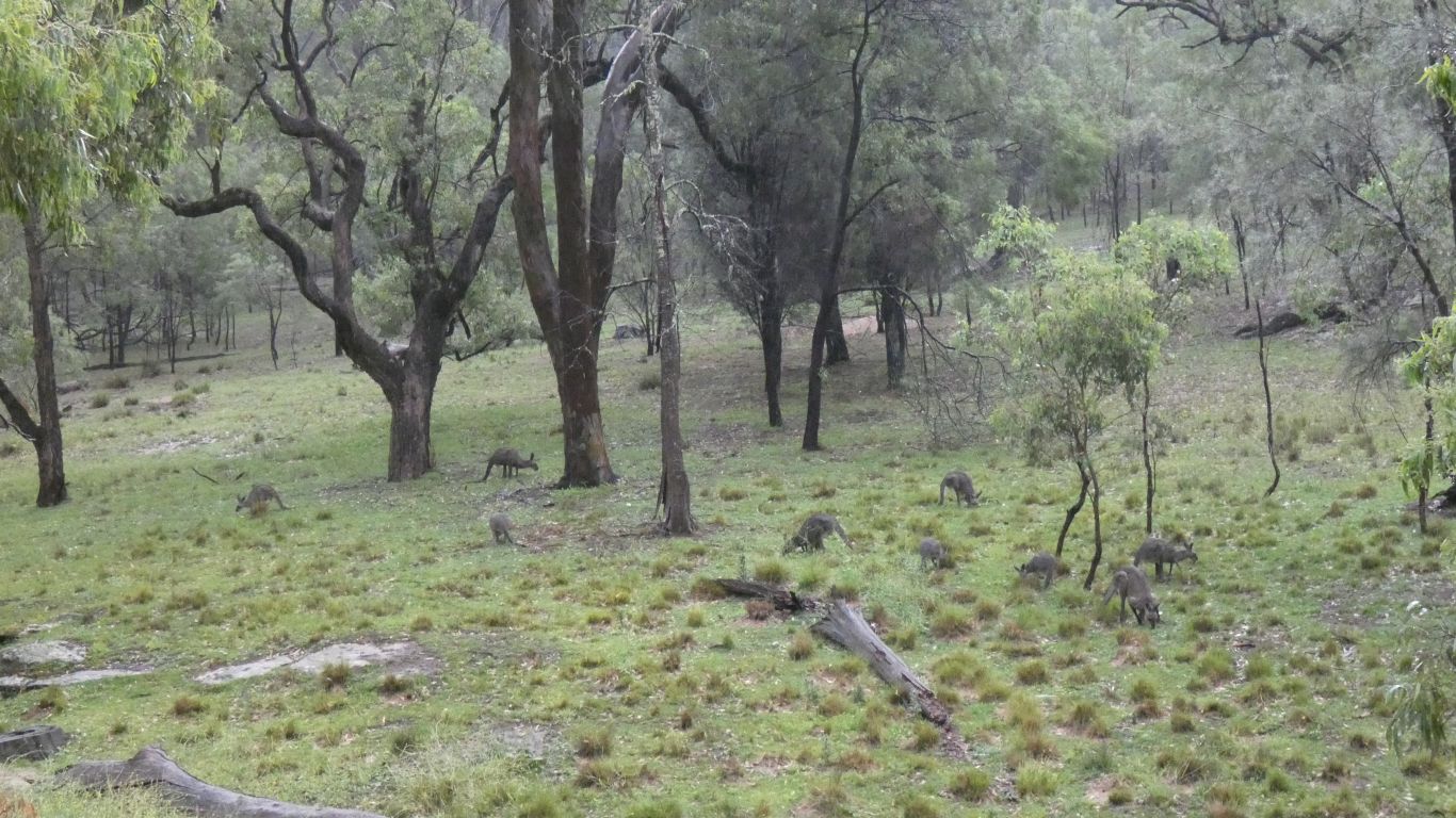
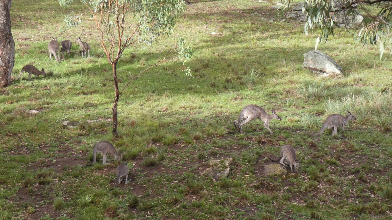
And out came the kangaroos to feed. Its warm rain.
Its hard to photograph rain .... while wondering if we'll ever change the "photograph" to reflect the digital age.
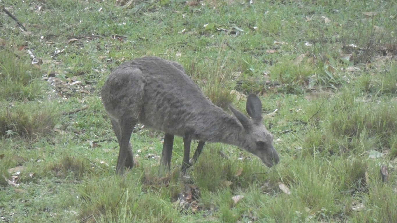
Apart from an outer sogginess, which presumably is halted by thick fur, they look content.
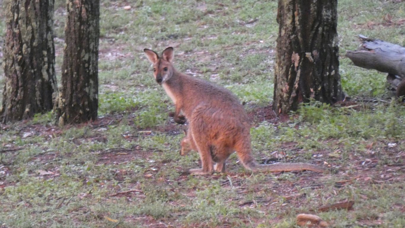
We think we can spot the difference between wallabies and kangaroos. Though the colouring may just be the result of changing light.
That delicious orange light that sometimes occurs with the sun low in the sky after a thunderstorm.
The solar panels are providing volts so are still connected. They look good. Its tomorrow to know they are intact and behaving normally.
We'll spend tomorrow here and investigate the river a bit. Then southwards on Friday, to arrive near Braidwood on Saturday via some last minute shopping (and replace the Chromecast thingo) in Goulbourn.
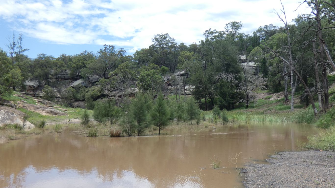
I took the hand held gps, but not water. And headed down the river, towards the next campsite. About a km along the road, unknown along the river.
The river has risen, the immediate bank is impassable.
I figured I wasn't going to reach the other campsite and decided the shortest way back was best. Up a little further, with frequent rests, and over a ridge that formed a long bend in the river.
This pic is my first glimpse of the road. Exactly where I thought it should be.
But what a very long 100m. A glimpse of what it may be like to know that its too far.
Once on the road it was downhill about 500m to the truck. No stops, but what a long way. Then a couple of litres of cordial, some sugary stuff, and a long sleep.
How easy to get a simple walk so wrong. Despite all my experience.
It was 1991 when I realised that despite, or perhaps because of, all the security stuff it was possible to lock keys inside a new Ford. This is a 2007 Holden station wagon.
I tried a few approaches, including removing trim from doors. But ultimately break the small window in the rear passenger door. Not as easy as it sounds, a half dozen hits with a hammer then lots of clearing up. The gorilla tape we purchased found use to cover the leftover edges of glass still glued to the frame and add a sheet of polythene bag to make it waterproof again.
Then the sun and the kangaroos came out to play.
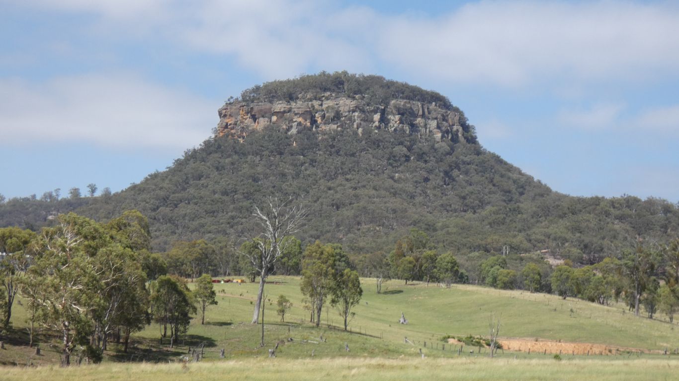
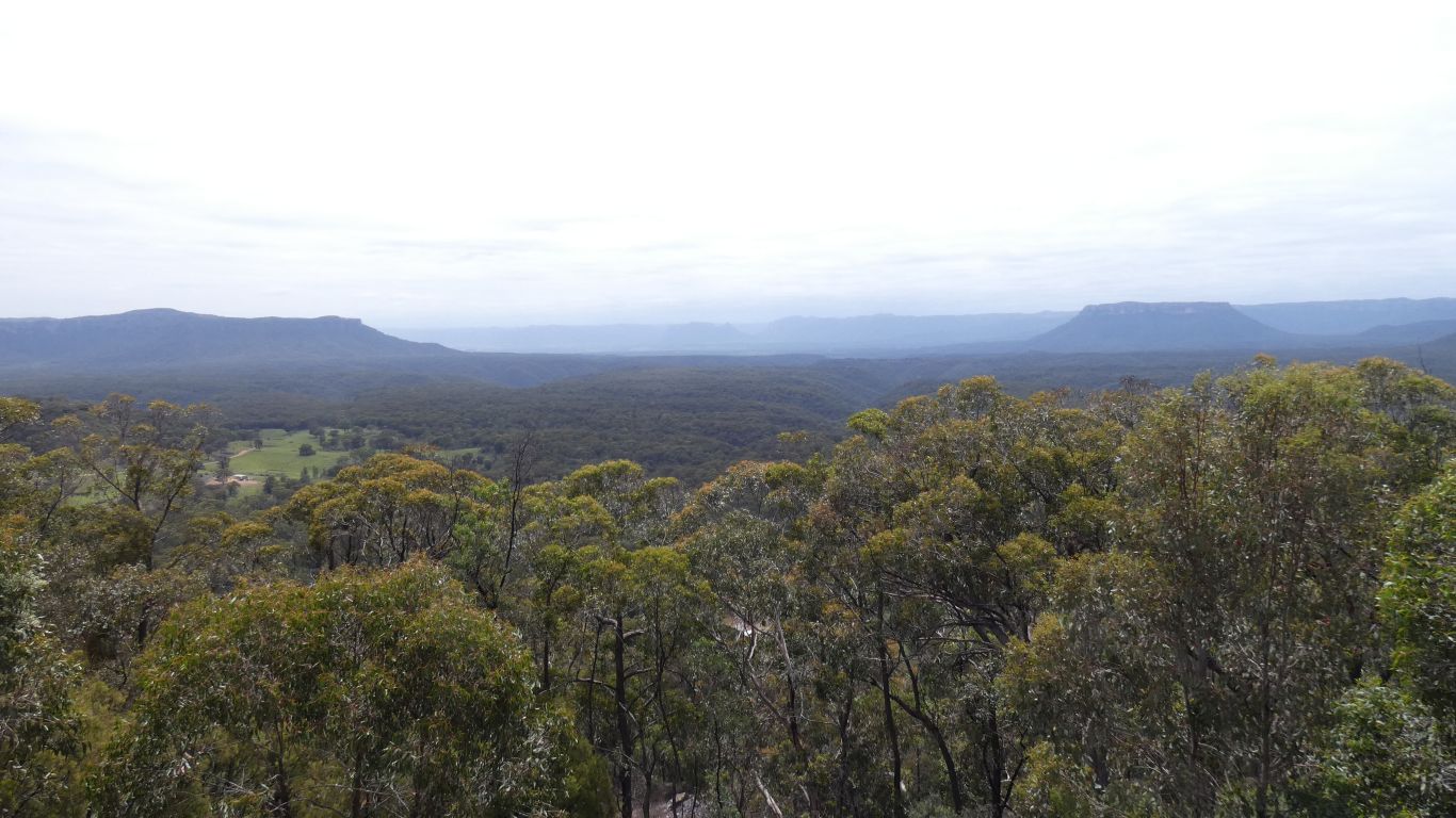
Somewhere in the general direction, between us and Wollemi NP is "Gardens of Stone" National Park.
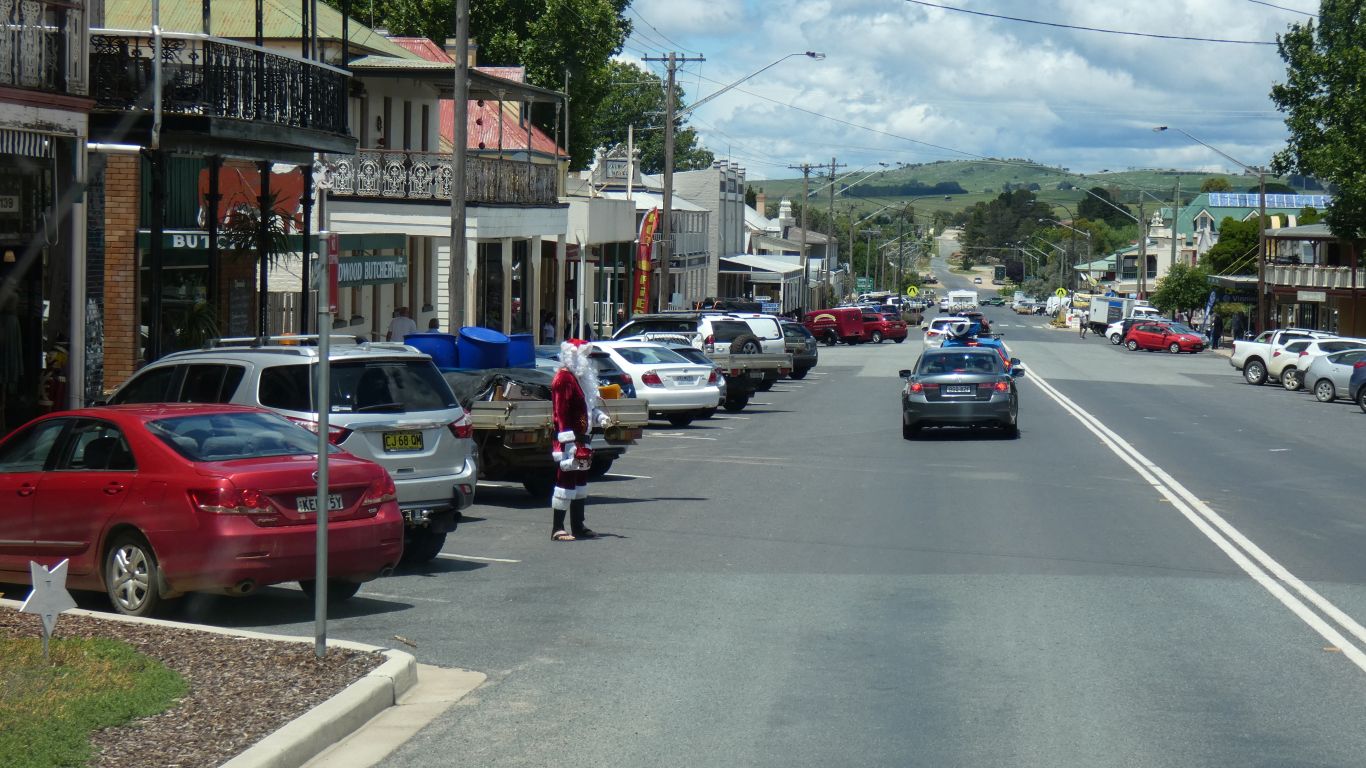
Just as intriguing is a large sign in Capertee showing various bird watching sites around the valley. Apparently "world class" bird watching.
We tried a combination of stationary and moving gps but even with real-time kinematics we couldn't get sufficient height accuracy. So we tried the barometer in an iPhone.
Sadly after about 300m walk to the top of the rise and back the reading at the end was 2m different to the beginning.
More thought and testing required.