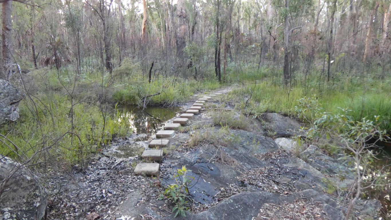
Sunday morning, after a most strange election, we set off early and reach Auburn River National Park. Just south west of Munduberra. We've lived in Queensland for nearly 30 years and not been here previously. Its a big state.
The park is granite. A small gorge cut by the Auburn River on the way to the coast, about 180 km for crows. A tributary of a few other rivers.
We are west of Fraser Island, about 400km from home. Really a convenient overnight stop. But also a couple of short walks to give our legs, stiff after hours in the cab, some exercise.
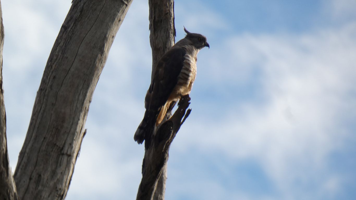
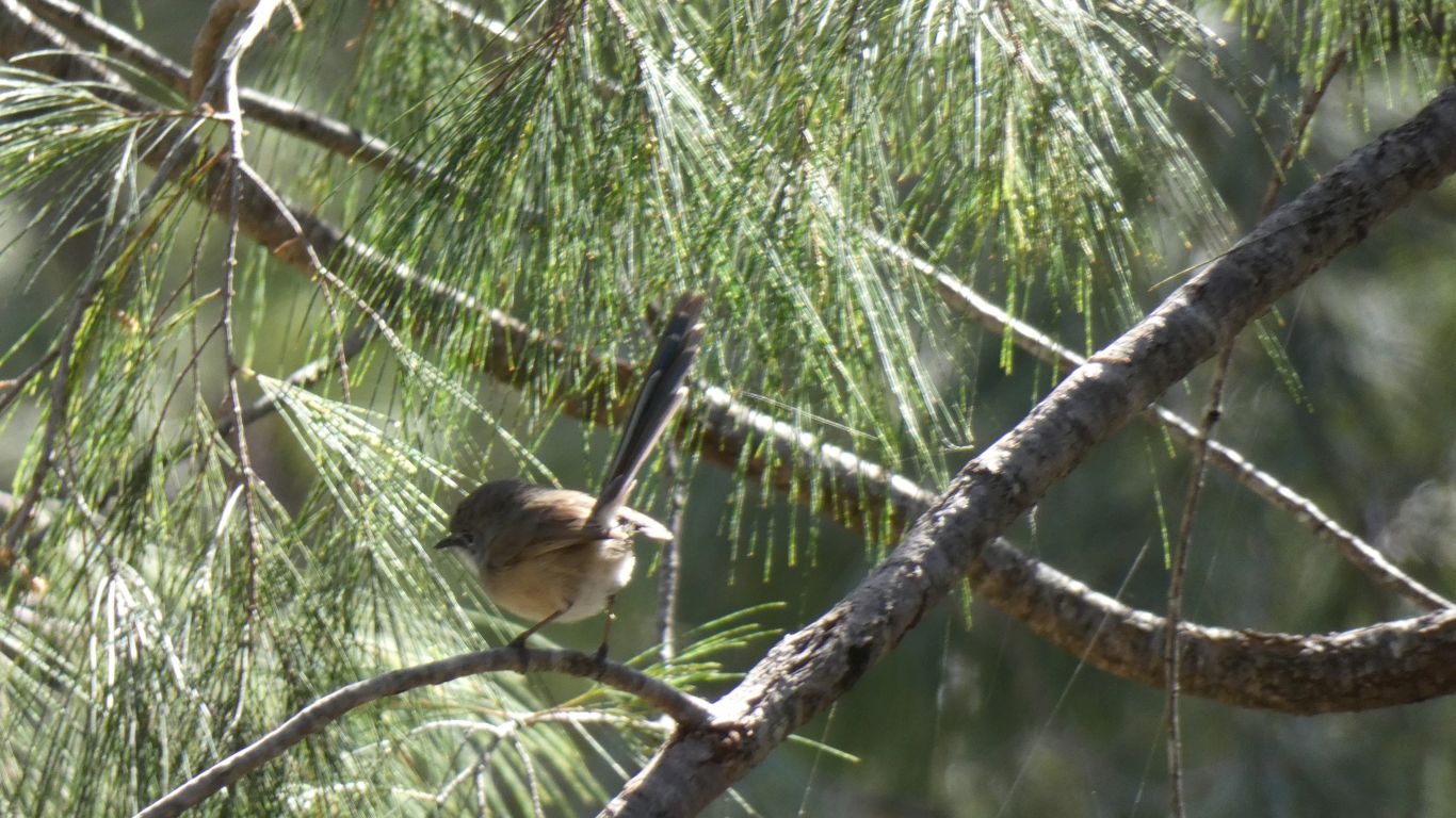
We've remembered the bird book this trip. But not looked at it yet .....
The last 7km into the park were reputedly rough. Not too bad for us, a dirt road with a few corrugations and holes.
Some fluid had appeared on left hand rear shock absorber, on the axle, on the back of the brake, and in the lip of the wheel rim. Lots of searching and checking. No loss of brake fluid, inside drum looked dry, too high on the shock absorber to have come from it (new and only travelled today), the shock absorber seemed to be working ok, no distinguishable smell so perhaps water from an overfull tank. Over the next couple of days it seems to have dried. Monitoring will continue......
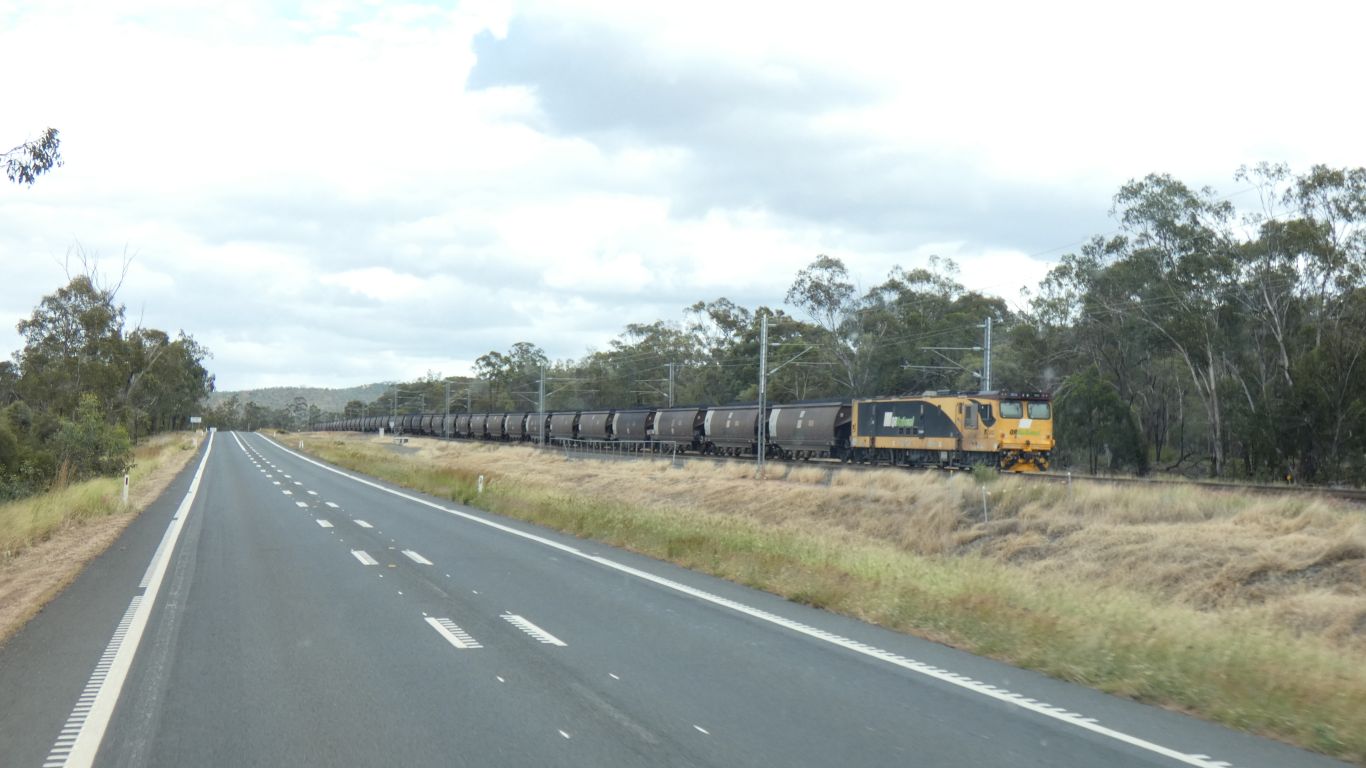
The first thing we notice as we turn west along the Capricorn Highway is the rail line. Two lines, electrified. For coal from the Bowen Basin. Many millions of tonnes per year of it. Mostly thermal coal, on its way to the coast for export.
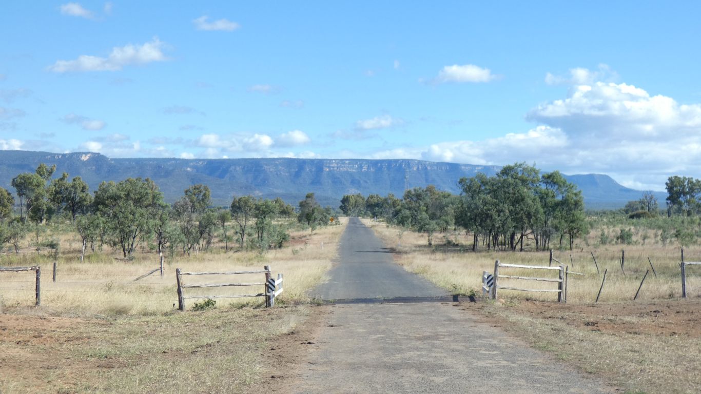
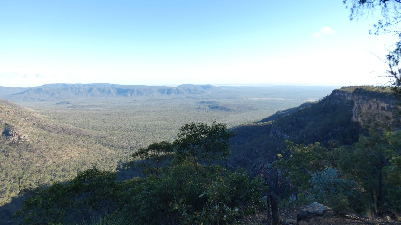
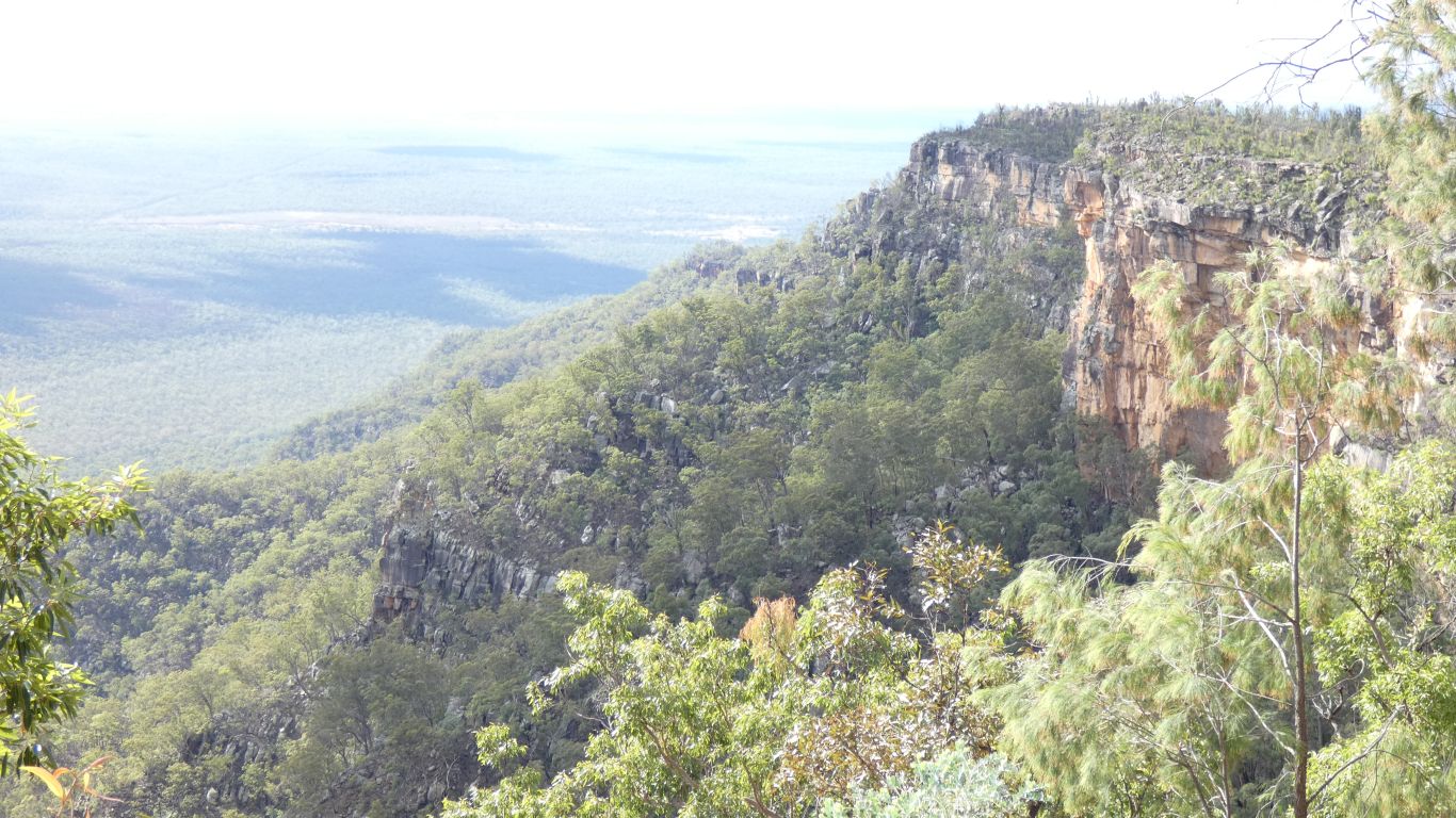
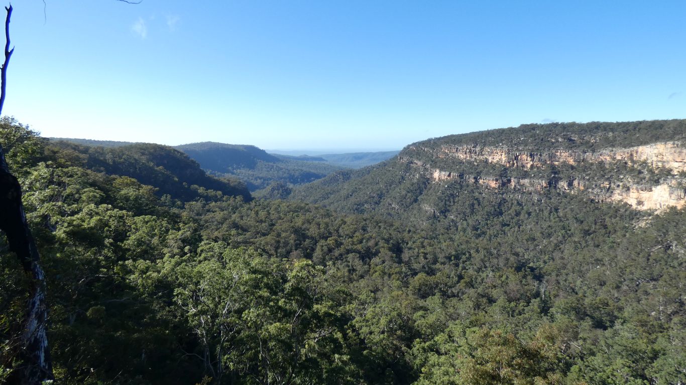
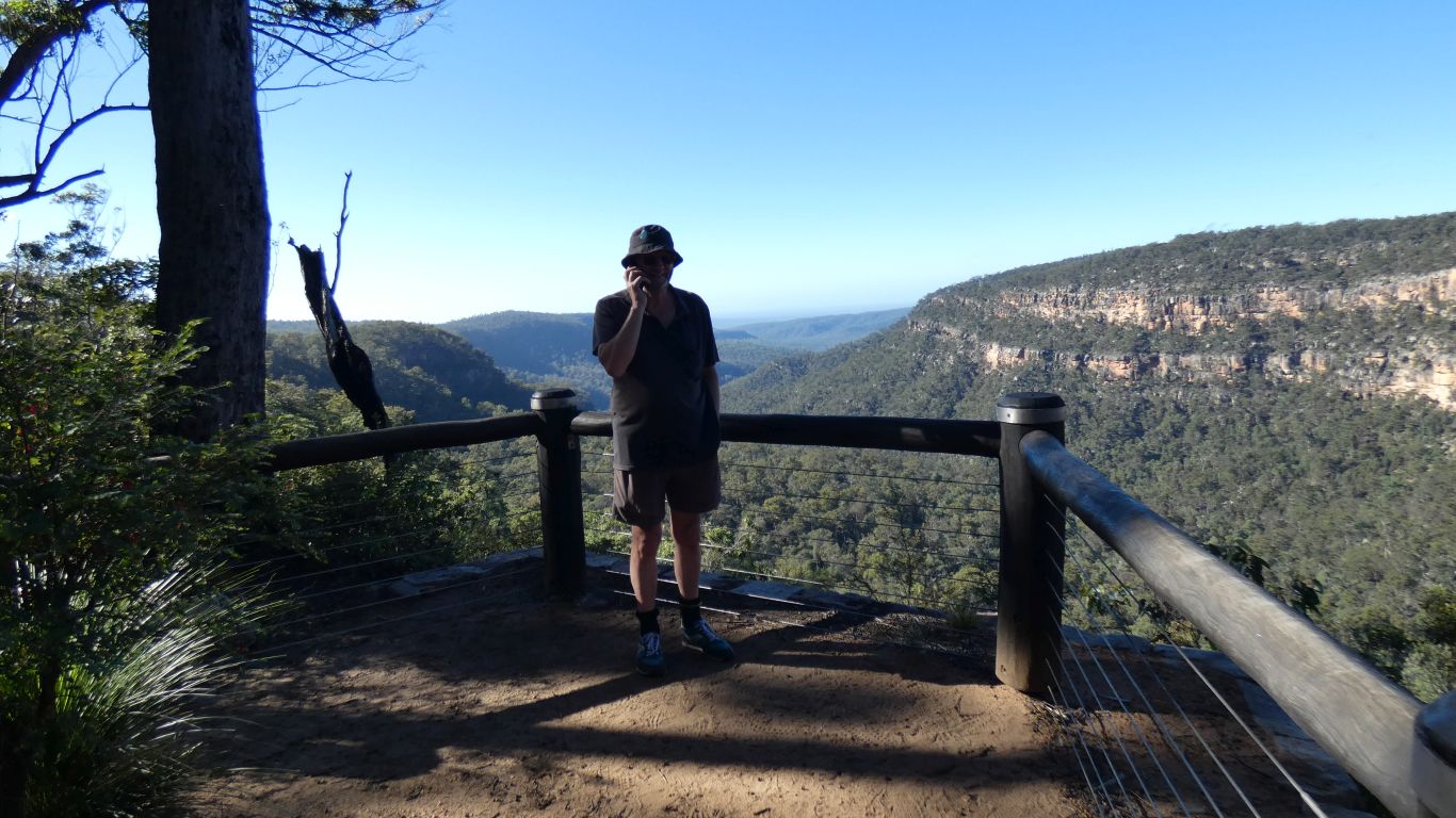
There's a steep road to the top of the escarpment.
Sandstone, on the edge of the Bowen Basin. The northern end of the Expedition Range.
The first European use of the tableland was cattle. Poor soil and pasture meant the cattle were moved down to the plain after a few days.
Around 1971 the road was built to support logging. A particular sought after tree type.
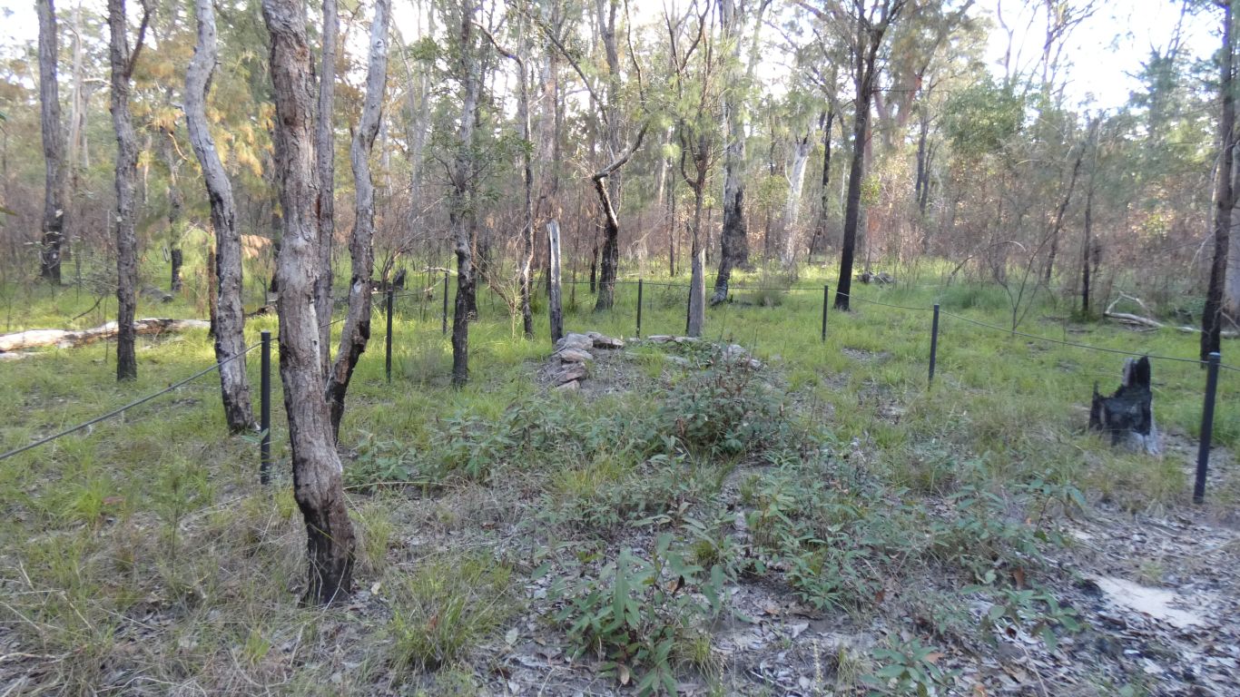
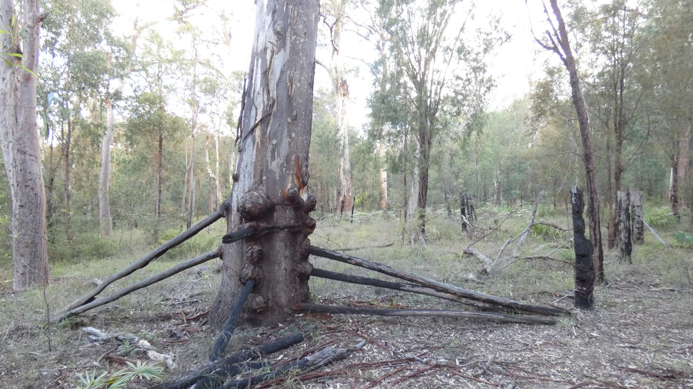
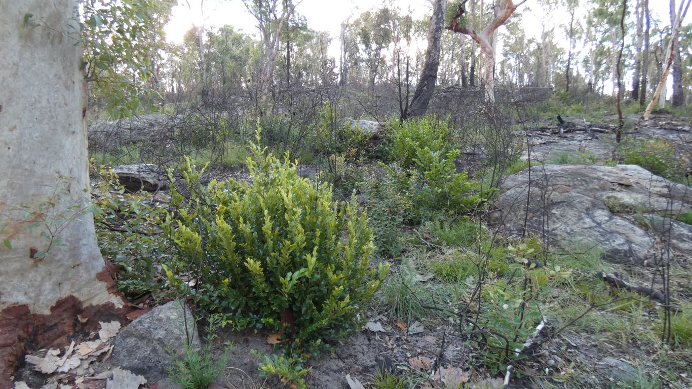
There's been a fire not too long ago so most of the things the interpretive signs point to have been burned.
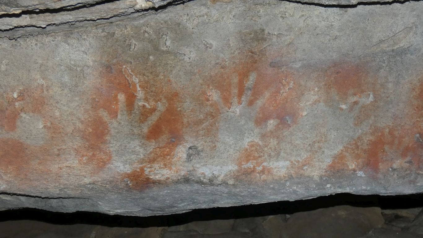
Under a suitable overhang that has protected them.
The hand prints seem to be of left hands (assuming palm down) so perhaps spraying involved the right hand.
We wonder if there are left handed Aboriginals.
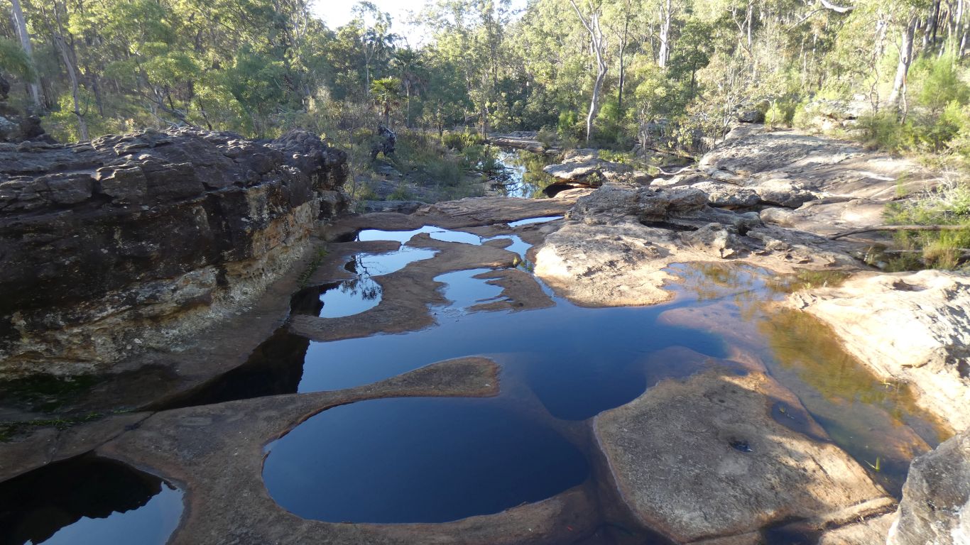
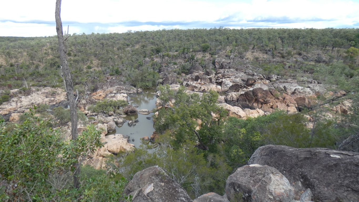
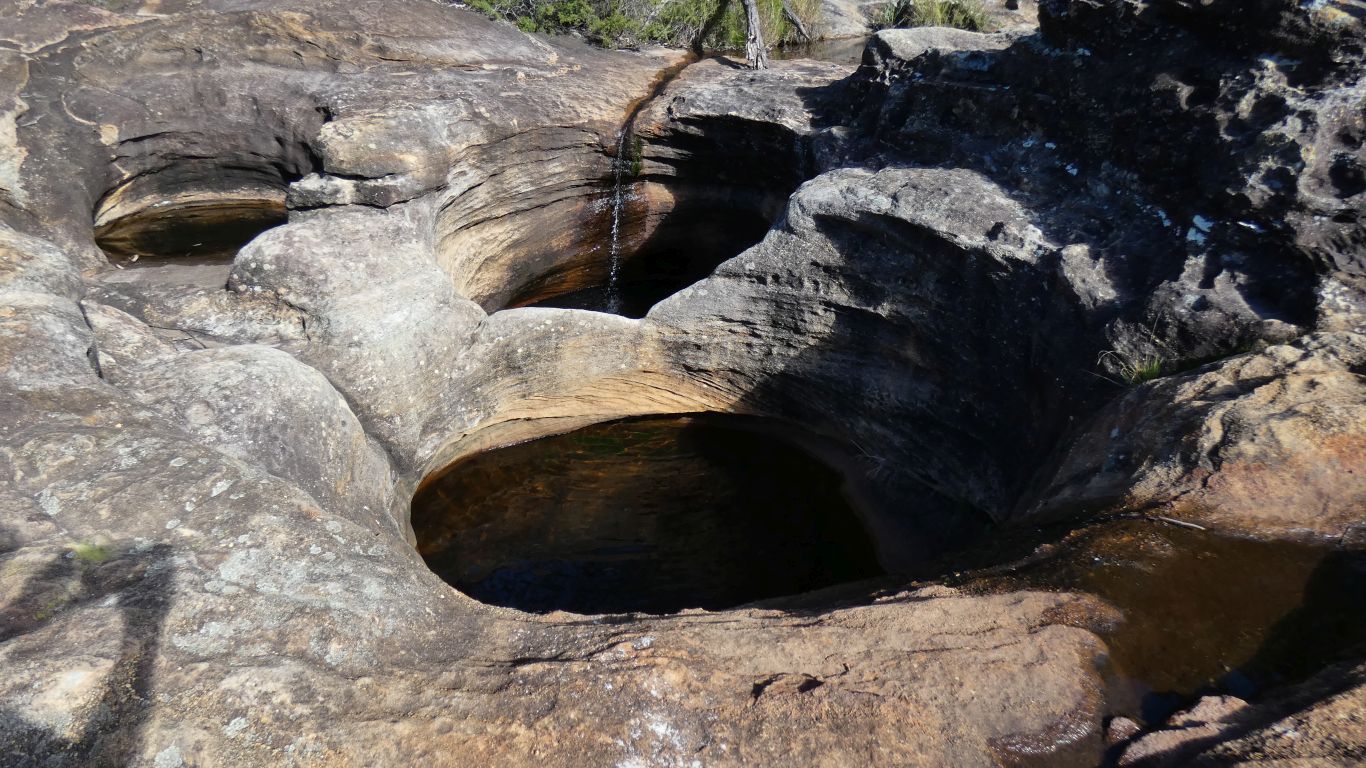
These are deep rock pools in Mimosa Creek. They look like they would be just the right size to sit in and cool off during summer.
We'll know for next time.
I never cease to marvel at the difference in vegetation as altitude increases.
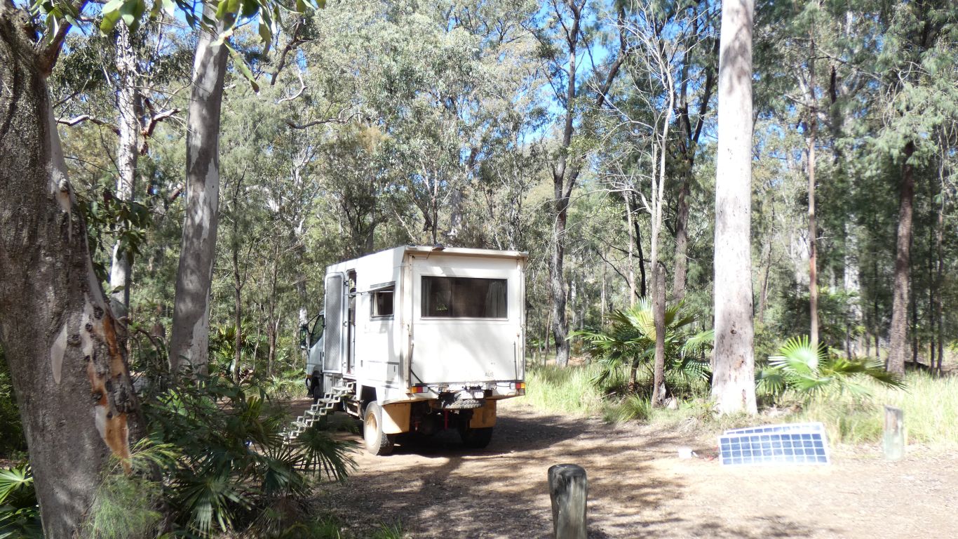
I had two panels leftover so turned them into portable panels. Ideal for camping in forests where shadows limit panel output.
The portable panels made the difference between worrying about electricity and having adequate.