| |
|
|
| Burdekin River - Charters Towers to Mt Britton |
 |
August 29 - 30 2019 |
| |
|
|
 |
|
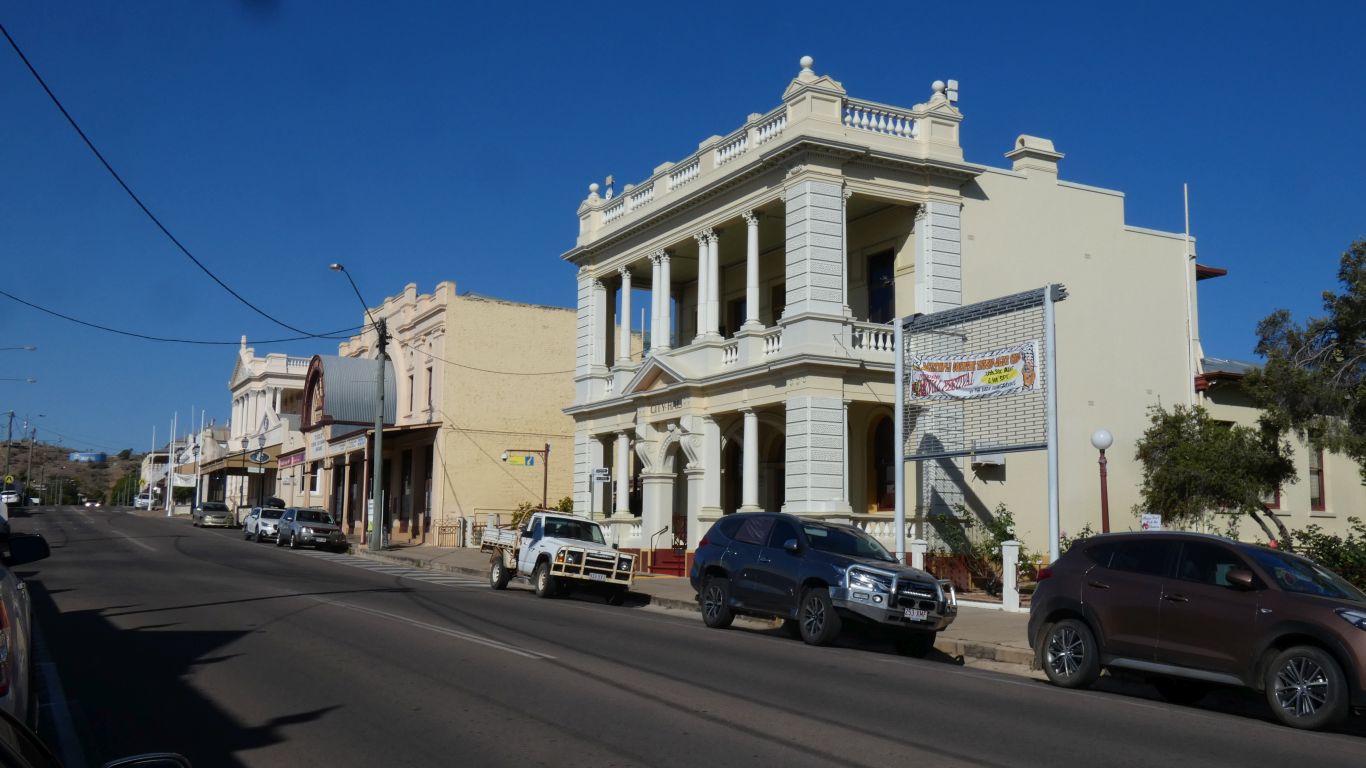
There are some very fancy, lavish even, buildings in
Charters Towers. We've stopped for supplies and fuel, and have a look
around. The buildings have been well maintained, and have been repurposed.
This is City Hall.
Most buildings date from around 1880 - 1890 when there was lots of gold
being mined. |
| | | |
 |
|
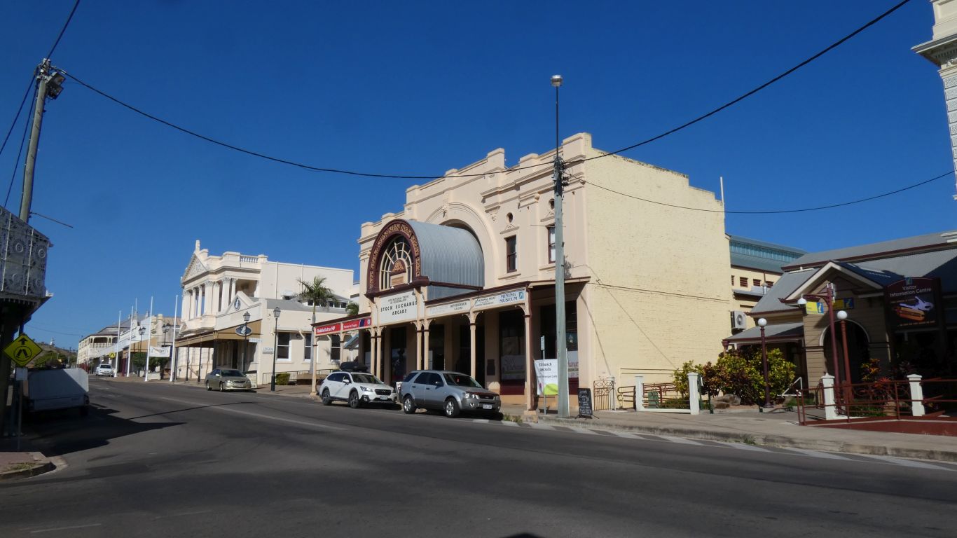
The Stock Exchange Arcade next door seems to have lost some
of its glass roof, but is nevertheless a fine building. A shopping arcade.
How civilised. Stock trading must have been an interesting affair, relying
on an overland telegraph line for communications. |
| | | |
 |
|
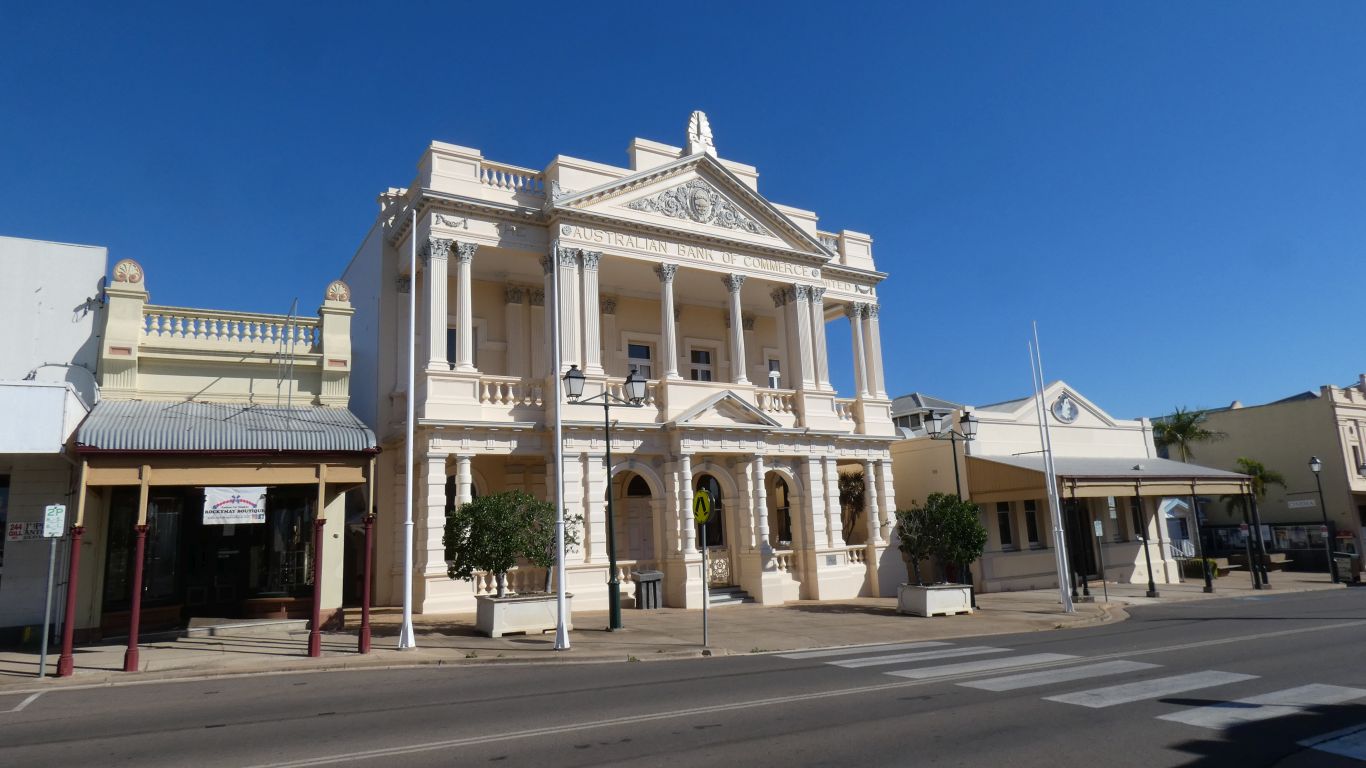
The Australian Bank of Commerce. While trying to figure
out which style of column was included we realised that some of them are
square rather than round. So we have no idea.
Of course the bank required a very solid looking building if it were to
be trusted with all the gold. |
| | | |
 |
|
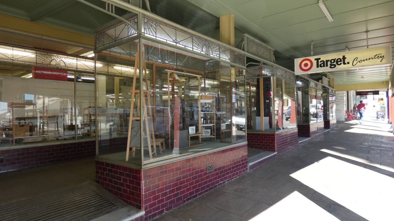
Probably later than 1880, a sort of double shop front with
lots of display space. Its many years since I saw similar, and I can't
recall where. |
| | | |
 |
|
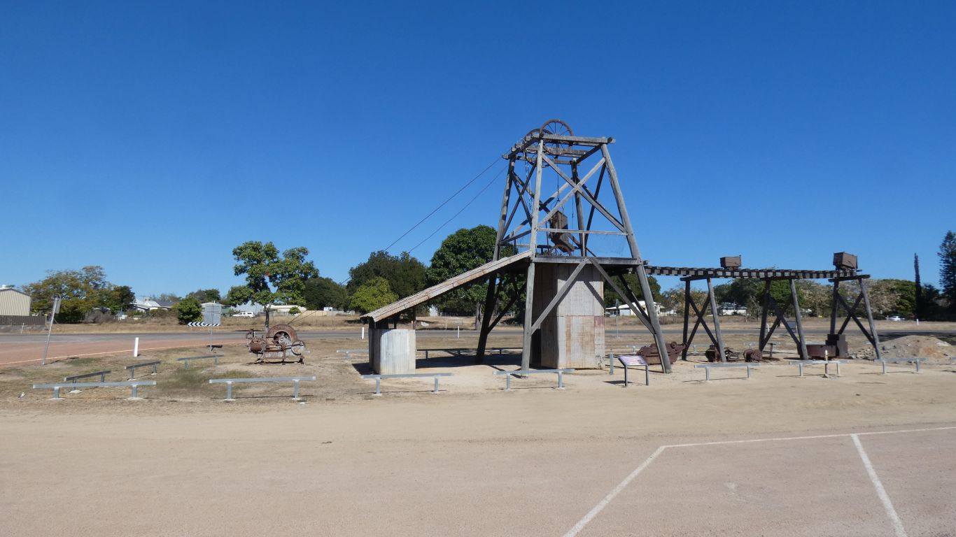
We didn't stop long. Next to the dump point are a few
leftovers from the mining boom. A mine headgear. |
| | | |
 |
|
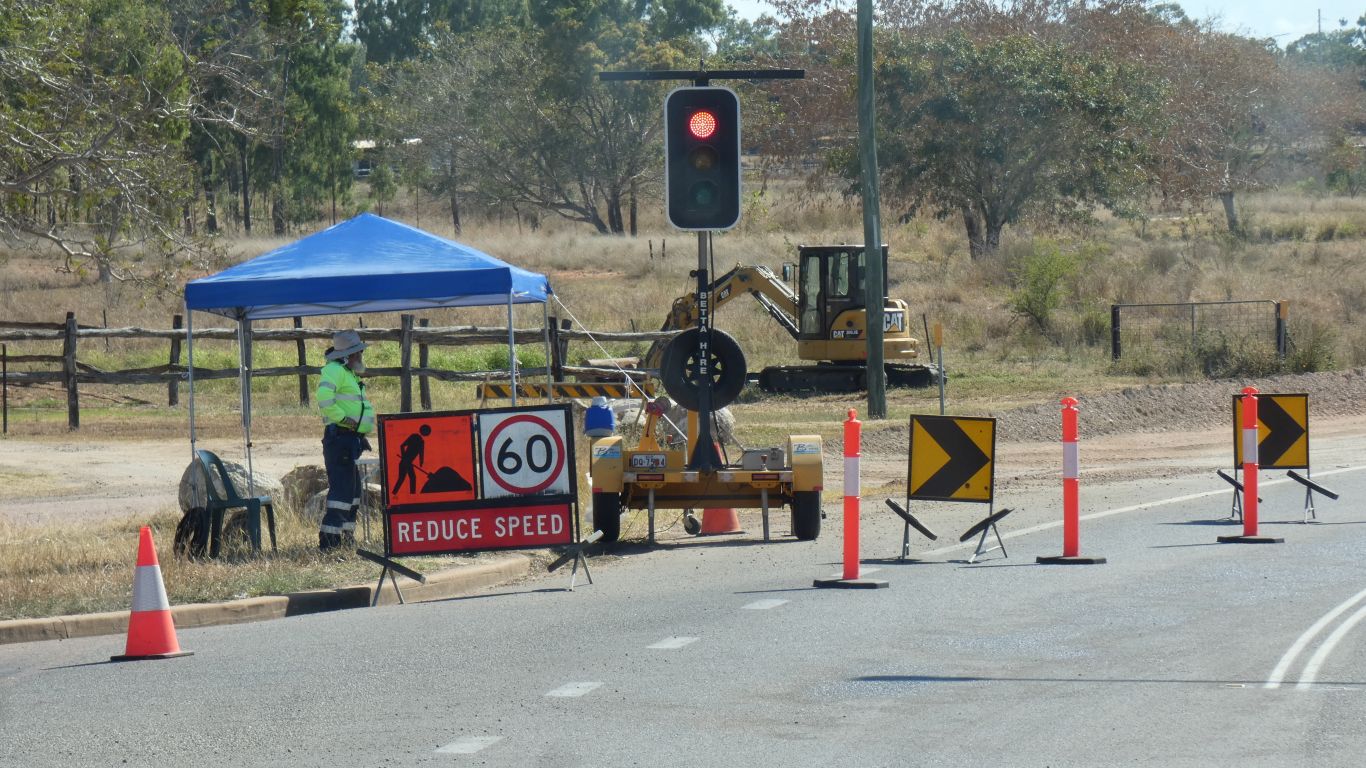
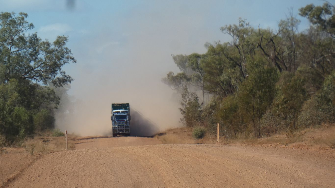
Leaving, our drive was interrupted for a short while. We
decided the gentleman in shade was the smartest traffic controller we've
seen. His offsider, a couple of hundred meters back, was in full sun, and
looked very uncomfortable. |
| | | |
 |
|
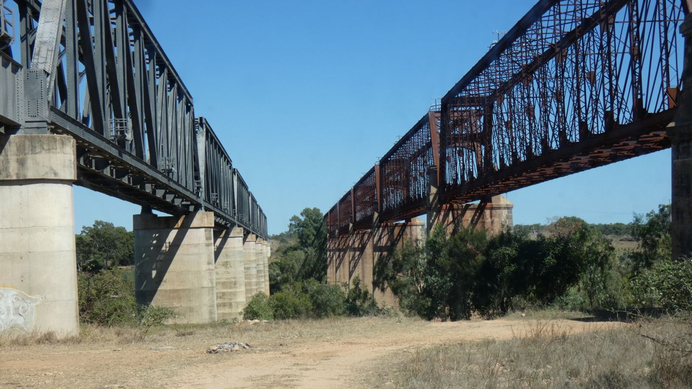
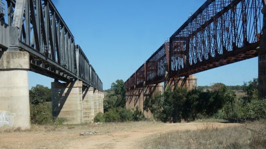
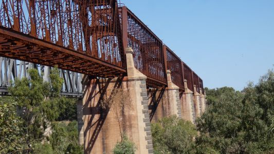
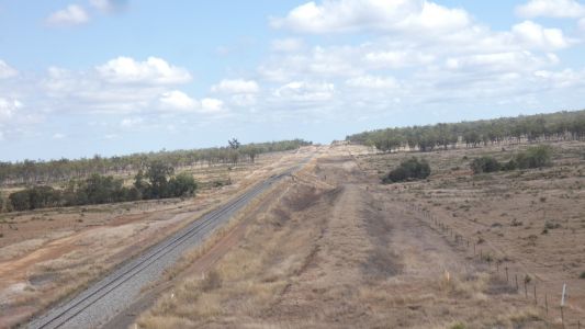
Across the Burdekin. Again. The third time. About 20km east
of Charters Towers. We are now on the east side. On the right is the old
railway bridge. About 1890. On the left is the new railway bridge. About
1965.
The line initially was from Townsville to Charters Towers. It was later
extended to Mt Isa. |
| | | |
 |
|
When diesel locos arrived and railways wanted double
headers with longer trains the old bridge proved incapable of carrying the
extra axle loads. Difficult to strengthen, a new, stronger, bridge was
built. |
| | | |
 |
|
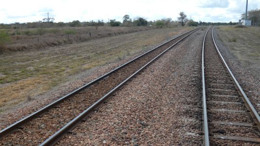
We turned south at Minglea, crossing the rail line. Double
to allow passing. |
| | | |
 |
|
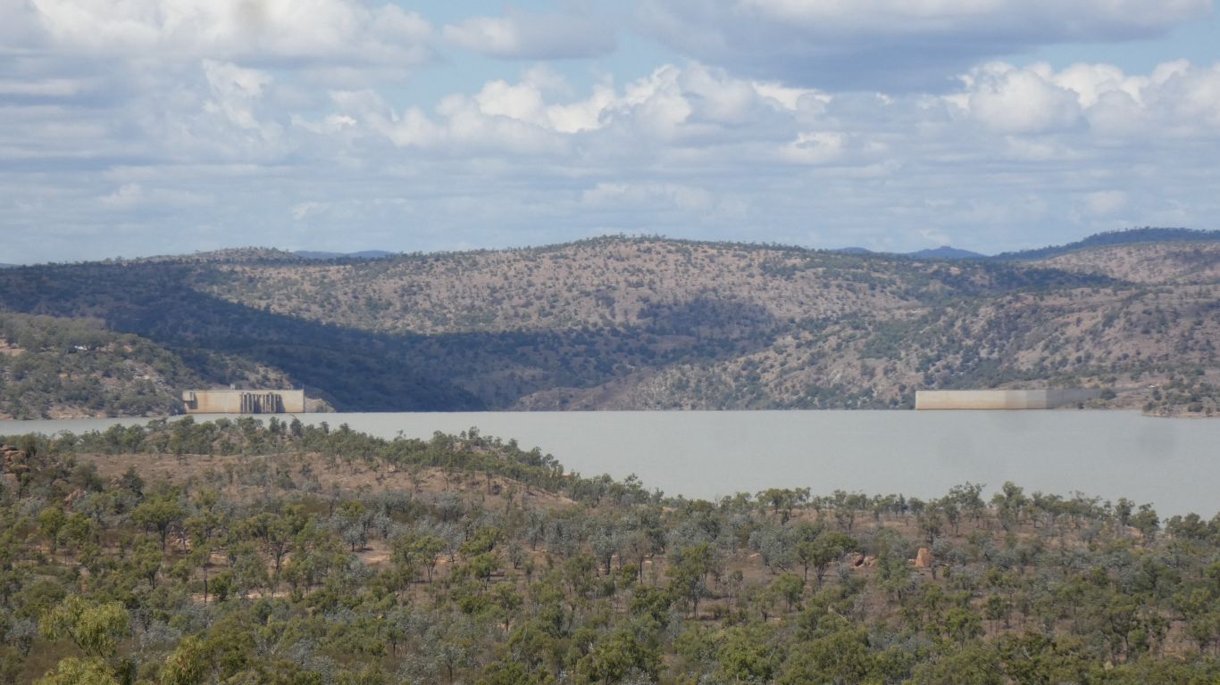
We are generally following the Burdekin River valley south,
past Dalrymple Lake. |
| | | |
 |
|
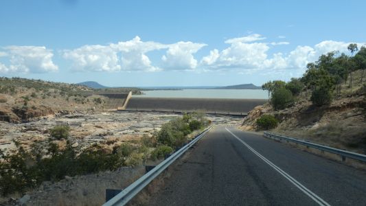
The dam wall is quite wide. On the left is perhaps a small
hydro electric plant. |
| | | |
 |
|
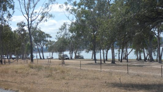
We pass the campground and follow the road to the base of
the dam wall. |
| | | |
 |
|
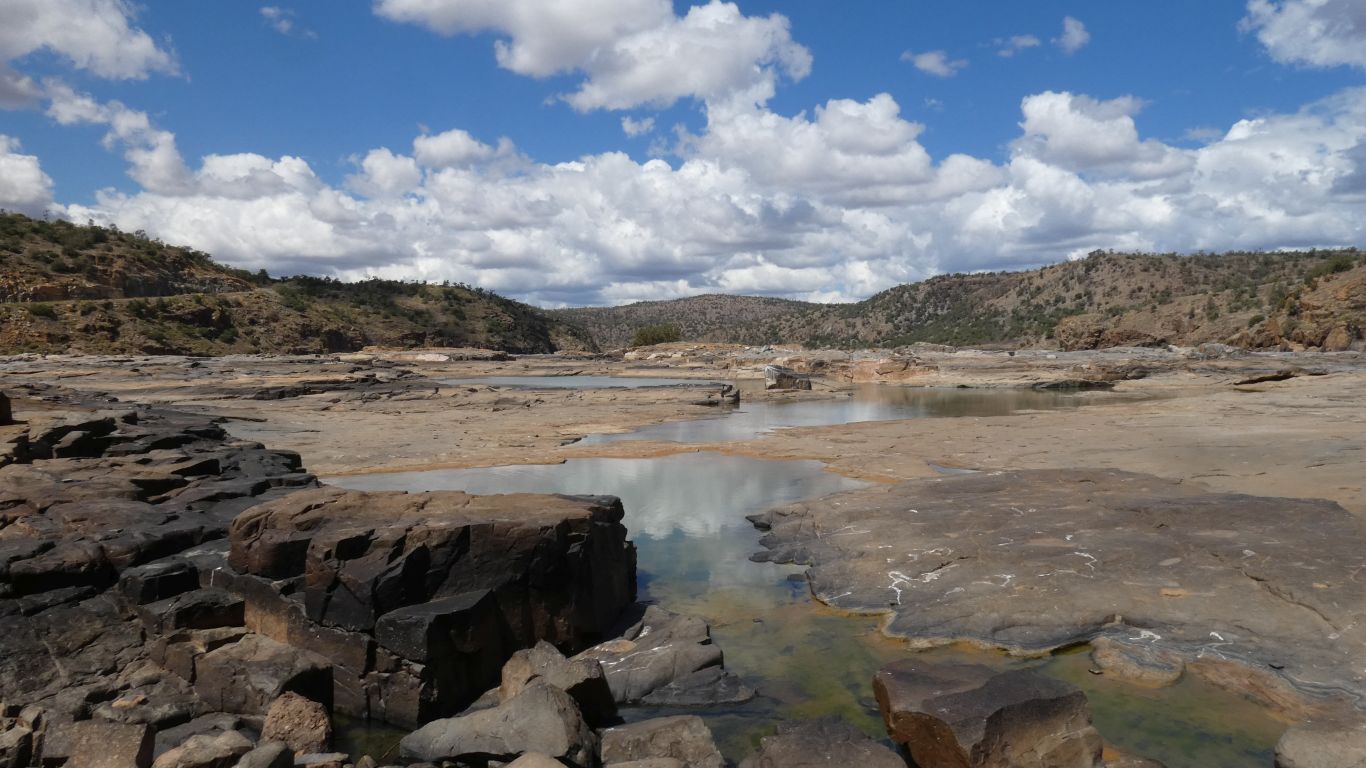
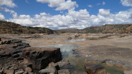
Then across the bottom of the wall, looking downstream at
the original river course. The dam is almost full, the surrounding areas
are dry.
There's some remnants of the Burdekin River Falls. Its called the
Burdekin River Falls Dam.
Not quite as worthy of a long bush bash walk as the Herbert River Falls. |
| | | |
 |
|
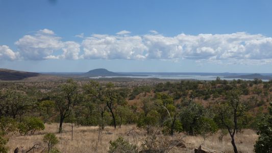
Up the hill on the other side of the river. We head
south, the river turns east, then north and finally a little east to reach
the sea at Ayre. About 125km for crows.
That was the fourth, and last, time we cross the Burdekin. |
| | | |
 |
|
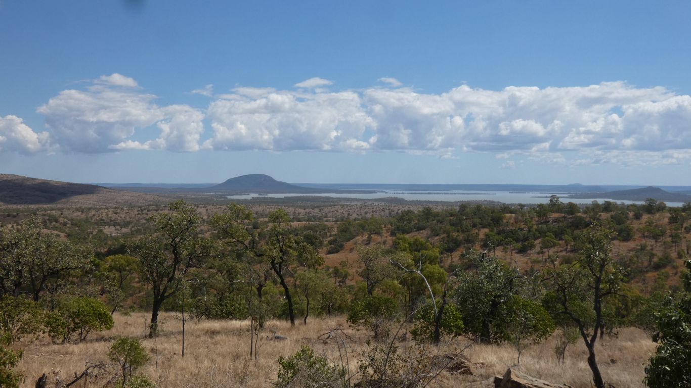
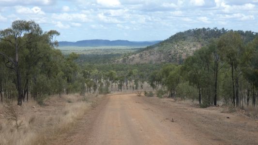
The rivers and creeks in front of us flow northwards,
towards the lake. We will travel across increasingly flat land until we
turn eastwards towards the coastal mountains. |
| | | |
 |
|
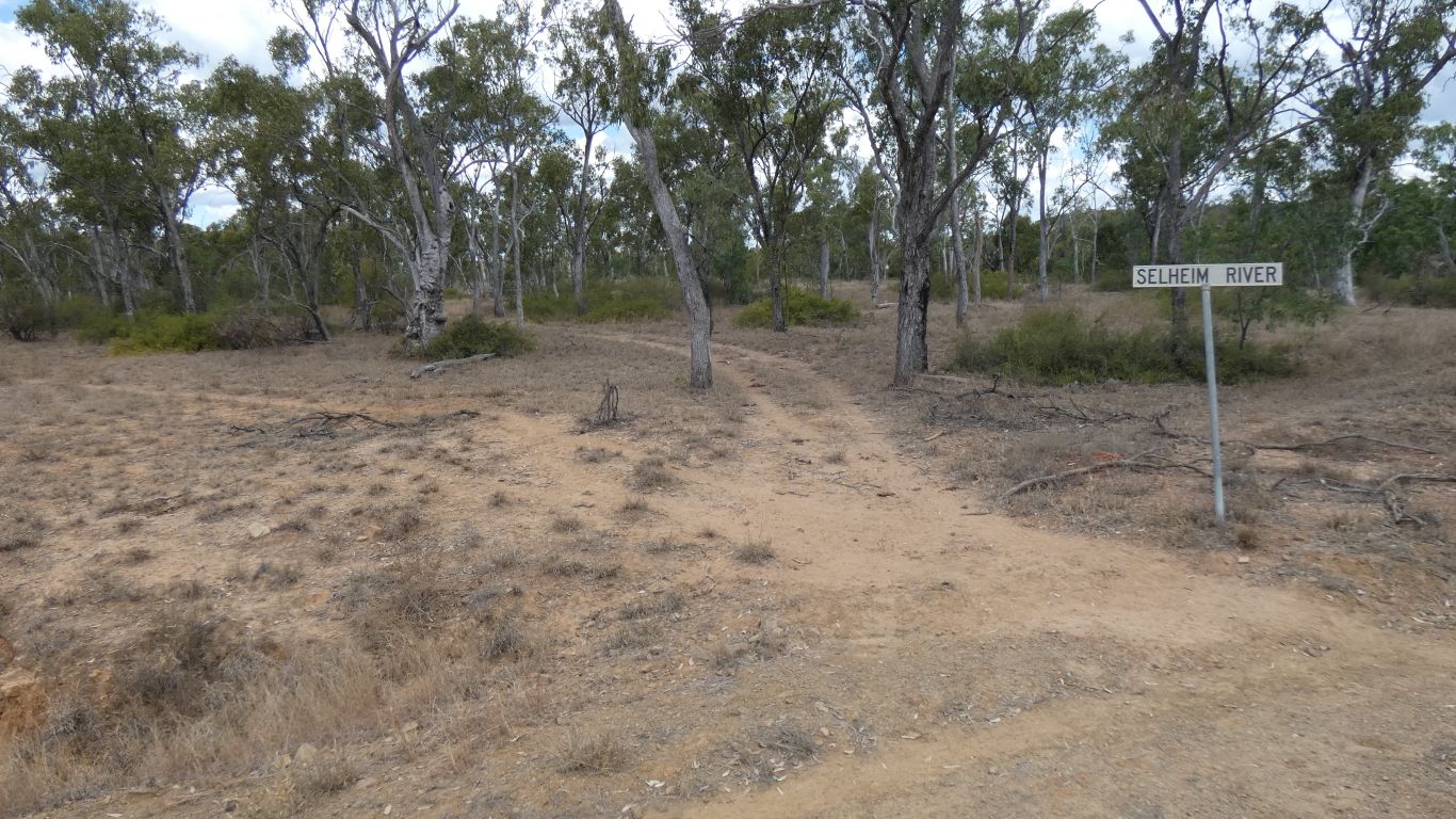
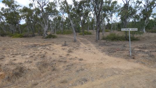
About 40km south of the dam we stop for the night, a
convenient track that goes a few hundred metres to an old ford. While
looking for a campsite we forgot to take pics of the Percy Douglas Range. A
few interesting looking eroded hills.
The Selheim River is dry, when flowing it would flow northwards to the
Burdekin. |
| | | |
 |
|
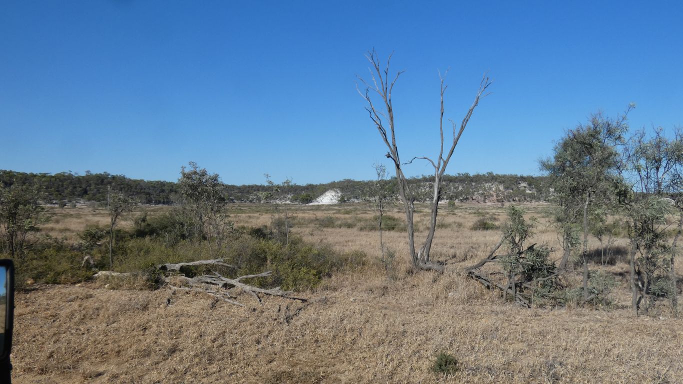
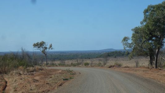
A few interesting looking hills and escarpments along the
way. This was visible in the satellite view. Large swathes of land have
been cleared of trees, some heavily grazed, all very dry. |
| | | |
 |
|
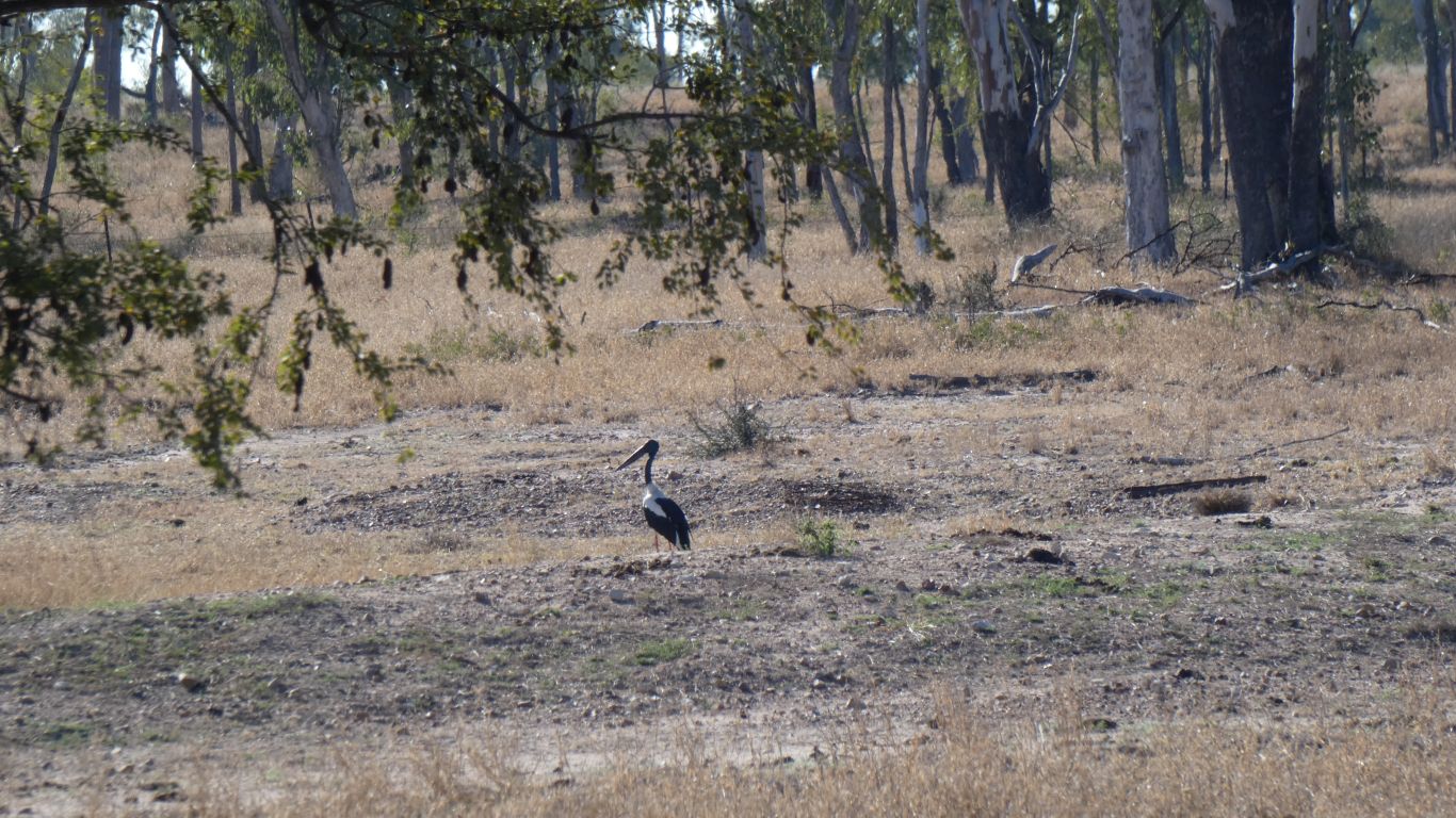
This wasn't. Just a chance encounter with a Jabiru. It had
just landed, perhaps took a little while to collect its thoughts before it
realised there was no water and we were watching. |
| | | |
 |
|
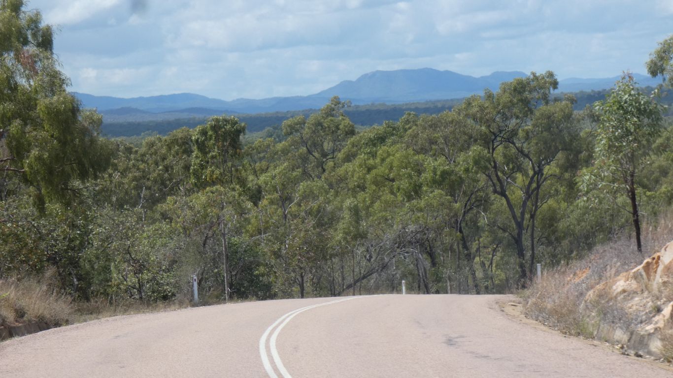
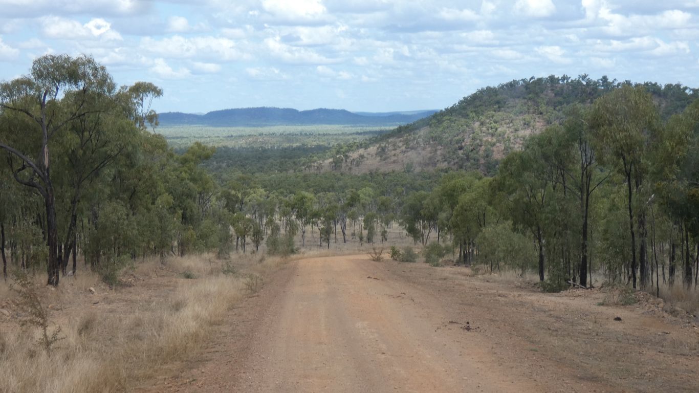
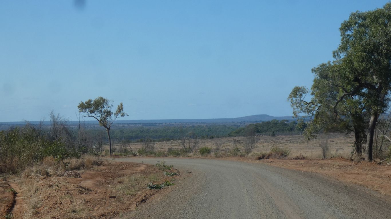
Onward and southward. The road progressively improving.
We've passed a grader gang. |
| | | |
 |
|
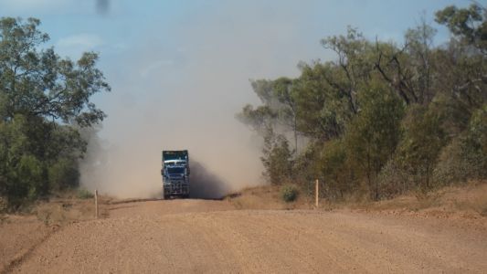
We pause for a moment ...... just in case. The road
train, full of cattle, going we know not where, also slowed. |
| | | |
 |
|
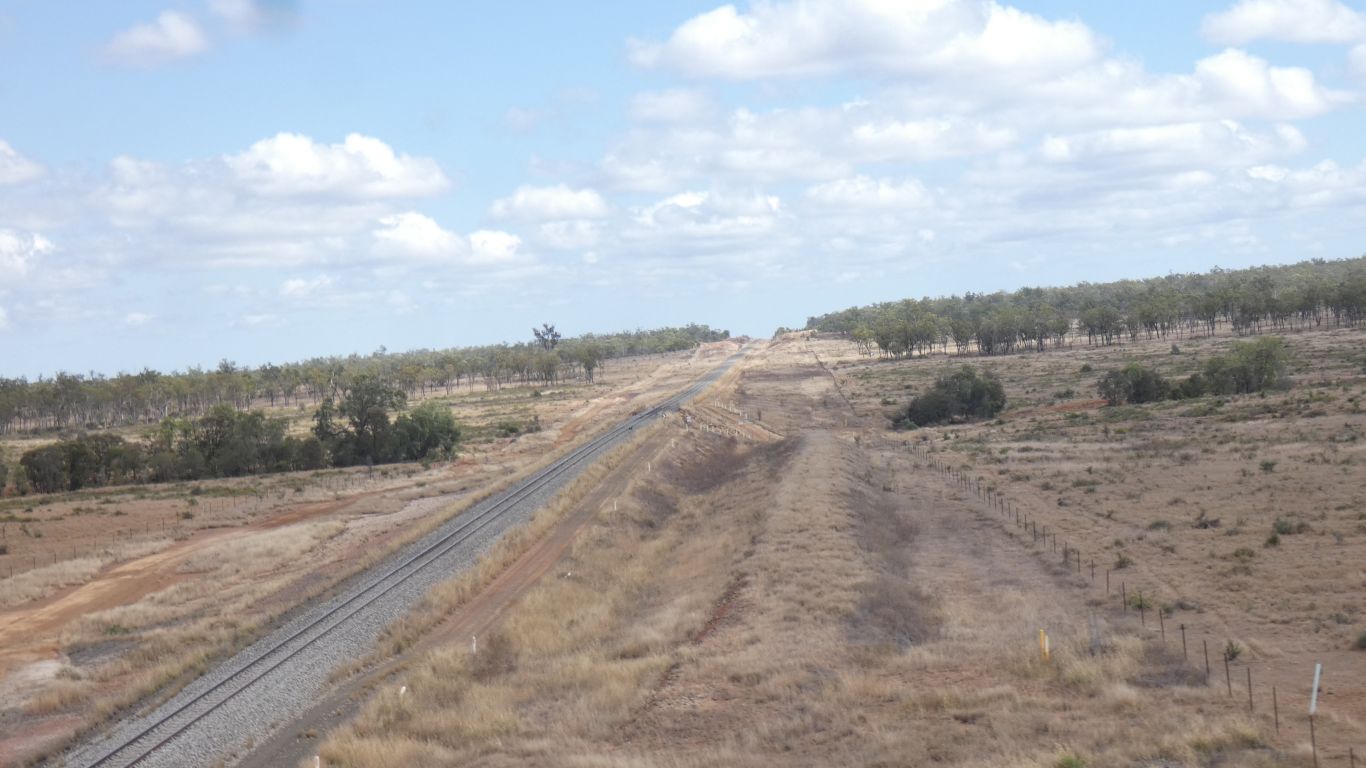
We know the Goonyella Coal Mine is a bit south of us. We
know there's a Goonyella branch line that runs to the Hay Point coal loader.
But this rail line isn't marked on our maps. Perhaps its for Burton Coal
Mine. |
| | | |
 |
|
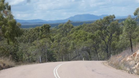
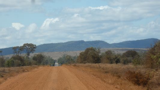
We are headed roughly east, towards the coastal mountains. |
| | | |
 |
|
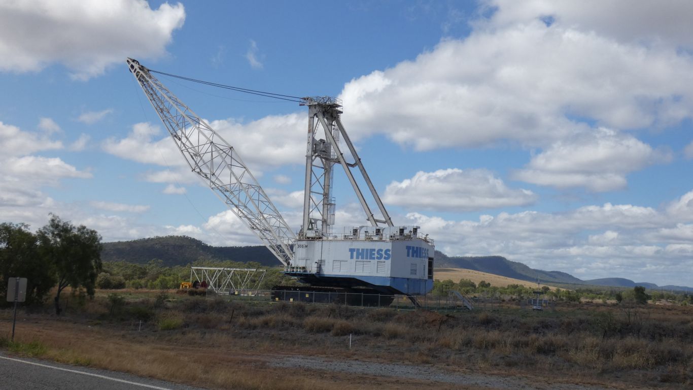
a bit big to move. As far as we can tell the Burton Mine is
still operating. Just don't need this particular walking dragline. There's
a few bits and pieces lying around, but no bucket.
Burton Mine is dwarfed by the Goonyella Mine. |
| | | |
 |
|
We pass Lake Elphinstone. Think about camping, but decide
to add a few more km. |
| | | |
 |
|
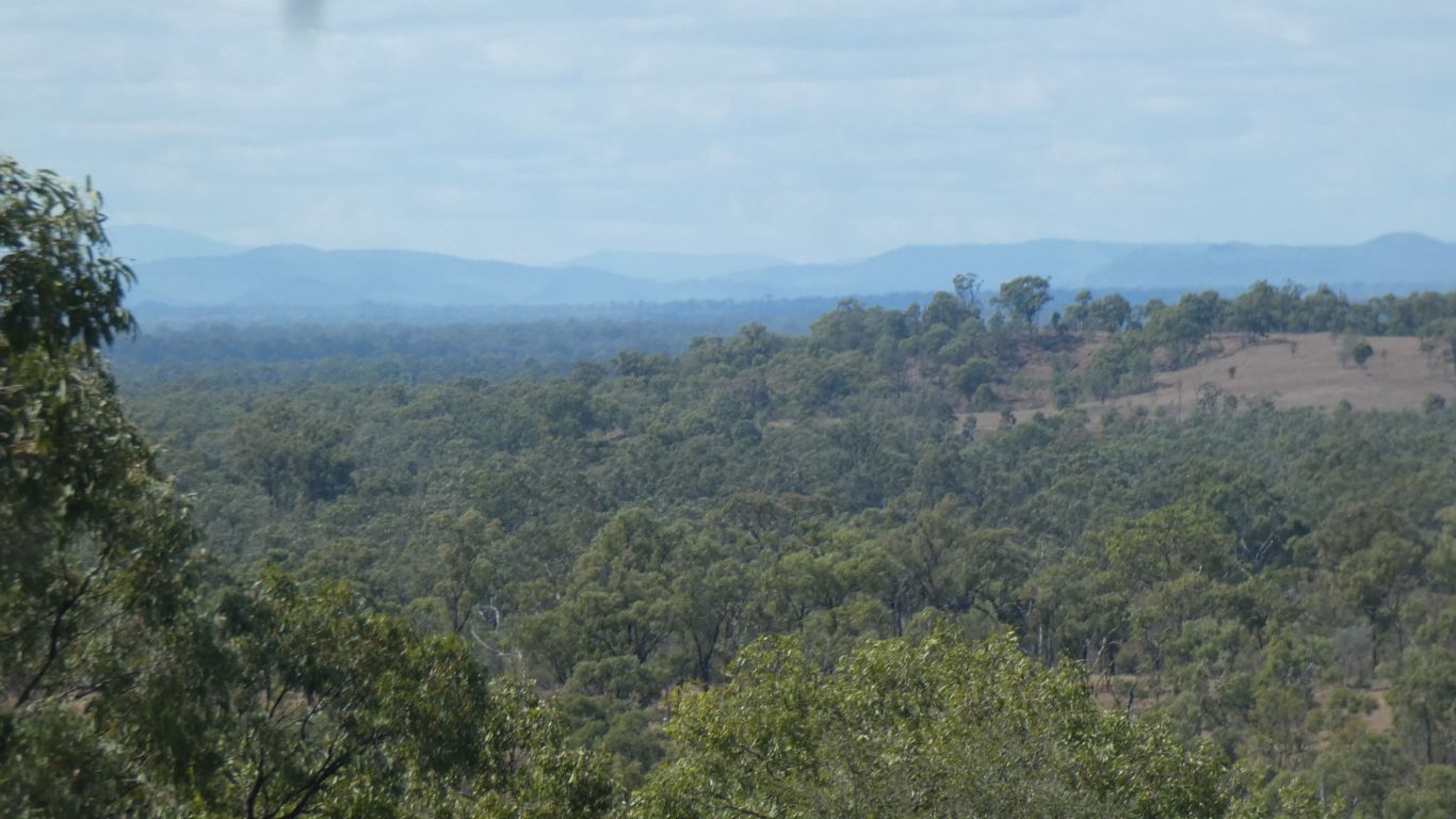
We've been on the Suttor Developmental Road. Sealed once we
passed the Burton Mine. The landscape has changed as we move through
foothills.
The Suttor River is just a little to our south, running west until it
turns north and flows to Dalrymple Lake and the Burdekin.
This is about the southern extremity of the Burdekin catchment. The Great
Dividing Range has a curve in it as it aligns south east. The Bowen Basin,
where the coal is, is in, and on the western side of, the dividing range. |
| | | |
 |
|
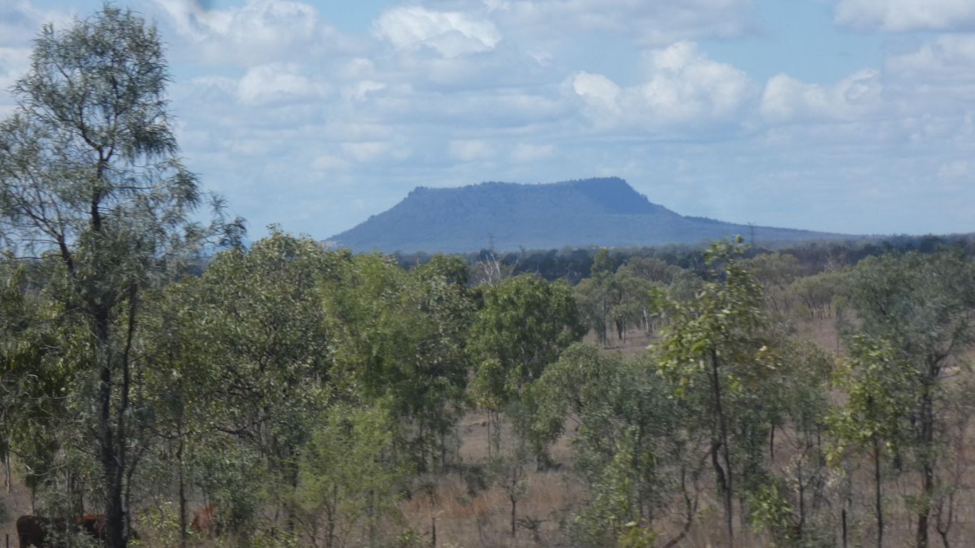
Mt Fort Cooper. From the map its round. There's a station
nearby named .... Fort Cooper. |
| | | |
 |
|
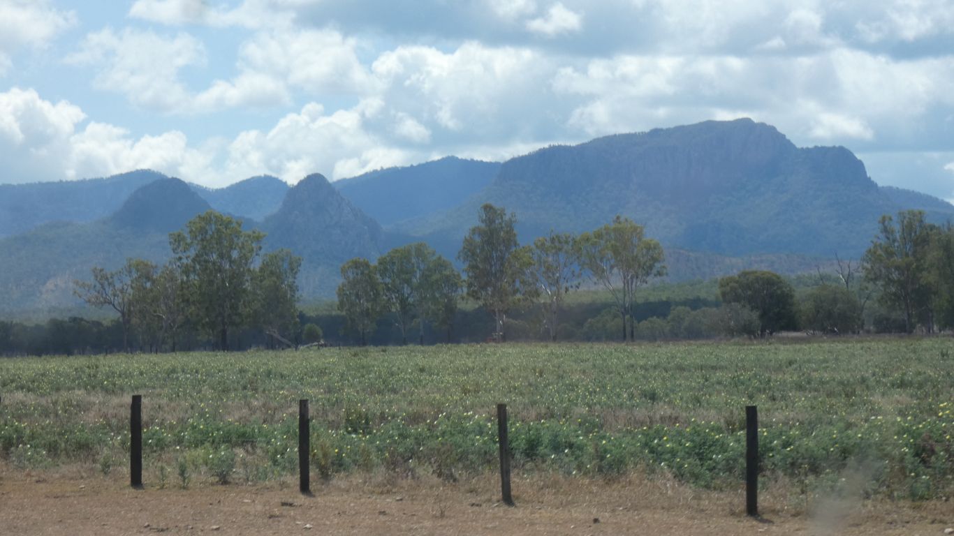
We turn north on Turawilla Road. It follows the east side
of Oaky Creek. Black soil, but not much rain. Judging by the array of
heavy equipment there must be good crops sometimes. |
| | | |
 |
|
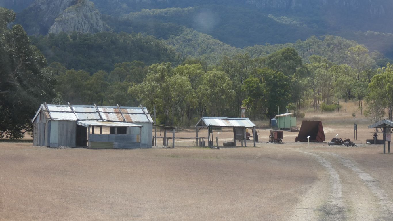
Further up Oaky Creek is Mt Britton township site. An
1880's gold mining site. Initially gold panned out of Oaky Creek, but later
mine shafts and rock crushing. There's the Edith Mary mine still operating,
and offering underground tours.
The township area has one building, a loo, and lots of signs with
paintings and writings and photos. Quite fascinating.
|
| | | |
 |
|
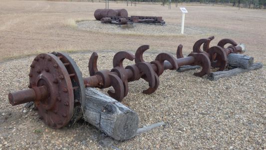
We are initially not sure whether to stay one or two nights.
We've looked at the mining equipment displayed, this is the cam from a 10
head stamp (crusher). |
| | | |
 |
|
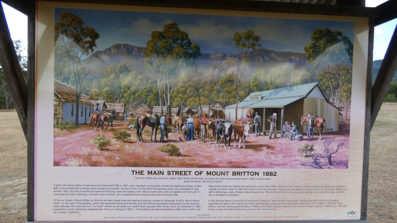
Read the signs, this is one of several pictures, there are
lots of smaller signs with photos. There are some nice stories. |
| | | |
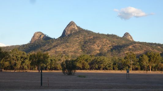 |
|
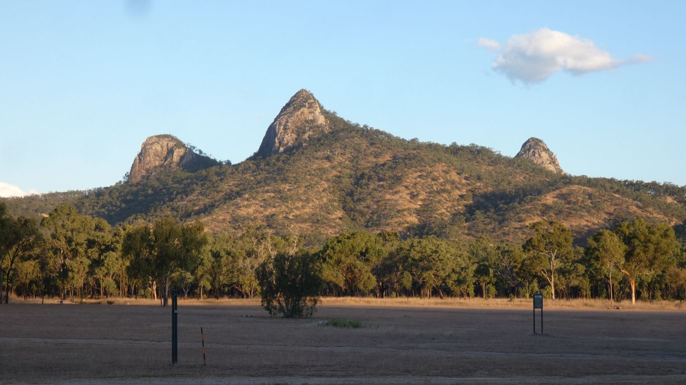
And from our campsite admired the Marling Spikes -
apparently someone with a nautical background explored the area. Further
up the creek, along a vehicle track, about 2km, is Mt Britton Mine marked on
the map. The town, plus a few claims (with various buildings), and the mine
area are in the middle of, but not part of, the Holmvale National Park. |
| | | |
| Brisbane - South Australia |
|
December 18 2019 - January 1 2020 |
| | | |