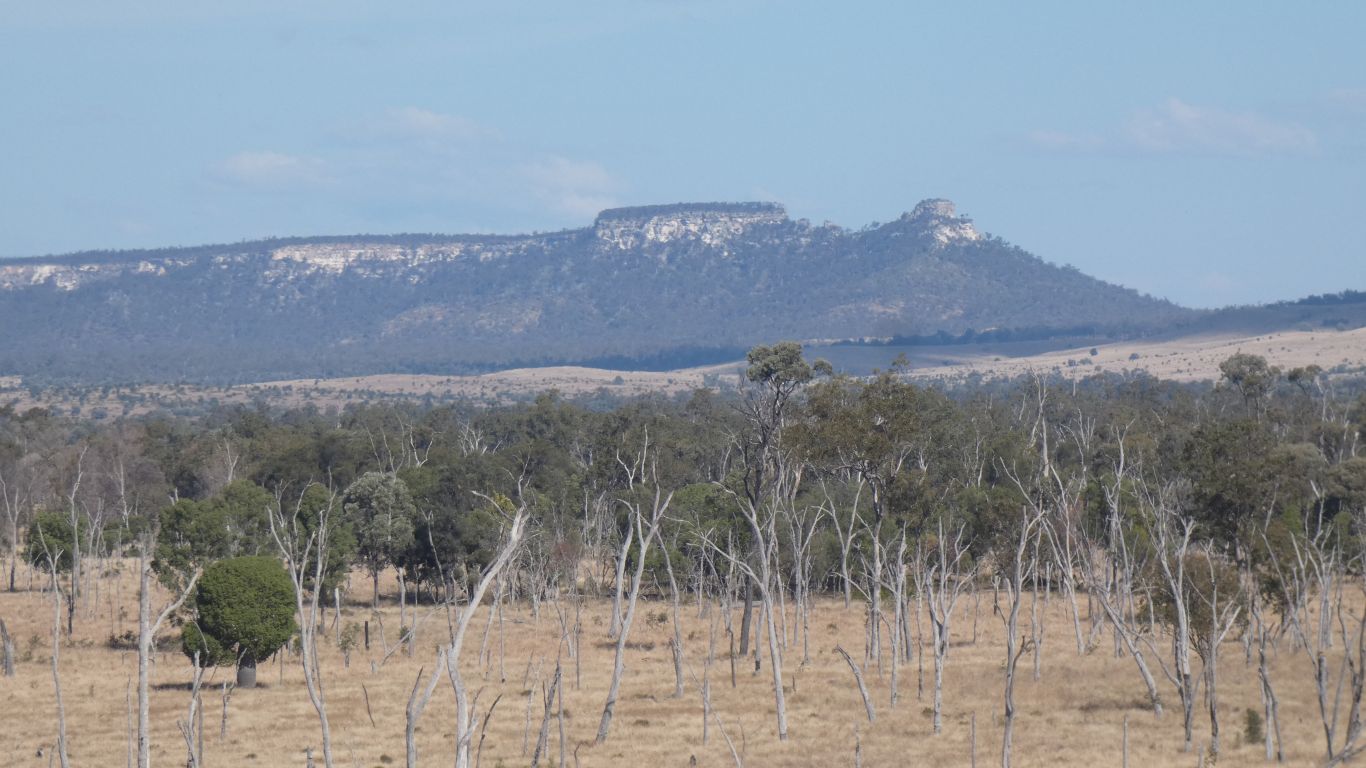
Did I mention Expedition National Park named after .....
A bit of light reading here https://adb.anu.edu.au/entity/8843
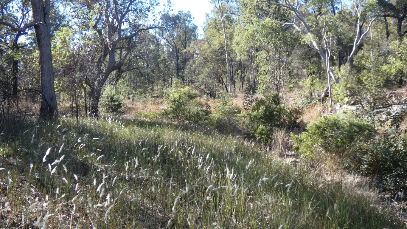
I ventured a km or so up Starkvale Creek. And returned. Easy going, not as dense as it looks.
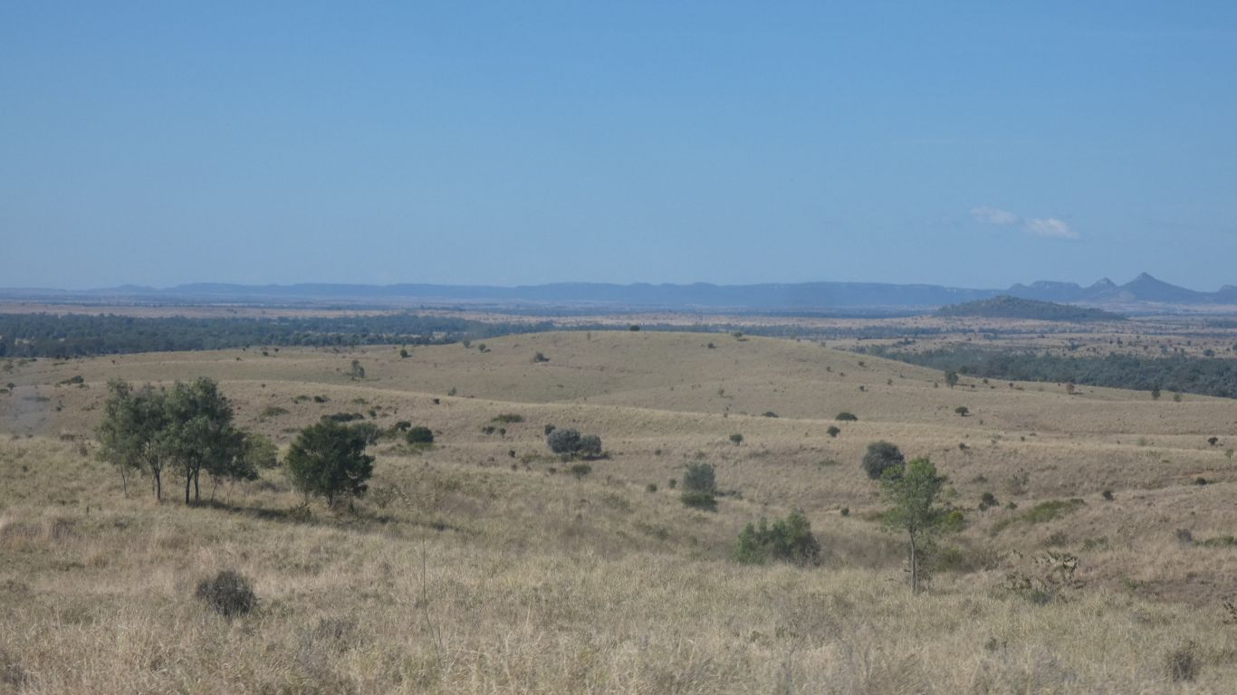
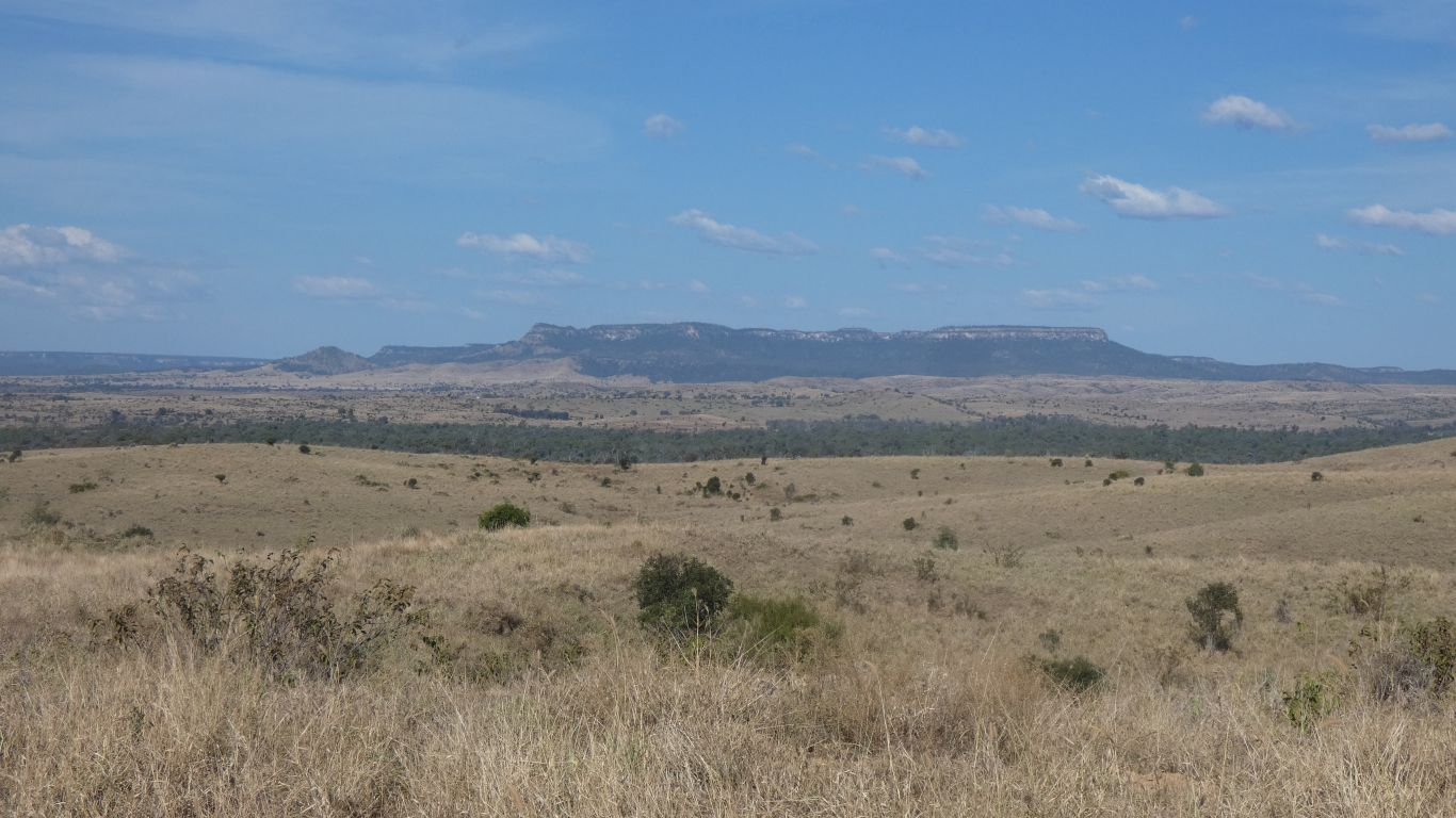
A brief detour to Spotted Gum, in the north of the park.
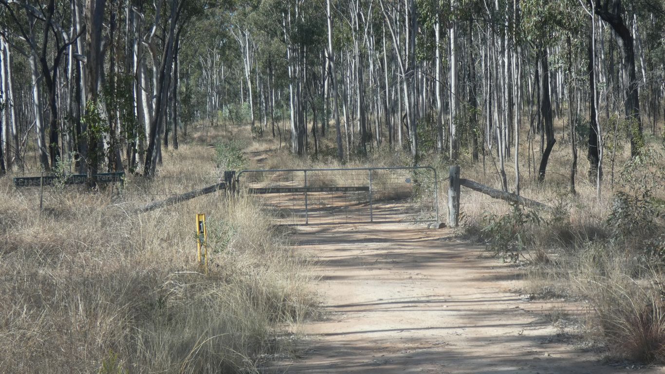
We are invited to close the gate to keep cattle out of the park. Which we take as an invitation to enter.
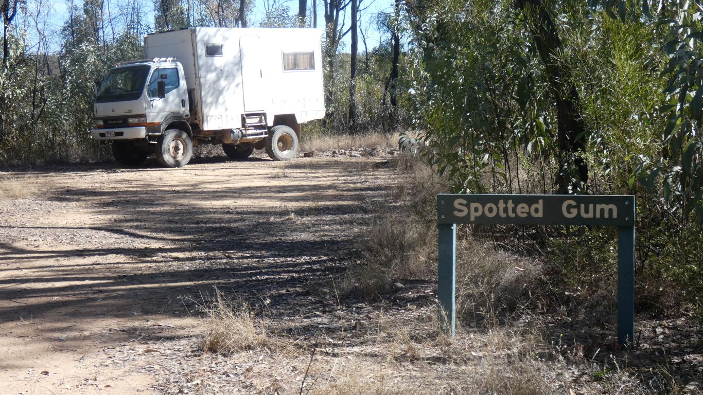
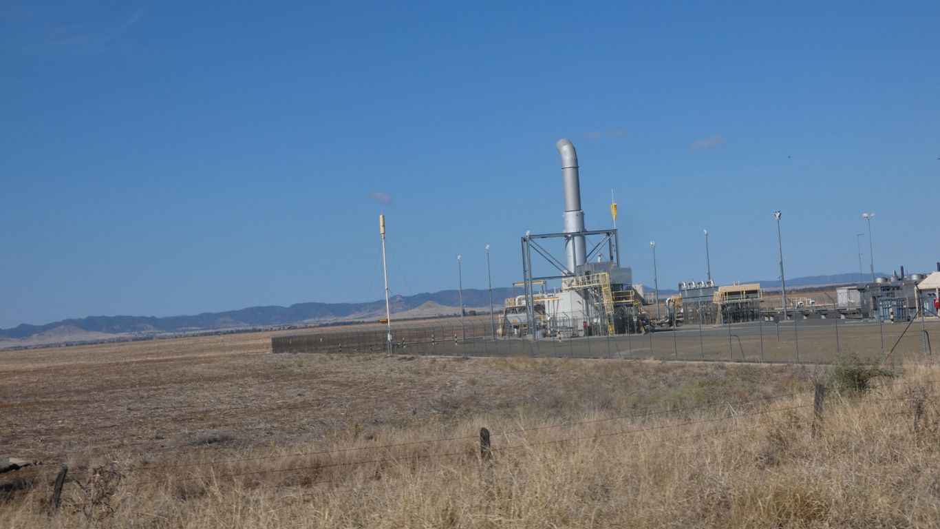
There's an abandoned gas well with a rusty sign. Less than 10m to the right of the spotted gum sign.
"Marathon Continental spudded Nov 17 1953"
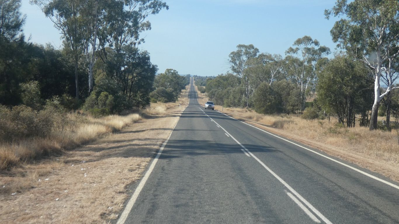
So we followed Glenhaughton Road then Fairfield Road north. All the way to the Dawson Highway.
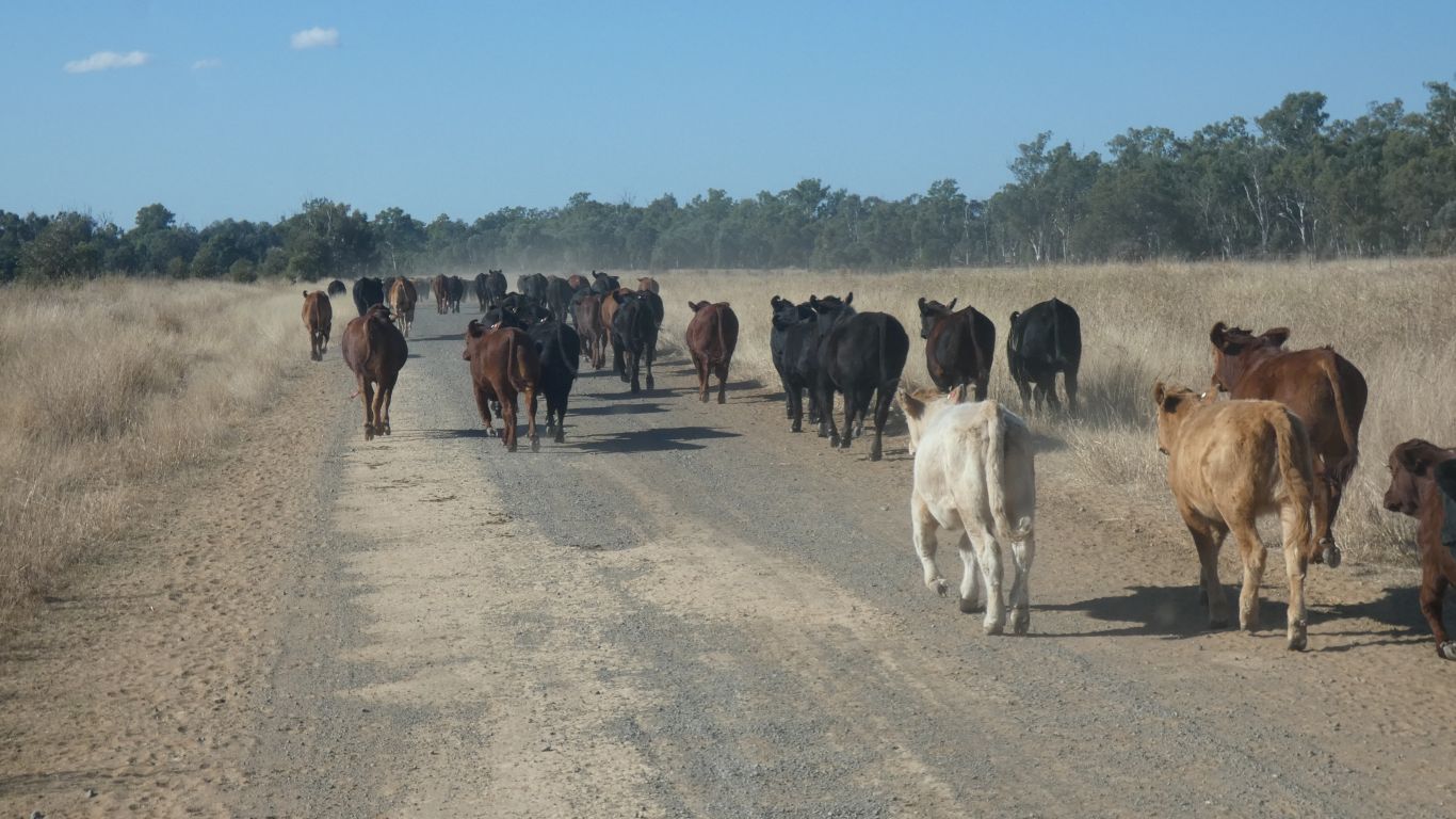
We followed slowly, at their pace, for a couple of km, to the next cattle grid.
There were no humans involved, the grid worked, the cattle moved to one side, and we proceeded.
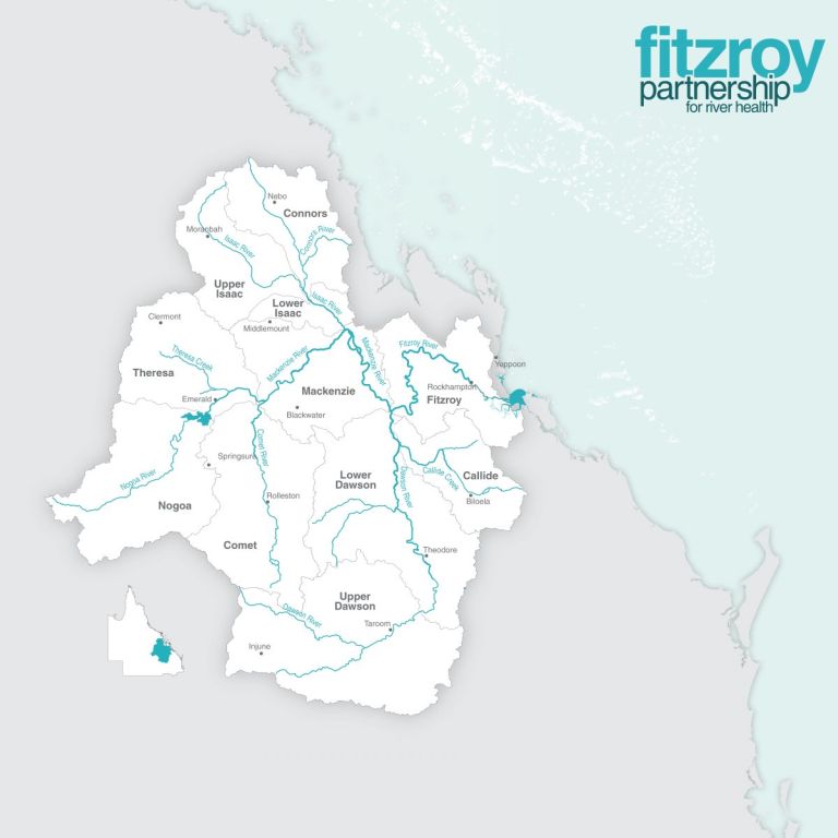
The Dawson and the Mackenzie Rivers combine to form the Fitzroy River, which flows to the sea south of Yeppoon.
A grotty, filthy, truck stop that hasn't been cleaned up for a long while. We pulled on to some grass, out of the way of headlights and noise, and closed our eyes.
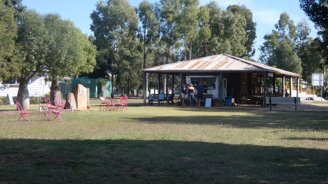
A quick visit to Rolleston, to empty the loo and fill the water. The caravans weren't lined up for the dump point and water point, they were there for coffee in the park. We managed to get close enough to the nicely labeled potable water tap. We'll probably get fuel next at Injune.
The building is the Purbrook Hut, wooden, now a museum. Purbrook is a station along the Arcadia Valley Road.
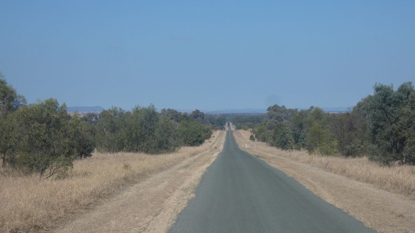
A pic to remind ourselves of why we prefer to be off the beaten track and "closer to nature".
An unusual warning at the turnoff, there are special rules about commercial vehicles using the road in rain.
A clue that we should be careful.
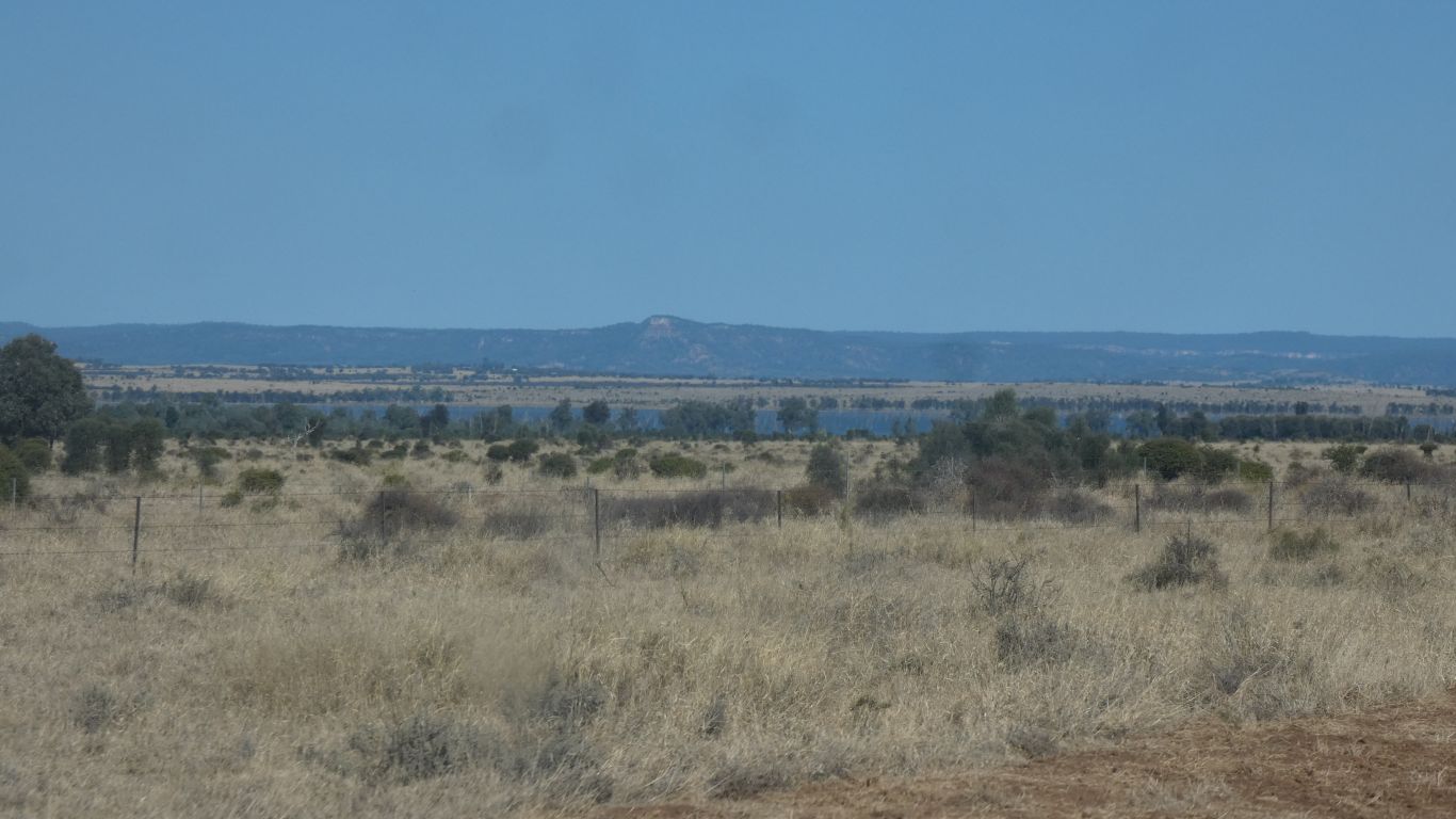
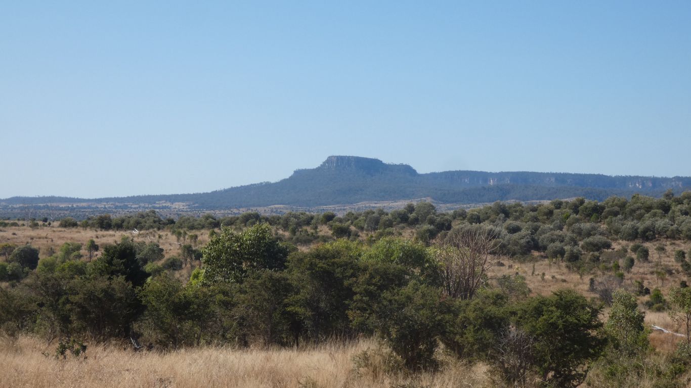
We are nearing Lake Nuga Nuga National Park.