They are on different branches of the Maranoa West Branch!
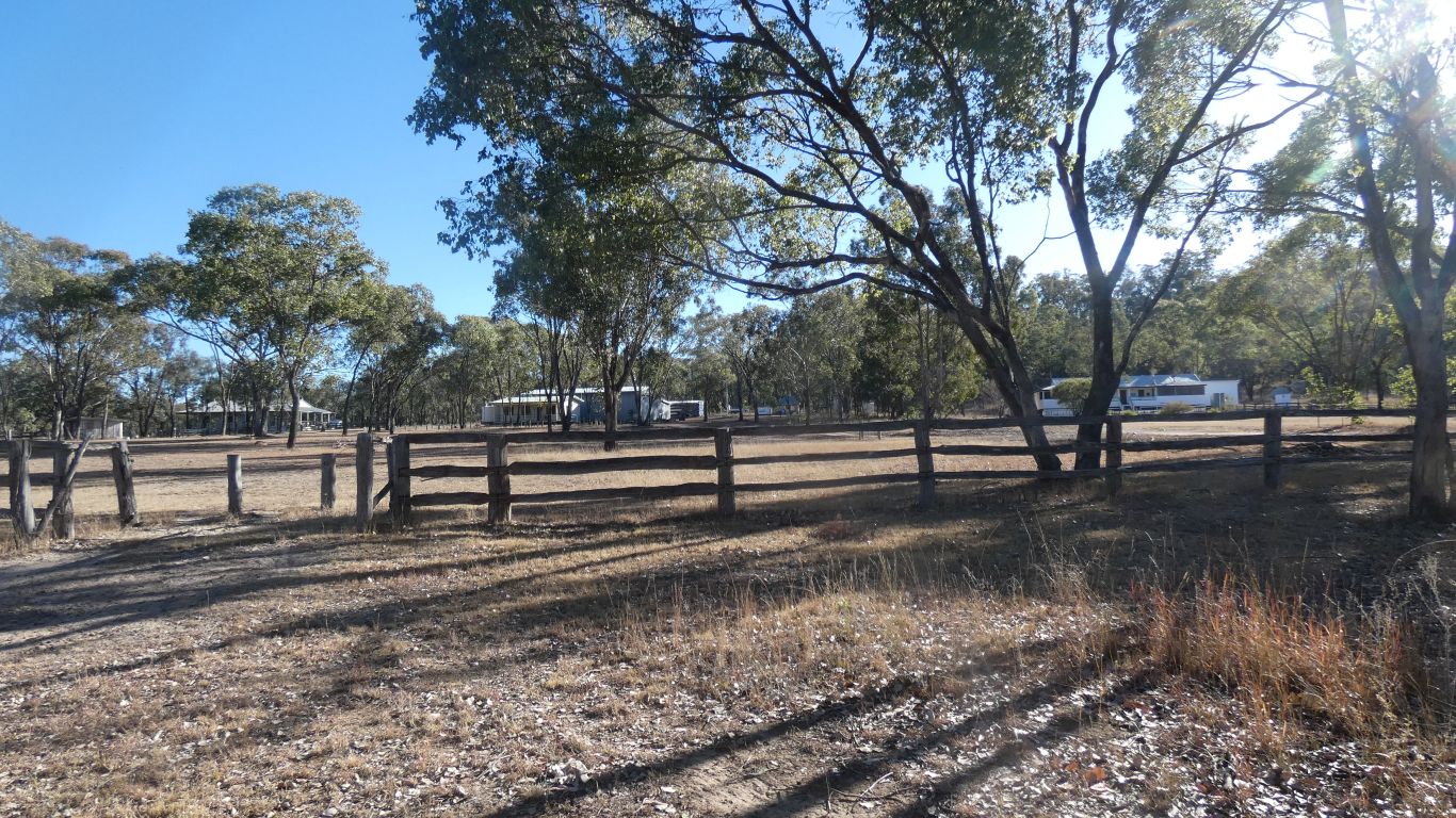
Mt Moffatt station looks like it was a large establishment when still a cattle station. Buildings are now park ranger station.
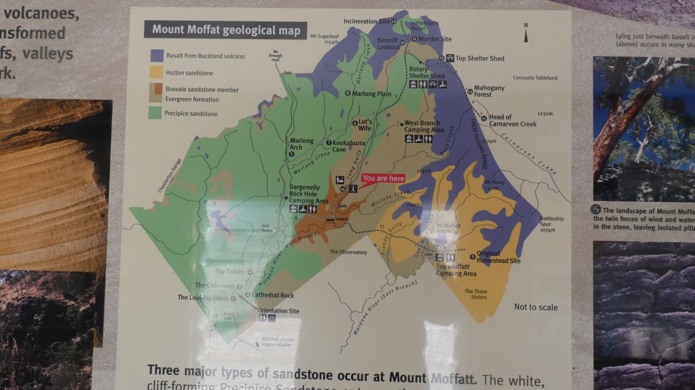
I have to imagine the basalt extending east, and the underlying sandstones in Carnarvon Gorge. With the Clematis Range (of Clematis formation) across the mouth of the gorge.
The good news is that the various layers are in the sequence I'd read of at the gorge.
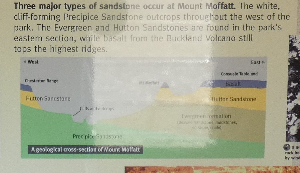
The volcano erupted (if that's the right term for a shield volcano) twice. About 30 and 27 million years ago.
Most of the lava flowed east.
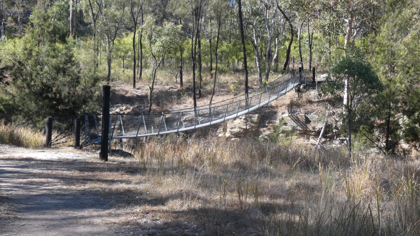
On the other side of the swing bridge we get to walk either clockwise or anti-clockwise. Though we will return to this camp after a few km along each bit of track - to the accompaniment of lots of "when we were young ....".
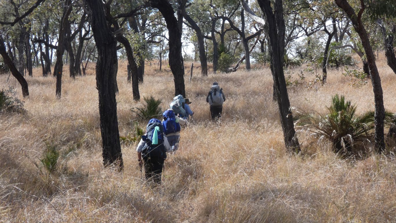
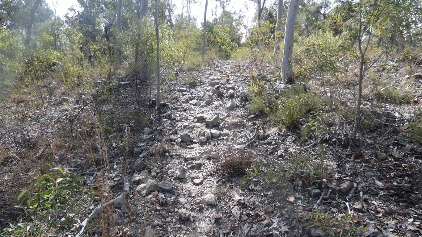
We have to brush them aside as we follow the well trodden track.
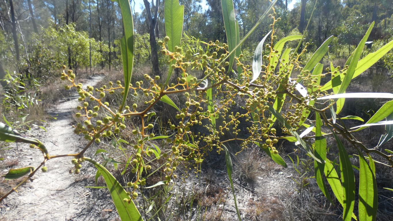
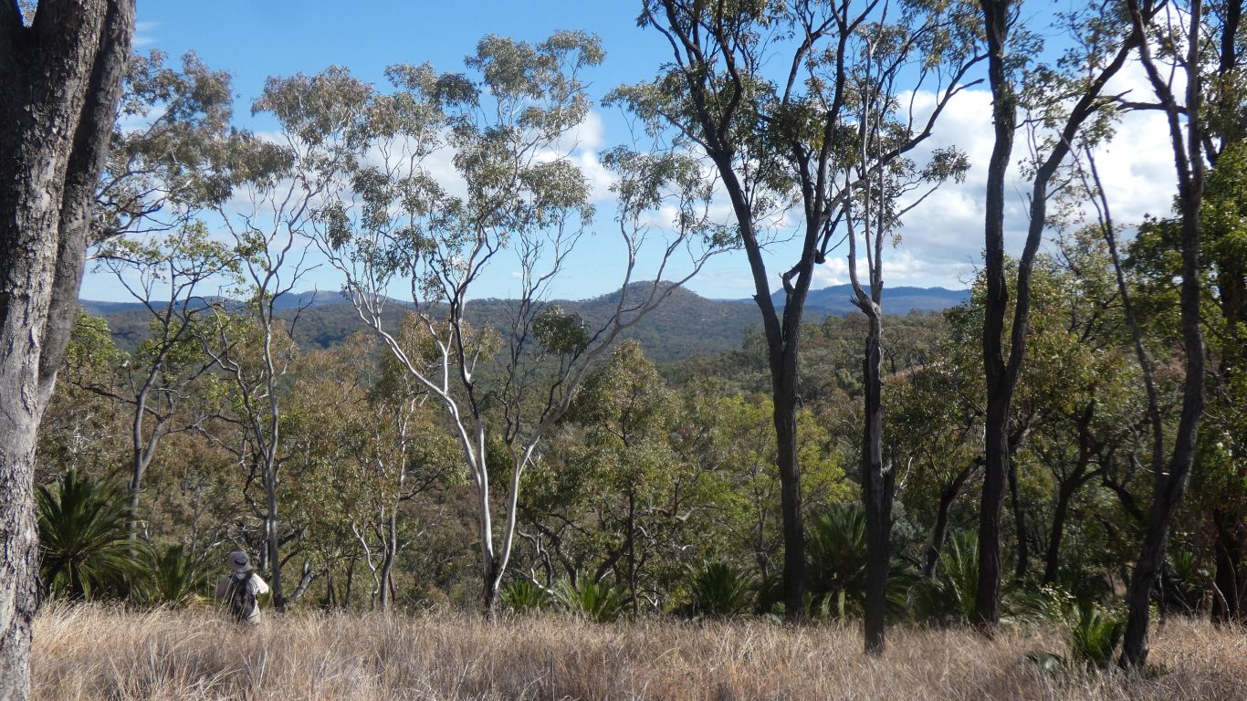
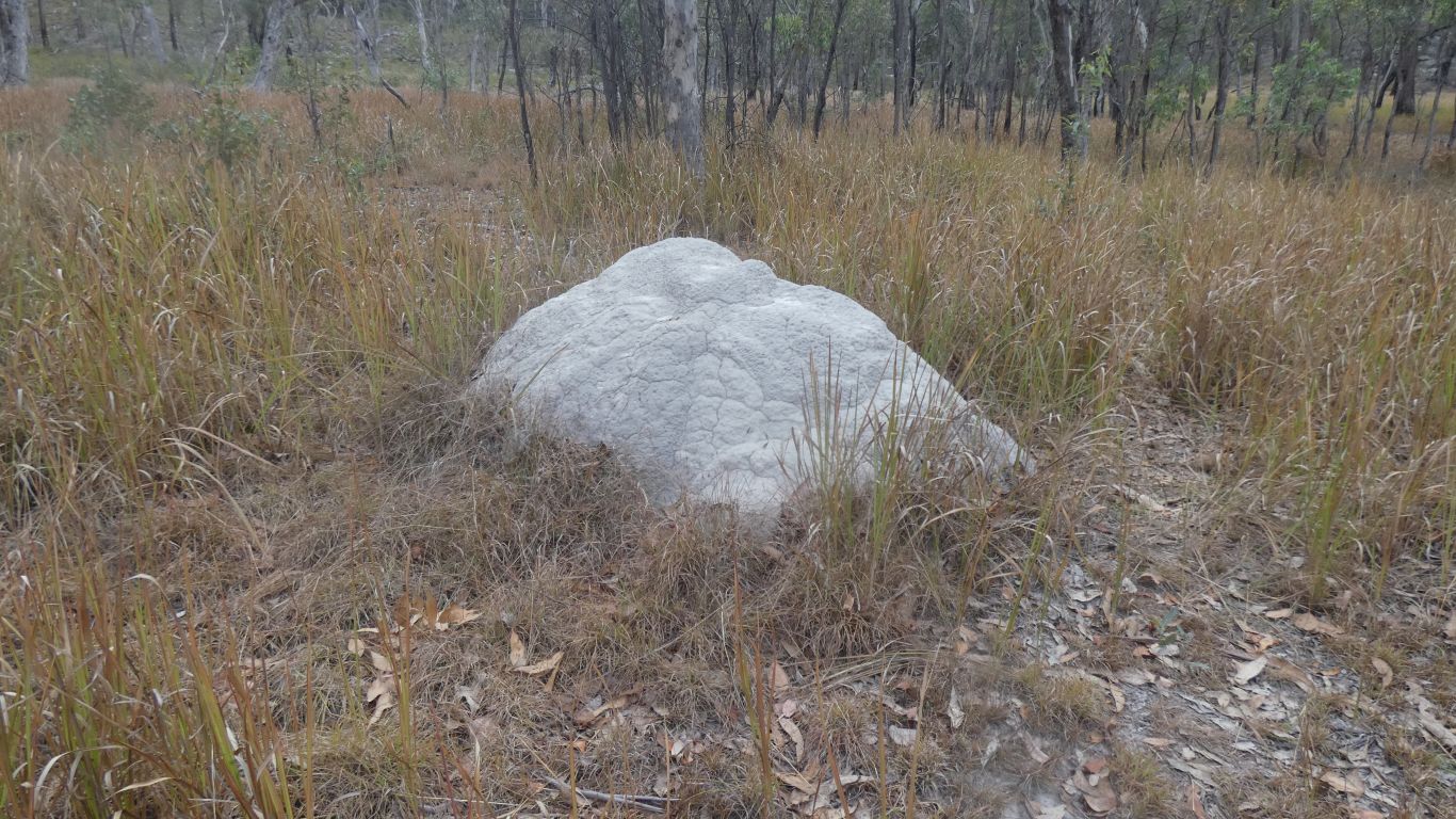
But that's what it is for me. Relatively flat walking, an easy track, open forest, and hills visible through the trees. Not too hot, not too cold. No flies. Just the two of us. Stopping occasionally to admire the trees, we think the area has never been logged or cleared. Picking apart one of those white sticky balls attached to grass stems, that look like seed pods inside - how odd.
We turn back before we reach the edge of the basalt.
Hard to see through the trees!
But still pleasant ....... if everything was spectacular, or wow, we'd probably get bored with repetitive hyperbole.
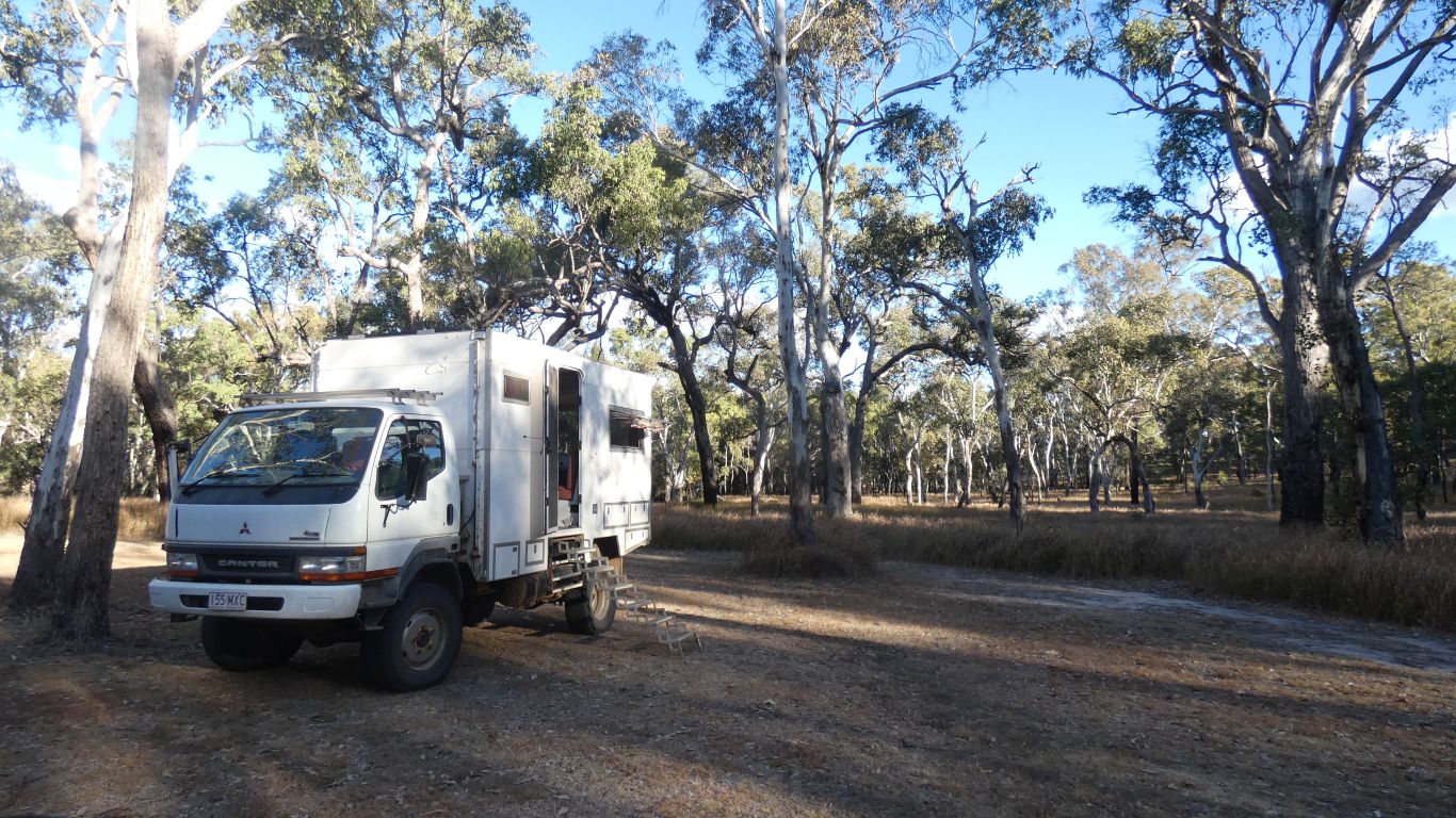
At Dargonelly we had the company of two parties of 5, plus assorted others. Here there are just two other vehicles. For some reason Dargonelly is "recommended for caravans".
Towards Consuela Camp. Not to reach it, again, as its about 18km. Just as far as we feel like, then return.
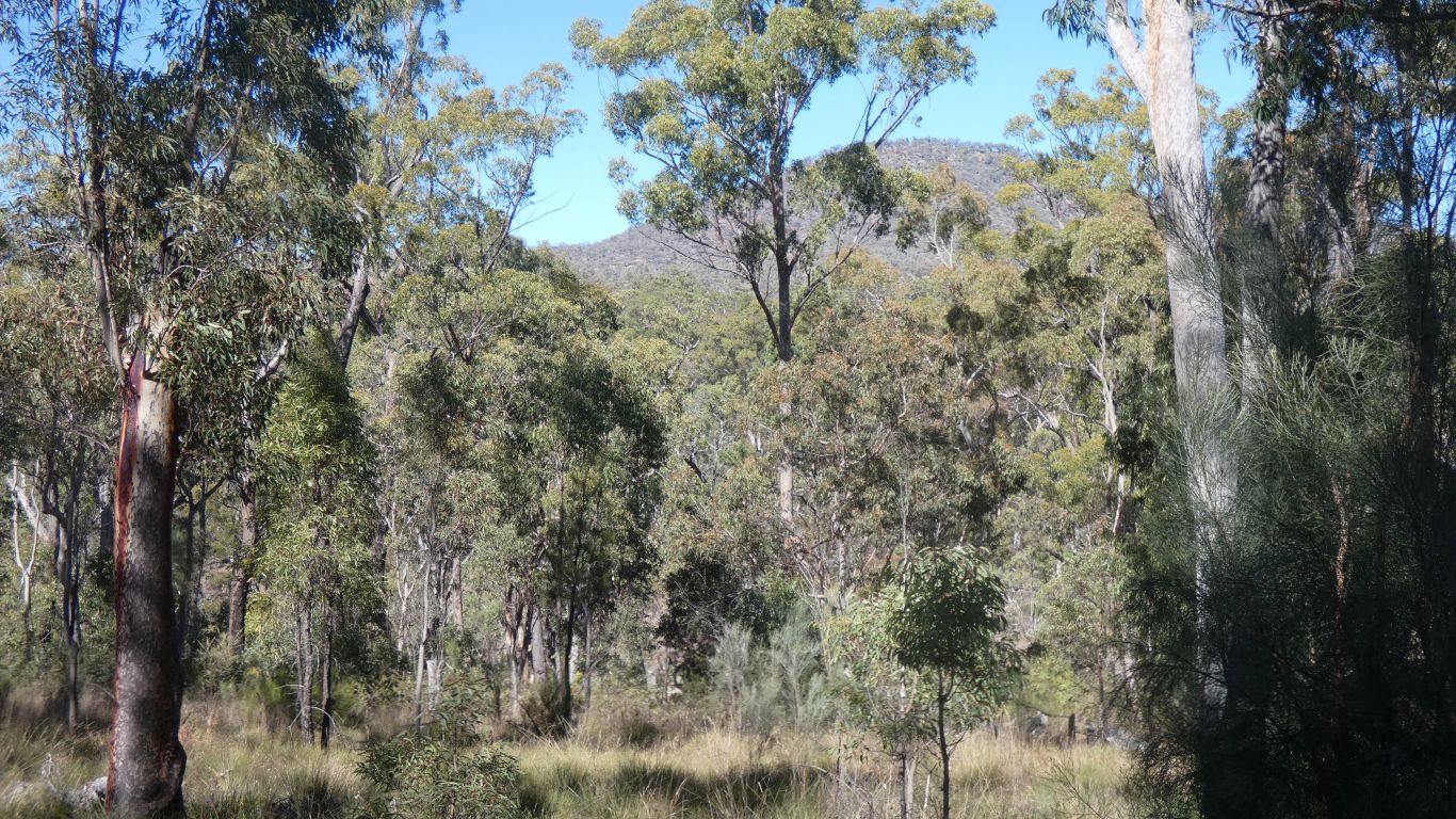
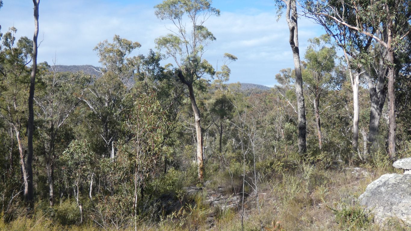
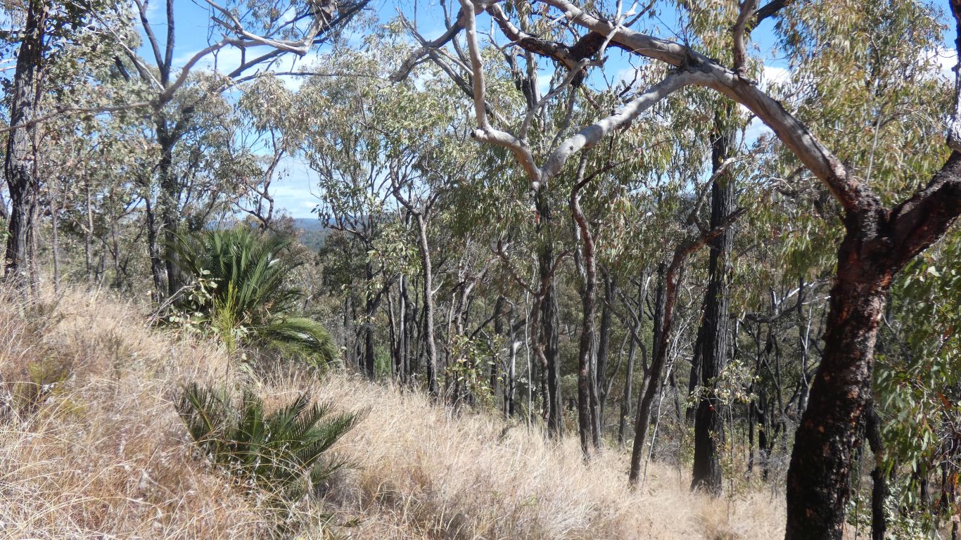
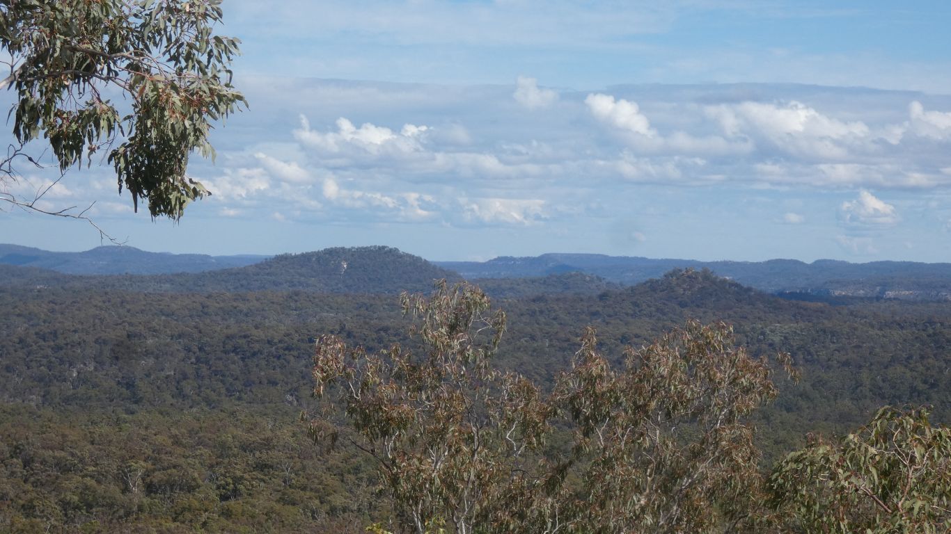
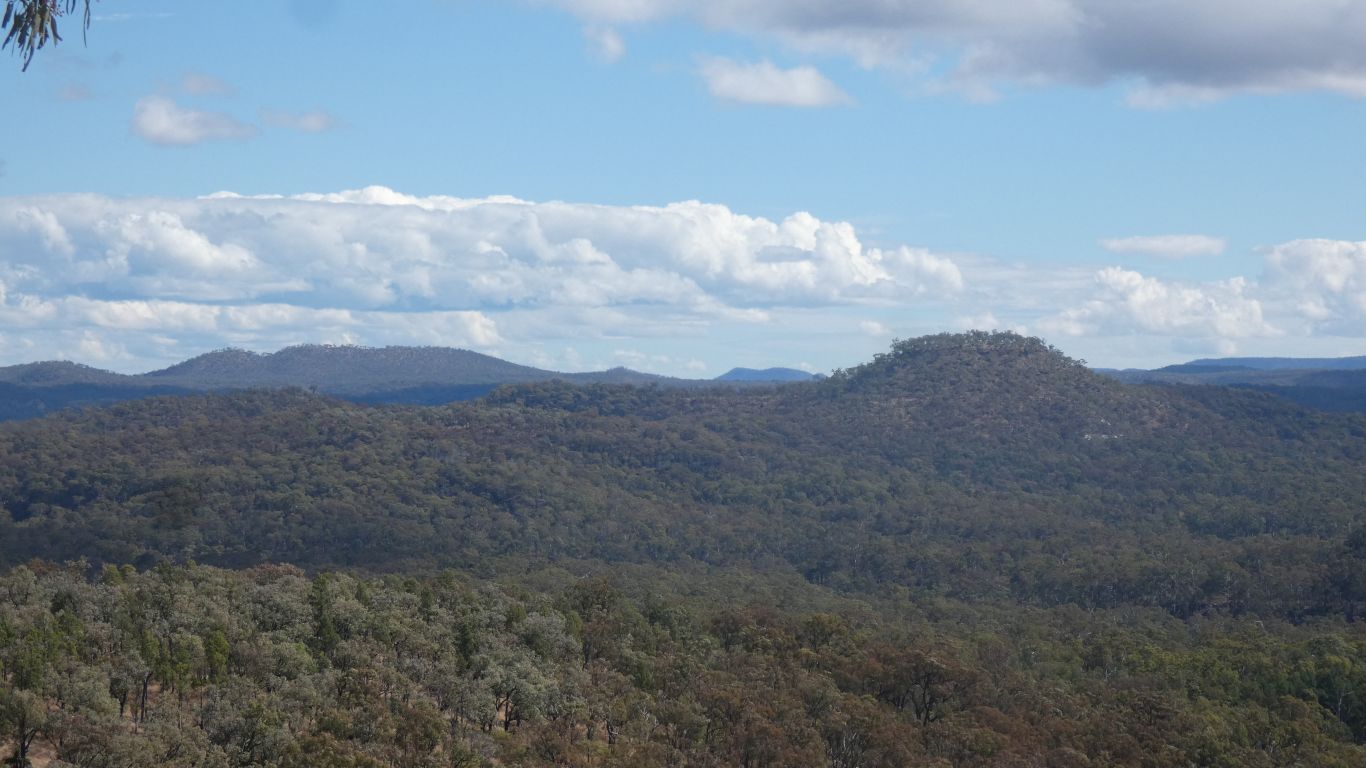
Hopefully we reach the basalt. Looking more promising than yesterday, the track rises along a ridge. We begin to see a bit over the trees.
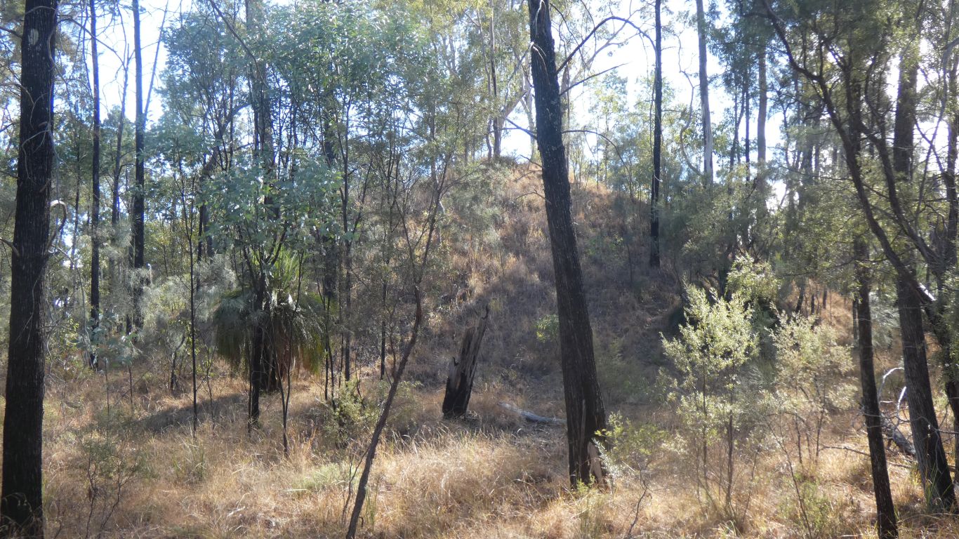
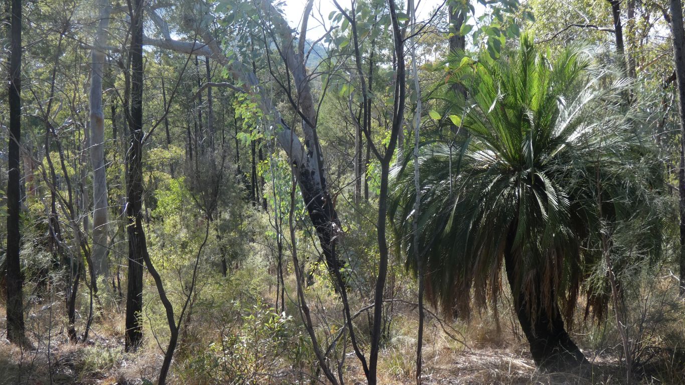
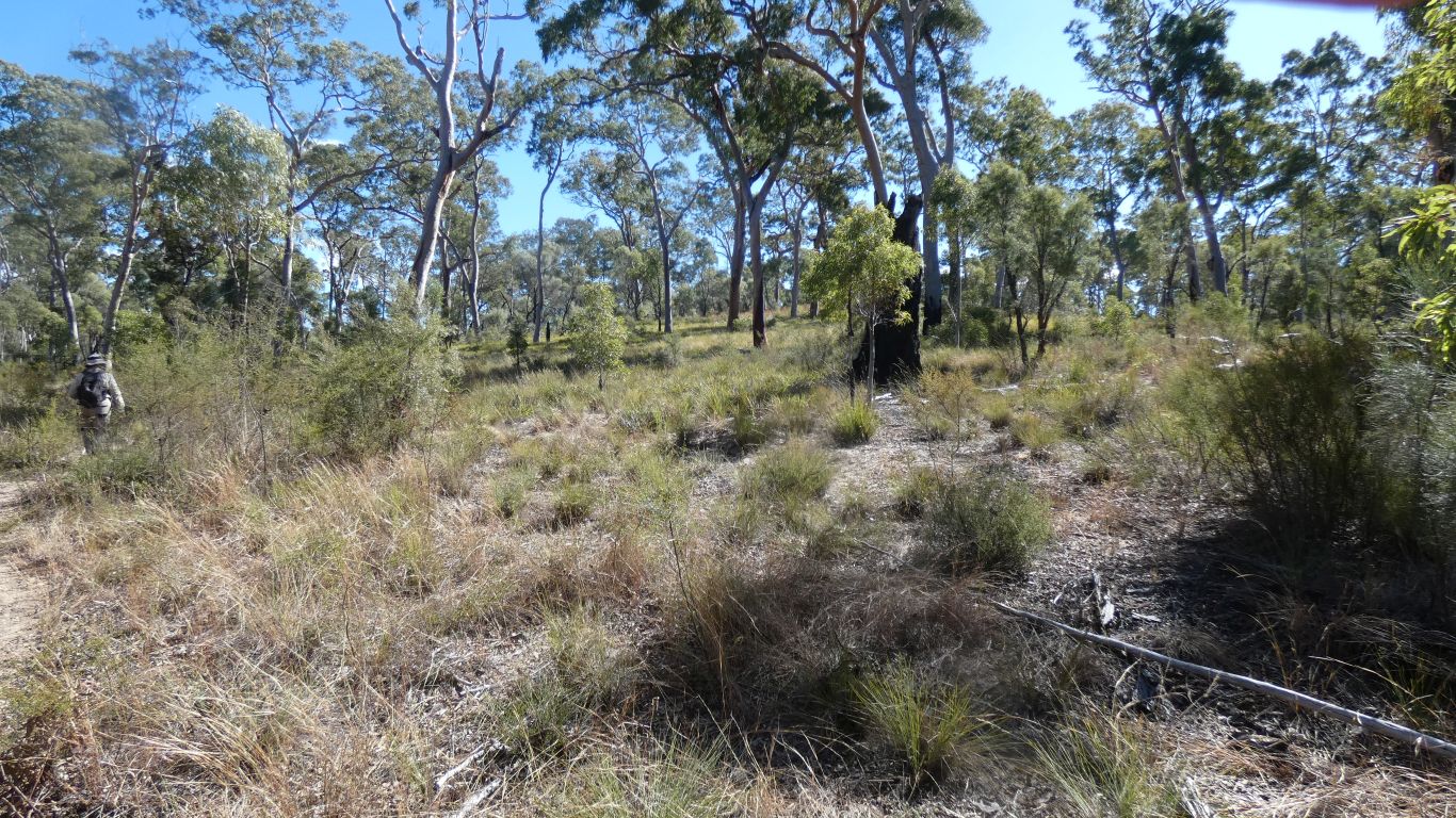
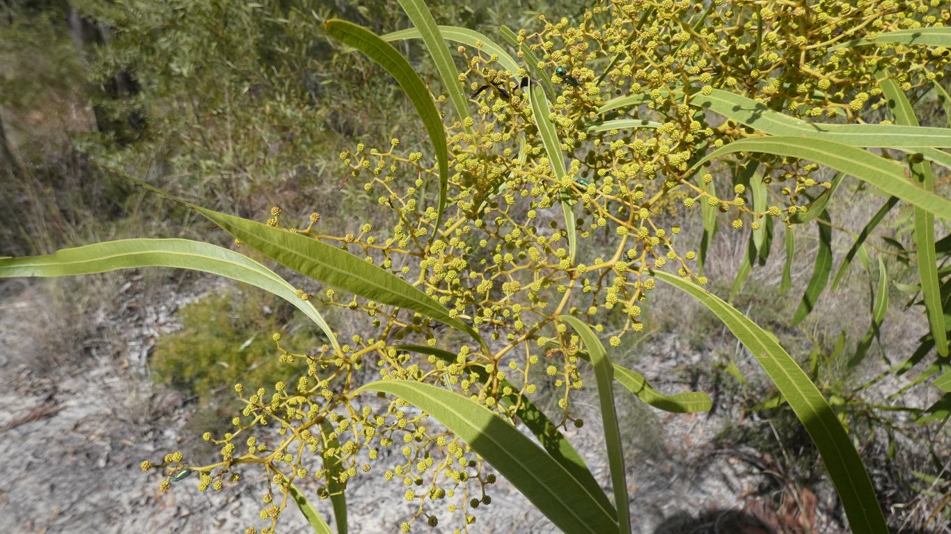
The vegetation slowly changing. A few cycads rather obvious.
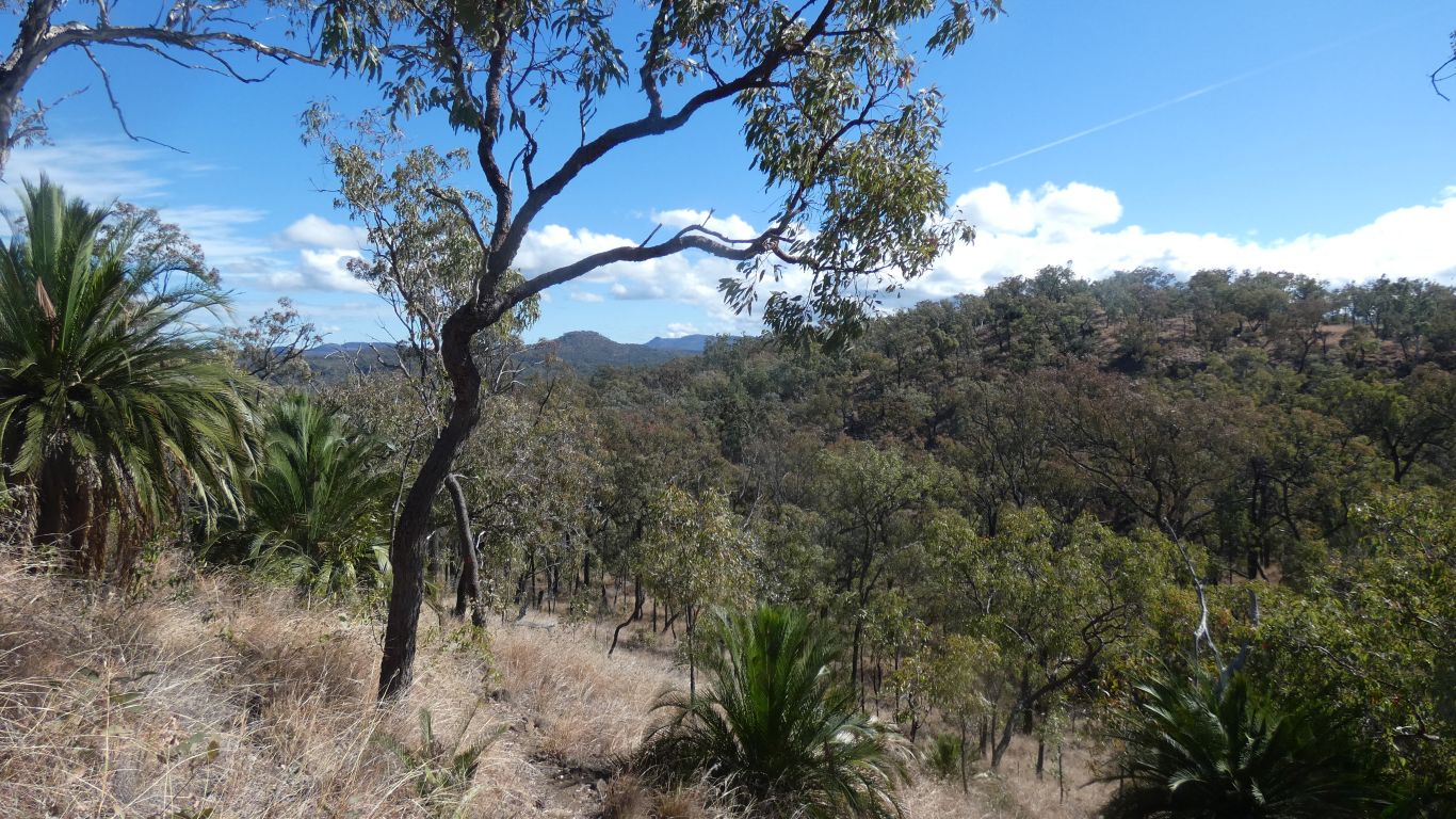
From the camp we seem to have walked a bit, climbed a bit, walked a bit, climbed a bit more. Like giant steps.
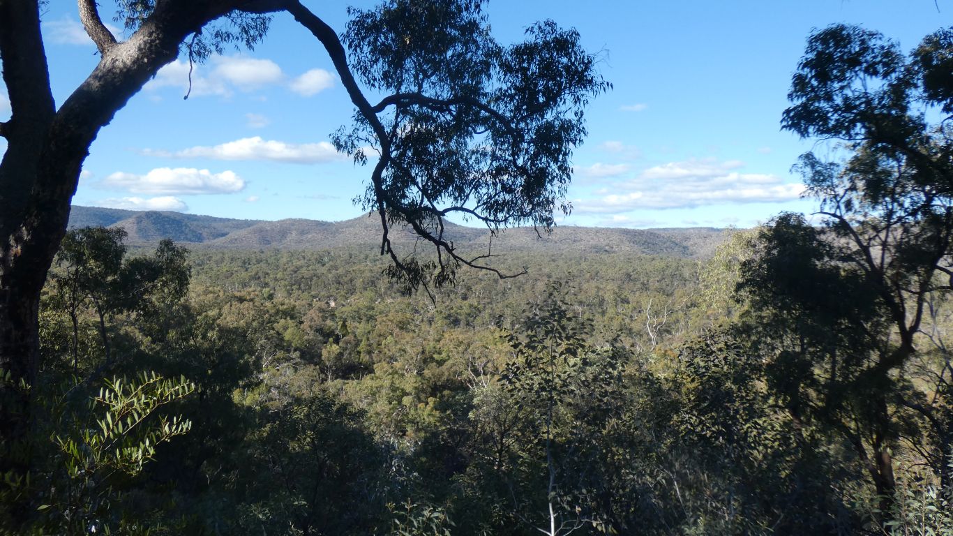
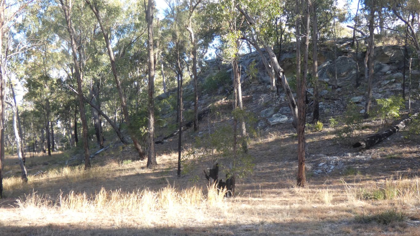
And here is the obvious change from sandstones to basalt.
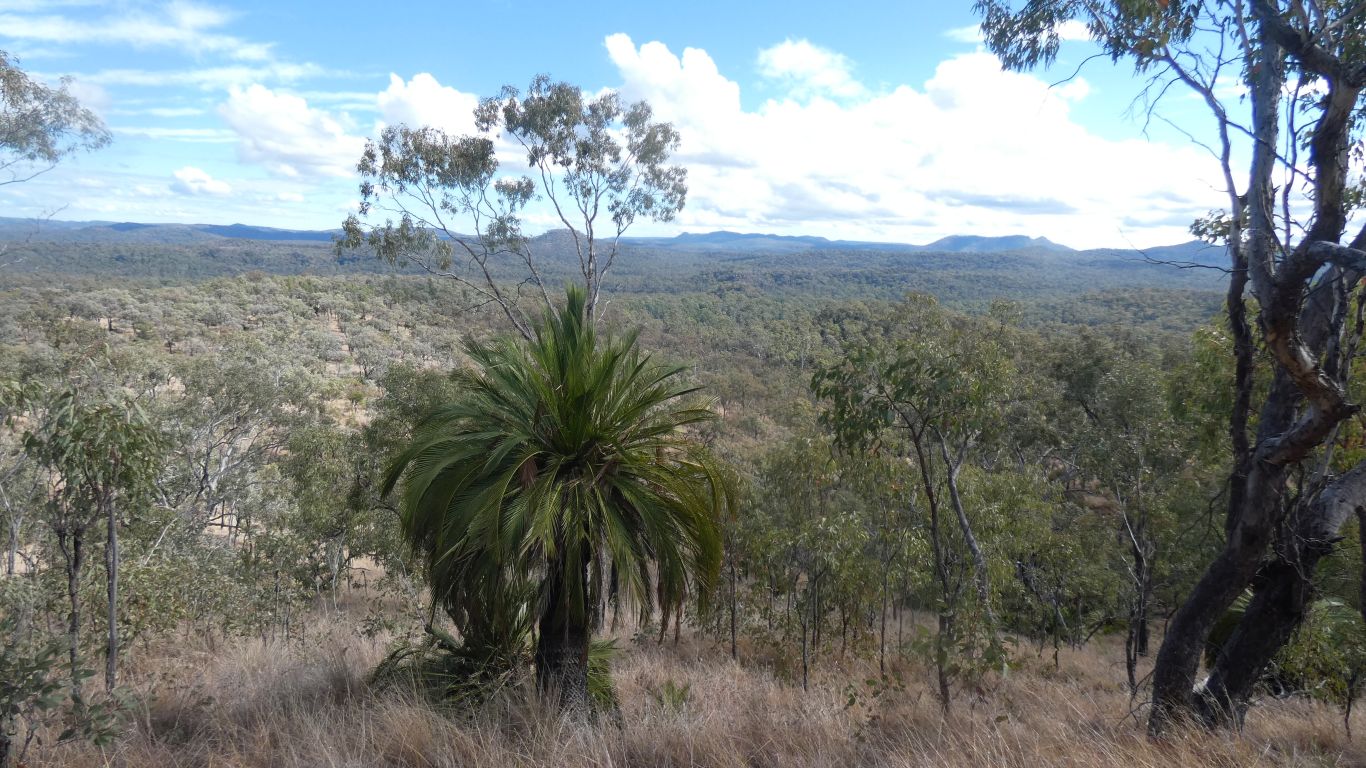
Either way, the steps, from river plain, to that sandstone spur, and just visible in the left of pic the basalt plateau.
Very slow, but they'll get to Consuela Camp tonight. Not much more climbing.
Back to camp .... we've come about 5km.
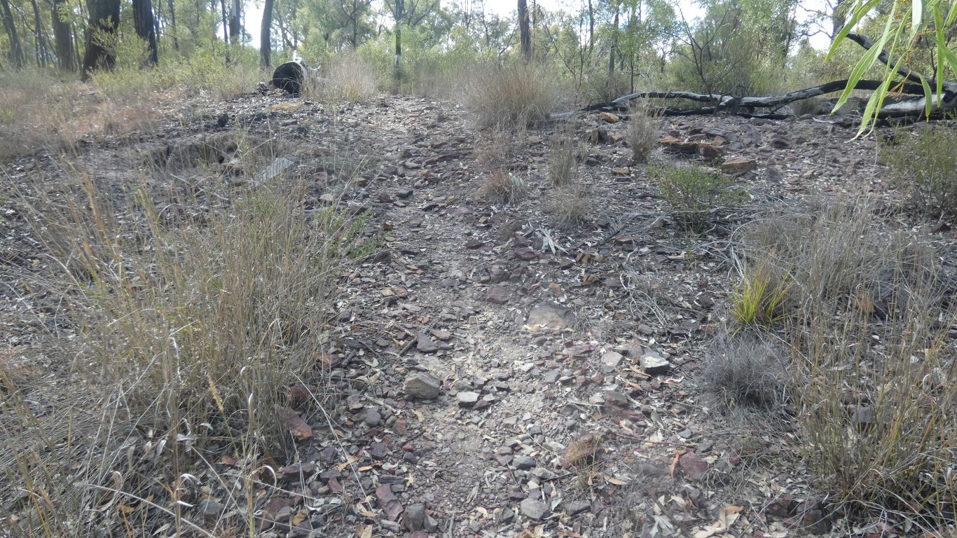
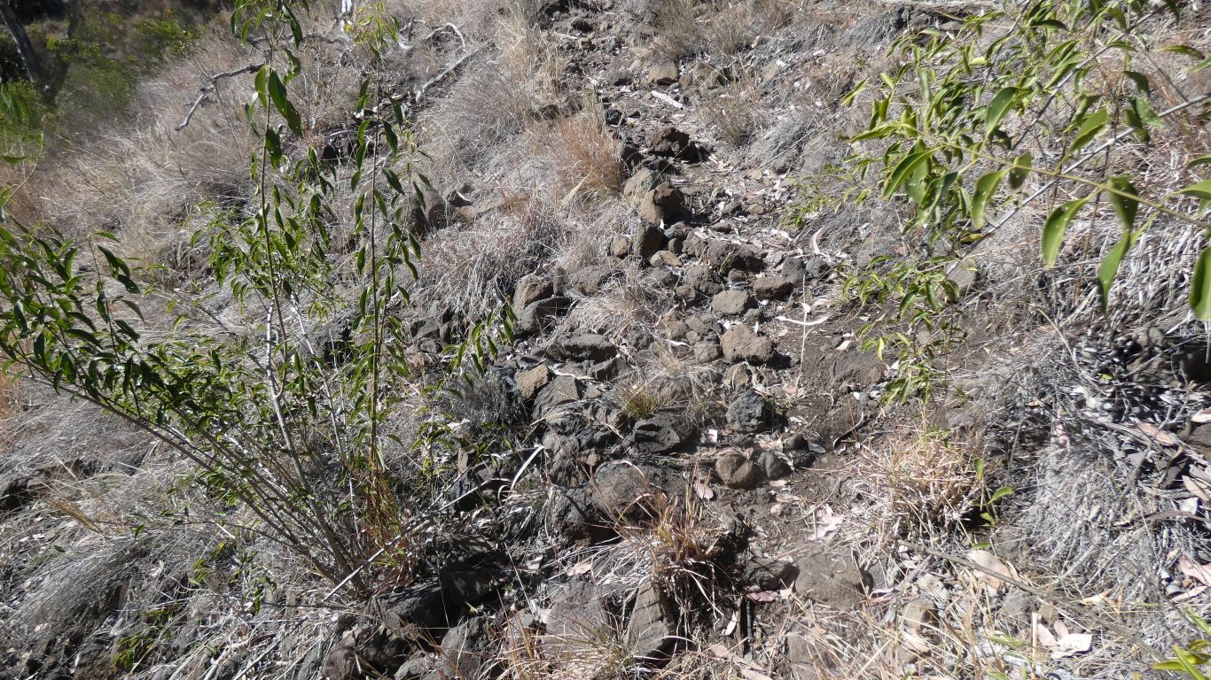
Now we see where one sandstone gives way to a layer of darker sandstone above it. Despite the geological map we are unsure. Though perhaps white precipice sandstone overlaid with evergreen formation.
The coarse, reddishness (is there such a thing), similar, but thicker, than we saw at Beilba.
Our eyes aren't keen enough to pick changes in vegetation.
Which begs the question "where does the iron that forms the patina come from?".
Presumably from layers of other sandstones above, or even the basalt.
But the geological map has none in the area we saw the patina.
A conundrum for another day.
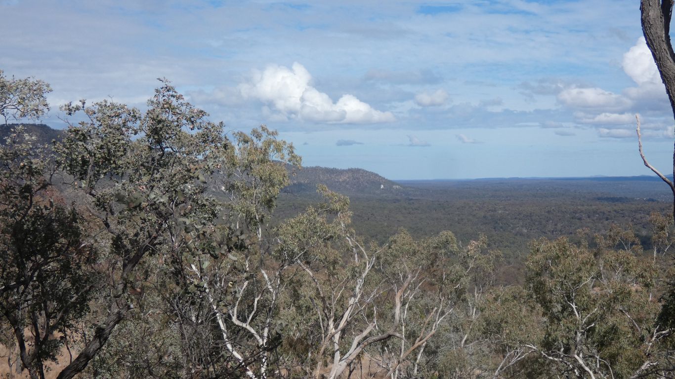
The Maranoa in the park has a wide valley, with no gorge, as its generally too low to have anything left to carve. Perhaps lacking the Basalt cap in the east of the park.
Another pair of bushwalkers camped tonight. For the price of two oranges, which really were better inside than they looked on the outside, I had a look at a 1:50,000 scale topographic map.
I'd estimated from my larger scale, 1:250,000 maps, and the notice board pic of Great Walk superimposed on a satellite pic, that the Great Walk would be accessible from near our next camp at "Rotary Shelter Shed".
The 4wd track to the Rotary campsite continues past a lookout and through the Mahogany Forest to another (not very good) lookout over Carnarvon Creek.
Good news is the topo map shows the Great Walk crossing the 4wd track in the Mahogany Forest. Easier than I thought. And then I found I had a digital 1:300,000 map of Mt Moffat Section of the park, that showed the crossing. But the map ends just east of the crossing! Nice to confirm, but much more detail on 1:50,000.
While the really good news .... I booked three nights at Rotary! Without really knowing why.
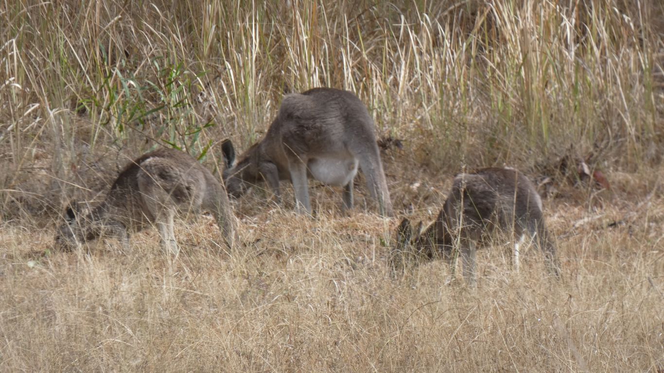
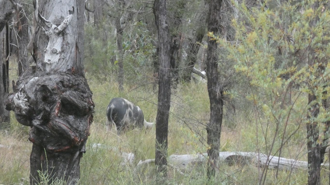
And watch the wallabies in the campground.