Knowing that Top Moffatt is at a lower altitude than Rotary!
Via the scenic circuit.
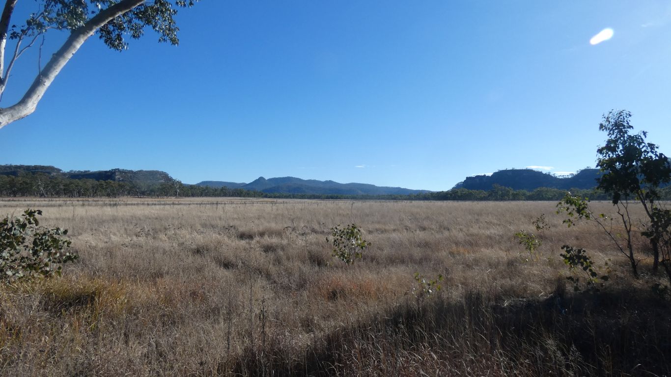
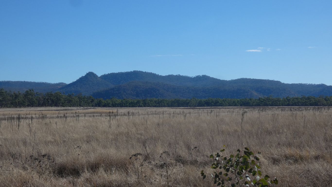
With first a visit to Marlong Plain.
So called because the Marlong River (tributary of Maranoa) flows across it.
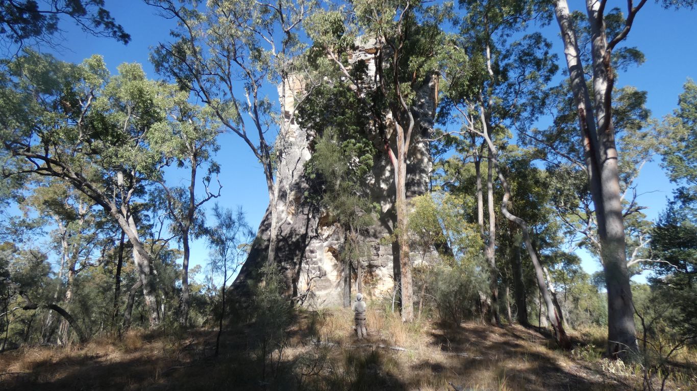
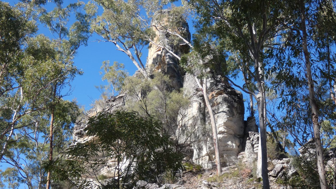
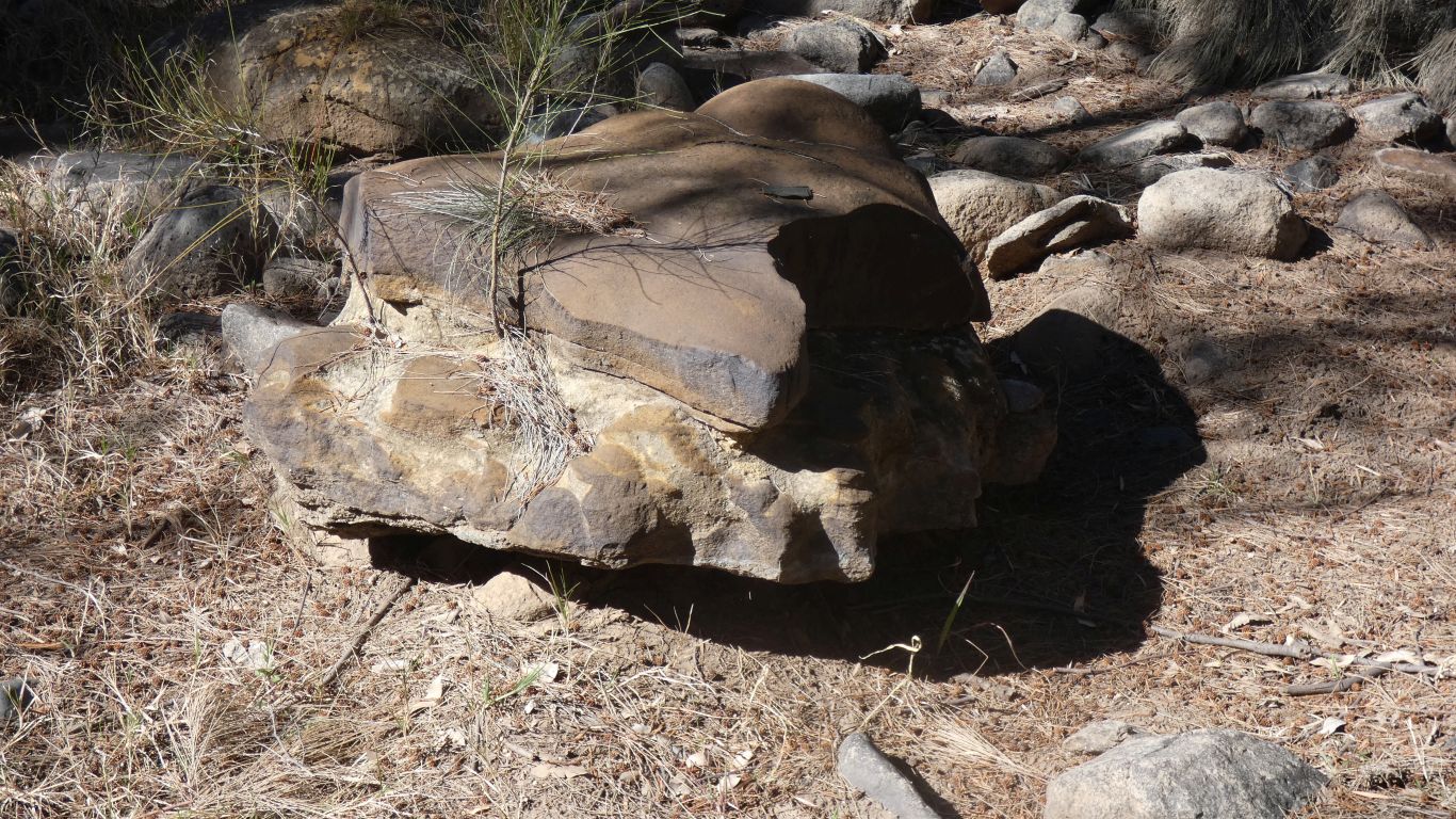
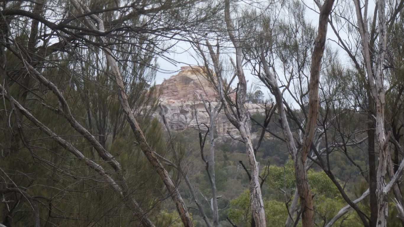
The cone, and the ridges, are (to me) a bit distinctive.
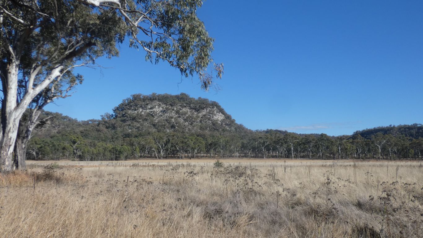
Apart from the bottom looking more to me like a big elephant's foot, complete with toes.
The bible was obviously written by men about men? (rhetorically).
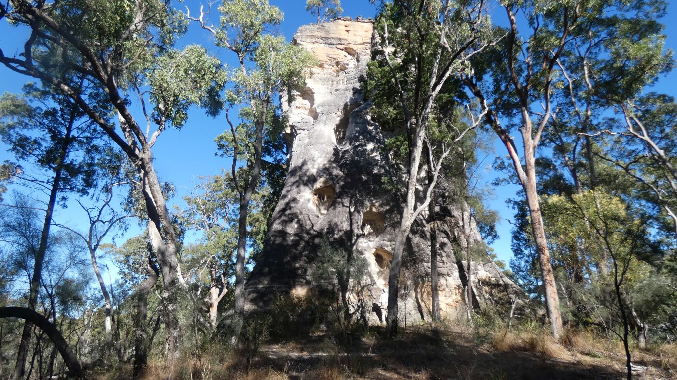
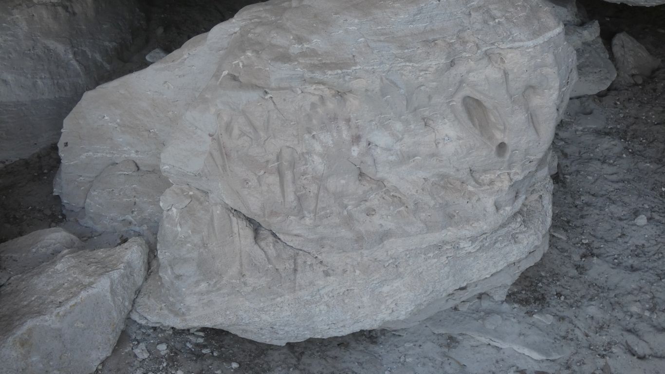
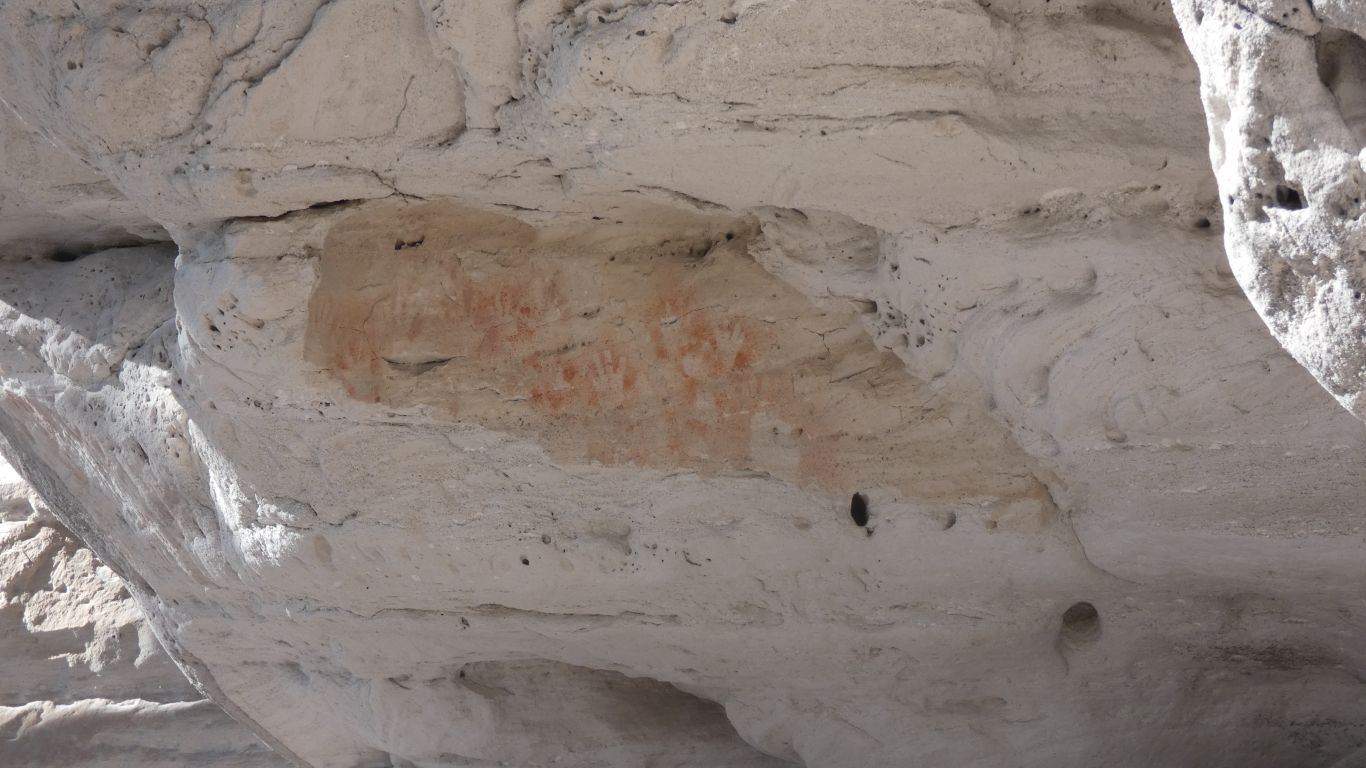
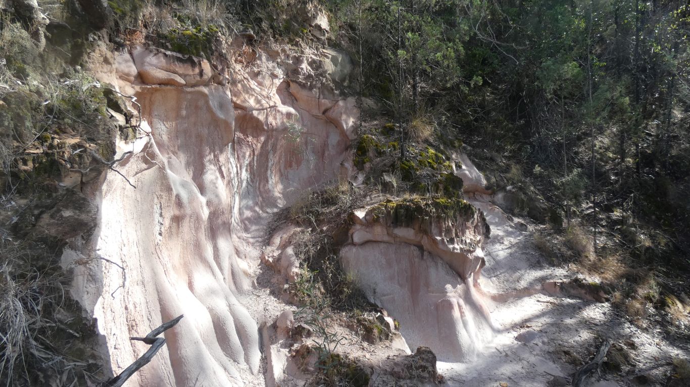
The red of iron appears from the top as water percolates down through the precipice sandstone carrying minerals with it, to both colour and form the patina which is later eroded. Though still visible at the bottom.
Very different to Chambers Pillar where the white colour is due to iron leached out.
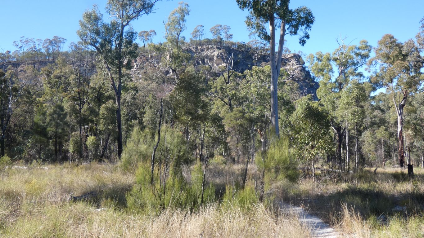
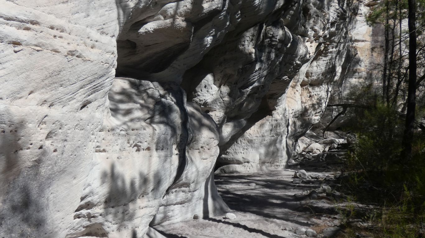
A half moon of cliffs, similar to the Tombs. The cave is at the far end, on the outside.
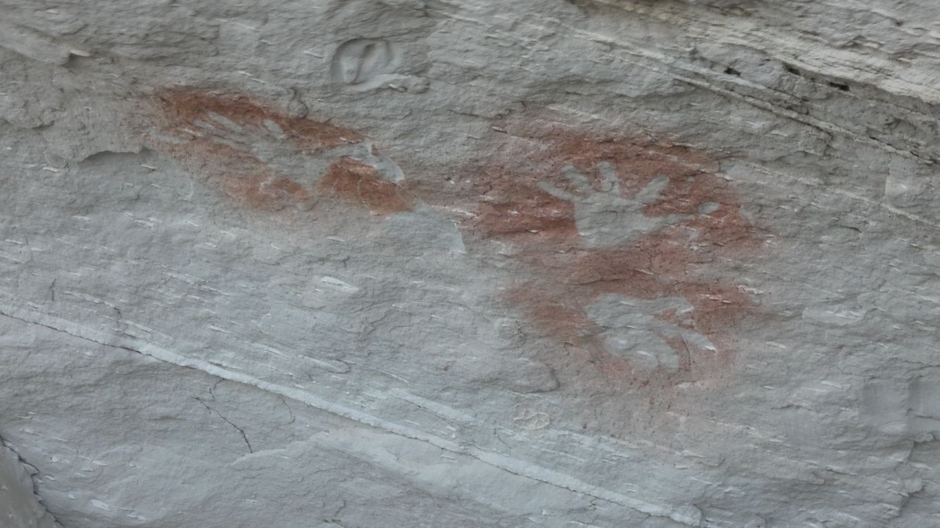
We wonder what is at the base of the cliffs, but decide not to venture there.
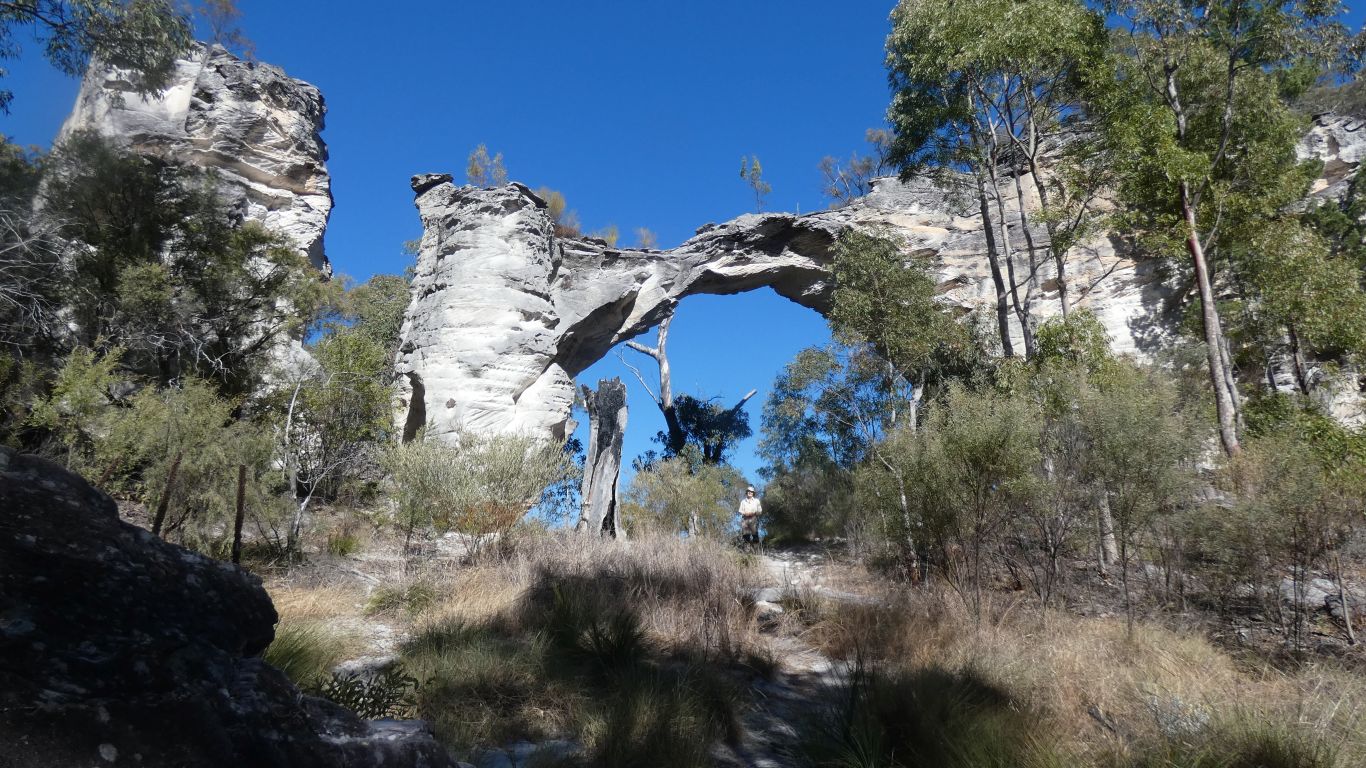
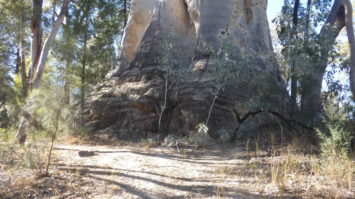
Ali is dwarfed
We've seen lots. And wondered why none with trunks.
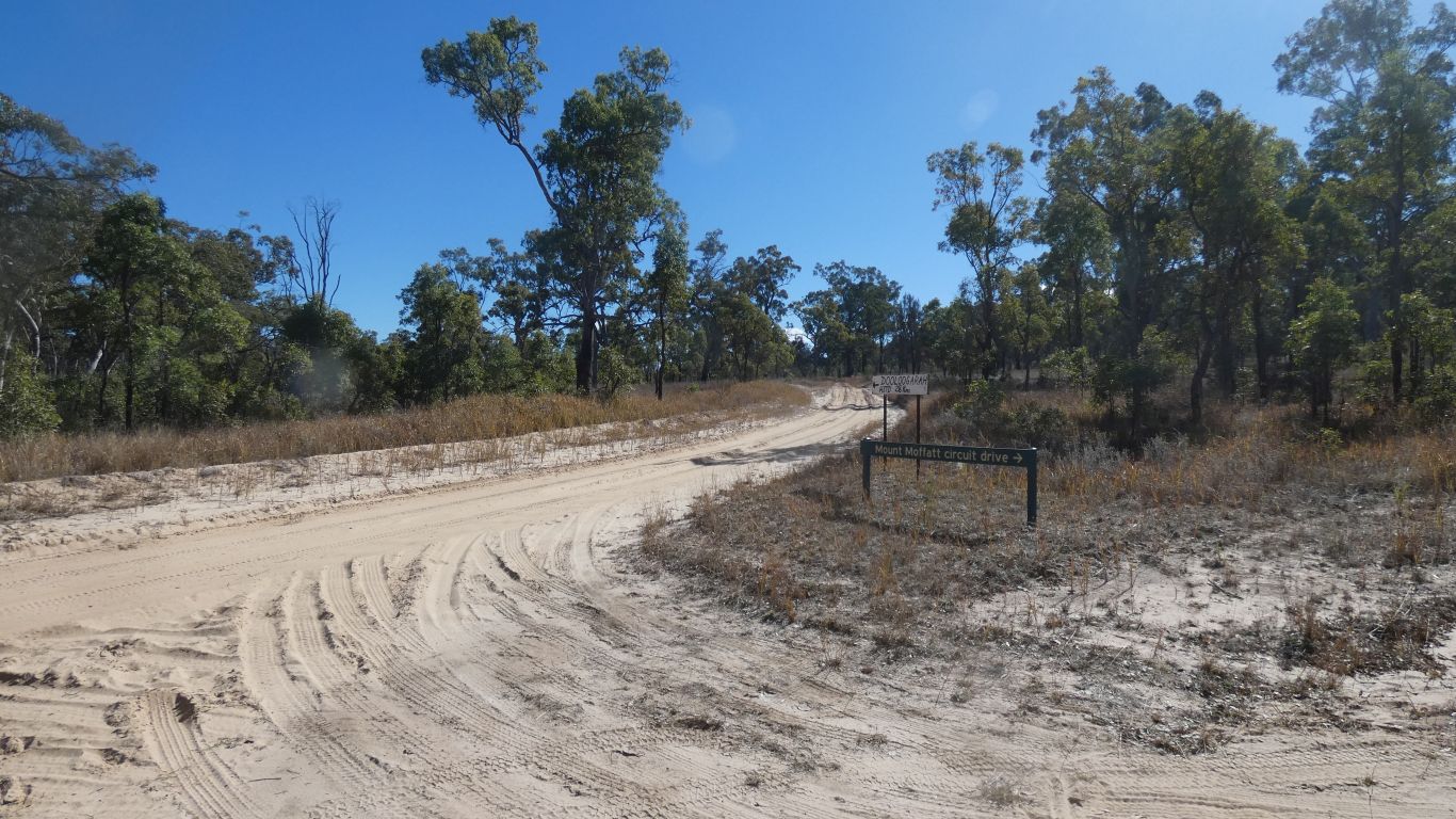
Presumably Dooloogarah Homestead is near Dooloogarah Creek, and the airstrip marked on the map.
Intriguing because all the park maps show a gate at Gee Gee Gap and no through road. The homestead obviously beyond the gap.
The maps show unsealed sbstantial roads all the way to Morven and Charleville. Though one also marks a road past Dooloogarah as "proposed road" which usually indicates non-existence.
But wouldn't that be nice, not having to retrace our steps towards Injune.
We have one potato, one carrot, two tim tams, and four squares of chocolate left - but otherwise supplies are good.
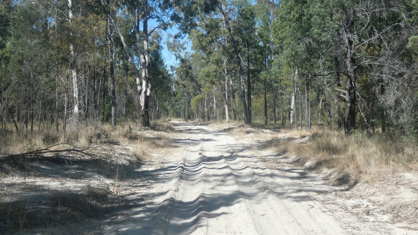
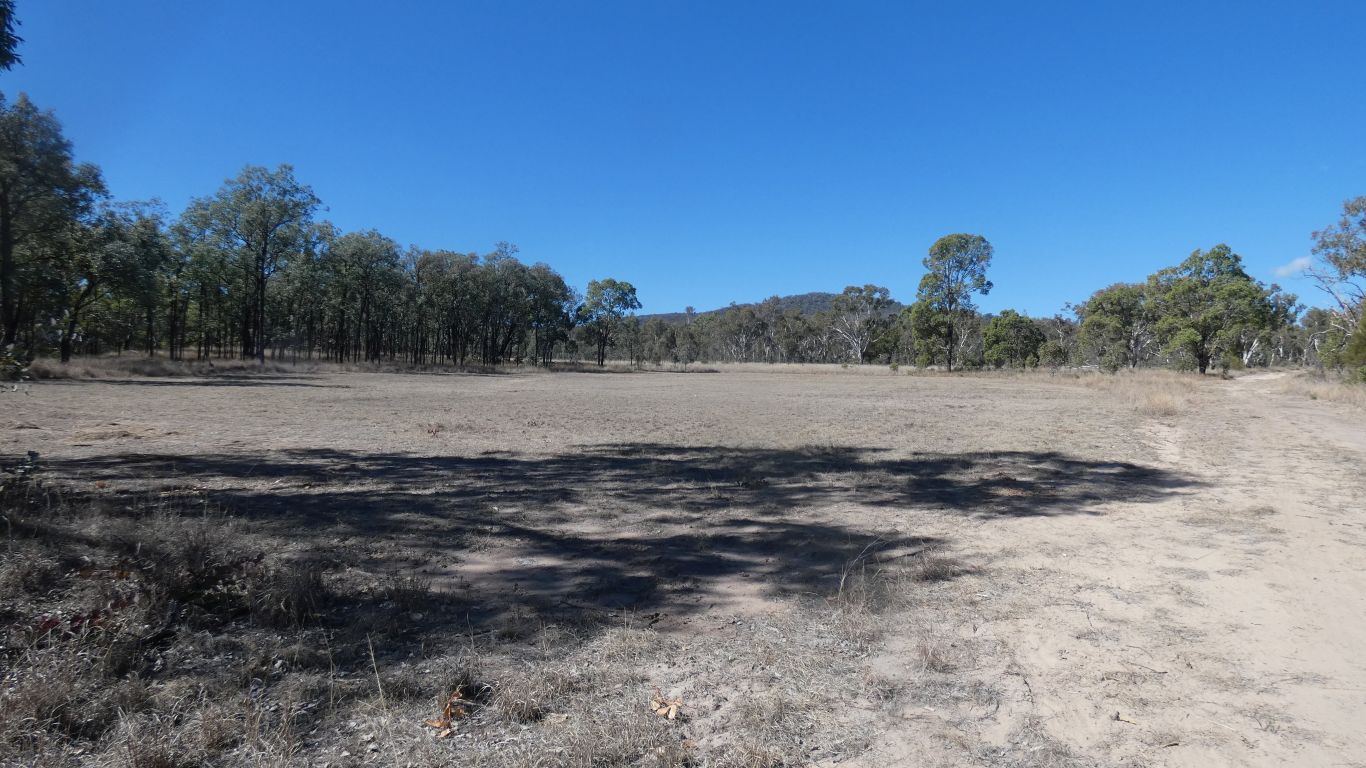
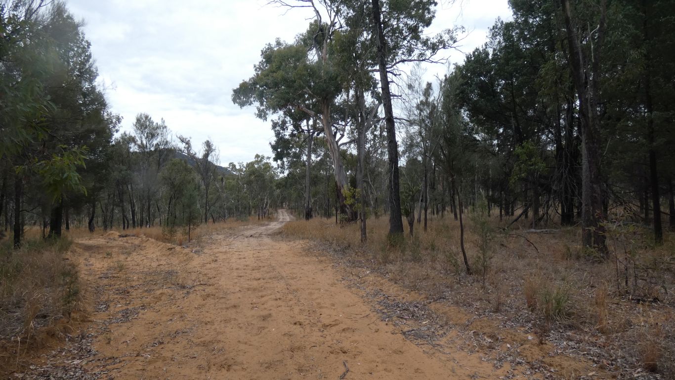
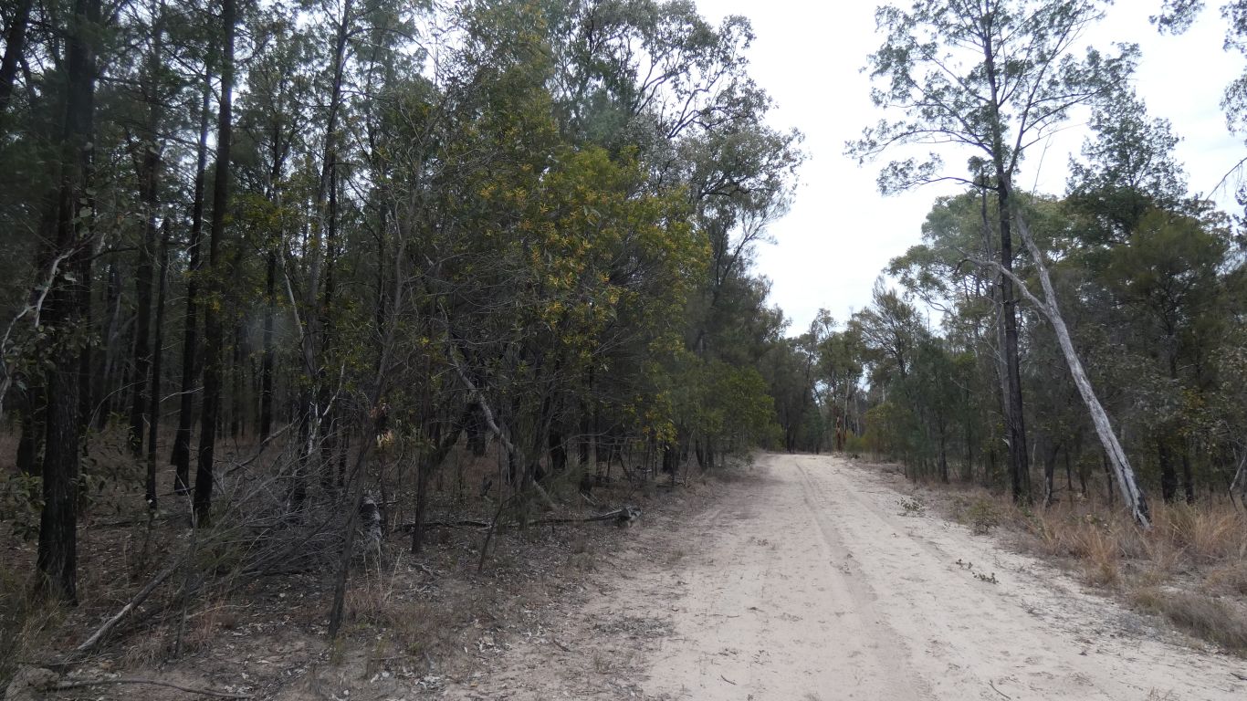
Lots of sand.
We'll look see if its flowing on the way out.
The original homestead is marked as a dot, with no tracks to it. A couple of km away.
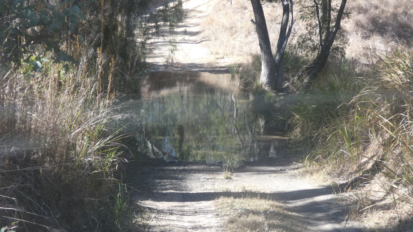
We cross the creek next to the campsite, wondering if this is a natural concretion, or remnants of a building project.
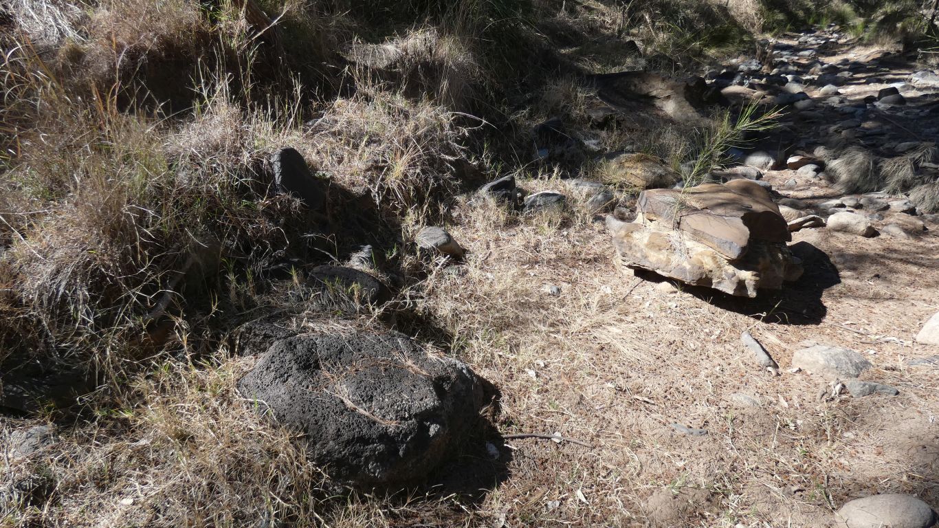
Looks like this was once a site where some trees were cut and processed. A few leftover logs with numbers written on the ends.

For a km or so, past an old yard.
We stop when it is really obvious the track leads south, towards the park boundary and possibly beyond.
We want to head east.

But that heads north.
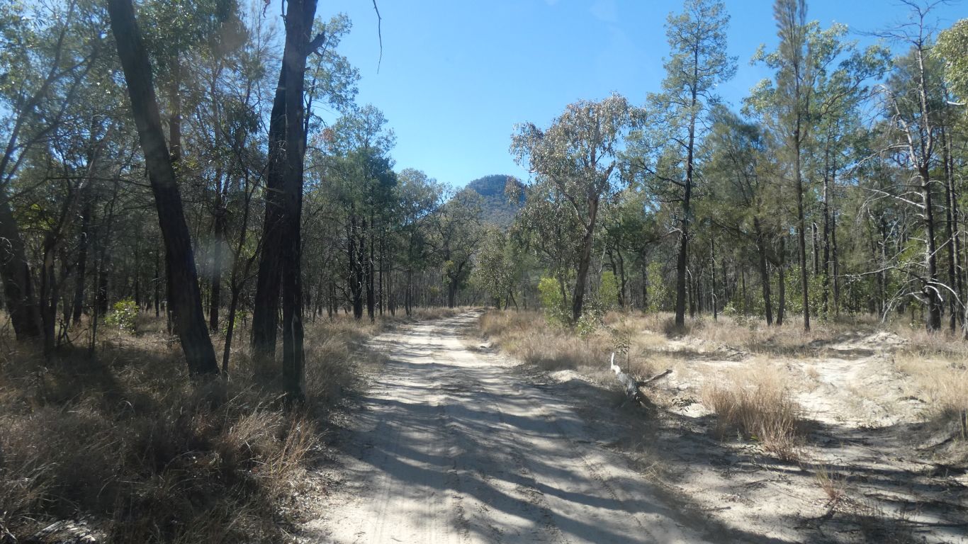
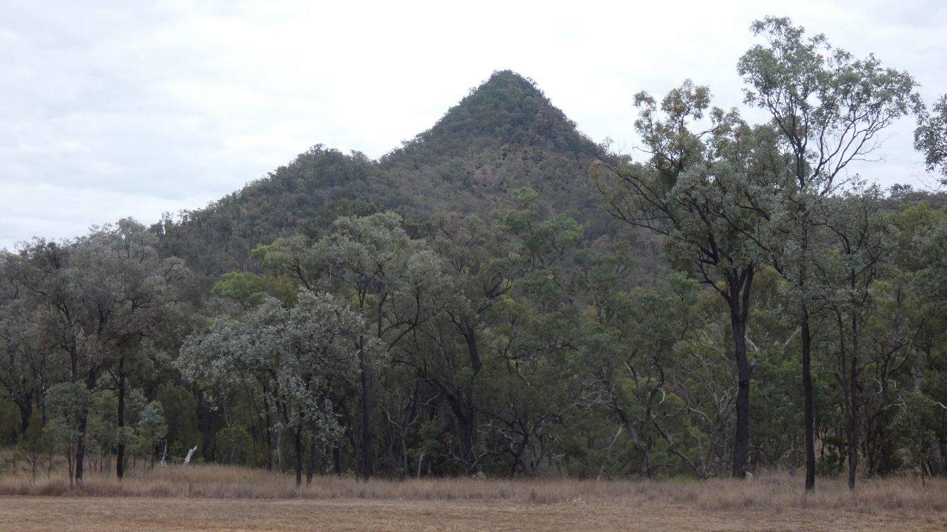
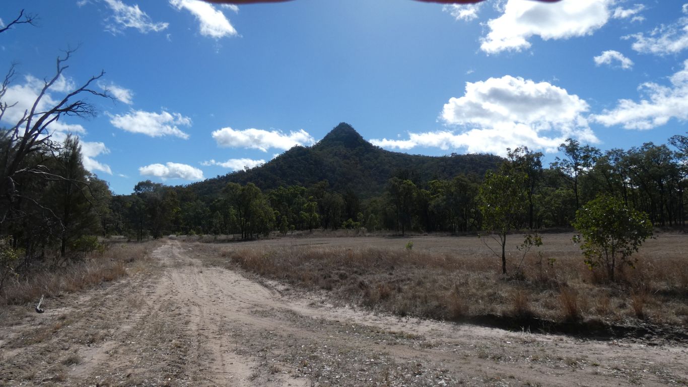
Stopping to take a pic of Mt Moffatt. A possible way up the ridge to the left.
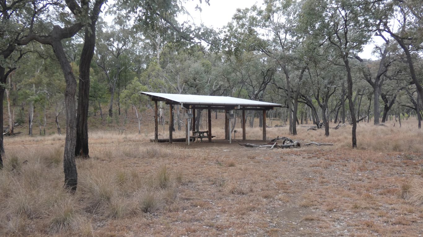
A camp on the Great Walk, it was too far for us from West Branch Campsite.
From here it looks about 6km.
I should add the day is overcast. And cold. The coldest we have been during the day on this trip. Even walking at a brisk pace I'm cold.

There's probably a good view to the north, and the Rotary Camp.
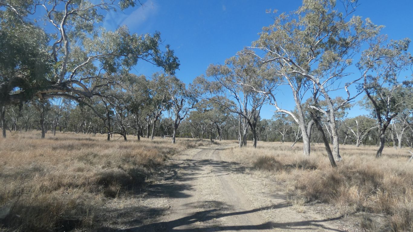
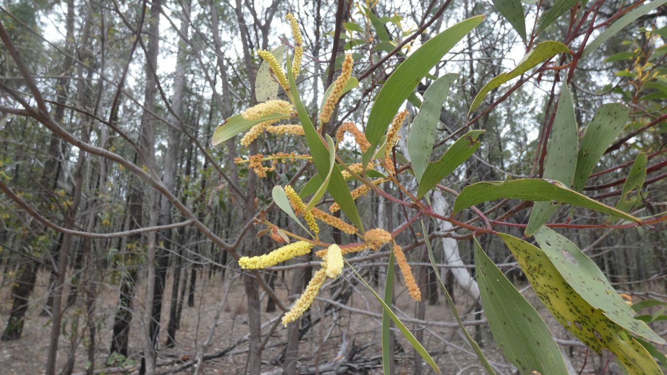
Cypress Pines with brigalow and eucalypt.
I think I prefer walking along a narrow walking track rather than a wide 4wd track. For much the same reason I prefer driving along a narrow 4wd track than a two or four lane highway. A sense of being in touch with my surroundings. More aware, and I think I see more.
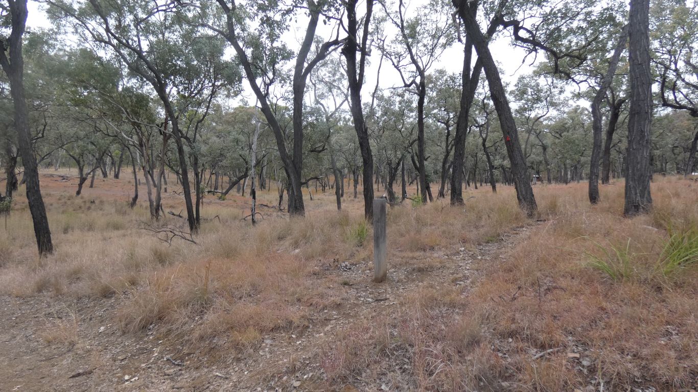
The distance labels, 180m to Gadd's Camp and 15km to West Branch Camp.
I guess the installers of the post didn't anticipate people approaching from the wrong direction!
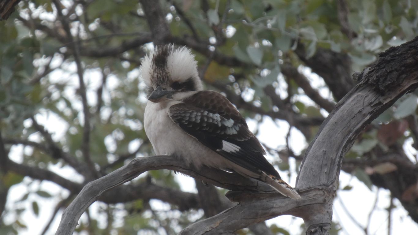
Not for wont of looking. We do see the occasional small bird, but haven't yet discovered the secret of catching them with the camera. We enjoy the sounds.
I've resorted to taking a pic of a Blue Winged Kookaburra.
Not yet resorted to miners (prolific), butcher birds, crows, magpies, and assorted other "common" (as in frequently seen) birds. Strangely, we haven't seen wagtails in the park.
As I write (back at camp) I can see leaves disturbed by a small bird. Its a very different movement to disturbed by a breeze, but I can't see the bird through the leaves - though improving slowly.
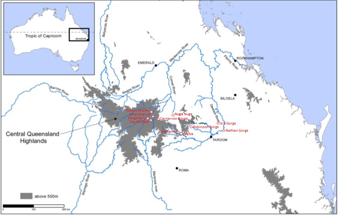
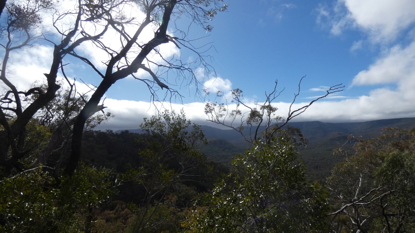
The surrounding ridges hidden by trees (but don't chop them down!).
"Pleasant".
I've enjoyed the walk.
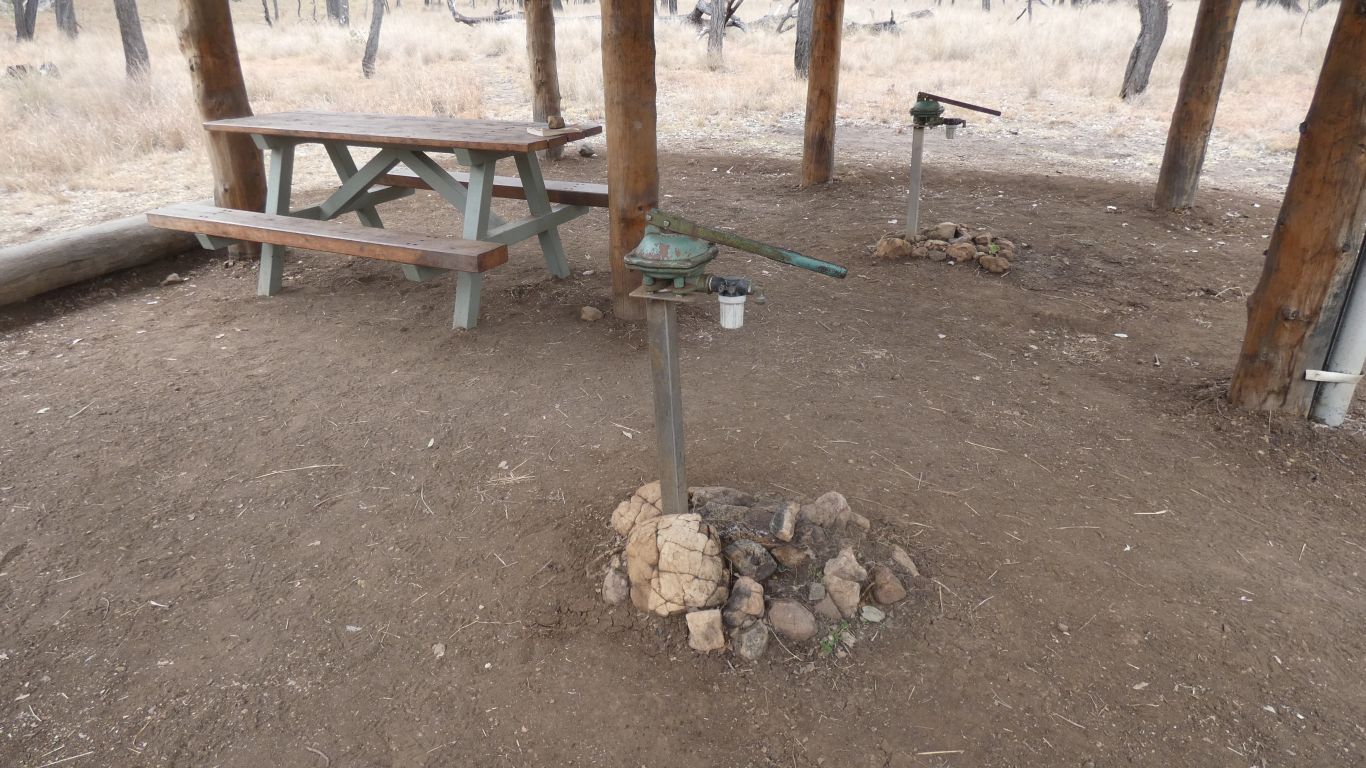
Two "Southern Cross" hand pumps.
I wonder how to tell how much water there is.
Perhaps they are also wells.
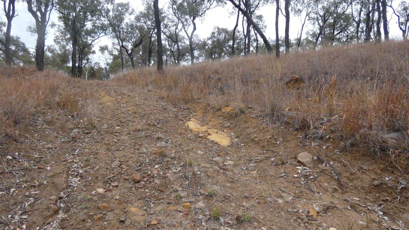
Still looking at the colours in the road.
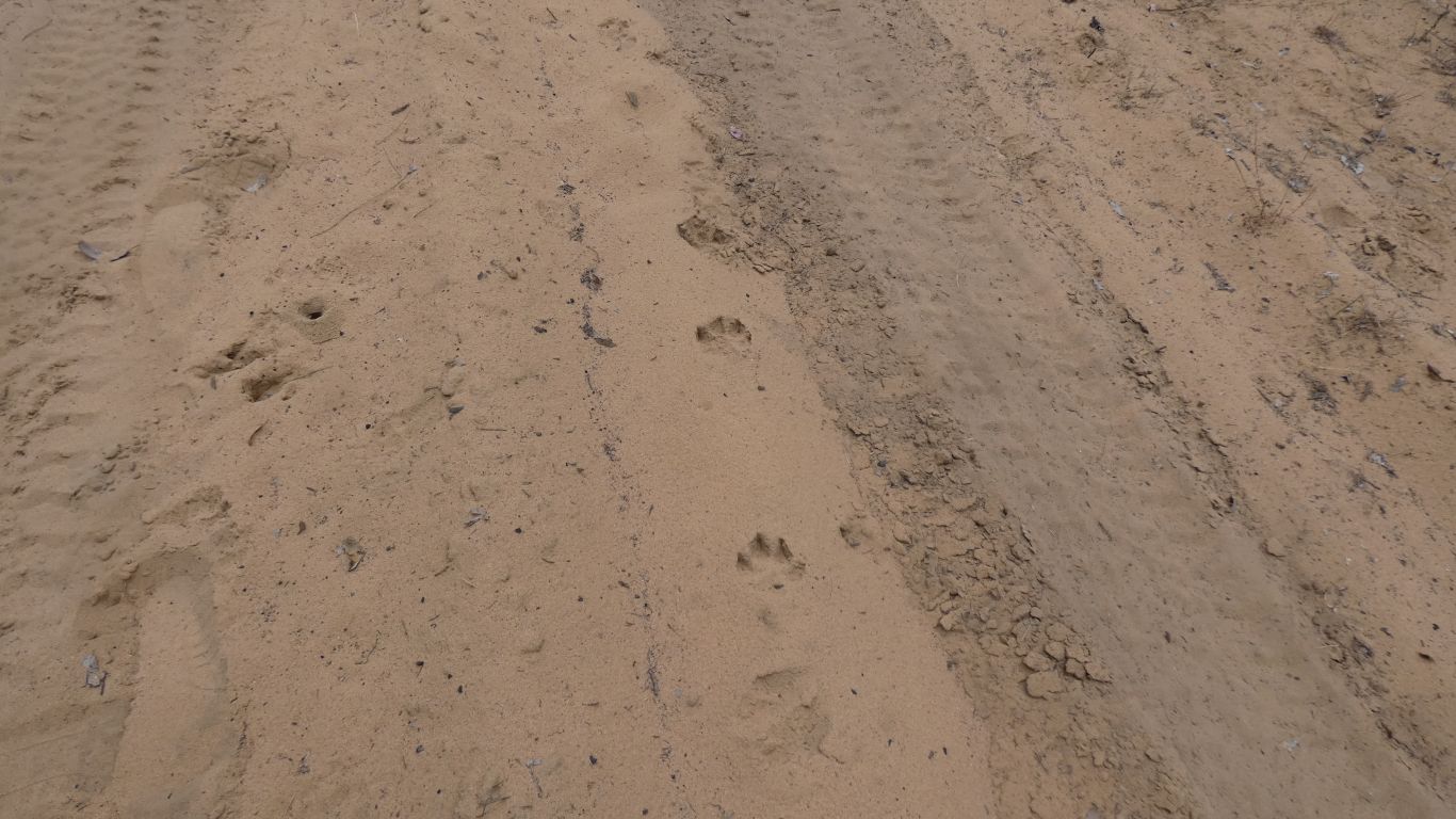
The wheel marks are from a Ranger's landcruiser. He waved as he passed on the way to Gadd's Camp.
I didn't see him again. I assume he followed the track further north, all the way to the head of Carnarvon Creek, the track we walked a little bit down a few days ago.
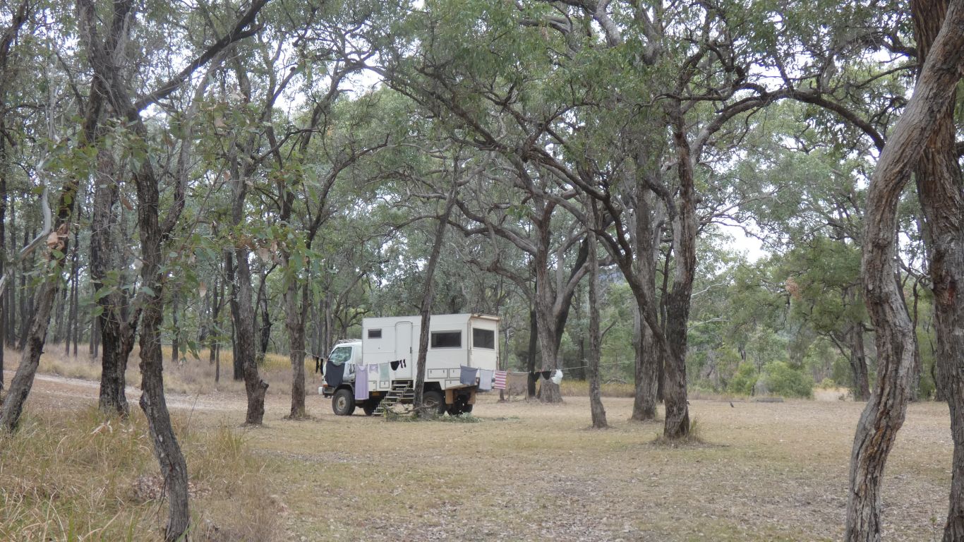
Someone has been busy doing laundry ...... hopefully it will dry enough, the weather is still cold and overcast.
Rain during the night. Enough to turn the black soil parts of the track to mush. Or at least very slippery.
Prudence rules. We'll spend another day at Top Moffatt. Still overcast, its also cold.
Perhaps just as well, I'm a bit achy after yesterday's walk, and didn't sleep well.
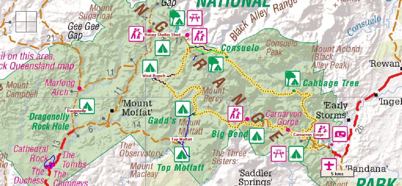
In the meantime, here's a map of the park with our campsites and walks (in blue or red lines). Without the Carnarvon Gorge walks where I "forgot" the tracker.
When I add them all I get 95.5km over 12 days. Not that it matters, the Great Walk is 86km over 6 days. Not a competition, just a benchmark. Perhaps also an "itch scratched".
Nice to be in a park where we can easily walk. Too often it seems national parks are designed around driving.
Apart from today's rain, and max 7 deg C temperature.
https://www.robertashdown.com/blog/?tag=arcadia-valley
Then added our campsites. It shows land above 500m in grey and the major rivers.
We spent time in the Fitzroy catchment, mainly along the Dawson River, but also Carnarvon Creek and Arcadia Valley. Gradually becoming more aware of our surroundings. A vague idea of explore sandstone country becoming concrete.
In Mt Moffat section of the national park we have been near the Maranoa, which flows southwards and becomes the Balonne (near St George) then Bokhara / Culgoa south of Dirinbandi, and thence into the Darling near Brewarrina.
The Warrego River rises to our west, and also flows into the Darling, at a different place, after about 650km, south west of Bourke.
The Barcoo, which rises in the north west of the sandstone flows west(ish) into Cooper Creek, and thus Lake Eyre. Our intention is to head west, then return along the north side of the highlands, so we'll cross from the Murray-Darling basin to the Eyre basin.
The Belyando flows north, but on the east side of the Dividing Range, joining the Suttor River, which flows into Lake Dalrymple, formed by the Burdekin Dam. The Dividing Range is sort of south-east to north-west through the highlands. I can recall following the Suttor Development Road, and the Burdekin, wondering about the rivers, on a previous trip. Seems to be "a thing".
There hasn't been sufficient rain here to make the creeks flow, they remain dry. The water absorbed by the sand. But enough to stop our progress.
The obvious, to us, route to the top is up the southern ridge, accessible from the road out.
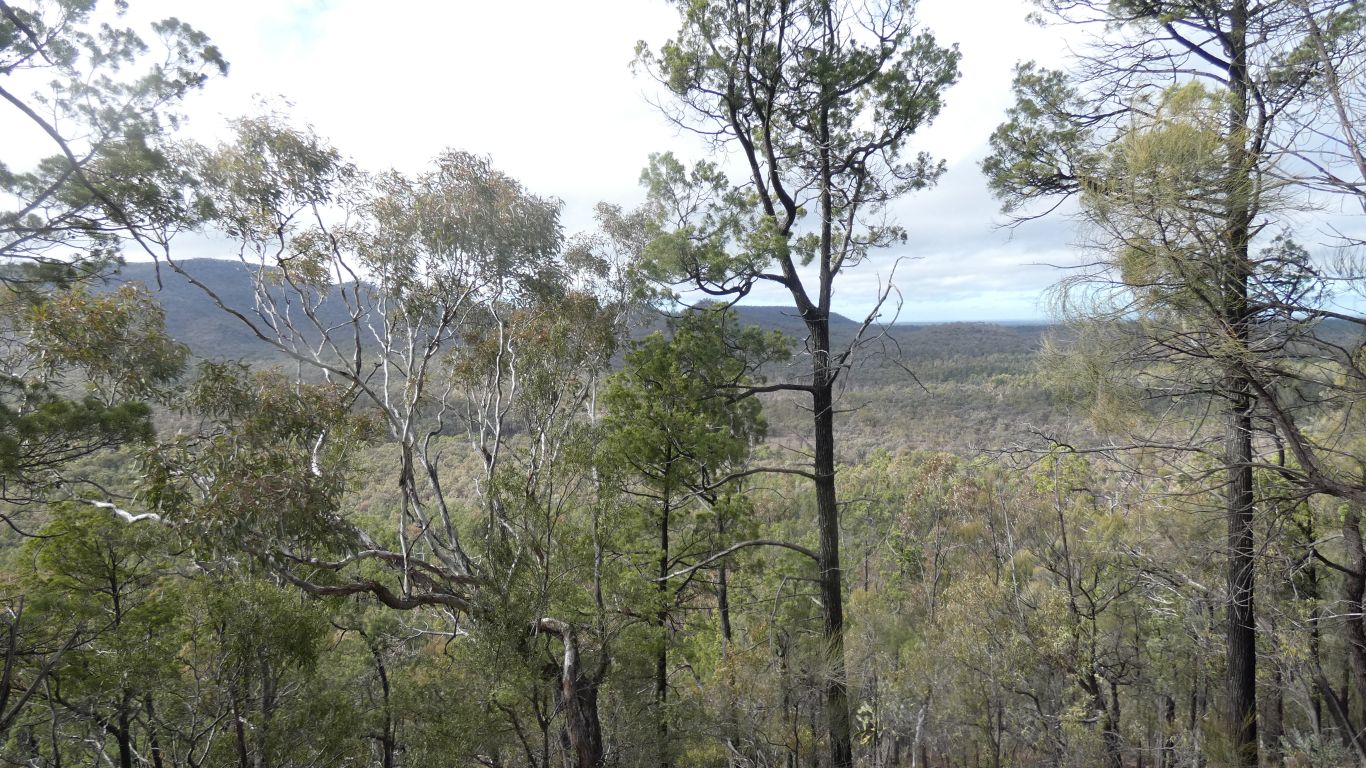
As we climb, which becomes a scramble on dry stones and slightly damp, slightly slippy soil, we began to see through the trees, looking east. Campsite below us.

The top of Mt Moffatt is 1097m according to the map.
Rotary Camp and Consuelo around 1200m.
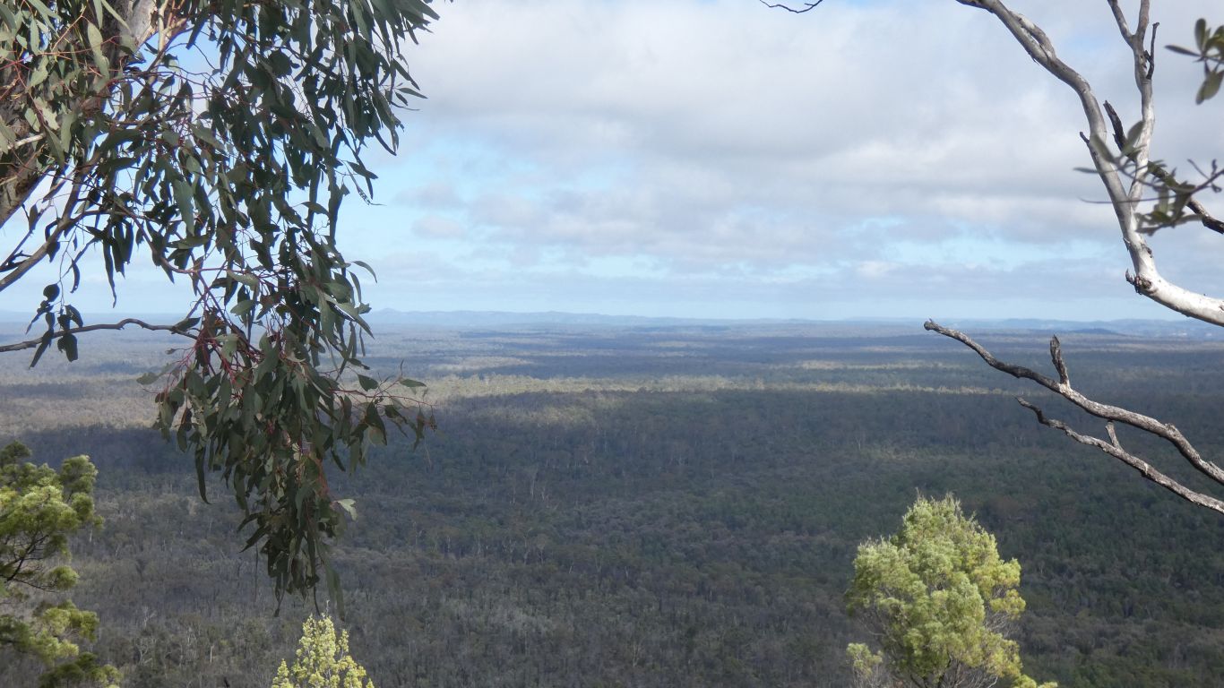
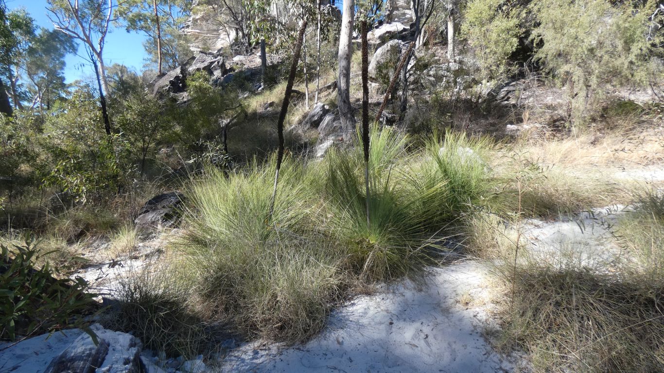
There are several large specimens on top of the pimple. And lots of smaller plants on the way up.
The moth imported to kill it perhaps hasn't reached here.
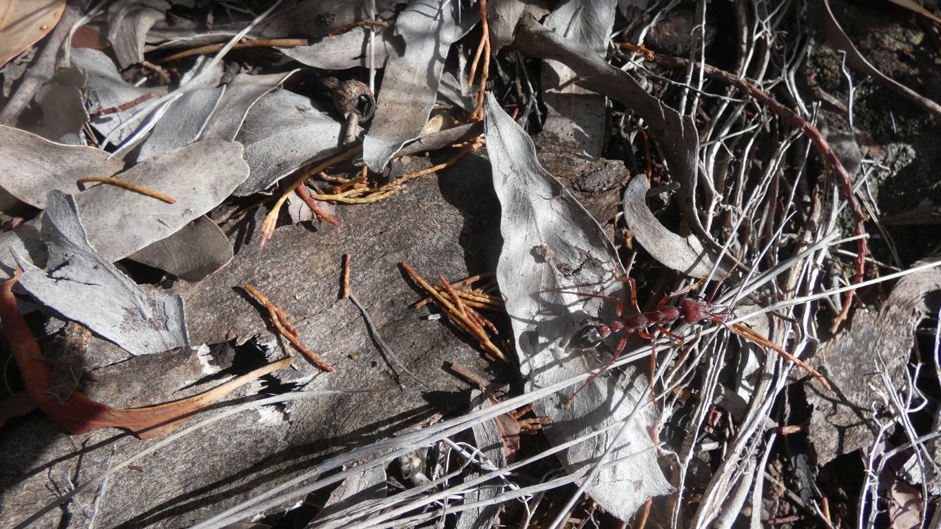
Not one of the average ants we've seen.
And an explanation of the weather.
The wind has been blowing the clouds from the north. There's dense dark "looking like rain" clouds along the top of the ridge. Above that a rolling white cloud.
Presumably as air forced up the mountains it cools and rain falls. The wave can carry moisture no further.
We can imagine heavy rain at Rotary Camp. Our little bit of rain (though significant for the tracks) almost an oversight. Sometimes it reaches us, other times not. Its relatively light rain.
The rain at camp had seemed to arrive from the north, and retreat that way. Rather than move past us. We can't see the wave from camp.
The alternative of sidling around the east side, that looked feasible from the camp, looked to have the steep head of a gully to traverse.
We turned back.
On the way down a hint of what may be exposed on the north ridge of the mountain. The bare rock I could see from the road north to Gadd's Camp.
White precipice sandstone, with a nice hint of red/pink.
I reached Ferntree Gully after about 3km. Two steep crossings provided.
Difficult to know whether it continues south east, or perhaps turns eastish after the creek. Its difficult to know where it ends, or joins other roads.
I was perhaps a km short of seeing the three sisters on the horizon. If the road continues in that general direction they are within walking distance.
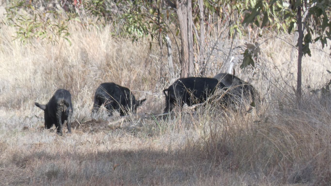
Instead I decided to hone my pig hunting skills. These four (of five) were making a mess of the road, moving away from me. They ran away when I got to within 50m.
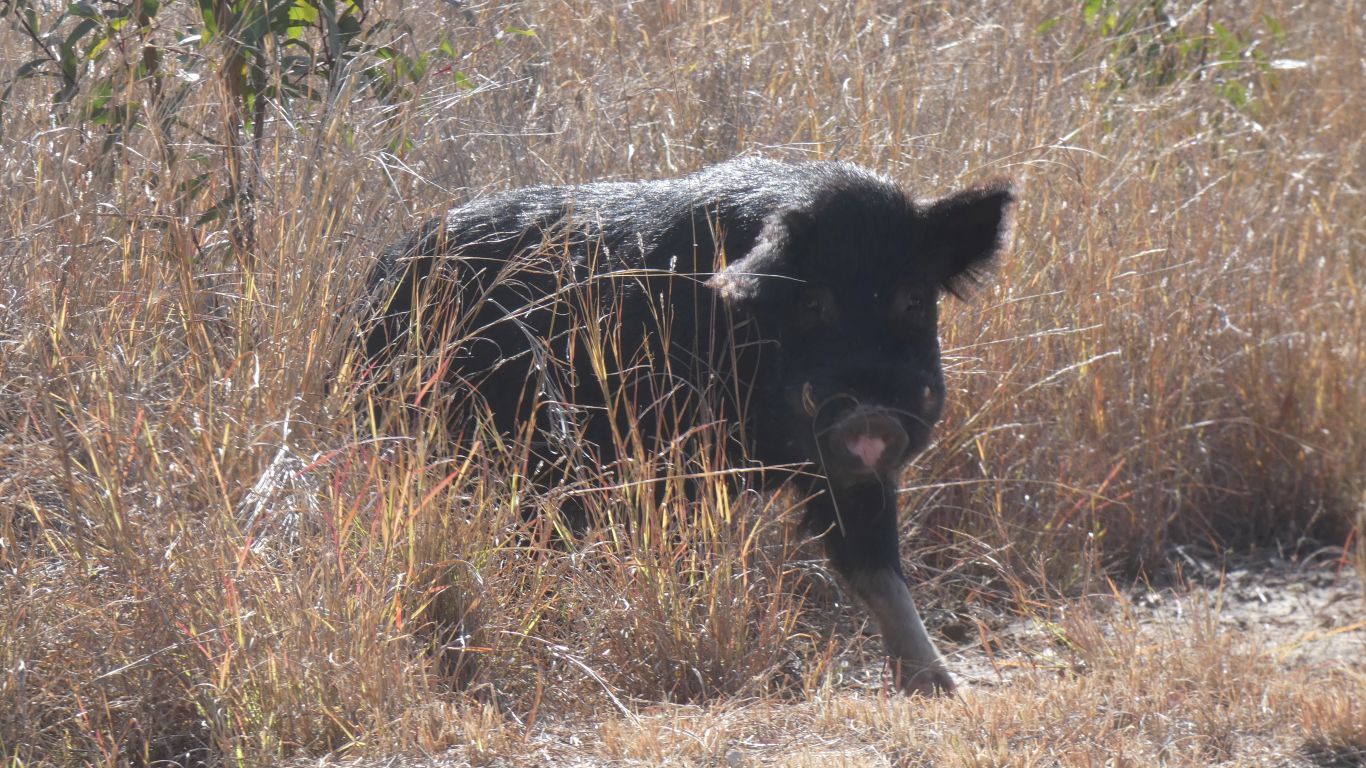
I could see the cogs turning in its brain as it assessed its situation.
Before it grunted, squealed, and ran away into the grass. I must be really intimidating!
Beef steak for tea!
The road is drying but was still softish after the rain. The road out should be ok for us tomorrow. There are two deep gullies to cross, at One Mile Creek, and Brumby Gully.