| |
|
|
| Carnarvon National Park, Salvator Rosa, Short Walks |
 |
August 4 2023 |
| |
|
|
 |
|
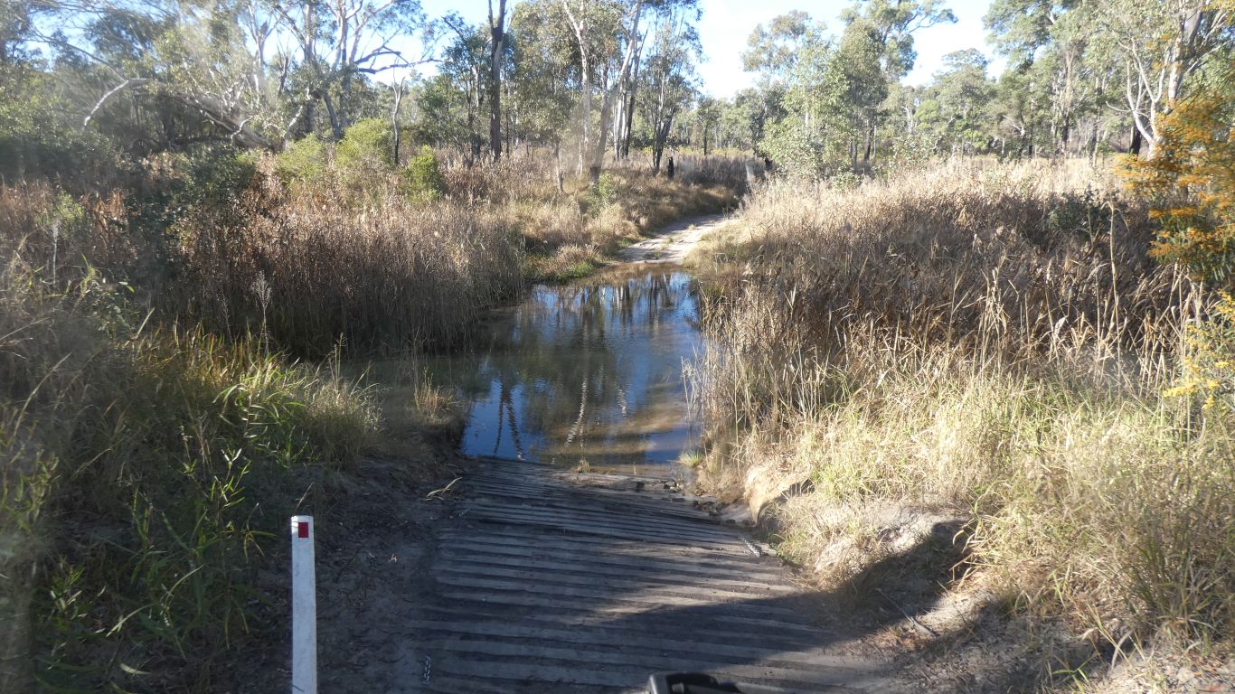
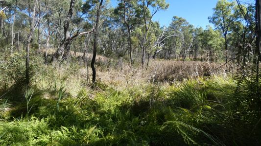
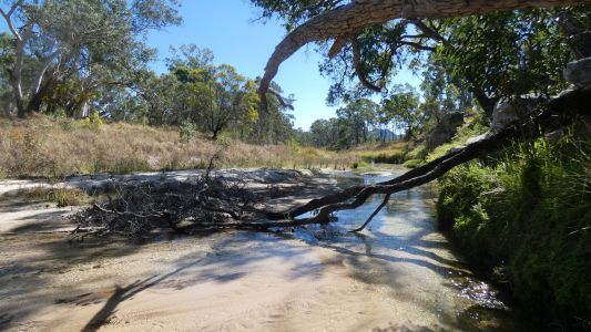
Today a tour of the park, south of the camping area. A
very minor obstacle, a crossing of the Nogoa River.
Not as bad as it perhaps looks. Water halfway up my shin. |
| | | |
 |
|
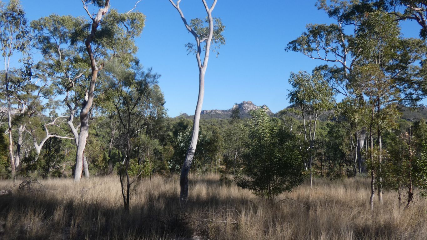
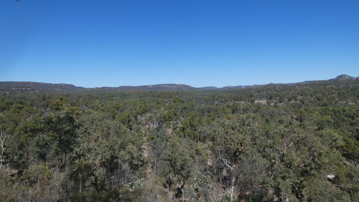
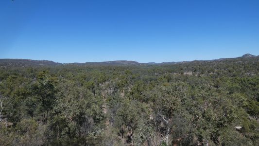
We are in a wide valley. With glimpses of surrounding
hills. |
| | | |
 |
|
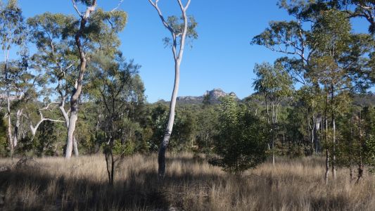
Spyglass Peak is in the middle of the valley. Just passing.
Our strategy is to drive as far south as we can, walk a bit further south,
then stop at places on the return. |
| | | |
 |
|
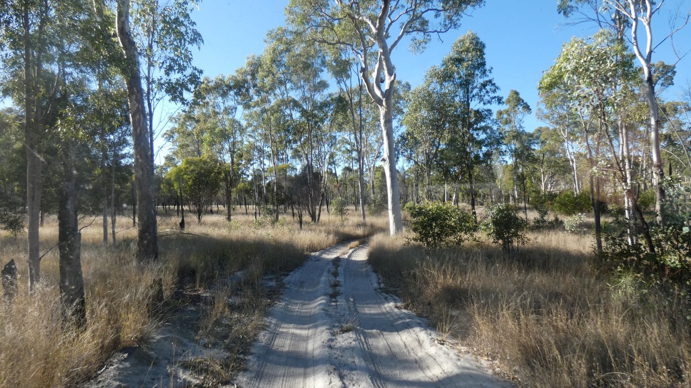
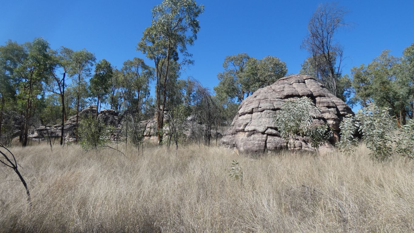
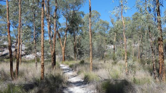
Softish coarse sand. A steady plod through open forest. |
| | | |
 |
|
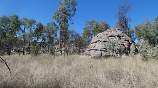
With occasional domes. |
| | | |
 |
|
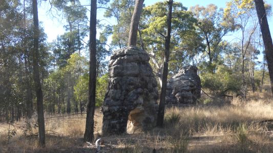
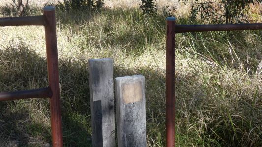
Mitchell Springs is the end of driving. Mitchell's 1846
expedition camped near here. Called it "Pyramids Camp". He returned later
the same year and established a base camp. With yards. |
| | | |
 |
|
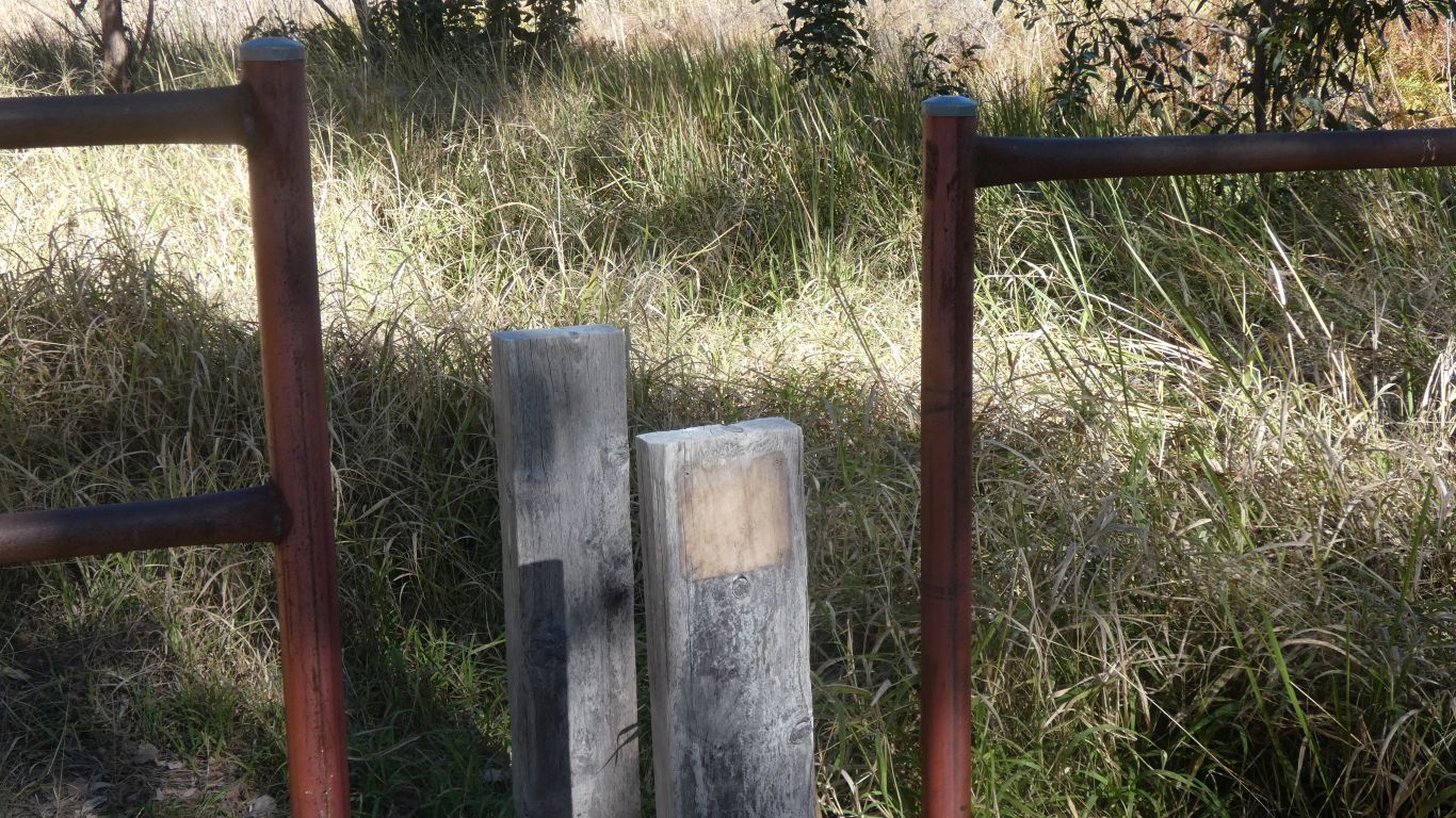
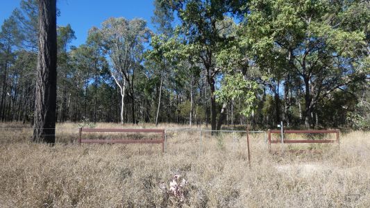
The track continues beyond a locked gate. I ponder what
the missing sign may have said. |
| | | |
 |
|
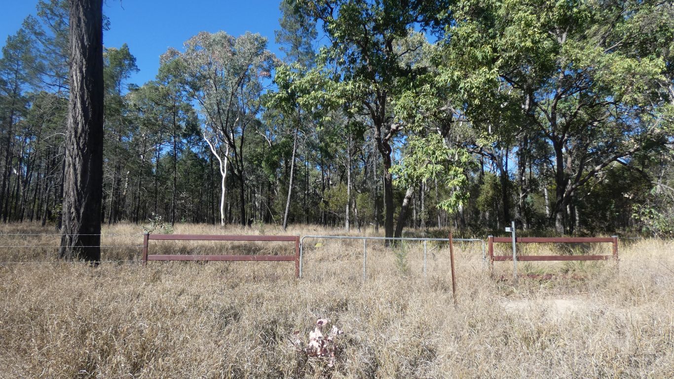
A second gate, about 1km along the track. Where the map
says there's a gate. |
| | | |
 |
|
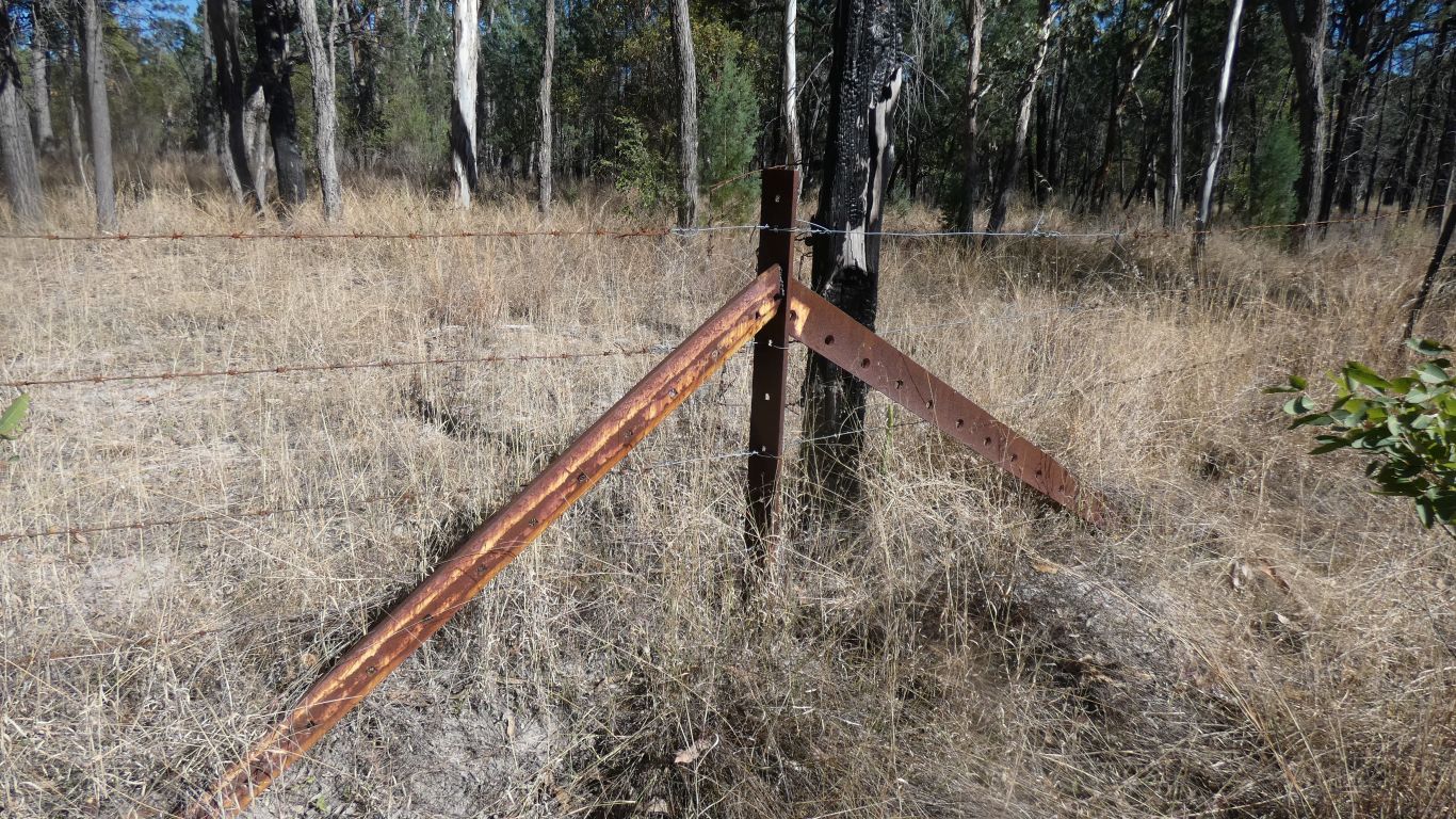
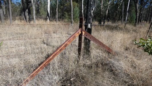
We don't go through the gate, there's no recognisable track
on the far side. So we just follow the track we are on along the fence line. Some
interesting bits of steel, repurposed as fence post support. |
| | | |
 |
|
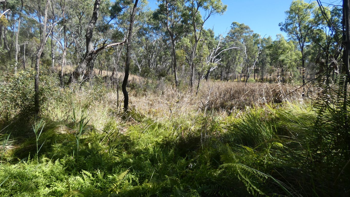
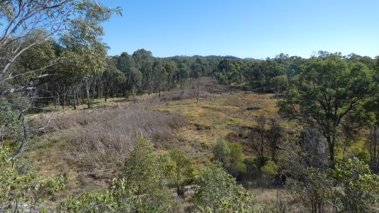
We could glimpse "the pyramids", conical hills, through the
trees. But no useful pic. Turning round after a couple or more km, just before we
reach the truck we climb up a rock.
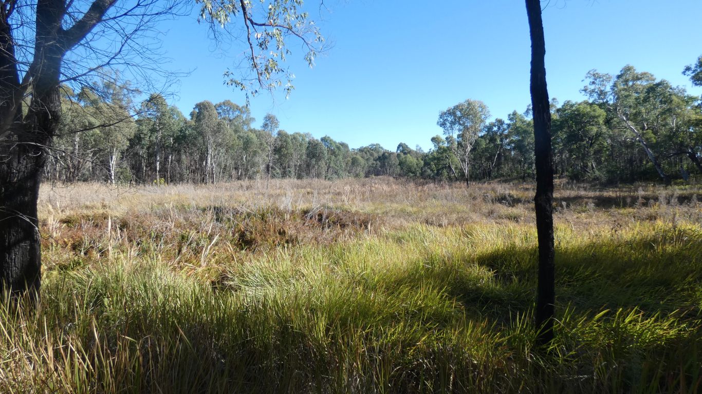
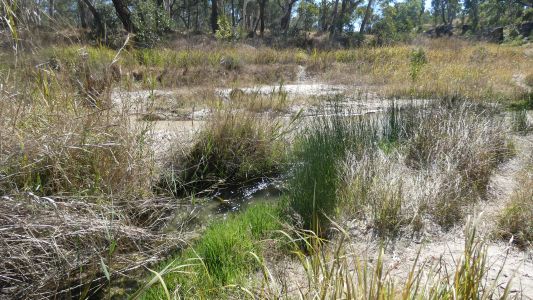
We look out over the springs.
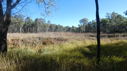
We notice the tall (brown) reeds, which need water, and the shorter
(green) grass which seems to just need damp. |
| | | |
 |
|
The water flows underground, through sand, and resurfaces
at Belinda Spring. Its hard to take a pic of flowing water, particularly
with so many shadows.
Best described as a strong flow ... a lot of water. |
| | | |
 |
|
We climbed up the 128 steps, cut into the coarse sandstone
(including small pebbles of conglomerate) to the top of Homoranthus Hill
for a panoramic view. We haven't agreed on how many steps ....
Its not yet Spring here, we are too early for the
homoranthus flowers. A speciality of the area.
Looking south. In the general direction of Louisa
Creek (and Mitchell Springs). |
| | | |
 |
|
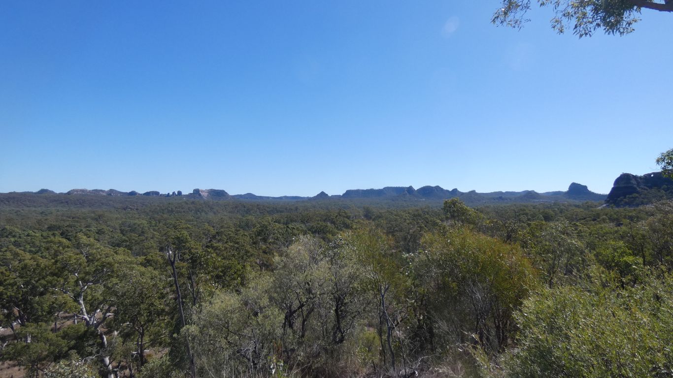
And looking west. In the general direction of Nogoa River.
None of the regular flat topedness of hills we have become used to. |
| | | |
 |
|
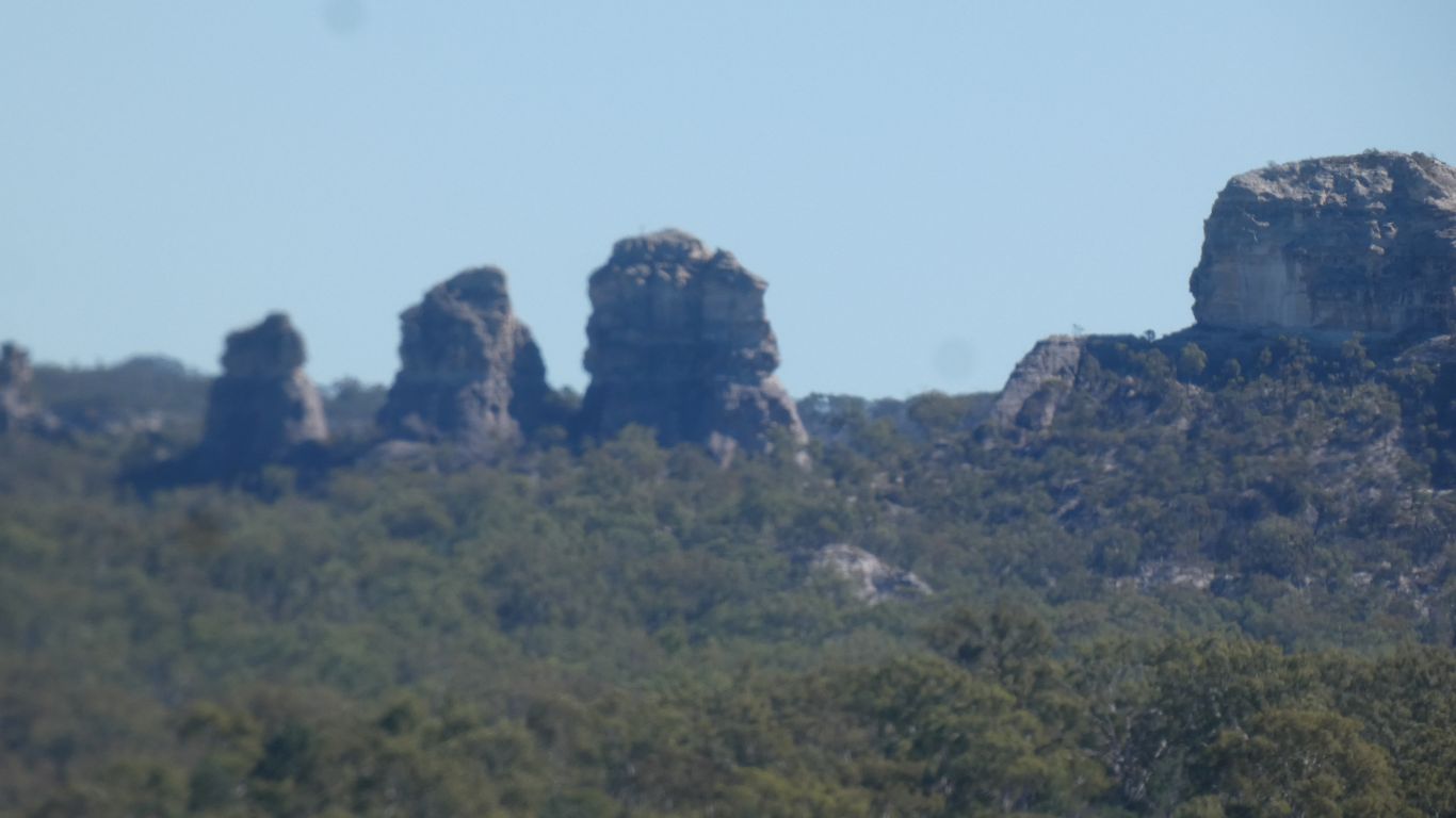
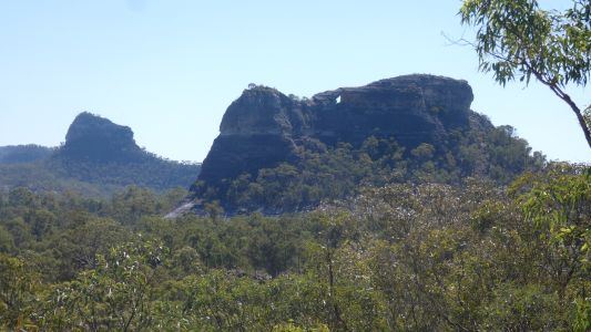
Zoomed in on the three sisters. About 4km away. How many
"three sisters" are there in the world? |
| | | |
 |
|
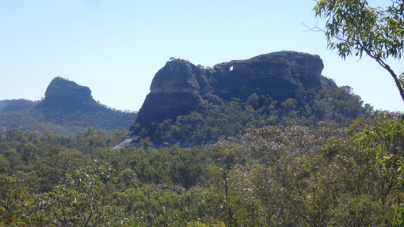
Spyglass Peak to the north west. |
| | | |
 |
|
Onward to "the junction". Where Louisa Creek meets Nogoa
River.
There is water flowing from both. Louisa the stronger. |
| | | |
 |
|
Flowing north as the Nogoa River. |
| | | |
 |
|
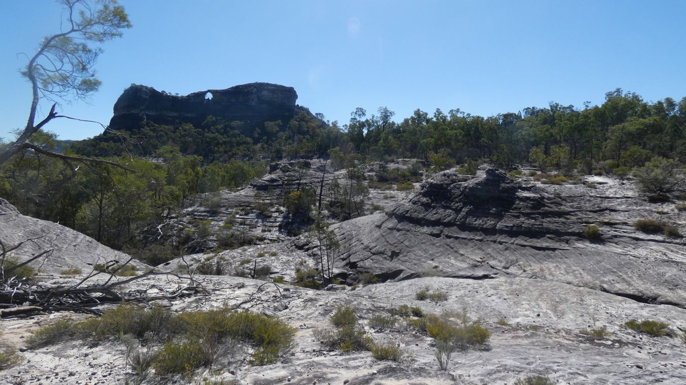
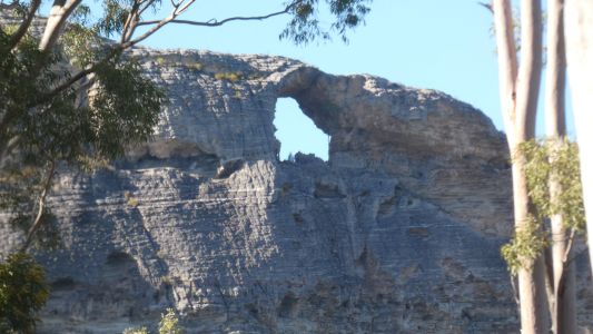
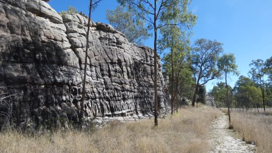
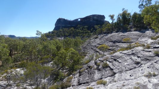
The walking track at Spyglass Peak takes a detour past "Hadrians
Wall". An eroded sandstone ridge.
At least 100m long, and a couple of meters wide. |
| | | |
 |
|
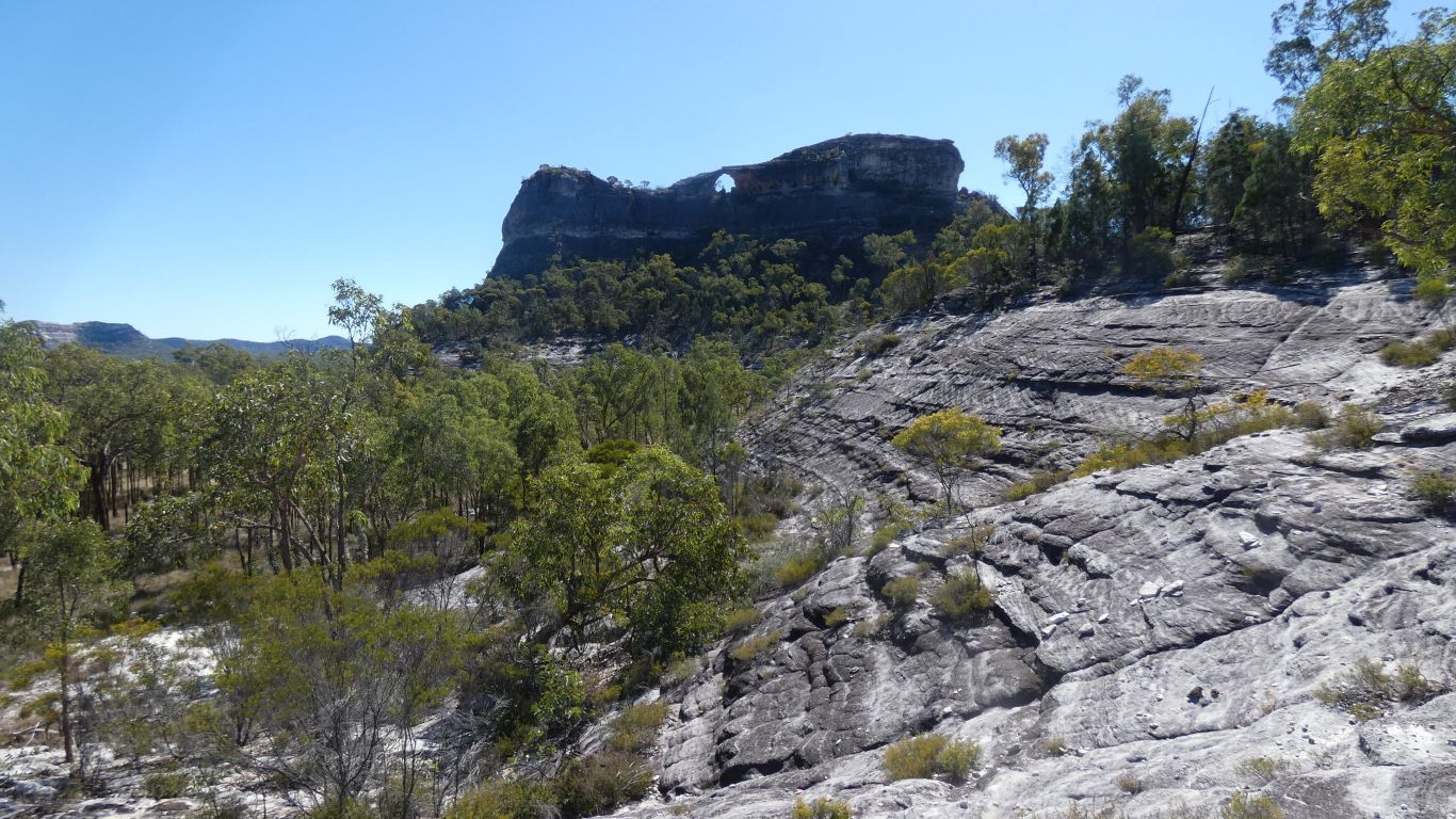
Higher on the other side, a step in the plain. Complete
with patina, like most of the formations we are seeing. |
| | | |
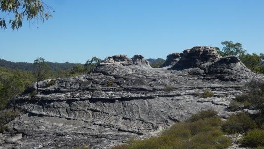
 |
|
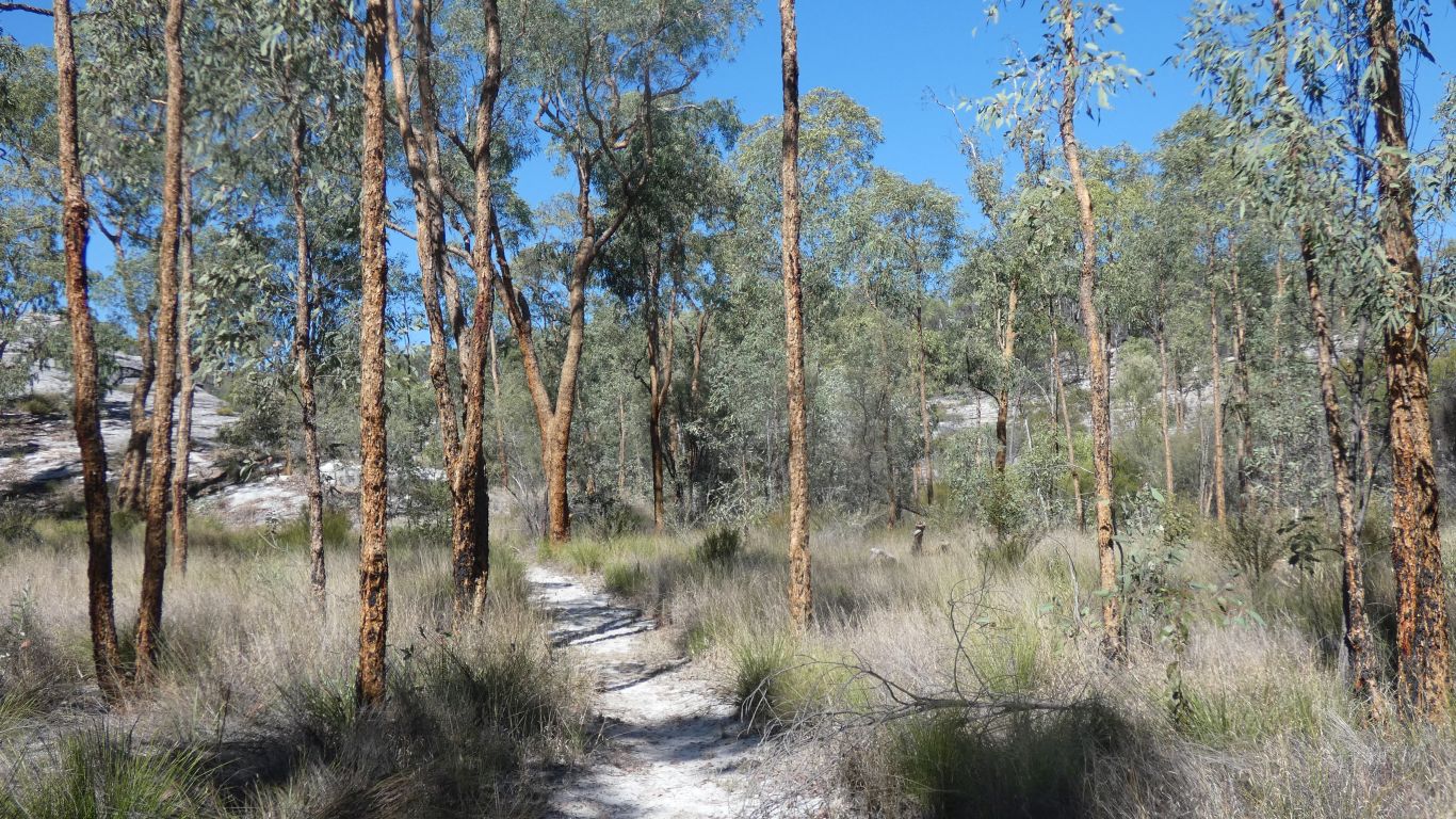
The track describes a loop. Past domes. |
| | | |
 |
|
With some unusual (to us) cross bedding in the bedding
planes. |
| | | |
 |
|
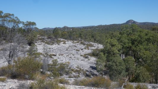
The sandstone is tilted, away from us and to the left.
Successive layers forming a slope. Easy to walk on, the track marked by
yellow painted arrows. |
| | | |
 |
|
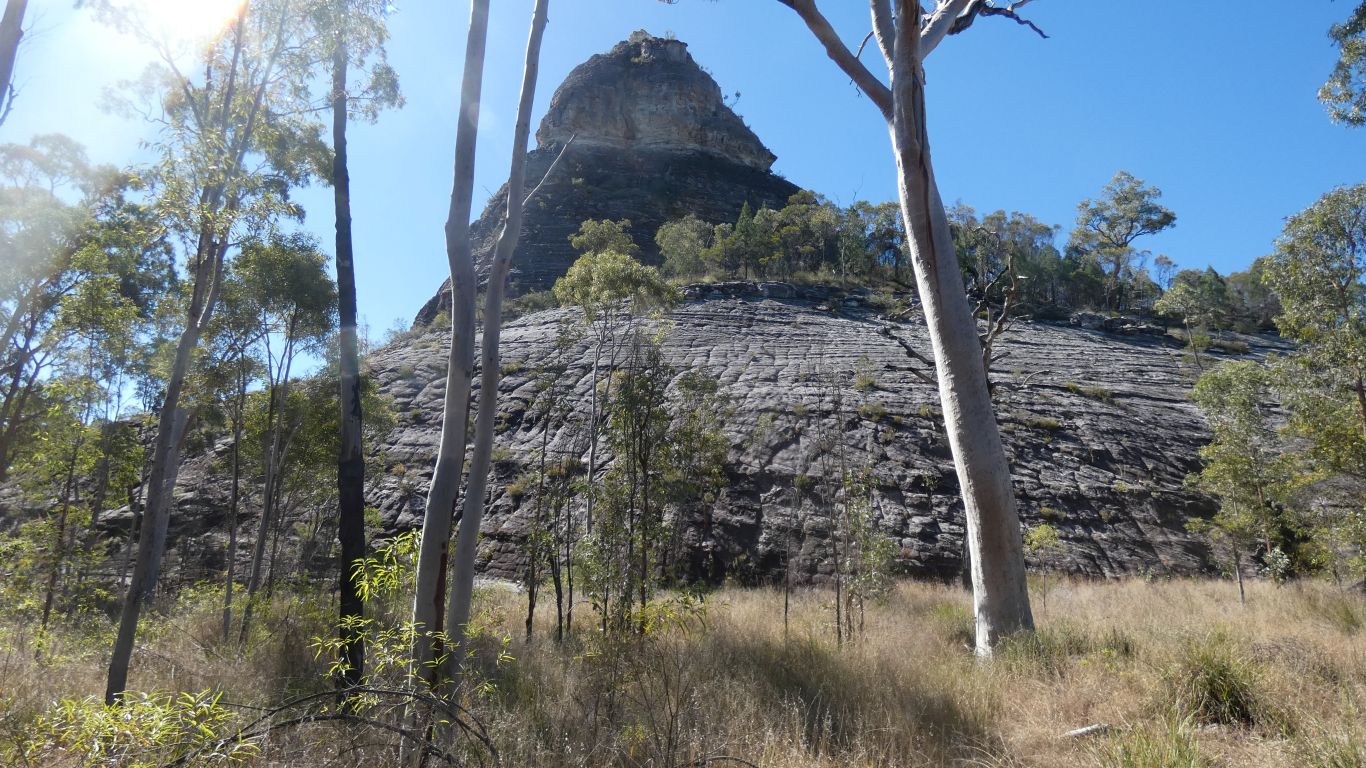
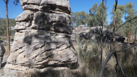
Providing a view of spyglass peak.
548m. Lower than the mountains to our east.
But more interesting (to
us) than the peak .............
...... like splodges (should be a geological technical term) of
solidified mud but are eroded rock ...... |
| | | |
 |
|
..... every which way ..... |
| | | |
 |
|
...... bedding planes that here slope down to our right.
Land that has been tilted. Several times. Presumably an effect of the
volcanic activity to our east. We are
seeing the edges eroded away to form the slope we walk on. |
| | | |
 |
|
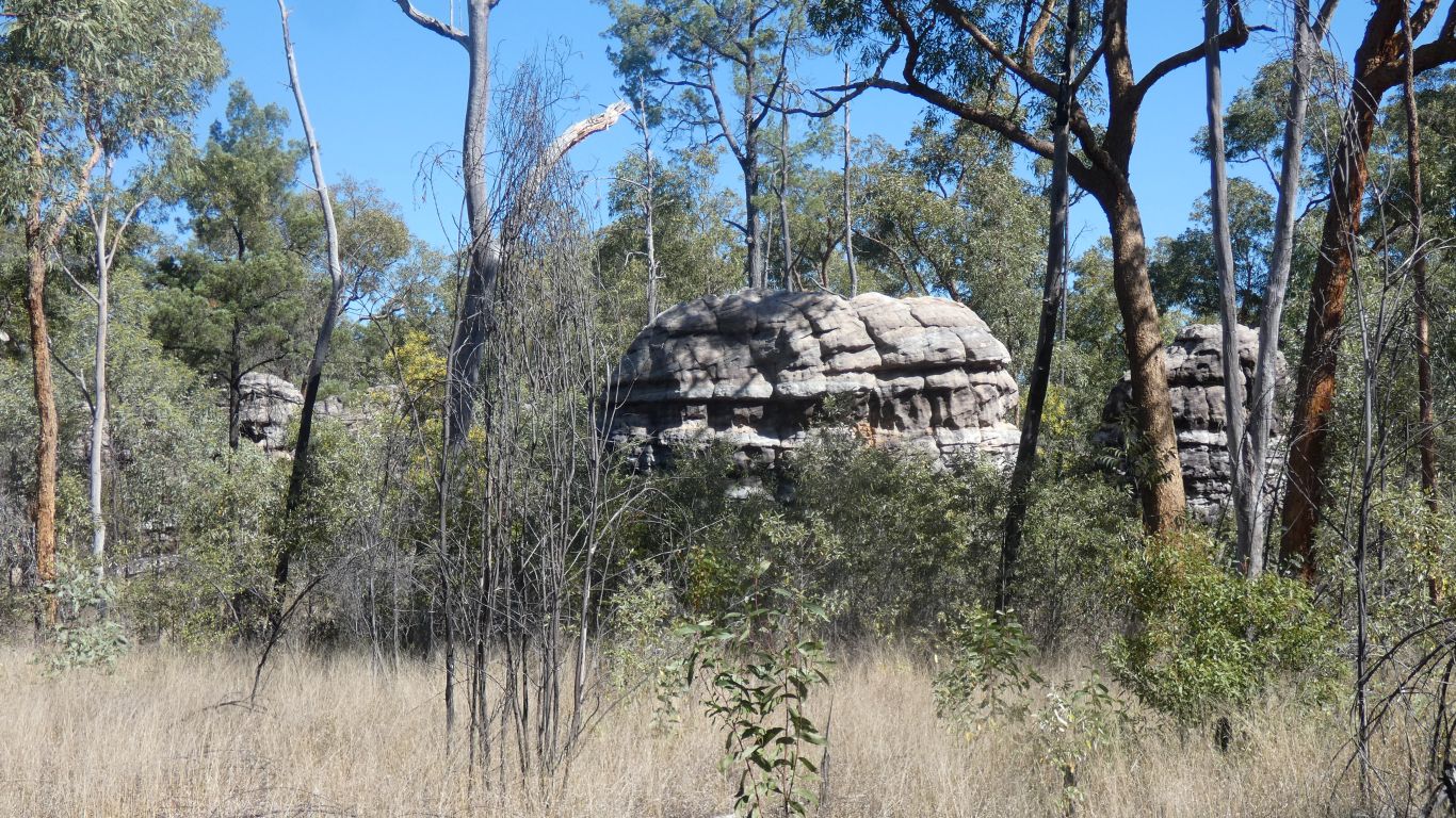
Yellow Jacket dominate in this small area. |
| | | |
 |
|
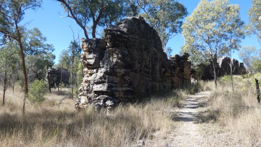
About now I am reminded of Angkor Wat. The rock
formations reminiscent of parts of temples overgrown and hidden in dense bush. |
| | | |
 |
|
A last view of the peak, we are within 50m of the base. |
| | | |
 |
|
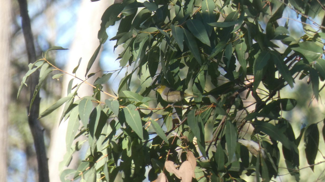
Evening walk, near the campsite. It took a while to capture
a pic of a grey-breasted white eye. A small flock, always on the move. |
| | | |
 |
|
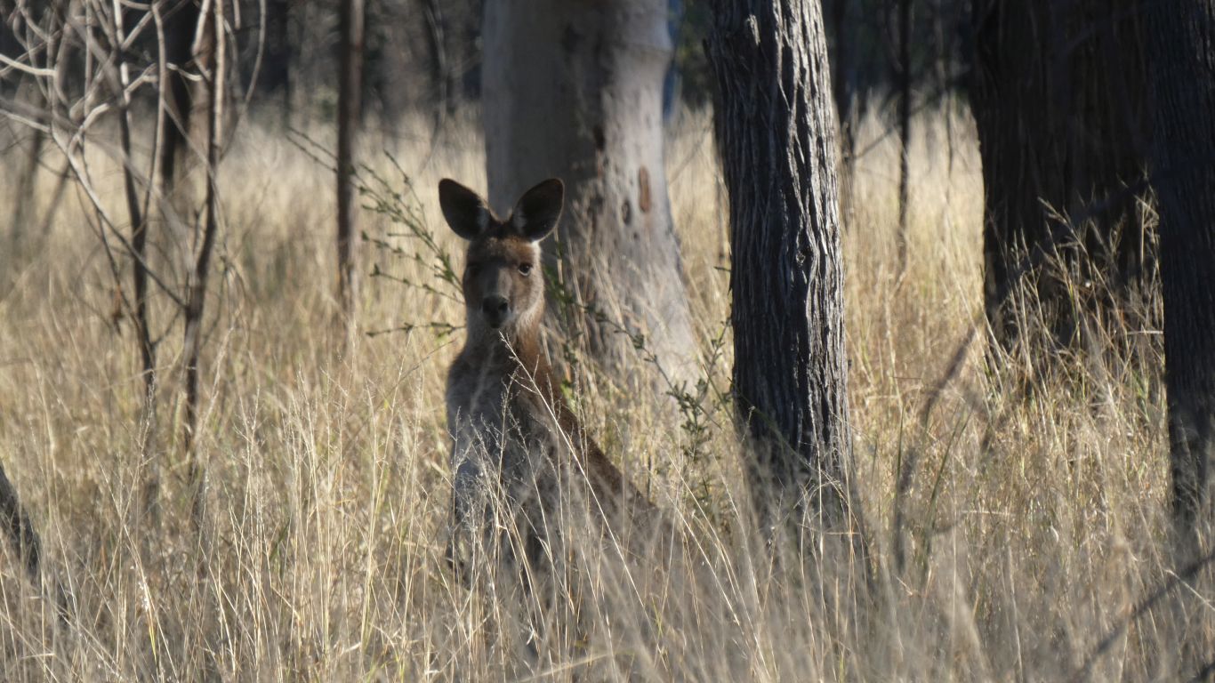
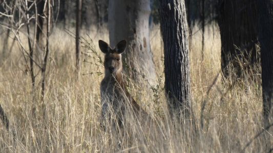
And a kangaroo. Perhaps we need a "macropod book",
or "marsupial book", to go
with the "bird book". And maybe add a "grass book" and a "fungus book",
along with a "reptile book". To say nothing of a "tree book",
and "wild flower book". And that's before we got to geology ...... |
| | | |
| Carnarvon National Park, Salvator Rosa,
The Yard! |
|
August 5 - 6 2023 |
| | | |