Its about 25km from Nogoa River Camp to Bunbuncundoo Spring Camp in Ka Ka Mundi section of Carnarvon Gorge National Park.
We will have to drive all the way north to the Dawson Development Road, along it for about 15km, then south again. Total of about 170km.
We get to admire the northern edge of the park. From the outside.
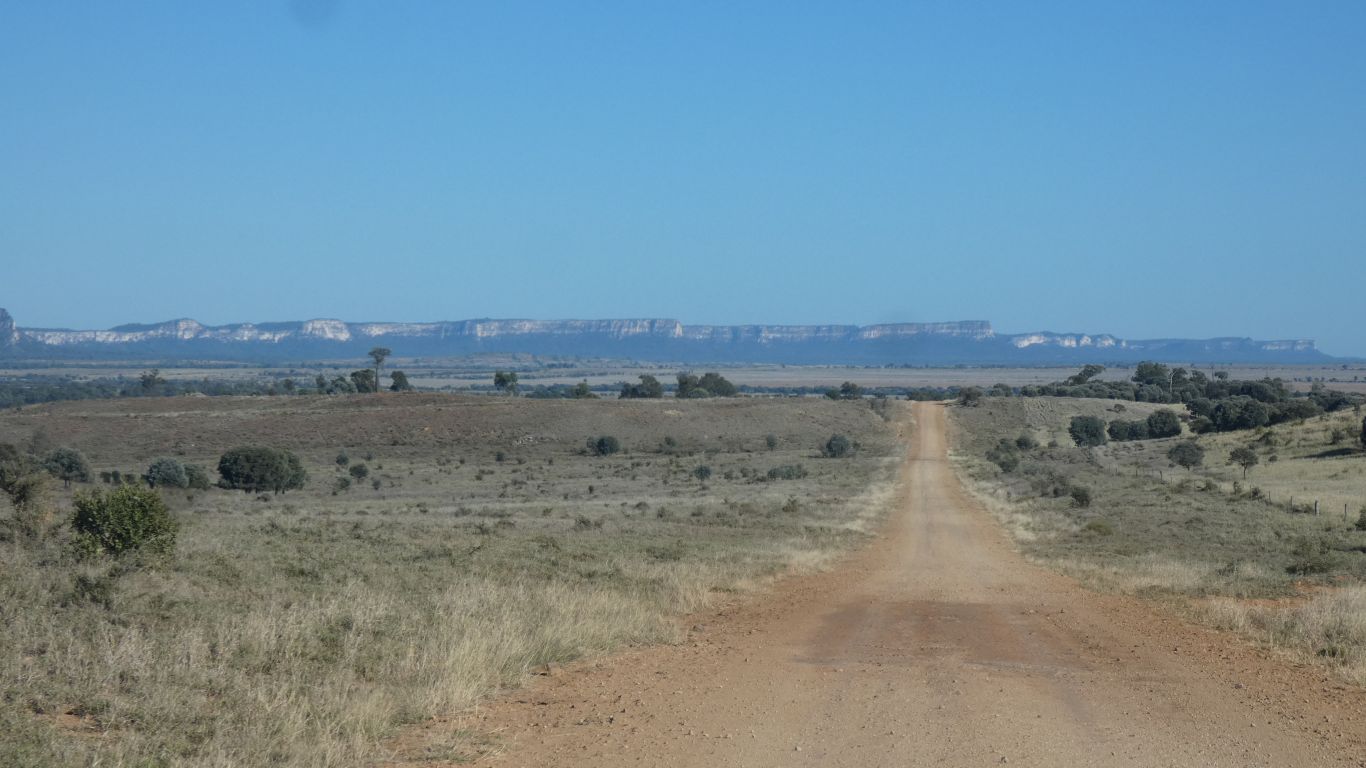
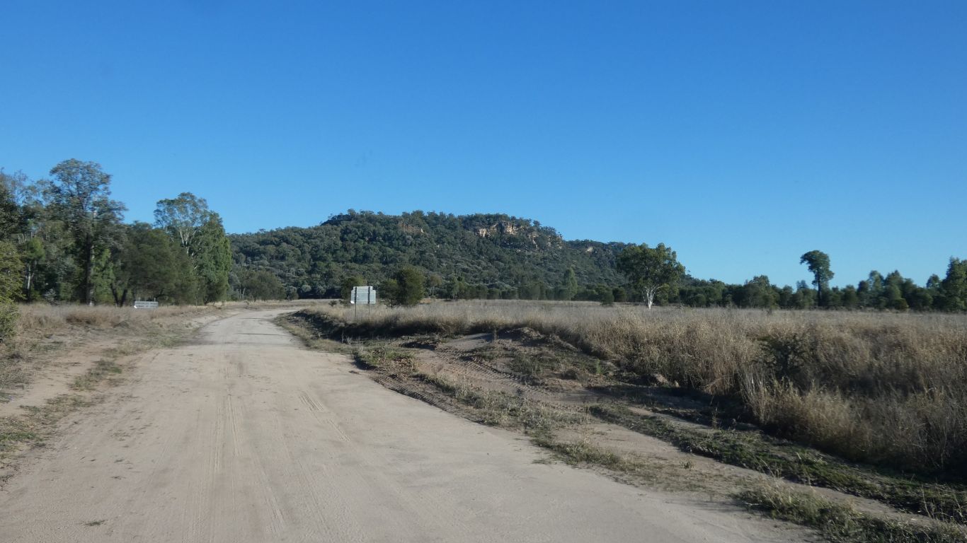
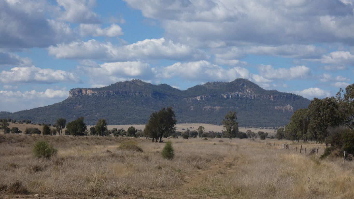
We will enter Ka Ka Mundi (we have no idea of the origin of the name) somewhere to the right of those mountains.
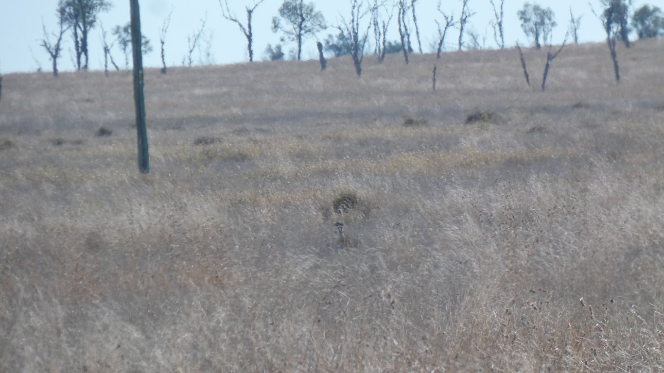
I have been looking for bustards ever since we disturbed one at Nuga Nuga.
This time there were three, at the roadside.
They did what bustards do well, they flew off, a short distance, to hide in the grass.
This time the camera was almost ready.
We've seen patches of what we think are (golden) Mitchell Grass. This a lot darker.
Still to the right.
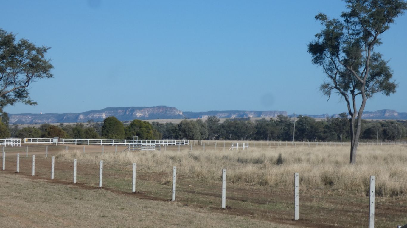
We've seen double fences, with laneways for cattle movements in between, but never so many as on this station. Not on the boundary though.
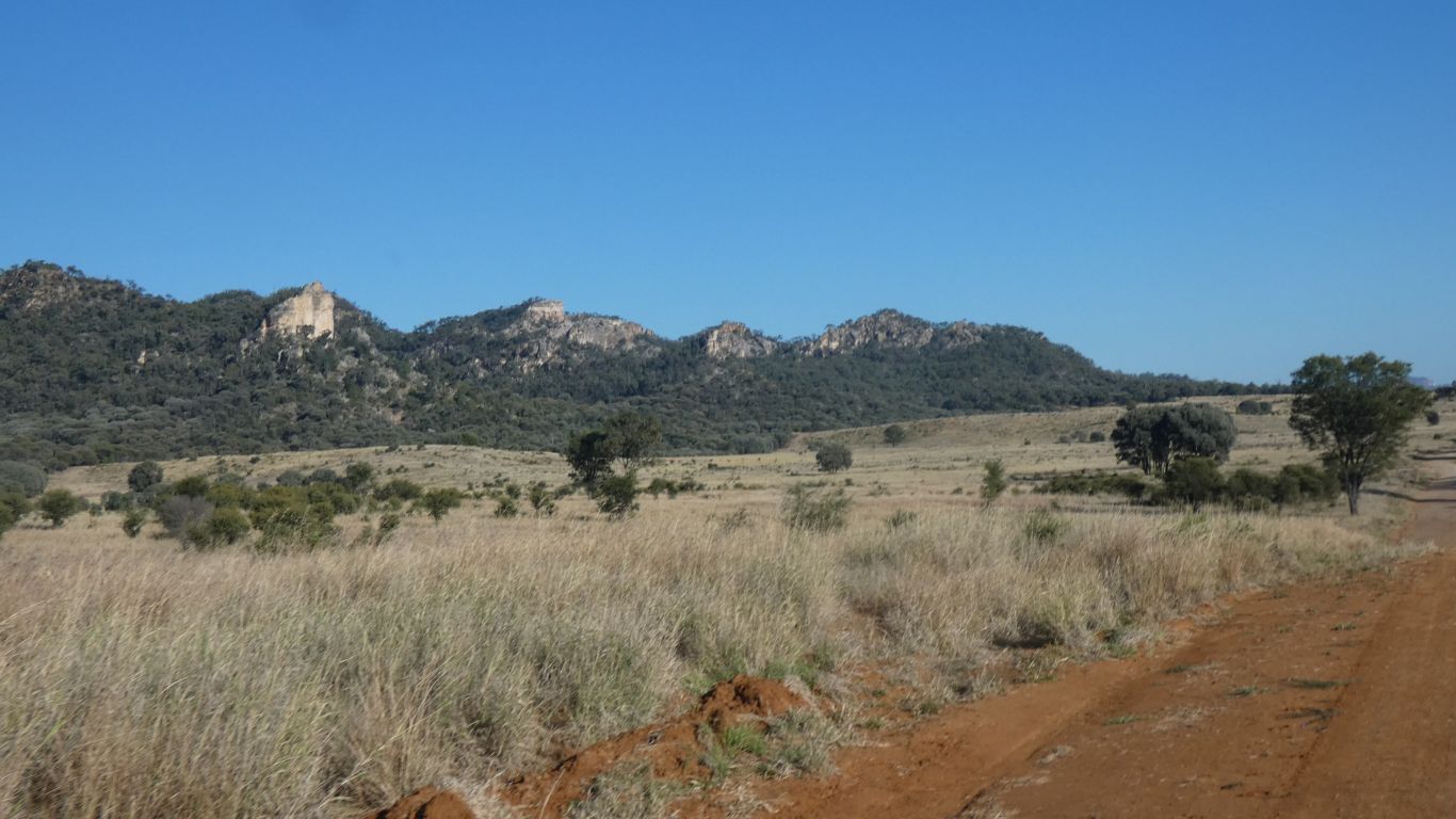
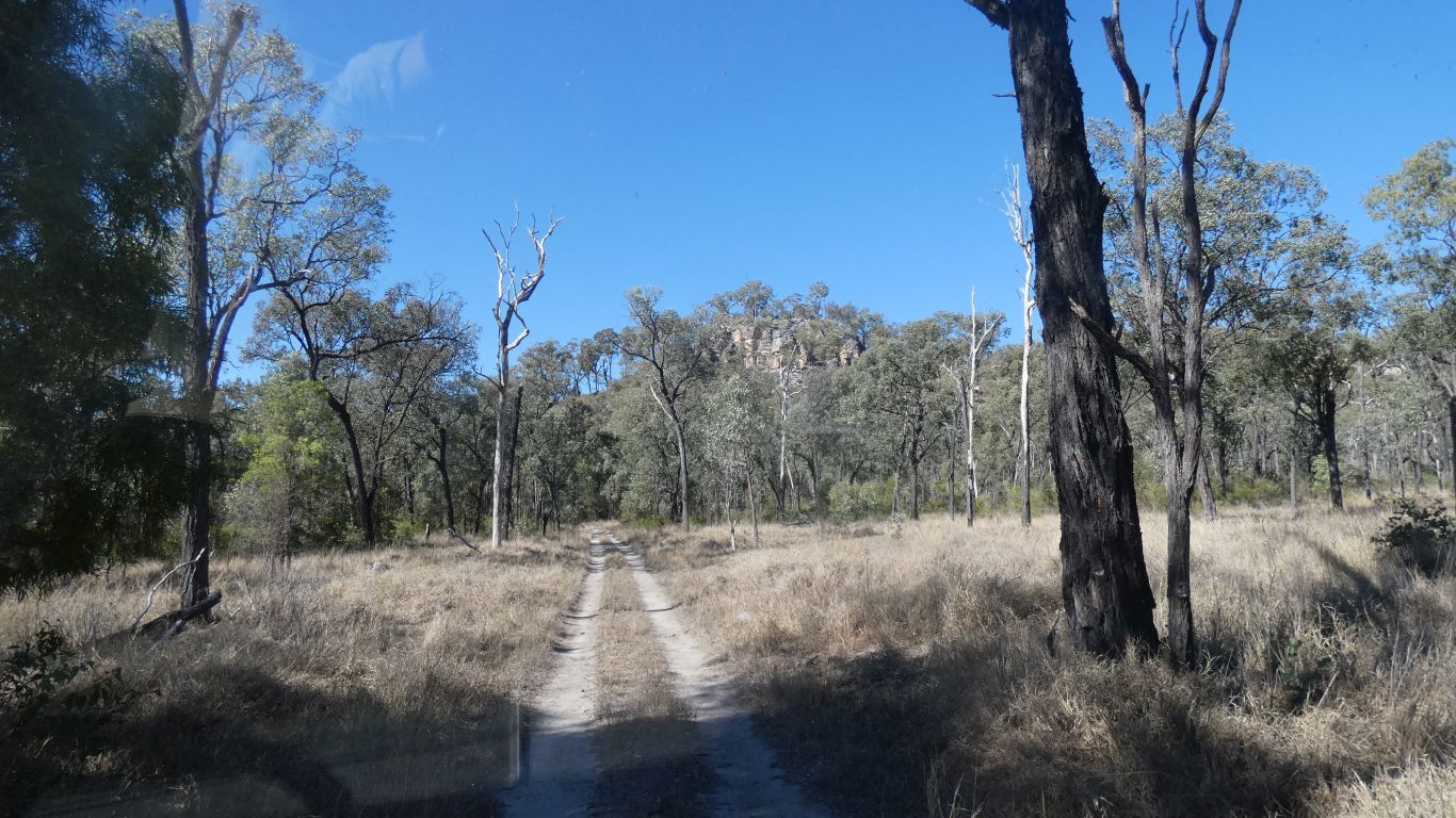
Destination about 25km, somewhere in those hills to the left.
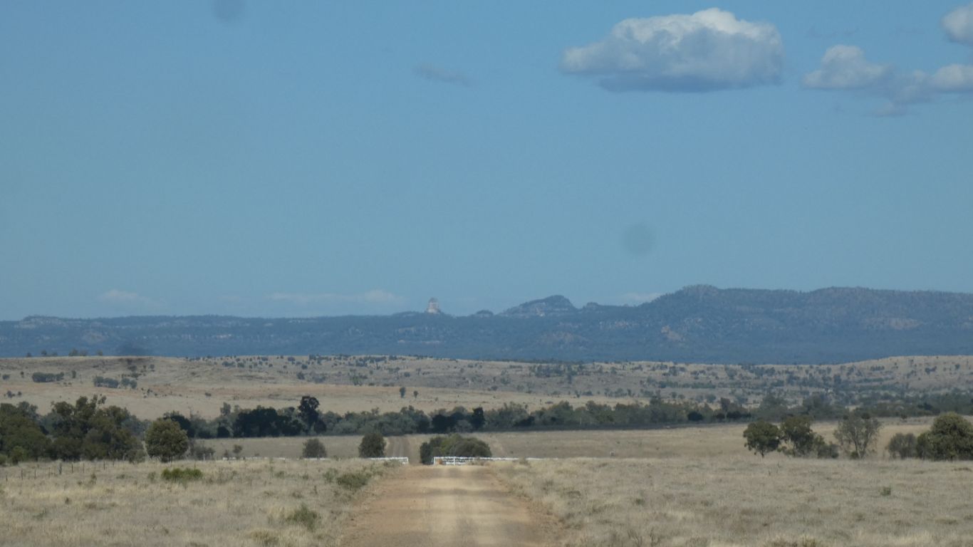
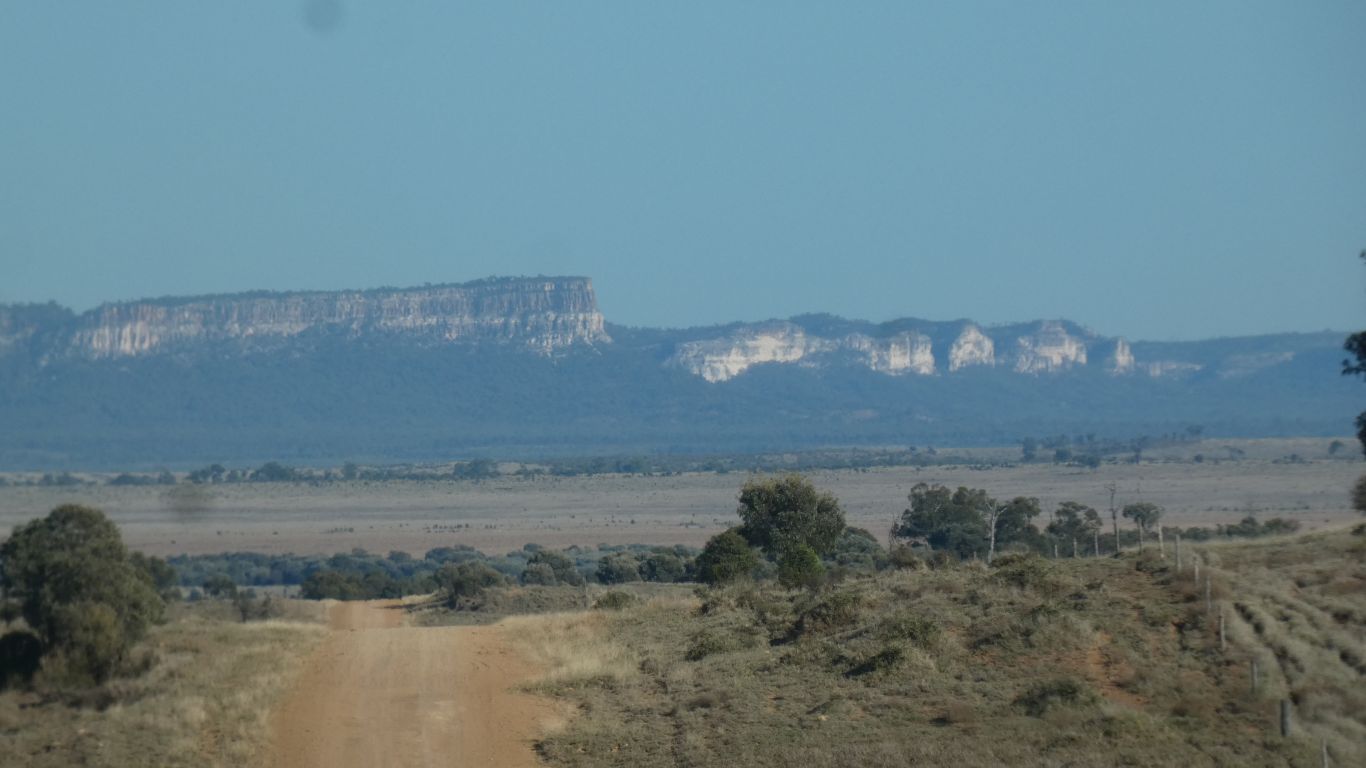
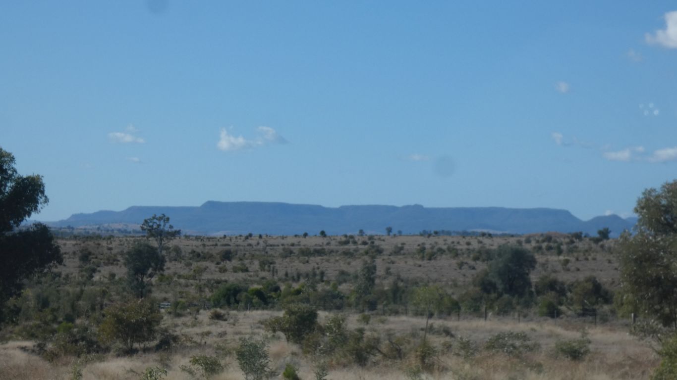
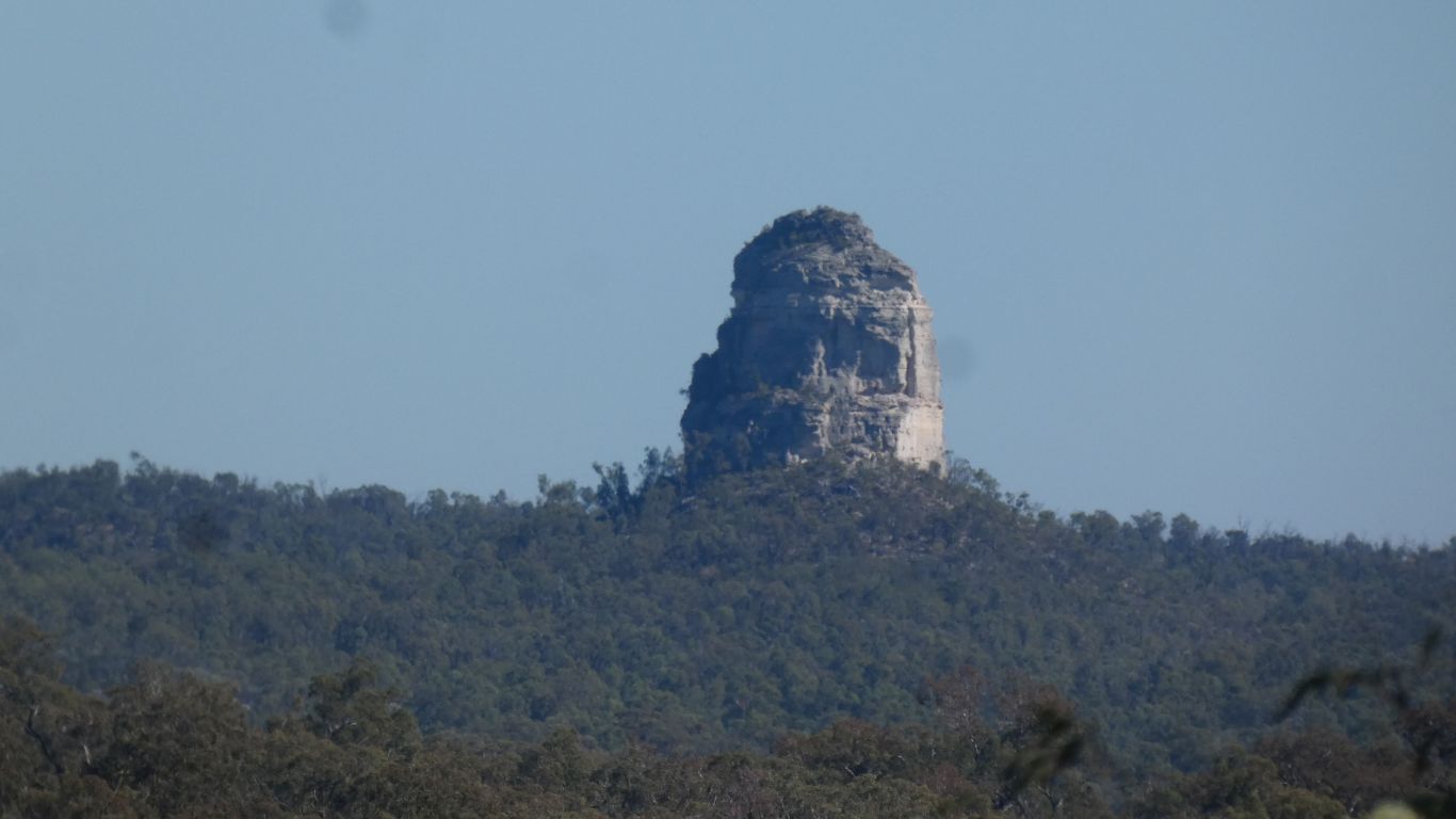
In the centre of pic, on the horizon, is the sore thumb of Mt Mooloolong (767m). Our camp is about 6km to its east.
Trees, perhaps, probably, most likely ...... brigalow, among the gums.
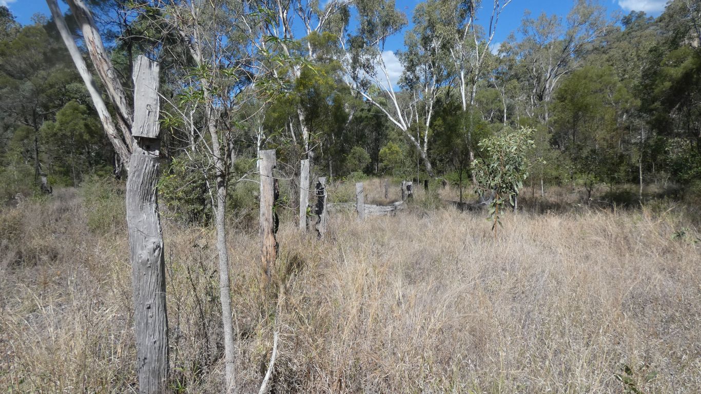
An easy to see (we tripped over it) derelict yard.
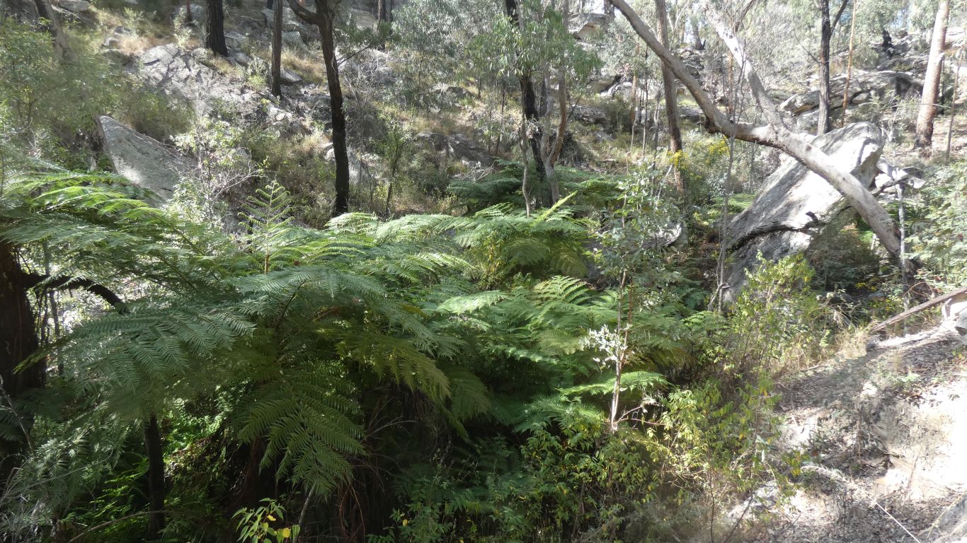
Hidden by well established tree ferns.
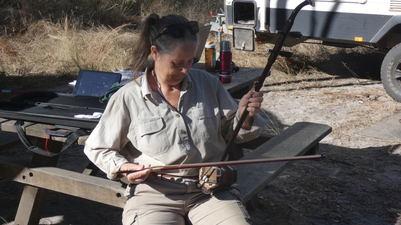
Next morning talking to people we know from a forum.
Learning to play a Chinese Erhu. Two strings, a novel sound box (a snake skin sound board, like a drum), and a bow.
Delight that Ali can make a tune.
Accompanying mutual admiration of the engineering involved in our accommodation as befits a meeting of forum aquaintances.
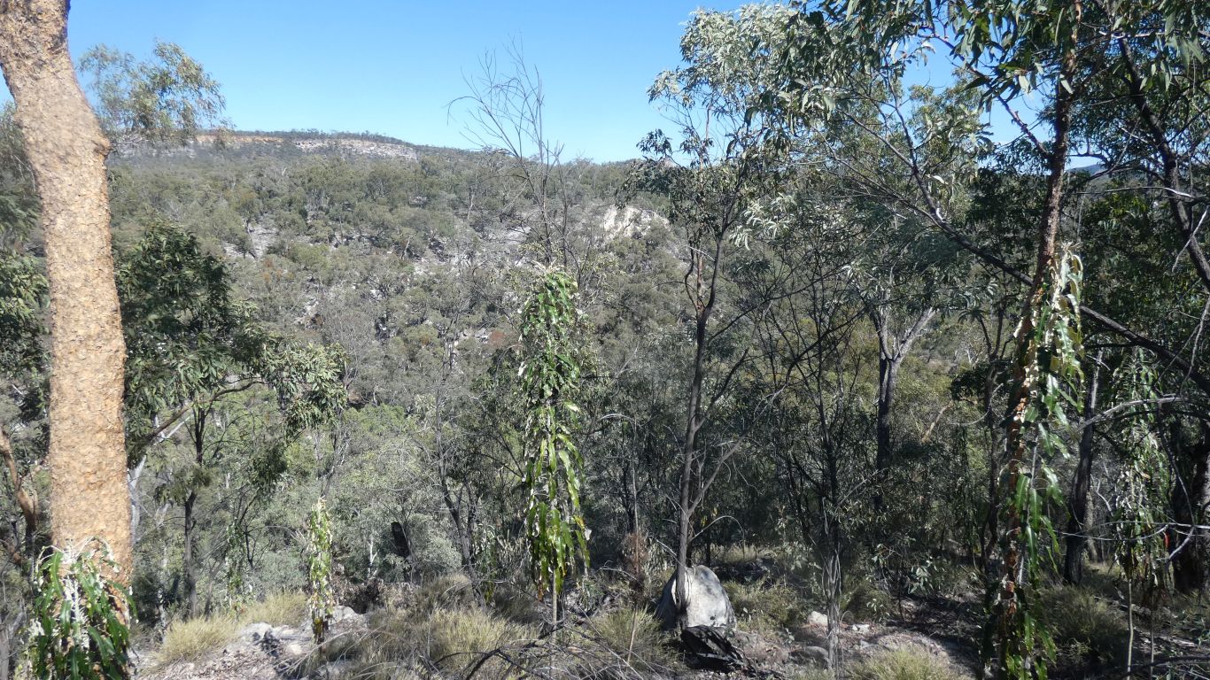
We can look at the cliffs to our south. The spring is somewhere below us.
We talk ourselves out of climbing down to the spring from here, lest we collide with a cliff.
Later inspection from below suggests it would have been relatively easy to aim for just above the spring.
Though of course vegetation would make passing the spring difficult.
We head south, to the edge of the park.
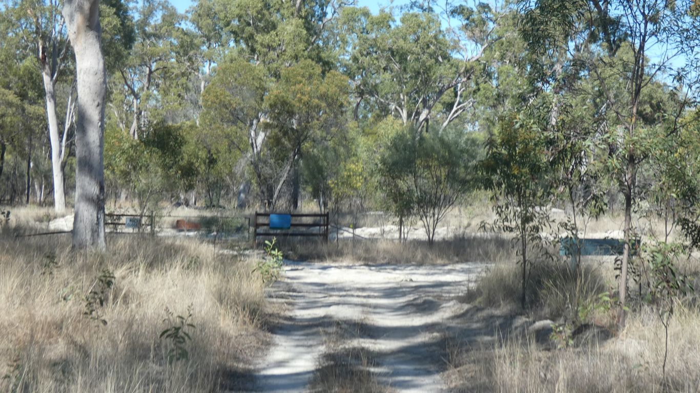
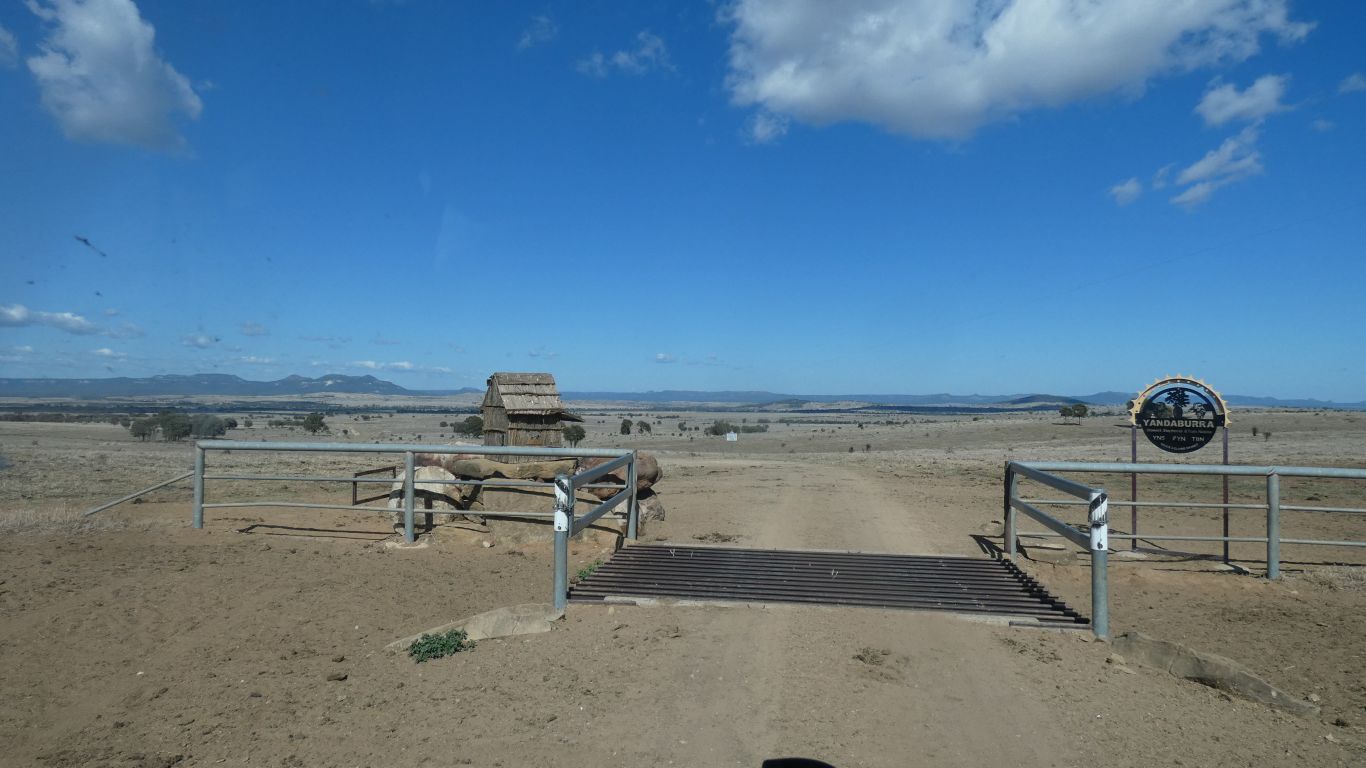
The boundary between the Park and Carnarvon Station ....... which we thought would be accessible through Gee Gee Gap, and also from Morven. Access through this gate with permission only. At 40kph.
Carnarvon Station is owned by a nature conservation foundation. I have an interesting history of the property they had written. The homestead building is about 35km east north east from here for a crow.
This is more or less the top of this part of the Dividing Range. About 660m. The watershed. In front of us, as we look south, creeks begin and flow south into the Warrego River, and thence into the Darling. Behind us they flow north, to join the Nogoa River, and thence to the Fitzroy.
Our driving track logs have been recorded with Oziexplorer on the Lenovo Tablet. Later this day I discovered how very difficult it will be to extract them. I could not find a menu item in the version of Oziexplorer to manage or display them. My laptop with usb connection refused to look at files on the tablet. I used a file manager on the tablet to at least view them. A quirk being that despite the Oziexplorer configuration being metric the track logs have elevation in feet. Multiply by 0.3. Bah humbug .... I'll figure out the rest later.
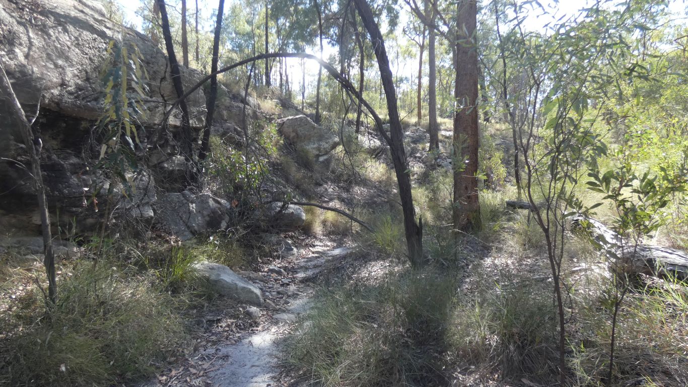
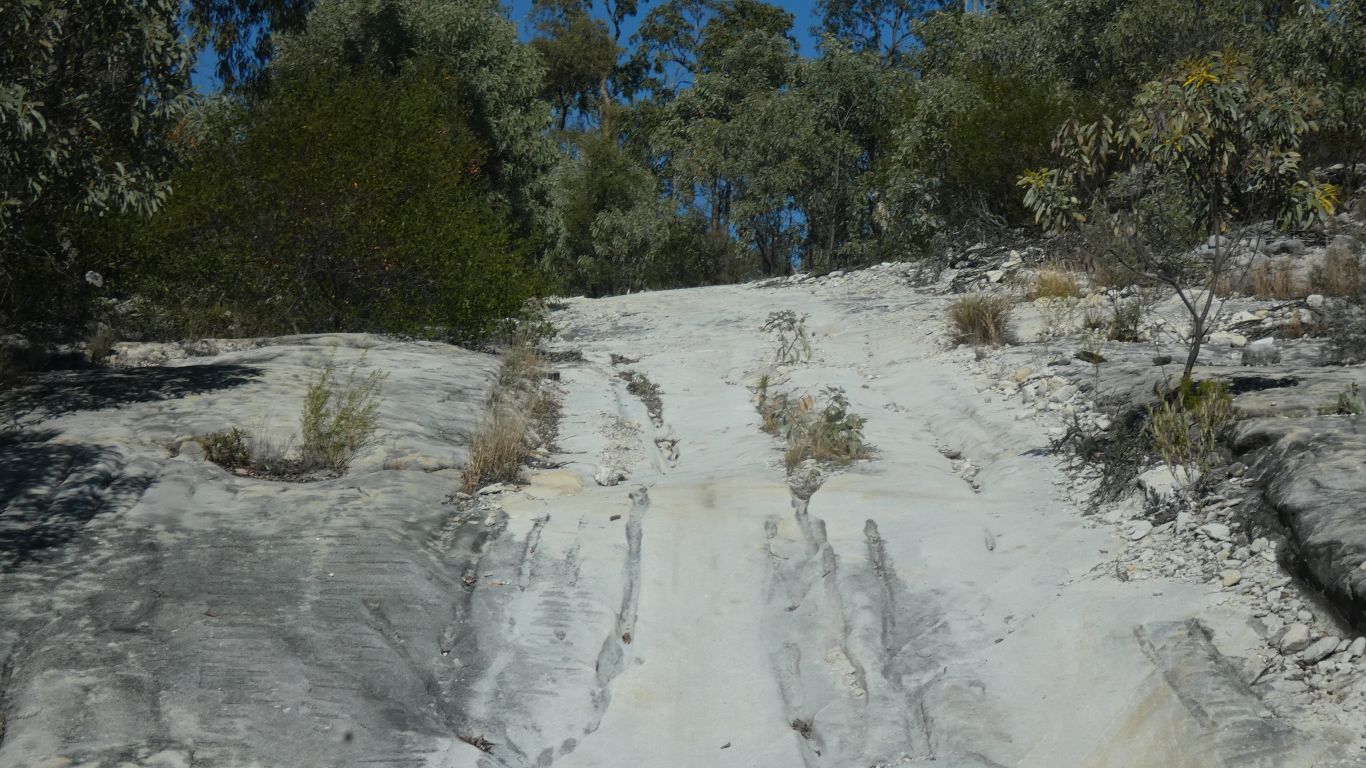
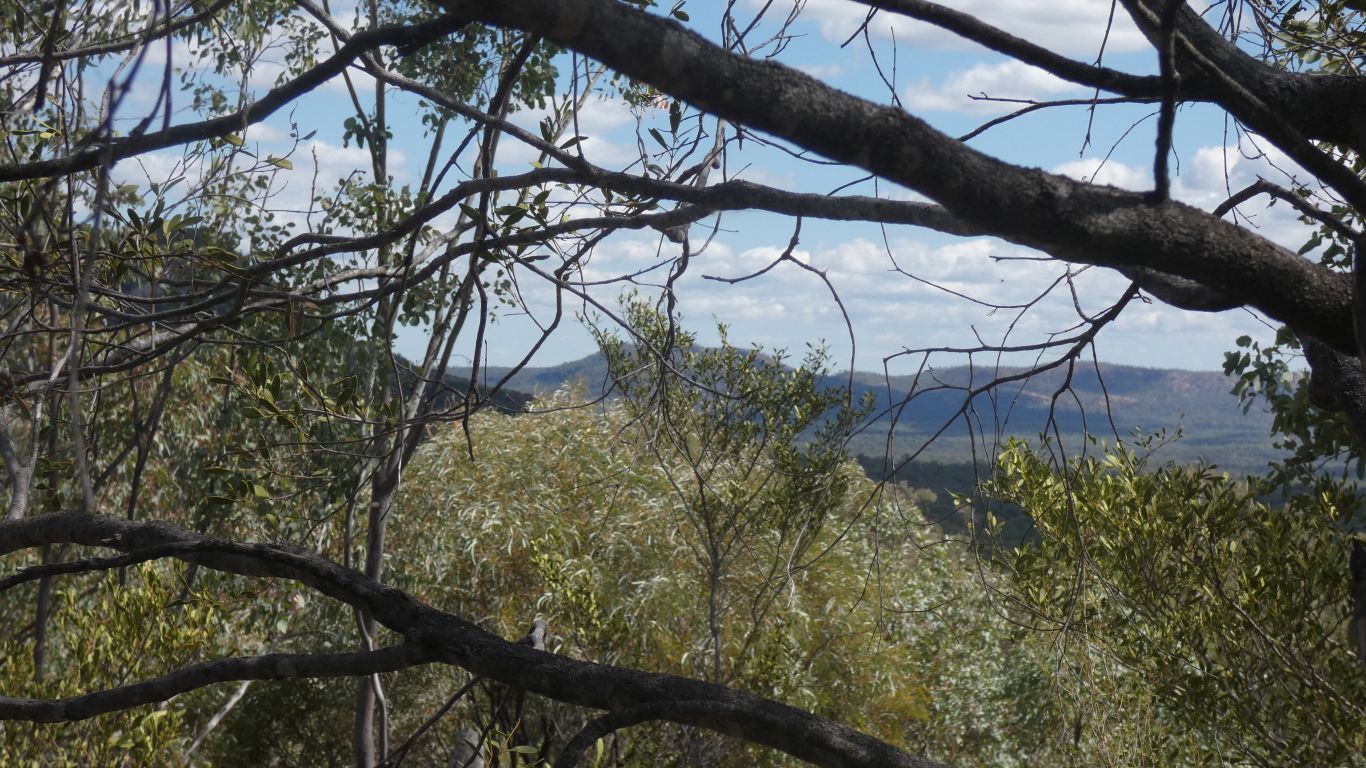
A slow descent of the rocky bit. With a bit of a view.
He was successful. With a bit of track clearing. Thus, we can follow the next day. Our thanks.
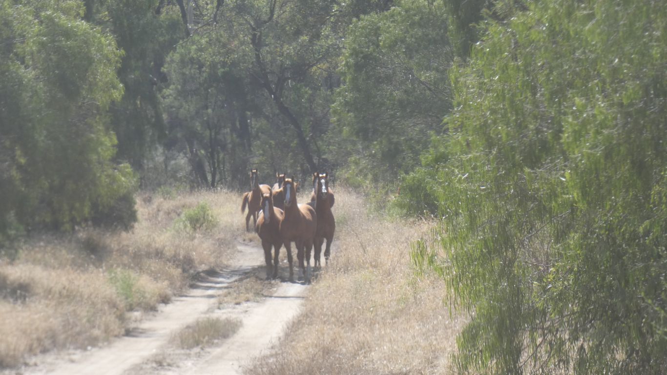
On the main track a small herd of horses. We've seen their droppings. We counted seven horses. They look related. And very healthy.
We stopped about 75m away while they decided what to do. Milling around a bit until they found a way into the bush. Never to be seen by us again.
We followed Col's tracks, with a few minor detours. Straightforward, as reported.
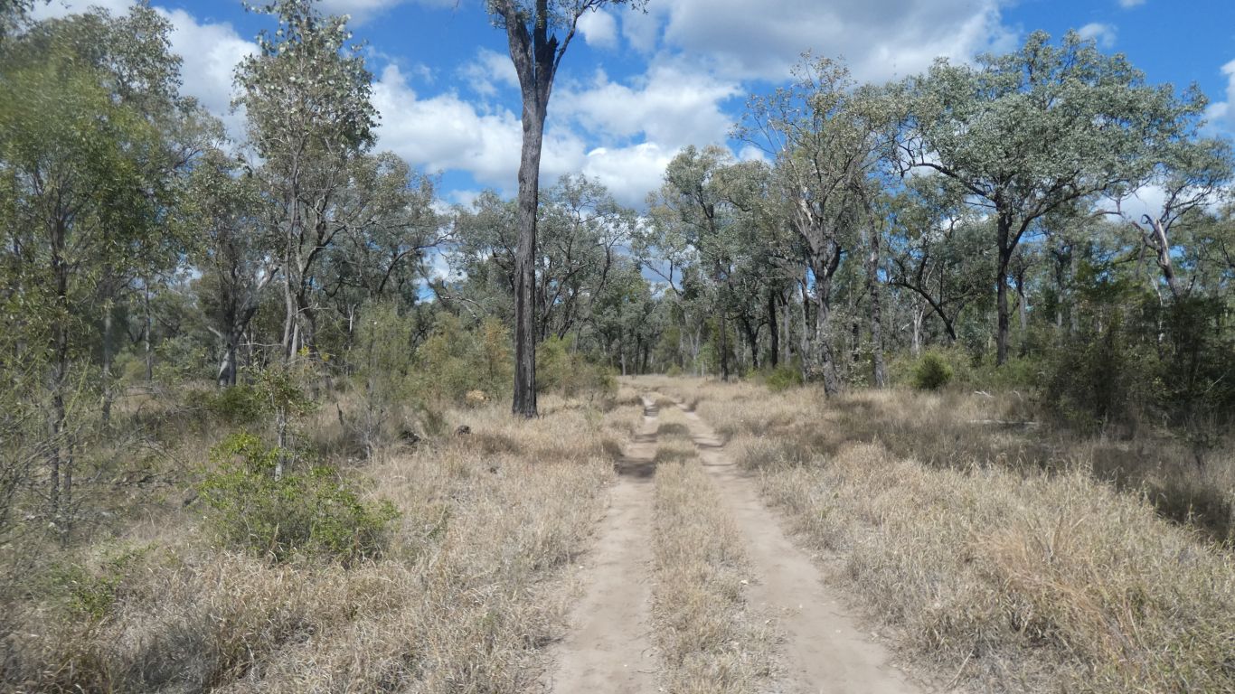
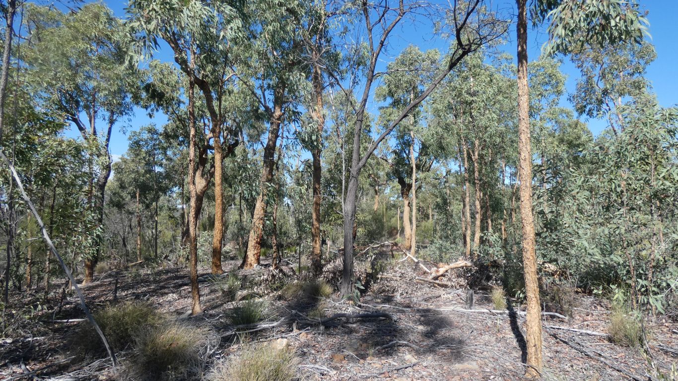
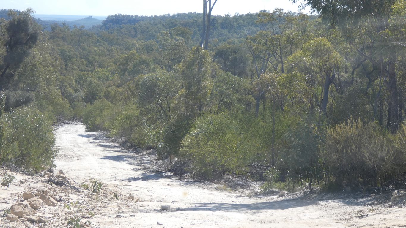
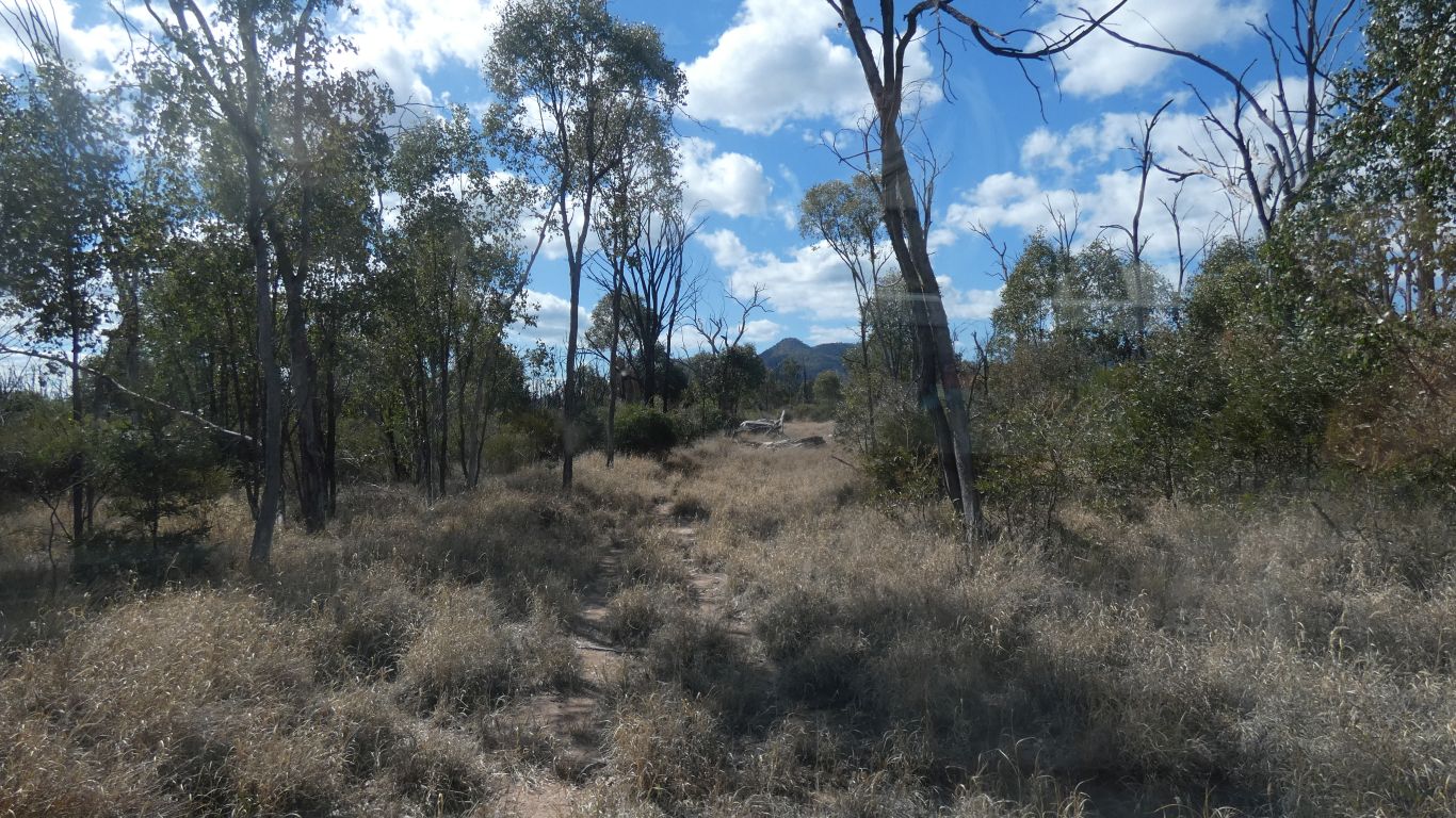
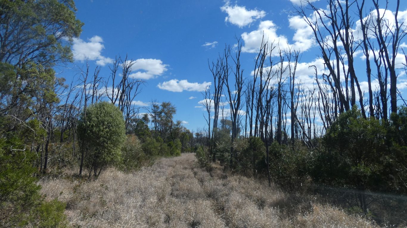
The forest more open than other places. With better glimpses of surrounding hills than we've had.
Wheel marks are present, just hidden by grass for more than half the journey. Fortunately for us Col had cleared any obstacles he hit, and his vehicle has less clearance than ours. We ploughed along at a steady 10kph for all 7km.
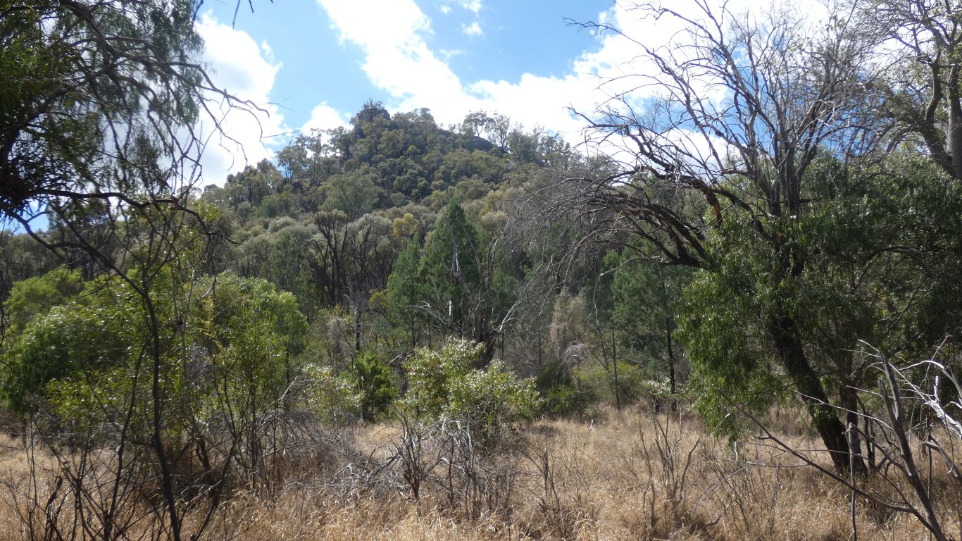
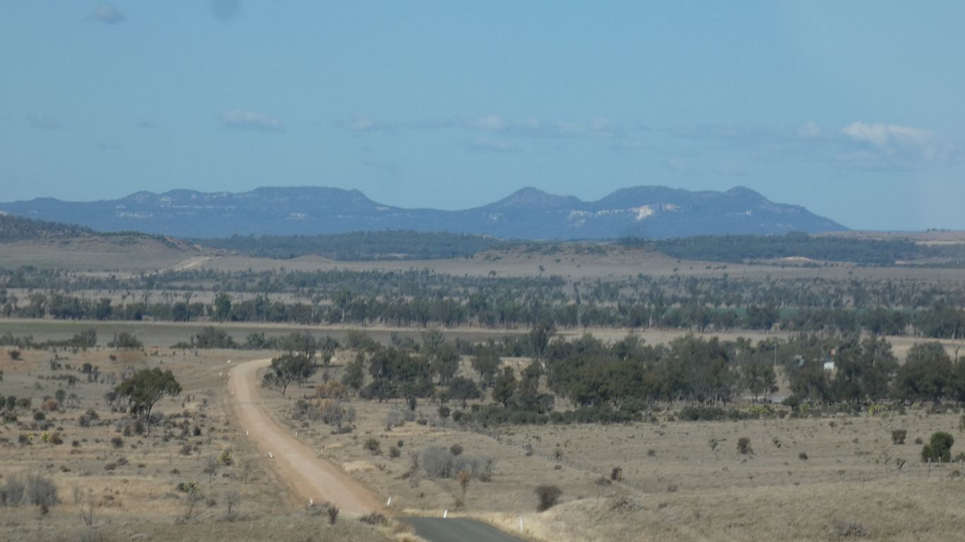
Our altitude about 590m. Mt Ka Ka Mundi (in the pic we think) 890m. Bunbuncundoo Springs, our campsite, is also about 590m.
Althogh it looks reasonable we decide against a 300m scramble, for no other reason than today we are poorly motivated. Neither of us "feel like it", so neither of us could motivate the other. Perhaps more tired from the one hour 7km drive than we are aware.
We can imagine, if they really are horse tracks they lead to water, the spring higher than the valley floor.
While we have seen and done a lot on this trip it seems there is more that we haven't. Which about sums up all our travels ... so much to do, so little time. Going slower we have seen more, and yet what we haven't seen remains endless.
Perhaps it will be another few years before anyone ventures in here, or maybe someone will see our (and Col's) tracks, and follow. We may never know.