| |
|
|
| Cooee Pt, Dip Falls and Stanley |
 |
January 24 - 26 |
| |
|
|
 |
|
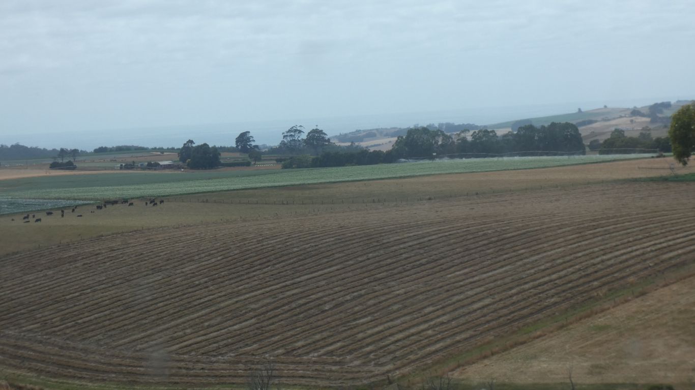
This part of Tasmania is north-south roads, between rivers,
with occasional east-west roads connecting. Always winding. We return to
the coast. Ready to do battle with our perception of school holidays and
other visitors from the mainland.
Past more potatoes. |
| | | |
 |
|
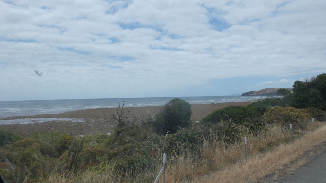
Somewhere there is a fossicking area. West of Penguin
Point. We tried a couple of possible parking spots, but alas, failed to
gain access to the beach.
We had hoped to find polished jasper pebbles among the rocks. |
| | | |
 |
|
Through Penguin, We opted for more of the coast road rather
than the Bass Highway. |
| | | |
 |
|
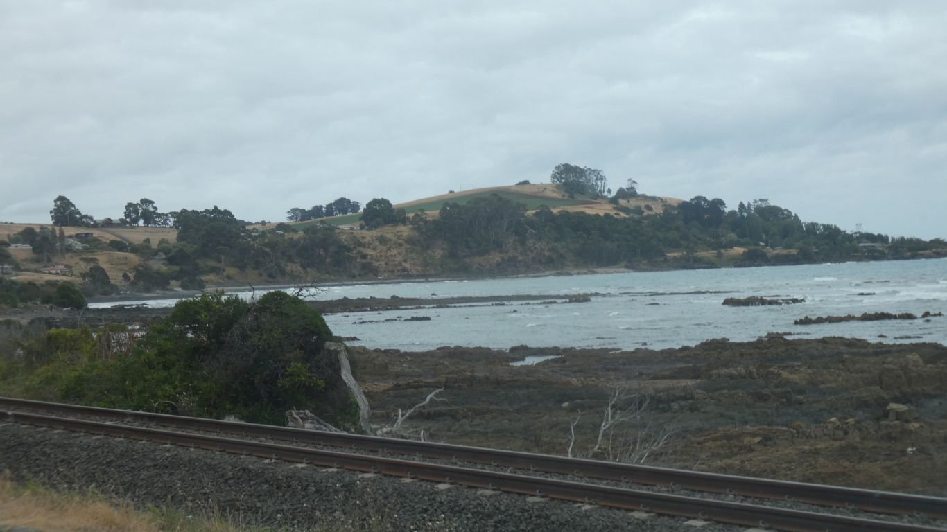
The beach became even less accessible due to the railway
line. |
| | | |
 |
|
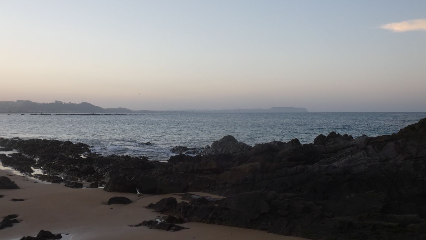
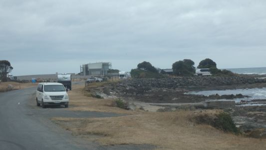
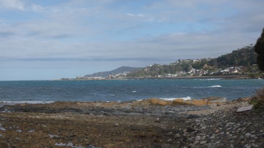
A stop for a couple of nights at Cooee Point. Just west of
Burnie. |
| | | |
 |
|
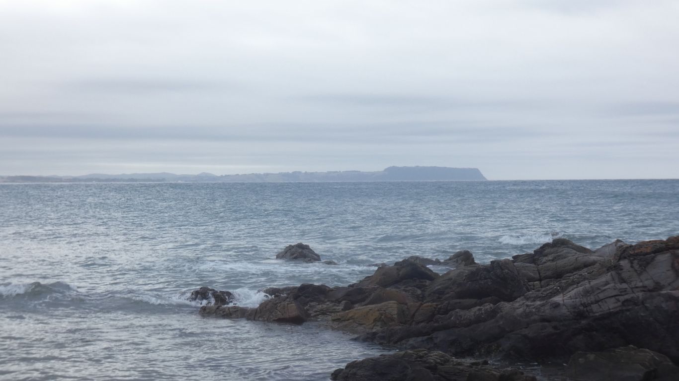
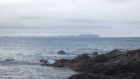
We were surprised to find limestone at Leven Falls. Now we
are surprised to find volcanic plugs periodically along the coast. |
| | | |
 |
|
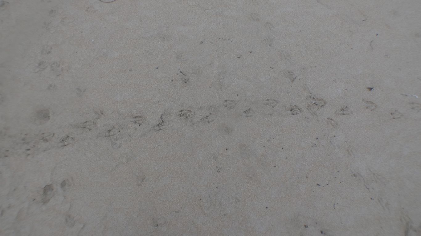
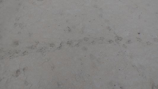
Just to the west of us the beach had penguin footprints.
Near straight lines from water to sand dune.
We waited at dusk and were eventually rewarded with a solitary penguin.
At least that's all we saw and what we think. Almost pitch black, a little
moon. It behaved like we think a penguin behaves, and headed from the water
to the grassed sand dune where we thought we could identify tracks to
burrows. It was also the right height, about 300mm, for a fairy penguin. |
| | | |
 |
|
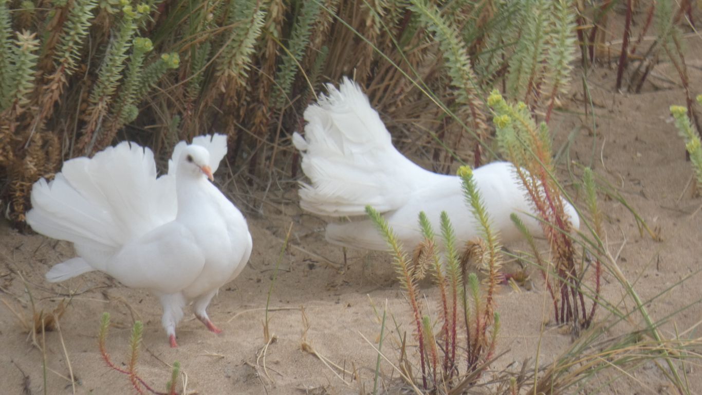
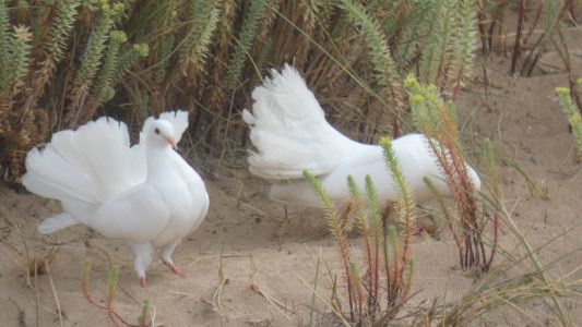
Fan tailed pigeons. A small flock. We think domesticated
trophies. We wonder if they can fly. |
| | | |
 |
|
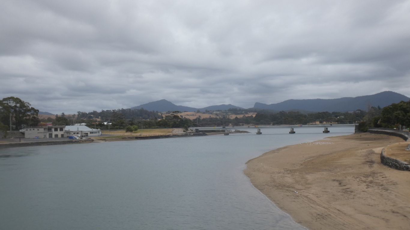
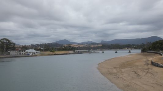
East to Burnie. |
| | | |
 |
|
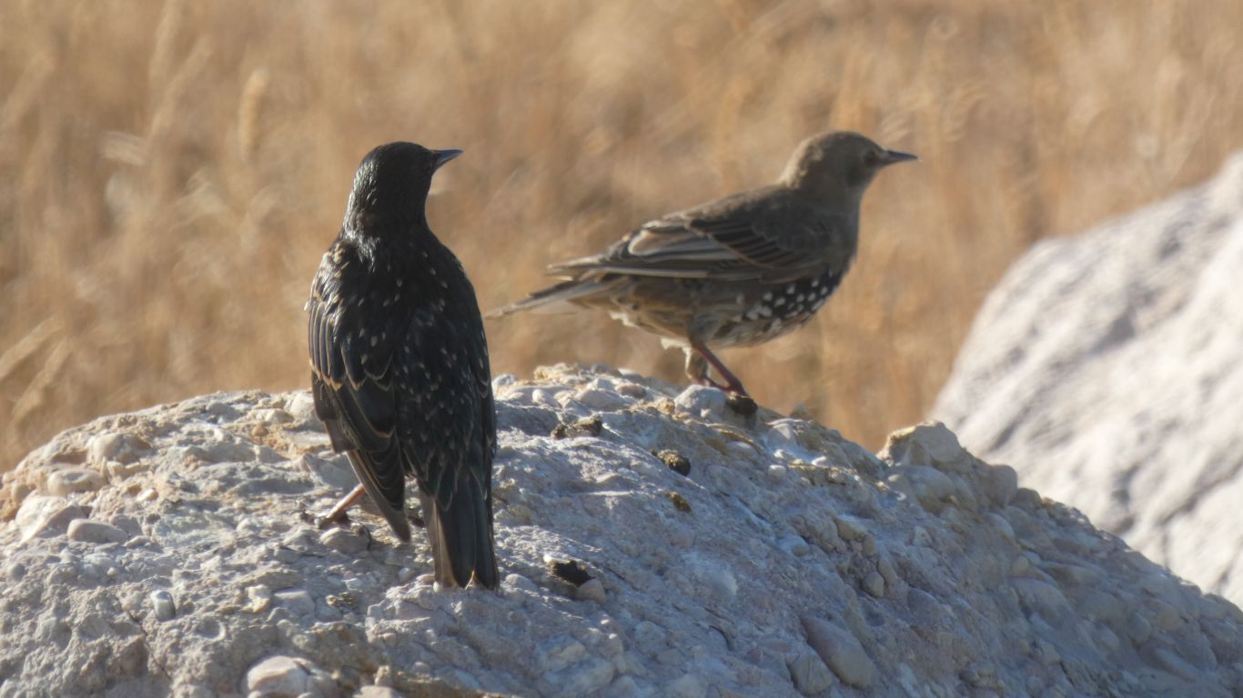
There's a flock of starlings that visit the beach below the
camp. Searching for food among the seaweed. |
| | | |
 |
|
Nearly sunset. |
| | | |
 |
|
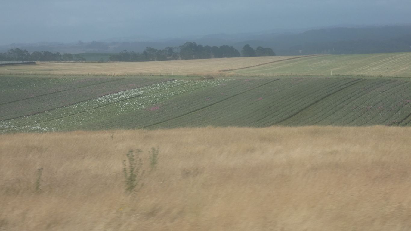
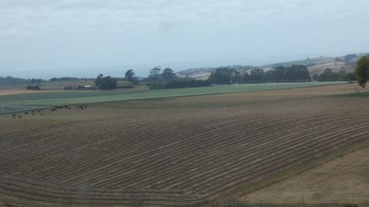
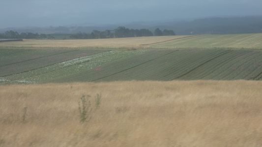
We head inland again. The day of rest used to chart our
course through the north west corner of Tasmania. More potatoes. |
| | | |
 |
|
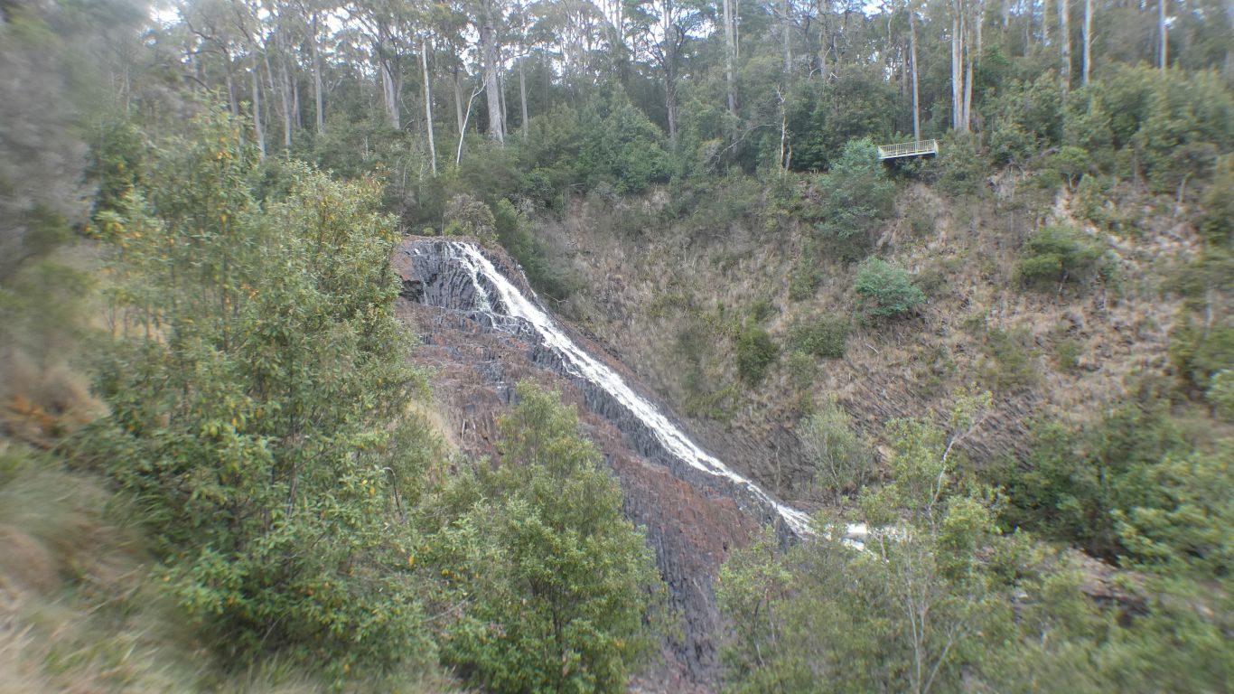
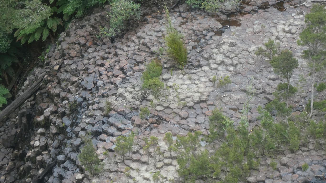
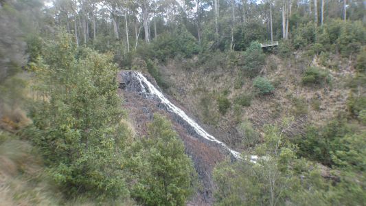
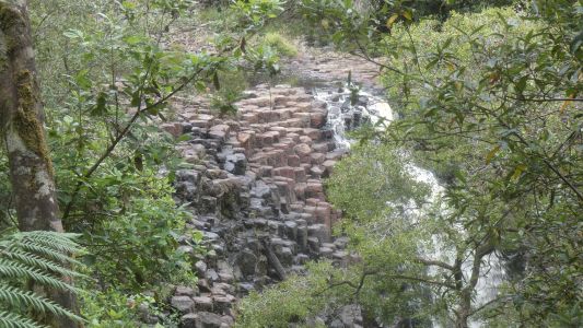
Dip Falls. Basalt we think. With columnar joints. |
| | | |
 |
|
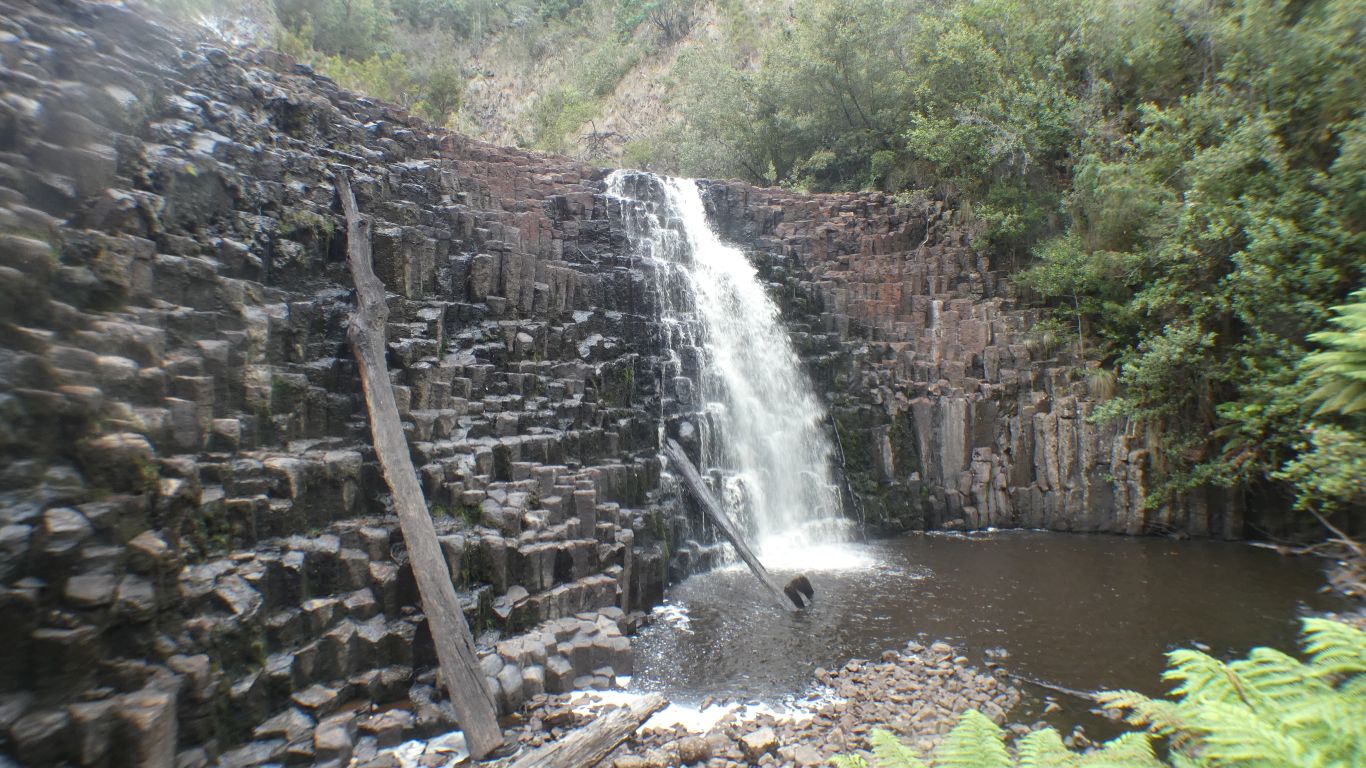
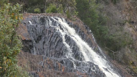
Not all columns are vertical, or straight. But that's ok,
they are allowed to cool unevenly. |
| | | |
 |
|
Mostly 6 sided as we have previously observed. Some 5 and
some 7. We remind ourselves they are formed as cracks, caused by
contraction, meet. |
| | | |
 |
|
Some water over the falls. |
| | | |
 |
|
We walked across the road bridge to observation deck on the
west side. |
| | | |
 |
|
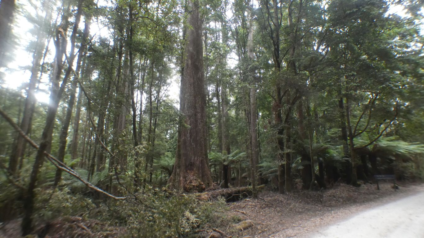
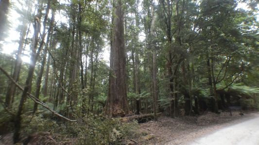
Then went in search of "the big tree". This isn't it. It
was a big eucalypt. Still alive, but perhaps for not much longer (in tree
terms).
I guess we will always struggle with a logged area that left a big tree,
for whatever reason, then celebrates its survival. Our mindset is such as to
wonder what it would have looked like before logging. |
| | | |
 |
|
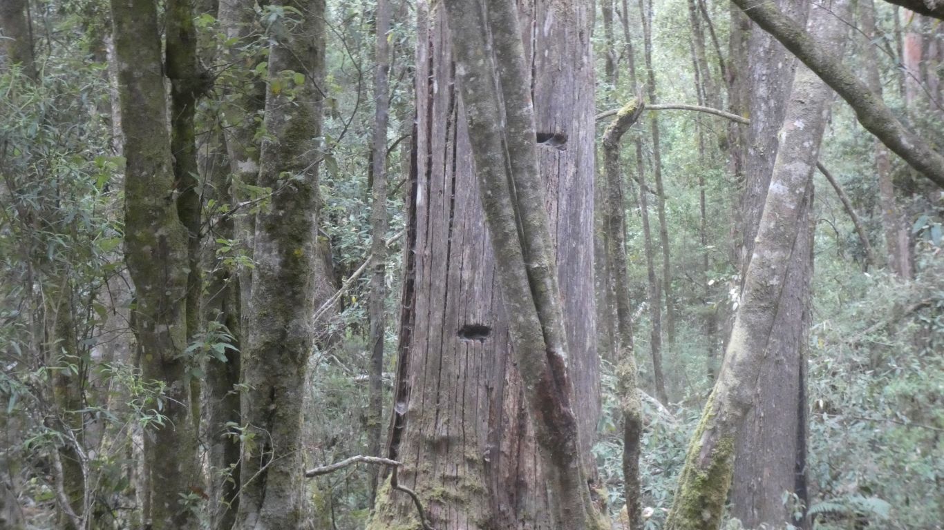
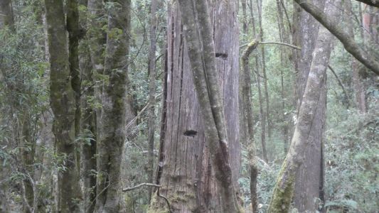
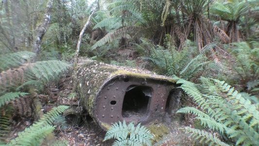
Evidence of logging near the car park and picnic area.
Platforms are built to cut through a narrower part of the trunk. |
| | | |
 |
|
There were apparently three houses and a small saw mill in
the early 1900's. |
| | | |
 |
|
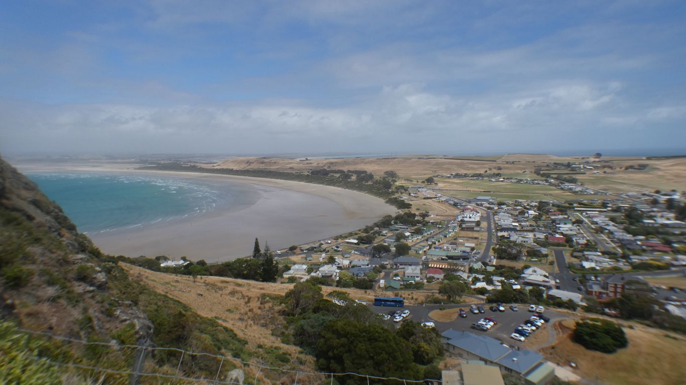
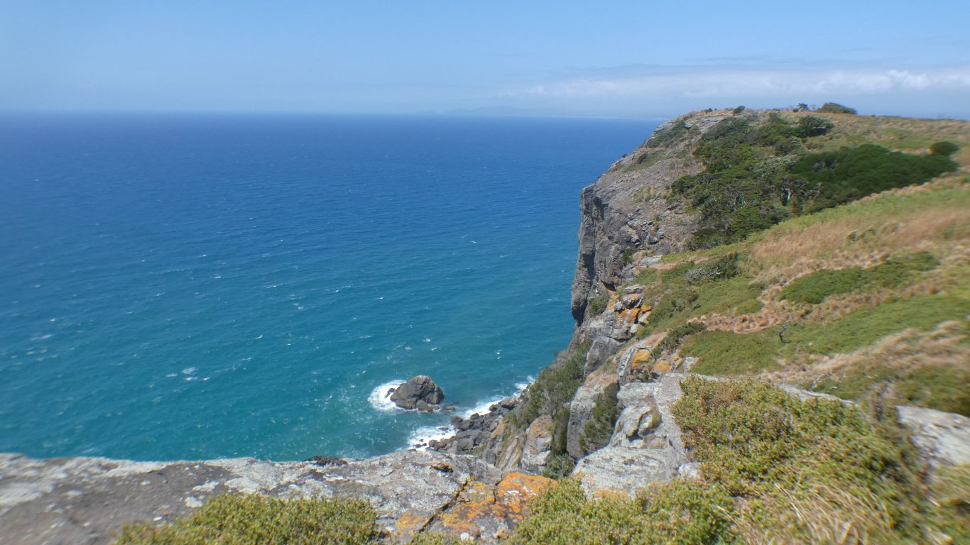
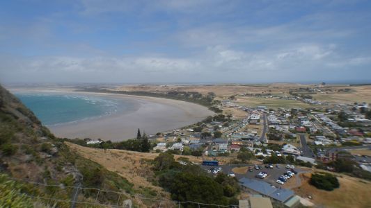
Onward to Stanley. To walk up "the Nut". The sign said
"why walk when you can ride?", referring to the chairlift.
We thought "why ride when we can walk?".
A very steep, but short, concreted track.
The view to the east. |
| | | |
 |
|
The northerly point as we walked round the plateau top. |
| | | |
 |
|
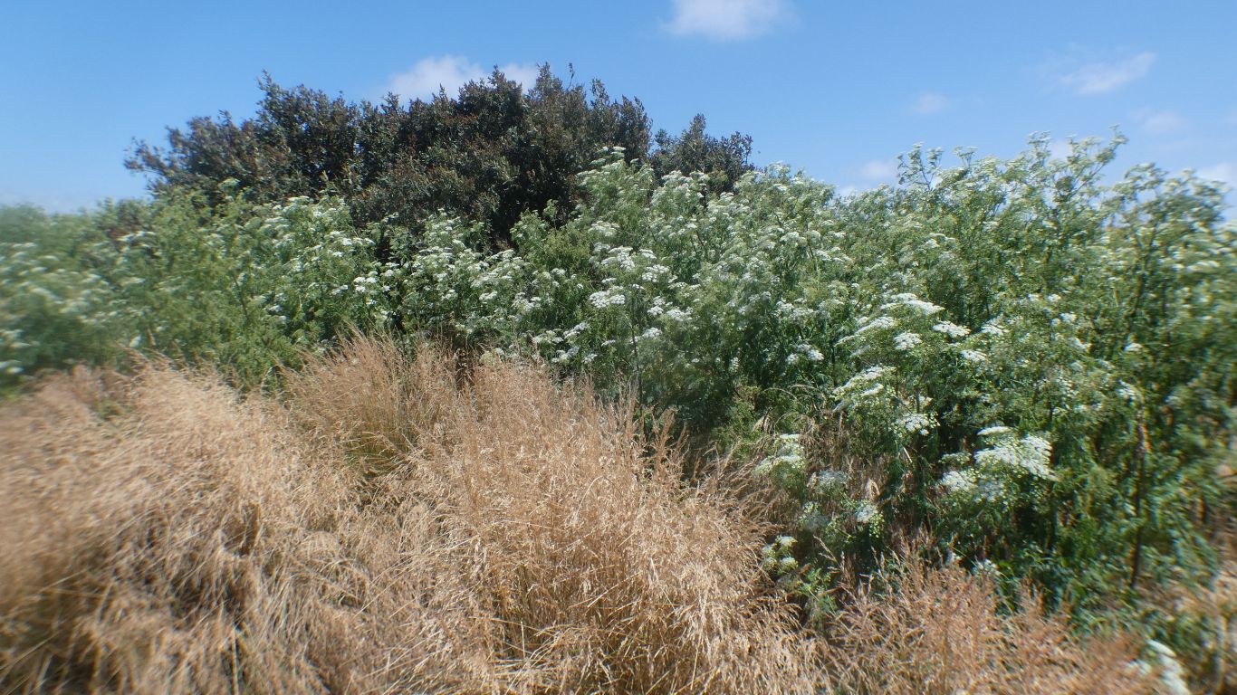
Hemlock. It arrived with the sheep that the Van Diemans
Land Company brought when establishing their large farm. I learned that
Socrates had been convicted of corrupting the youth of Athens, and chose to
drink hemlock to effect his execution. |
| | | |
 |
|
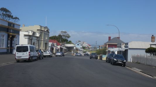
We failed to buy scallop pies in Stanley. |
| | | |
| Trowutta Arch and Milkshake Hills |
|
January 26 - 30 |
| | | |