| |
|
|
| Balfour and Mt Donaldson |
 |
February 1 - 2 |
| |
|
|
 |
|
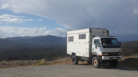
We weren't too sure when we drove in, but fortunately found
a clearing after about 100m Just wide enough. |
| | | |
 |
|
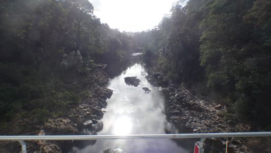
Crossed the Arthur River again, on the way to Balfour
Packhorse Track. |
| | | |
 |
|
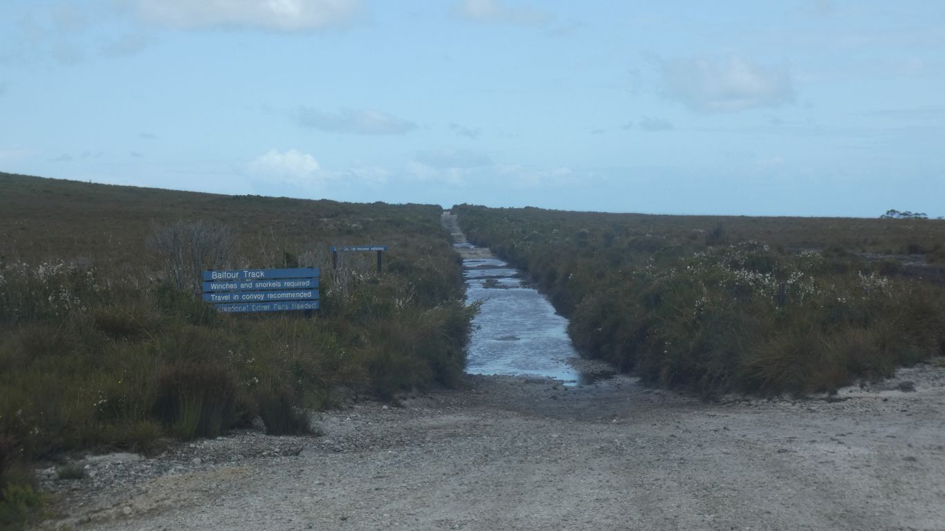
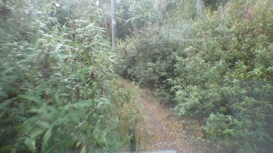
All the stories said the track was unmarked and difficult
to find. After a few hundred meters we found ourselves beside the road. A
tad confused, the few track markers we found had a creek to our left. The
map at track entrance had creek on the right. We surrendered and walked
along the road to the truck. |
| | | |
 |
|
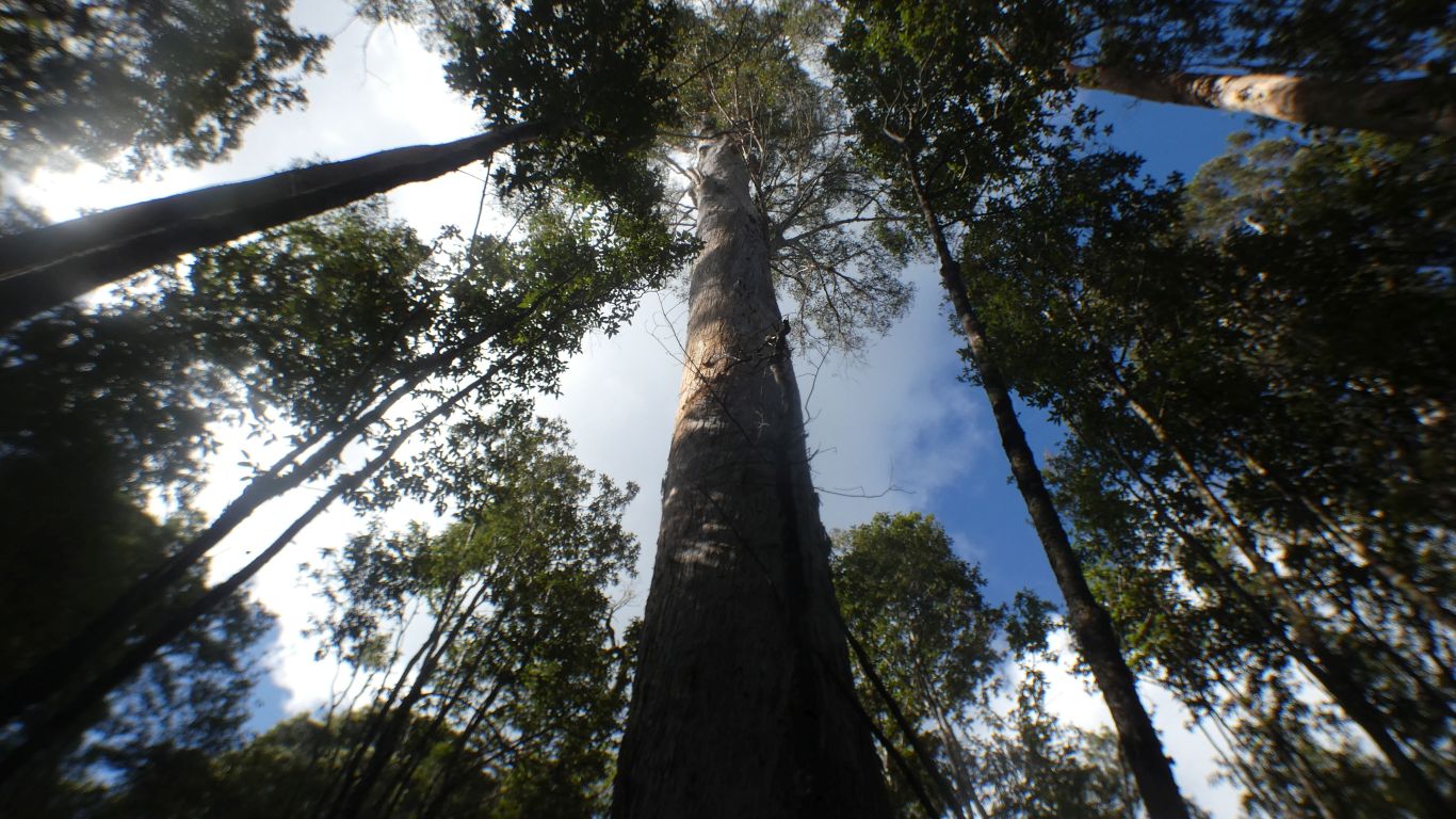
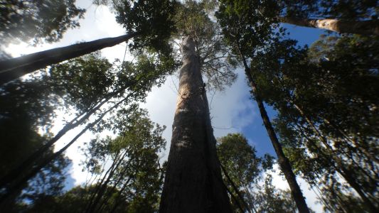
After taking a pic of a tree. |
| | | |
 |
|
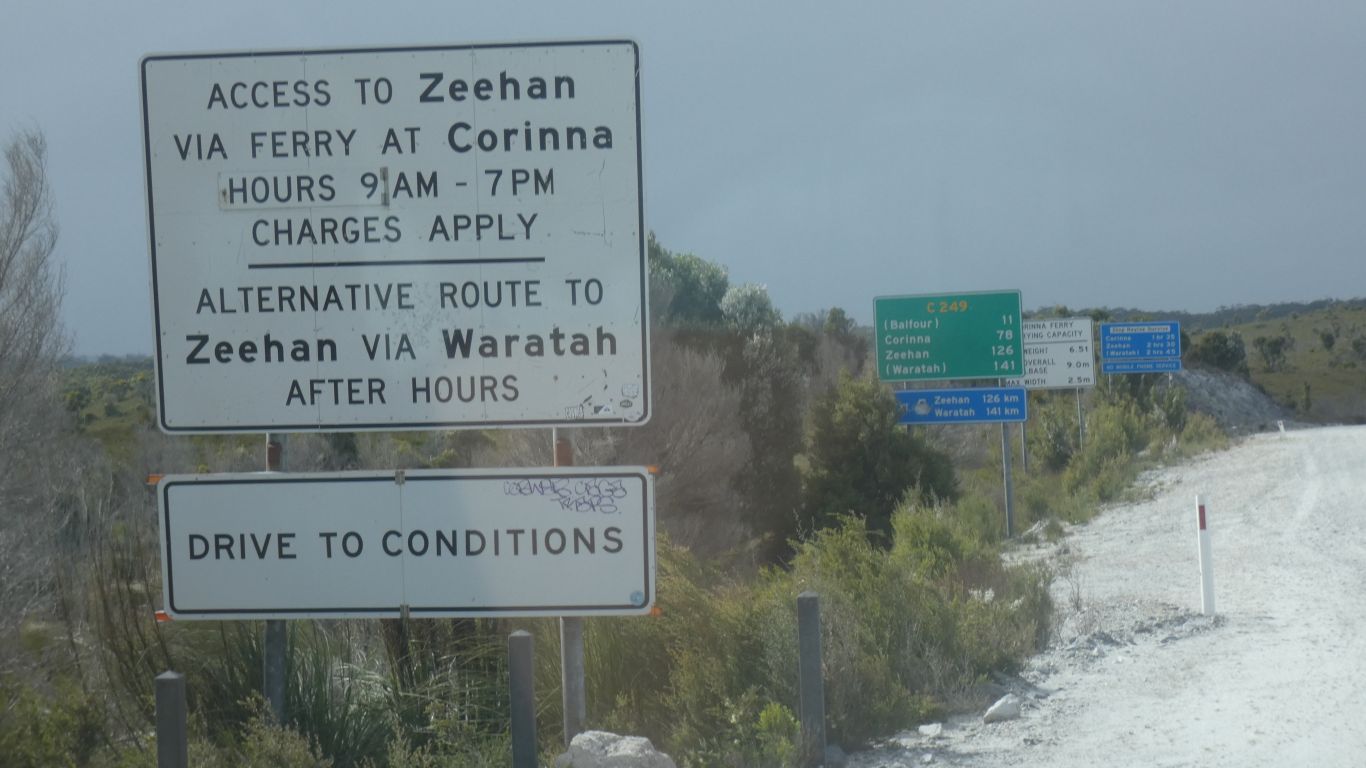
There are three roads to Corinna. We decided to drive the
Western Explorer twice, the other two once each. This is about half the
signs at the beginning. Had the ferry size and weight allowances, but didn't
mention the 5 tonne limit on a bridge just before Corinna. Not a problem for
us, but I'm sure it catches some out. |
| | | |
 |
|
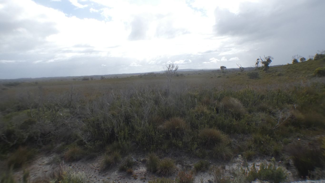
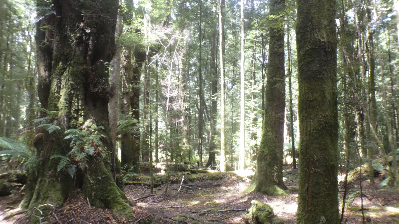
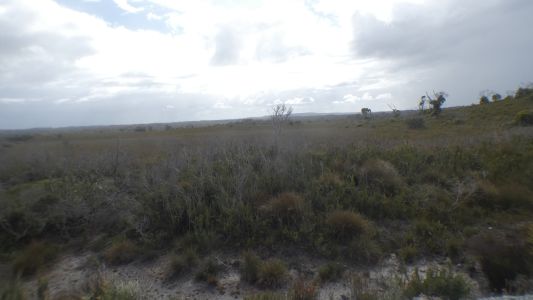
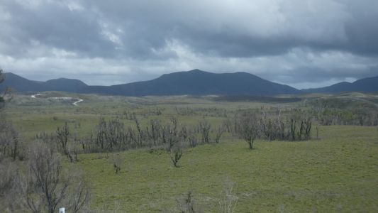
We left the forest behind for a while. What I would call
peat moorland. |
| | | |
 |
|
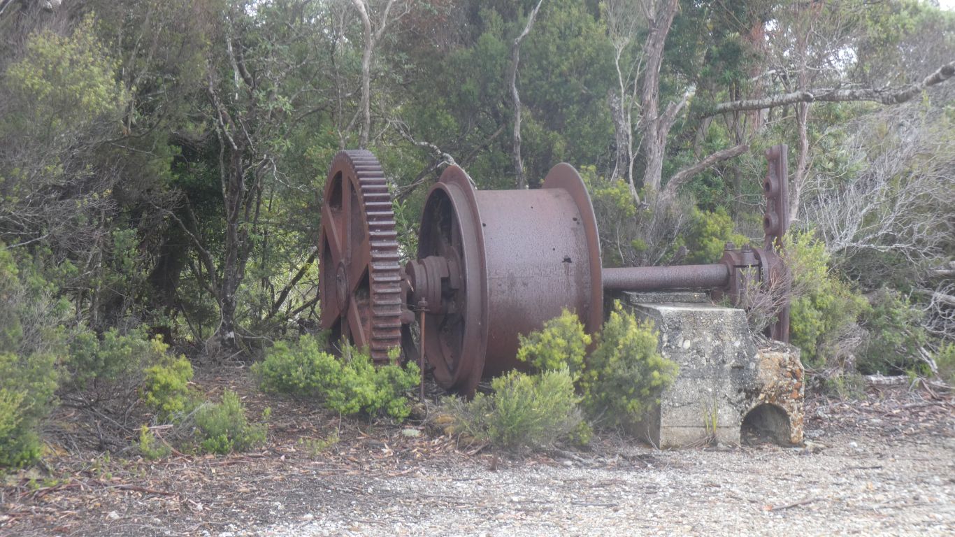
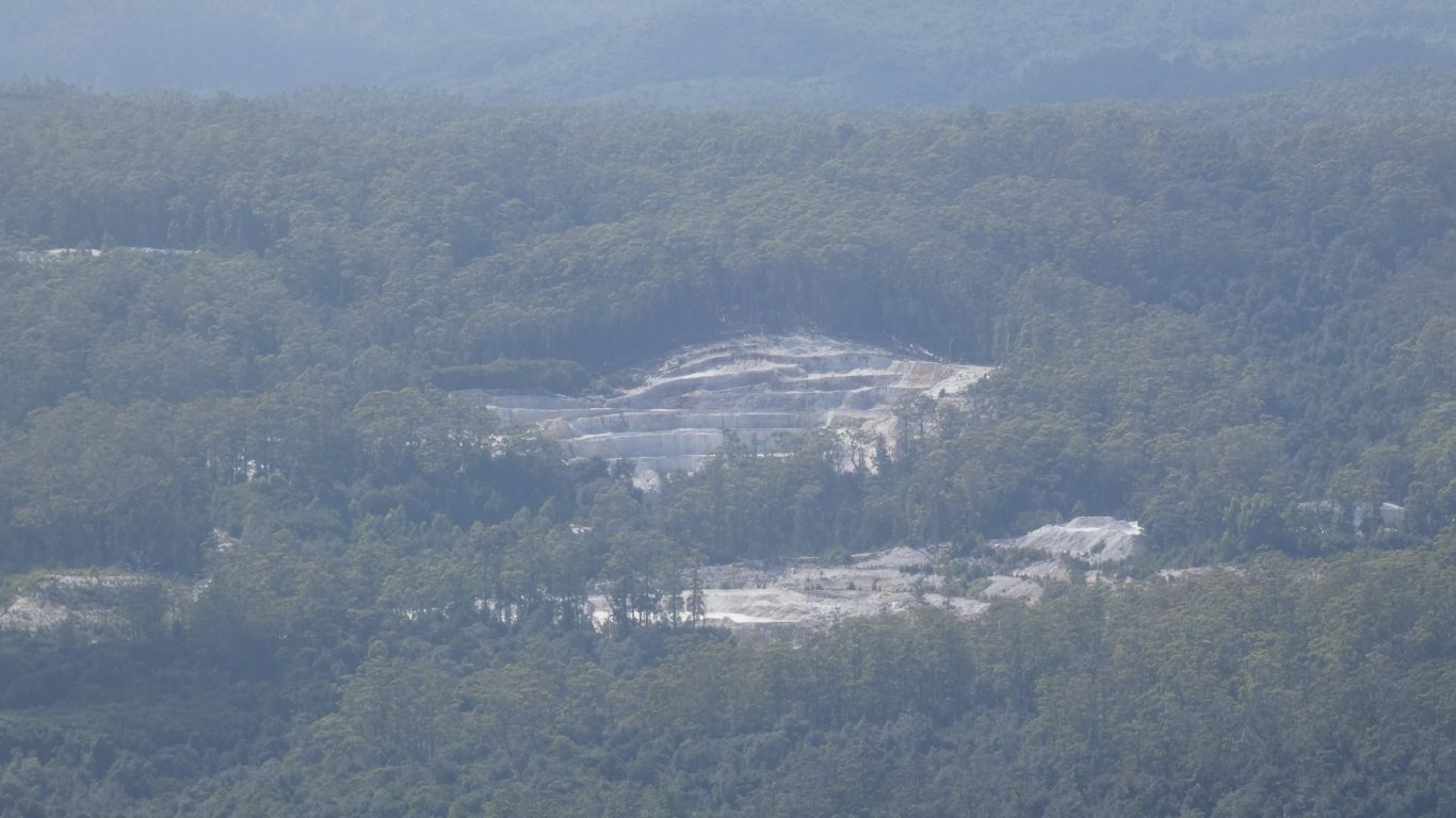
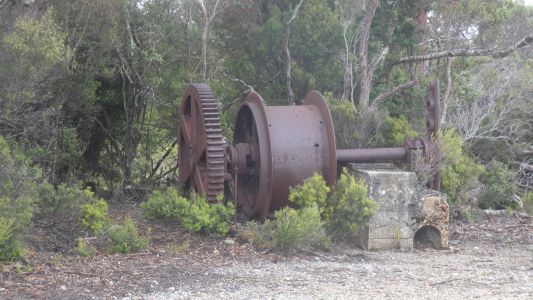
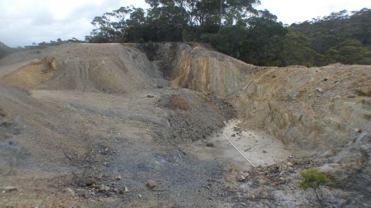
Murrays Reward Mine at Balfour. Copper. Mostly
chalcopyrite (iron copper sulphide). |
| | | |
 |
|
I didn't recognise it. |
| | | |
 |
|
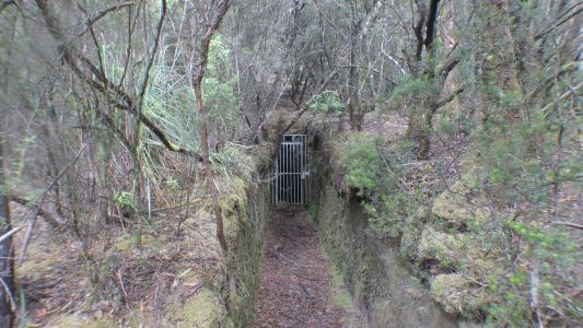
The mine was underground with a shaft. |
| | | |
 |
|
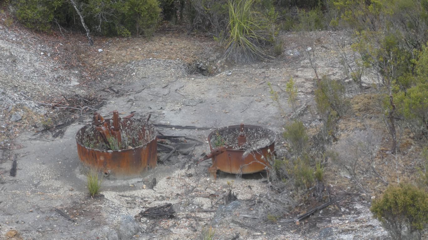
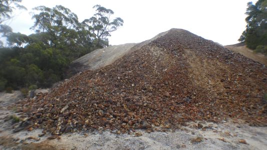
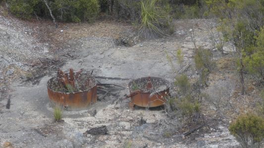
Remains of crushers. The first shipment was 1100 tons of
30% copper. Some ore treatment, but no smelter.
There was a 21km tramway to an anchorage at Temma.
I assume now the difficult 4wd track that requires snorkels and winches
to cross the peat.
For a time it was thought the mine may be as rich as Mt Lyell at
Queenstown to the south. However, the mine was abandoned before WWI. |
| | | |
 |
|
I didn't venture close enough to look down the shaft. |
| | | |
 |
|
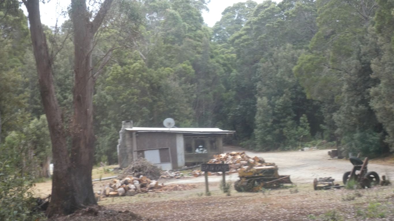
A quick visit to the pub. But not the graveyard. |
| | | |
 |
|
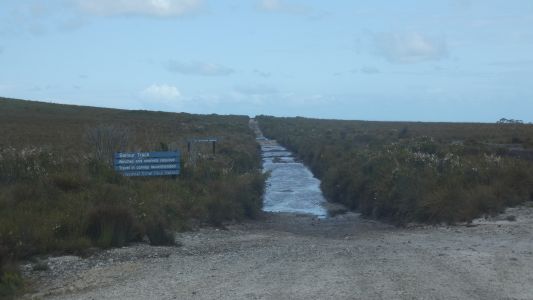
The track to Temma. |
| | | |
 |
|
We headed south towards Corinna. |
| | | |
 |
|
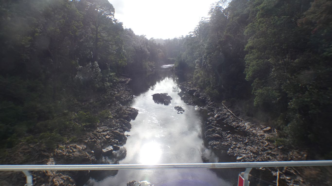
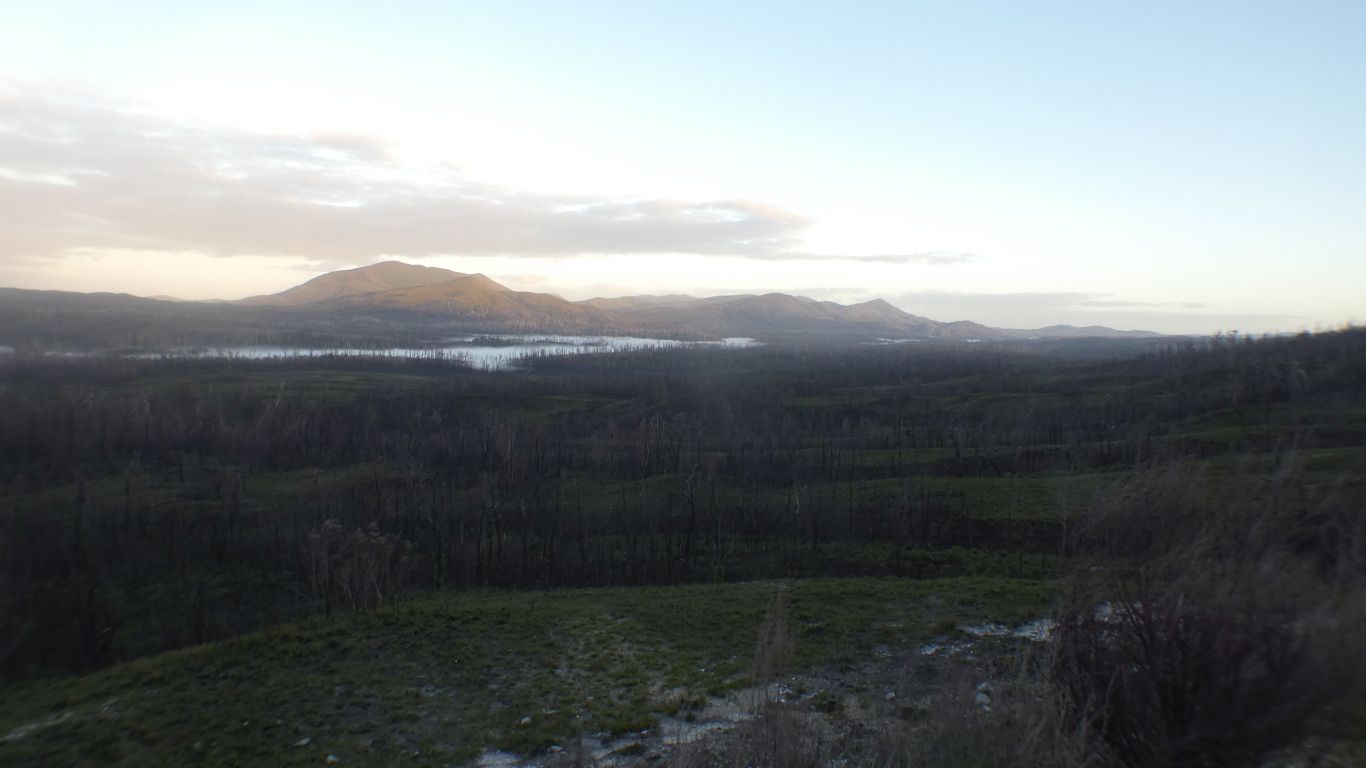
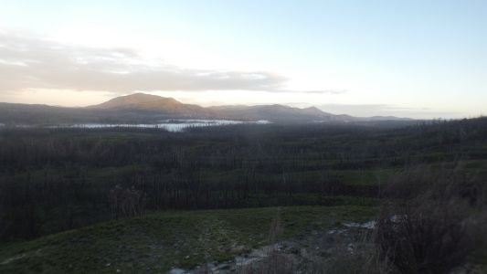
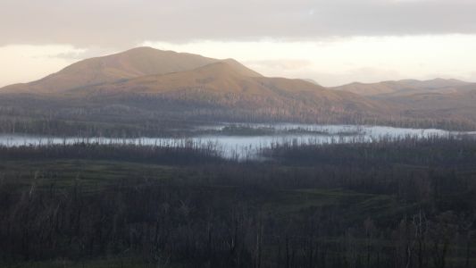
Camped at the Donaldson River Lookout. Windy when we
stopped we aligned the truck with the wind. |
| | | |
 |
|
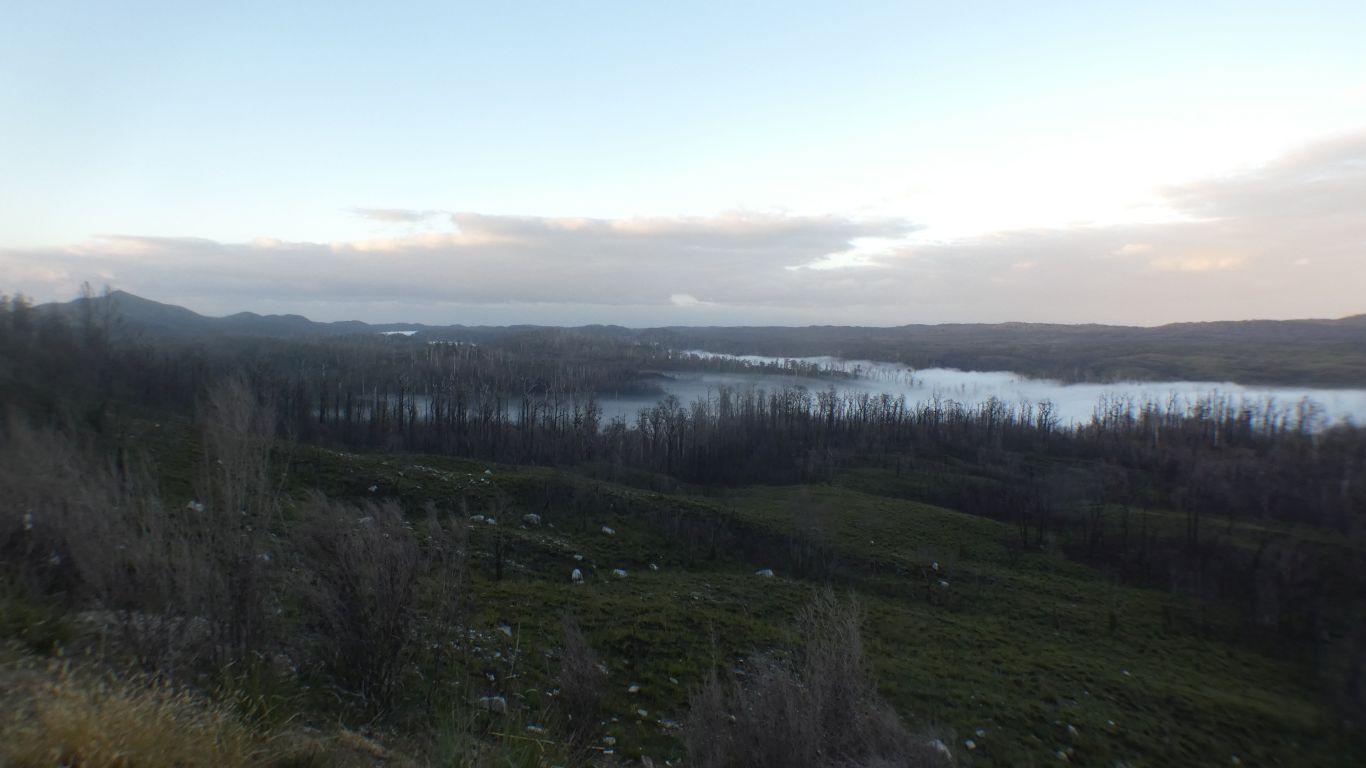
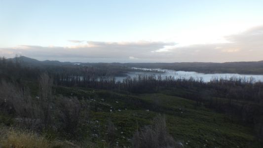
A beautiful sunrise lighting up the hills. |
| | | |
 |
|
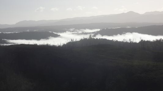
And evaporating the mist that gathered on the river. |
| | | |
 |
|
We watched for a while. |
| | | |
 |
|
Carried on south. |
| | | |
 |
|
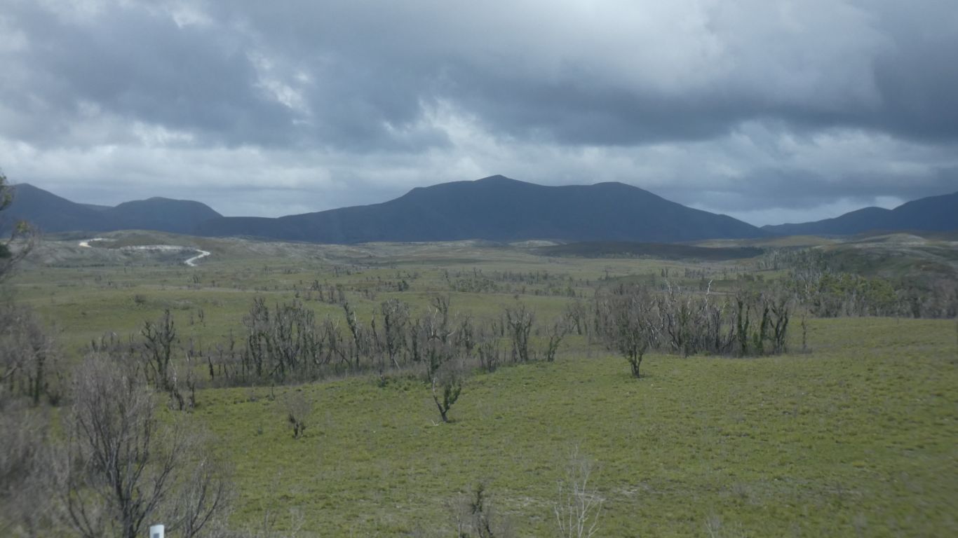
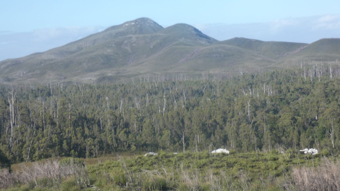
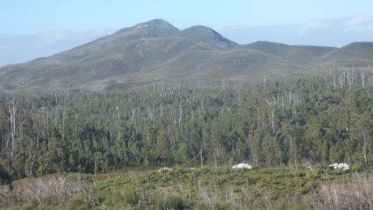
Mt Donaldson. We will walk up it from near Corinna. |
| | | |
 |
|
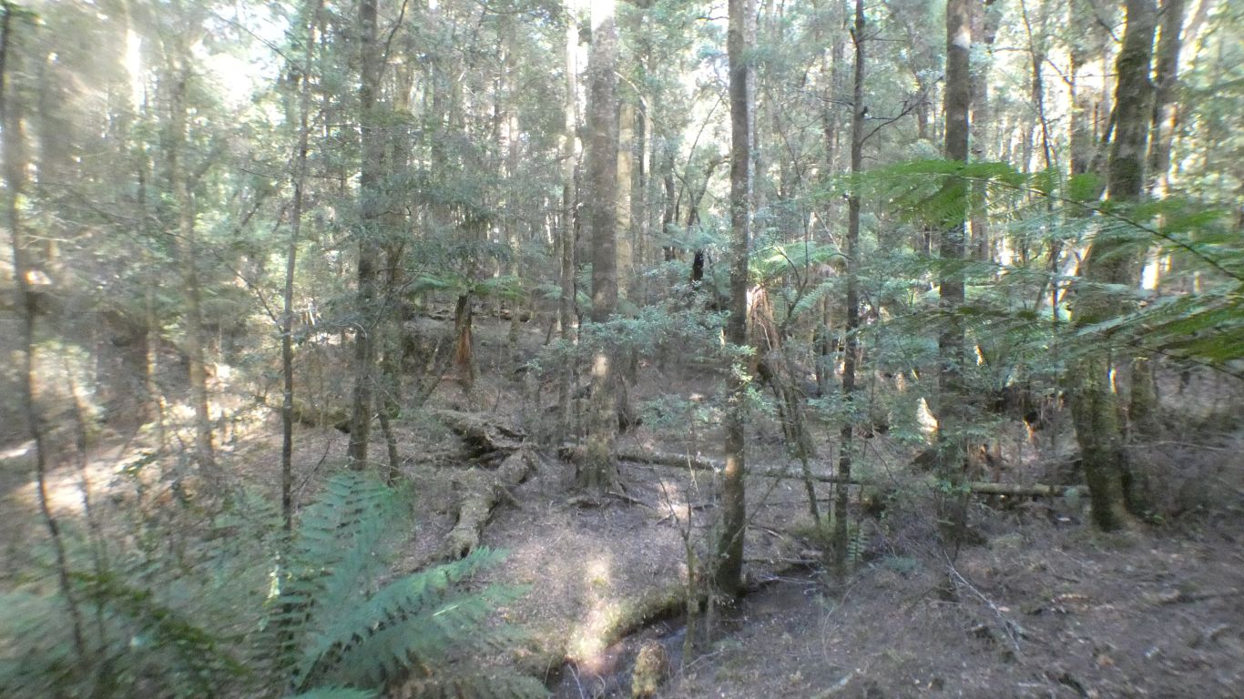
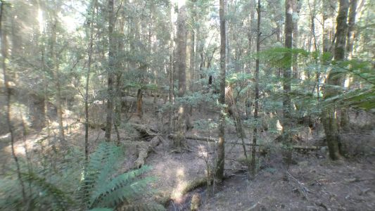
Obviously logged. A gentle, steady, incline. The first
1.5km in bush. Dry. |
| | | |
 |
|
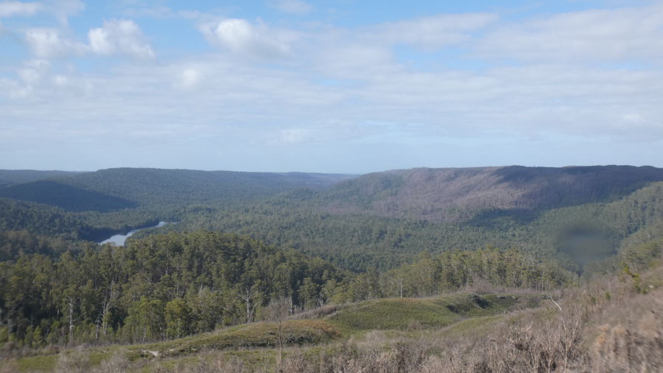
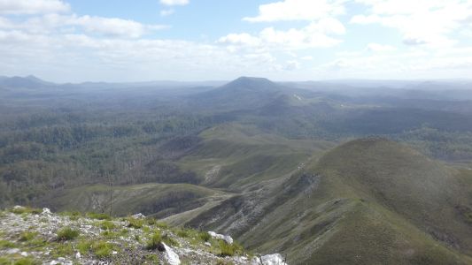
Then onto button grass plains. We see the Pieman River.
Which the ferry crosses. |
| | | |
 |
|
Looking north whence we have come. |
| | | |
 |
|
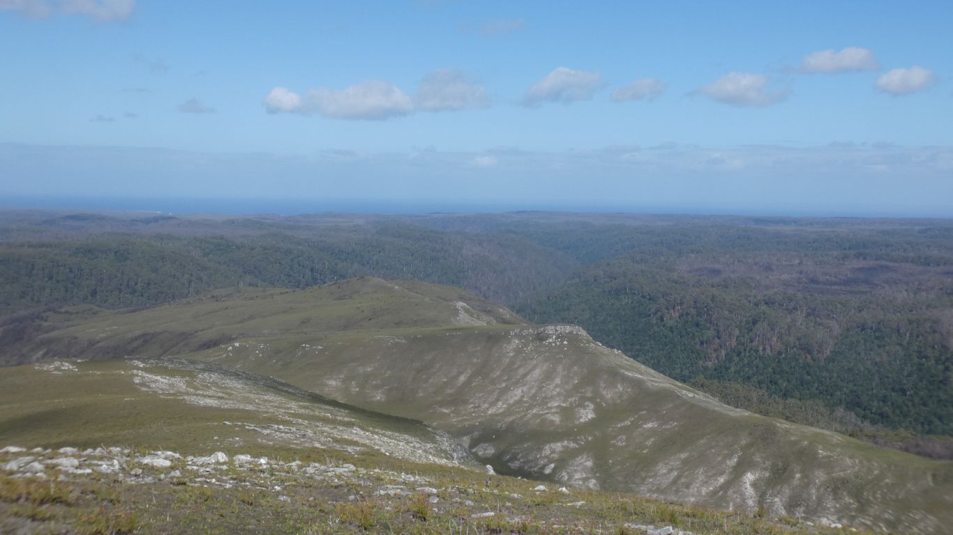
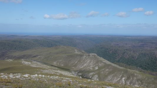
And west to the coast. Not far away. |
| | | |
 |
|
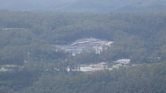
East to Savage River iron ore (magnetite) mine. |
| | | |
 |
|
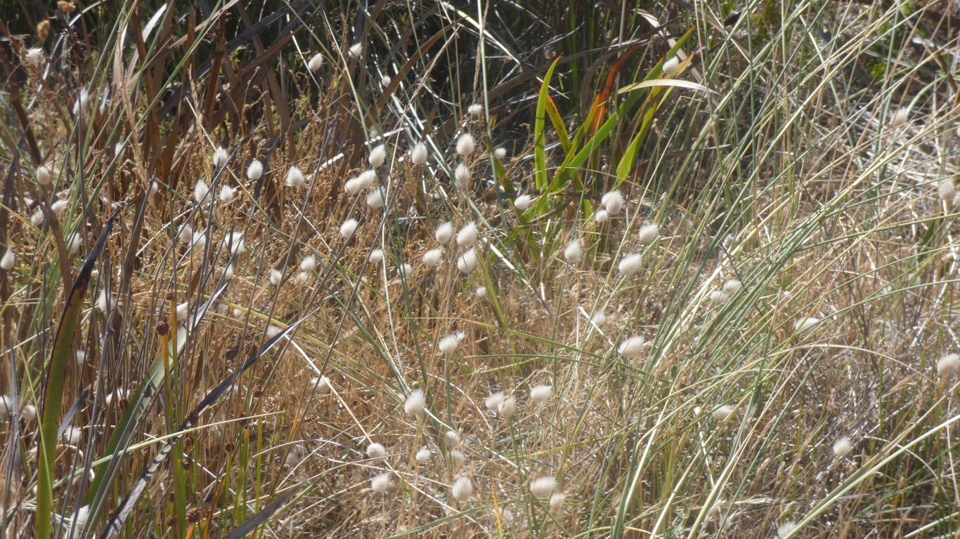
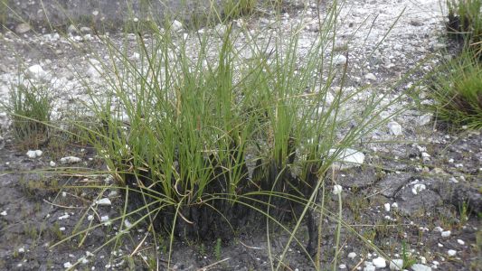
The tussock has been burned recently and growing back well.
They regrow from the base, like grasses. |
| | | |
 |
|
Nearly back at the road. About 3 hours, 2 up and 1 down. |
| | | |
 |
|
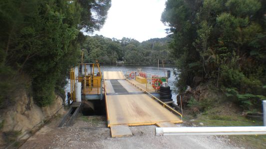
A look at the ferry. We'll pass this way in a couple of
weeks and cross it. |
| | | |
 |
|
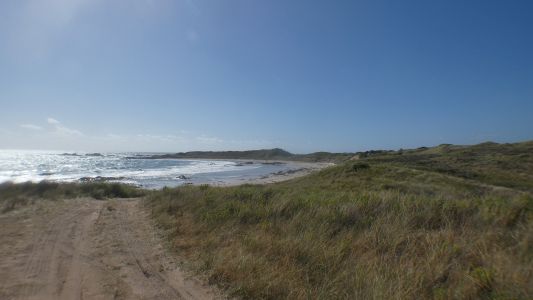
We drive north, whence we came, and turn to the coast. A
brief misunderstanding in which "Camp Elsewhere" was misinterpreted as
"don't camp here".
We are camped.
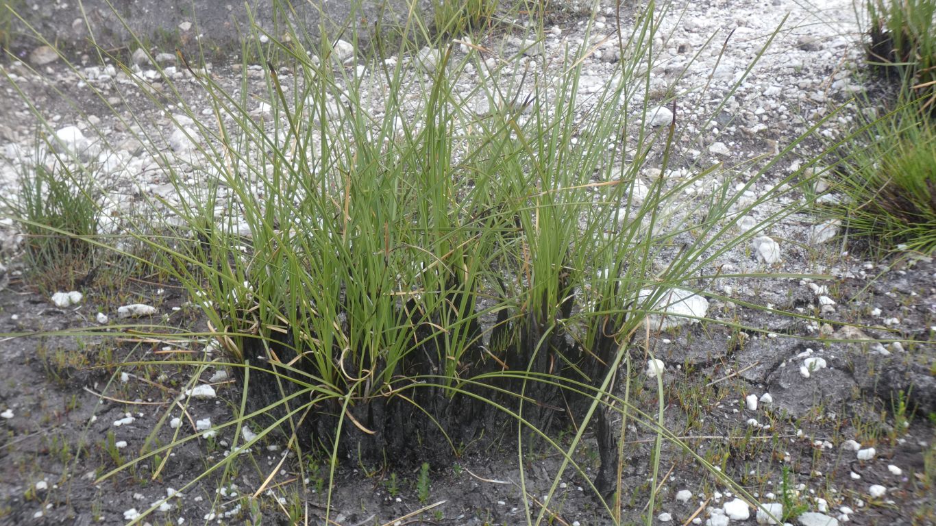
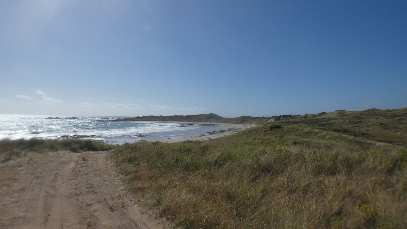
A walk to the beach, With cotton grass. |
| | | |
 |
|
And Rebecca Rocks - we'll find out who Rebecca was later
... |
| | | |
|
|
|
| | | |