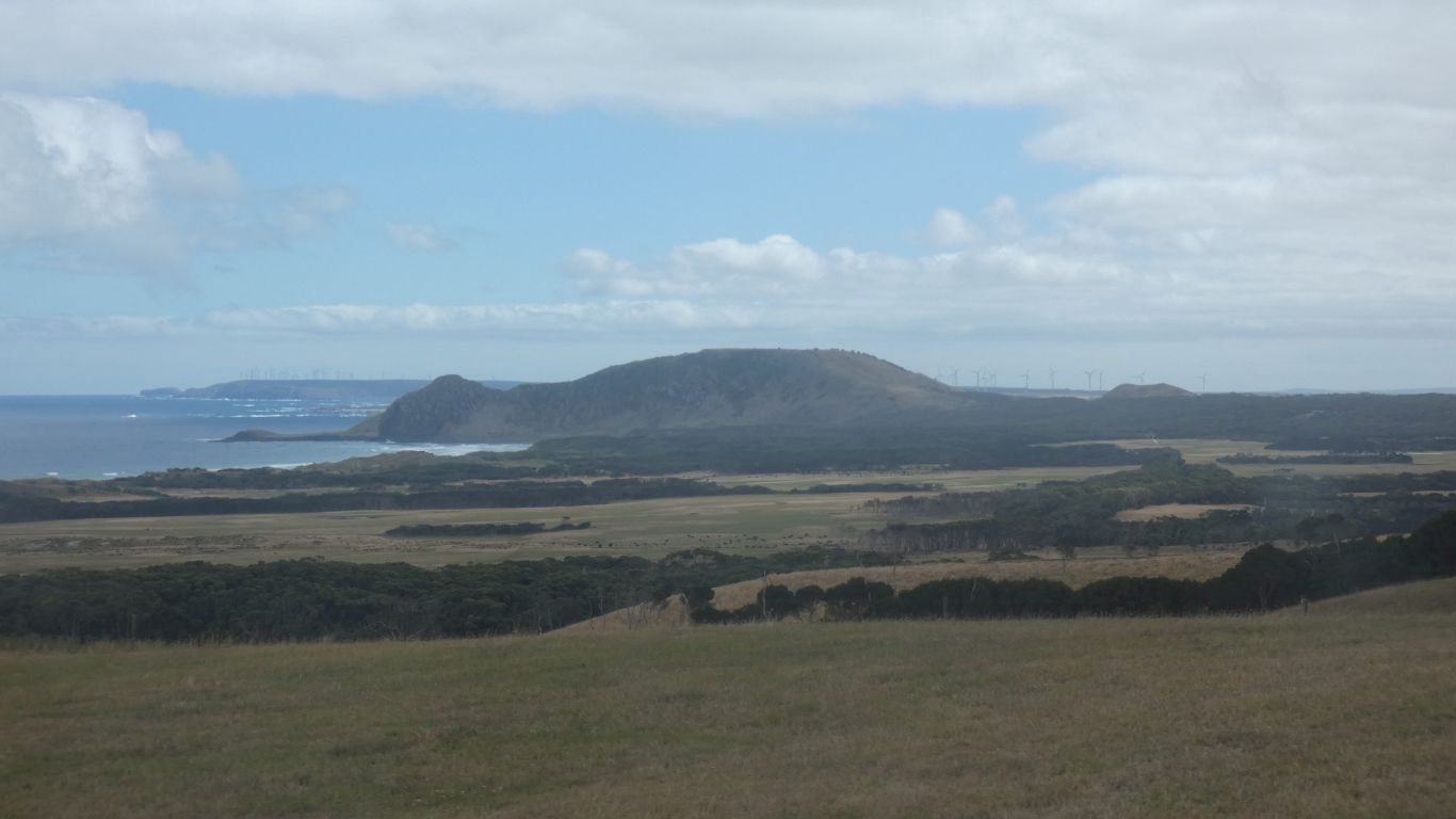
There isn't a Mt Cameron East, just a Mt Cameron, near the east coast of Tassie.
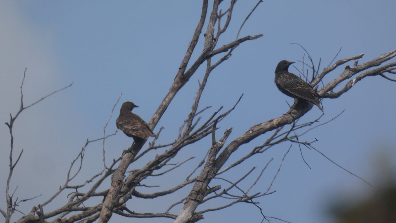
I guess introduced, like the starlings.
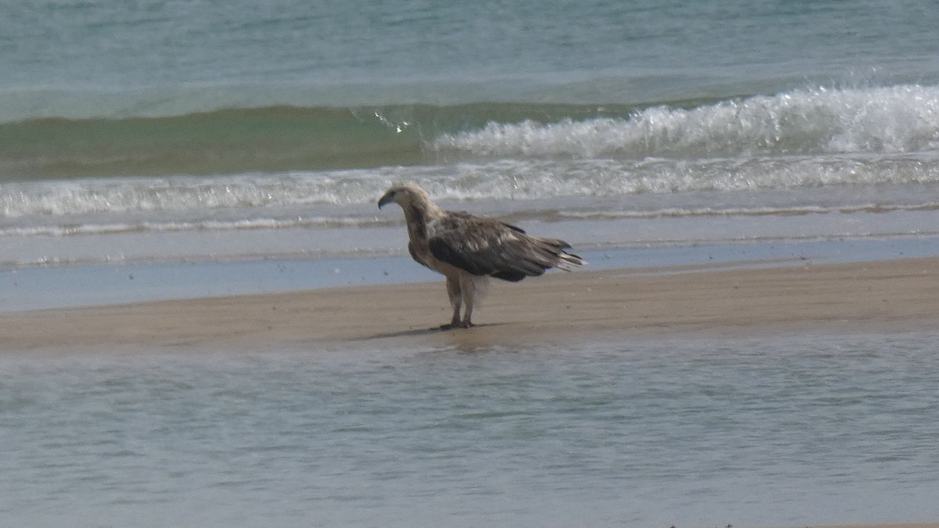
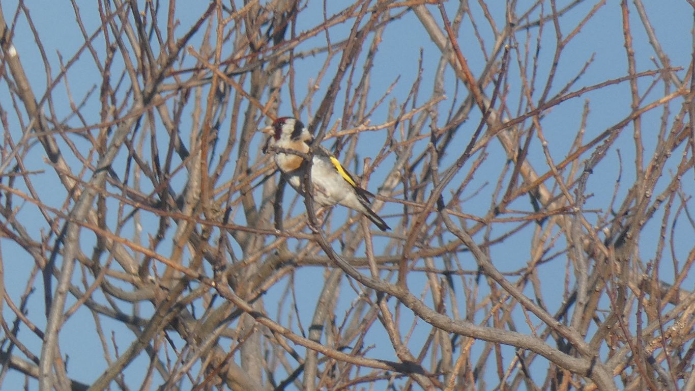
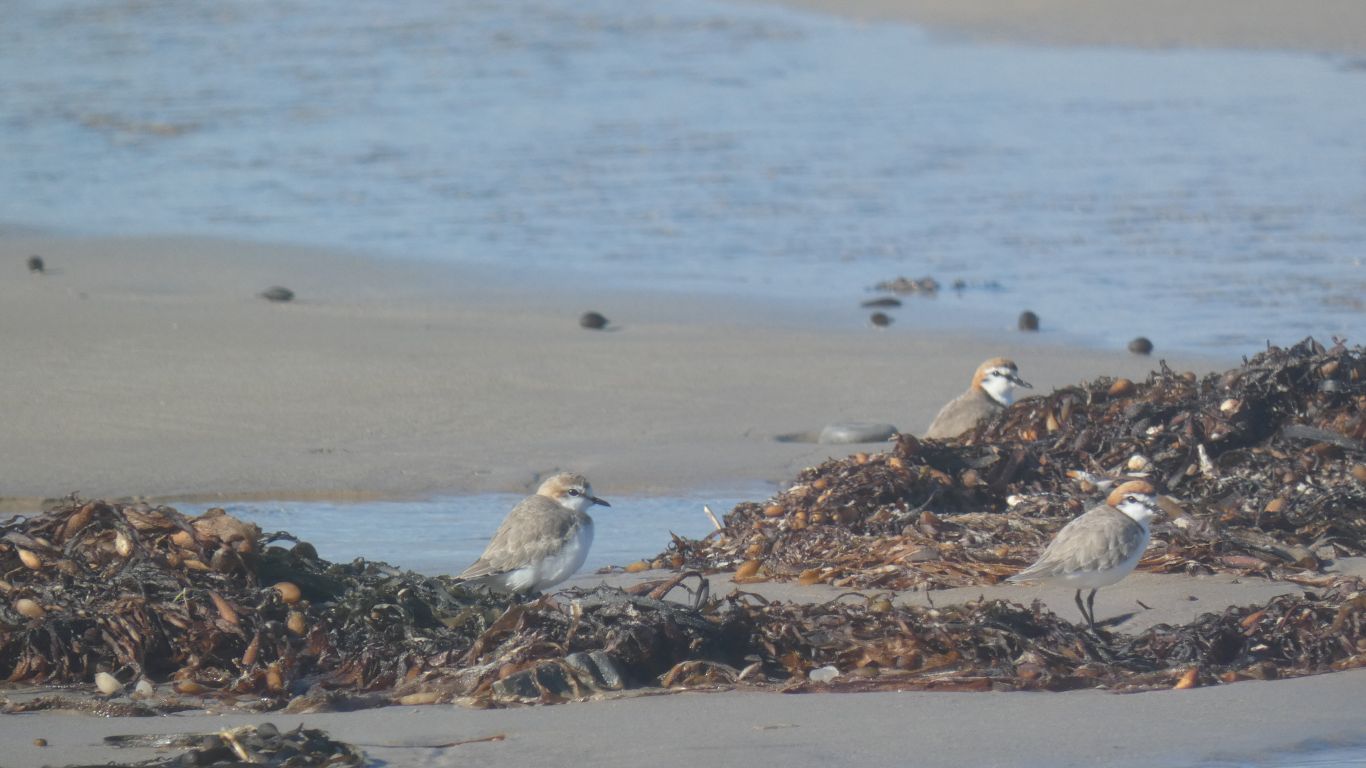
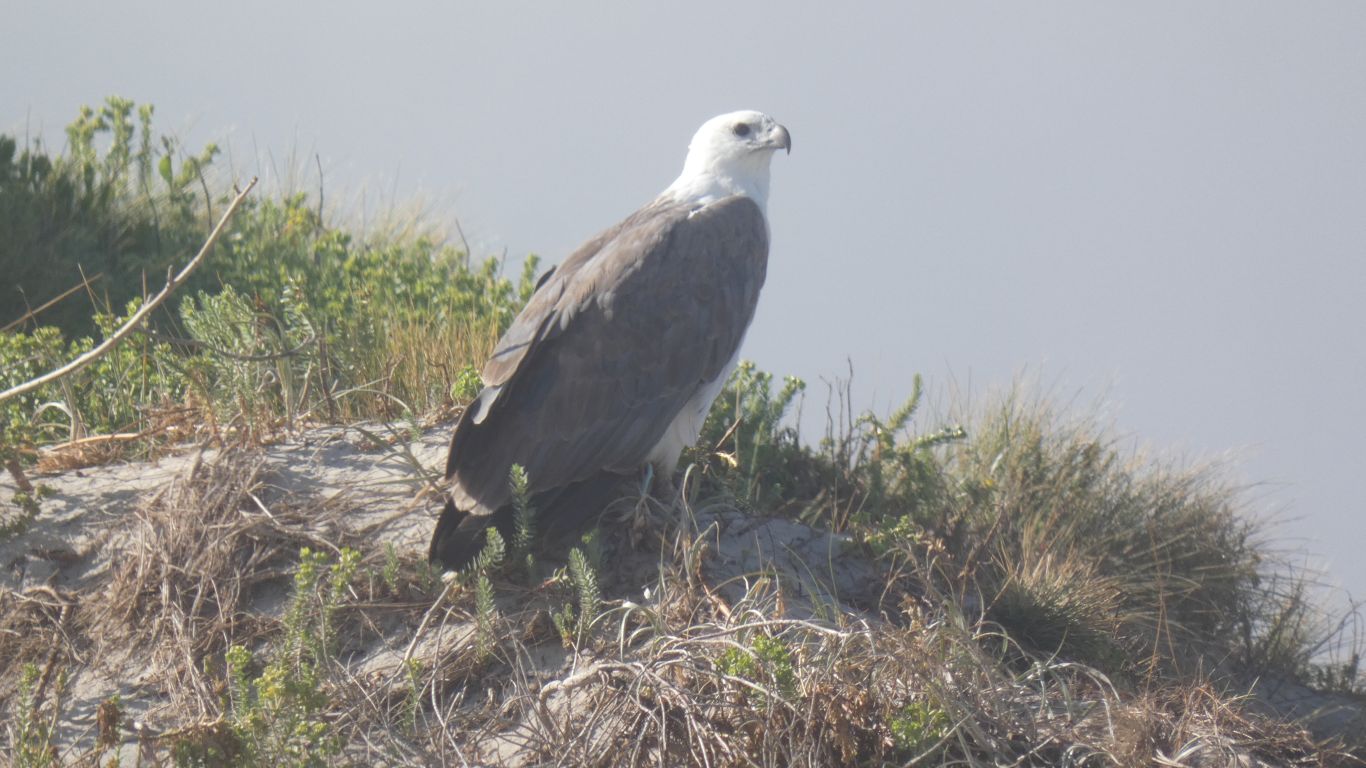
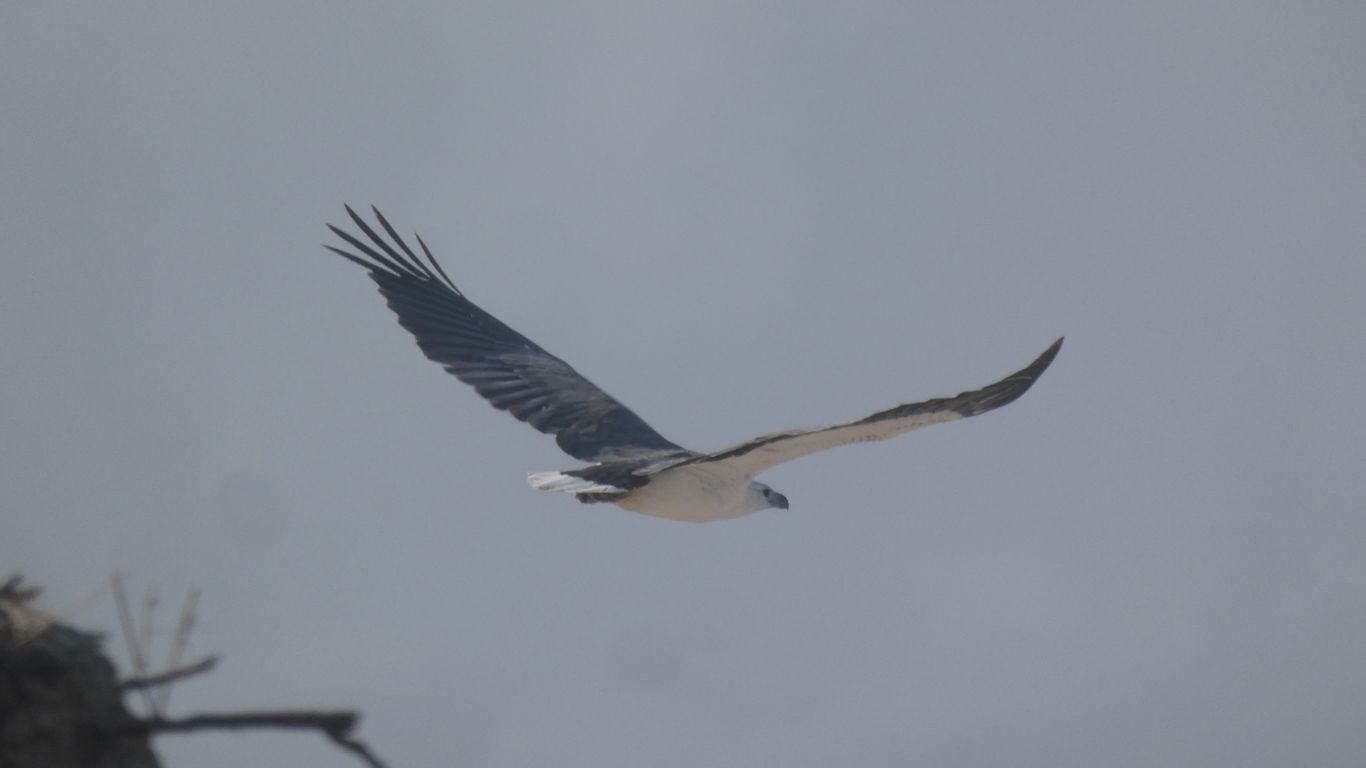
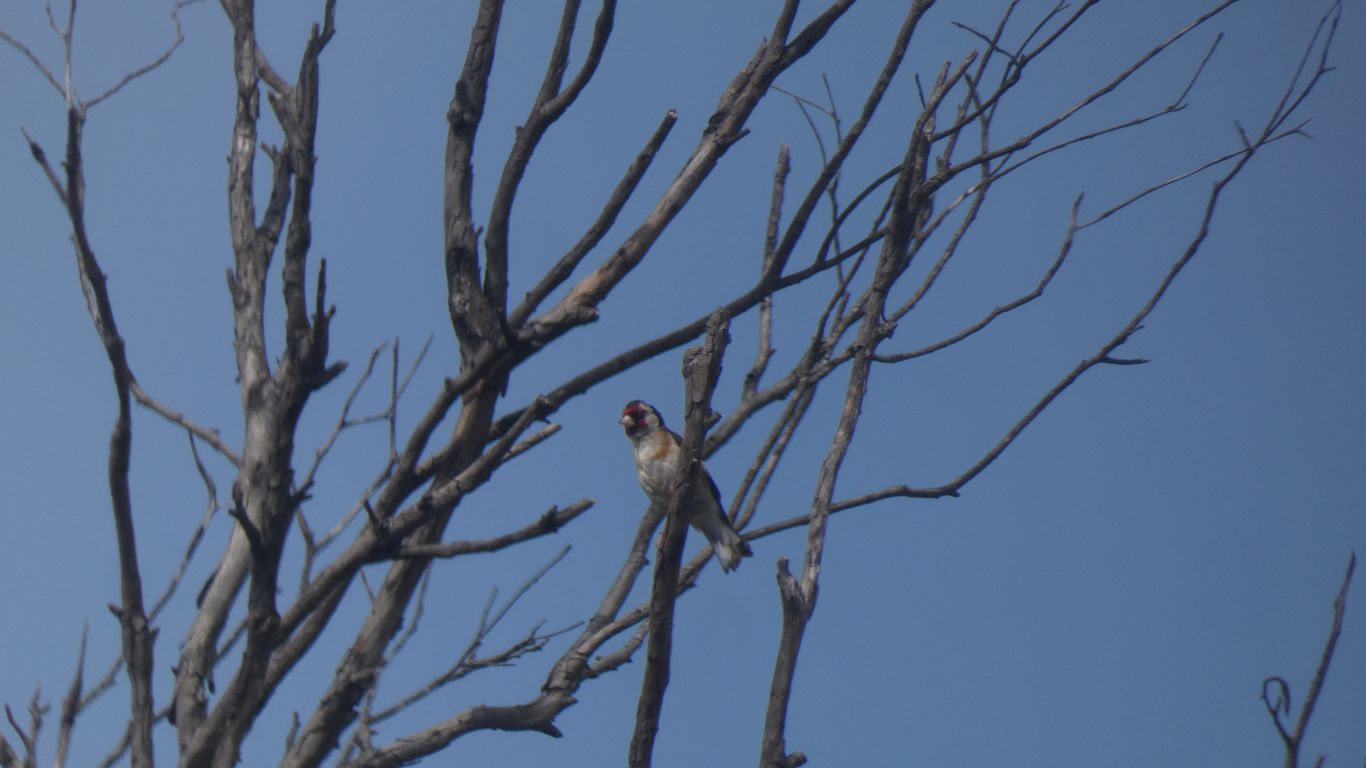
There are several different birds in the bushes next to the truck. This is the best I could do. Just a fleeting glimpse.
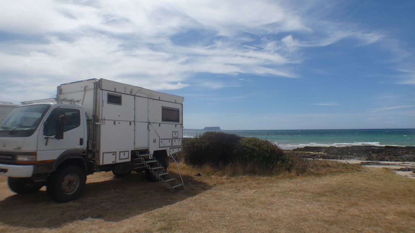
It really is West. The most westerly point of Tasmania. Not the US military officer training establishment with grand visions of protecting "the west" slowly becoming consumed by the mists of time and presidential behaviour.
And why do some birds stand for long periods on one leg?
Answers in a self addressed email please .....
Hard to miss one may imagine. But we managed to not find it.
Either we are looking in the wrong place, or our powers of observation are sadly depleted.
The site was excavated in 1966. We are struggling to reconcile site descriptions to where we are searching.
But we've run out of steam.
Sadly, time to surrender our amateur archeologists membership cards.
To the north of it is Preminghana. An aboriginal reserve.
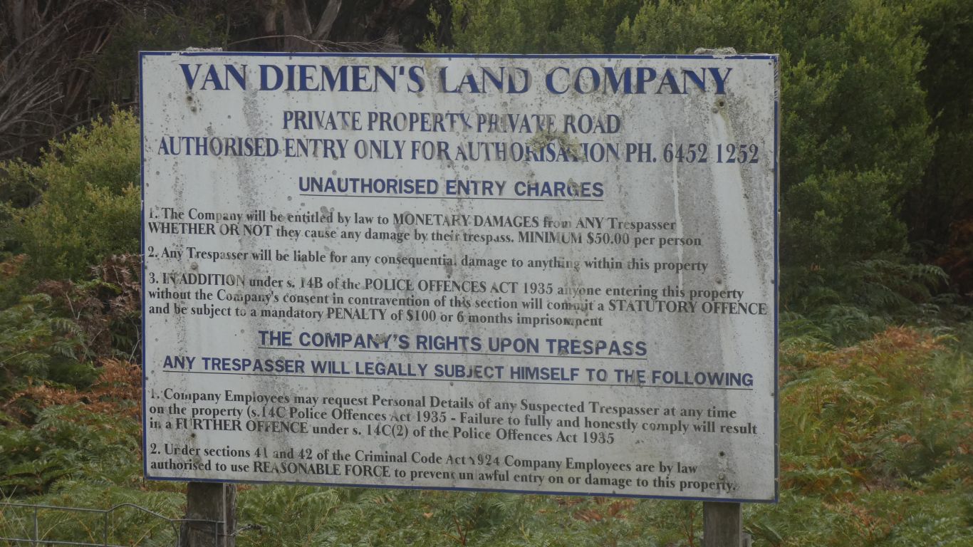
It existed until a few years ago, recent enough to have $ on the sign.
And enough of history to have an ostentatious sign from the arc.
The area that is Woolnorth is now in the hands of a Chinese company, a change of name to Van.
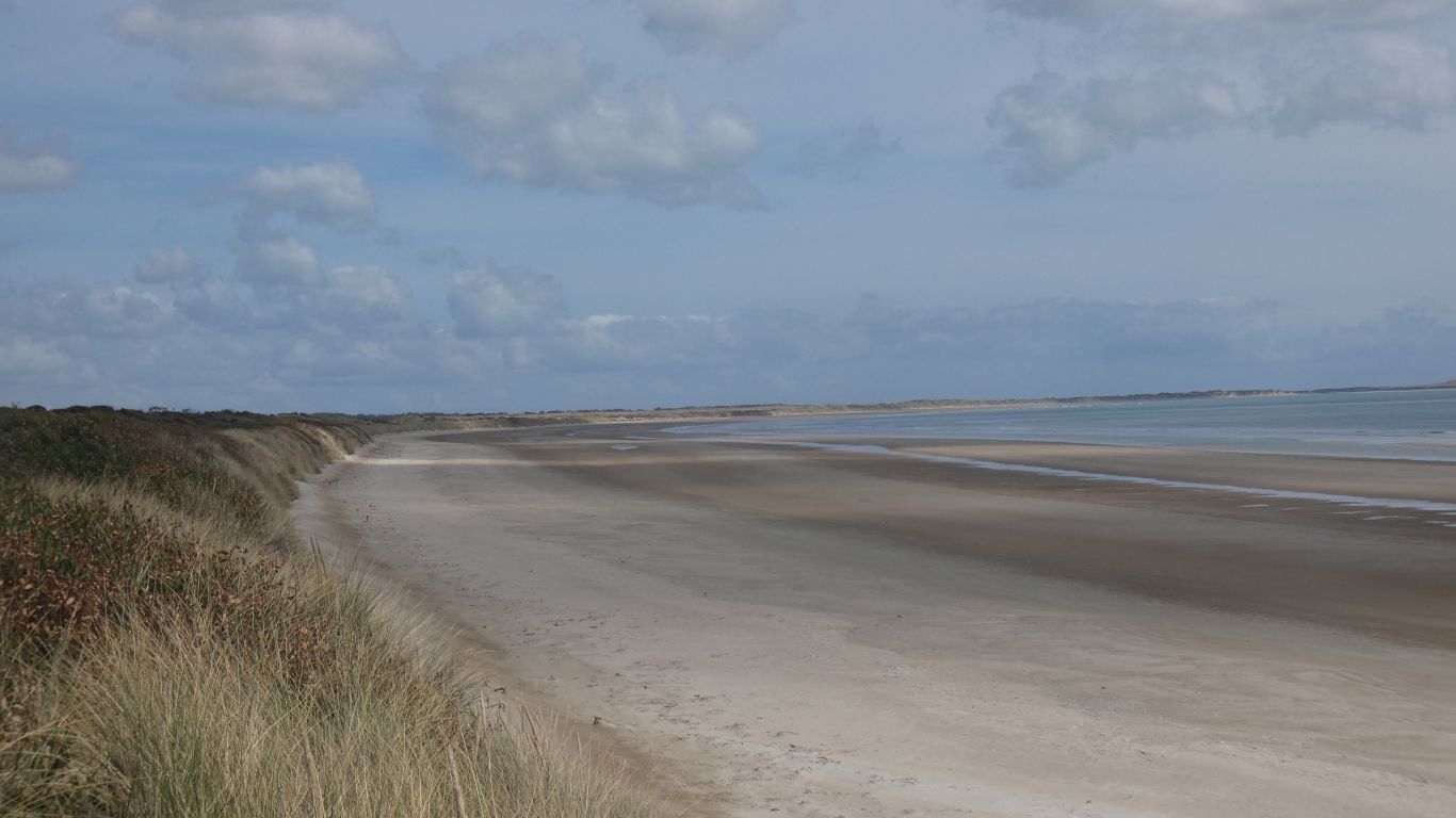
We walked as far as the beach, and greeted two people returning.
"How far did you walk?" we asked. "Just to the beach".
"We were hoping to walk as far as the petroglyphs" we said. And after a bit of thought one asked "what's a petroglyph?".
They were surfers, looking for surf.
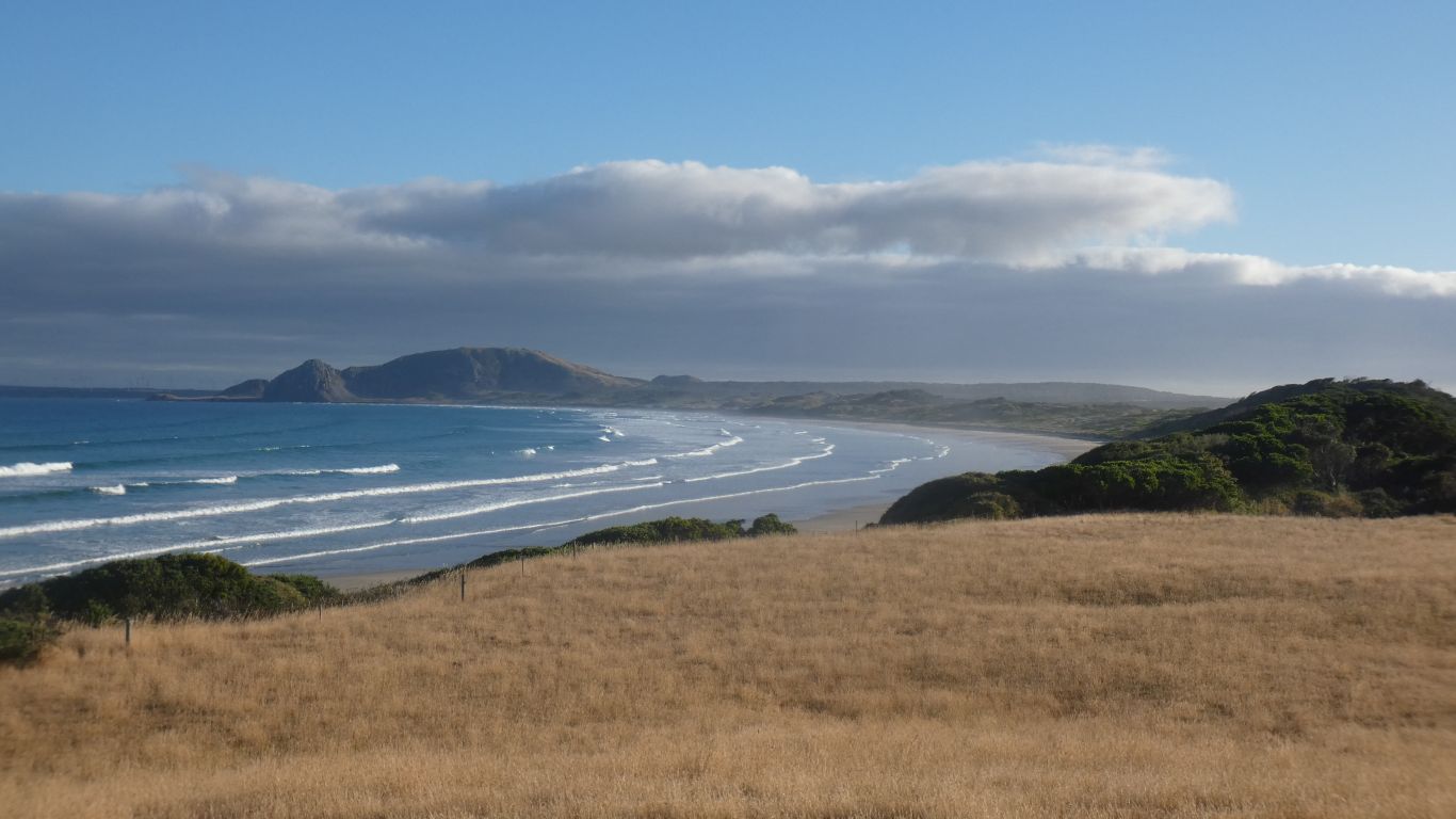
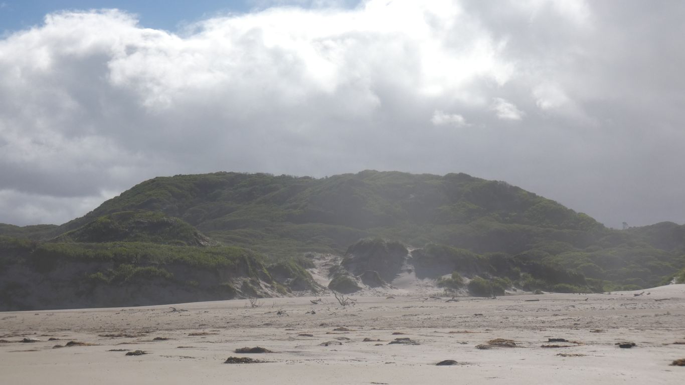
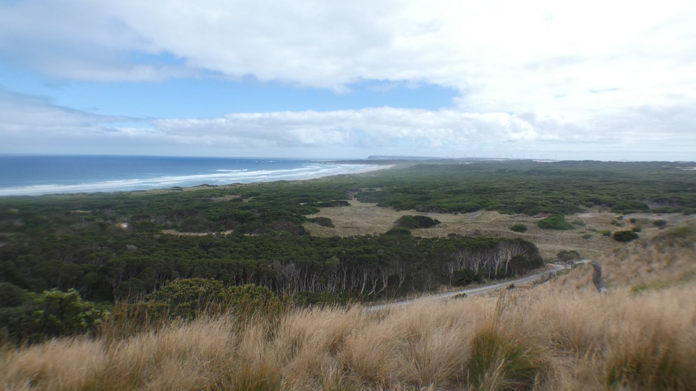
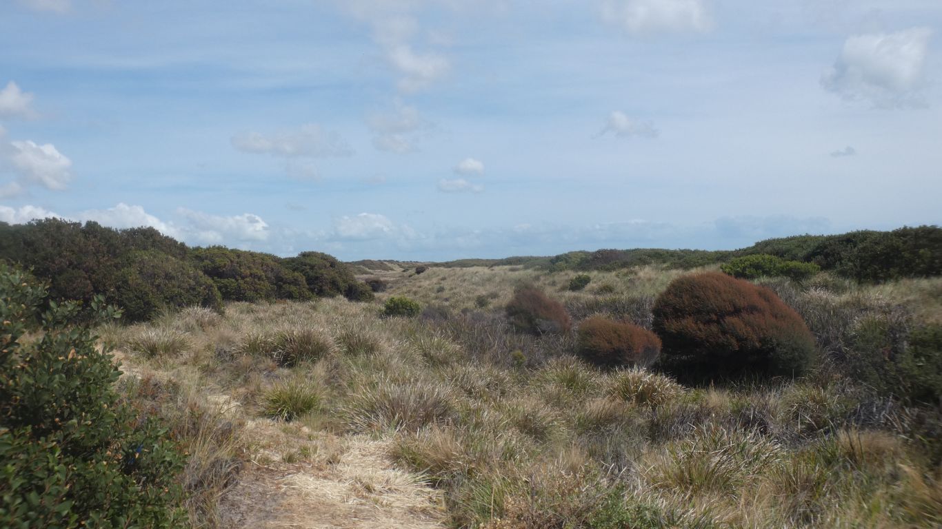
The petroglyphs are reputedly covered with sand for protection, from weather and people. We are still tired from futile exertions at West Point. We beat a retreat.
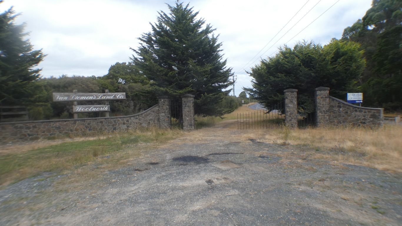
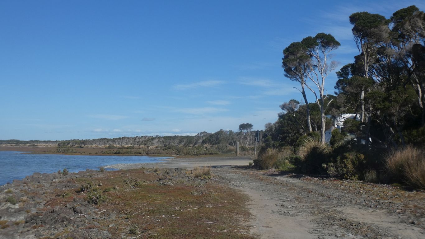
Woolnorth Road now passes to the right. As if passing a moment in time.
We stop at the boat ramp.
One landcruiser passes us, headed to the island. The driver has made the trip previously.
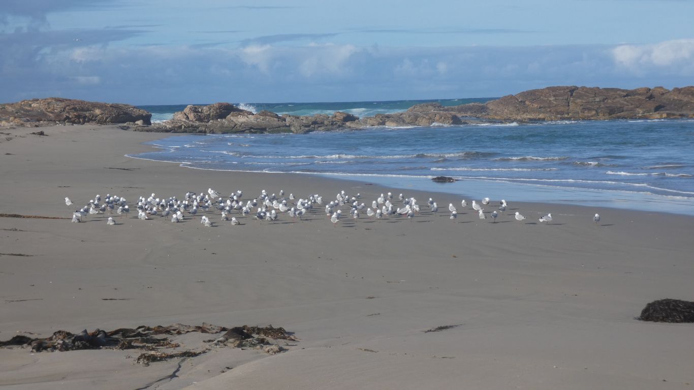
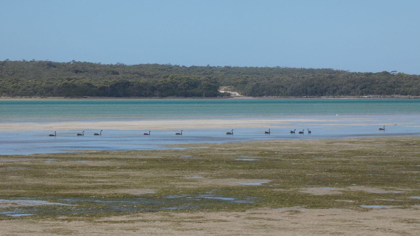
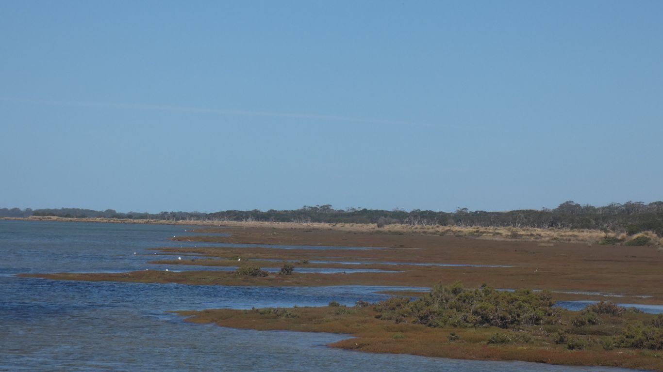
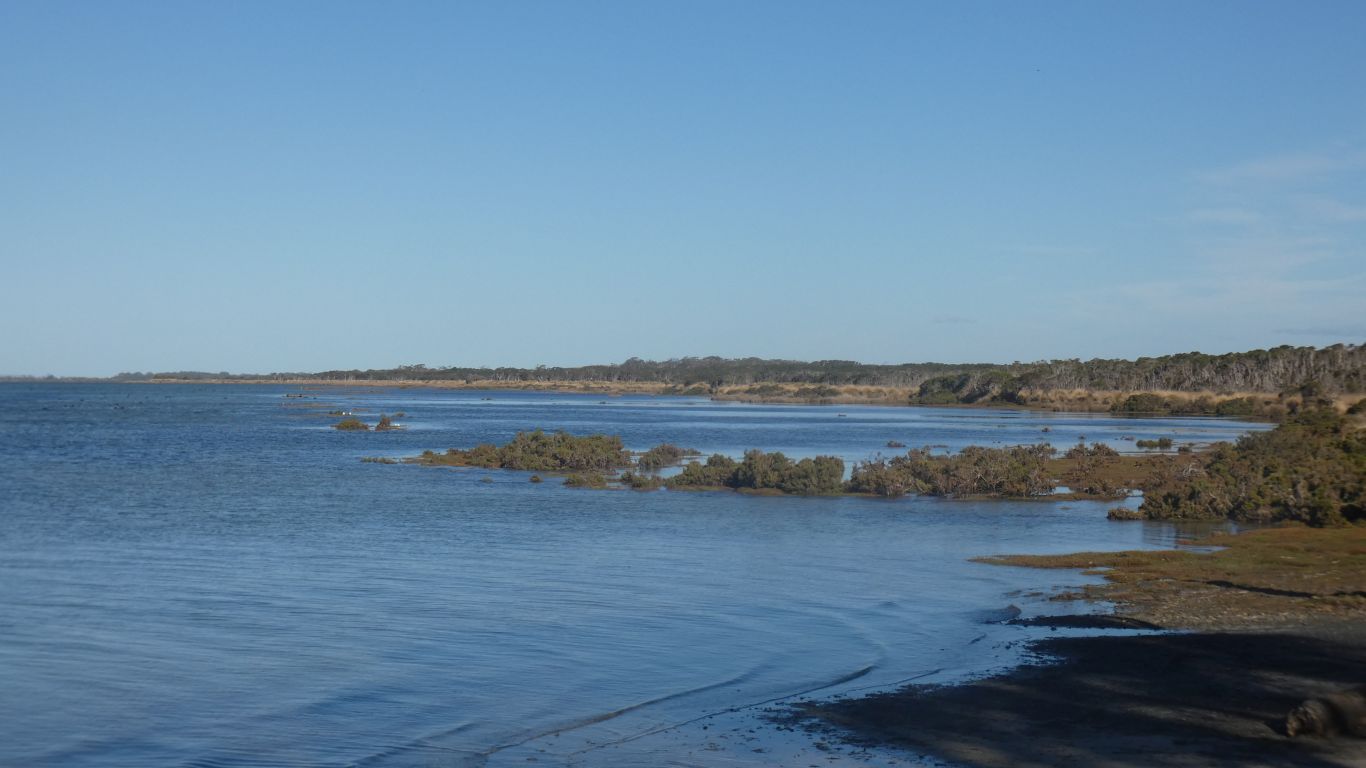
There are sand flats as far as we can see. A small channel near the island.
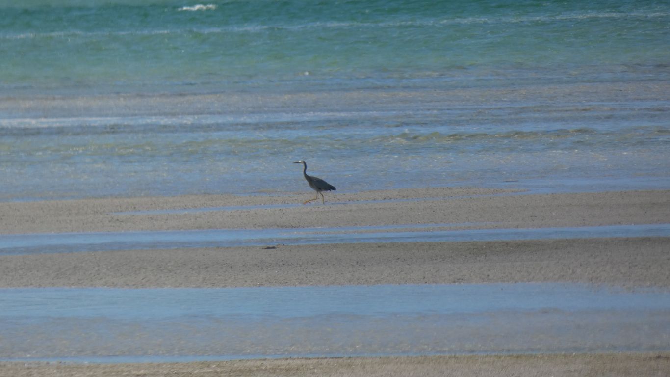
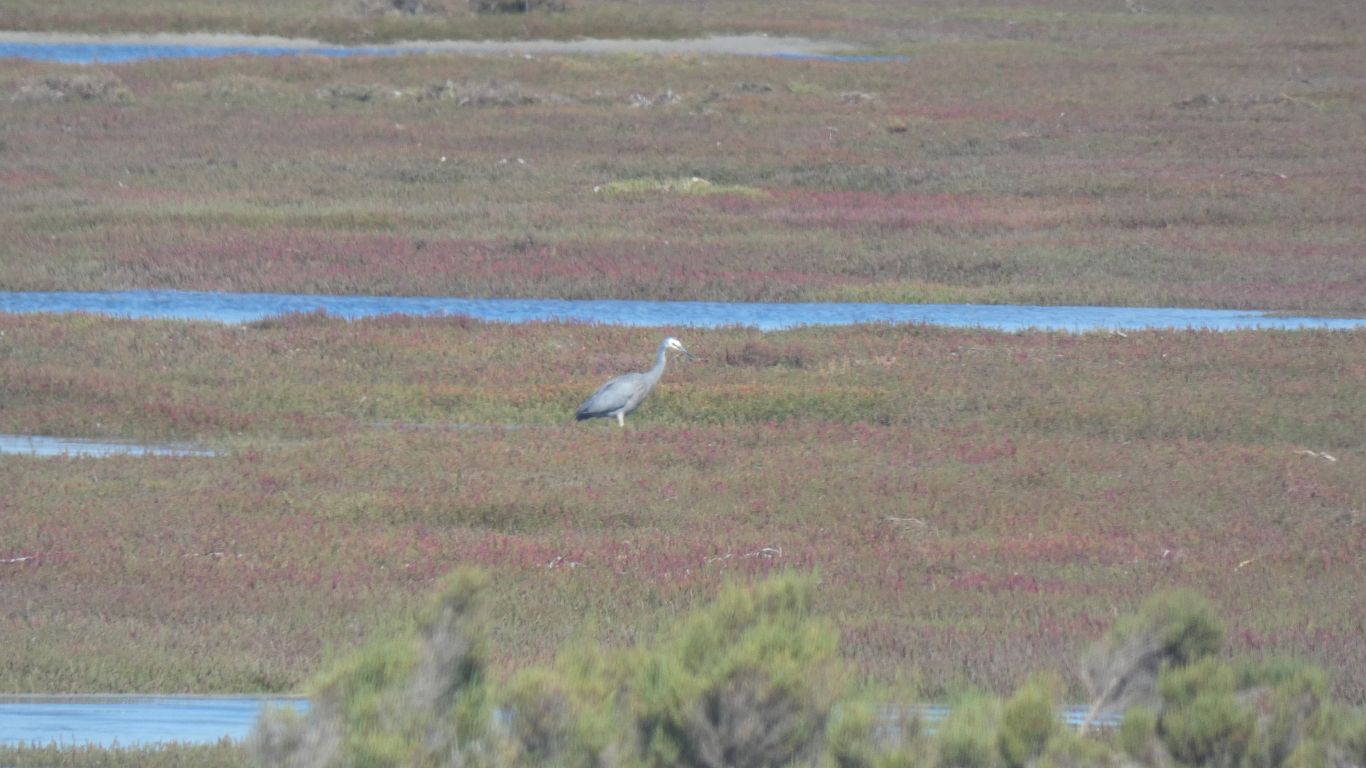
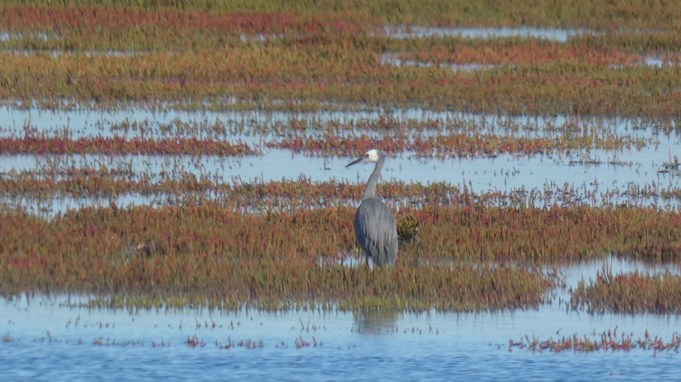
A solitary white faced heron.
Earlier we saw a young lady walking towards us across the flats.
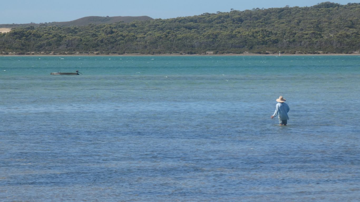
Once the tide came in a gentleman appeared and walked towards the boat we had noticed moored at the edge of the channel.
He brought the boat to land, unpacked it, and stored it above the high tide mark.
It stopped short of us and reversed. As it its wont.
At dawn the following morning (no pics) the wind had changed, to northerly, which brought the high tide closer to us.
But still dry. Just.
The forecast dire. No solar all day. So we plan a pizza at Tall Timbers.
We fill with water, empty loo, a big supermarket shop, and retire to camp.
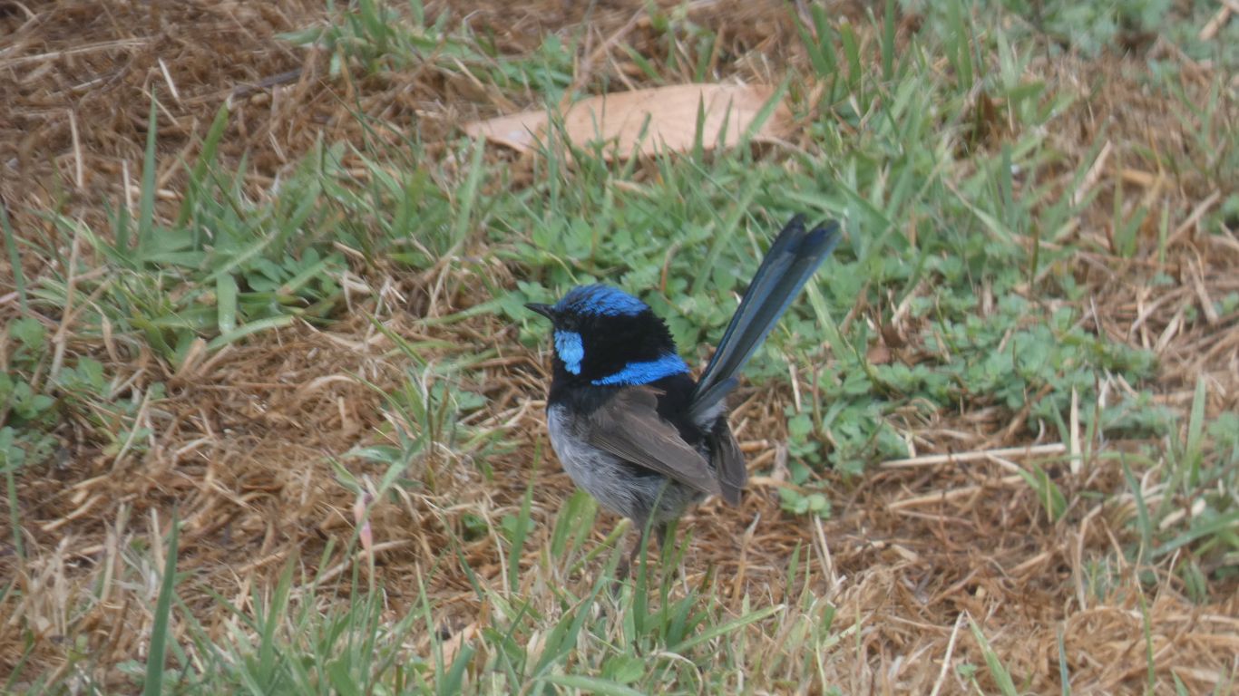
We are lucky. The rain passes. The batteries fill. The wrens entertain.
The pizza is good.
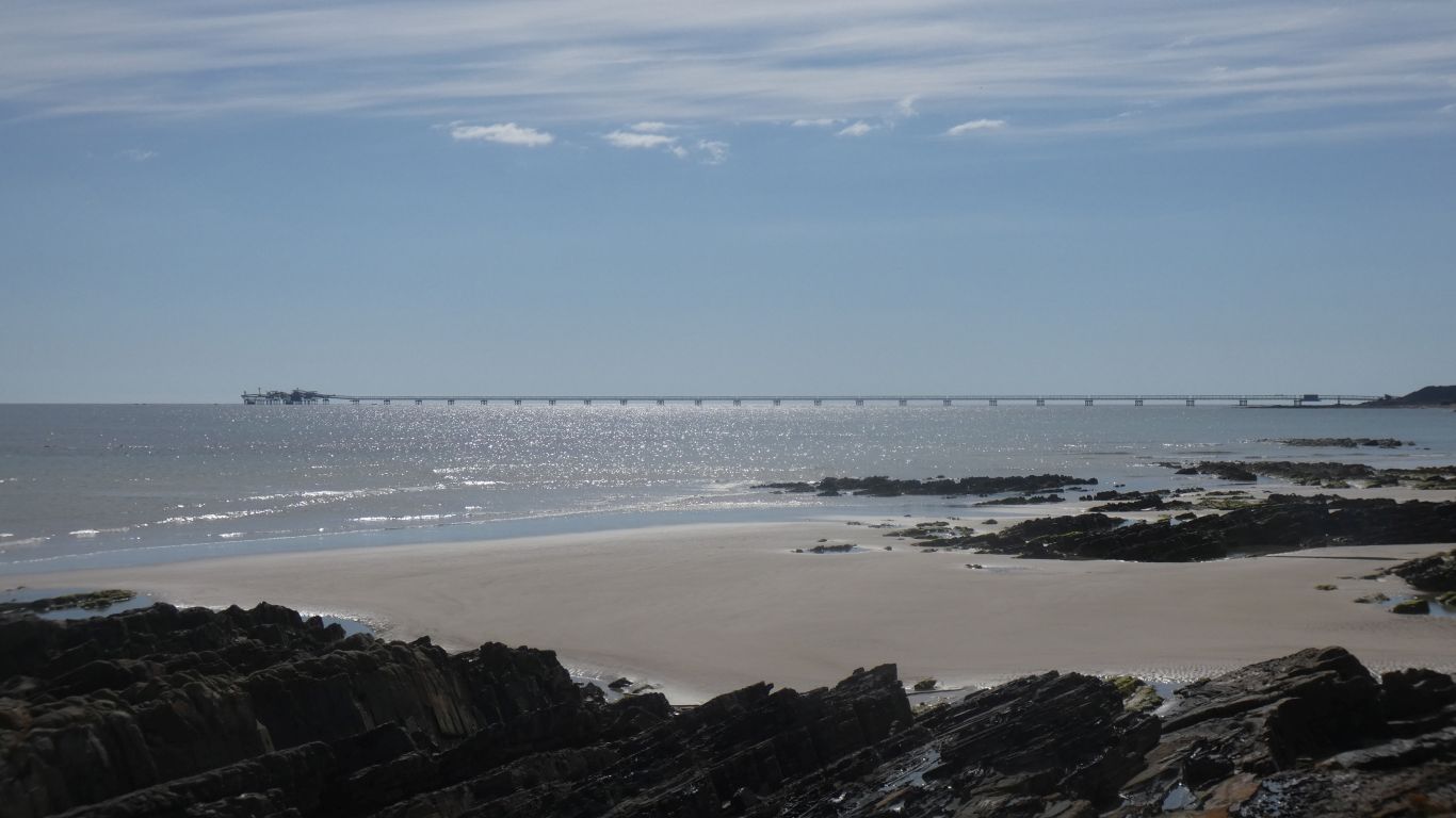
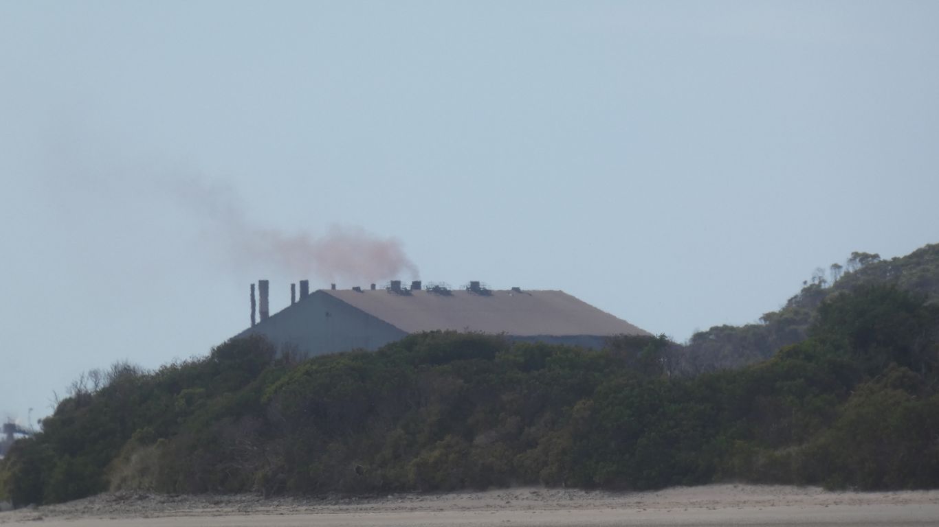
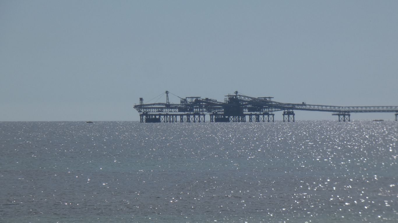
Just to the east of us is the end of the 85km slurry pipeline from Savage River Mine (Magnetite).
If we walk far enough, and cross Black Creek, we would reach Stanley.