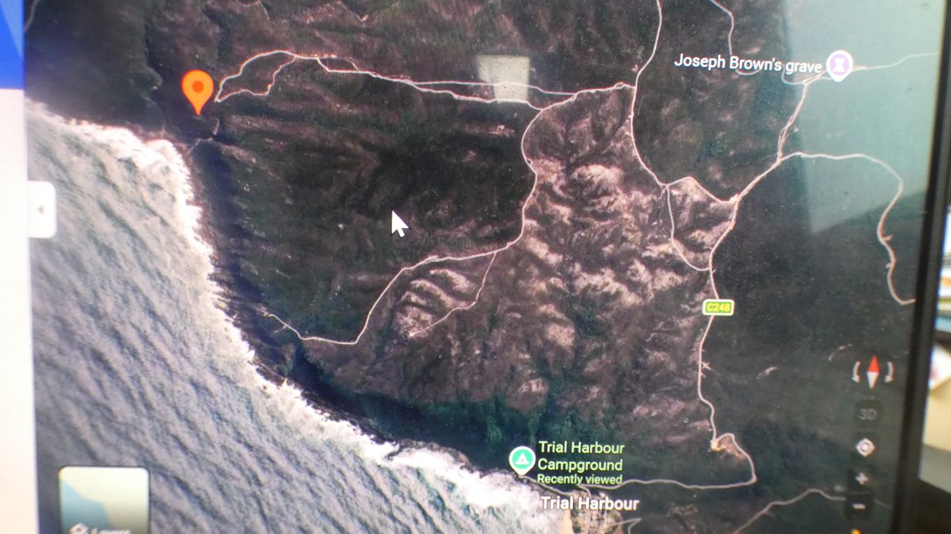
The aim is to walk up the main road from campground, turn left into Climies Track, then left again, 2nd right, to the marker at Cornwall Mine.
Then either down to the sea and walk back along the coast, or retreat the way I came.
A solo effort while Ali's foot repairs itself.
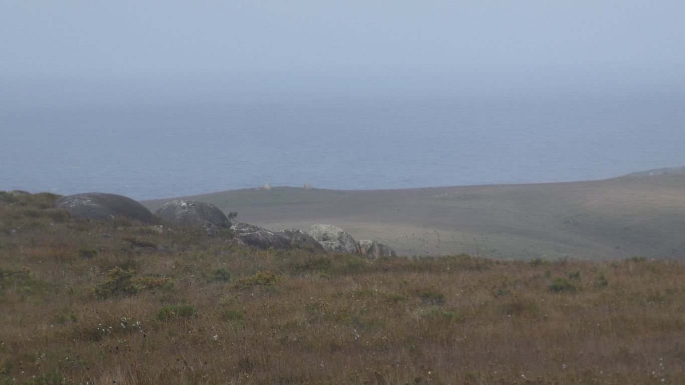
Estimate about 6km to the mine, and 4km along the coast.
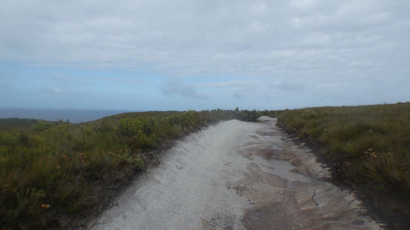
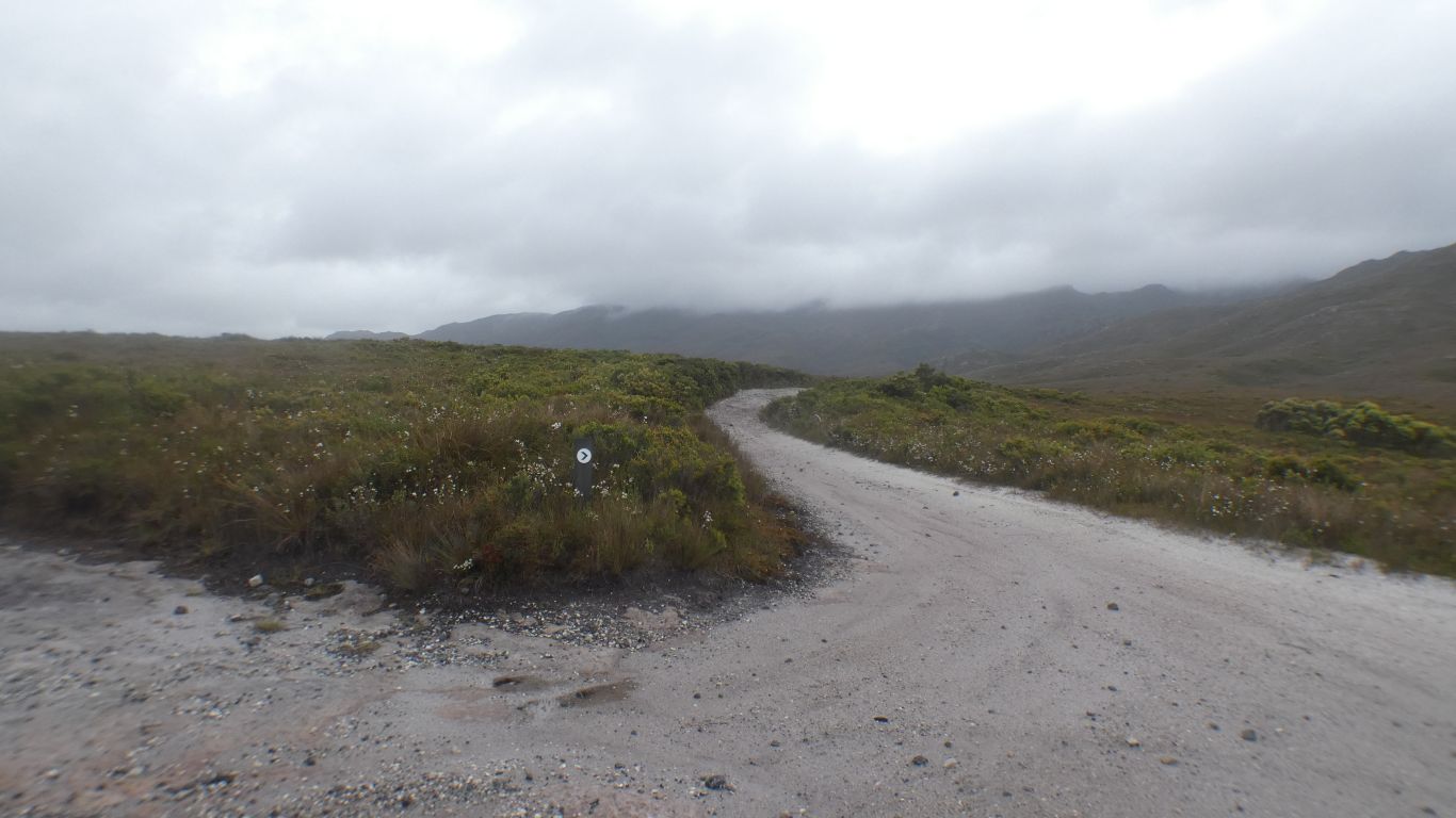
About 3km to the start of Climies Track. An easy walk up a steady 10% grade.
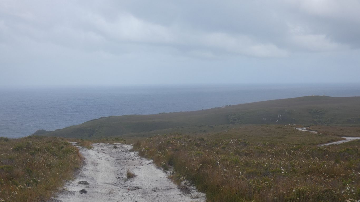
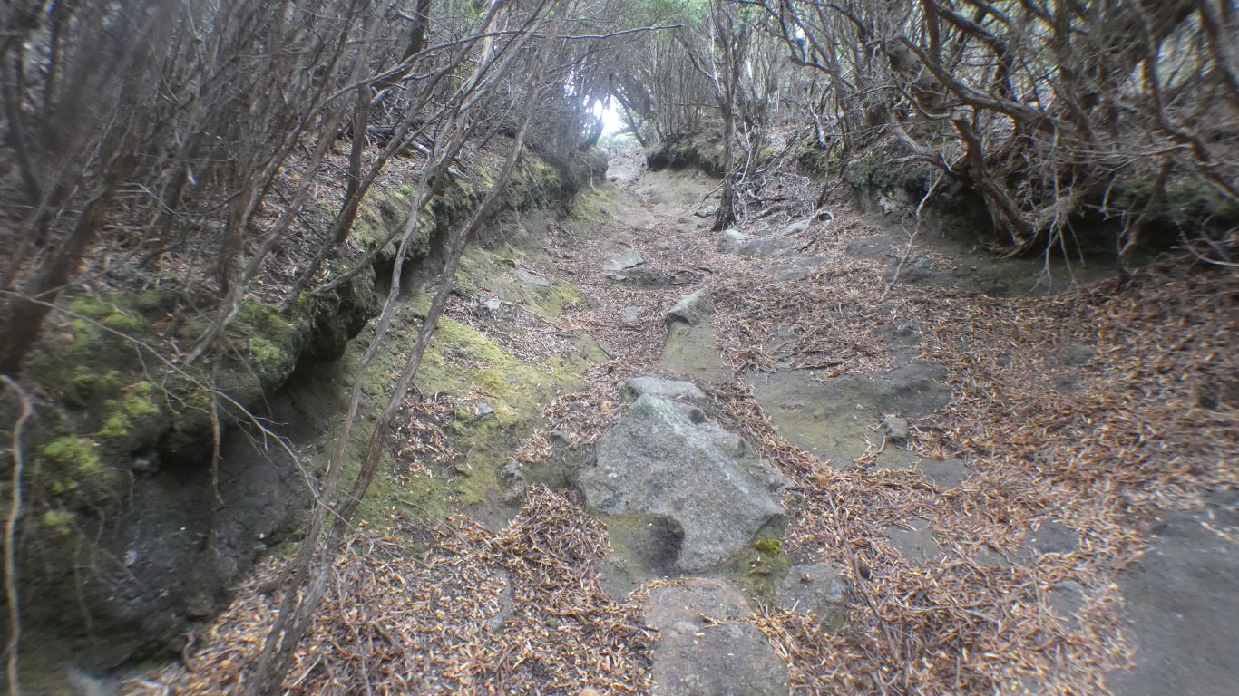
The track is reputedly hard core 4wd. So far a thin covering of sand over granite.
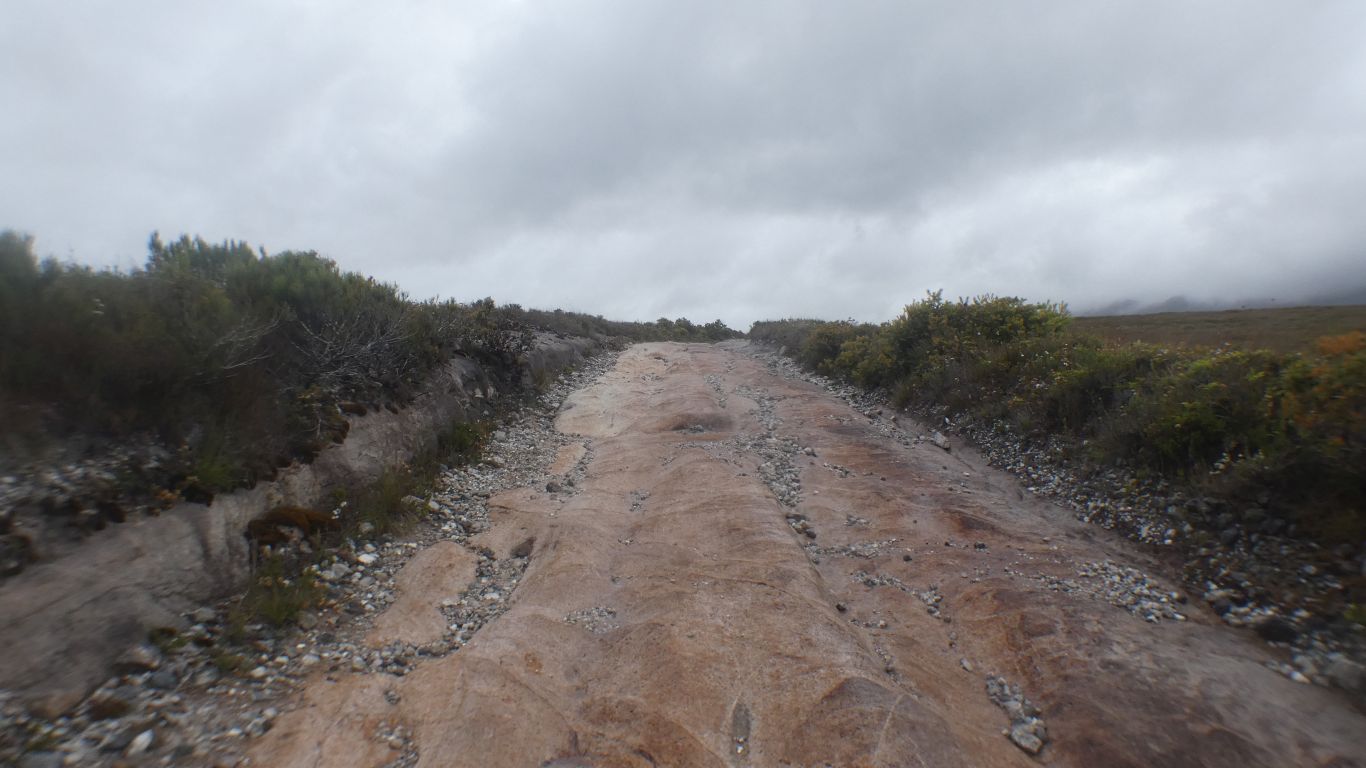
It gets harder, with mud in the dips, and deep grooves in the rock.
Walking is much easier.
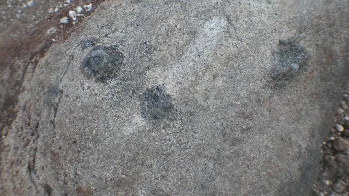
Far from gem quality, but definitely crystalline.
There's a mix of red and white granite. Fairly coarse.
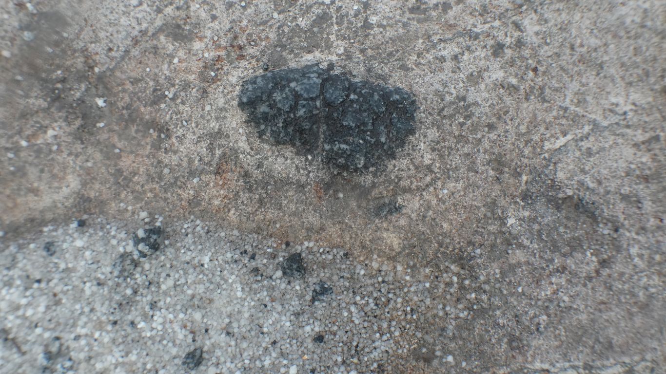
This reminds me of small garnets I observed in Nepal.
Identifiable in a satellite view. I have no further info on what's there.
I suspect the next track north leads to another mine, but I can't find much info and decided not to look. I did ponder it as a shorter walk, a shorter loop, but didn't know if there was a way down to the sea.
The weather has held. Overcast. But a pleasant temperature for walking. I have a woolly hat.
In some places its spelled Cornwell.
Looks ok!
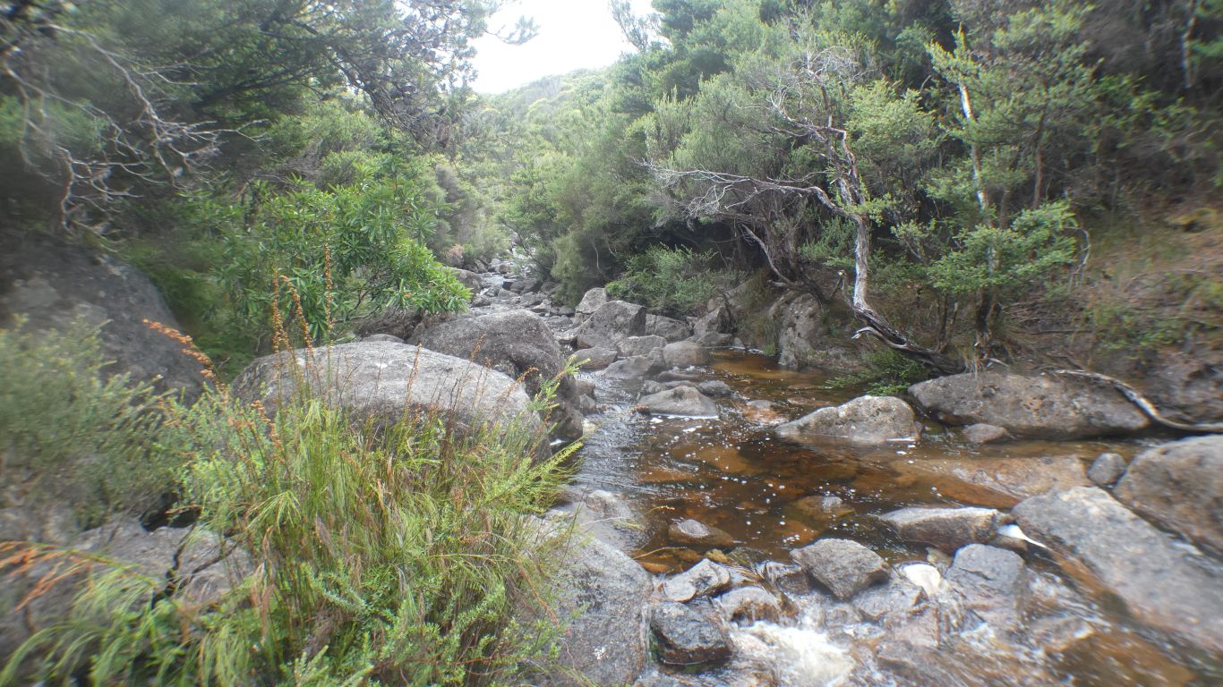
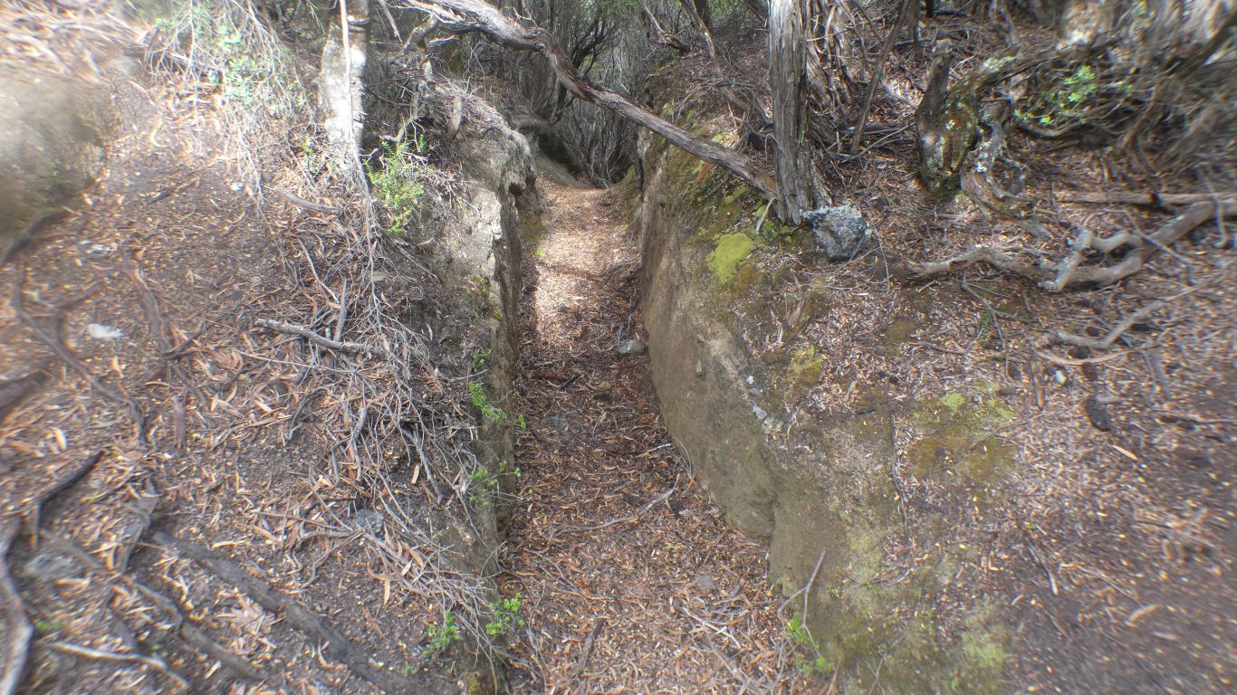
I follow it to the creek. Should I cross, or follow?
Looks like it was built to divert the creek. Though whether it was to provide water for mining or to allow more comfortable mining in the creek I will perhaps never know.
There are apparently other dead end tunnels near, which I didn't find.
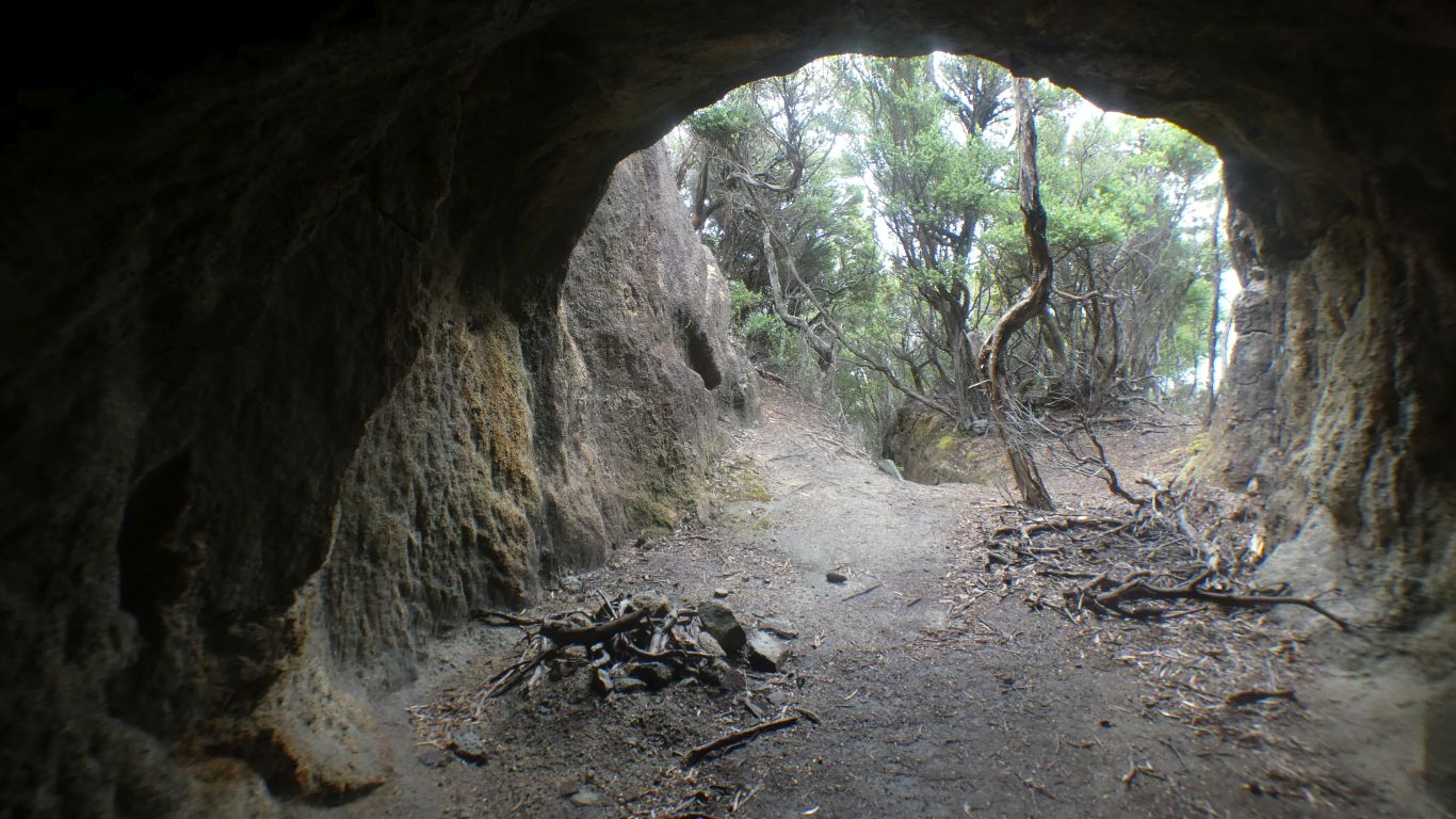
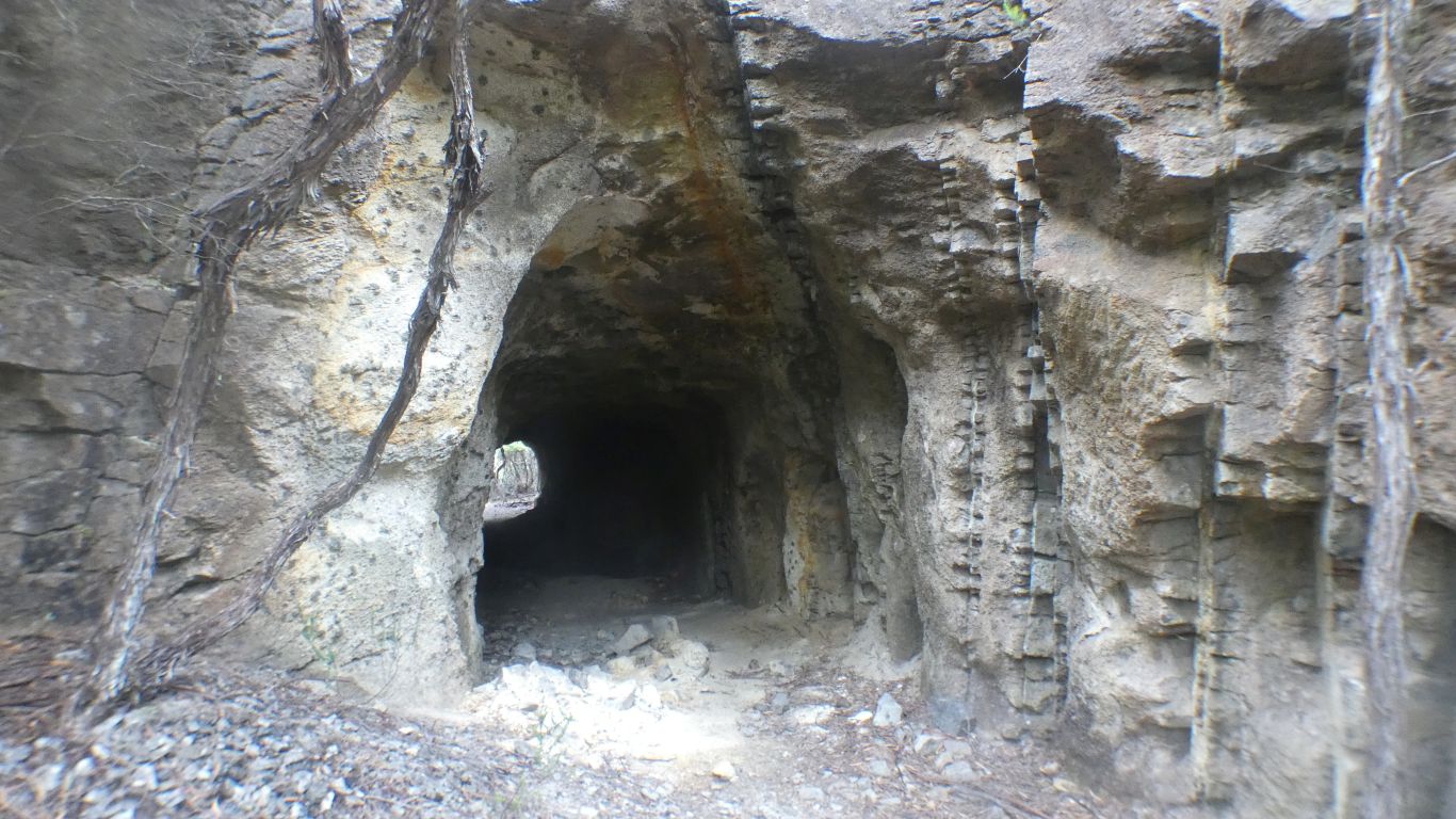
Its wide enough for hauling stuff through it, and tall enough for me to stand in.
The mind of the miner is, in this instance, beyond me.
This must have been a significant investment for unknown return.
From the mindat website "An abandoned old tin mine in Devonian Heemskirk granite, situated atop a sea cliff, on Wheel Bay, about 5km N of Remine. It contains some small workings in granite containing veins and pods of quartz and tourmaline, plus minor cassiterite and sulphides. Workings on a quartz tourmaline vein up to 0.7m wide include a shaft and an adit"
Remine is the original name for Trial Harbour.
I find neither the shaft nor the adit. Nor the quartz vein. My hats off to the original prospectors who found it.
Perhaps I should have looked in or to the other side of the creek - too late now!
It usually takes me more than one attempt to make sense of this sort of location.
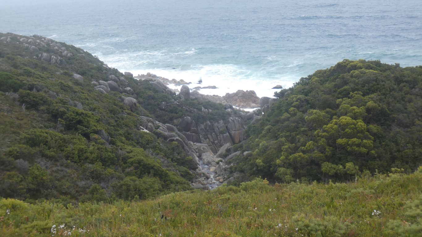
I follow it to the sea.
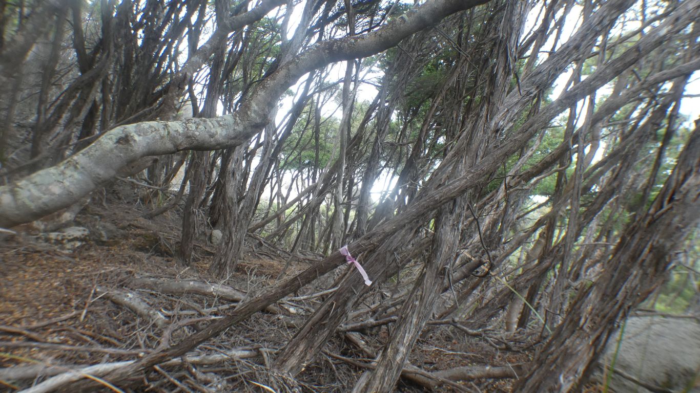
The faded pink ribbon the only marker I've seen or will see.
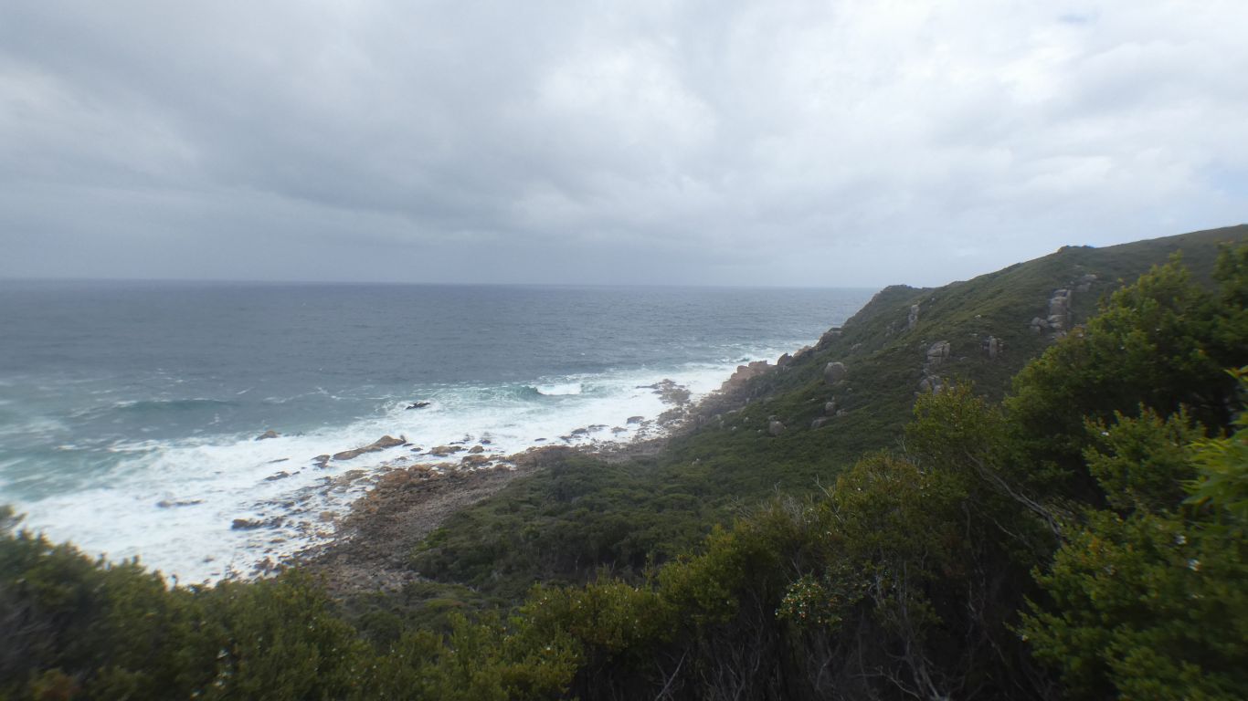
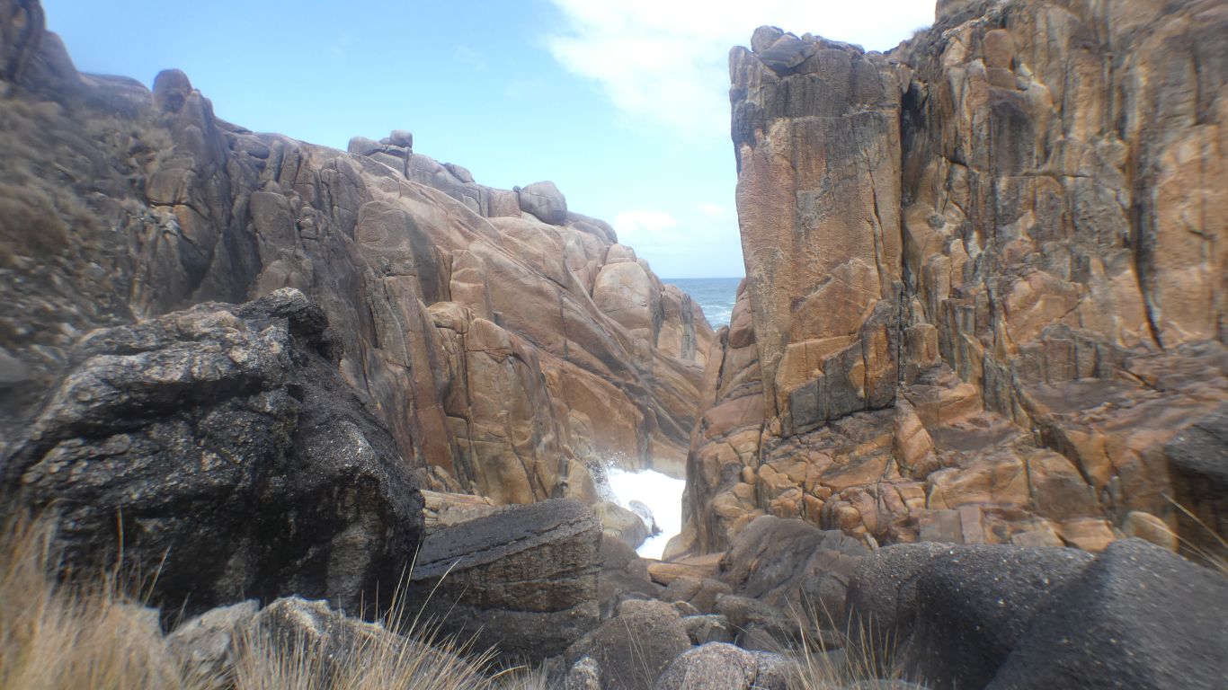
There is no marked track along the coast.
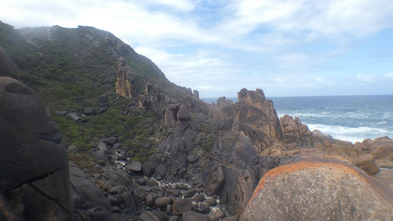
So far I've walked 6km fairly easily.
The next 3km is at times a struggle. Rocks impassable, vegetation impenetrable. There isn't an easy space between the rock and the hard place. I take turns at uneven rocks and being scratched.
A few times I attempt to imitate a wombat, there are a few spots with lots of burrows and poo, by crawling through the plant life.
But I'm committed. The prospect of trying to find the track back up the hill daunting, even with the gps tracker.
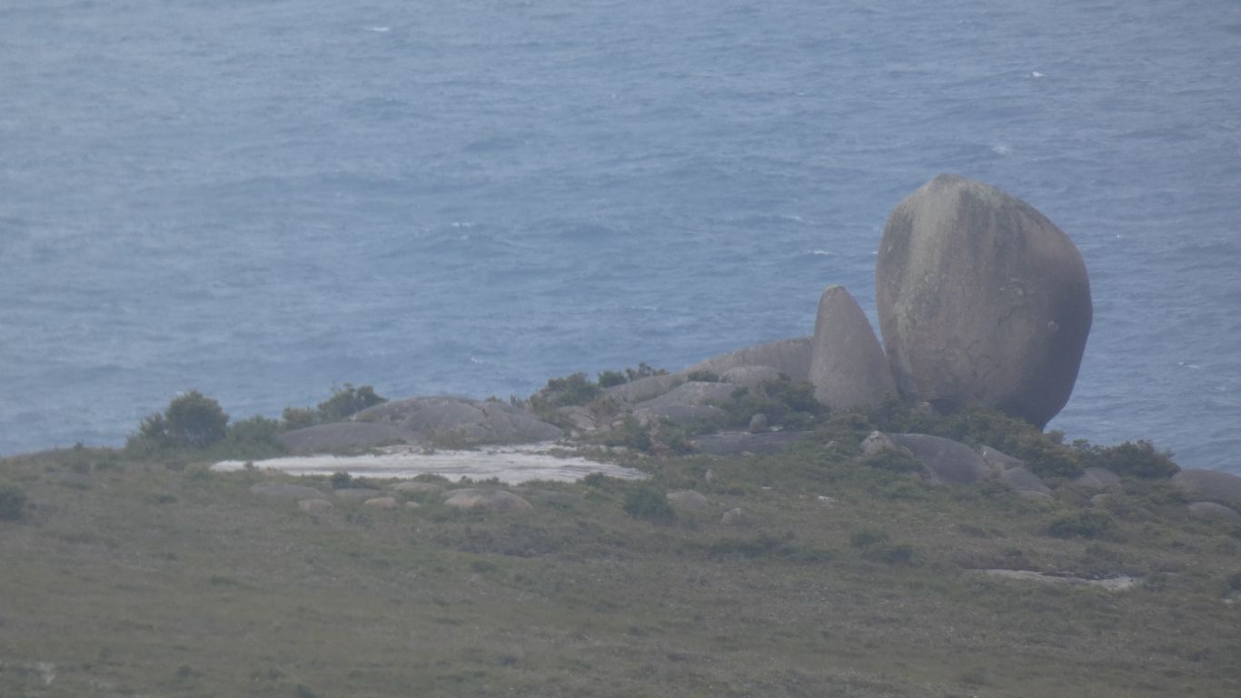
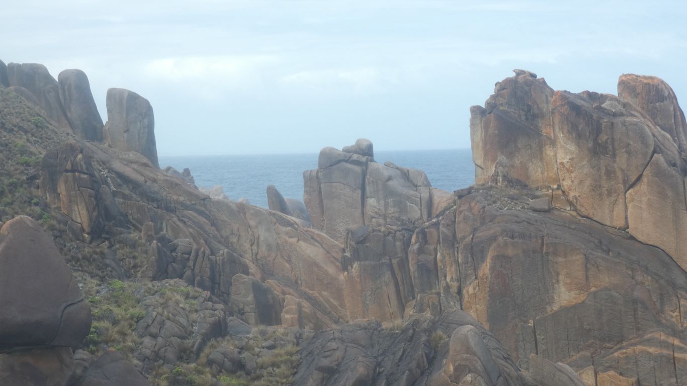
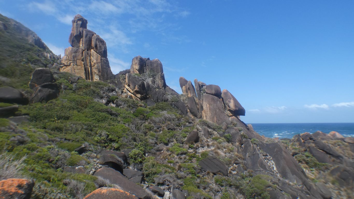
The compensation is the stunning wind and sea eroded granite formations.
I'm sure there's a way through.
A short shower creates another obstacle - I'm pleased my boots don't slip.
But I can tolerate difficult in these surroundings.
I grew tired, and had to concentrate on not making mistakes. Take care with each step.
Eventually I reach where we turned back yesterday.
About here the pics stop as I concentrate on walking the last km.
I'd radioed ahead, so Ali was expecting me, and had lunch ready.
Feeling my age, aching all over, but happy. Somewhere I stumbled, must have caught my knee on something, its seizing up and a bit sore.
Tomorrow a rest day ..... with perhaps a short walk!