
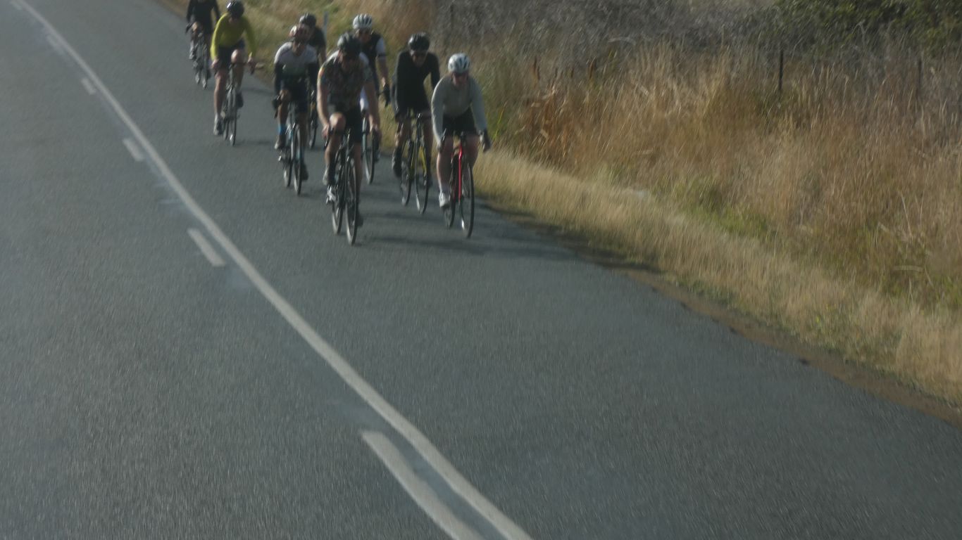
We want to head south, to Cockle Creek, but suspect campsites may be full.
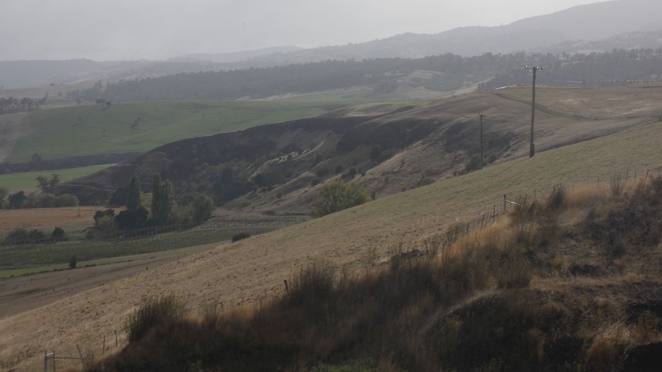
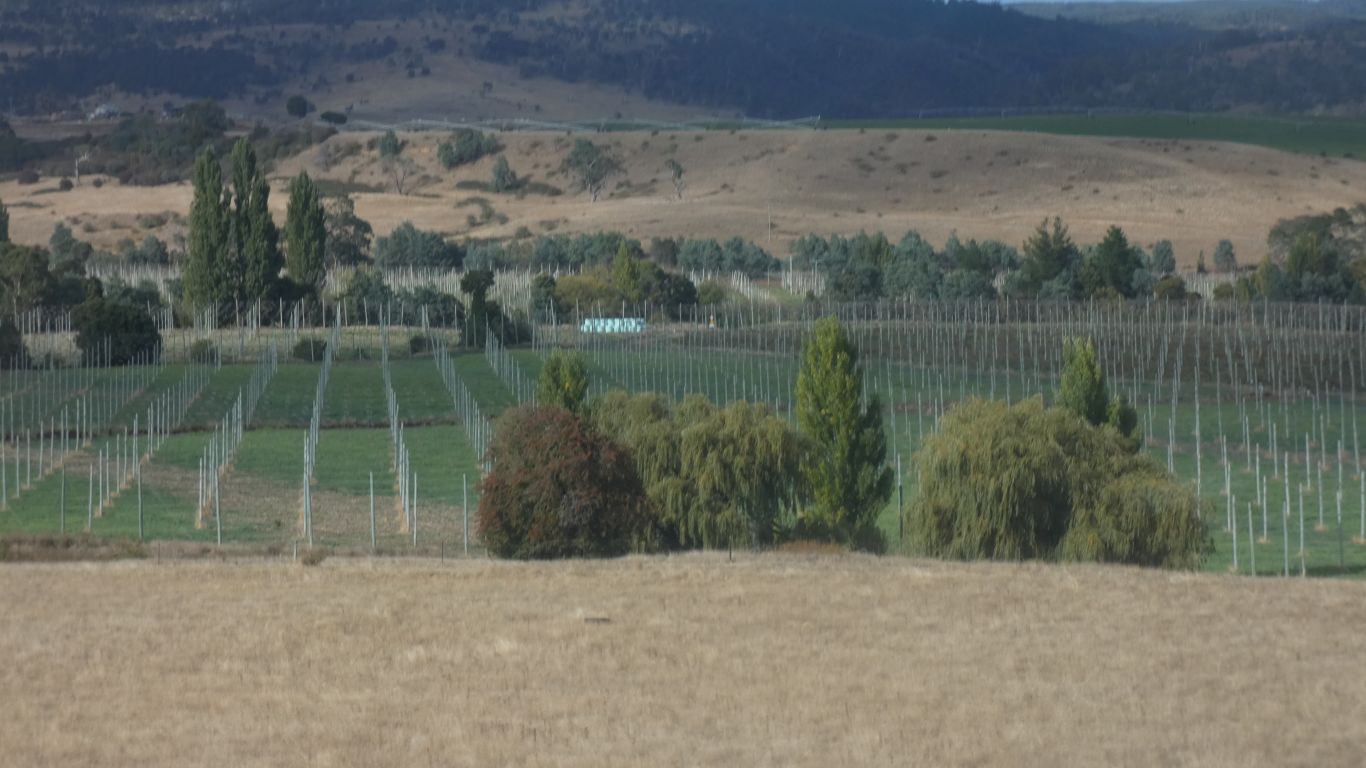
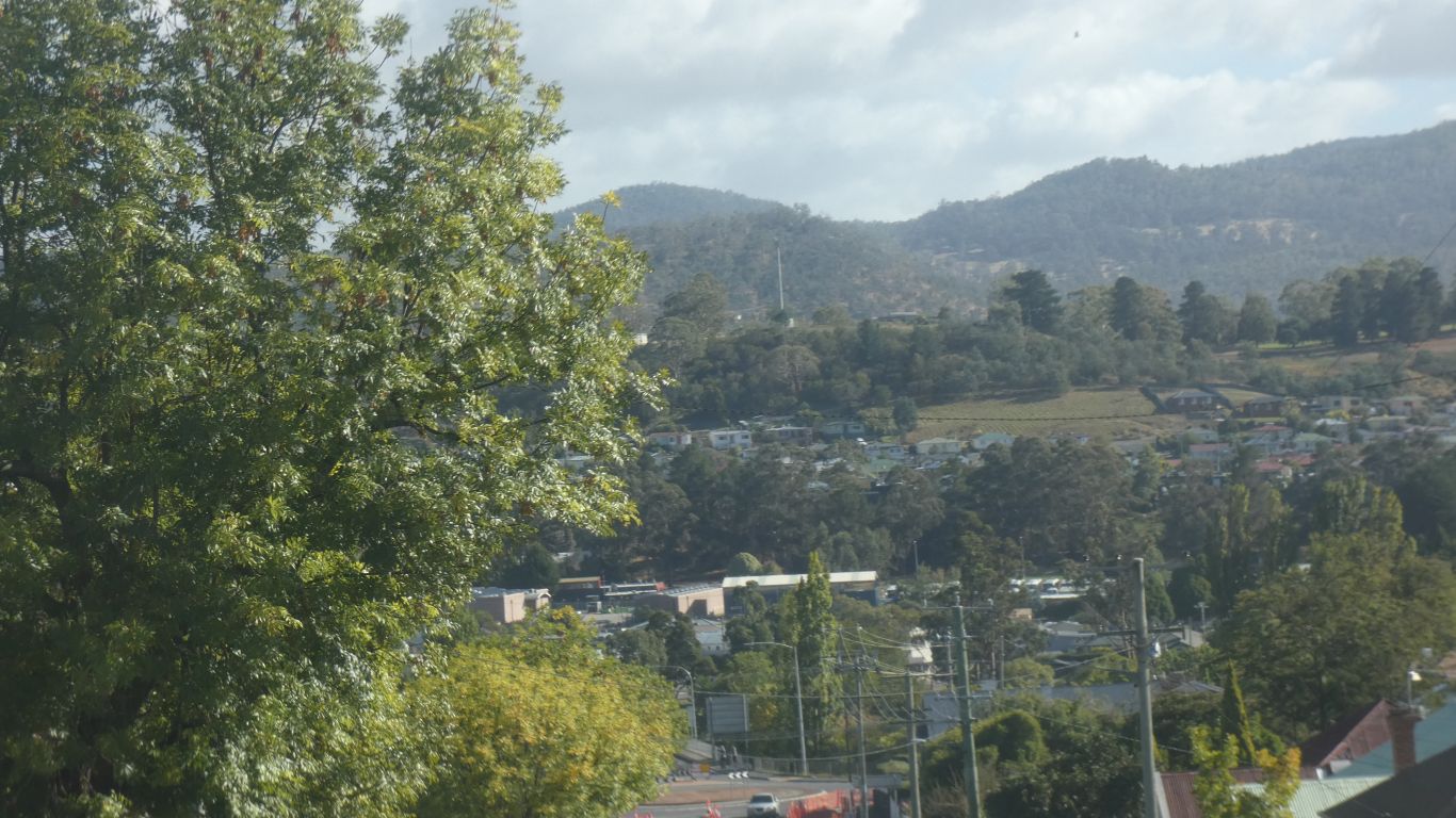
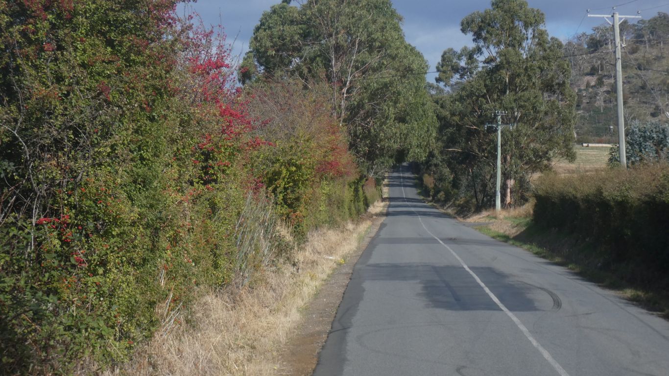
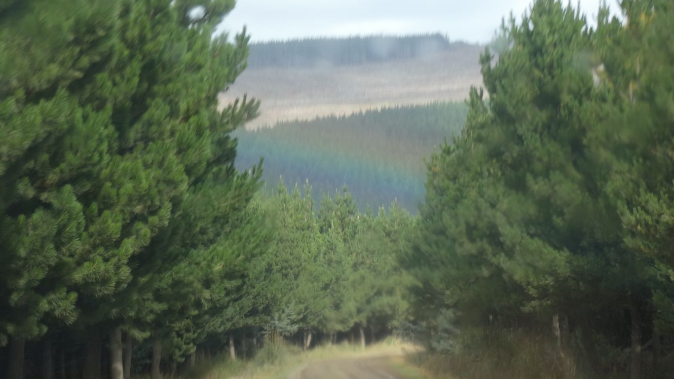
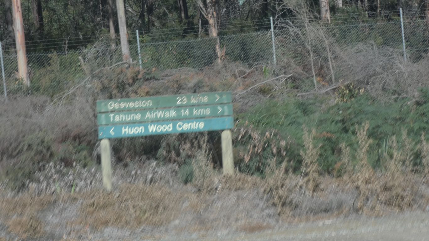
Phew.
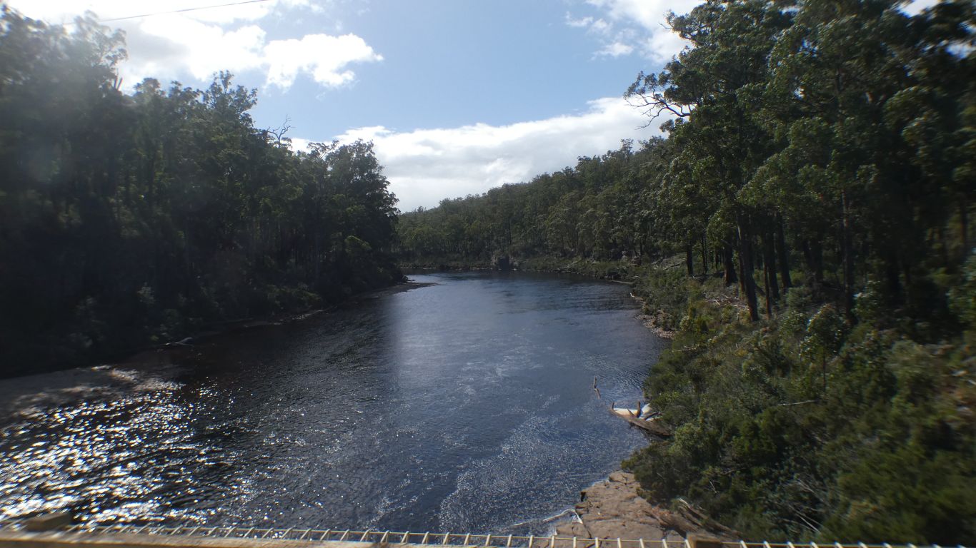
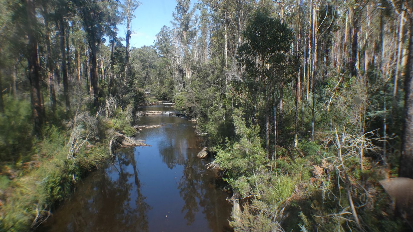
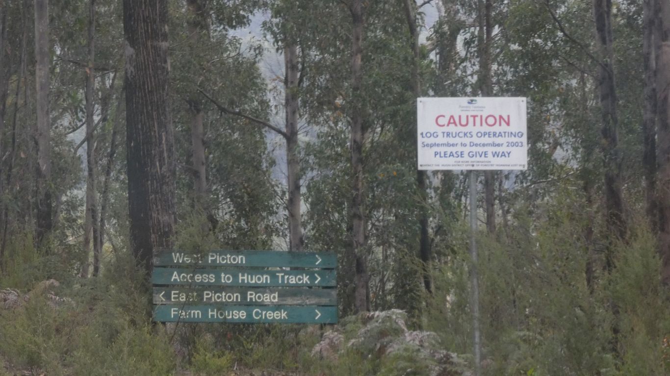
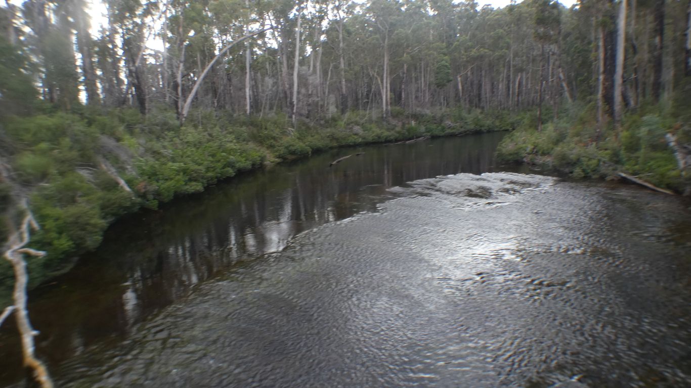
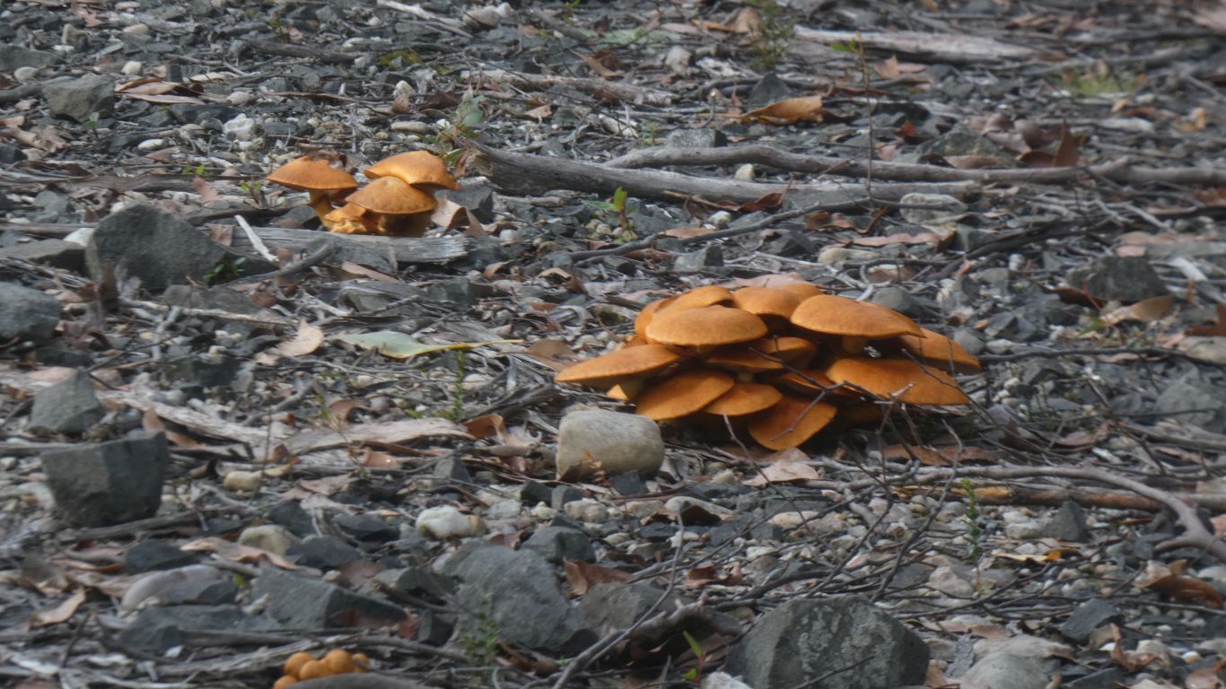
At the start of the Huon (walking) Track.
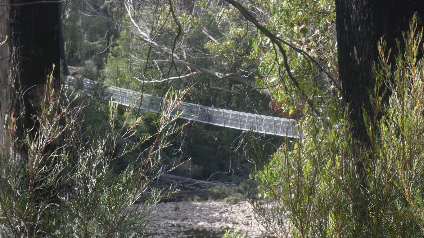
As well as the airwalk, a track suspended in the tree tops and a cantilever over the river, there's a loop across the Picton and Huon Rivers with swing bridges provided.
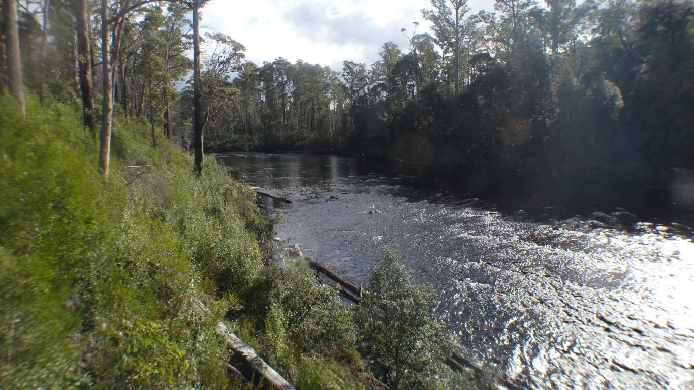
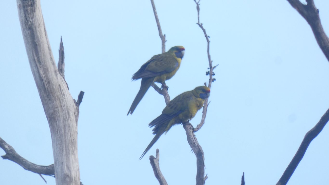
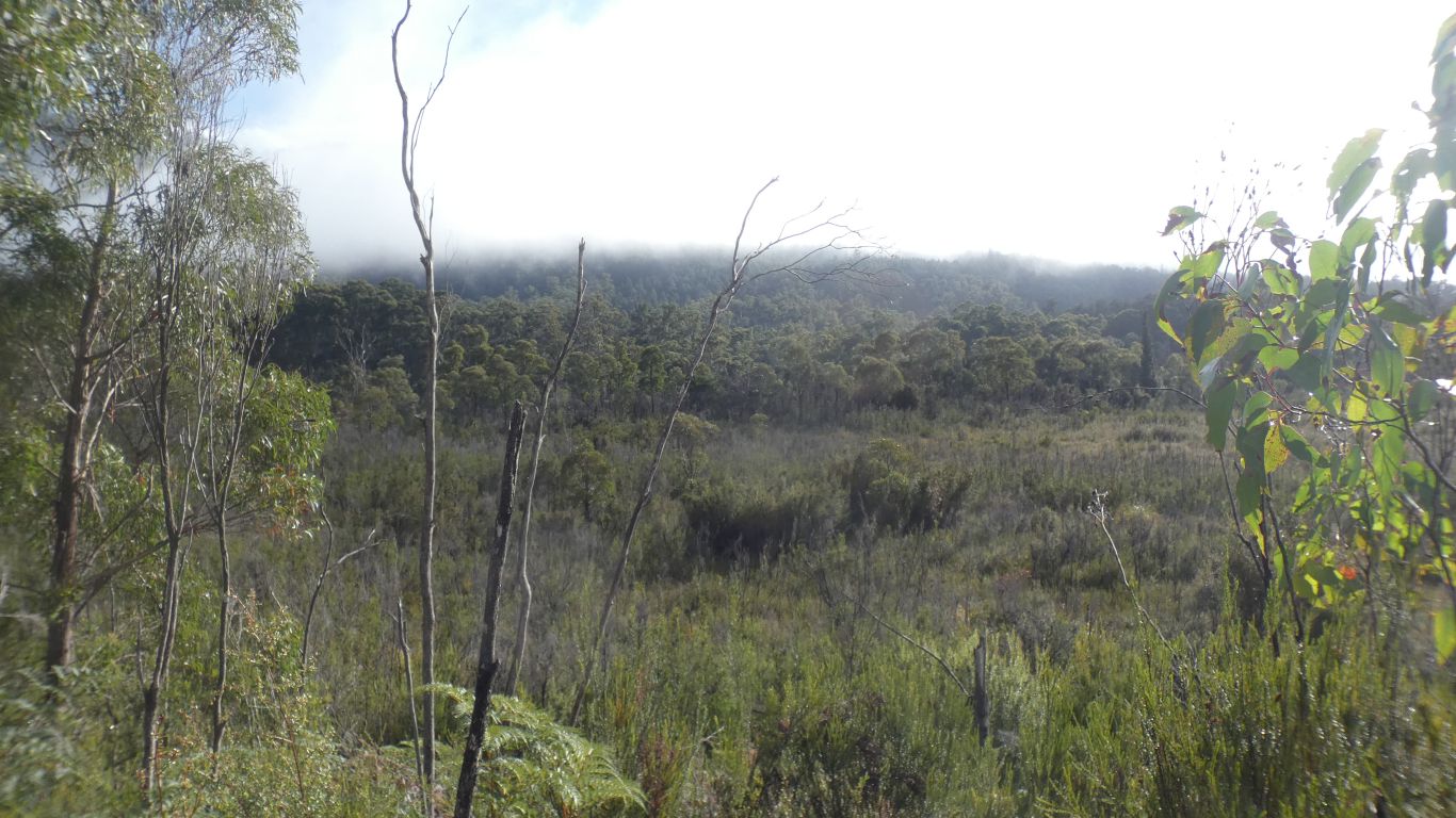
If we walk far enough, a few days and about 35km, we would meet the Arthur Range track and the Port Davey Track we walked a very small part of some days ago.
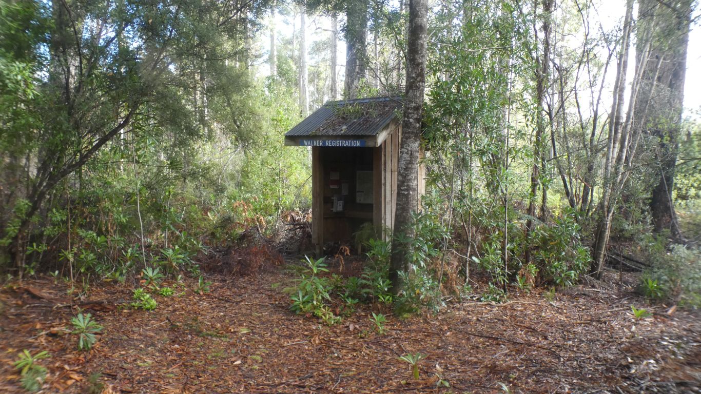
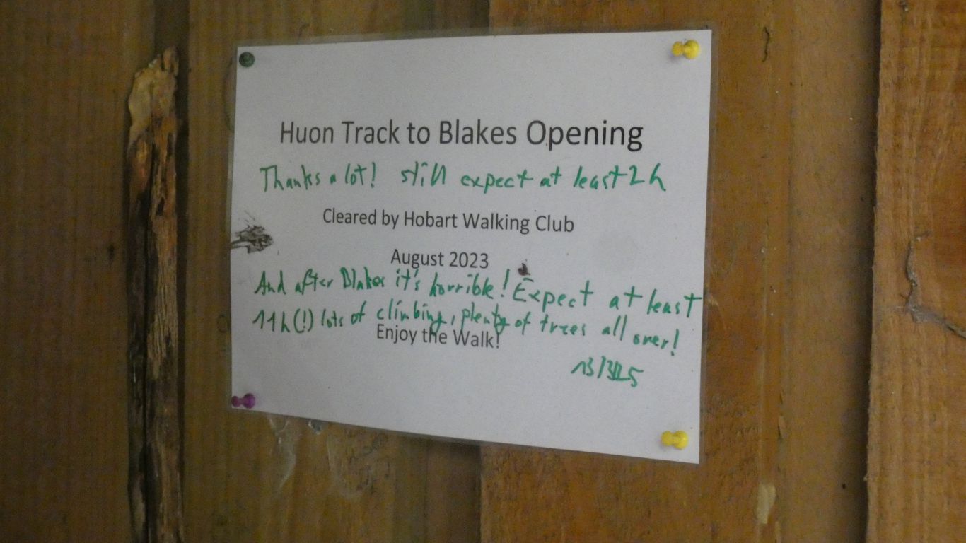
We are encouraged by the track describption.
We also learn its nickname is yo-yo track, it goes over ridges and down to creek crossings.
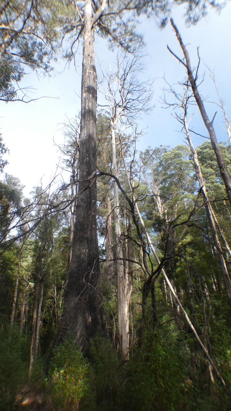
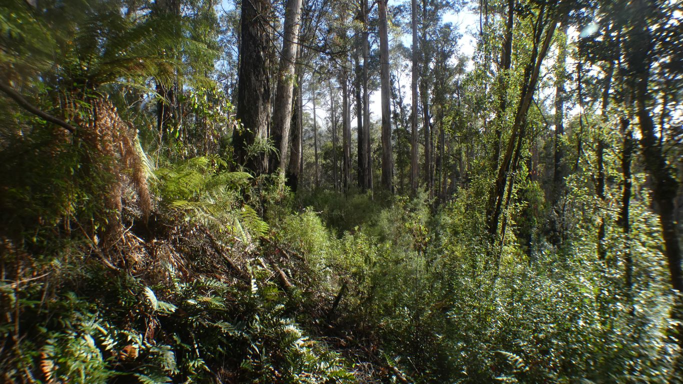
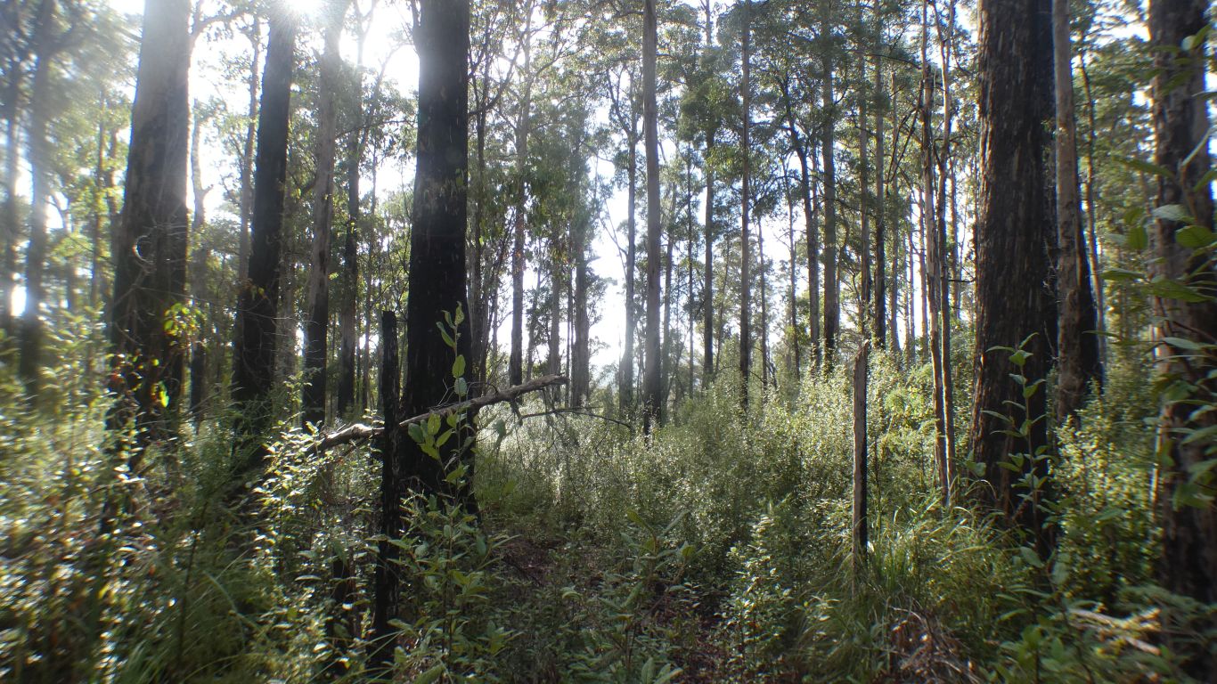
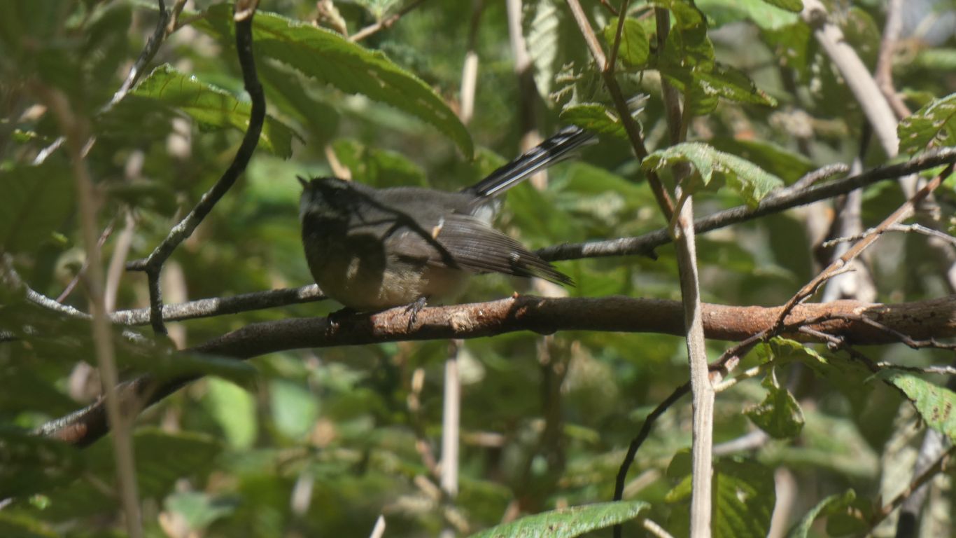
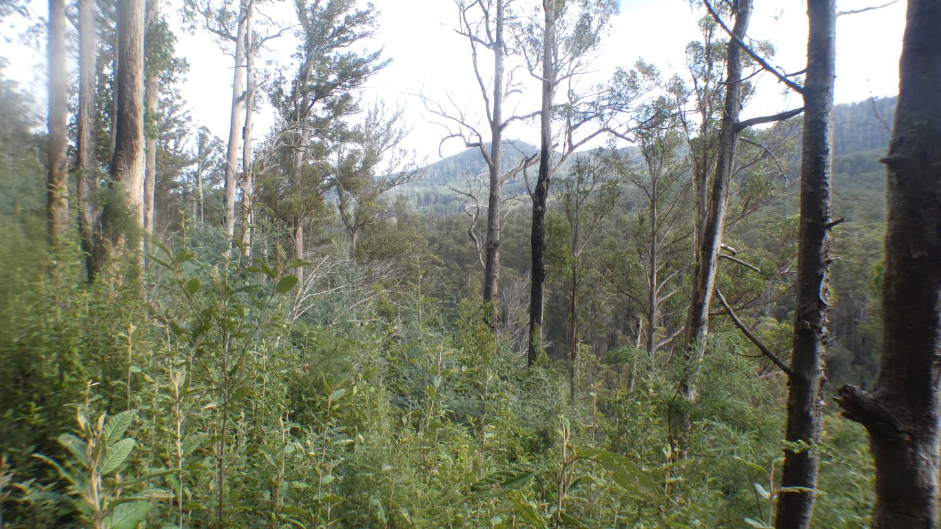
We are highly unlikely to walk far enough to see the Arthur Range.
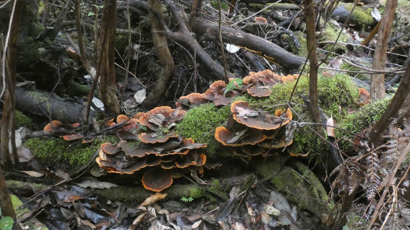
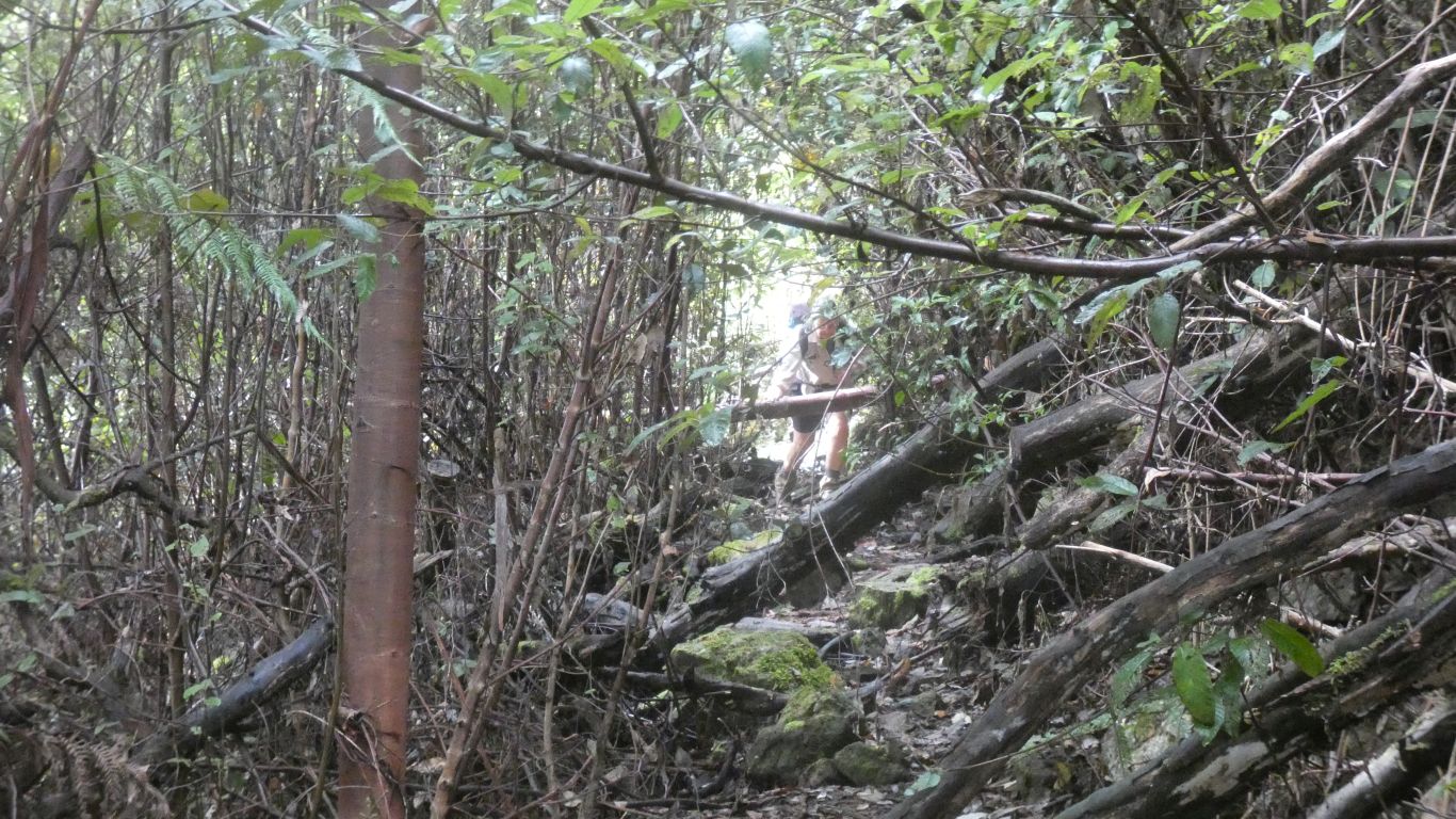
Originally at least a pack horse track, and possibly later a vehicle track, now a narrow walking track.
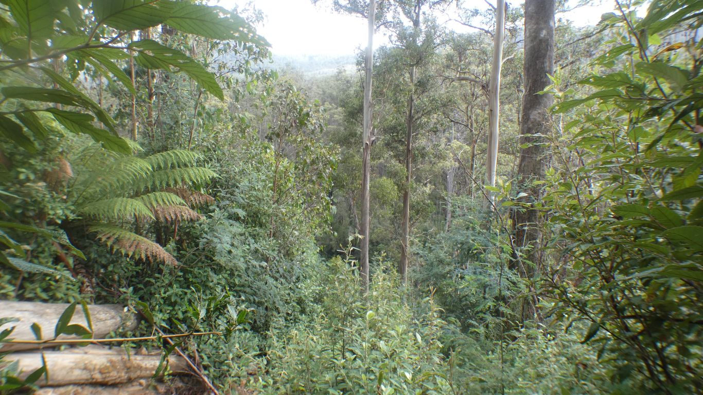
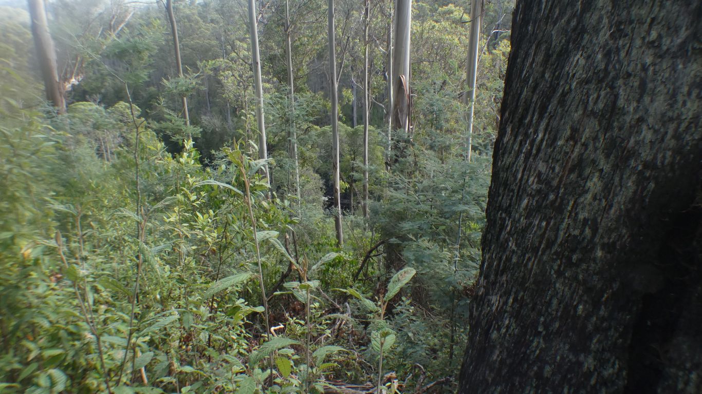
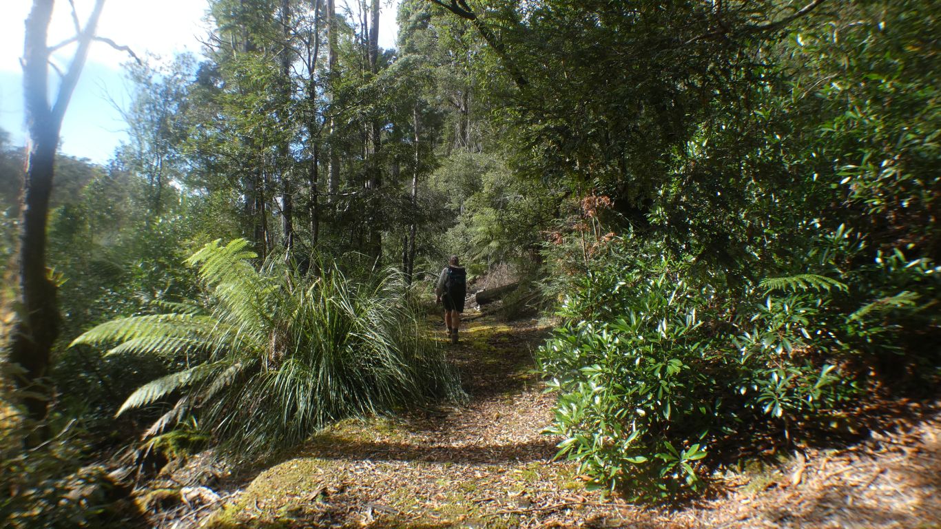
We turned back shortly after this.
Had we continued another 500m, about a half hour at our speed, we would have walked down to the river.
We were overtaken by a couple carrying an inflatable raft. They would raft down to Tarhine, then one of them cycle back to our camp for their car. After he described the slow progress on a tough walking track, the rafting enjoyable.
We also met another couple walking in to camp for a couple of nights.
Both couples had EVs.
Within the report was a high resolution map from the time of the report.
McPartlan Pass (remember the present day canal between Lakes Pedder and Gordon) is labeled on the T.B. Moores 1881 Track to Lake Pedder. No track to the Gordon River at the time of the map, McPartlan may have cut it later, or it simply wasn't on the map. From the report ... "The services of Mr. McPartlan, who has a thorough knowledge of the country, have been arranged for, who will accompany Mr. Jones and render every assistance."
Thomas Bather Moore (1850 - 1919) was an explorer, prospector, amateur botanist, and government plus Mt Lyall Mine track cutter. Narrowly missed out on Mt Lyell mine discovery. Well known (to everyone except me) "legend". He suggested that all Western lakes have feminine names. Hydro Tasmania think differently!
Easy to see the watershed between the original sized Lake Pedder feeding the Serpentine River flowing north, and Lake Edgar feeding the Huon River flowing round Scotts Peak (the one we saw, looks like the labels changed from 1880) then south and east. The Huon Plains submerged in the recently flooded enlarged Lake Pedder.
Interesting to see what tracks existed in 1880, and some which have disappeared.
I found the curve of the ridges west of Lake Pedder interesting, formed by ice.