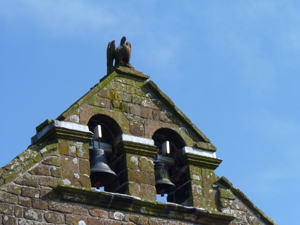
In the appropriately named Abbeytown.
We walked across the fields from our campsite at Wheyrigg.
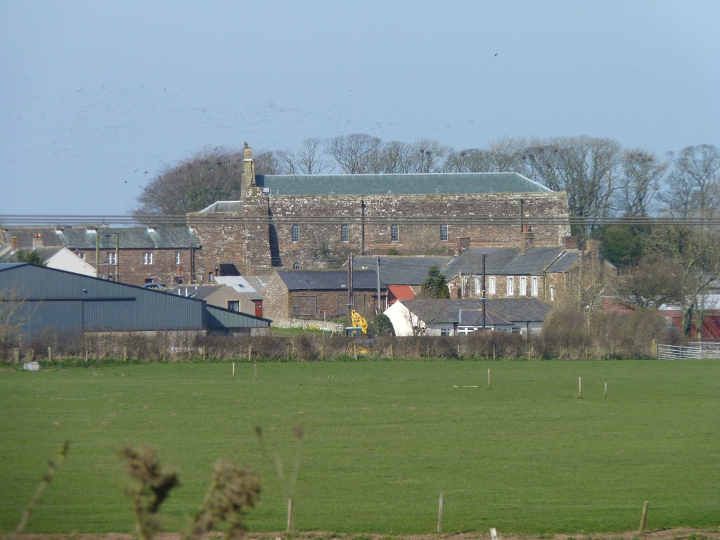
Closed as it was subject to an arson attack a couple of years ago. Soon to re-open.
Apparently this south coast of the Solway Firth was at one time in Scotland. Now in England.
The Scots are working up to a referendum on Scottish independence. Give it another few hundred years and they may want this bit back too.
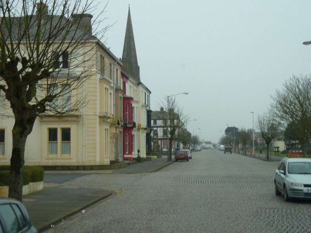
The brick cobbled road was a bit harsh.
Grey in winter.
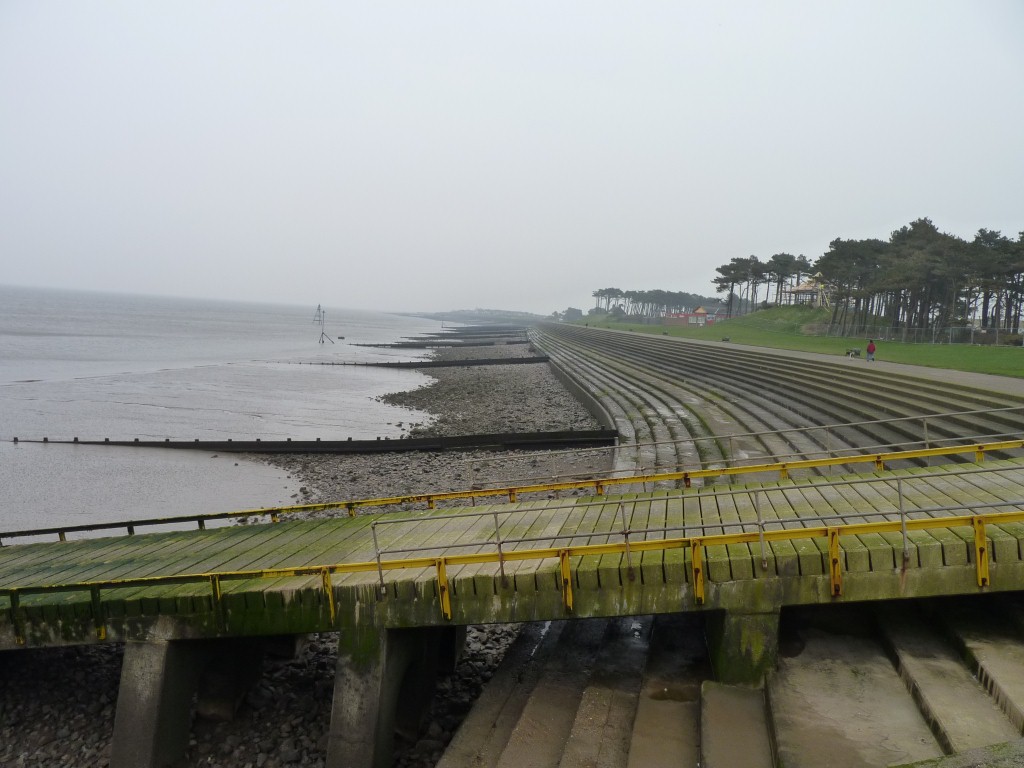
Lifeboat slip in foreground.

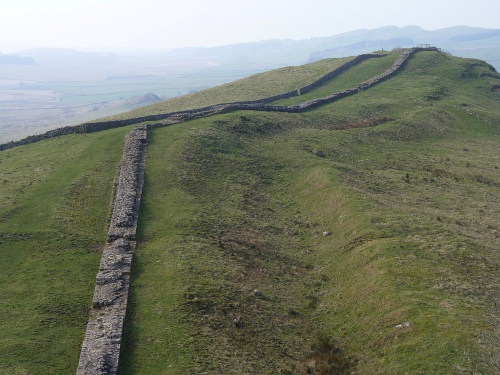
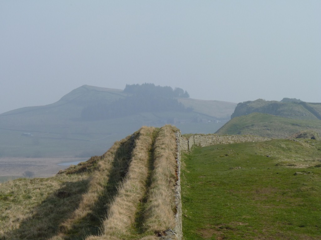
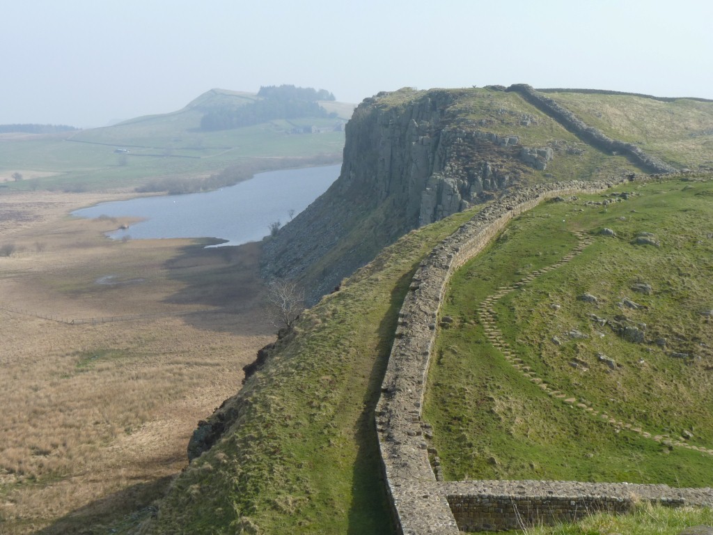
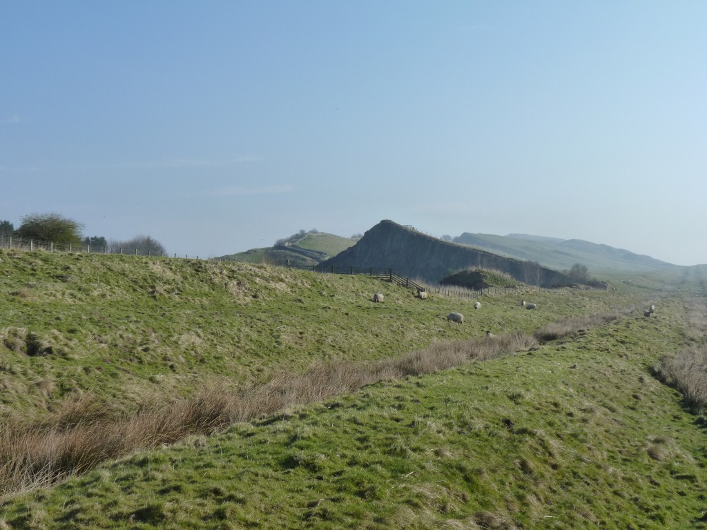
The high point is in front of us.
We are camped at Winshields Farm, less than a km walk up to the wall.
This is Windshields Crags according to the Ordnance Survey map.
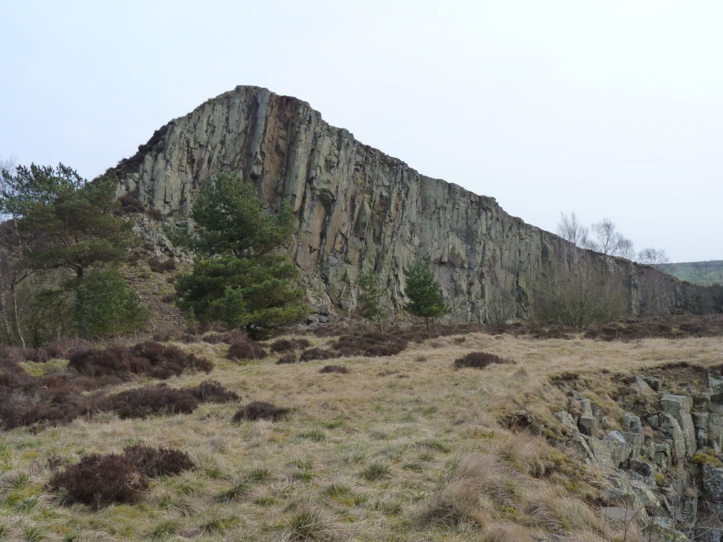
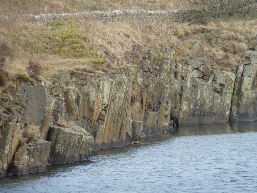
Whin is the local name for dolerite (an igneous rock which when as magma oozed under the surface to solidify and be later uncovered). The Farne Islands and Cauldron Snout (waterfall) further to the east are similar to these crags.
I suspect the whole structure is the Whin Sill.
Geology and archeology all mixed up!
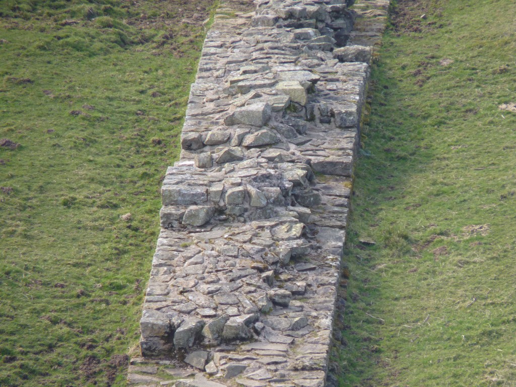
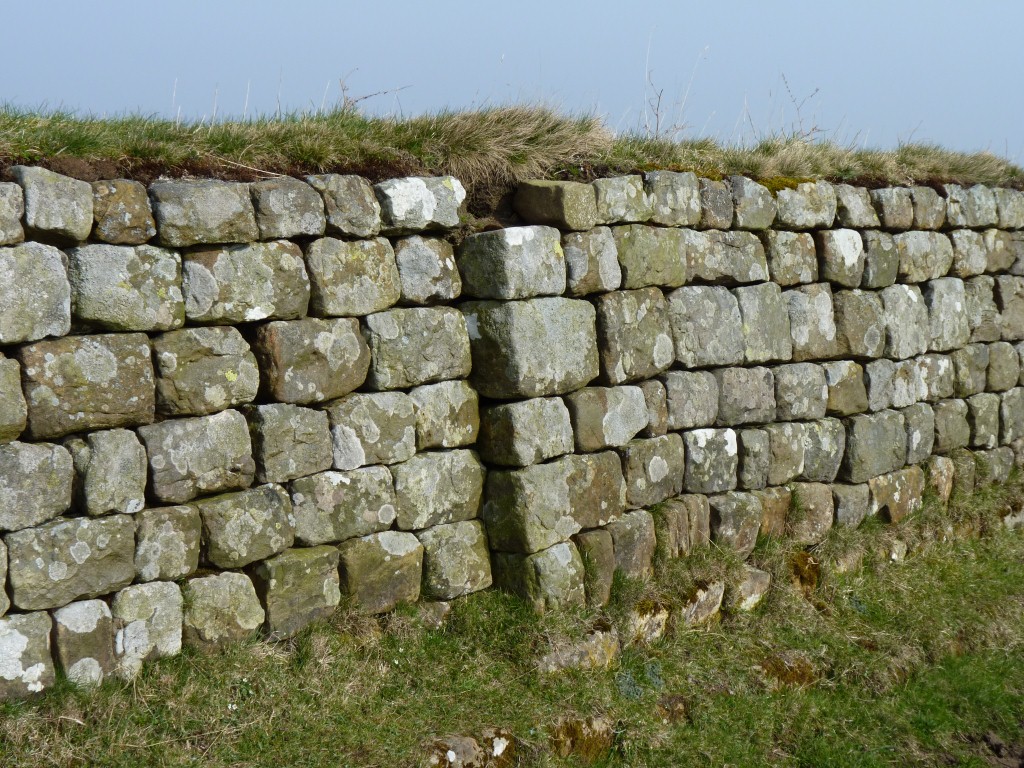
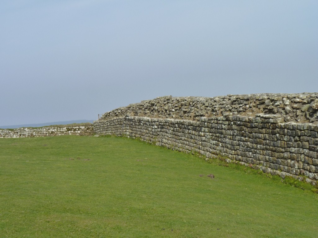
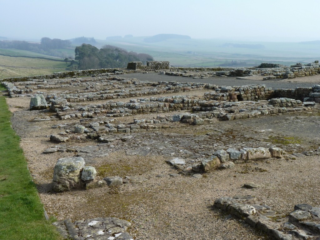
We had much difficulty deciding which bits of the wall were original but fallen down a bit, and which bits had fallen down a lot then been rebuilt a bit.
The bit in the above photo looked to us like it had been rebuilt a lot as it was a bit thin.
This bit looked like it had been "stabilised".
There's evidence of the lime mortar used to hold it together. No evidence of Roman cement mixers!
The faces are dressed stone with undressed (surely not naked?) stone and earth fill in the center.
A lot of stones from the wall are visible in houses in the villages near the wall.
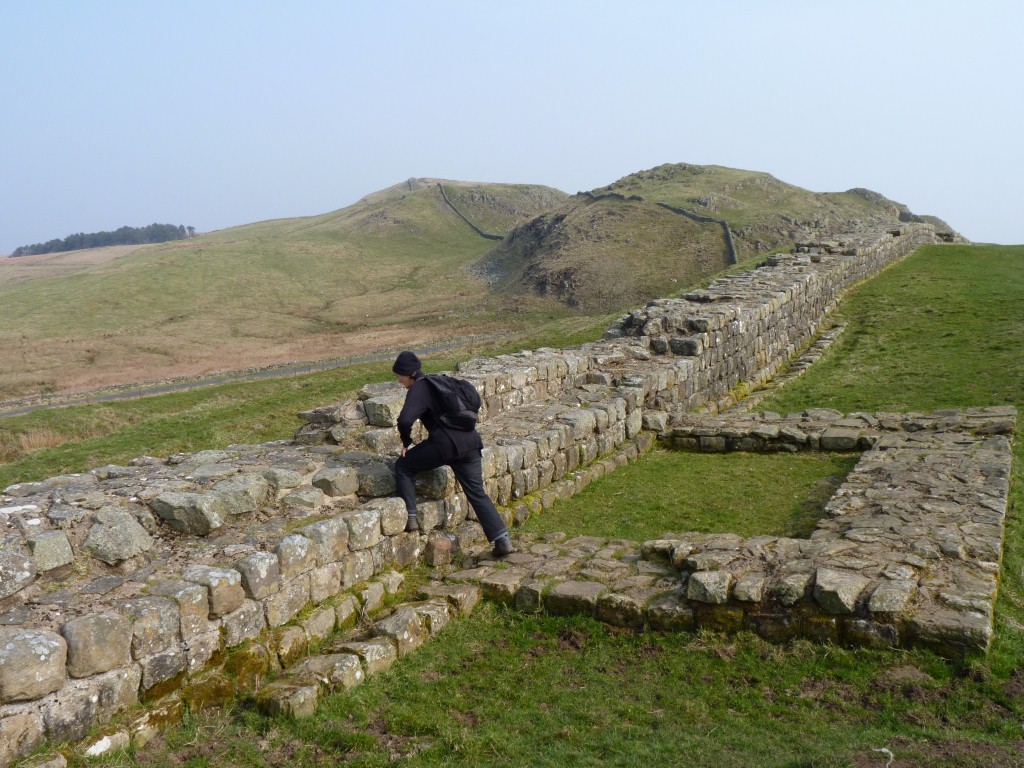
There's a bit of misalignment between the foundation and the wall.
This is also the foundations of one of the small towers that lie between the milecastles.
No longer quarried. Site of another pay and display car park.
But also makes the dolerite structure a bit more visible.

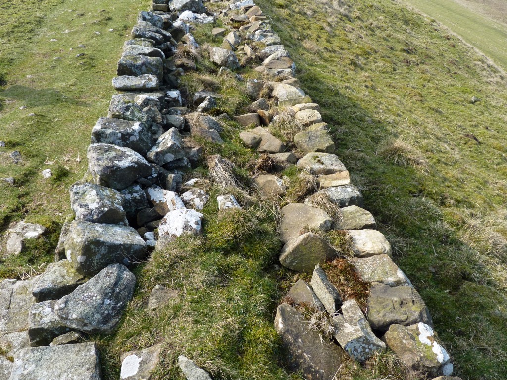
Not a lot of mortar visible, soil fill and grass on top.
Presumably built by a different cohort.
But again, what is original and what is rebuilt?
Something odd to us though, Scotland is to the left, we expected ramparts, not a low side.
One of the many joins where the stones don't overlap each other and are out of alignment.
We could just imagine two stubborn centurions each insisting that their bit of wall is in the correct alignment.
Though neither are aligned on the foundations so perhaps both have been restored a bit and it was a couple of wannabe archeologists arguing over their alignment..
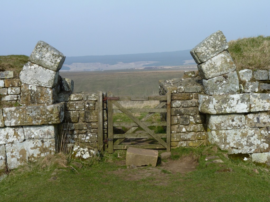
The arched gateway to Scotland.
The wall is usually described as having been built to keep the warlike and troublesome peoples of the north out of this furthest reach of the Roman Empire.
We wondered if the gate was to let the Romans through to pillage in the north or to let the Scots in to the south to trade.
Either way we couldn't but help remark on the economic and political forces whereby a wall built as a north south barrier now serves as an east west attraction guarded by the ever present pay and display car parks.
In that respect China and United Kingdom have a lot in common. May there be a permanent curse upon economic rationalists.
In its day a double gate, two arches with a central pillar.
The wooden fence with locked kissing gate is a later addition by English Heritage to divert the hordes of attacking tourists through the southern gate, where stands a ticket office.
A nice surprise - since the museum is closed due to renovations and extensions (it didn't last as long as the original wall) entry was free.
So we indulged in a little rebellion and climbed over the fence instead of walking round to the front gate.
Regular as they are we couldn't help but notice the stones in different parts of the wall are different sizes and possibly slightly different shapes.
Near Housesteads, a bit to the south, is Vindolanum. We visited there in 1997 so decided to invest our time in other places of interest.
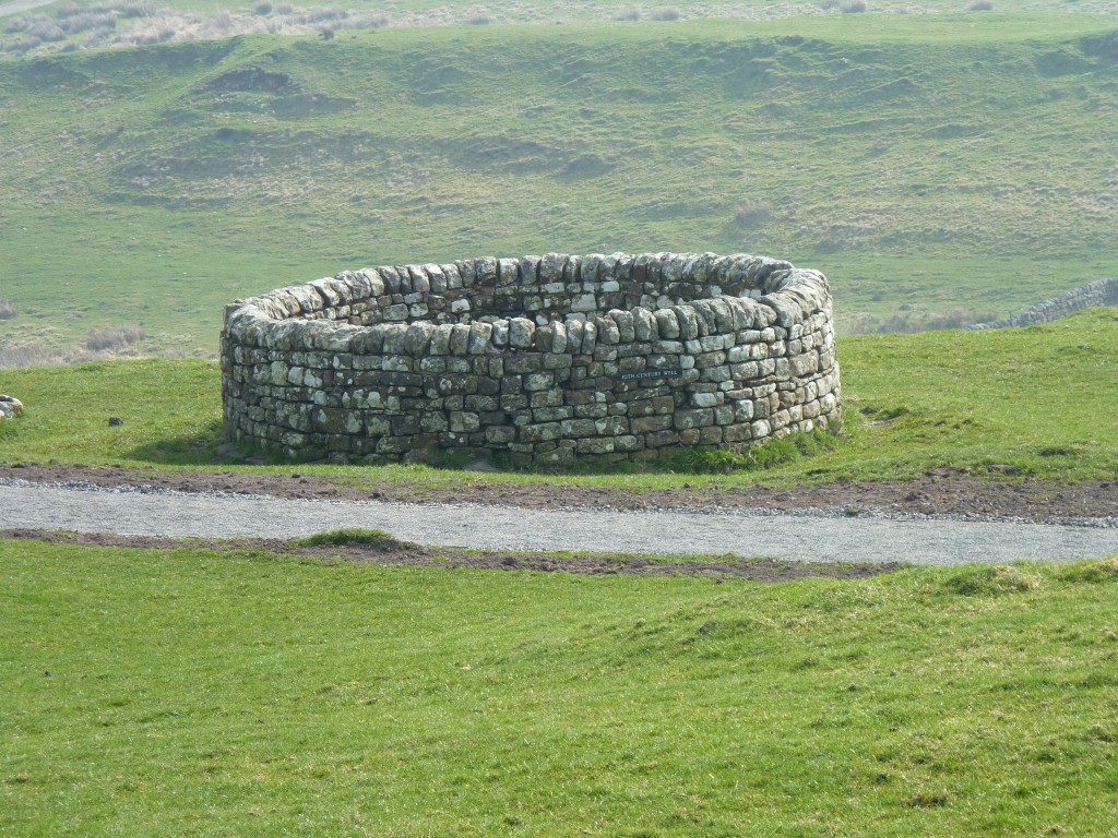
We couldn't help wondering whether it really looked like this originally.
Put another way, who would have built a well which is virtually inaccessible.
Maybe the wall keeps the sheep and tourists out.
We may never know.
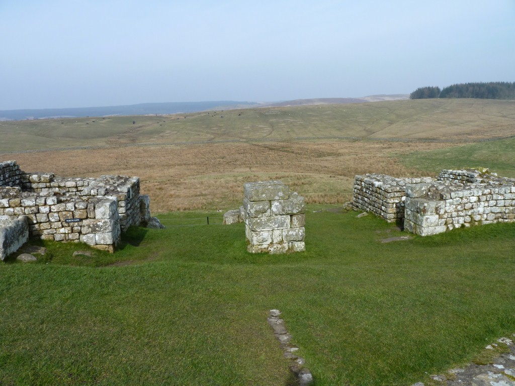
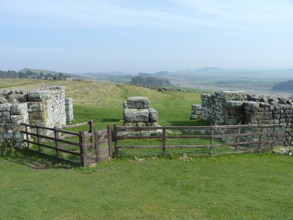
The surveyors messed up big time here though. A bit of a mix up as to where wall and fort should integrate.
There's another gate through the wall a few hundred meters to the east which apparently became the main passage through the wall. It was also apparently aligned with a break in the Vallum.
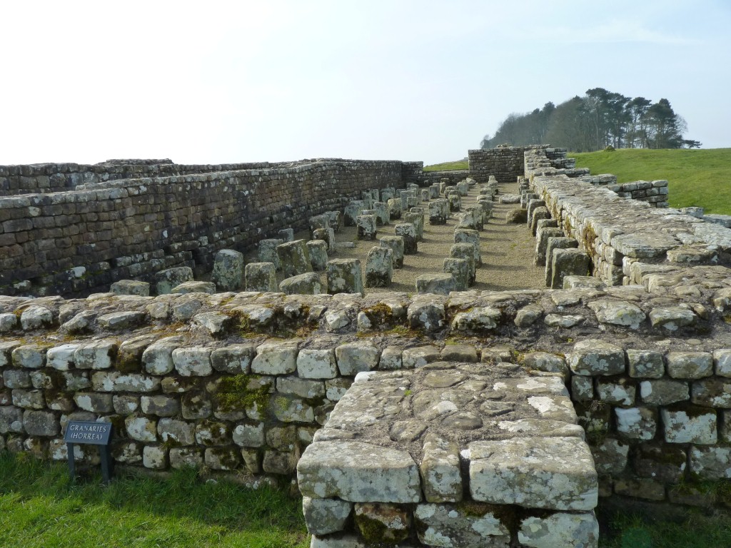
Lots of small rooms for a handful of soldiers in each.
No tv in those days though.
A ditch and ridge that runs parallel to the wall to the south. The wall is to the left.
The Vallum is in the bottom of the valley.
Can't imagine how many shovel fulls of earth were moved to make it.
Such is the lot of the members of a mercenary army. Though travel to exotic places (like the north of England) may have been a recruiting ploy.
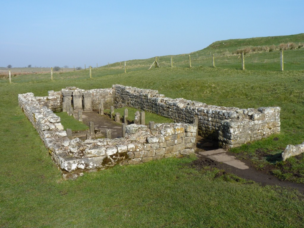
Thus this Temple of Mithras near (but outside) Procolita Fort.
Mithras is an eastern sun god. The concept of new life through sacrifice was just a bit in conflict with Christian beliefs.
Camped at Brock Hill Farm, next to Beal.
Just a mention of the unseasonal weather. We've had a couple of weeks of sunshine, stillness, and temperatures in the low twenties centigrade.
So we put the chairs out for the first time in a few months and replenished our vitamin D supplies in the sunshine.