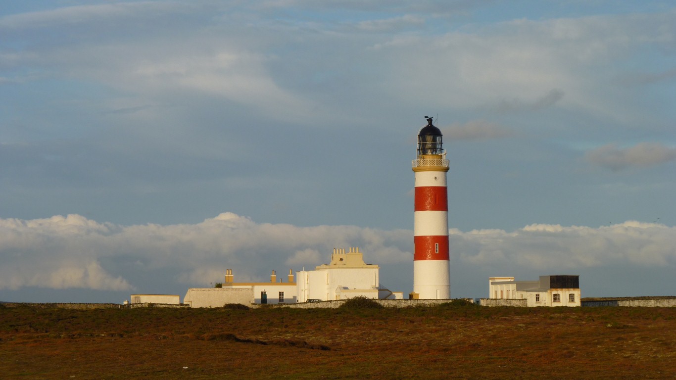
The lighthouse buildings have been sold off and the lighthouse now operates automatically.
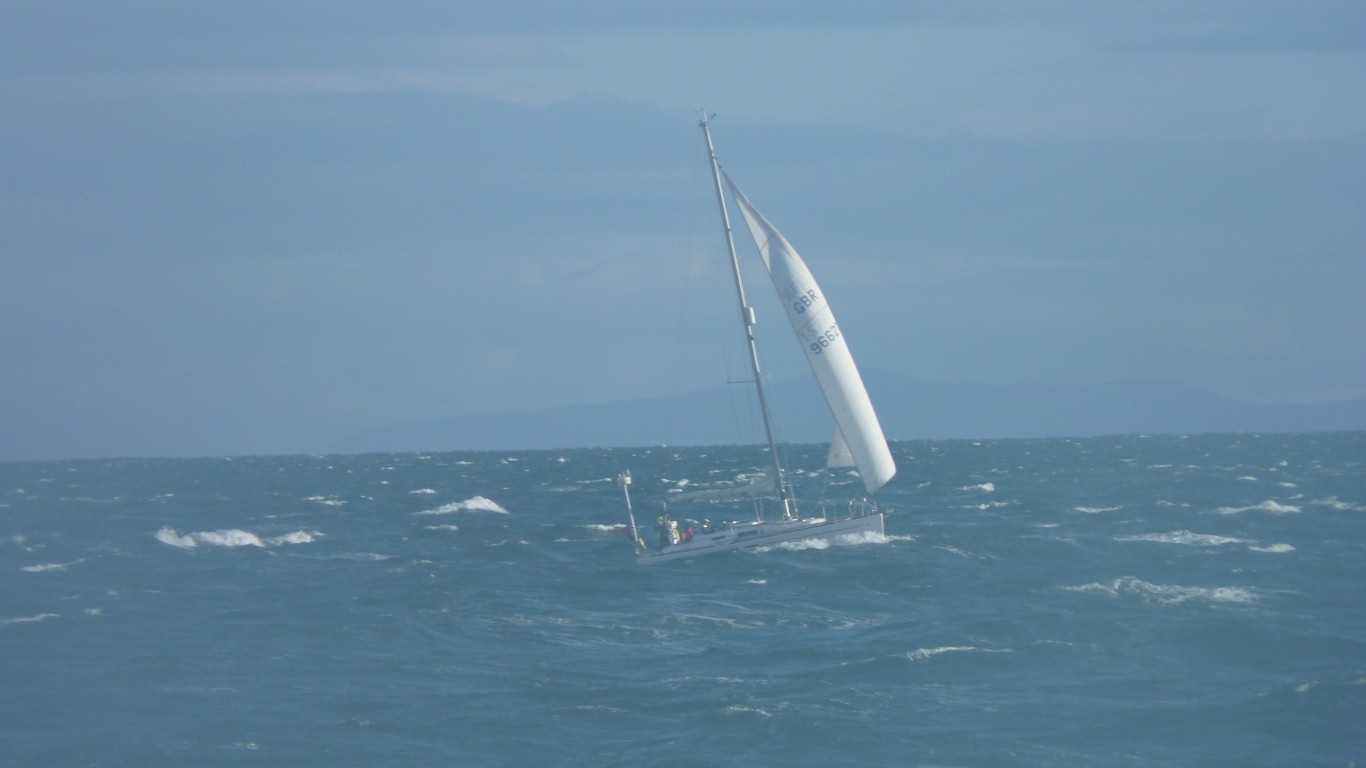
A bit draughty and a few waves.
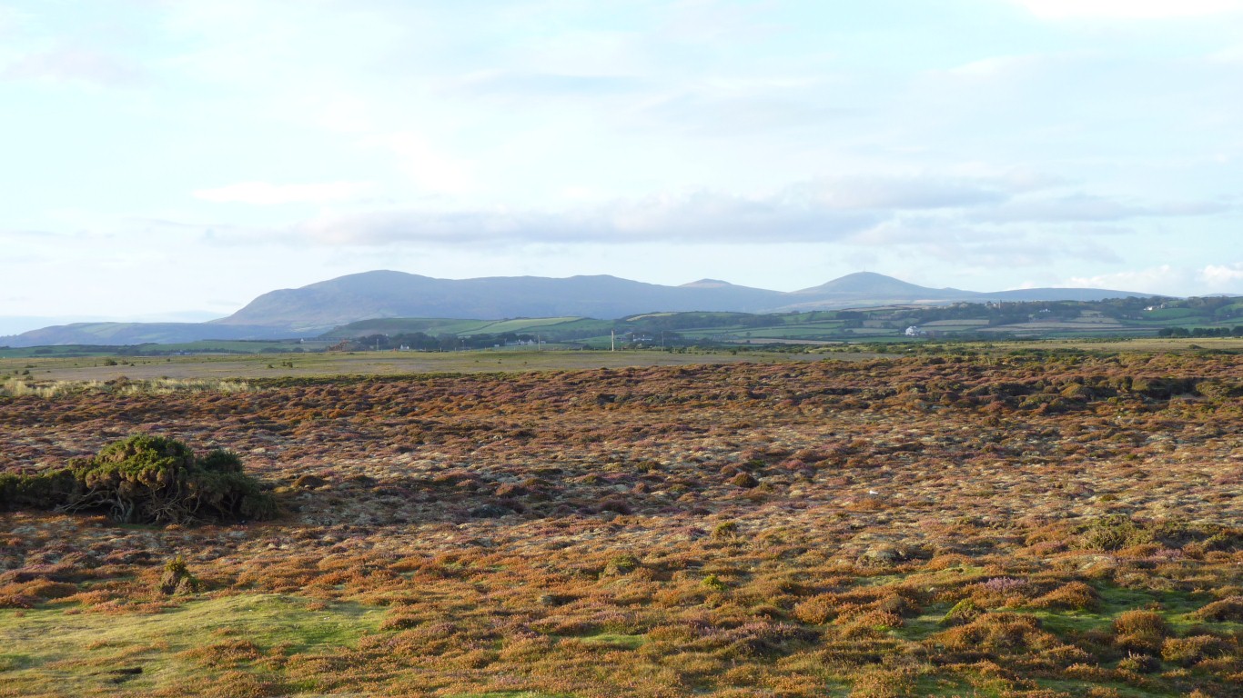
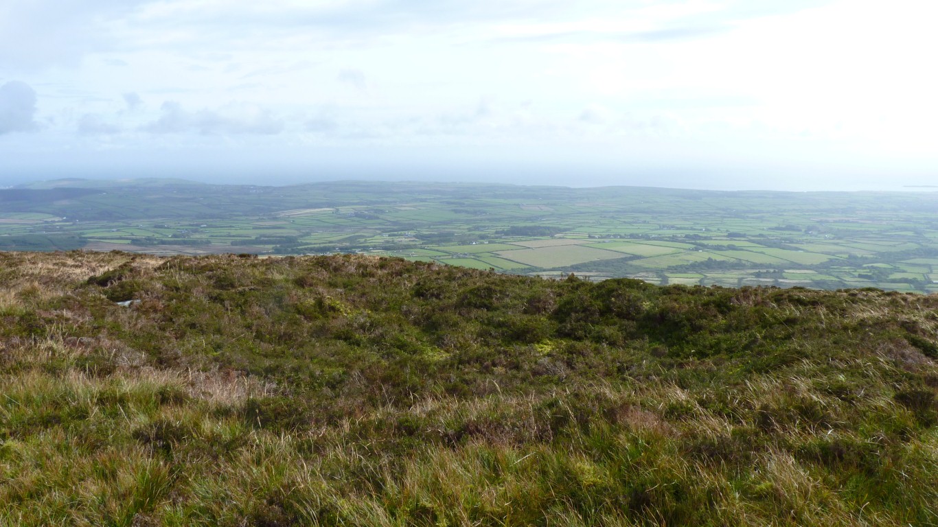
The northerly currents up each side of the island join at the Point Of Ayre.
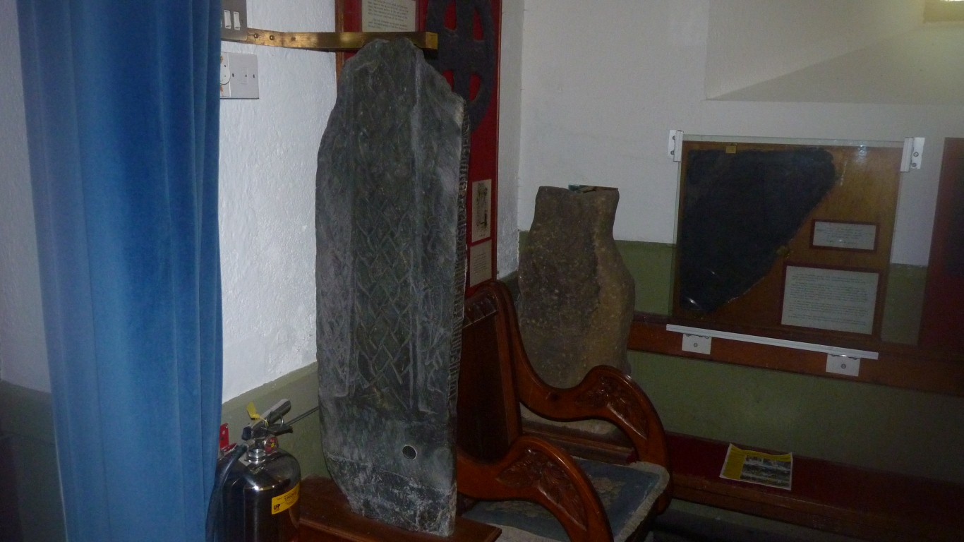
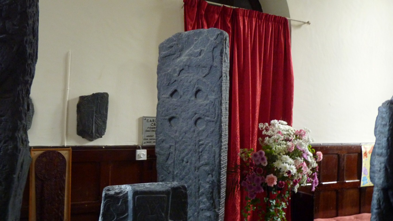
This is Druian's Cross (#118) from the 10th century.
"Druian son of Dugald raised this cross to the memory of Cathmaoill his wife".
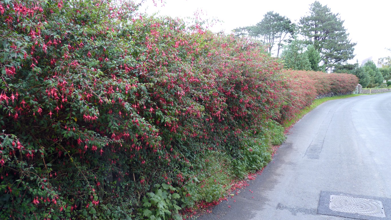
"Just" another fuschia hedge.
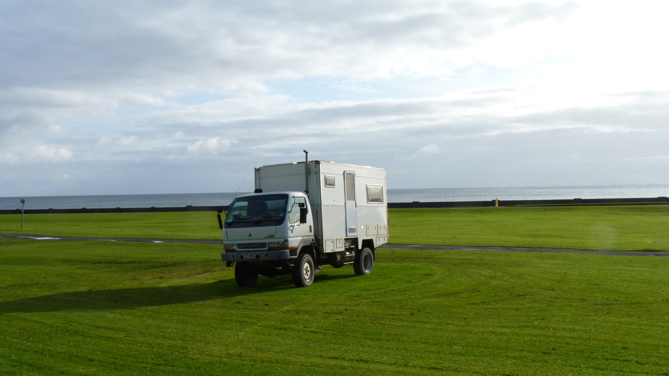
Camping in a motorhome is free for 3 days in 7 until September 30th. Walking distance to town centre. A GBP12 administration fee which requires showing insurance certificate and saying "yes" to do we have a loo inside.
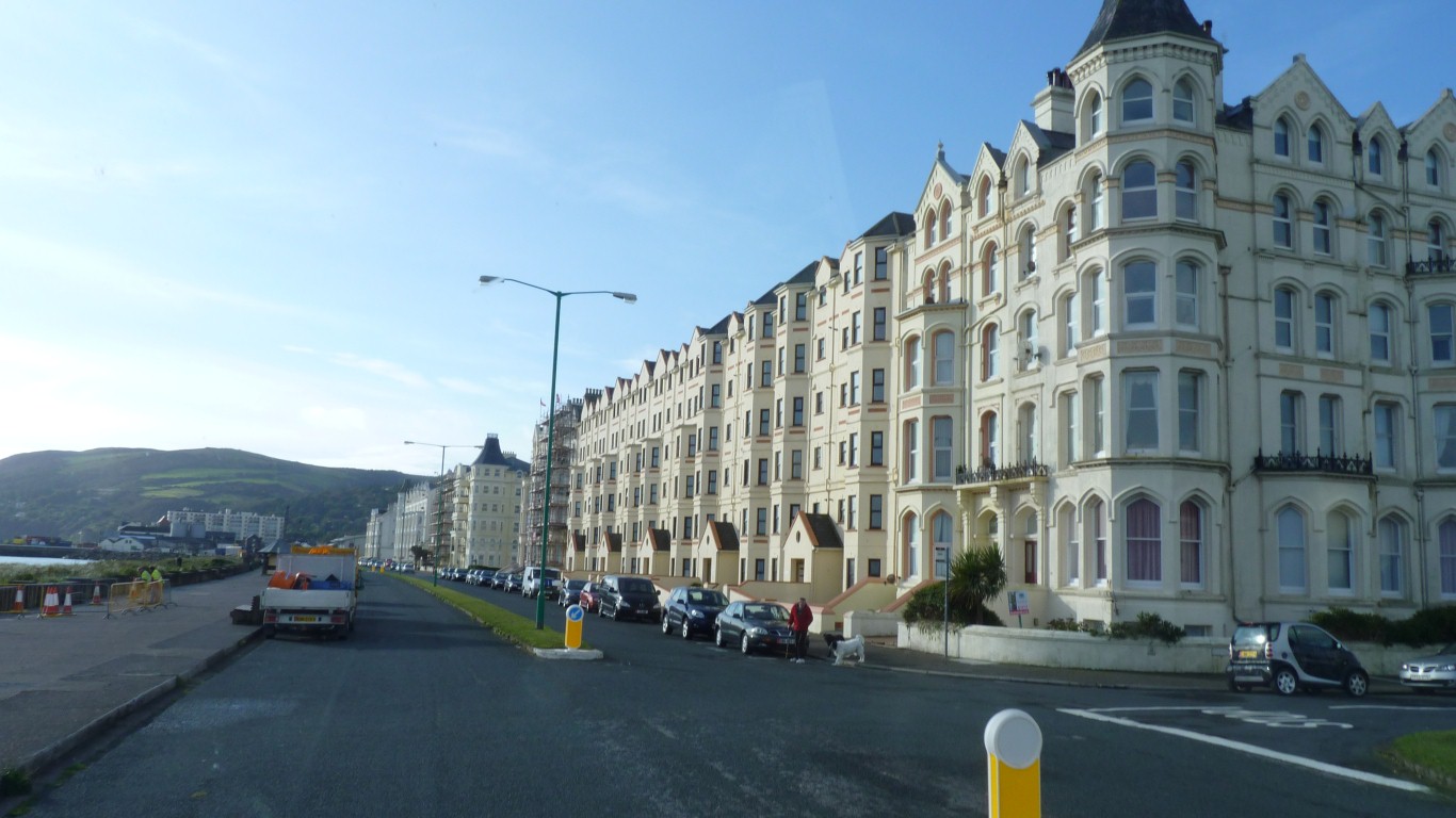
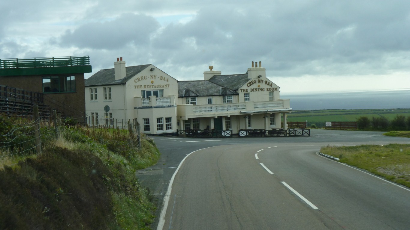
The middle hotels have been converted to flats
Couldn't help commenting on the new front doors which look a little out of character.
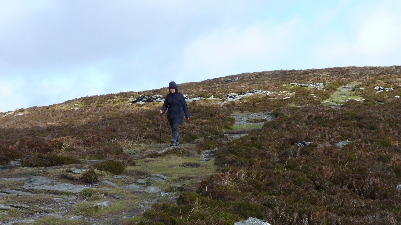
There's been lots of change on the Island since I left in 1965. I've been back periodically but not for quite so long and without the kids along more time to think and look.
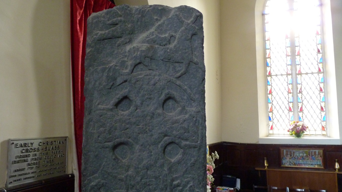
A little bit different in that its named after the stone carver rather than who erected it.
There are several Gaut's Cross's on the Island. His style is distinctive and he apparently had a liking for self promotion.
Apparently there were deer (giant deer?) on the Island at one time, but no more.
We haven't found the time to devote to any sort of analysis of the Manx Crosses. Running through the available literature is the development from early Christianity through the Norse influence and the establishment of the parishes. The language and characters have changed over time as well as the designs and symbols. Alongside this is the development from Keeils to Parish Churches and the influence of Rushen Abbey.
First run in 1907 I can recall 1957 when Bob McIntyre lapped the 37 3/4 mile track at over 100 mph for the first time on a Gilera.
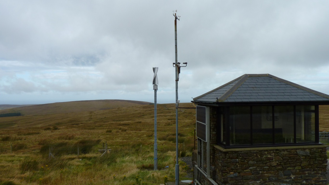
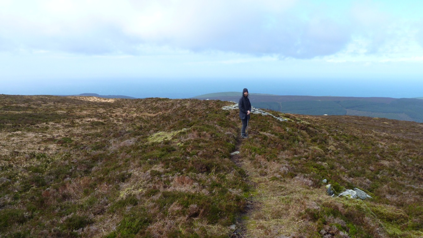
The mountain section from Ramsey to Douglas is (for us) the smoothest road on the Island. This is a marshall's box, complete with vertical spiral wind turbine. Not the most efficient design, but then its fairly draughty up here, about 800m.
We drove Tardis round the corner at a leisurely 50 km/hr.
Every July 5th the laws passed in the past year by the House of Keys are read to the population.
The front rows of the sideways facing seats are labeled with names and electorates of the 24 Members of the House of Keys.
Tynwald is the oldest continuous parliament in the world. Millenium in 1979.
The Althing in Iceland, with similar Norse traditions is a bit older but had a gap in the middle somewhere.
Tynwald has survived the power of the church (Rushen Abbey), the Scottish invasion, sale of the Island to England, England's joining the European Union, and a few other intrusions.
From 10th century Manx Crosses through old, still working, parliament to the Iron Age fortifications on South Barrule in a few hours.
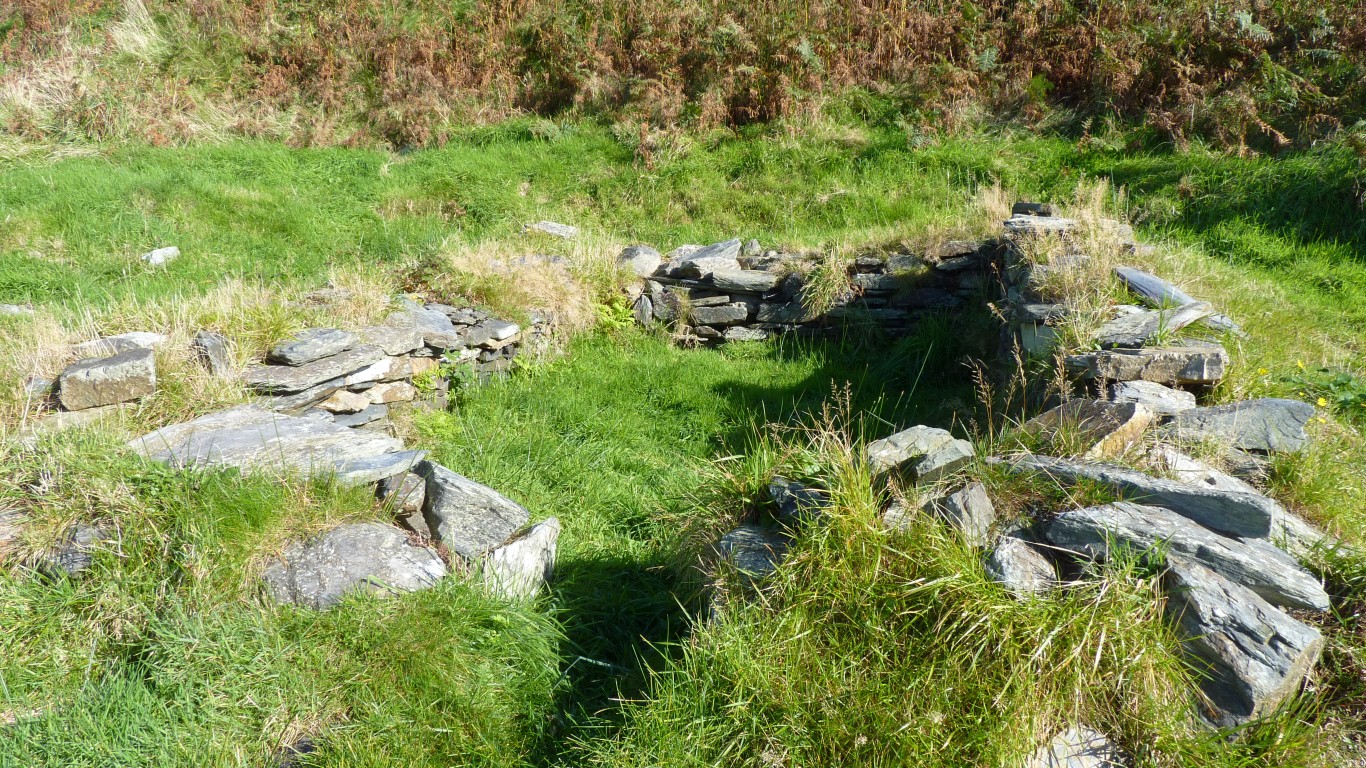
We believe this is a hut circle on South Barrule.
We walked around the outer ramparts.
The line of stones behind Ali are the outside of the outer ramparts.
Still draughty.
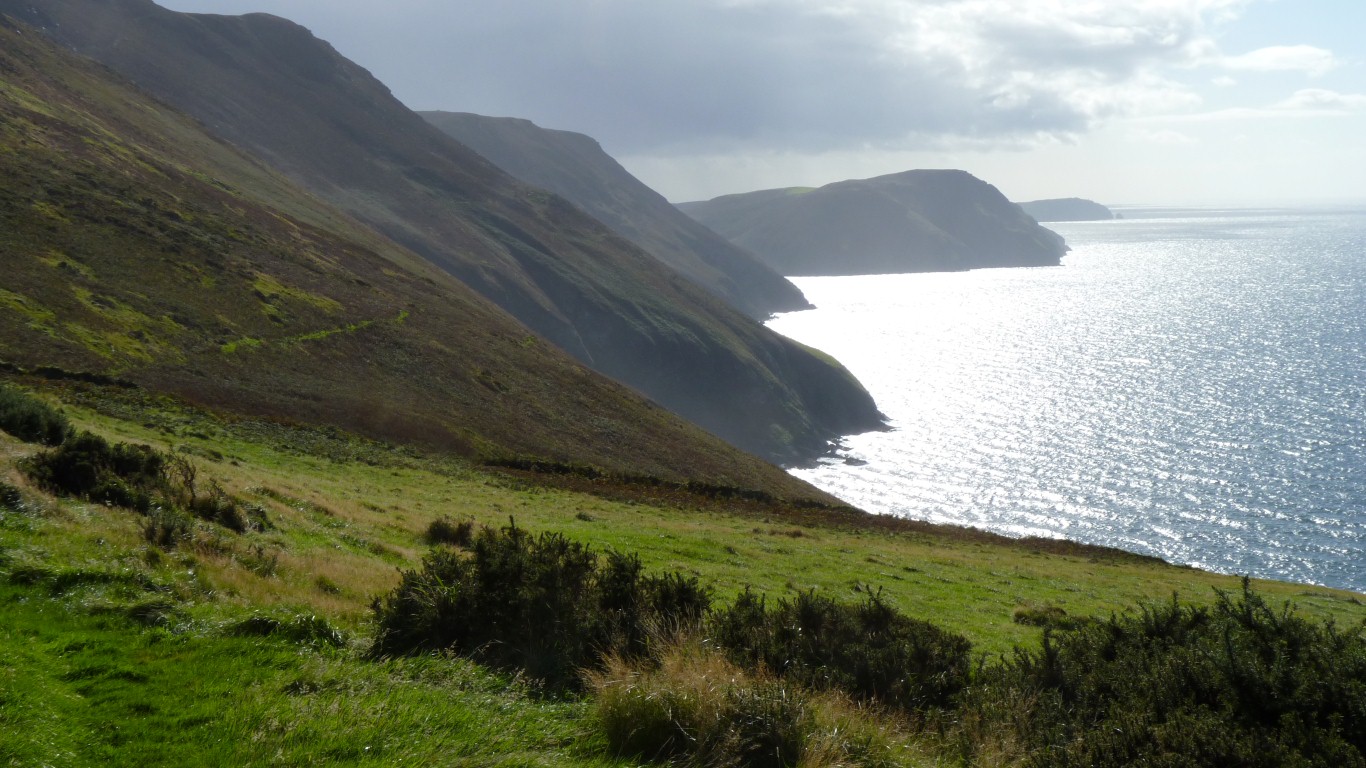
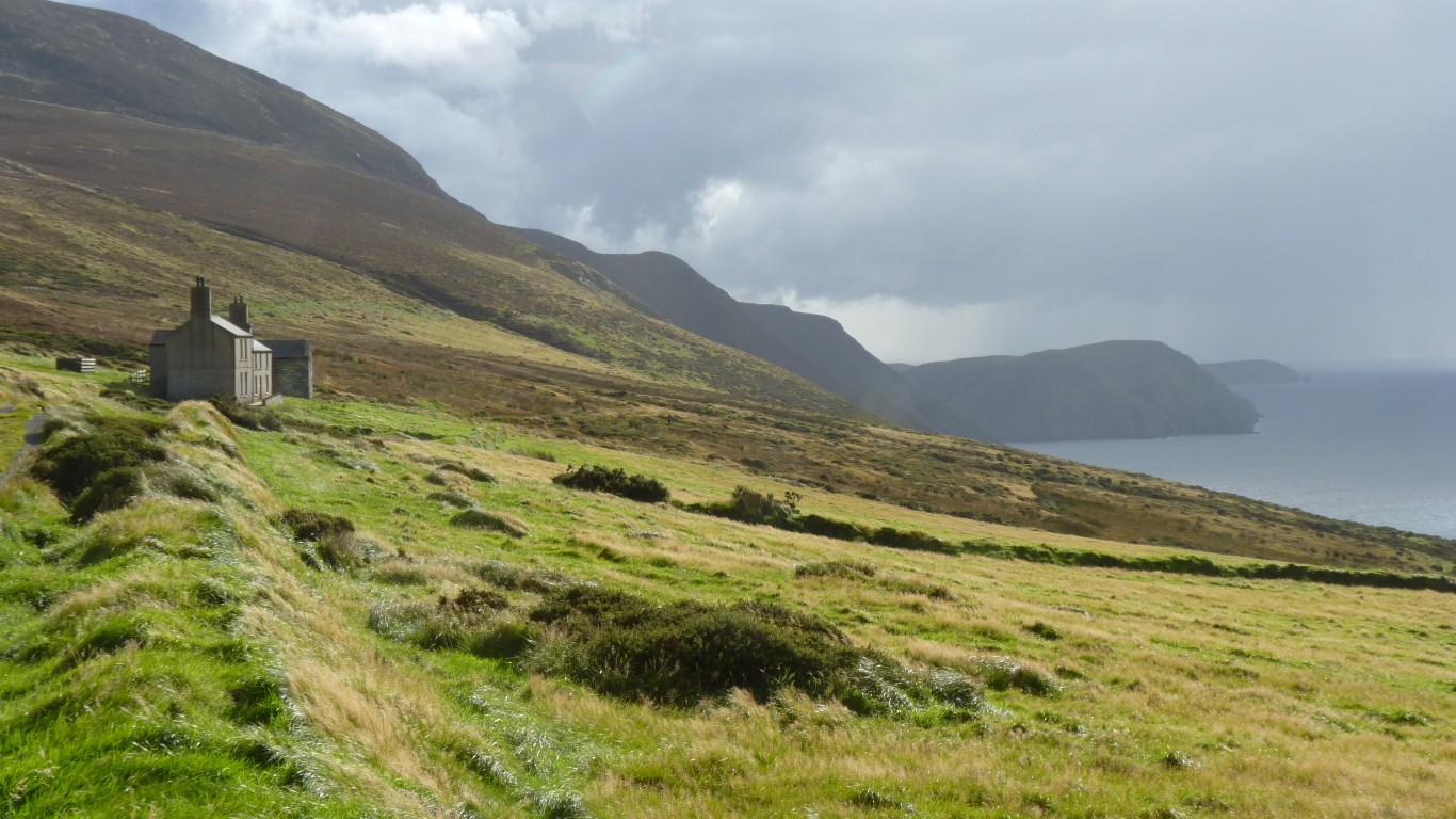
Looking south to the Calf Of Man in the distance. Next is the back of Bradda Head (Port Erin behind). Then into Fleshwick Bay.
We will hopefully find time to walk from Fleshwick to Niarbyl (behind us) before its time to leave next week, though the weather forecast looks like it may be against us.
Remeber the white painted thatched cottages?
We are never far from anywhere else on the Island.
A Keeill and "hermit's" residence (Culdee's Cell = Monk's accommodation).
Sort of a special place for me which I haven't seen since about 1964.
I guess everyone has school teachers' that leave a special impression. J. K. (Ben) Barratt was the Latin teacher who (after I gave up Latin) had the class translate Beatles' songs into Latin. For me he had the school Antiquarian Society. I had to wait until 5th form to join. This Keeill was the destination for my first trip. We took the short cut from the top of Cronk Ny Aarey Laa straight down.
Something about the site must have caught my imagination. As well as a slow dawning that education was more than about facts.
Some stone slabs with crosses inscribed were recovered nearby and presumably are now documented and in the museum or a parish church.
The last known burial in the cemetery was as late as 1800.
On a clear day St Patrick's Isle at Peel and another St Patrick's sites in Ireland are visible.
Most of the stones are from the hillside with some from the beach (about 200 ft below). The door pillars were apparently sandstone, the nearest is at Peel.
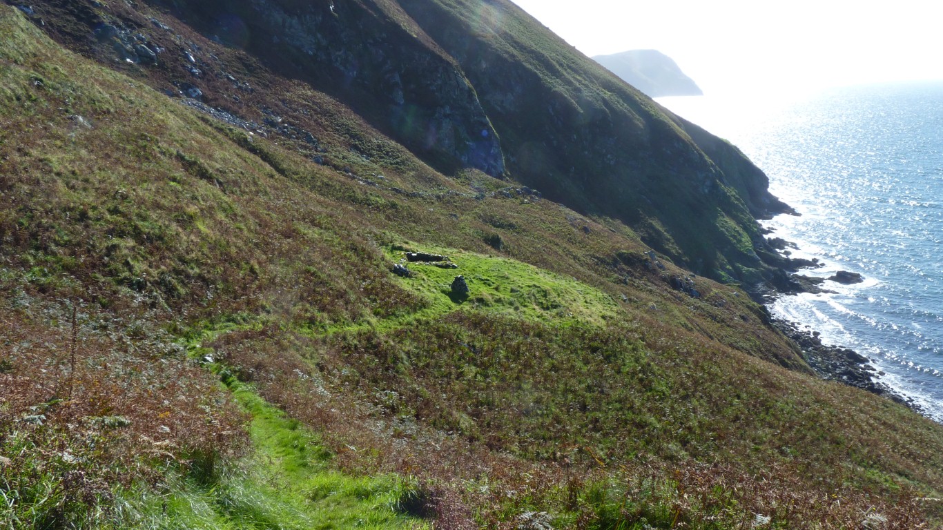
Its an old pack horse trail which never became a road.
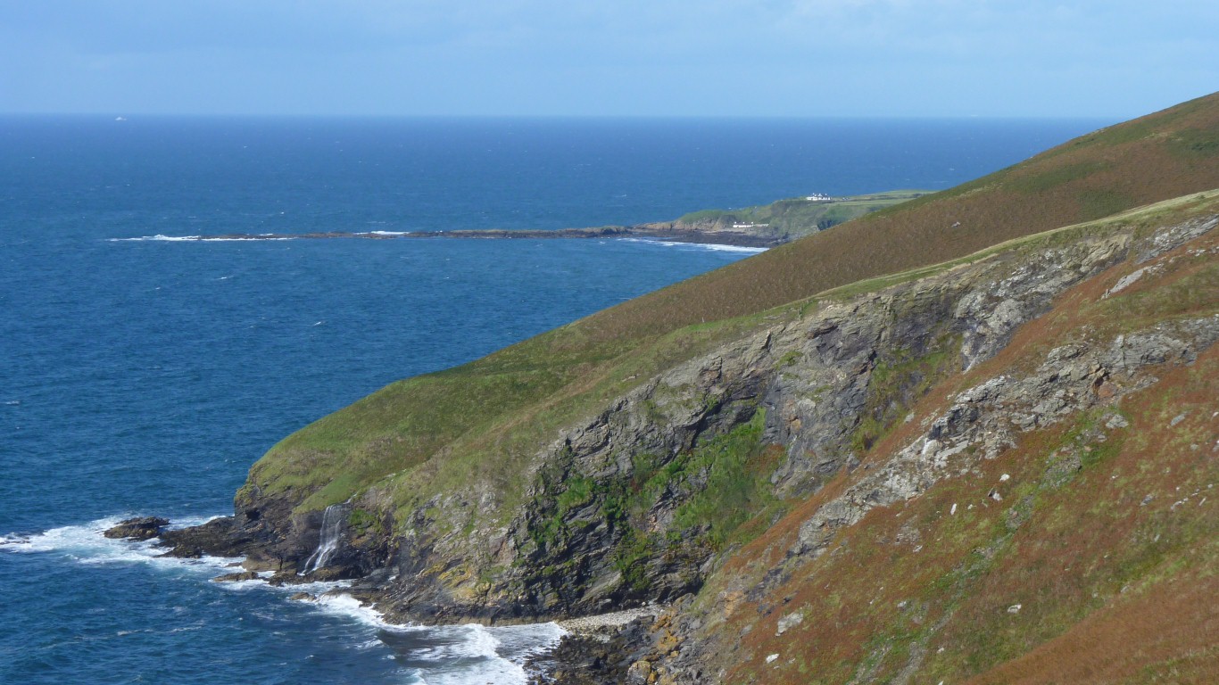
Landing from the sea is at Dalby, a bit to the north (behind us).
A good end to a busy, and rewarding, day.