Its also a national park.
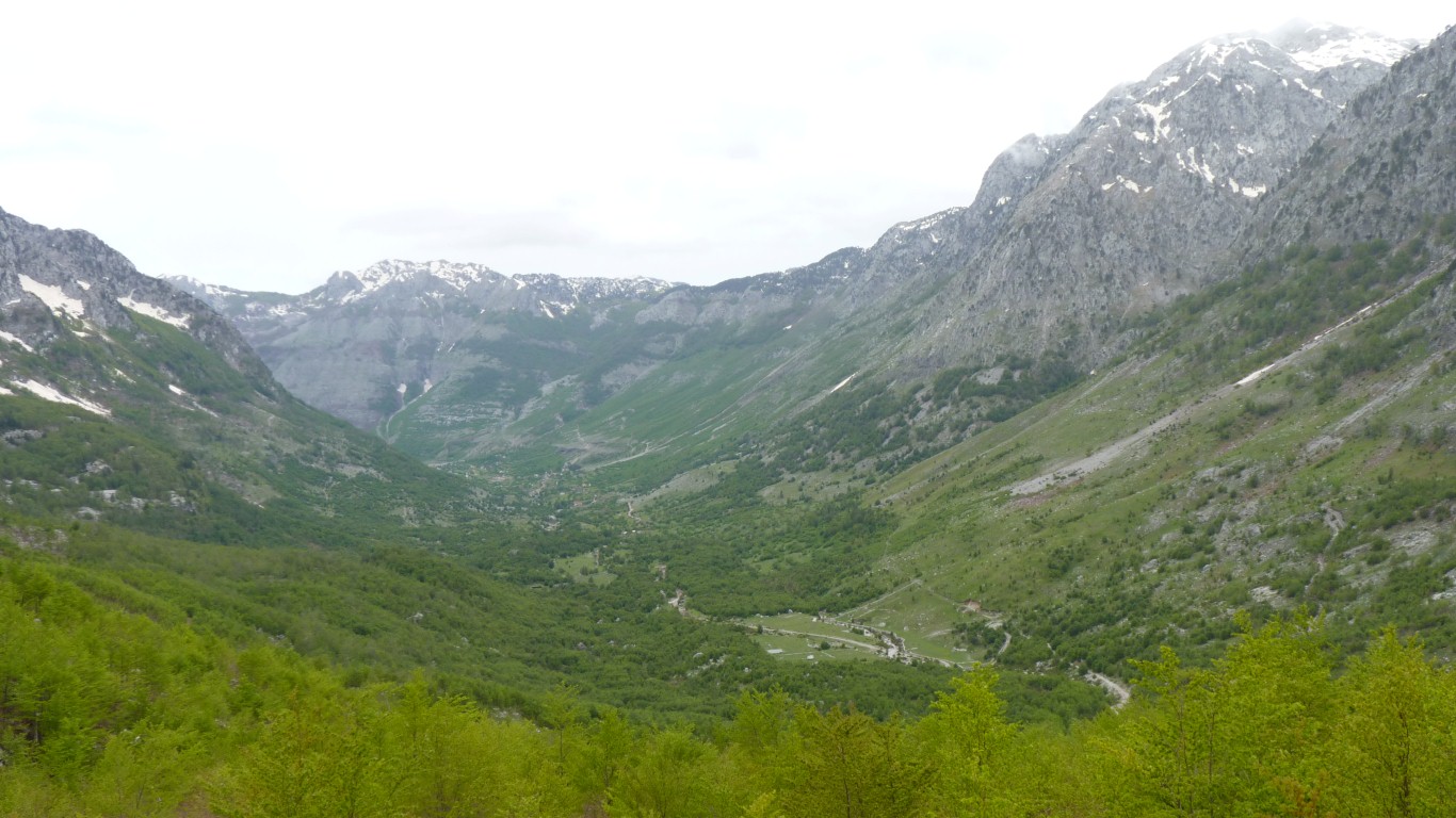
It sits between Montenegro and Albania.
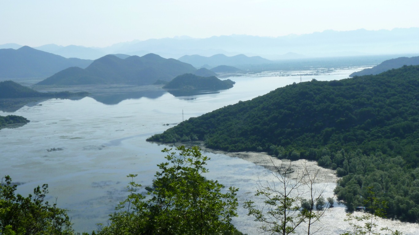
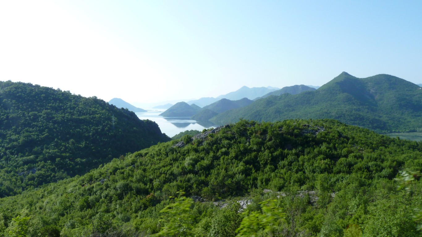
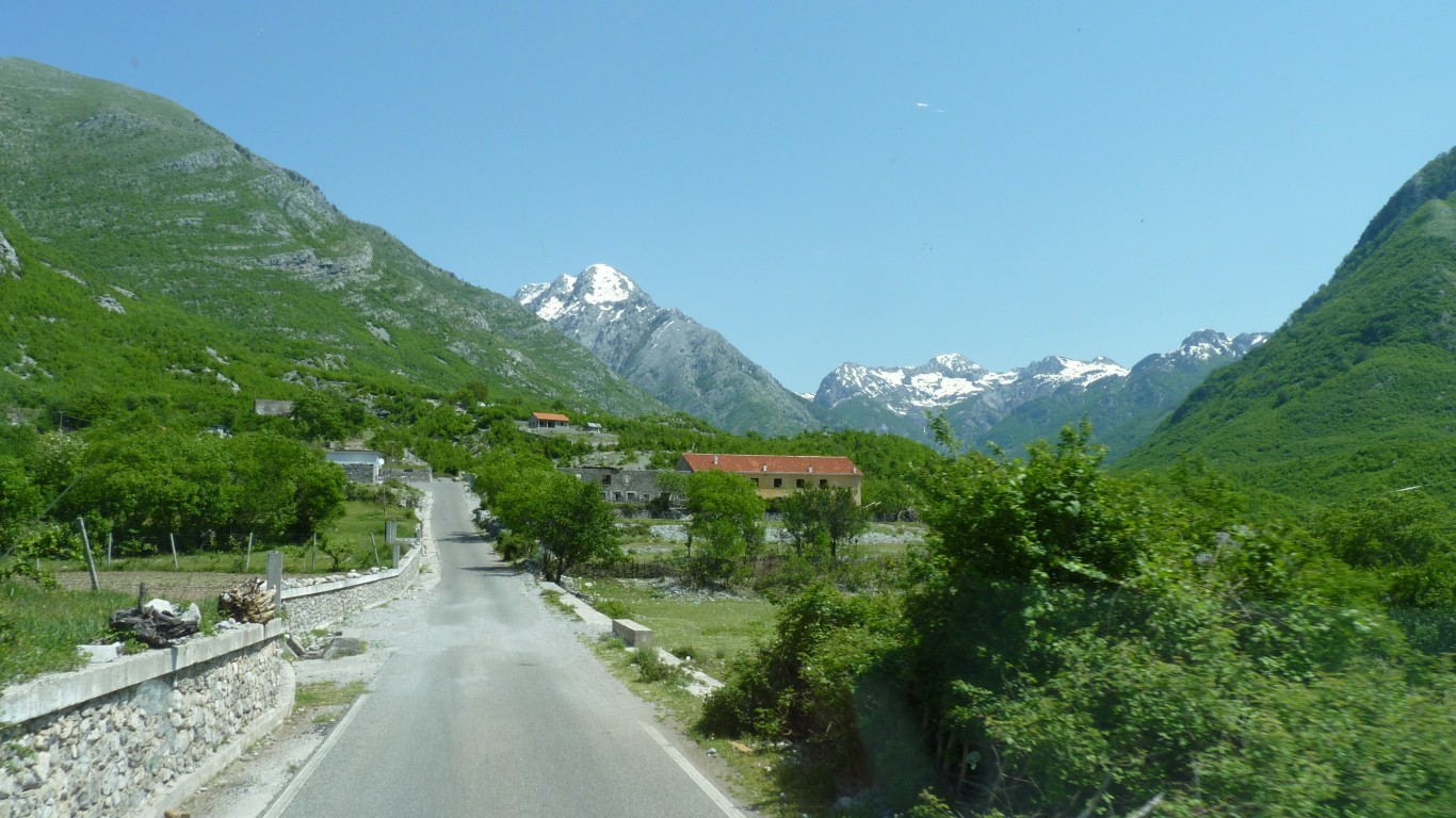
But first we have to drive south on our small roads until we meet the main road to Podgorica.
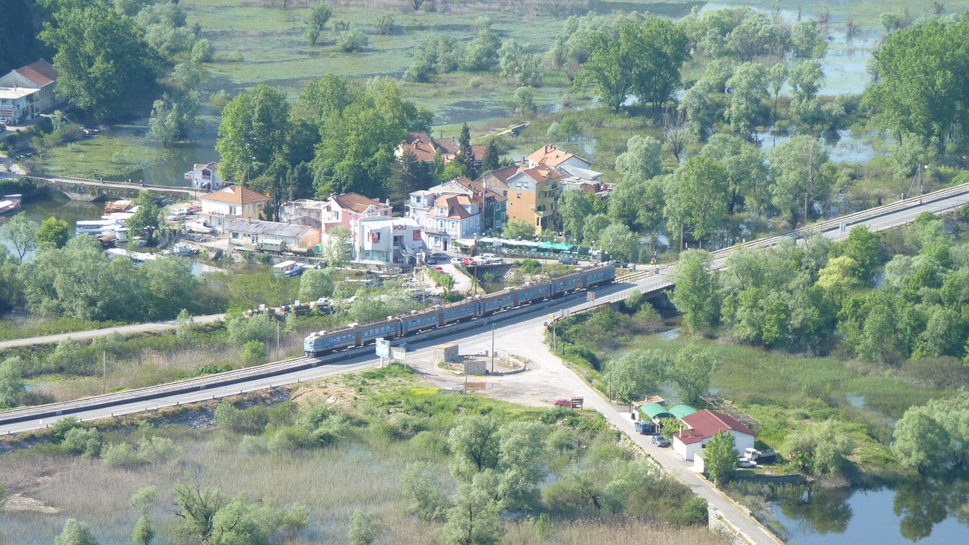
That's a very "Russian" looking train.
But we drove round the outskirts having filled up with diesel at the first convenient station.
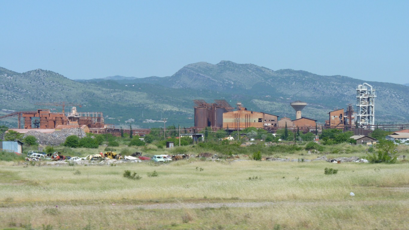
This looks like a metallurgical plant of some sort just south of Podgorica.
Probably Podgorica Aluminium Smelter. Combined with an Alumina Refinery.
The bauxite is mined within Montenegro.
It apparently operates at a loss but is Montenegro's biggest industry and is heavily subsidised.
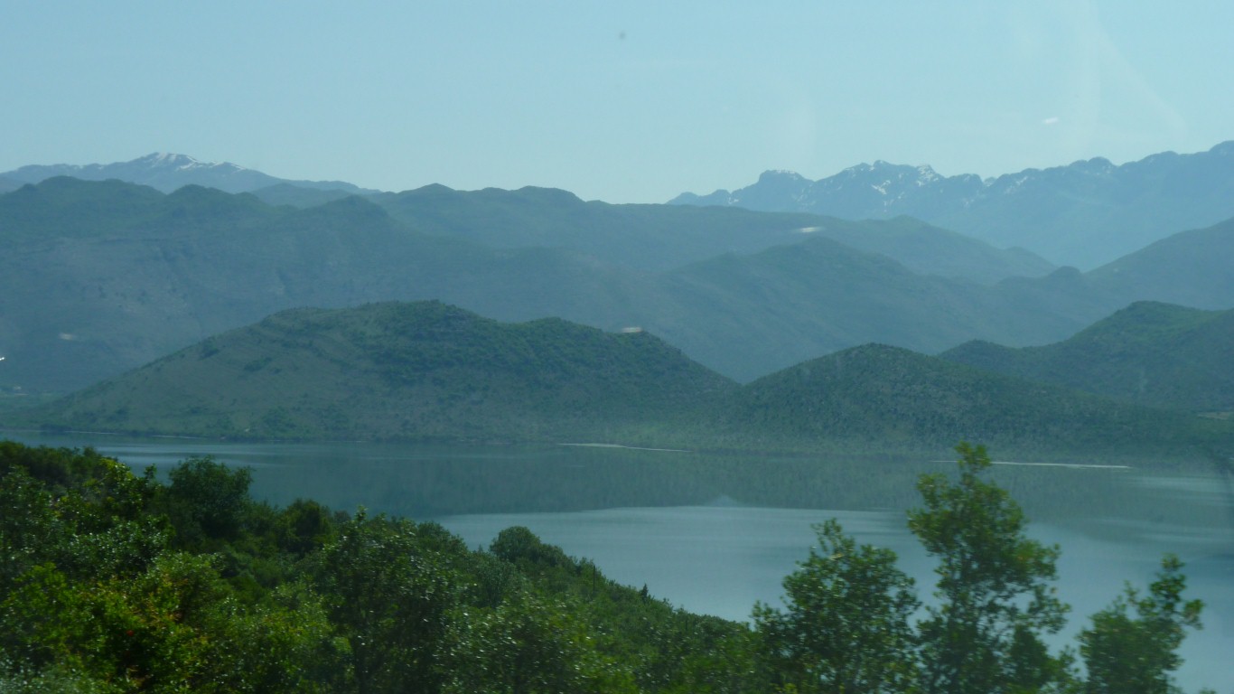
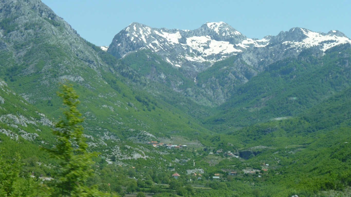
Albania on the far side.
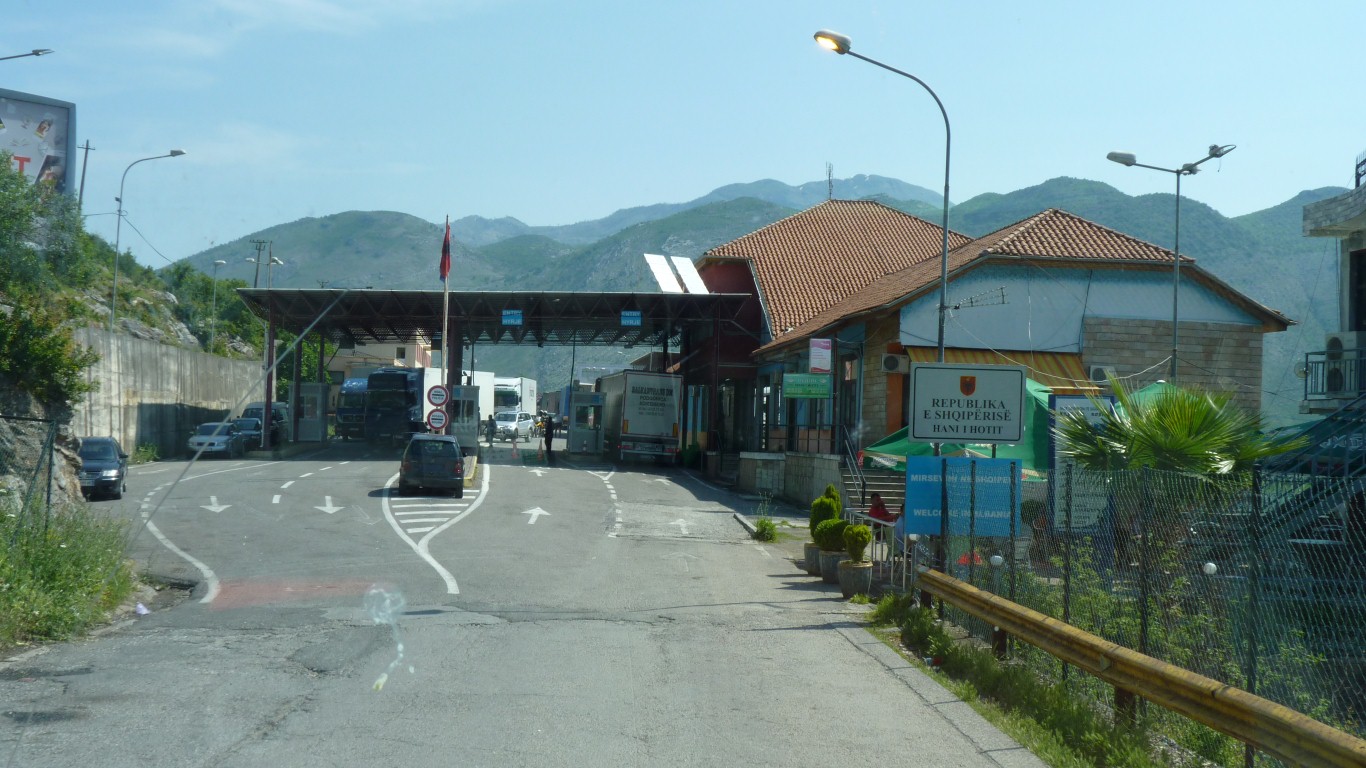
We'd read that we should register our presence in Montenegro with the police. Advice as we entered was "not necessary for a couple of days". Not a mention on exit.
We also seem to have avoided the E10 eco tax we'd read about but seen absolutely no sign of.
We stopped, asked, we're referred to the nearby English speaker, and pointed at the bank.
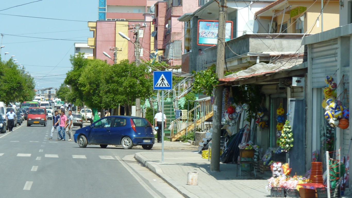
While I went for money Ali asked directions for Theth.
This town is somehow alive and cheerful. "Real shops" and "real people".
Very different to the hotel and cafe strips we've seen further up the coast.
Perhaps driving past Dubrovnik and Kotor were the right thing for us.
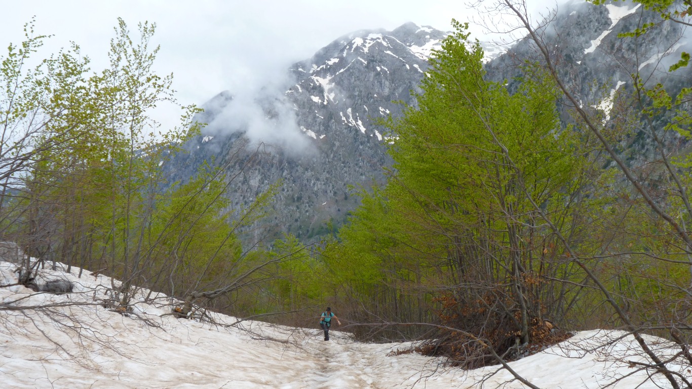
So we followed our directions.
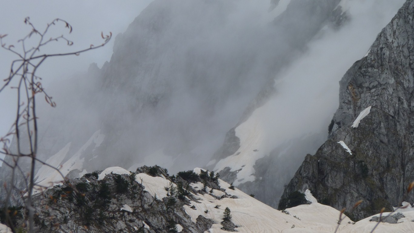
With snow.
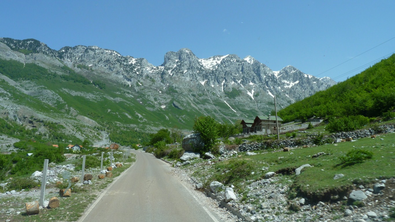
Signs of glaciers we think.
An English speaking Albanian road worker who had spent some years in UK.
Not a local, he lived on the coast.
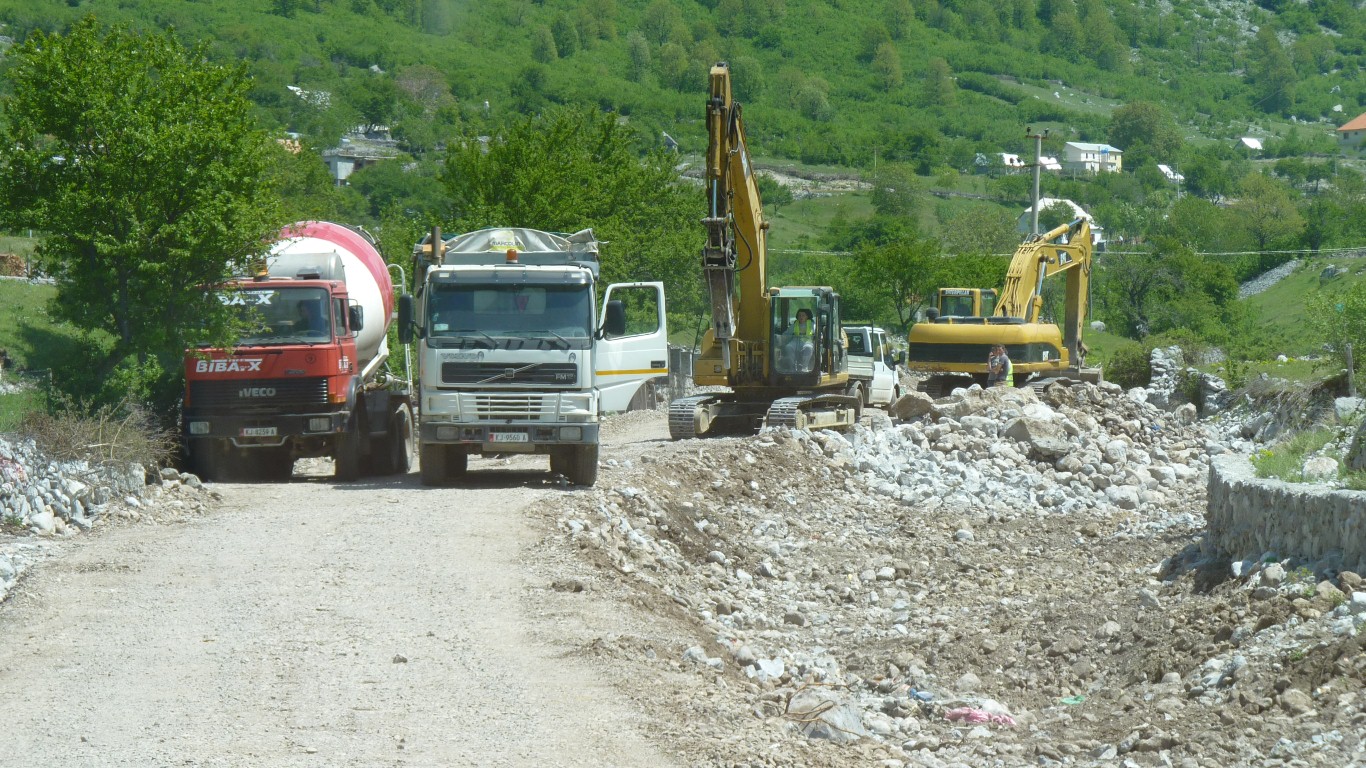
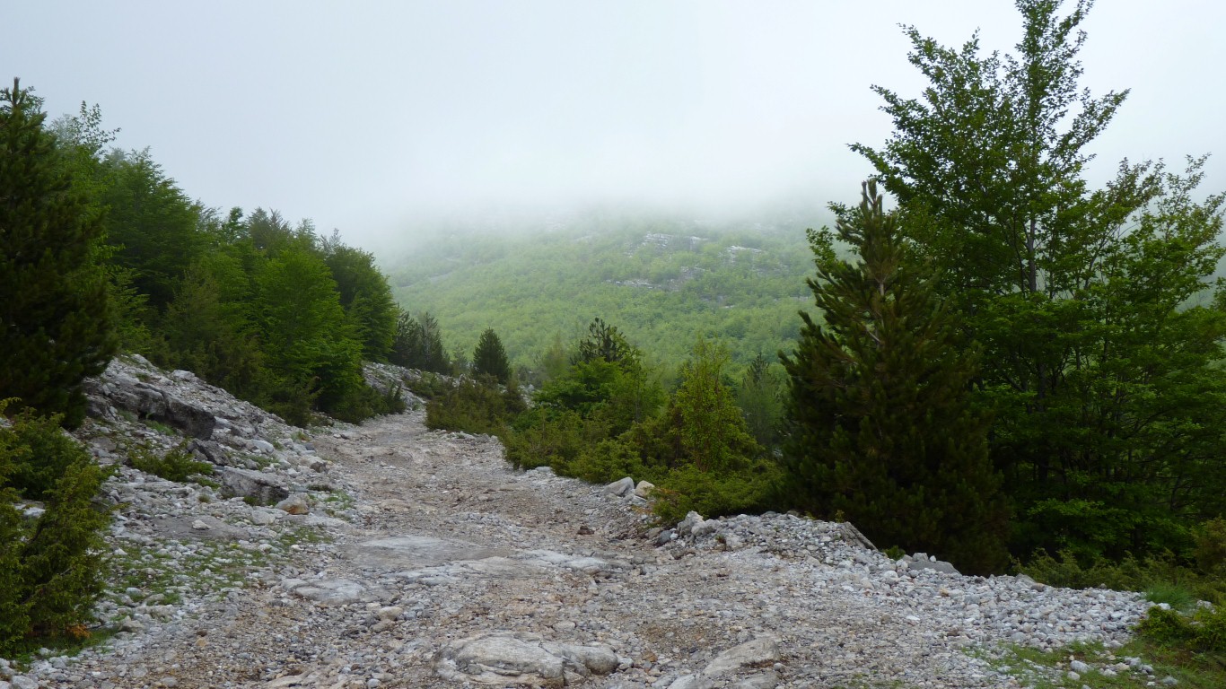
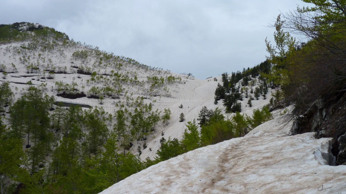
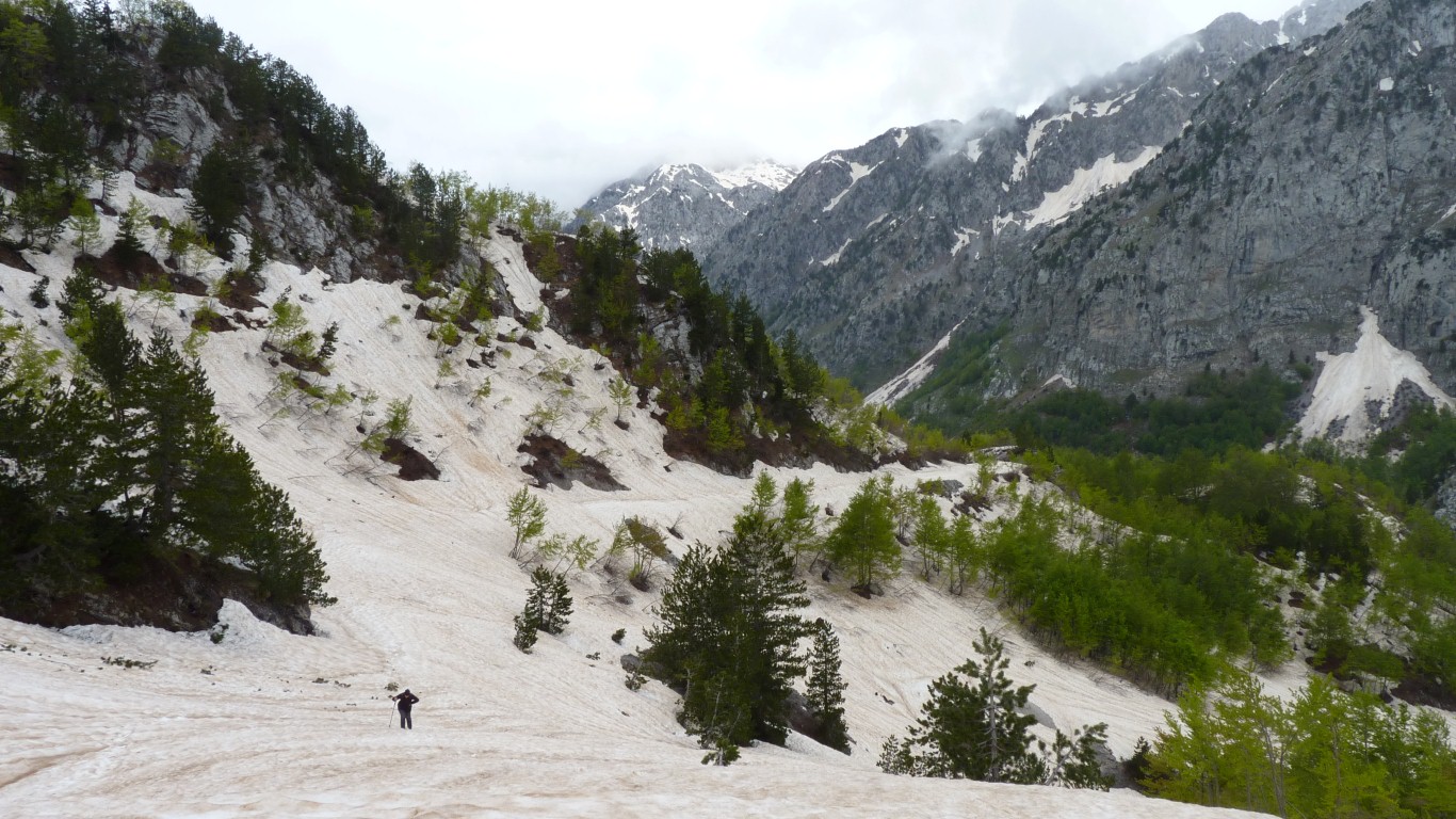
We decided to head further up the valley anyway. Everyone we passed told us the road was closed - just the distance varied from one to eight km.
Once we'd passed the trucks we'd be on our way.
Not a problem we had someone to guide us. If the one on the left can get through so can we.
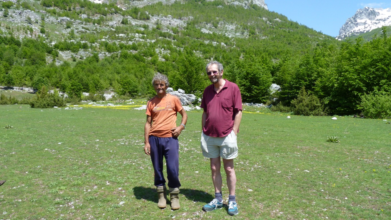
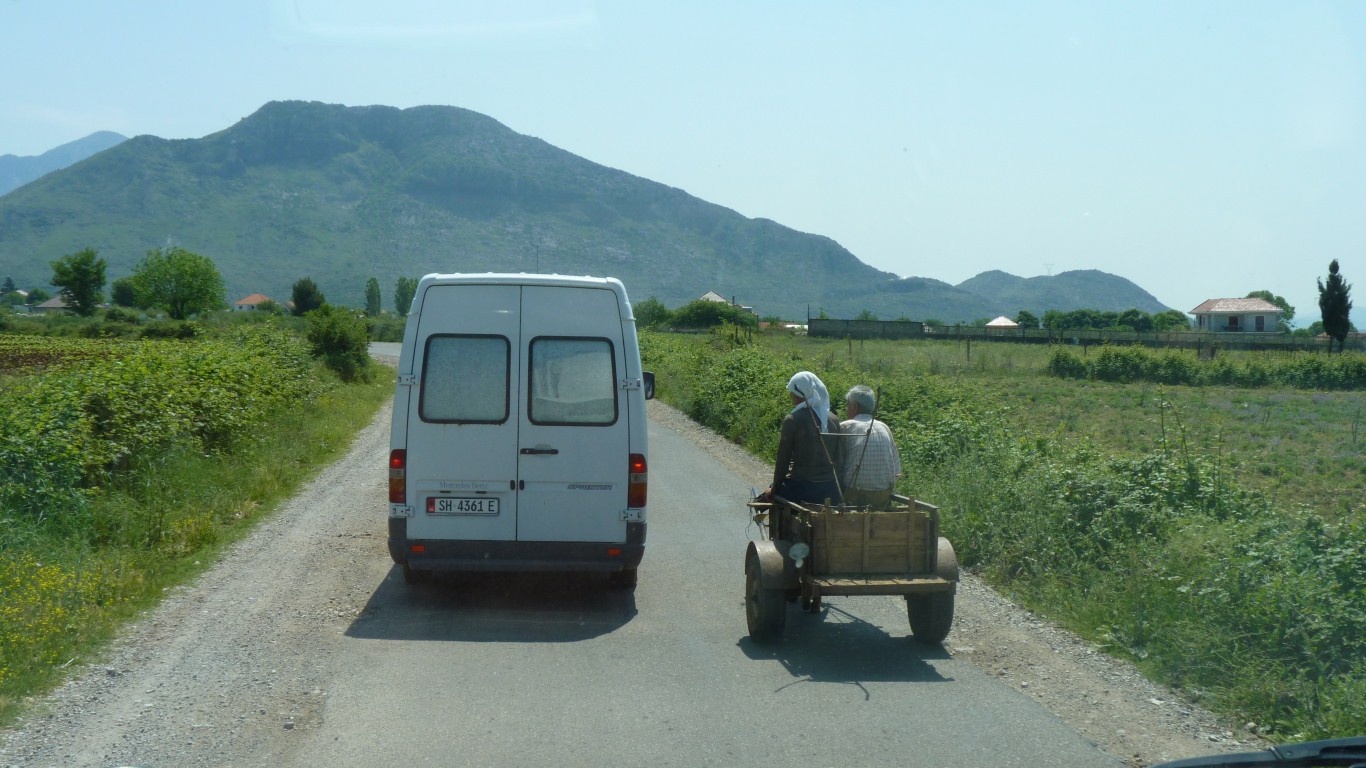
While talking to a German couple on motorcycle, who sadly turned back as the stones were too hard for them, this Albanian gentleman passed carrying a large (about 25kg) sack of potatoes. His wife was driving a pair of donkeys.
When we set off we offered to put the spuds in the back.
Almost no English - and Albanian is of Illyrian origin, as distinctive as Basque. Near where we offloaded the spuds, to be planted in a small field ploughed by donkey power, he directed us to a field where "many tourists stop".
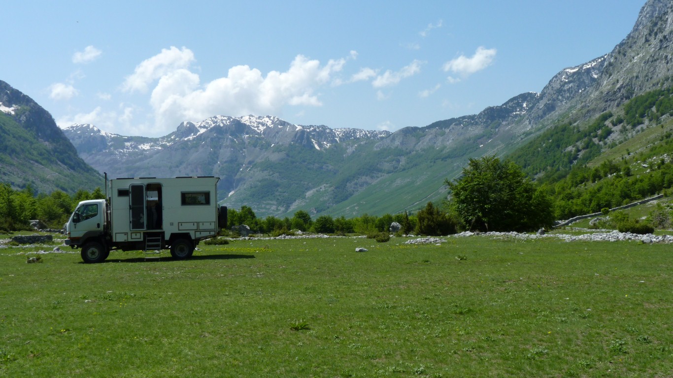
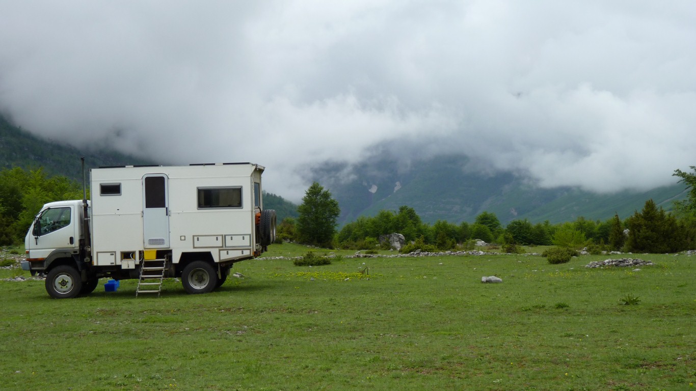
We could see faint tyre marks in the grass and some old campfires. So we stopped.
In contrast to Morocco, where there seemed also an expectation of more, there were no strings attached. Simply giving someone with a heavy load help. Just like pulling someone out of a river in Mongolia.
On reflection, the Italian aid worker (driving a newish Toyota) who also stopped for a chat with us must have passed the potato carrier. Which left us wondering about the nature of aid and how its delivered.
By snow. Usually until June.
We were visited in our idyllic field by a German couple who had camped in Boge (camping ground) and walked up.
Surprised to see us.
The road would be almost impassable for their low clearance motorhome.
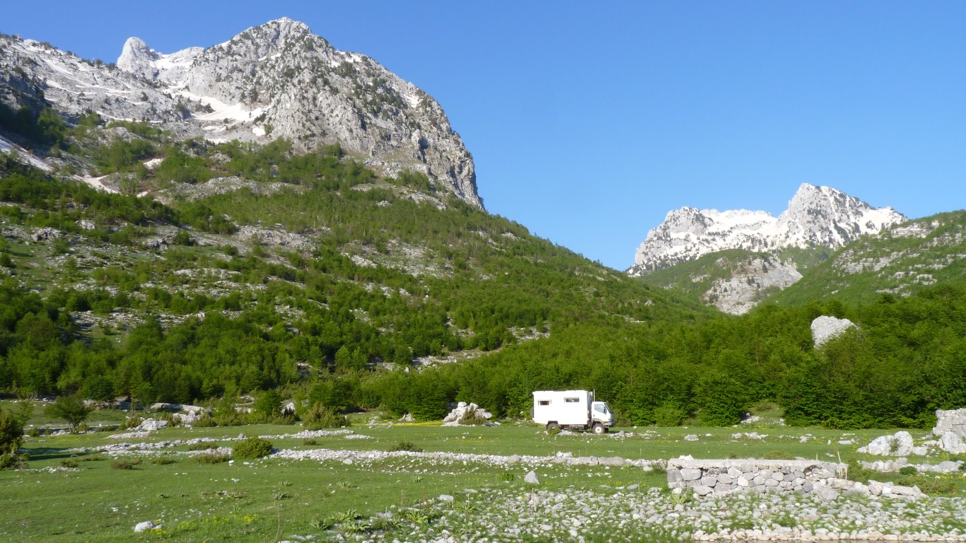
We are not used to wild camping in such an obvious place.
We're more into "stealth".
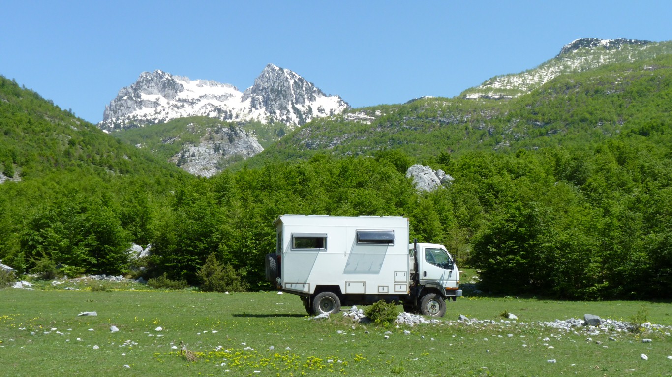
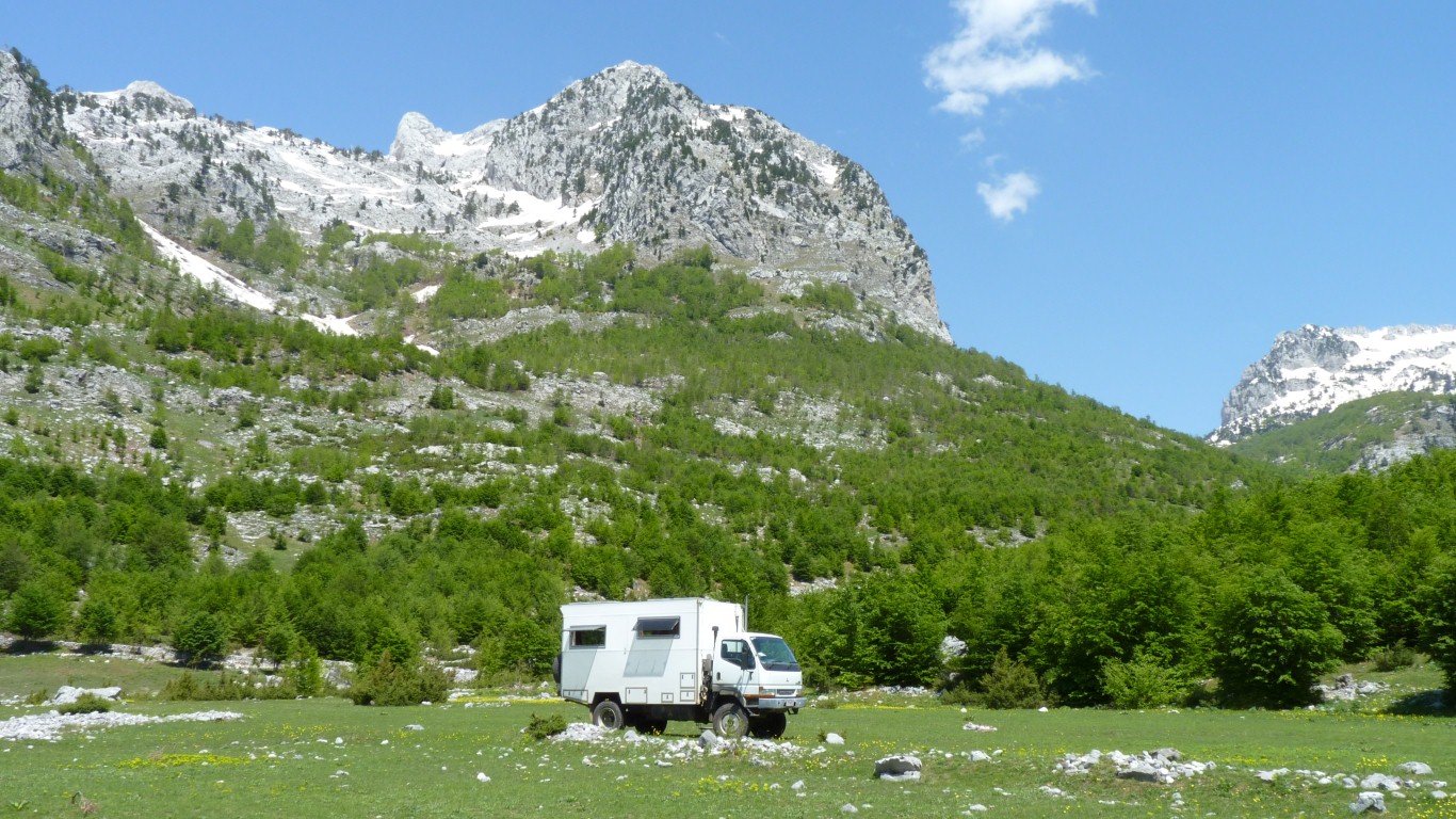
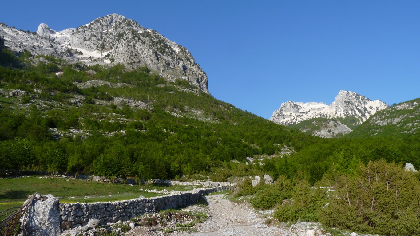
The road to Theth in the foreground.
And admired the view.
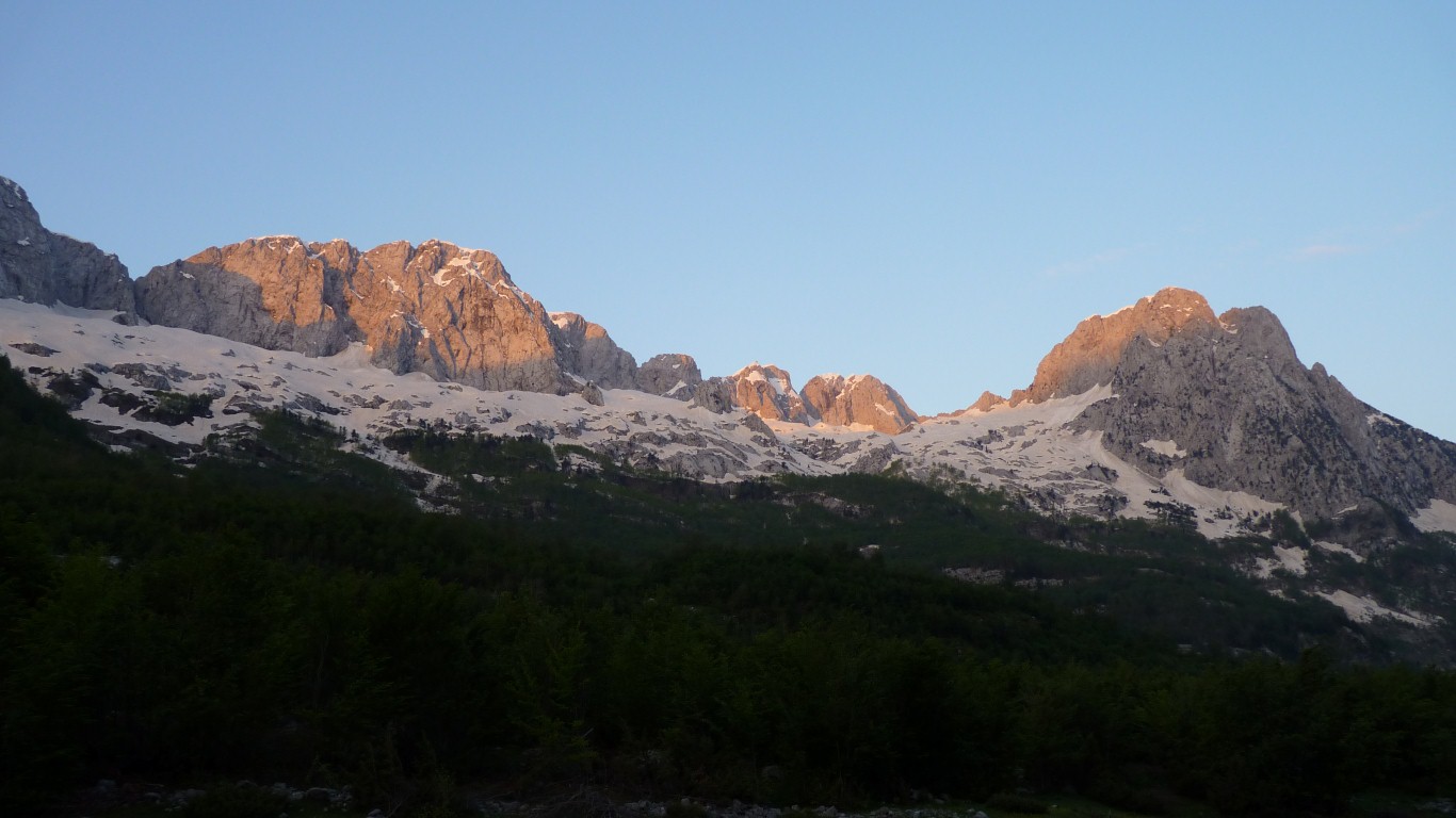
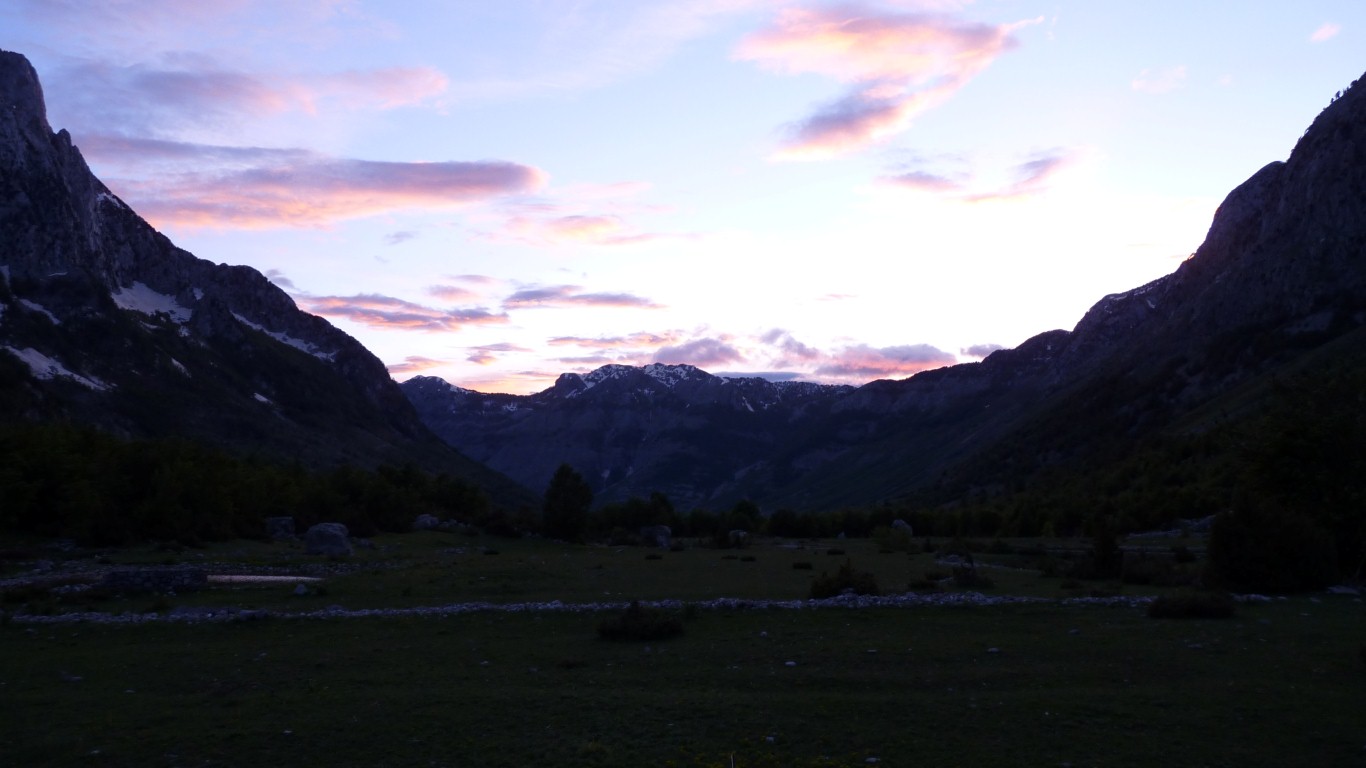
At various times of the day the sun lights up all the mountains around us.
A couple of vehicles carrying road workers, firewood collectors, and Italian aid workers passed.
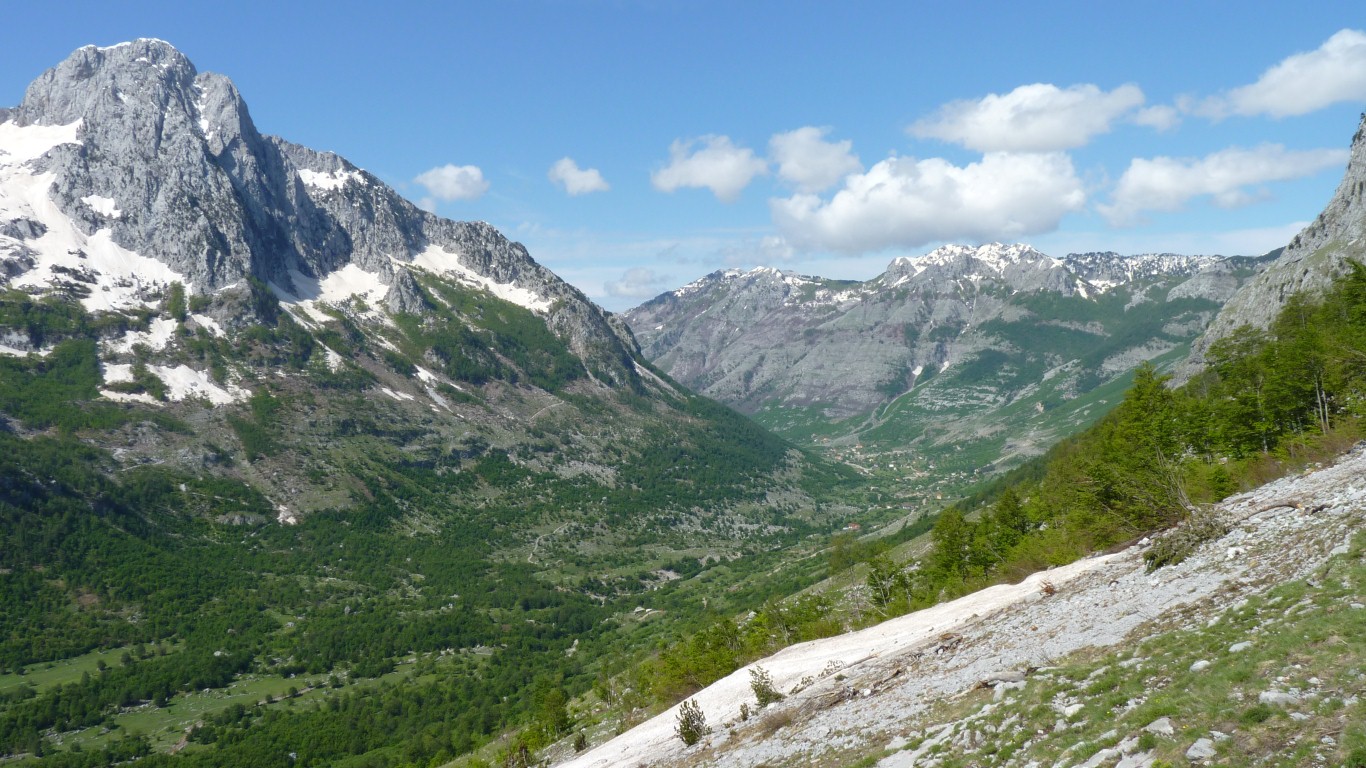
Its a distributed village.
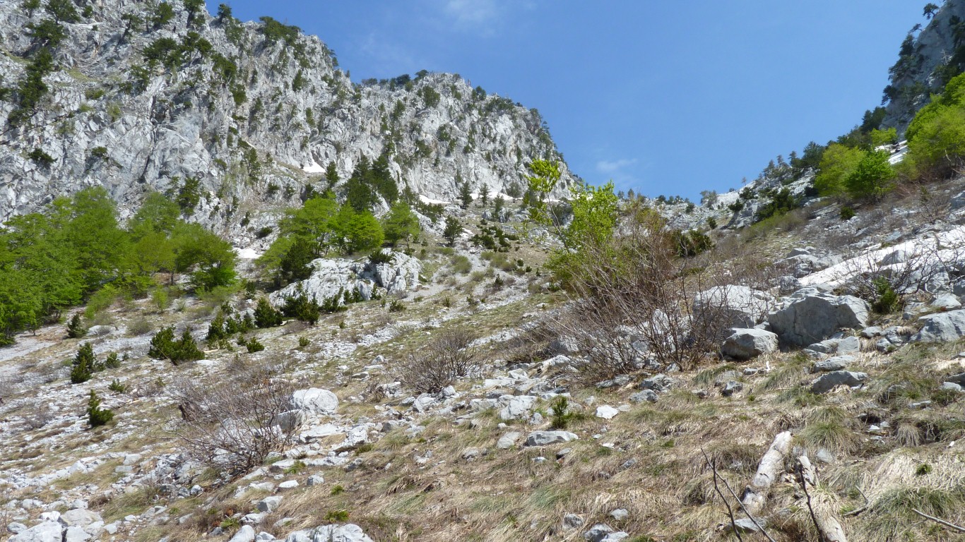
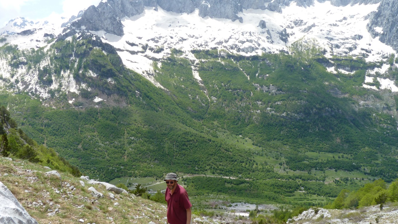
I decided to climb up the side of the valley to a possible pass.
Ali decided to do more sensible things like writing and drinking coffee.
Sadly, knees and hips are overtaking both of us. Particularly a clicky bit of cartilege in Ali's knee.
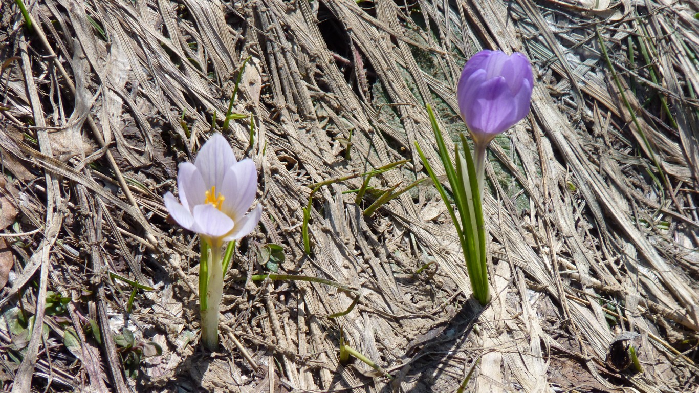
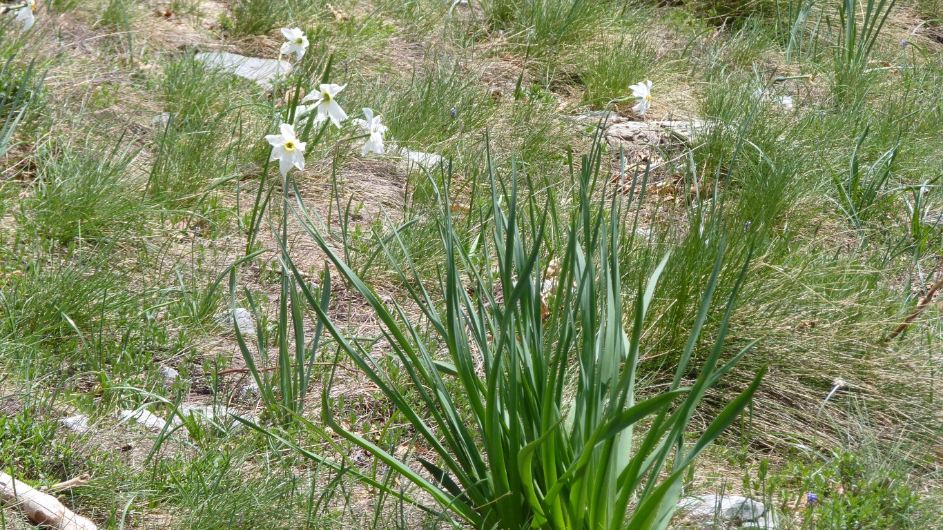
The surrounding grass hasn't recovered from being covered by snow yet.
In an interesting parody of Parkinson's Law my lungs filled to their available capacity.
Unfortunately it was insufficient to keep up with the demand from my legs.
Its a bit steep.
The downside of not walking at Ali's pace. So I stopped for a rest every so often. As Ali had instructed.
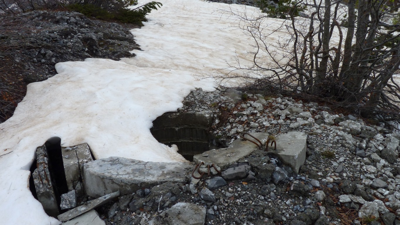
Its to the left of a small squareish reservoir full of water and tadpoles.
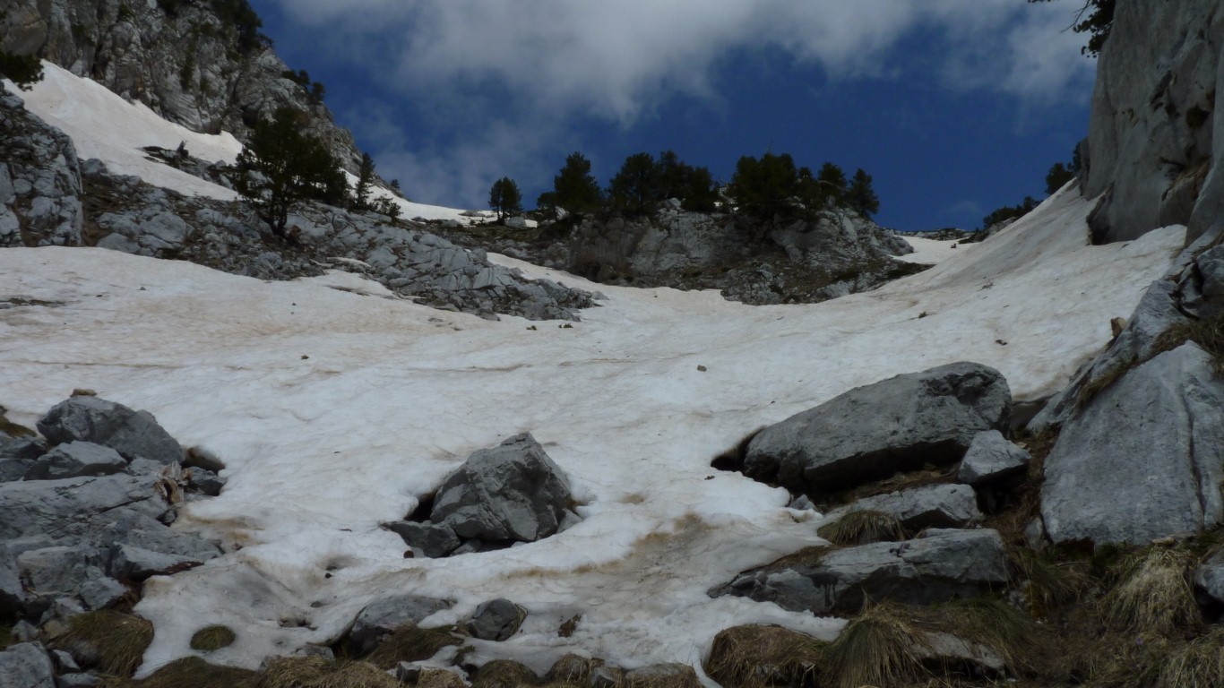
The snow is hard. Too hard to kick steps and without an ice axe a tad dangerous with no runout.
The rocks either side are climbable but have a bit of a drop.
So I called Ali on the radio and retreated.
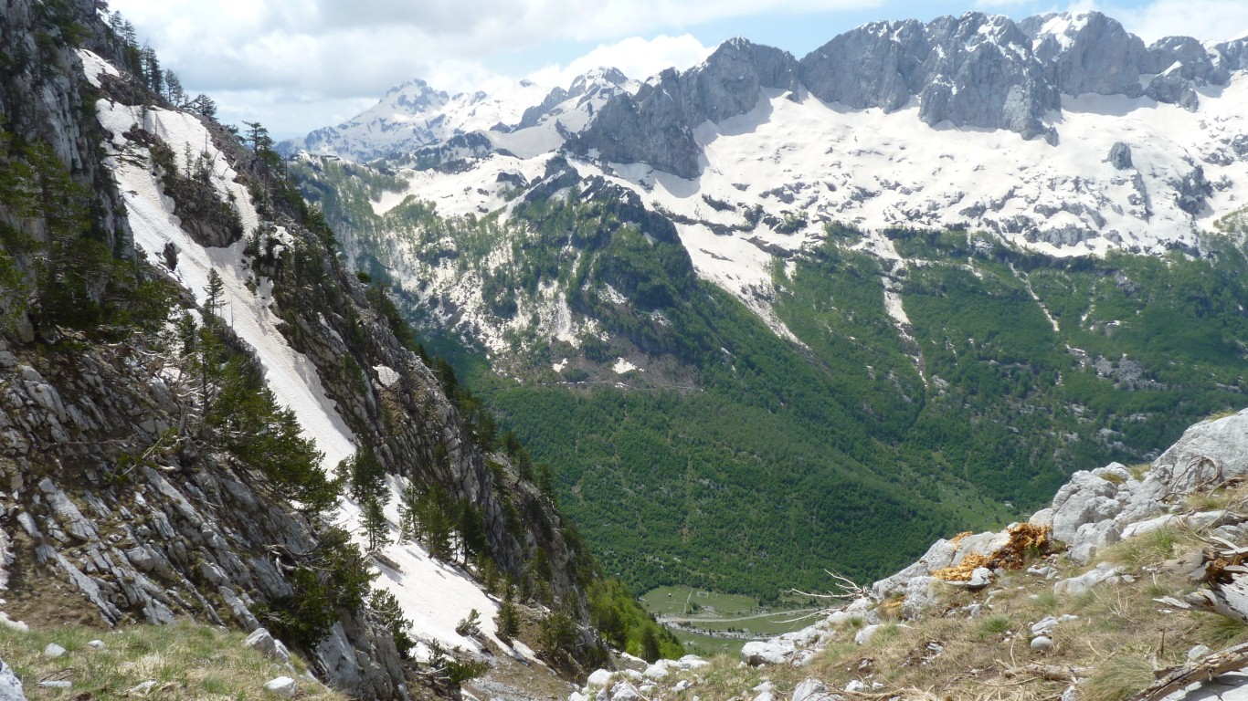
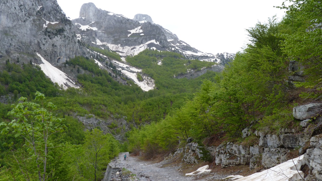
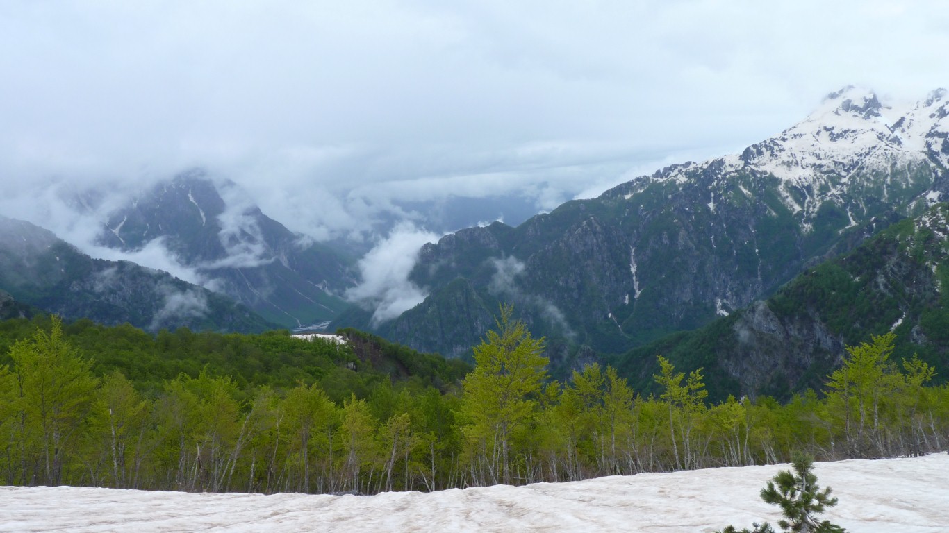
So near yet so far after a couple or more hours of hard climb but what a beautiful view.
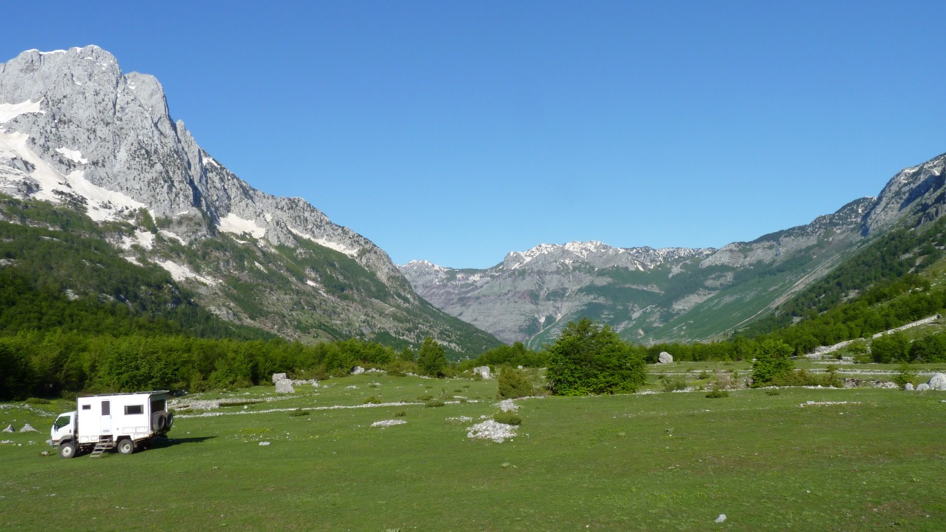
At least I could see where the road to Theth became snowbound.
Somewhere around the snowline on the left, and the road goes further up over a pass.
We'll walk up that way tomorrow.
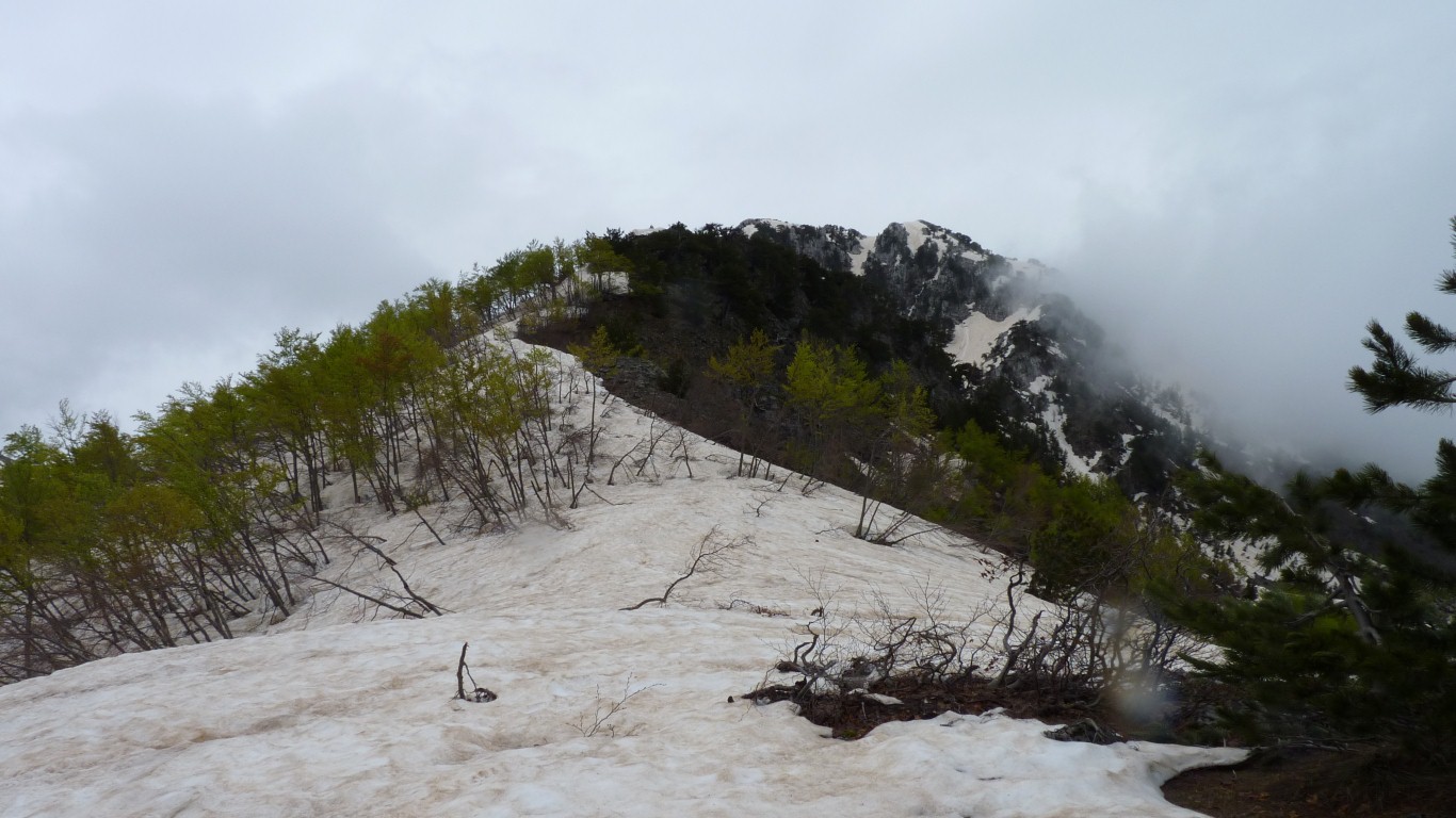
Steeper and further than it looks - a bit distorted by the wide angle of the camera lens no doubt! No track. About 4 1/2 hours up and down. We are camped just above 1,000m, the pass is above 1,600m.
The clouds are the beginning of a change our barometer is trying to tell us about.
A slow build up during the day and a bit of rain in the evening. Maybe fill some buckets with water.
Punctuated by testing the capacity of our new buckets (thanks Dave) for water collection.
With about 10mm of rain we collected 85 litres of water.
Had showers and filled the tanks.
Fortuitous as the mountain communities are apparently short of water.
Haven't a clue why.
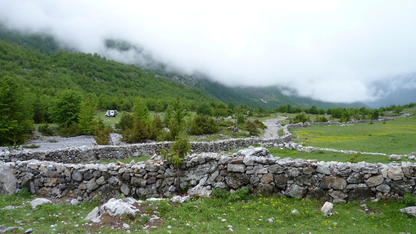
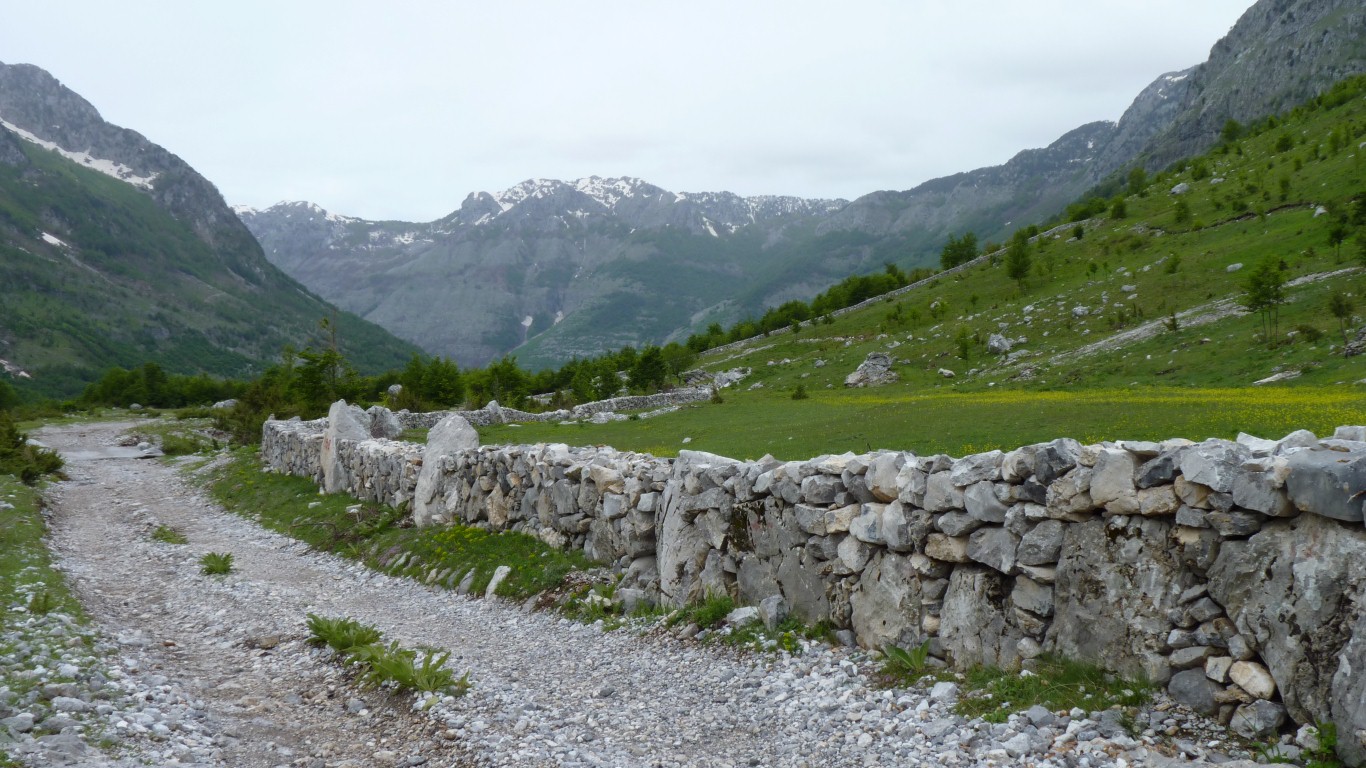
We continued to admire the newly built looking dry stone wall.
The visitors looked more conventional than our potato planter. The short haircuts were a bit of a giveaway. We hope they bore him no ill will.
Albania recently left communist collectives so presumably our Albanian gentleman has found his family a bit of land to cultivate. For themselves.
At some time after the demise of communism the Albanians refused to work on the collectives.
Pleased we didn't set forth.
Sally forth that is.
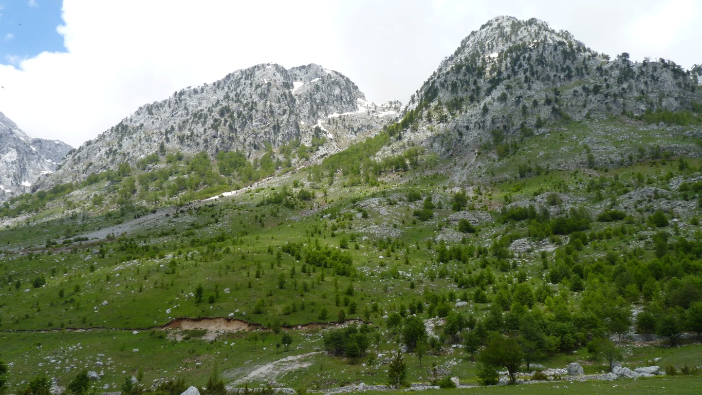
The track zigs and zags a bit to a pass about the same height I was at a couple of days ago.
Hopefully easier.
And a bit of height.
There's a vague sign of two people walking up and down at least several days ago.
And some faint evidence of a tracked vehicle, earlier.

Courtesy of the Sahara Desert.
Probably the bit we kicked off the top of Erg Chebbi!.
The pass is in the distance. Marked by a cross.
We think Oafa e T'thores (pass).
The road traverses below the pass and has a couple of zigs and zags to the left.
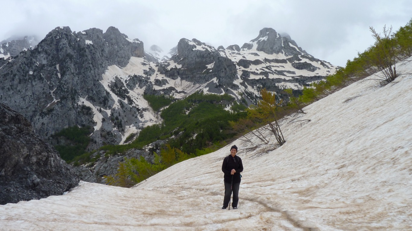
Softer snow than a couple of days ago. Just right for walking on without falling through.
And a moderately level runout just in case we slipped.
Looks like the track traverses the mountain to our left before a few hairpins down to the village.
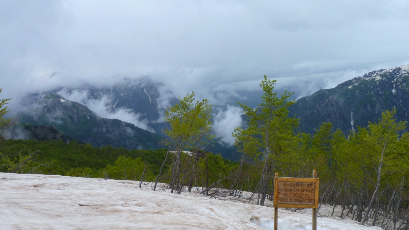
We think we are just on the border of Thethe National Park (Thethi on a different map).
Apparently the road in from the south is also closed by snow until June.
Just visible.
We are above 1600m. The village of Theth is somewhere below us, below the 800m contour.
The track traverses off to our left.
We'll have to imagine some of the snow covered peaks.
There's an inviting red arrow painted on the rocks.
Though not quite sufficiently inviting to entice us away from a warm truck for much longer.
There's a bit of a chilly wind up here.
From our map there are similar, hidden from us, peaks surrounding the valley.
Knees and hips have survived another hard day in the mountains.
Our truck in the clearing closer.
We do like limestone.
Hot showers to sooth the aching limbs.
Enough water left in buckets to re-fill tanks.
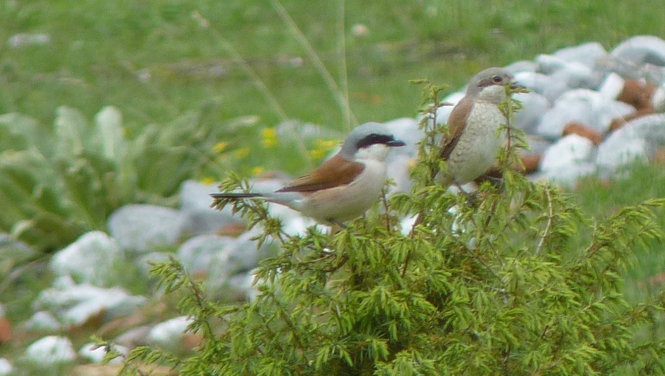
They finally sat in the top of a bush close enough for a photo.
The following dawn was inevitably cloudless.