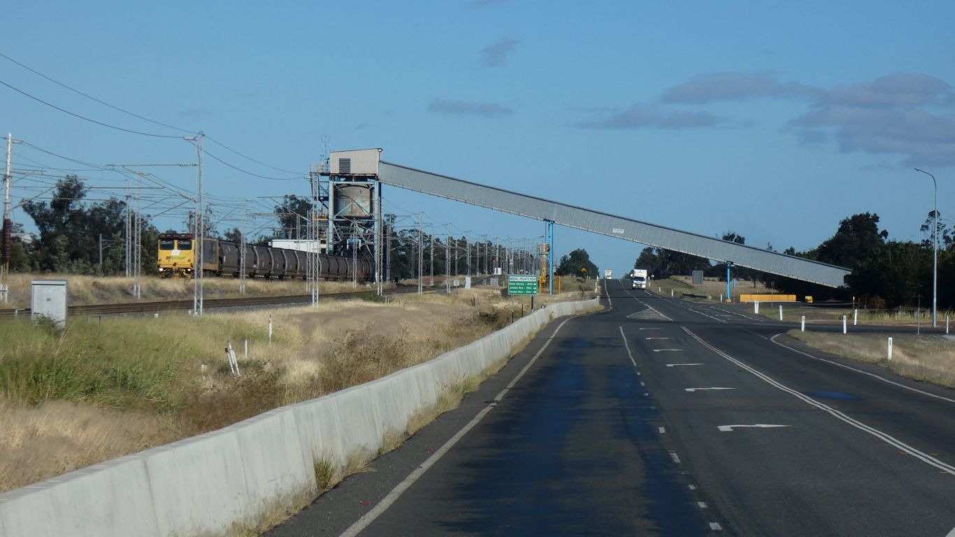
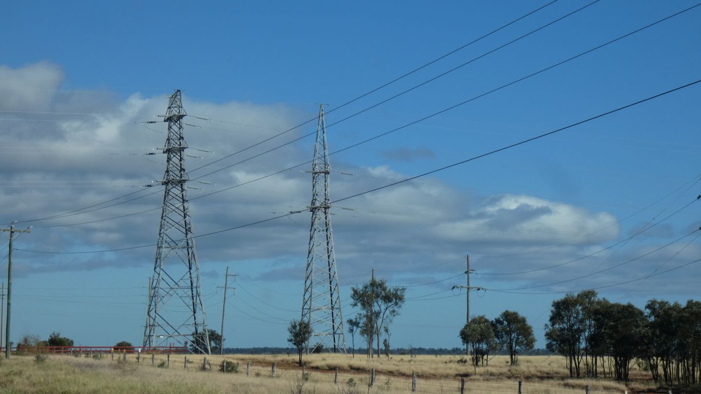
The wires in the pic are for the railway and overhead power lines.
Somewhere near is a 100MW solar farm. Presumably making use of the power lines for distribution.
There's an International Coal Centre that looks well funded, but we see a future of renewables rather than coal.
There are several largish solar farms in the area that are presumably making use of them.
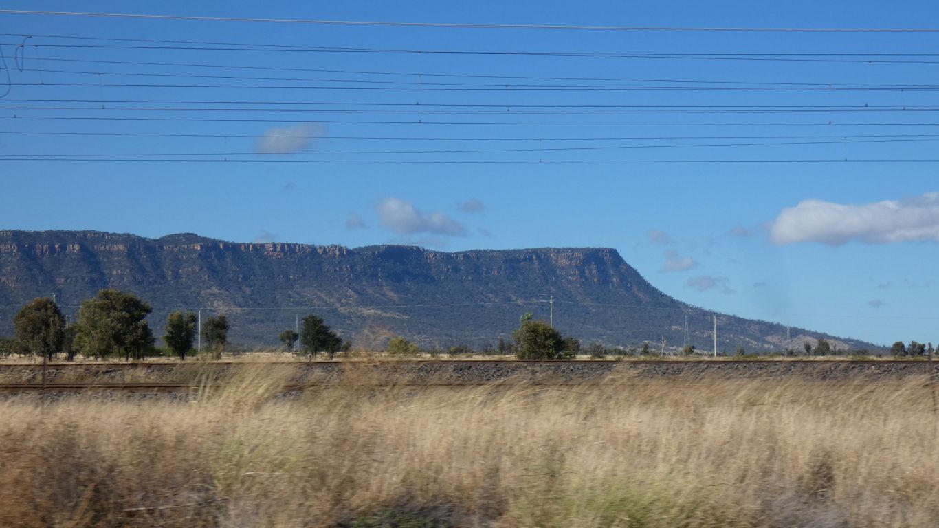
The Bowen and Galilee Basins straddle the range.
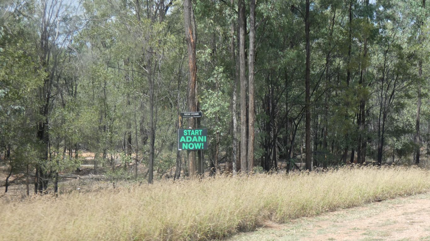
Struggling for finance the mine has been scaled back and the railway limited to narrow gauge connected to existing lines rather than new standard gauge.
The mine is yet to gain environmental approval from the Queensland Government.
Its not good coal (high ash), the environmental work seems to be less than rigourous, and the ethics of Adani are (to me) questionable.
Apart from which renewable energy is cheaper.
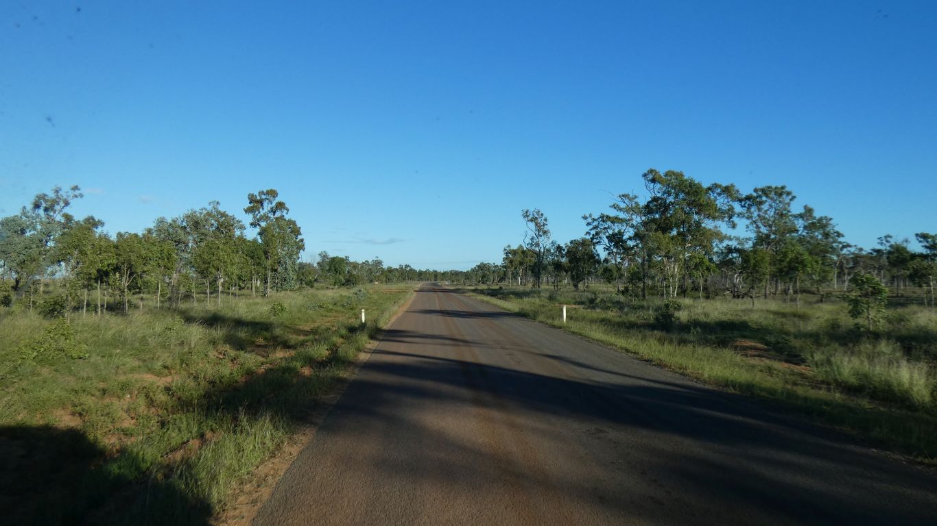
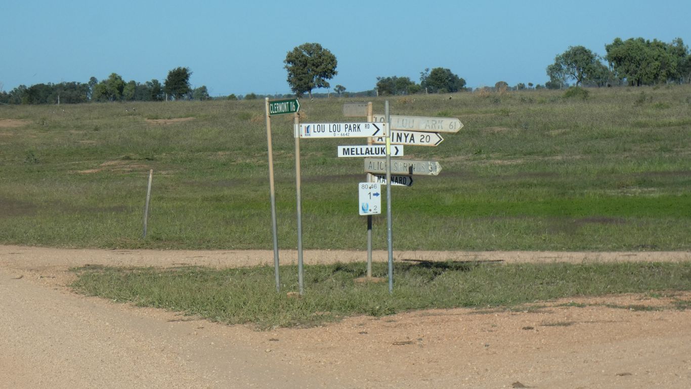
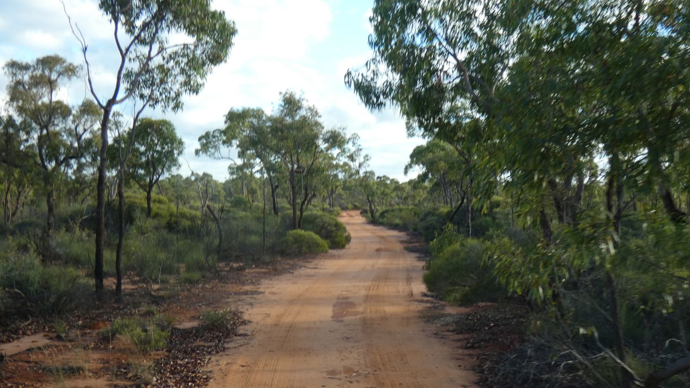
Next day we headed west. Rather than take the main road north to Charters Towers we decided to take back roads.
The aim was to head west to Lou Lou Park station then north. Alas, the road north didn't exist so we headed further west around the south of Lake Galilee then north.
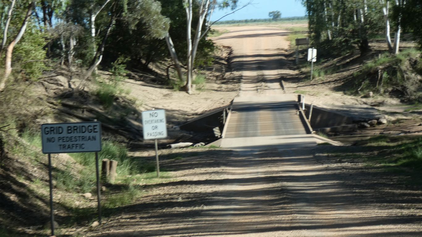
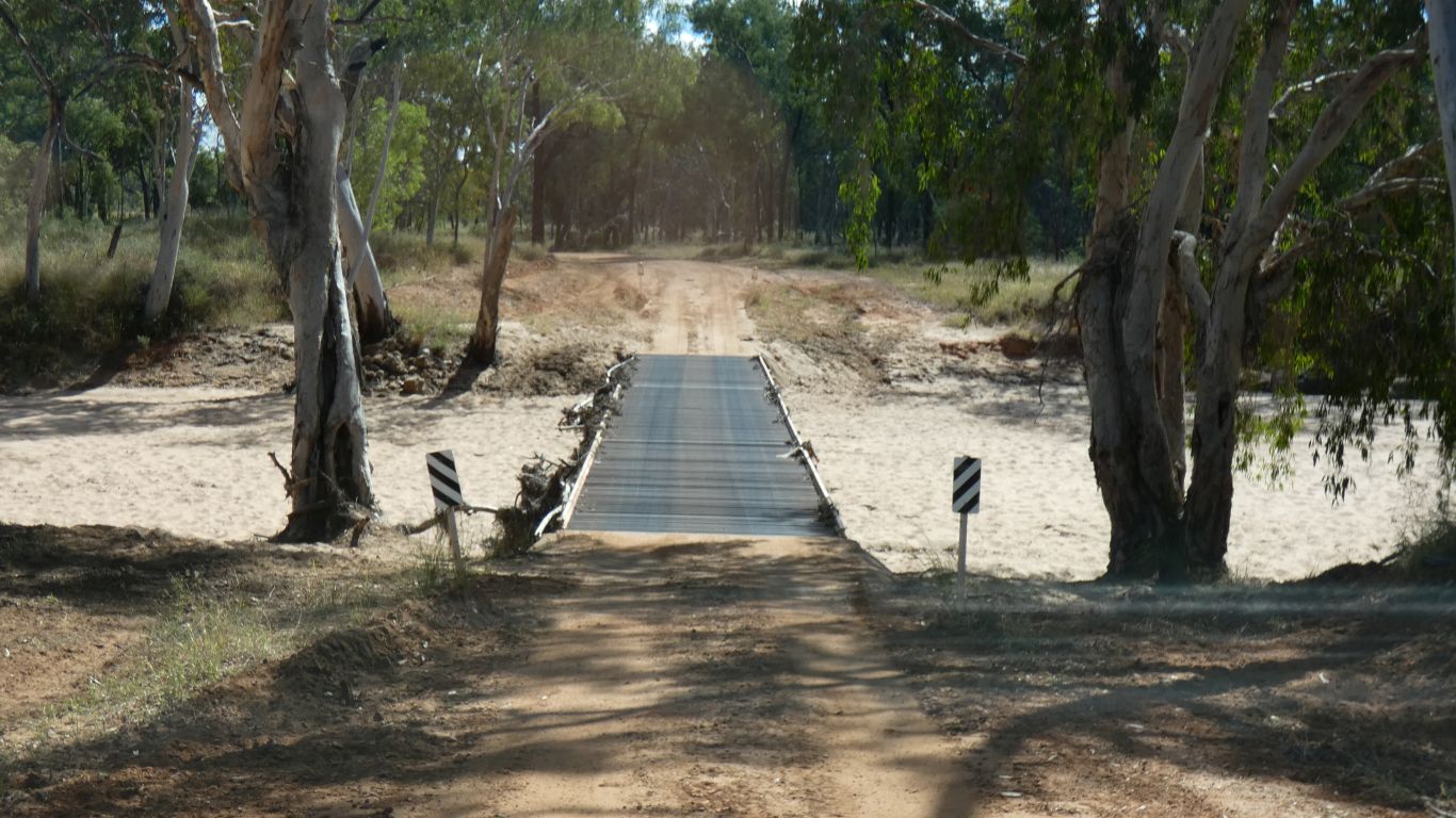
We aren't sure how many pedestrians want to cross.
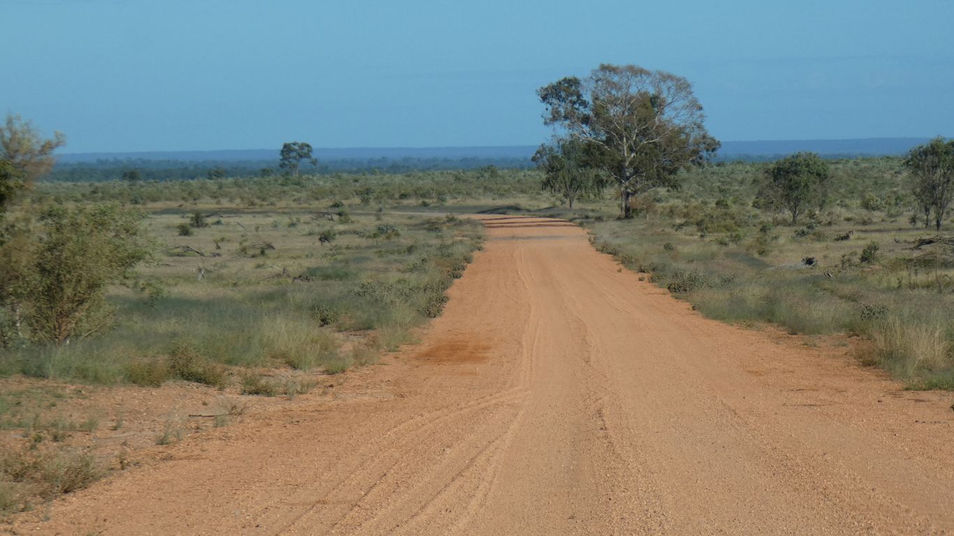
We pass Maynard, and Eastmere. Almost to Lake Dunn before we can head north.
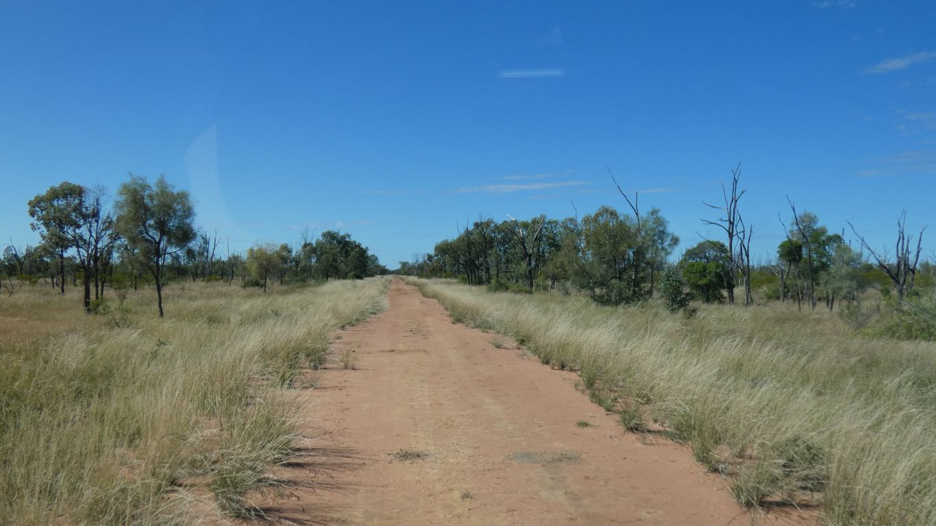
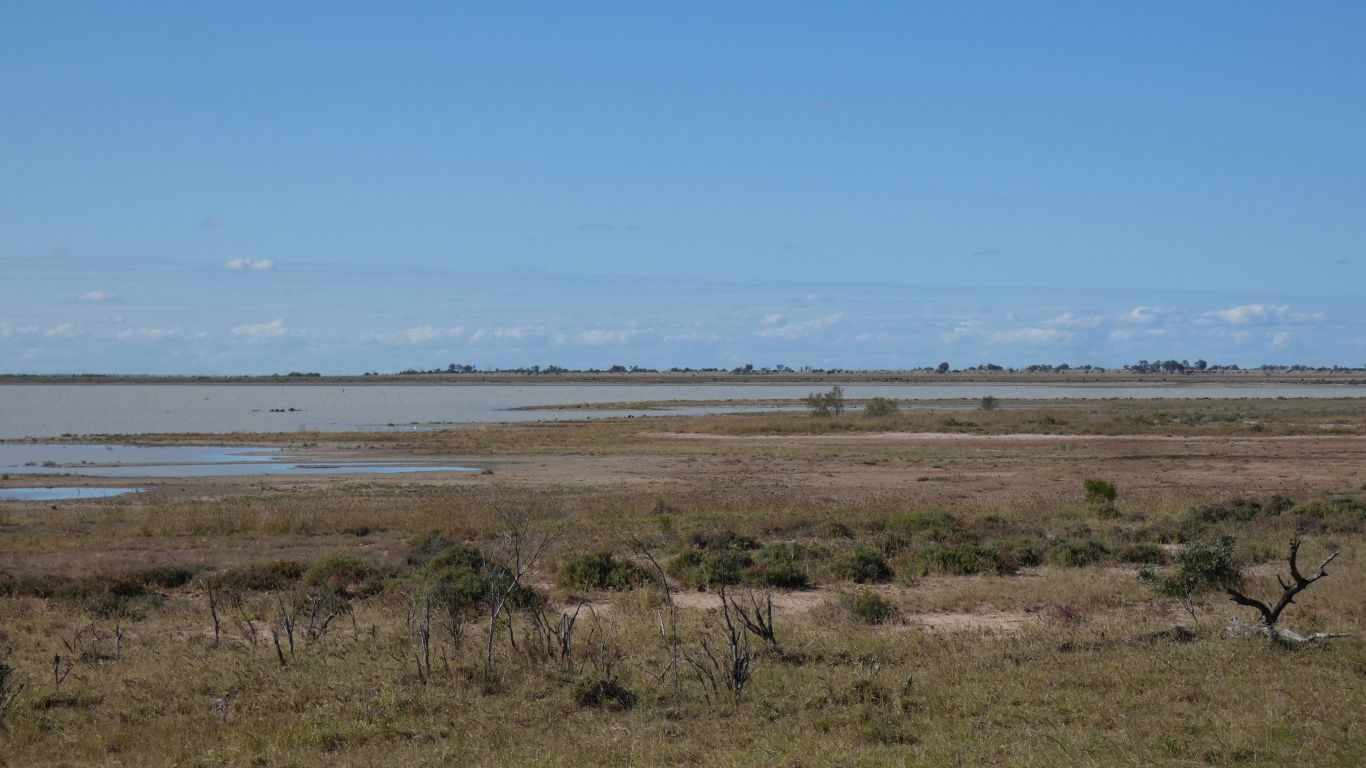
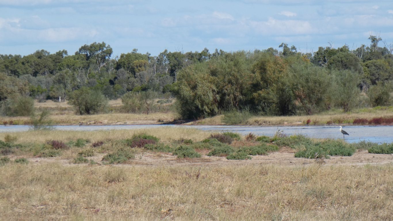
Near Lake Galilee we see another sign for "Heritage Trail". A track where a significant road should be. We think it may offer a glimpse of the lake.
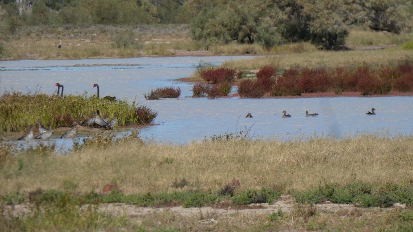
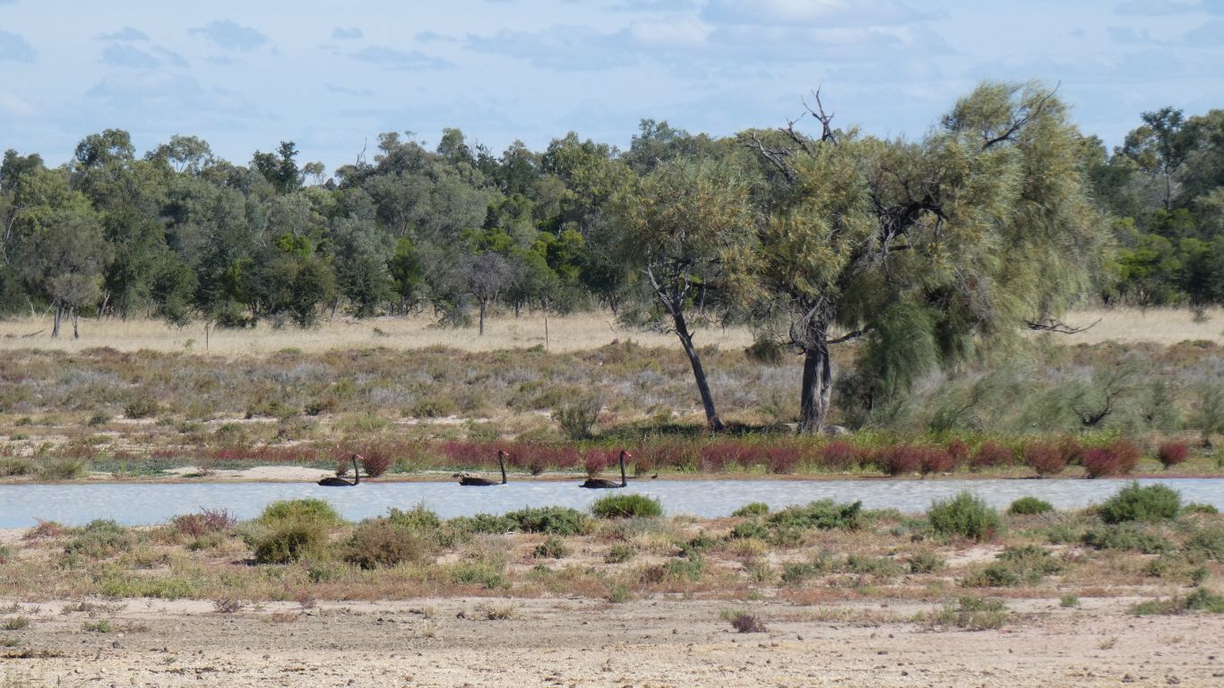
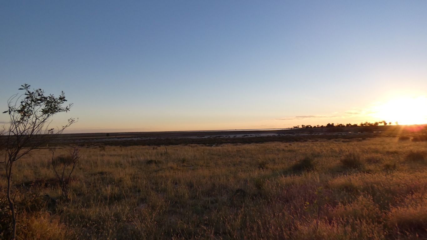
There's water in the lake from recent rains. Its ephemoral.
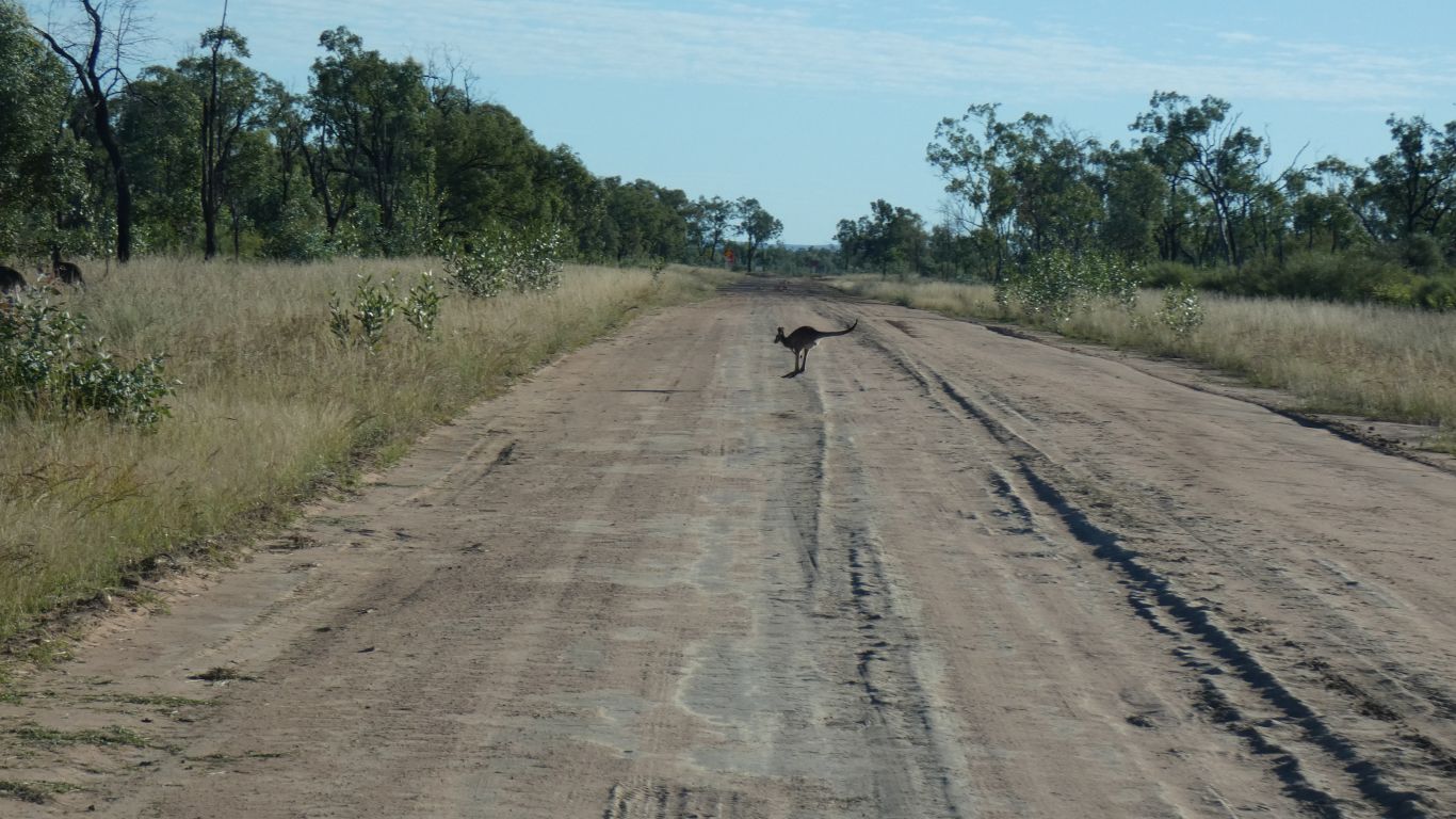
The birdlife is very shy. The swans just glide away. The ducks squawk a bit and become restless.
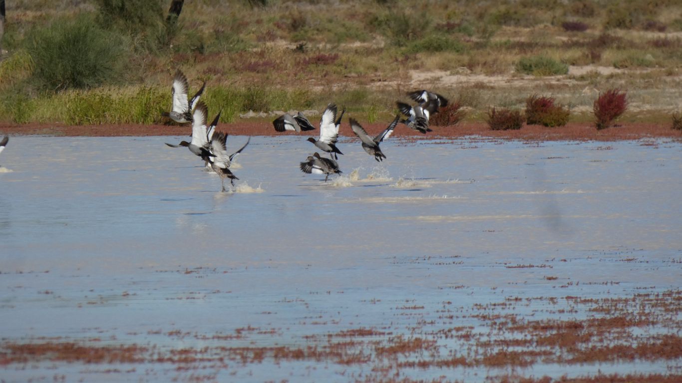
Just like the ducks in flight wall decorations that were popular around 1960 England.
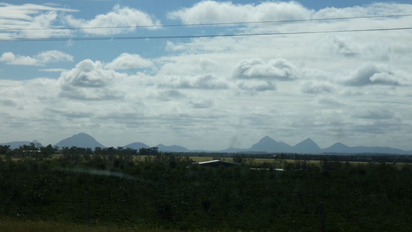
On our map the words "Dividing Range" extend across the lake in a NW - SE direction.
Which seems rather odd to us.
A minor problem at tea time. Just as tea was ready the electrics went beep and the lights went out. A few seconds later the lights came back on, but the inverter remained beeping due to low volts.
The battery monitor showed 9kW being drawn from the battery. Patently not happening as a fuse would have blown.
No hot connections, it took a wee while to find a loose bolt holding wires to the load end of the battery monitor shunt. Loose enough to create a voltage drop sufficient to stop the inverter and to cause chaos for the battery monitor measurements.
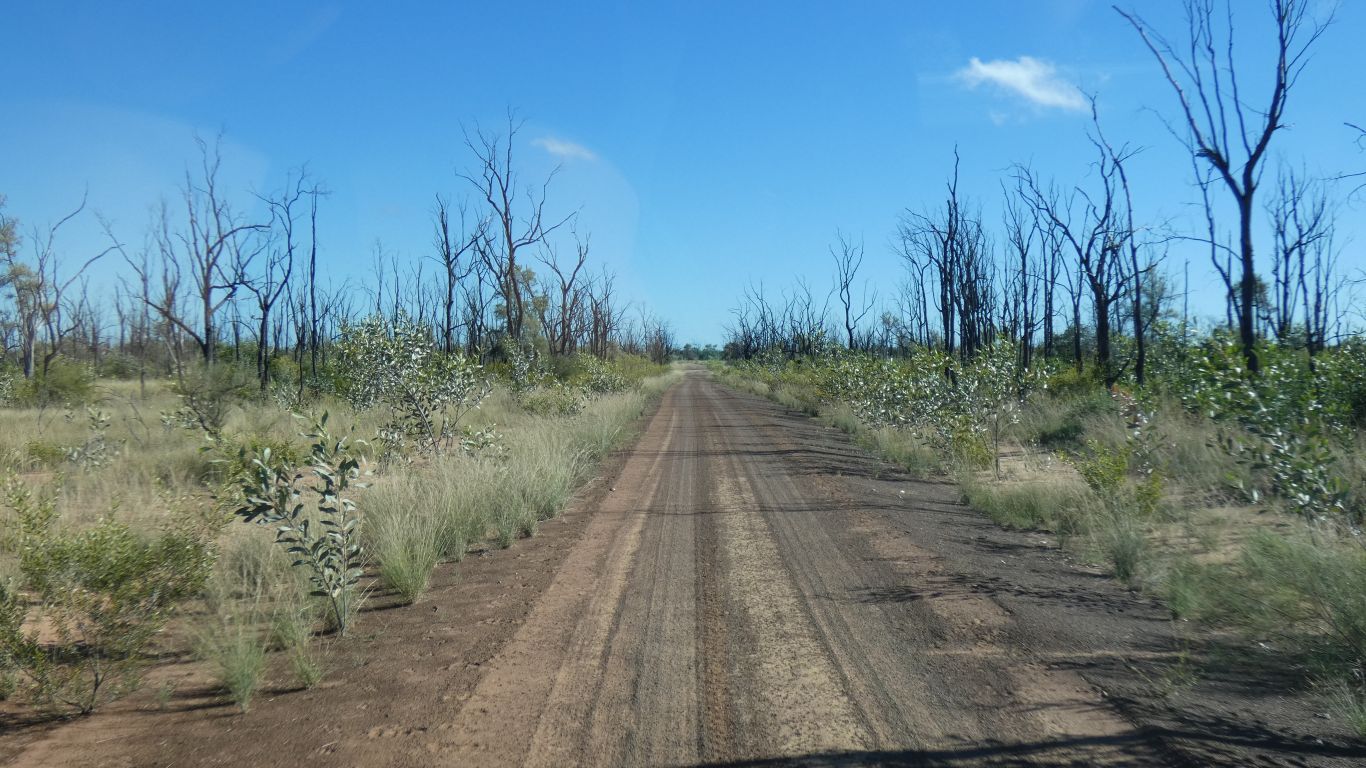
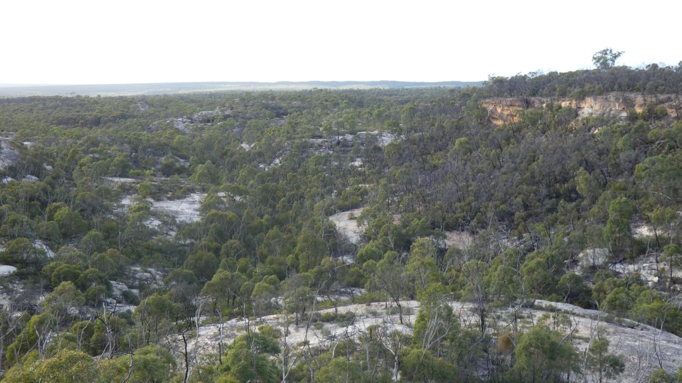
The track in is like a firebreak gone wrong. Park to our right, something else to the left. About every 200m is a hump to stop water flowing down the track, and limit the speed of vehicles lest the wheels leave the ground in an imitation of a ski jumper.
We have a pleasant night in a forest camp. No sign of mountains.
According to the 2013 management plan between 50 and 100 people camp here every year.
No internet, but a bit of planning from maps. We'll pass through Hughenden, internet for detailed planning and booking some camp sites, then head north. We have 5 days until the site we've booked in the Daintree National Park.
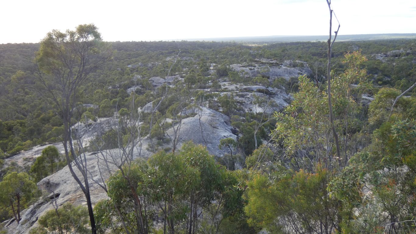
It took a while to decide that we really don't understand geology, at least not this bit in particular. Apparently all sandstones.
For future poorly informed, prone to being lost, adventurers the coordinates for the track are -20.7298,145.1821
So really, what looked initially like a relatively uninteresting national park with a strange entry was much better than we thought. Obviously it pays to look deeper than first impressions.
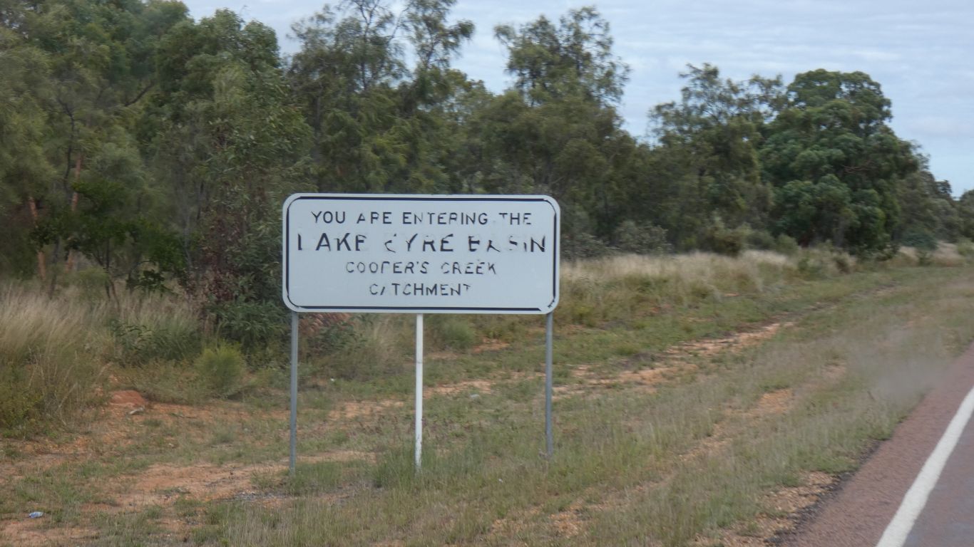
White Mountains is a bit interesting as water from there flows east into the Burdekin River and thence to the sea, and northwards in the Flinders River to the Gulf, as well as south west in Torrens Creek to Cooper Creek. Also, the area is part of replenishing the Great Artesian Basin (remember those mound springs to the west of the Simpson Desert - some of the water may have come from here, a million or so years ago, its a long way). I guess that's all a result of straddling the Great Dividing Range.