| |
|
|
| Porcupine Gorge National Park |
 |
May 25 - 26 2019 |
| |
|
|
 |
|
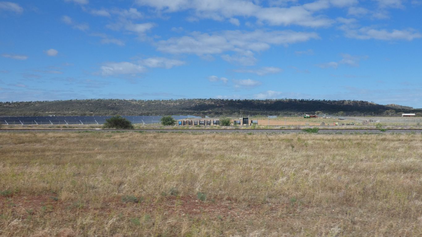
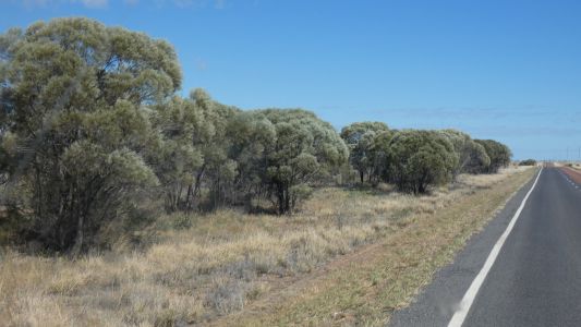
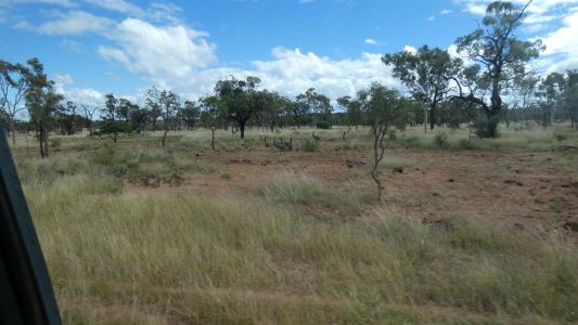
About 20km before Hughenden the landscape changed. Fewer
trees, a few hills. The windfarm is hidden behind the hill, to our left.
No wind so the turbines are still. But lots of sun for the solar farm.
There's a high tension power line beside the road so I guess the wind and
solar farms are connected. |
| | | |
 |
|
The gum trees have given way to Mulga (we think - we get
mulga and mallee mixed up). We are happy we can notice the difference in
landscape, but not really that difficult, its suddenly very different. |
| | | |
 |
|
Hughenden gave us water and dump point at the showgrounds.
And diesel. We missed the info centre and its dinosaur history. We are
headed north on the Kennedy Development Road into volcano country. |
| | | |
 |
|
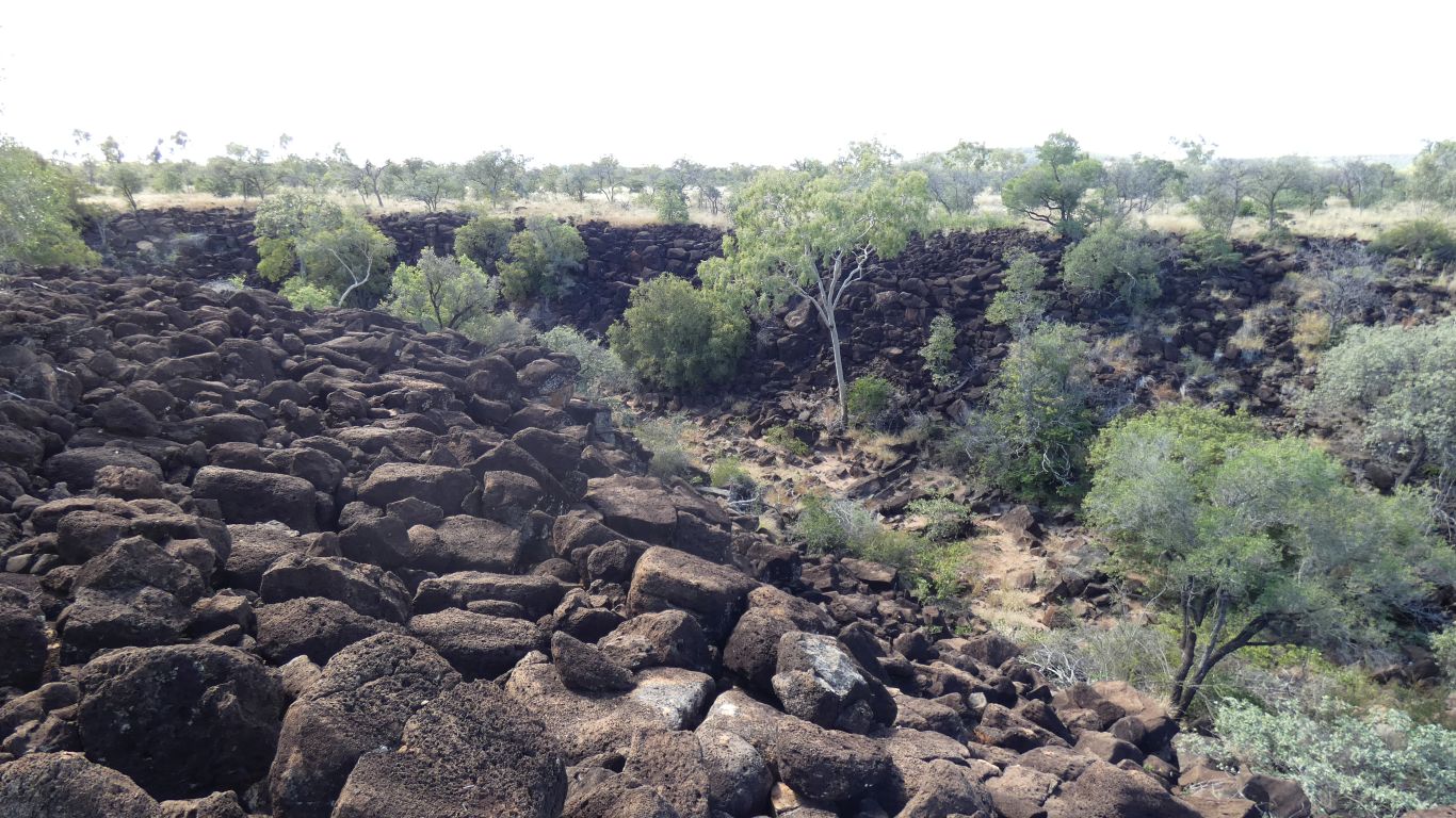
First stop Eaglehawk Gorge on Porcupine Creek. Very much
volcanic looking. Basalt. From Mt Desolation, and after much searching our
maps we discover it, 24km almost due west from the lookout.
-20.4670,144.1993
There are black basalt soils and red in the area. |
| | | |
 |
|
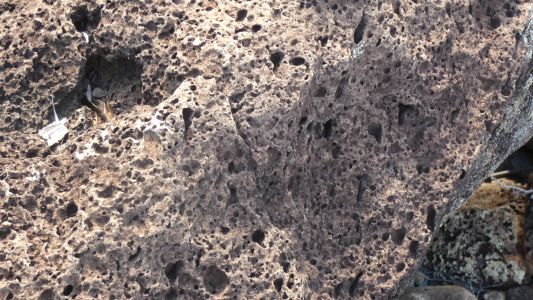
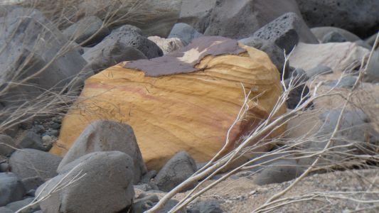
The eroded basalt we saw this morning, that looked like
termite mounds, looked like this. But more red. The different, red and
black, soils support different vegetation. Principally different grasses,
but also red soil is predominantly iron bark and bloodwood, while black soil
supports gidgee and boree. |
| | | |
 |
|
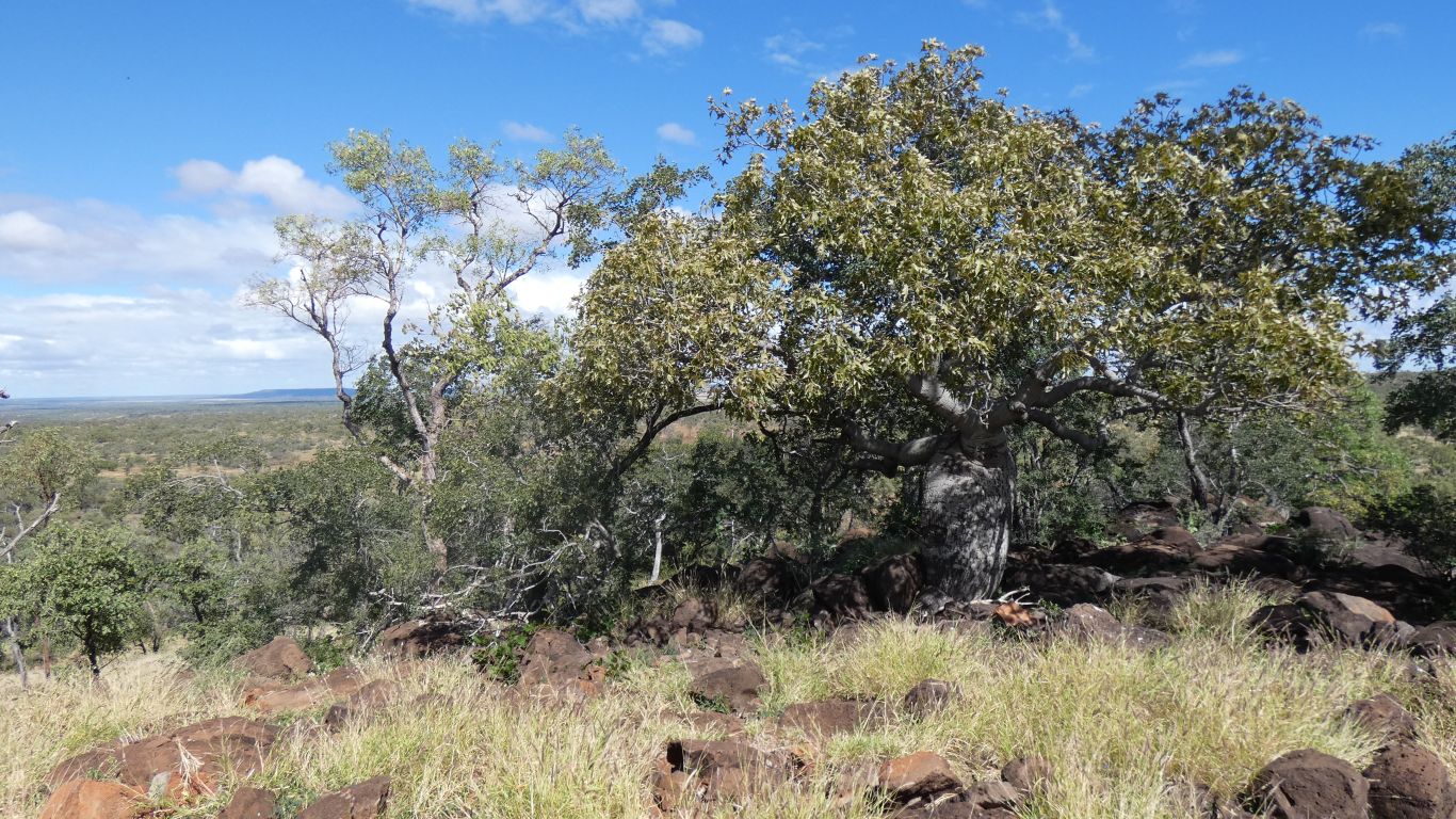
Next stop, Bottle Tree Lookout. That had its very own,
solitary bottle tree. |
| | | |
 |
|
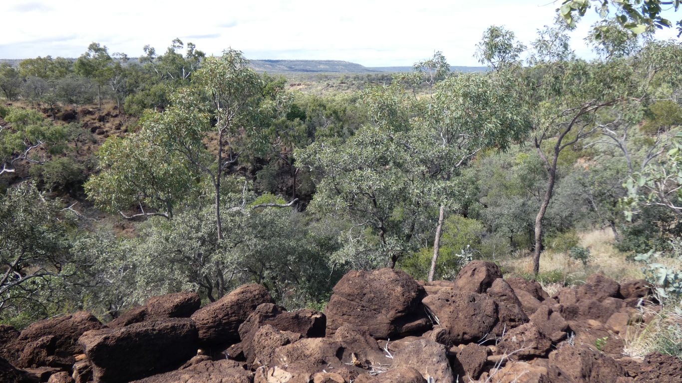
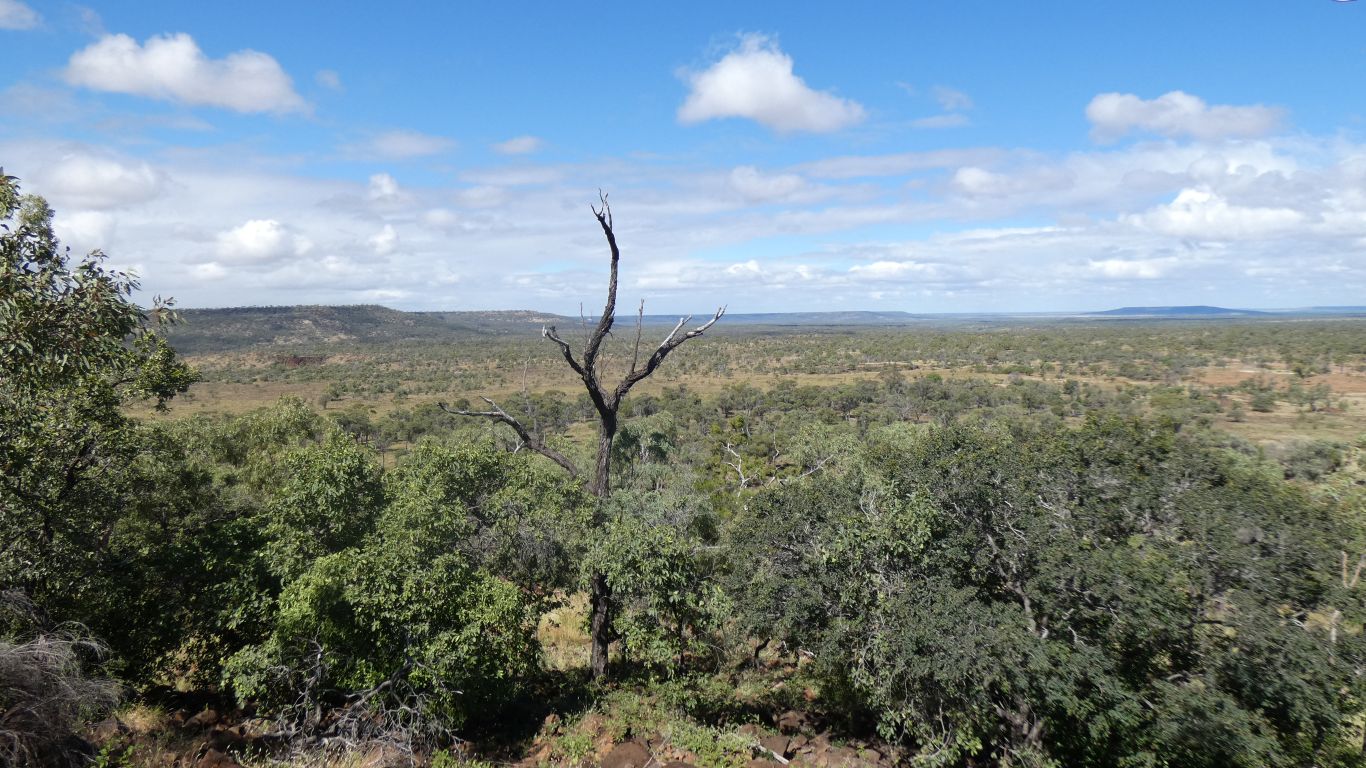
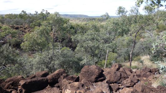
And a view across the hills, and a little bit of gorge. |
| | | |
 |
|
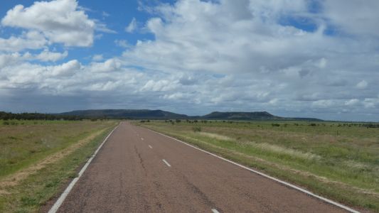
We've driven alongside those hills from Hughenden. White
mountains are only 30k to the east (left). Our campsite last night about
60km. |
| | | |
 |
|
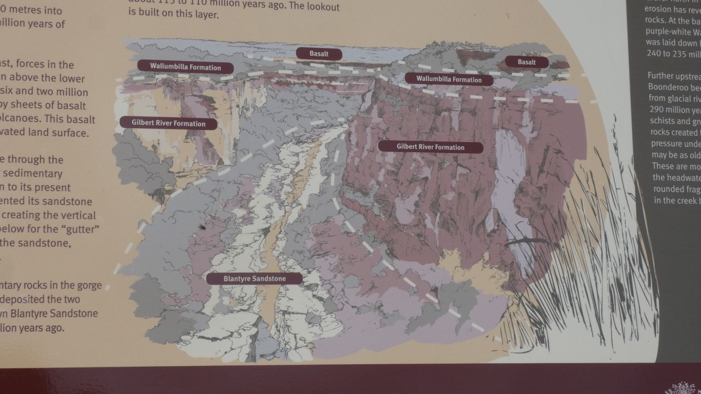
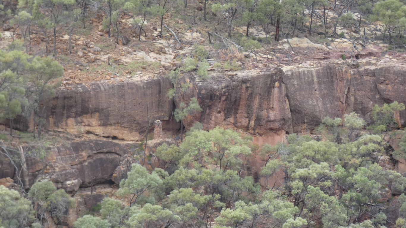
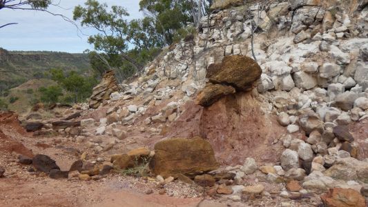
At "The Gorge" lookout there's a sign with a cross section
of the gorge. Varieties of sandstone topped by basalt. The floor is
sandstone. The walls are sandstone with conglomerate and some volcanic
clasts. There's apparently (not on this pic) some coal seams in the walls.
We'll look closely as we descend into the gorge from the campsite. |
| | | |
 |
|
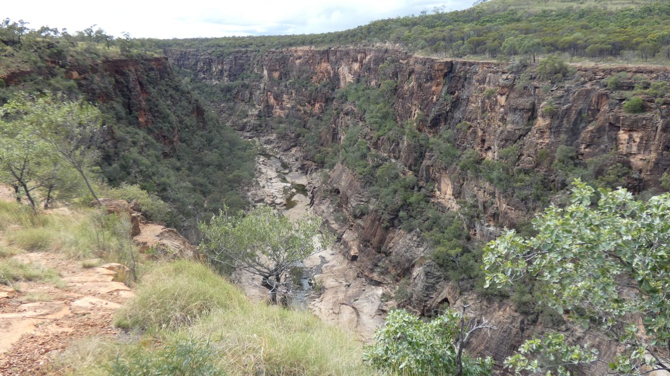
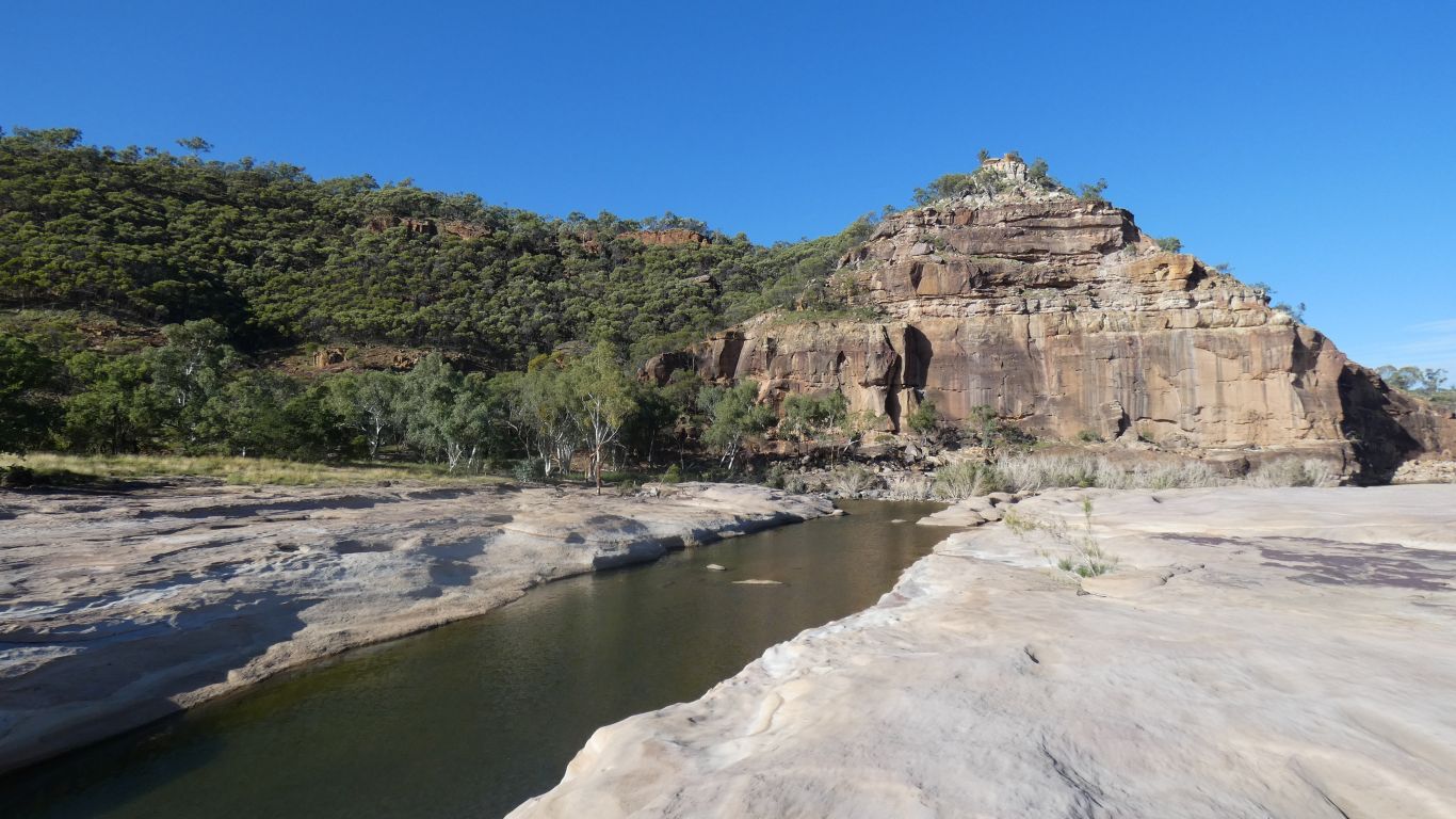
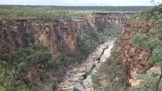
And here it is for real. The white sandstone floor, and
the different sandstone walls, topped by basalt.
Looking north. |
| | | |
 |
|
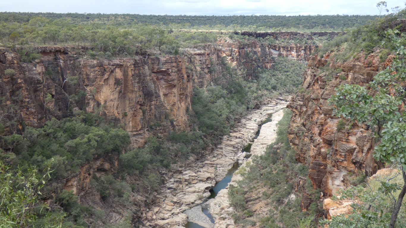
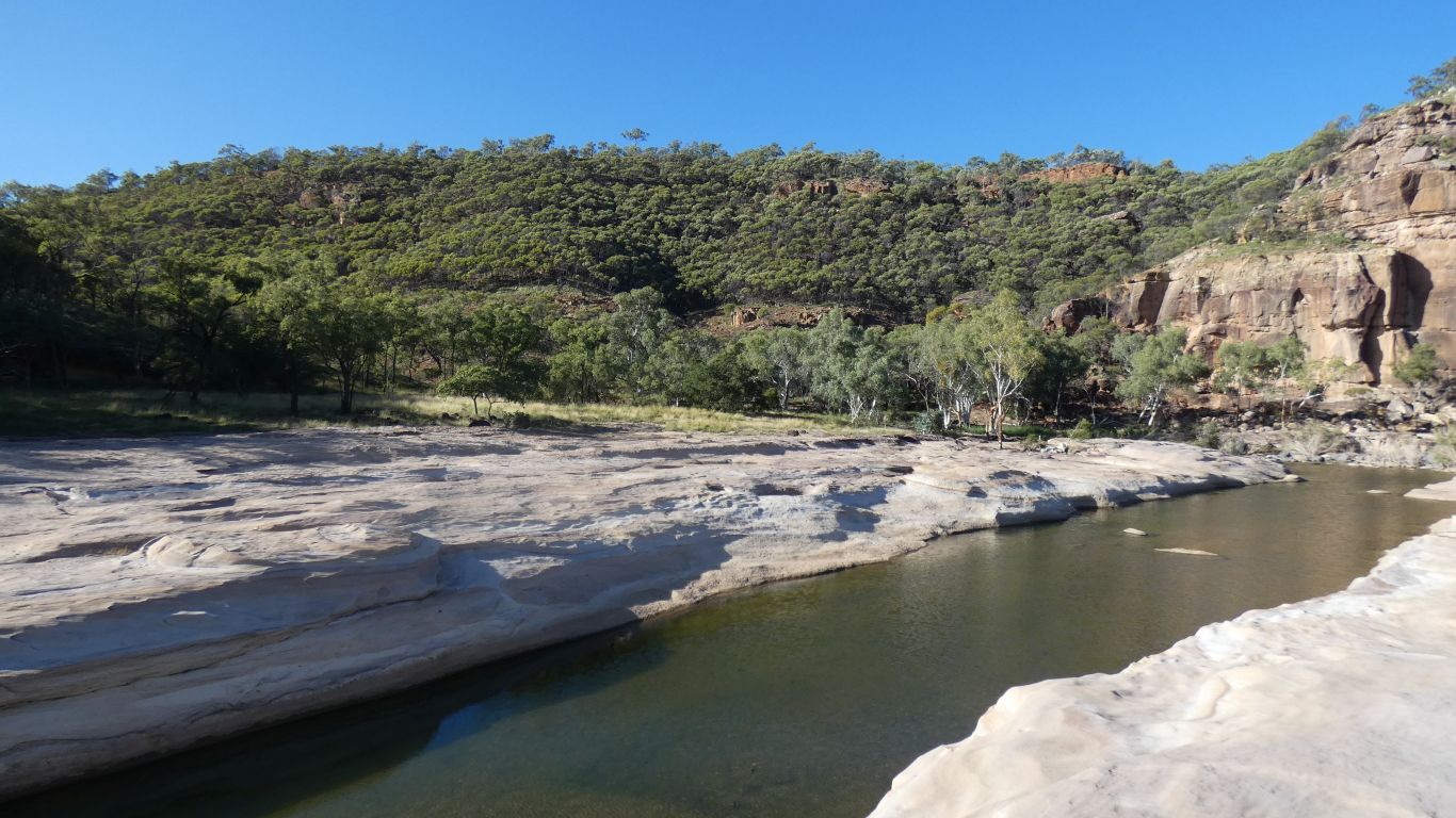
And, more defined, looking south. |
| | | |
 |
|
The national park campsite is Pyramid Campground. We booked using
internet at Sawpit Gully Lookout (White Mountains) this morning. There were
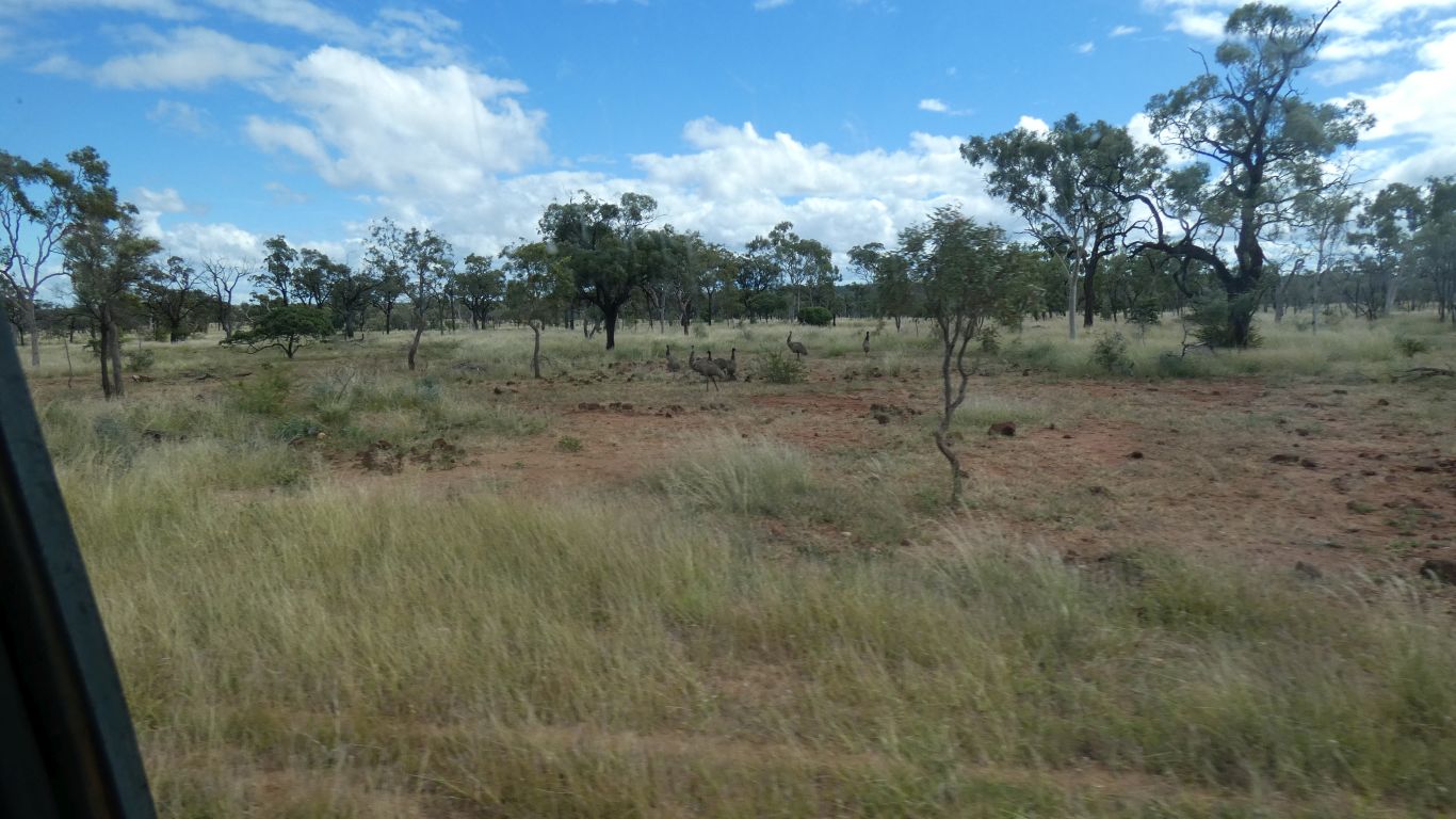
no other bookings. Nice to see Emu on Emu Plains as we approach.
The campsite began to fill shortly after we arrived. We have internet
when we put up the pole with modem atop. People have booked after we did. |
| | | |
 |
|
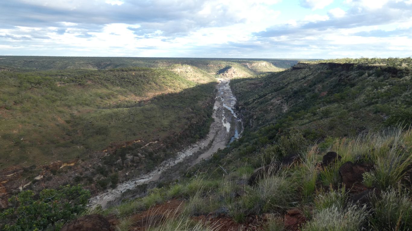
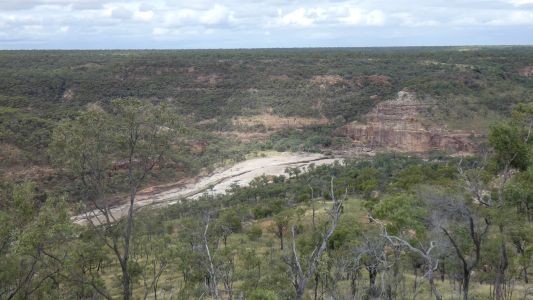
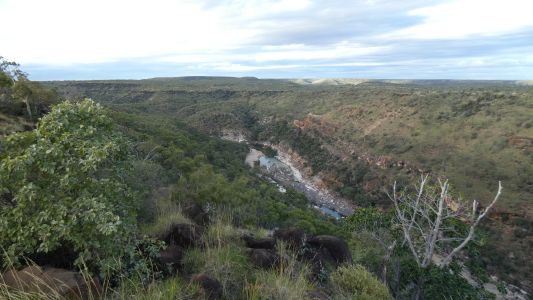
A quick walk to the lookout over the gorge. Pyramid on the
opposite side - hence, Pyramid Lookout. Tomorrow morning we'll take the
track down the side to the bottom of the gorge. Apparently the swimming is
good in the pool below the pyramid.
I suppose its as much a pyramid as Mitre Peak (Milford Sound, NZ) is a
mitre.
|
| | | |
 |
|
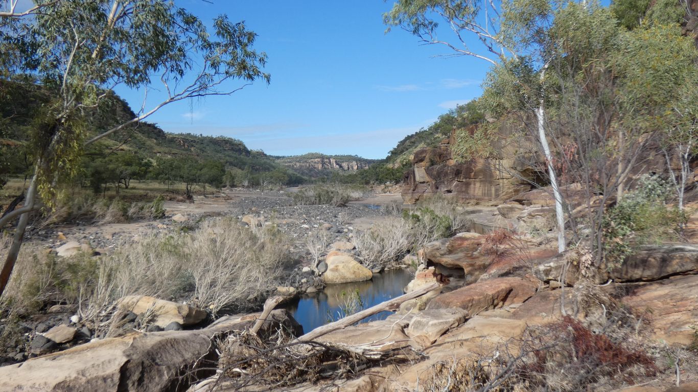
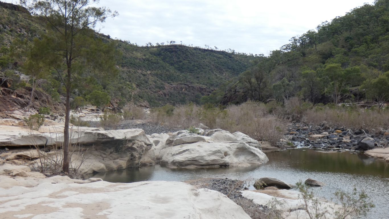
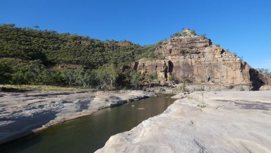
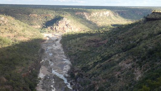
Next day, a walk down into the gorge. Its only 120m.
Vertically. About 1.2km along the track. Then add a bit of strolling up and
down the gorge, we walk 6.6km. The pyramid from next to the creek, that
has flowing water and fish. |
| | | |
 |
|
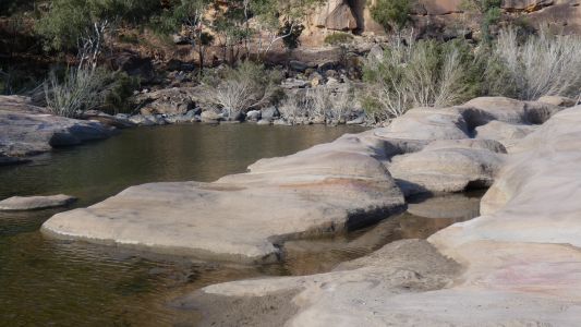
The white sandstone in the bottom of the gorge is fine
grained. And colourful. |
| | | |
 |
|
Eroded by the creek. |
| | | |
 |
|
Oops. This doesn't belong. |
| | | |
 |
|
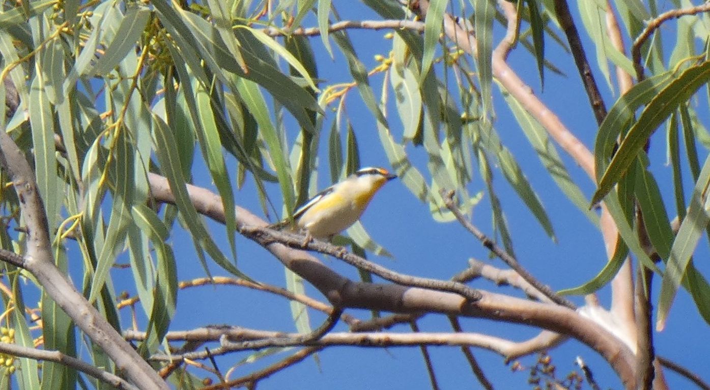
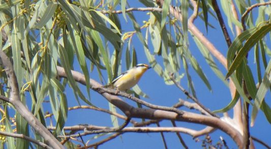
Where's the bird book? The birds can be heard, but are very
elusive. To be honest, the bird book is sometimes of limited use. But we
think this may be a pardalote. There are many types, we are at the wrong
angle to distinguish between them.
Apparently the calls are different. |
| | | |
 |
|
We walked about a km downstream. Crossed the creek to avoid
being bluffed. |
| | | |
 |
|
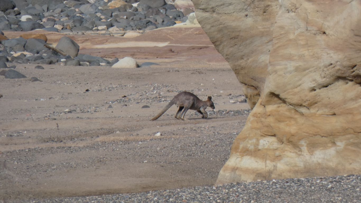
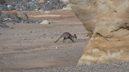
Leaving the wallaby to its side of the creek. Very shy, it
hopped away, further downstream. |
| | | |
 |
|
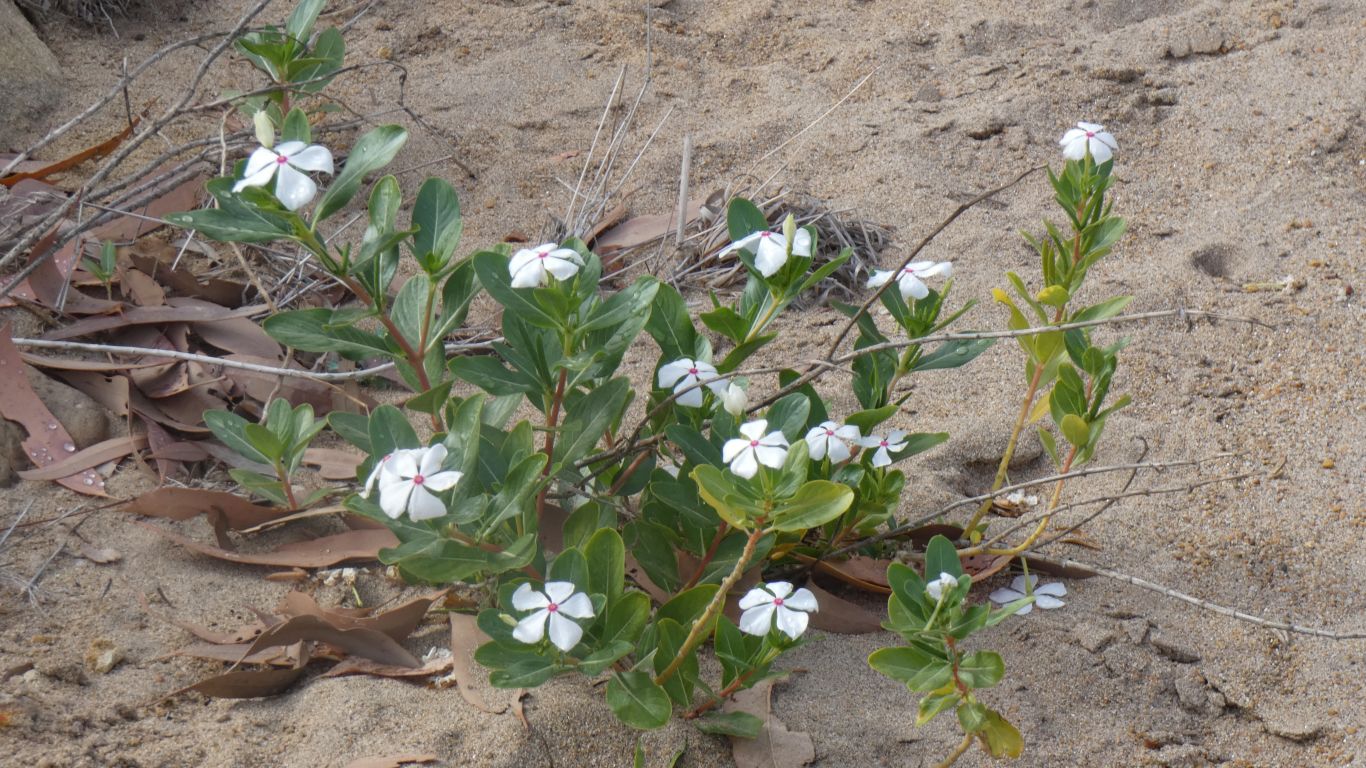
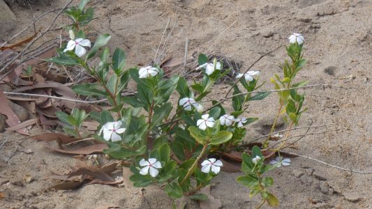
We think we have some of this in our garden. We don't know
if it belongs here. |
| | | |
 |
|
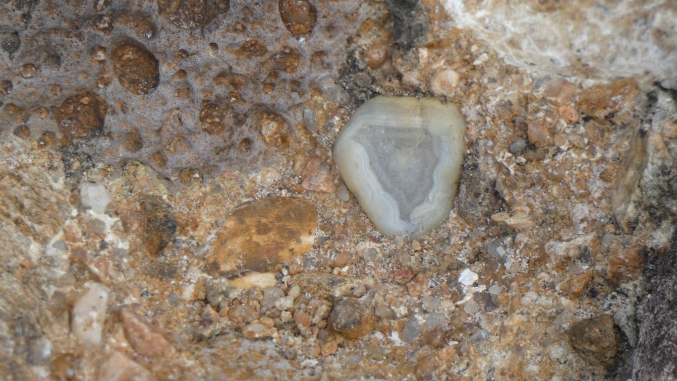
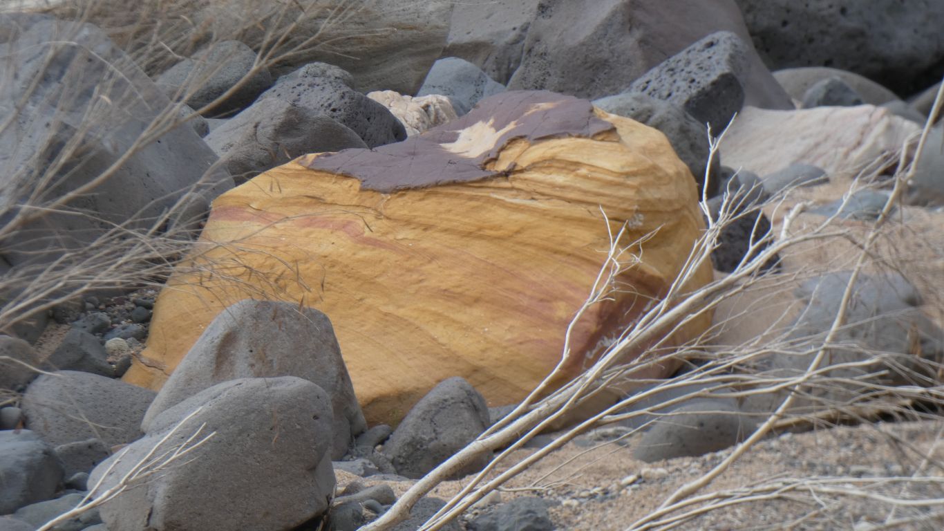
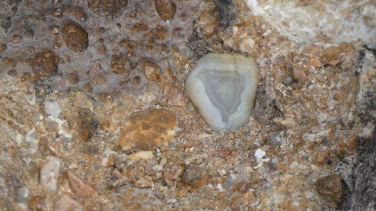
In parts the creek has left deposits of various size stones
which have fine sand added and reformed conglomerate. This small piece of
agate couldn't be extracted. |
| | | |
 |
|
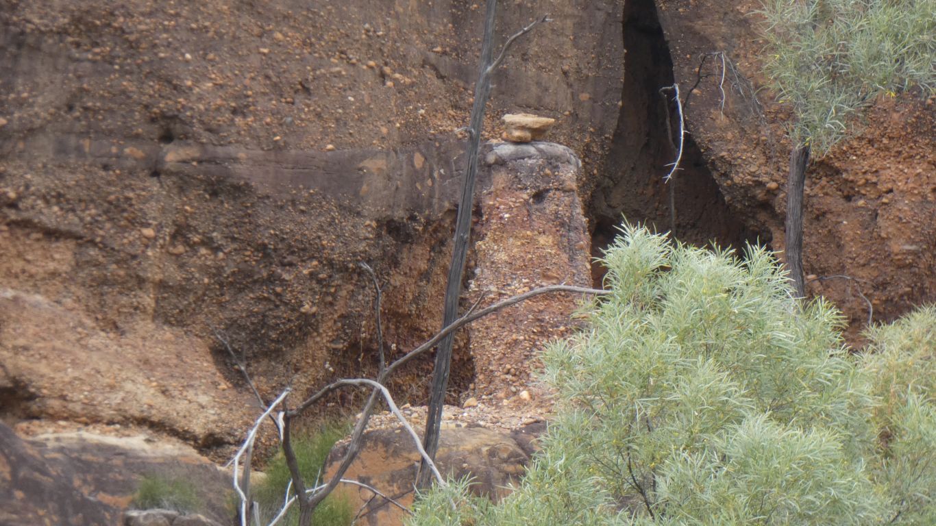
This pillar attracted our attention. Directly opposite
where the track reaches the bottom of the gorge. About 1/3 up the face. A
half heated attempt to reach it was unsuccessful. Decided it was natural,
conglomerate that had eroded, the pillar protected by a big stone on top.
The little stones may or may not belong. The layer of rock around it was
coarse conglomerate. |
| | | |
 |
|
Getting down from the investigation was not as easy as up.
I followed a ledge up stream. Past a couple of small caves. Then an easy
bush bash down to the creek. |
| | | |
 |
|
The patterns in the rock never cease to amaze us. |
| | | |
 |
|
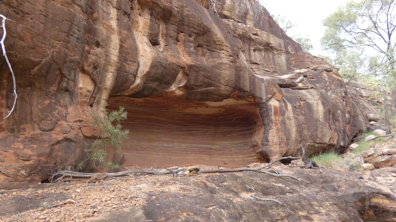
Upstream. We decided we were tired. Time for lunch, after
the climb up the track. We haven't seen any evidence of thin coal seams
which are reputedly in the walls of the gorge, they must be somewhere else
in the gorge's 100km length. |
| | | |
 |
|
Would this make good ochre? |
| | | |
 |
|
That pillar again, from partway up the track. It still
looks natural. |
| | | |
 |
|
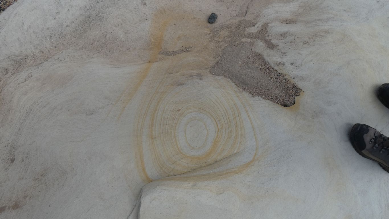
Presumably a bit like this bit of erosion. Lunch is good,
enough sun through the clouds to feed the solar, bread making this
afternoon. |
| | | |
 |
|
Lunch and a lazy afternoon. Just the right temperature and
a few caravans/motor homes with interesting people. And an afternoon 3km
to "the rim" and back. The track leaves from behind tent site 12. Occupied
by some people in a Britz camper who were suitably bemused.
Looking north from the lookout. We guess there's a bush bash down and
walk south to the track into the gorge we took this morning. Oh well. A bit
late in the day. |
| | | |
 |
|
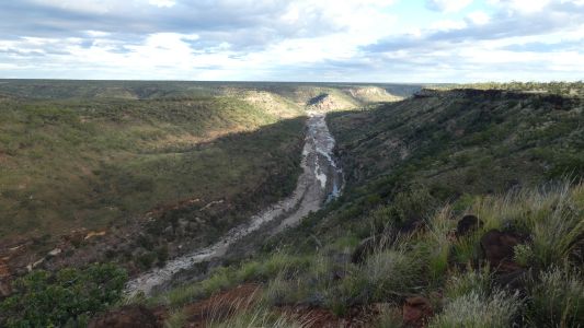
Looking south, to the pyramid. |
| | | |
 |
|
And a bit more zoomed out. |
| | | |
 |
|
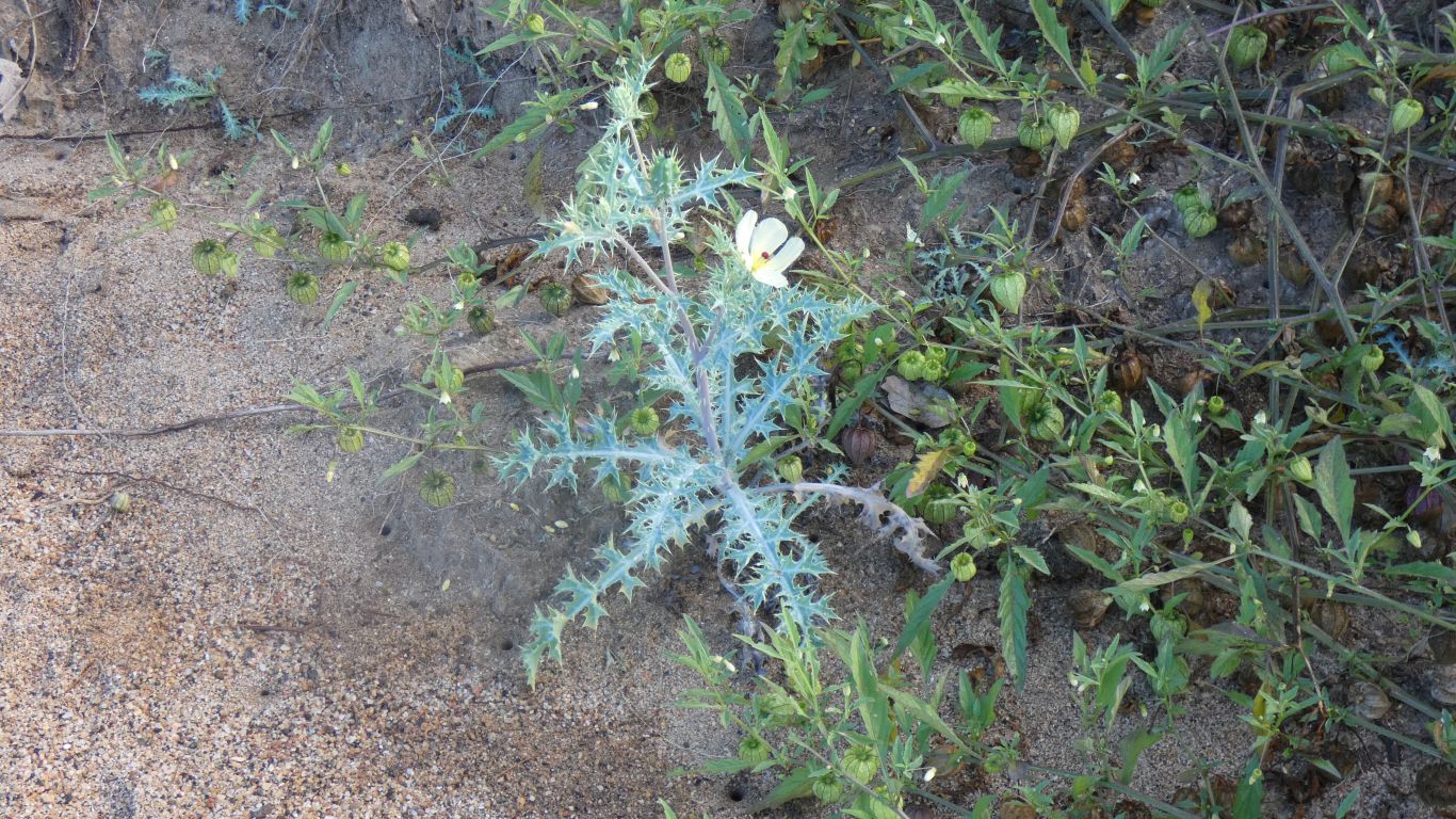
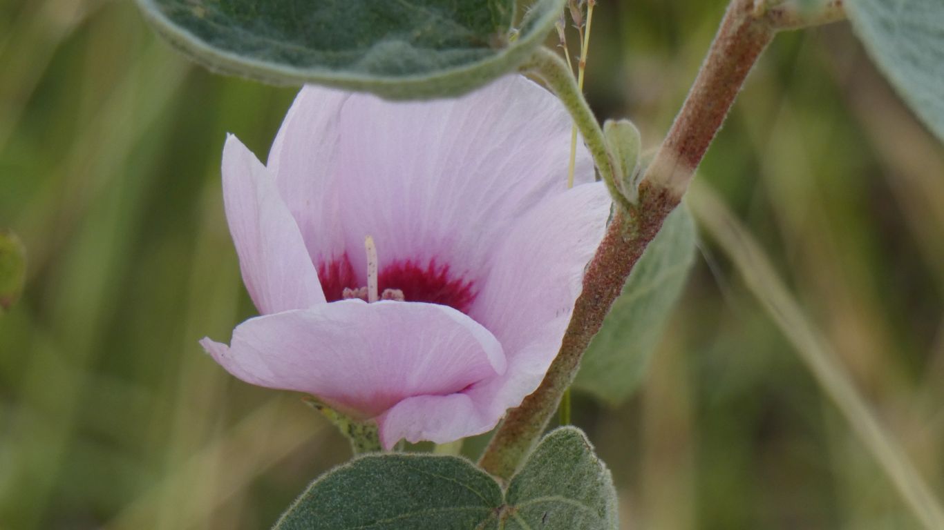
Just a few flowers around, among all the knee high grass.
Another "we don't know if this belongs" plant. |
| | | |
| Undara National Park |
|
May 27 - 28 2019 |
| | | |