So called, apparently, the island that is, not the morning, because, in days long past, Victorians, of the southern state ilk, used to spend their winter camped here, growing ......... you guessed ......... tomatoes,
and fishing.
I think I'll wait for the sequel to the story. I haven't seen any self sown wild tomatoes. Yet.
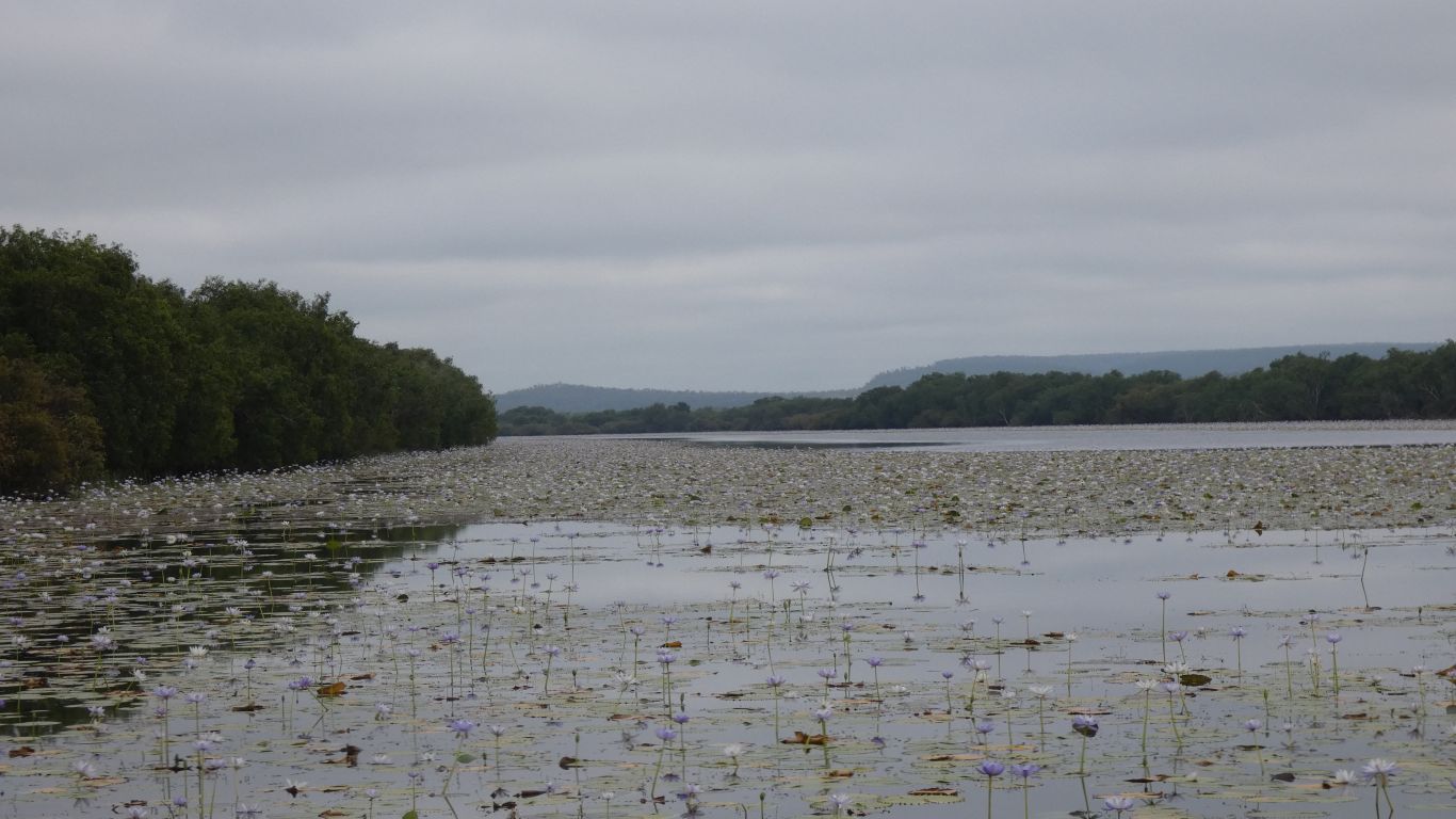
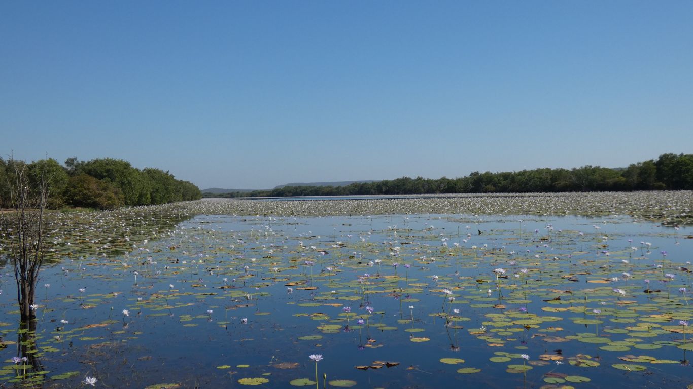
We stop at Lomarieum Lagoon. On a tributary of the Roper River. No camping.
We were joined by a well traveled couple from Townsville for a chat.
Memories of camping here before the national park became a national park.
I wonder at the balance between current and future, between parks and people as the pool of accessible open space diminishes, and the impact of an unsustainable human population level on the planet is increasingly felt.
A bit serendipitous, we seem to be chatting to more, and different, people than usual on this trip. Perhaps the virus has changed who is traveling where. Including us.
On the old maps, the track beside the lagoon extends eastwards, almost to the mouth of the Roper River, an airstrip, and an abandoned aquafarm.
As we head south, about 18km on, there is a road (rather than track) which ends at Port Roper. The only road in that direction on the large scale summarised maps.
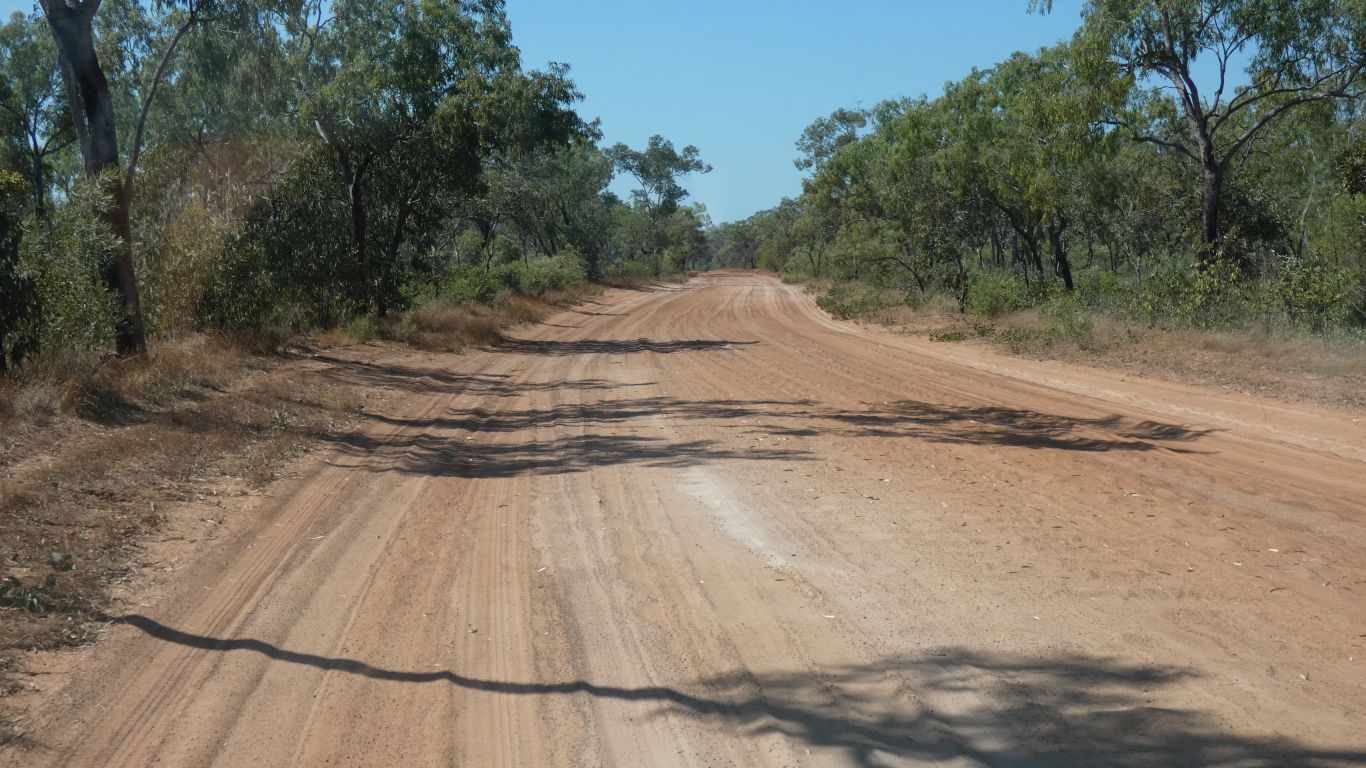
We are traveling less than 100km today. By choice.

Geography of the area is not our strong suit, but we think we are a bit more than a hop skip and jump from desert. The only desert (of any of the ten that individually cover more than 0.1% of the land area of Aus) in Northern Territory is the Tanami Desert. Which is more central than west, and would be quite a long way, a long day's drive for us, to the south. The western deserts are ...... more to the west and south.
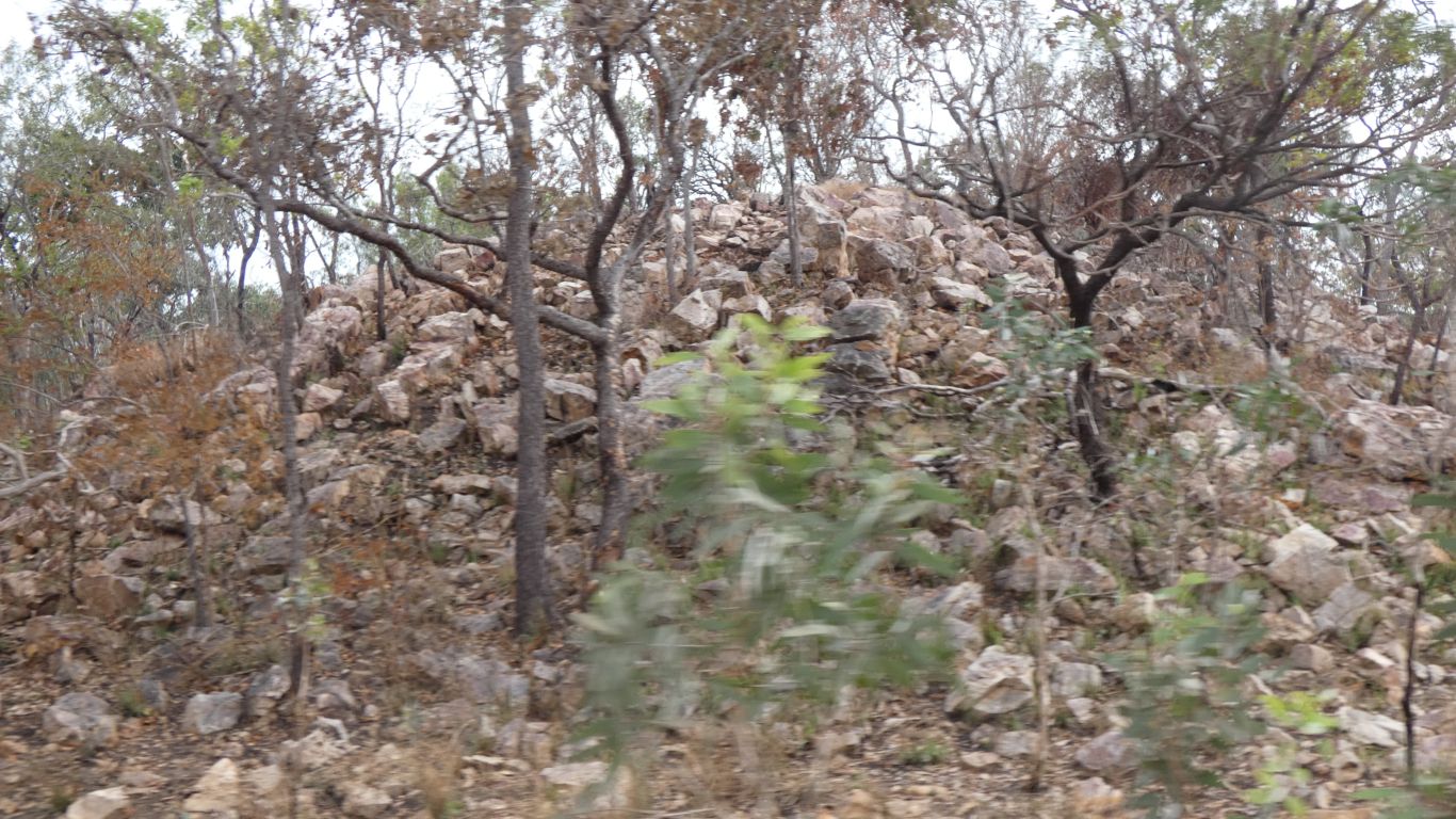
On close examination its a haul road for Western Desert Resources.
Hard to know what's being mined and how actively. We hope we don't meet an ore carrying road train. There are no warning signs about such.
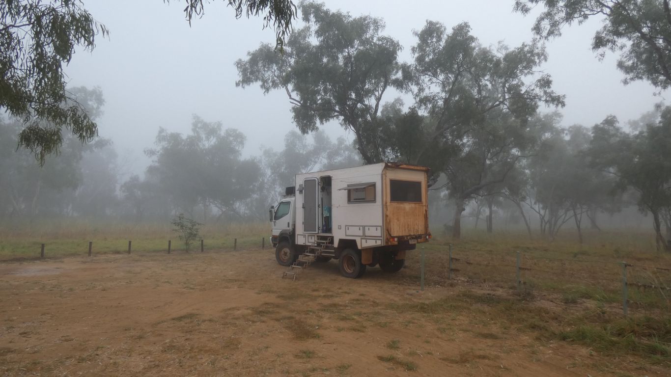
Its more than a week since we walked anywhere significant (Keep River). The longest walk here is back to the campground entrance to the "put your money in the envelope thingy", next to the loo. The rocky area and surrounds are surprisingly clean and tidy.
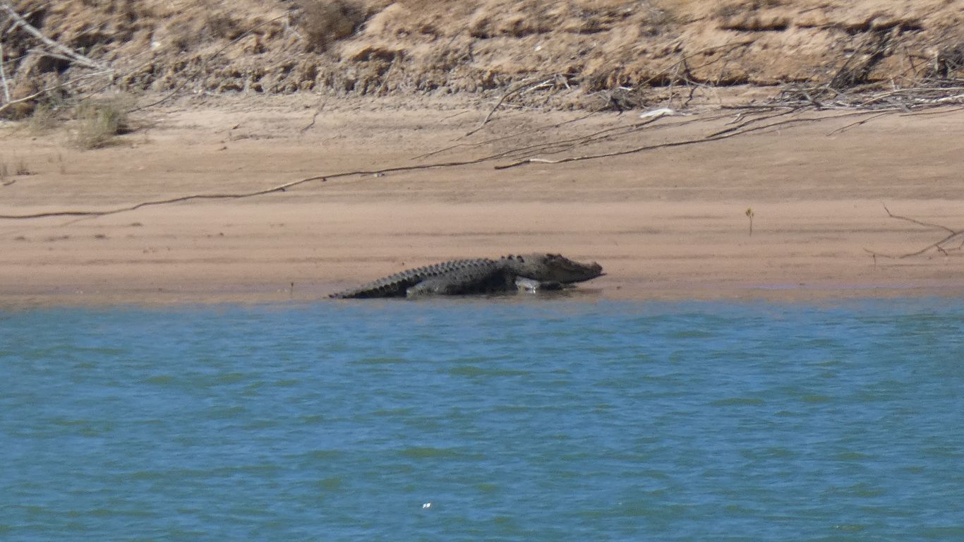
Some folk fishing but not catching anything. Few birds. No visible crocs. We watched the sun go down.
At this time of year water is cooling down, the fish (or at least the barramundi) bite less.
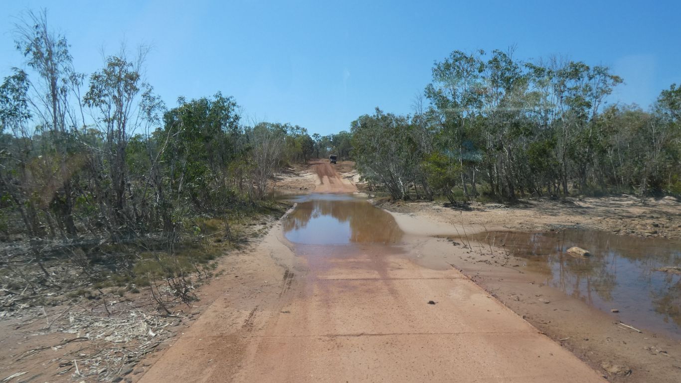
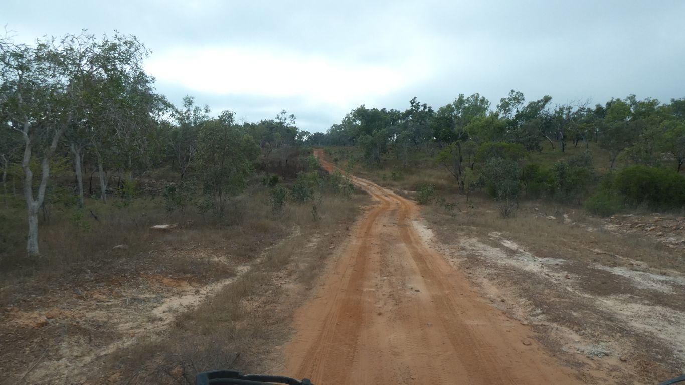
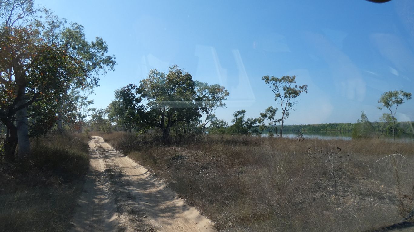
We set off for the 90km drive south to the illustrously named Limmen Bight River Fishing Camp. Just outside the national park.
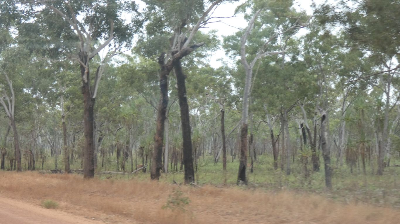
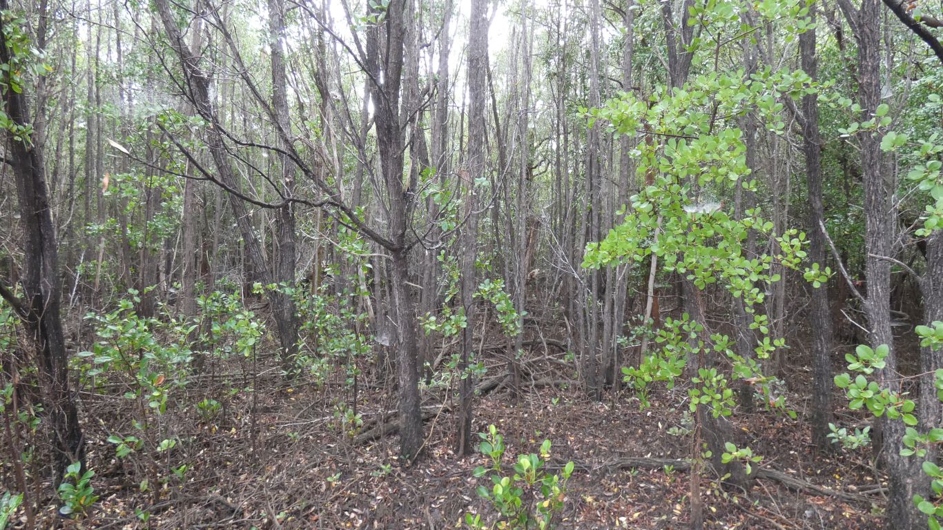
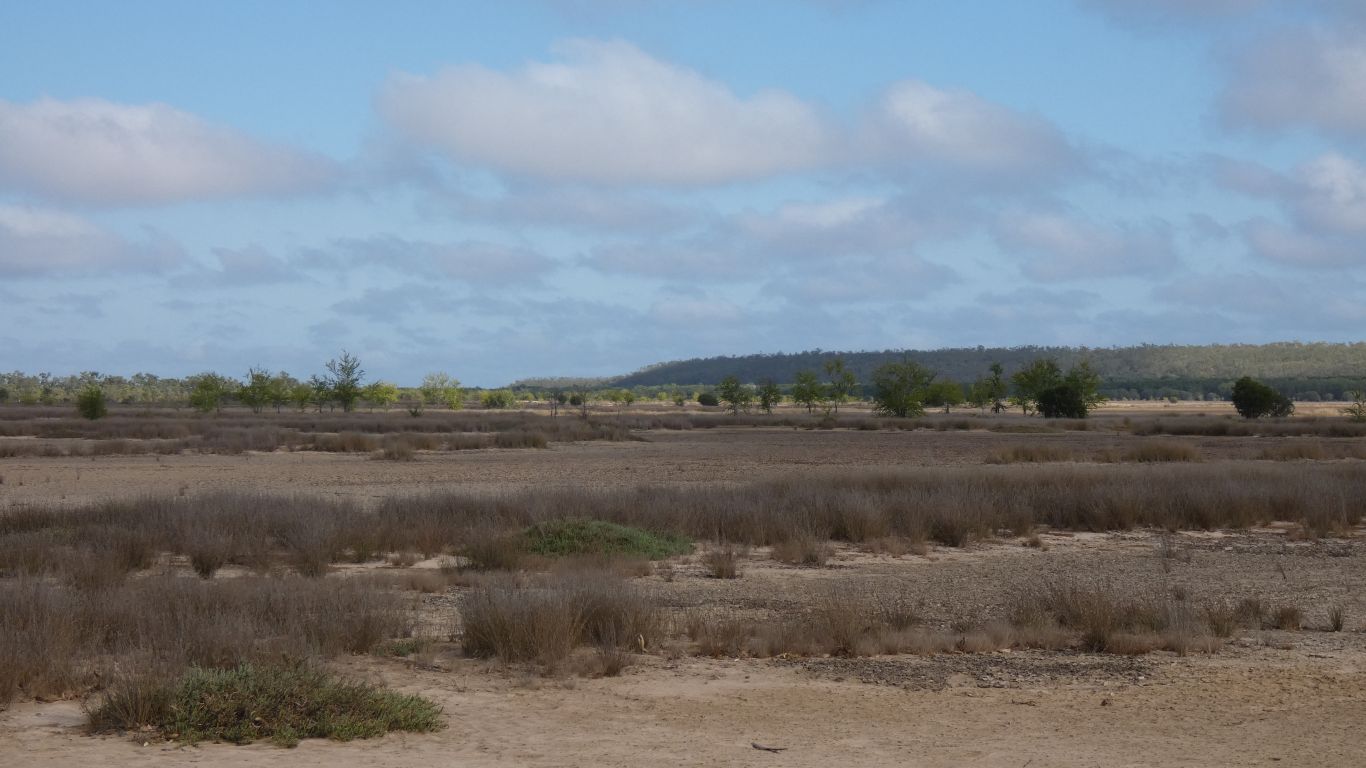
Mostly flat plain with a variety of trees and occasional dips for dry creeks.
Strangely, these trees and lack of undergrowth reminded us of forest along the Murray.
Probably very different vegetation, but the idea of flood plain is common.
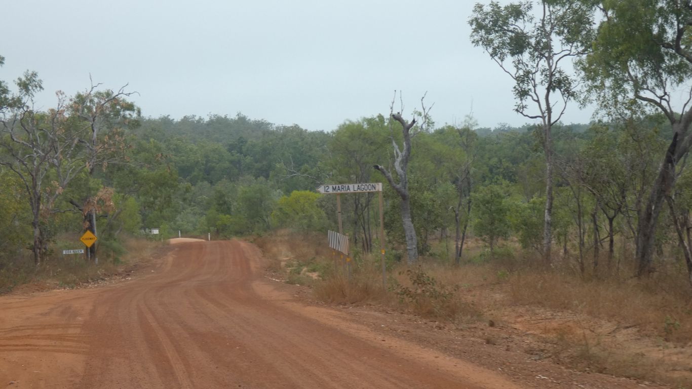
We turn east at the Maria Lagoon (Aboriginal Community) signpost for the last 21km to the fishing camp.
We'll stop on the way out to look more closely.
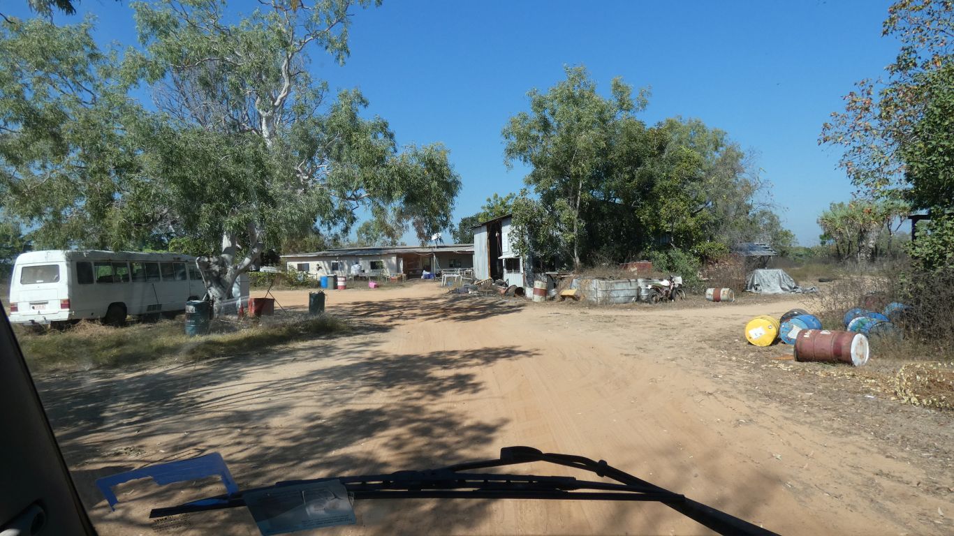
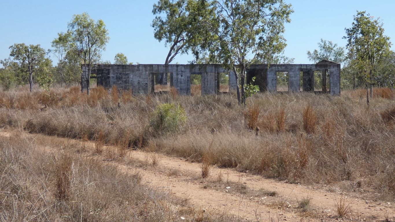
We know this because we stopped at the first building, a Ranger station, and Lizzie, a long term camper, took it upon herself to explain the area, while also asking what was in the news.
We really couldn't decide on how many days. Fill out a registration, so we know when we arrived, and pay on the way out.
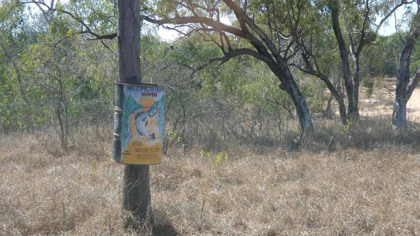
For example, at Tomato Island the camp host appeared rapidly as we stopped at the entrance, seemingly to ensure we paid but also to tell us about happy hour and the washing machine. Here we had to find the host and there's a few painted drums, with positive messages, tied to trees.
The difference is subtle.
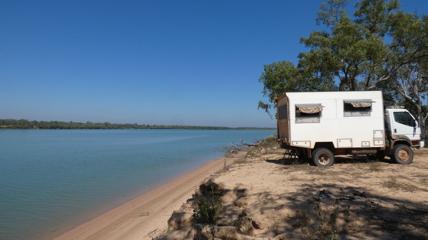
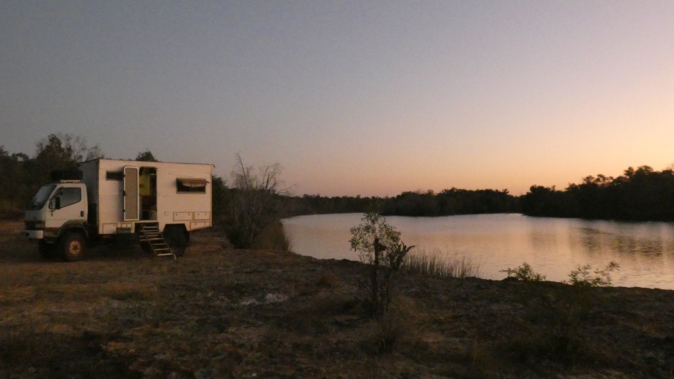
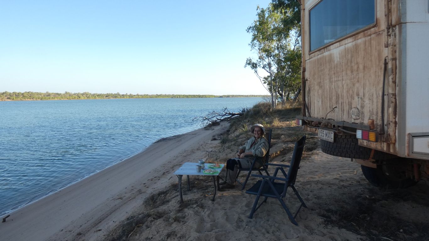
About 6km on sandy track past the house. Our neighbour is about 100m away, either side.
Location, location, location. Memories of 5-mile beach.
We feel comfortable.
Unlike last night, at Towns River, its unlikely anyone will arrive late and squeeze in next to us.
Last night I planted a piece of wood behind a wheel lest we roll into the water. Today I dug a couple of small holes for the rear wheels. More or less level, I won't fall out of bed.
The tide is on the way out. Perhaps I'll catch a fish.
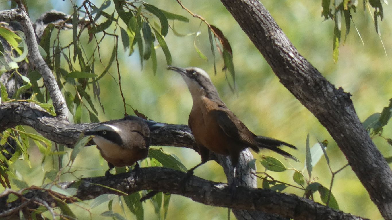
Noisy. Babbling almost.
Behaved like a pair.
And since people here are mostly fishers we probably won't know until we see the bird book. And perhaps not even then. Though there are no rules that suggest people who fish are not also people who watch birds.
This one didn't stay long.
In the meantime, a couple (of people, not crocodiles!!!) in a passing boat dropped in with a fish for us. They had seen us arrive. We ate it with the help of a lemon given to us in Keep NP by someone discarding fruit before entering WA.
We like this place.
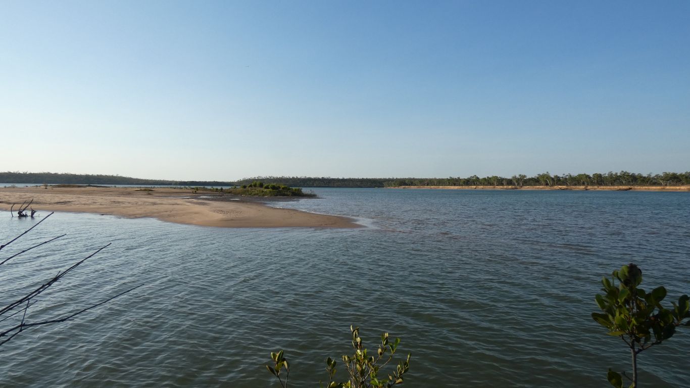
We set off northwards, along the edge of the river.
The river generally flows south west to north east. We are on the inside of a bend that turns north, followed by another, wider, bend. A creek enters. More a sort of marshy area. On our side. We know from conversation there's a bit of a sand bar. We guess there are mangroves.
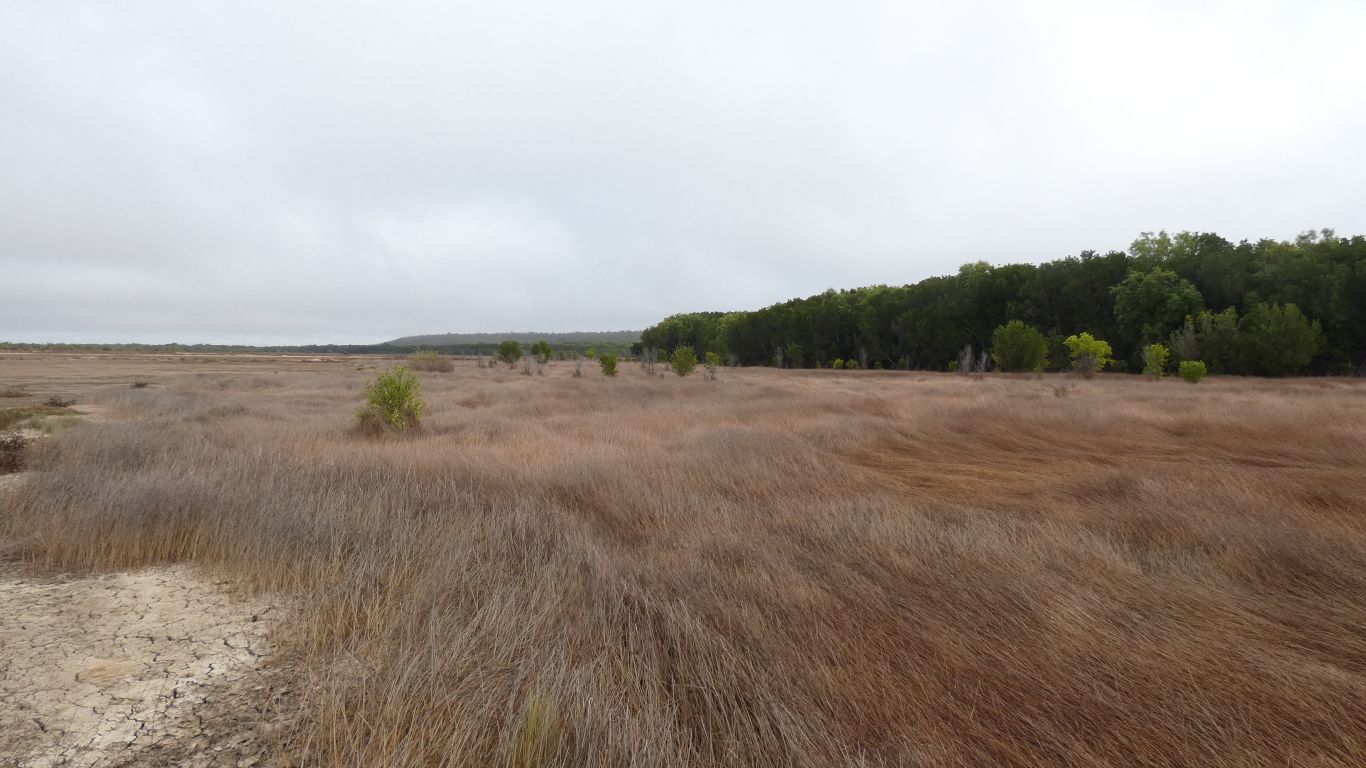
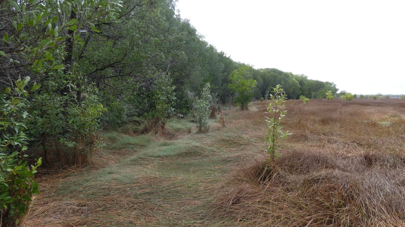
We will be able to walk about a km north along the bank.
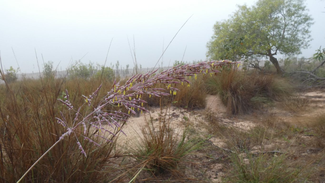
A couple of excursions inland. One day we'll be able to distinguish one grass from another. But don't hold your breath.
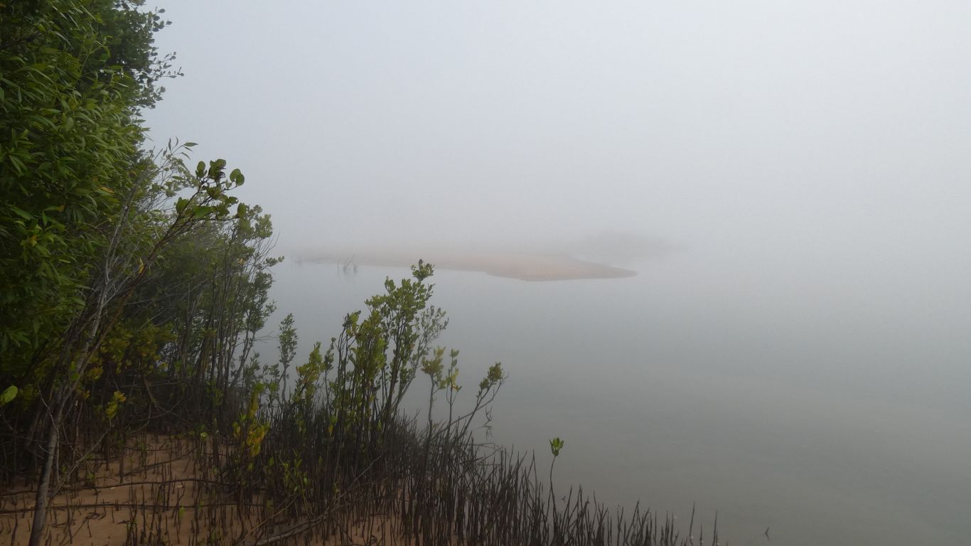
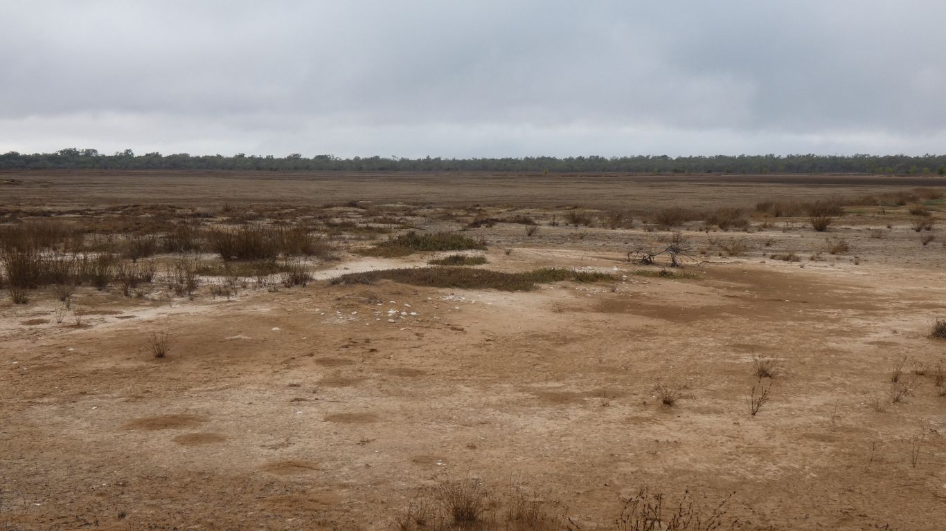
This is the sand bar.
A plover the only indication there may be mud flats.
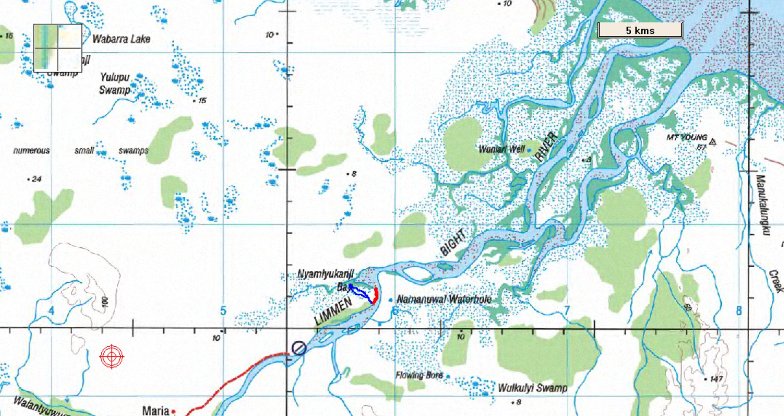
The short red line in the middle is where we walked. The south end our camp spot. The north end the corner where mangroves stop us. The end of the dashed line at bottom left the camp entrance, 6km away.
Not much chance of seeing round the corner into the bay unless there is a really low tide. Given the phase of the moon we may not see it.
Also on the map is the blue line, north west from camp. Next day we tried walking up the creek a bit. Perhaps we didn't walk far enough, but still impenetrable.
We need a boat!
Though we are told we will catch fish from the shore below our camp .....
Local knowledge.
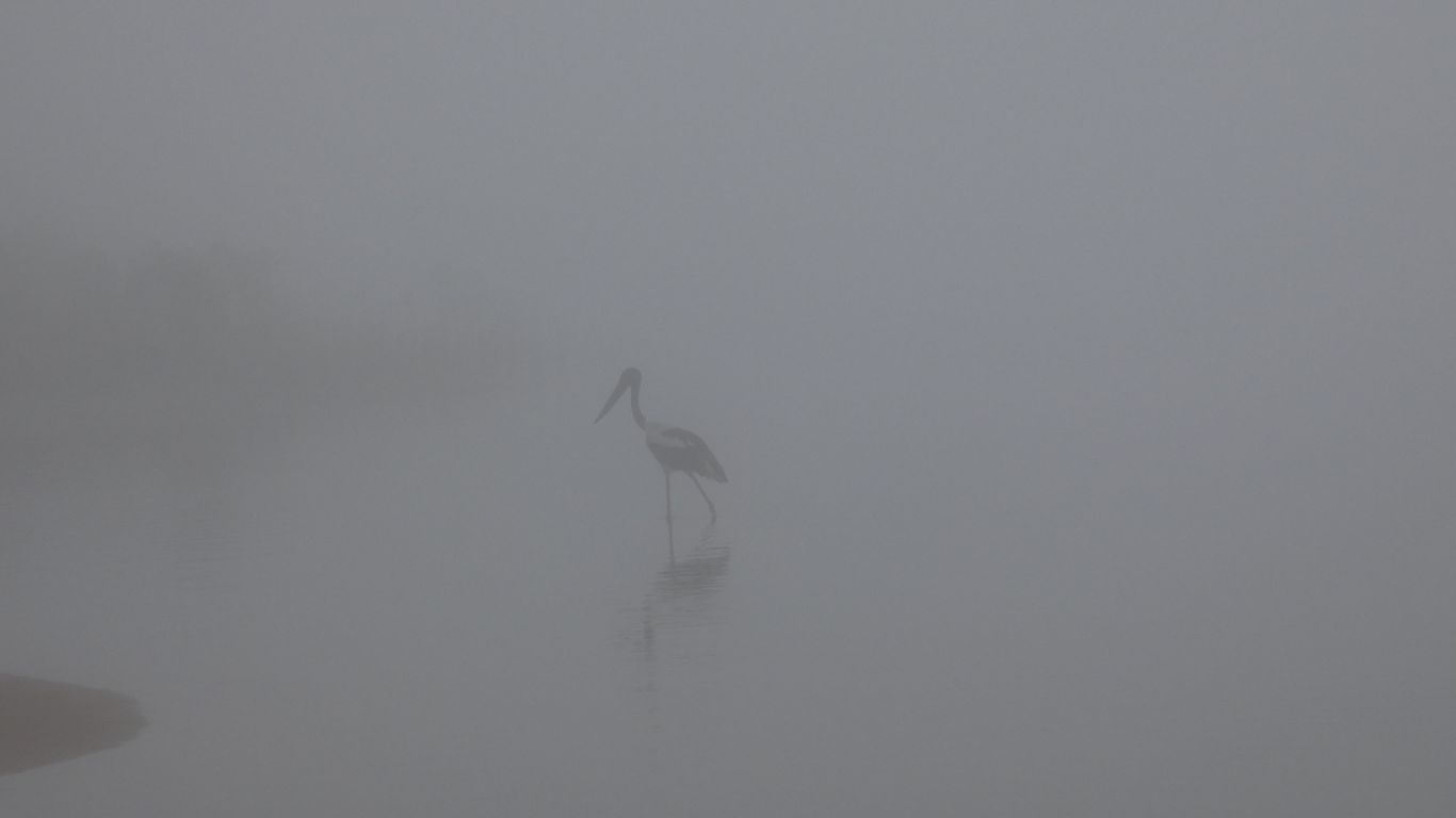
A jabiru joins us for a few minutes then flies off into the mist.
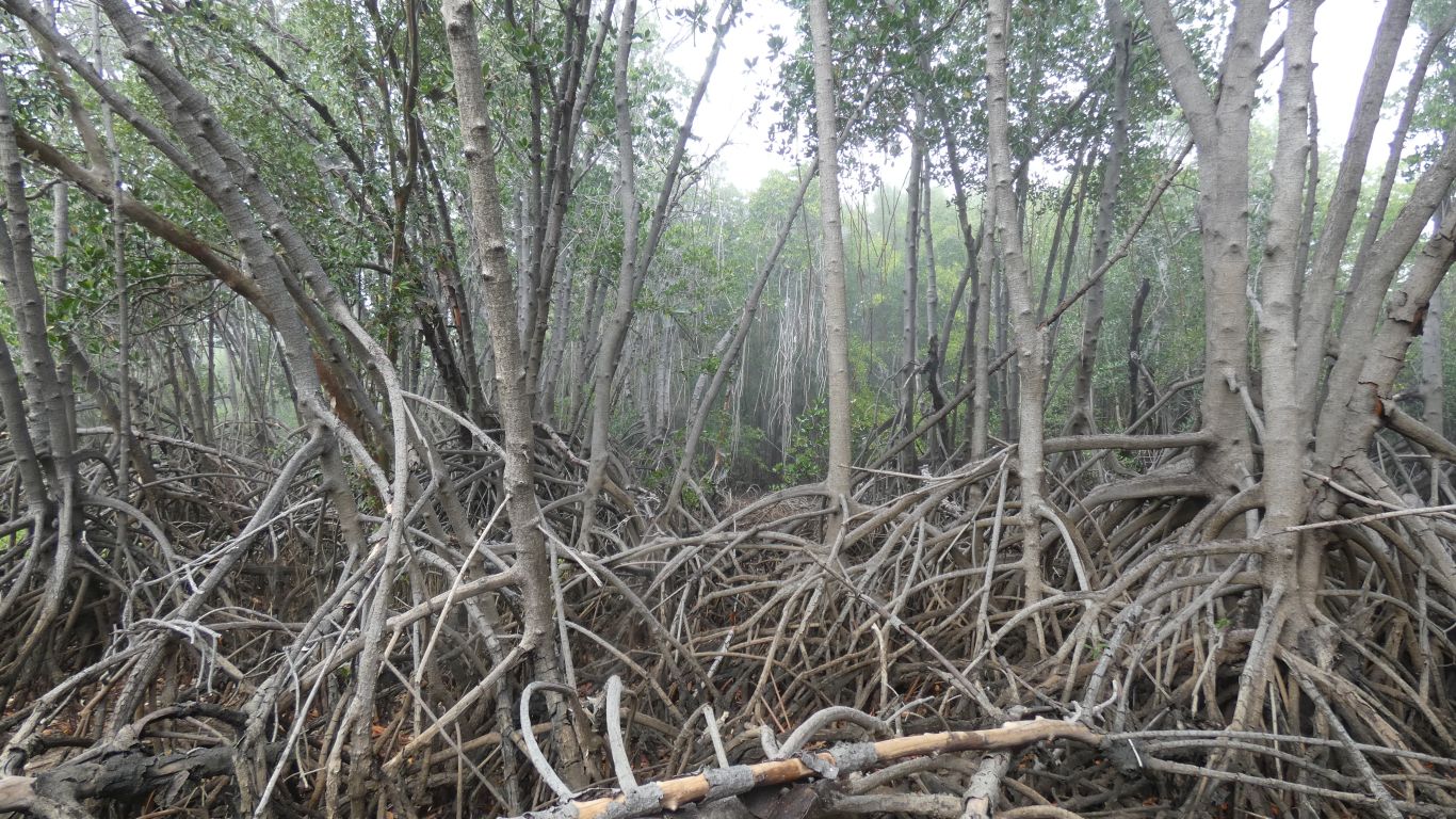
When there aren't mangroves the bush at the edge of, and in, the creek bed, the swampy looking bit on the map, is dense.
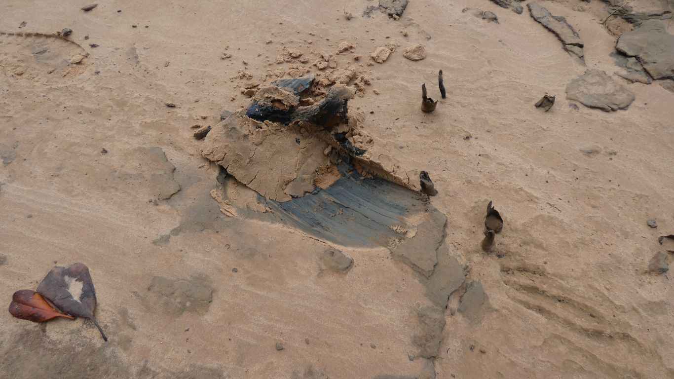
Sometimes, under the sand, is a thick, clay, mud. Slippy.
We haven't seen any signs of shellfish or small crabs in the intertidal zone near our camp. Which in turn means none of those wonderful birds with long beaks that eat them. We know there are edible crabs further out in the river.
On the way back we stop for a chat with the couple at the end of the vehicle track. "Two doors down" from us. We discover the artist who created the painted barrels. They really do make a difference to the drive in. With photos of "art classes" for local children.
We also learn of a round, about 75mm diameter, edible bi-valve shellfish with foot for browsing. Small scallop size, but doesn't swim. We forget the aboriginal name. Lives in mud (so, yes there is mud round the corner) as it needs leaving in clean water for a few days to purge the muddy taste. Really need a boat, and local knowledge, for that one.
We are progressively meeting people who have been coming here for between 10 and 30 years.
Again.
More barra. We are the grateful beneficiaries of catch limits, full freezers, and a welcoming community of fisher folk.
The legs of our table broke near Daly River. I cut four posts, hammered them into the sand, and secured the table top.
I'll leave the legs for the next camper.
Our knives were sharp enough for filleting.
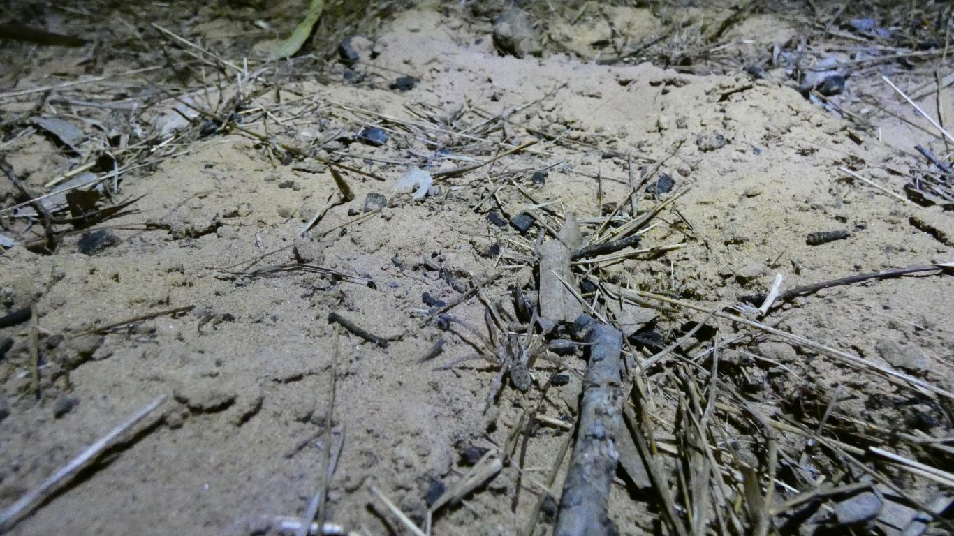
While filleting by headlight I noticed the reflections from spiders eyes. Just like we saw in the Simpson. Though eyes not as large. A different brand of spider.
I didn't find their holes.
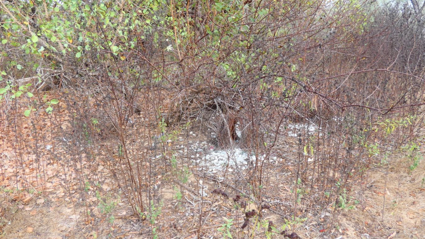
I'd noticed a bower. On close examination four bowers close together. All aligned in the same direction.
One looked better developed than the rest, but all looked serviceable. Given their function we are a bit surprised they are so close. We haven't found others.
We've seen a few great bower birds nearby.
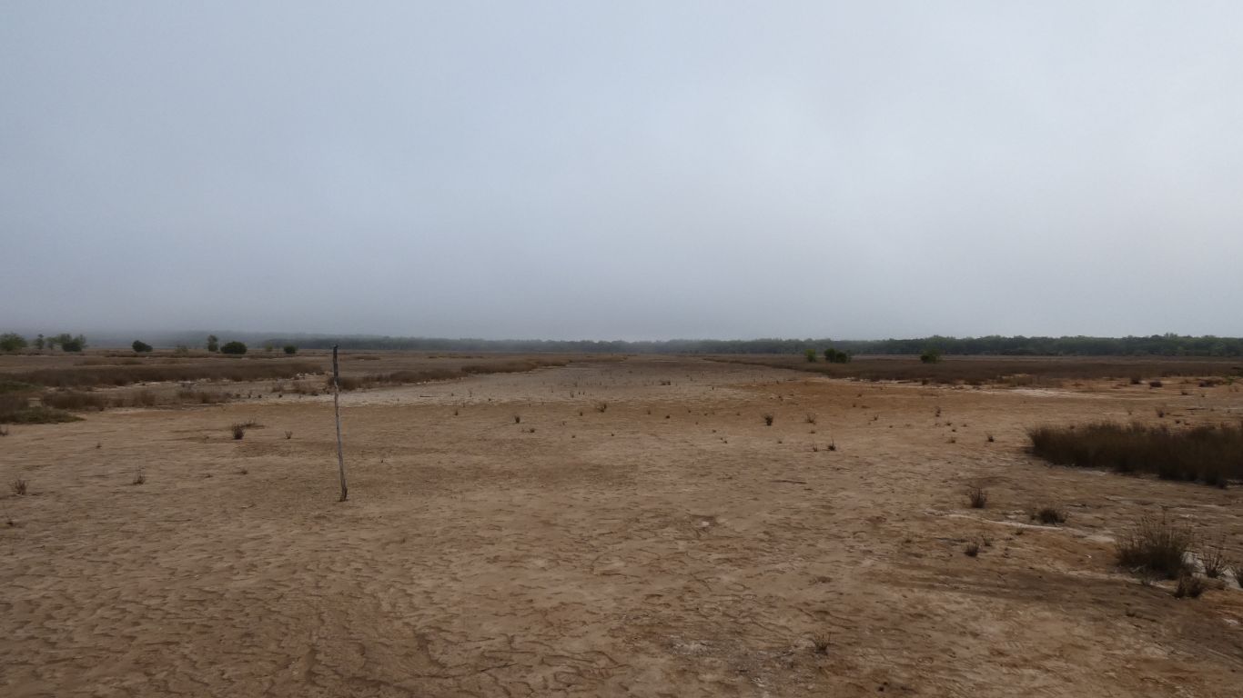
The stick looks like a marker a quad bike rider added to the landscape. As if the wheel marks aren't sufficient to find the way home.
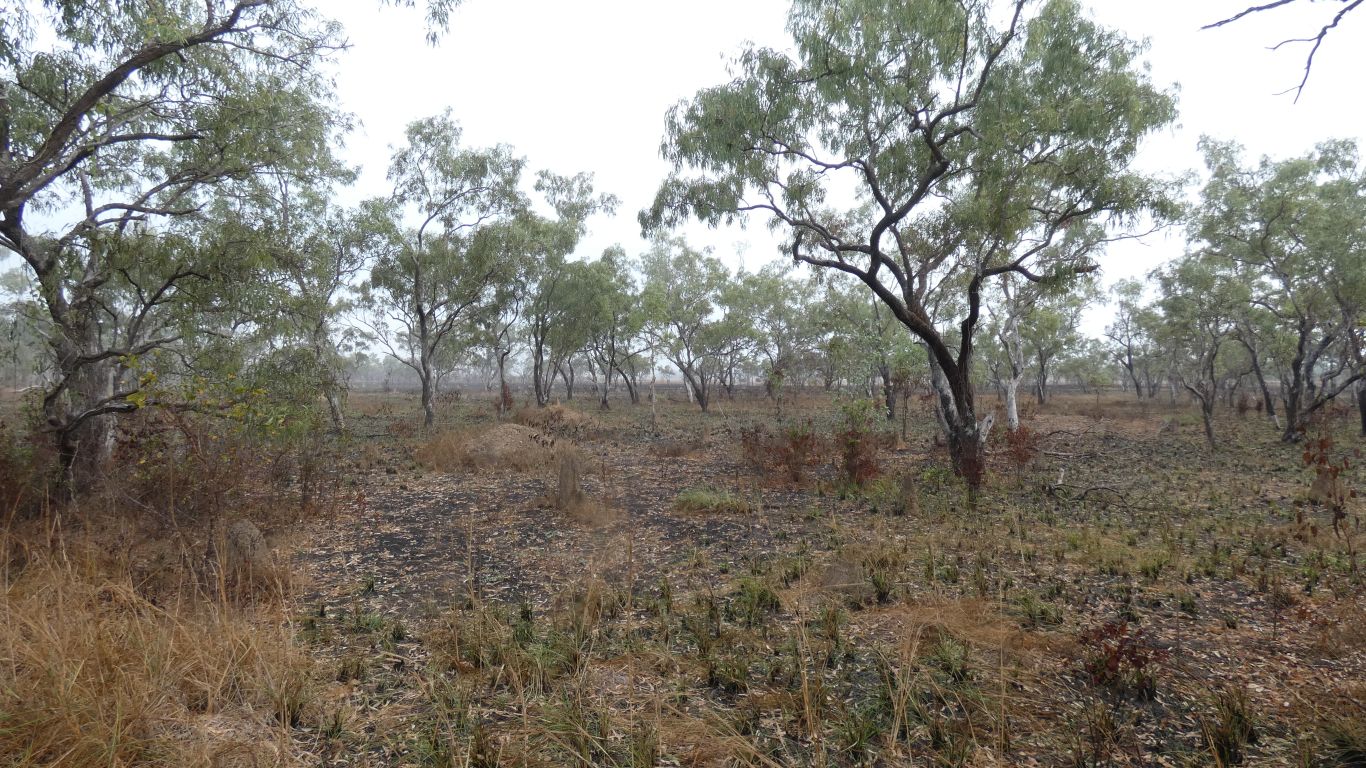
Easy walking, but very dry and lifeless looking.
They look like the remains of the shellfish we learned of yesterday.
We can't tell if there are hills, or just trees. Though there are no hills tall enough to register as contours on the map.
Perhaps if we'd walked another km up the creek we'd have reached the narrow spot on the map. But no guarantees of a crossing, and a long way to anywhere on the other side.
Of course, if we'd walked west along our vehicle track a wee way we would have found a round net float and a red ribbon to show us where others have taken their quad bikes into the salt flat. Apparently golf is played on Sundays.
There is a pleasant community along this river bank.
I remember a story of "The Lotus Eaters" from my youth. We could easily become permanent.
We aren't very good at sitting still. Our fishing tackle is sadly lacking. I haven't caught anything, despite at least an hour each day.
We've walked in available directions. But really only scratched the surface. Just a reconnaissance really. Maybe next time we'll mount a proper expedition to cross the creek and follow the river north east. Maybe a boat - which would require a towbar on the truck. And a boat licence. Etc. Our imaginations prompted.
In the meantime, another fish arrived, courtesy of the artist in the end camp, and we walked to the corner of the creek again.
We can see the sandbar, that was shrouded in mist a couple of days ago, properly. In the distance the low cliffs of the right bank disappear as the river turns its right hand corner. At our campsite the river is about 350m wide. At the turn it narrows to about 200m.
It looks like the creek and a small hill, perhaps an old dune, or even an outcrop, combine to change the river direction.
The mosquitoes at this sheltered point were horrendous. An ambush. Protecting the ideal fishing spot! We don't linger. We retreat to where the wind blows them away, and cools us.