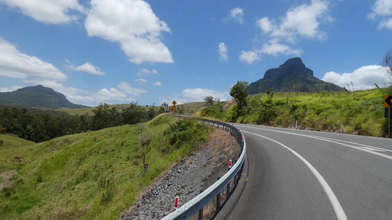
Decided on the "easy route". A few km to the freeway, a toll, then south on the Mt Lindsey Highway, through the border ranges.
We stopped the first night at Urbenville, in the forest reserve. A leisurely 150km.
Aches and pains not unduly aggravated.
From concerned and apprehensive to confident, a giant leap ....
We had intended to camp at Nymboida River Camp, remembered from a previous visit. However, storm clouds and some rain deterred us. The track down to the river is a bit steep. Manageable, but we really didn't want to go for a slide, or have to wait for it to dry before driving out.
Of course, not much rain and the tracks dried rapidly.
A clever bit of navigation between river sources.
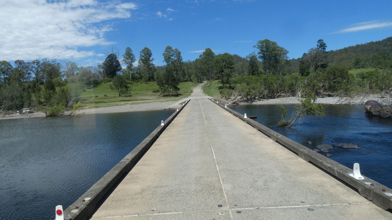
We've traced and joined all the rivers previously, but that was a long time ago. We turn south at Dalmorton, crossing the Boyd River.
If I recall correctly, where the Guy Fawkes River meets Sara Creek it becomes the Boyd River.
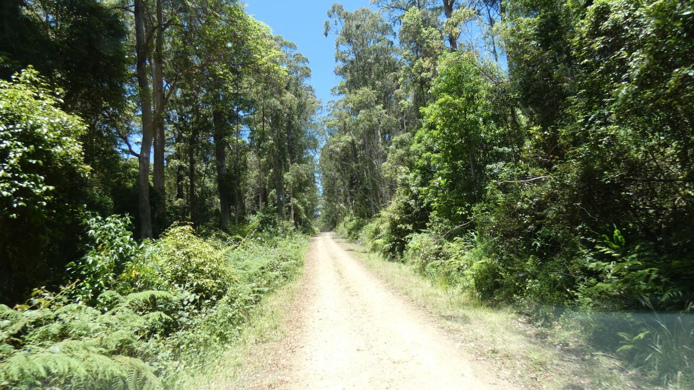
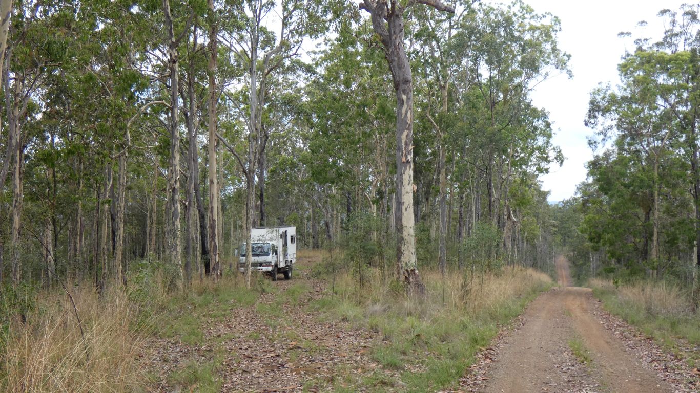
An easy forest drive we have followed several times.
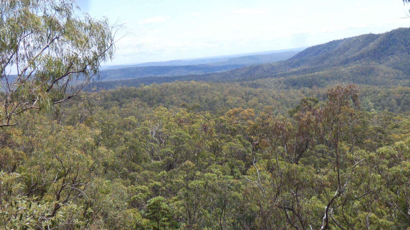
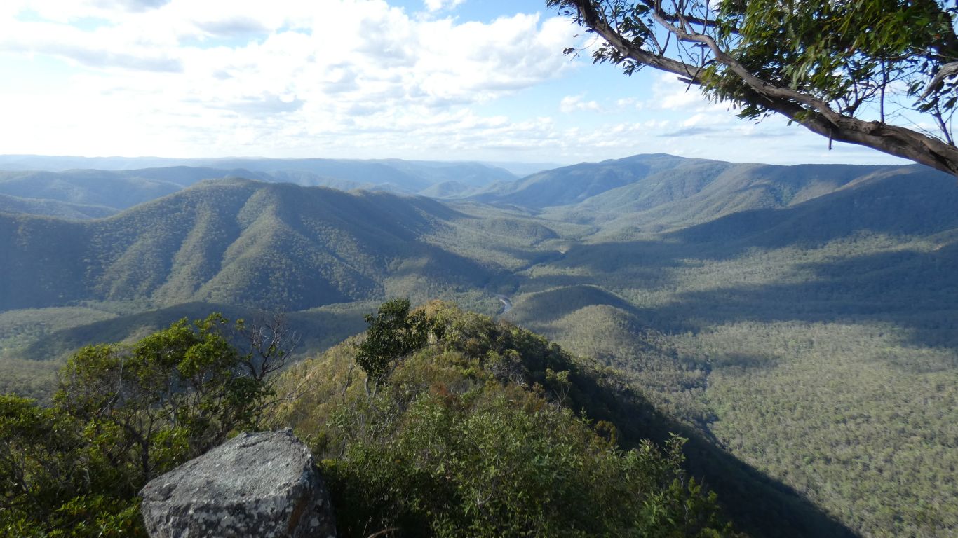
We think the clearing, just left of centre, is about where the Chaelundi Camping Area is.
With Chaelundi Creek then Lucifer's Thumb behind.
The rock wallaby didn't stand still long enough for a pic.
I talked briefly to someone who left his bicycle hidden in bush at the campsite, then drove to the top of the maintenance track. The beginning of a 6 day bush walk into the valley. He was on his own as companion had Covid.
If I were 10 years younger I would have volunteered ......
...... I think I need a bit more recovering before being too adnventurous.
As people keep reminding me, while saying "don't overdo it", open heart surgery is a serious operation. It seems the 12 weeks recovery is for the sternum (sliced longitudinally to gain access to heart) to be considered "joined" with the help of stainless steel staples. And as usual I seem to have underestimated the total time for recovery with possibly unrealistic expectations.
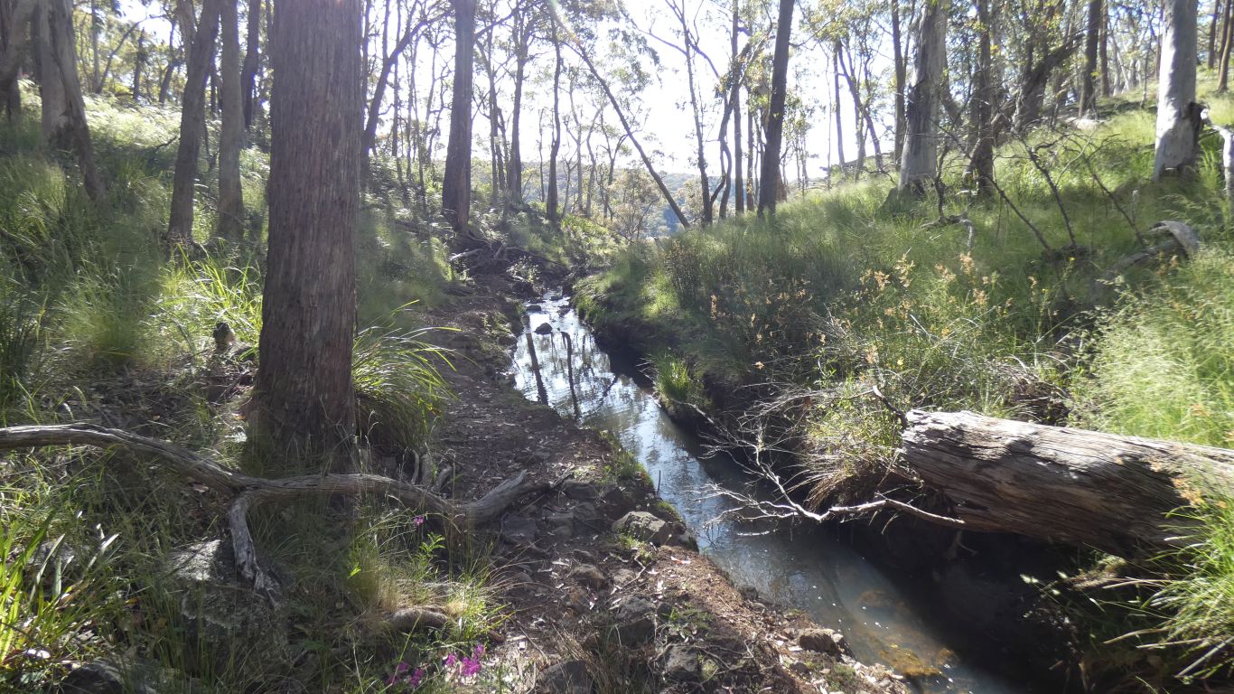
We met one vehicle in the reserve, but we were the only campers.
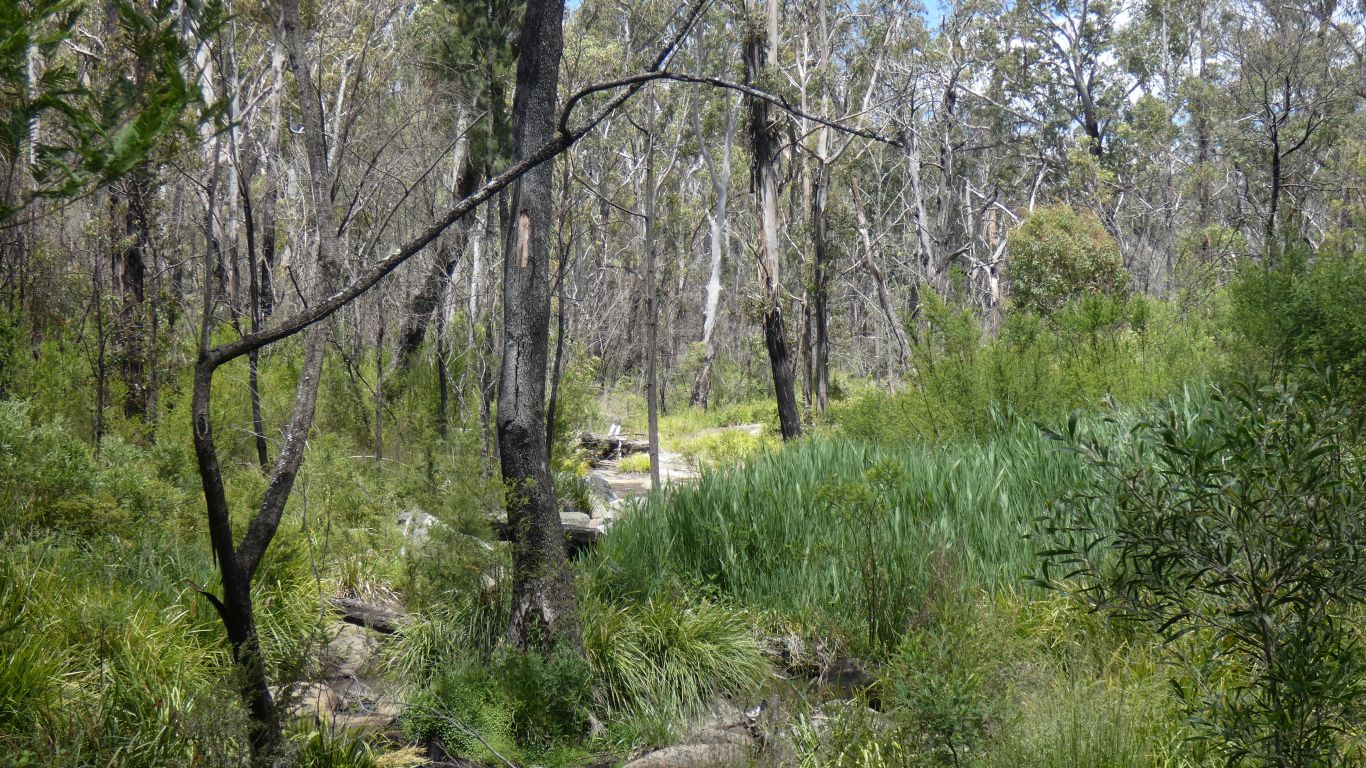
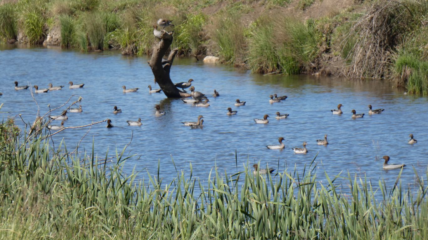
We hoped to see platypus, but camped next to the creek and making noise all we saw were ducks on a couple of km walk alongside the creek.
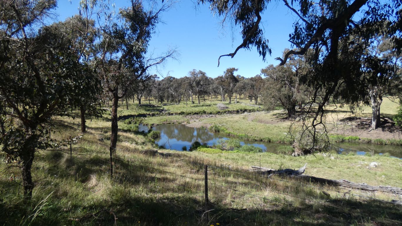
Bigger than Jennifer's creek, but similar vegetation.
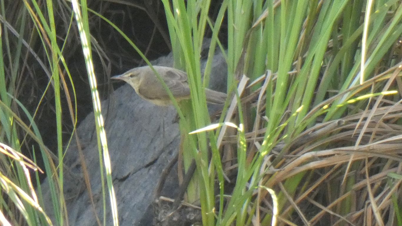
Some birds fly straight, some swoop in a gentle arc to reach their target branch, others mix fly and glide, while these flit.
Very busy, they mainly hide in the reeds, occasionally flitting from one bank of reeds to another, by the shortest and fastest route.
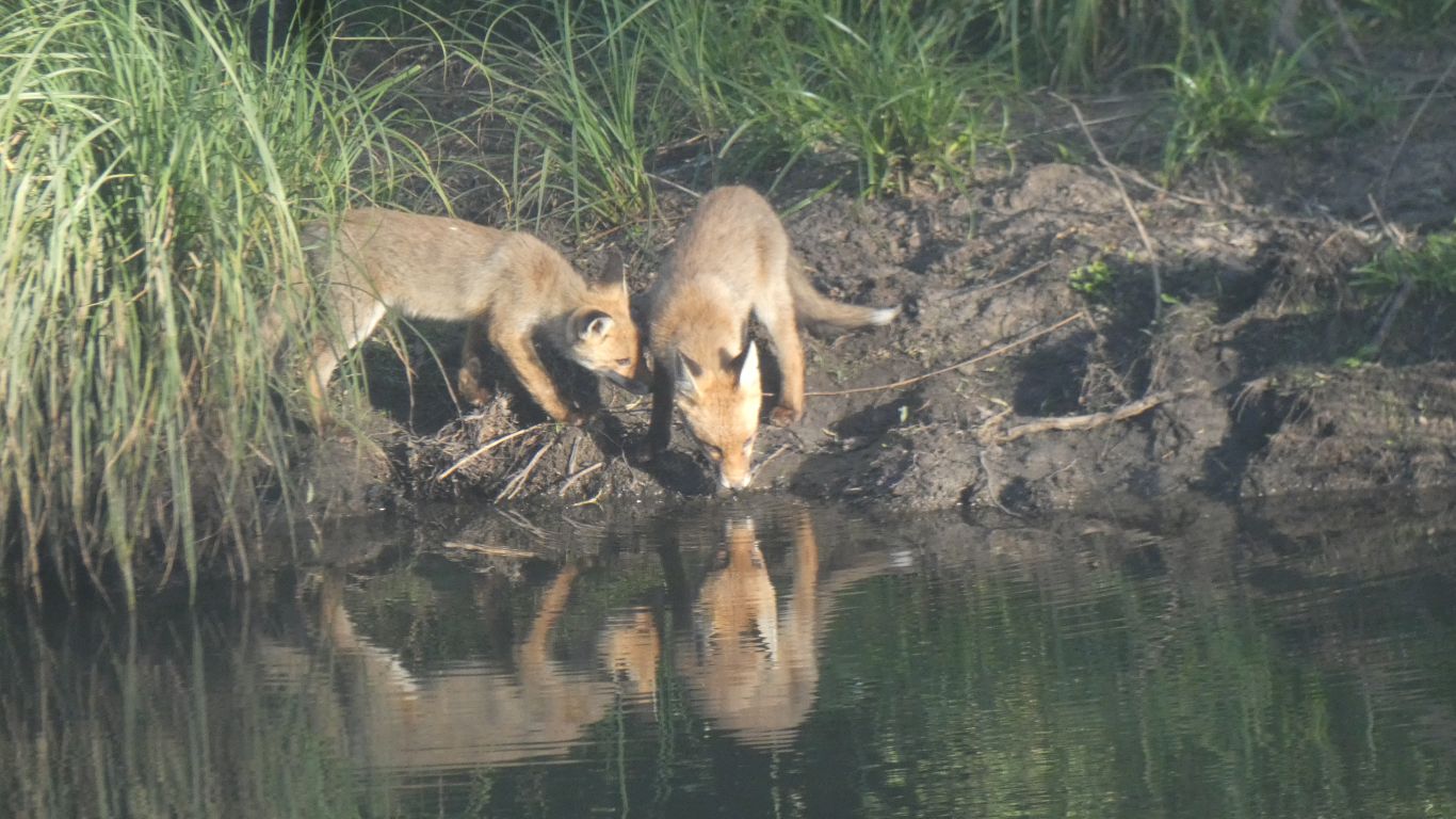
We'd noticed the track to the water's edge from under a large willow.
We thought Pandora Pass looked inviting. To enter the park we had to head West, then South, then East. The pass was the shortcut.
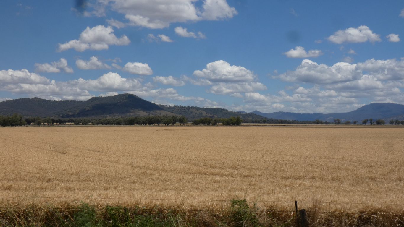
Pandora Pass is one of those passes the early Europeans needed to find so they could populate places like Liverpool Plains.
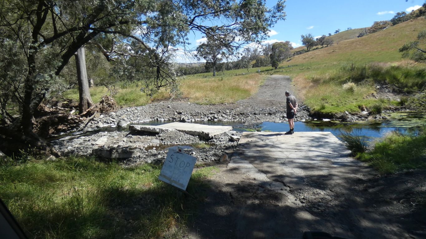
We ignored the "usuitable for..." sign. Then the impromptu "road closed" signs as we figured any flooding was long gone. Then the "we are tired of pulling 4wd out" sign.
Our nemesis was the second creek crossing from the junction at the southern end. The concrete slab had been moved leaving a bit of a step. Just a couple of km to the junction. Easy to see why some would rise to the challenge ...
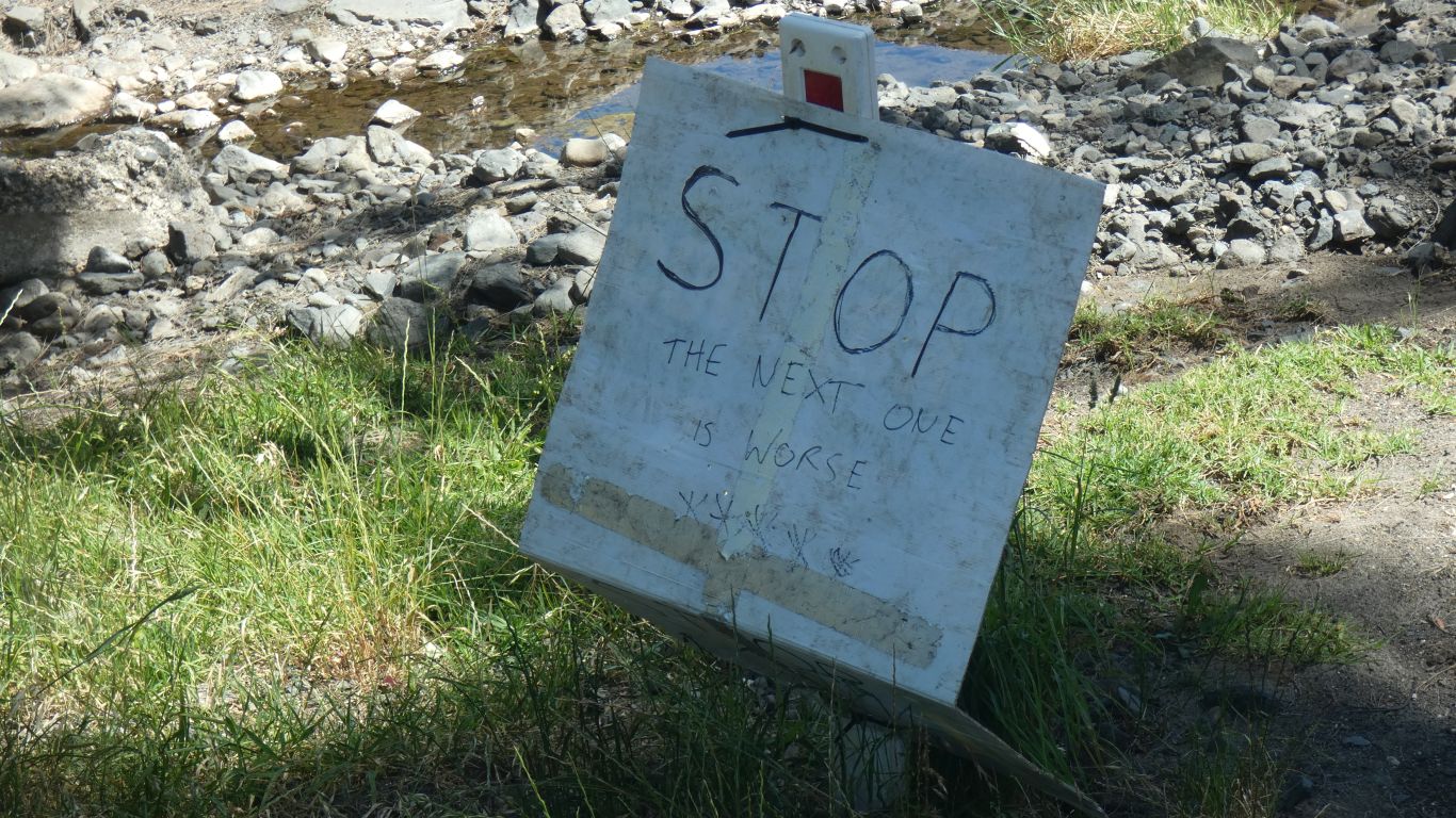
The "the next one is worse" sign had finally convinced us. Slow learners, and full marks to the signwriter.
So we returned over the pass, a nice drive. but adding about 60km to our day.

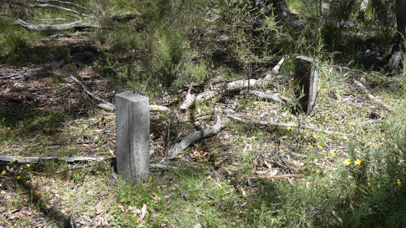
We thought the area had been logged. It seems for railway sleepers. So some good forest remaining.
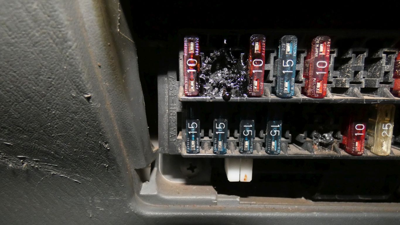
The smoke coming from the area of the fuses under the dash was a bit of a giveaway that something was wrong. It happened on a steep bit of the track, just before the park entrance. 2nd gear steep.
Stopping and turning ignition off stopped the smoke rapidly. I didn't have to dig in the toolbox for spanner to disconnect battery.
The fuse key says "back light". After removing as much debris as I could I tentatively turned the ignition back on. Everything works.
Following day I loosened the fuse block to investigate behind. No melted wires. Removing the debris seems to have broken the circuit. I still don't really know what its for.
A bit of a contortion act trying to work under the dash, more than a few twinges from my chest wall. It doesn't help that my eyes don't focus as well as they used to. I refuse to grow old gracefully (whatever that means).
This is the second time for similar occurrence. Last time the fuse didn't blow and wires melted causing much damage. This time it seems the fuse just got hot and melted the plastic.
Just in case I disconnected the battery overnight.
Not serious now, nothing to stop our progress. But a long time concern.
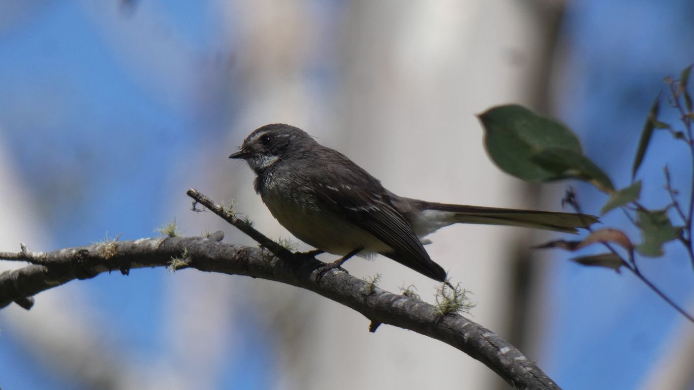
A family of grey fantails.
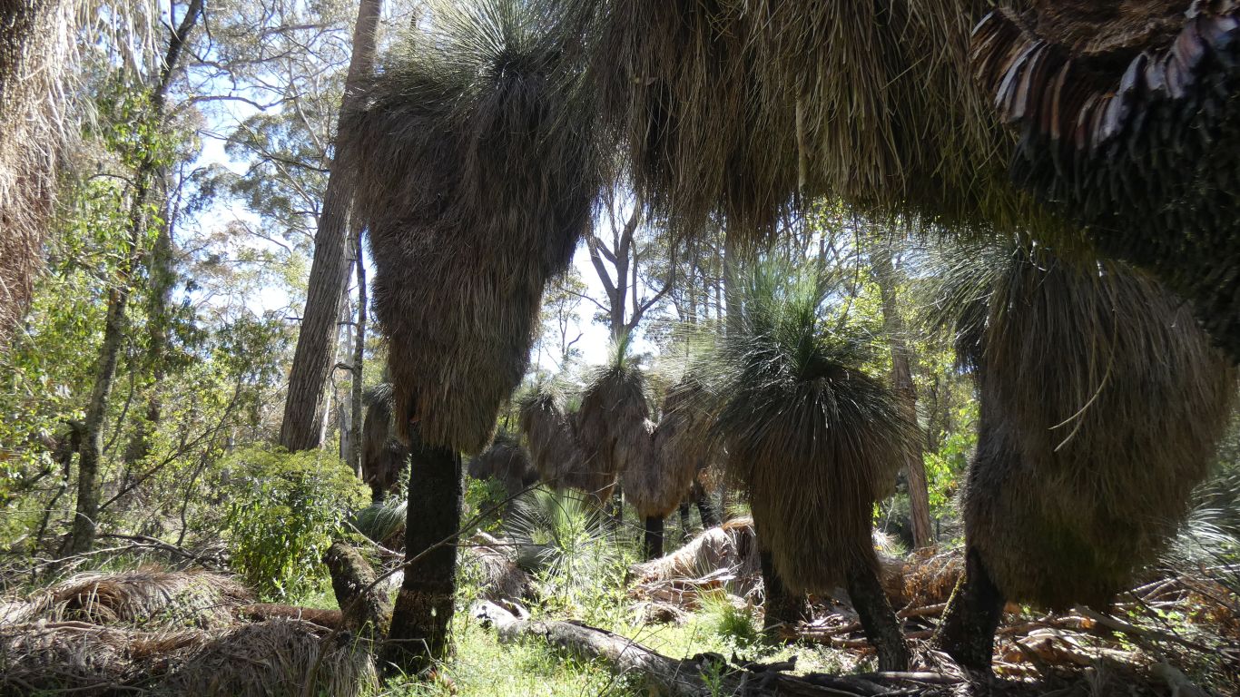
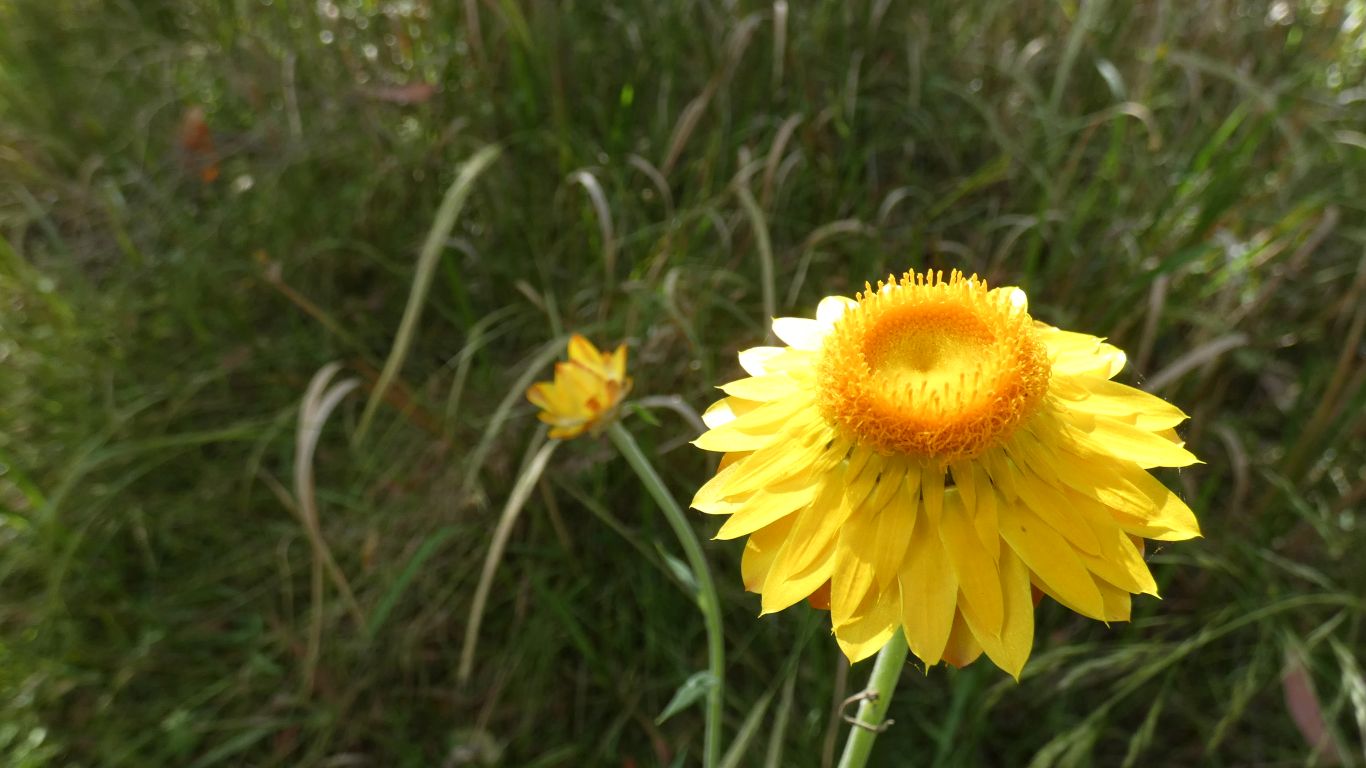
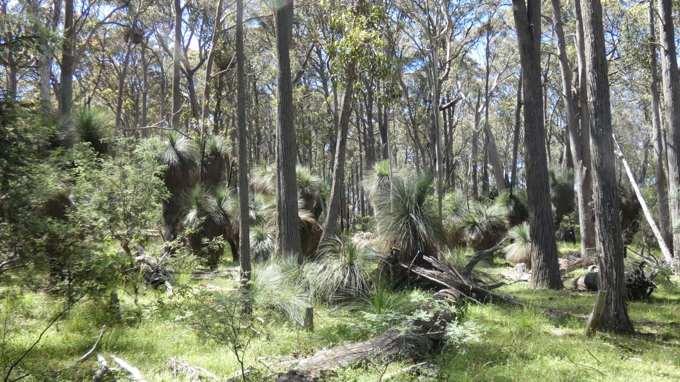
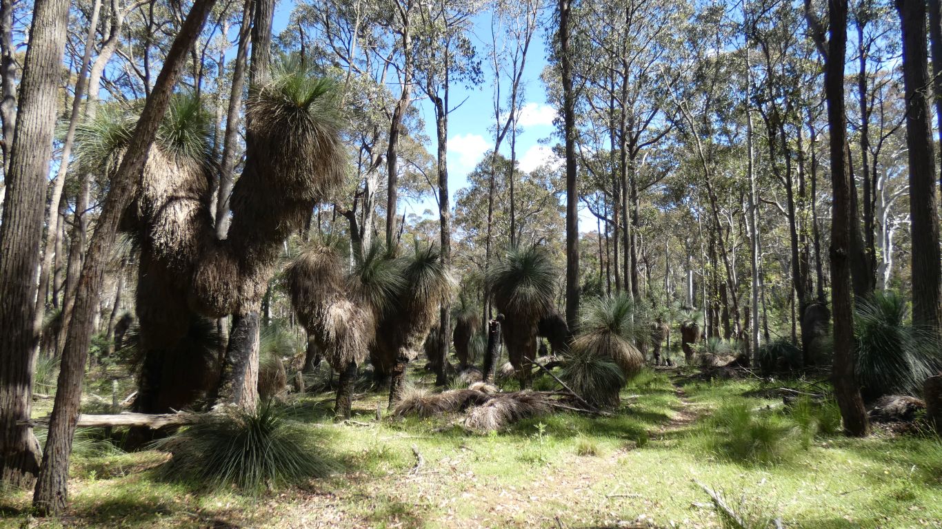
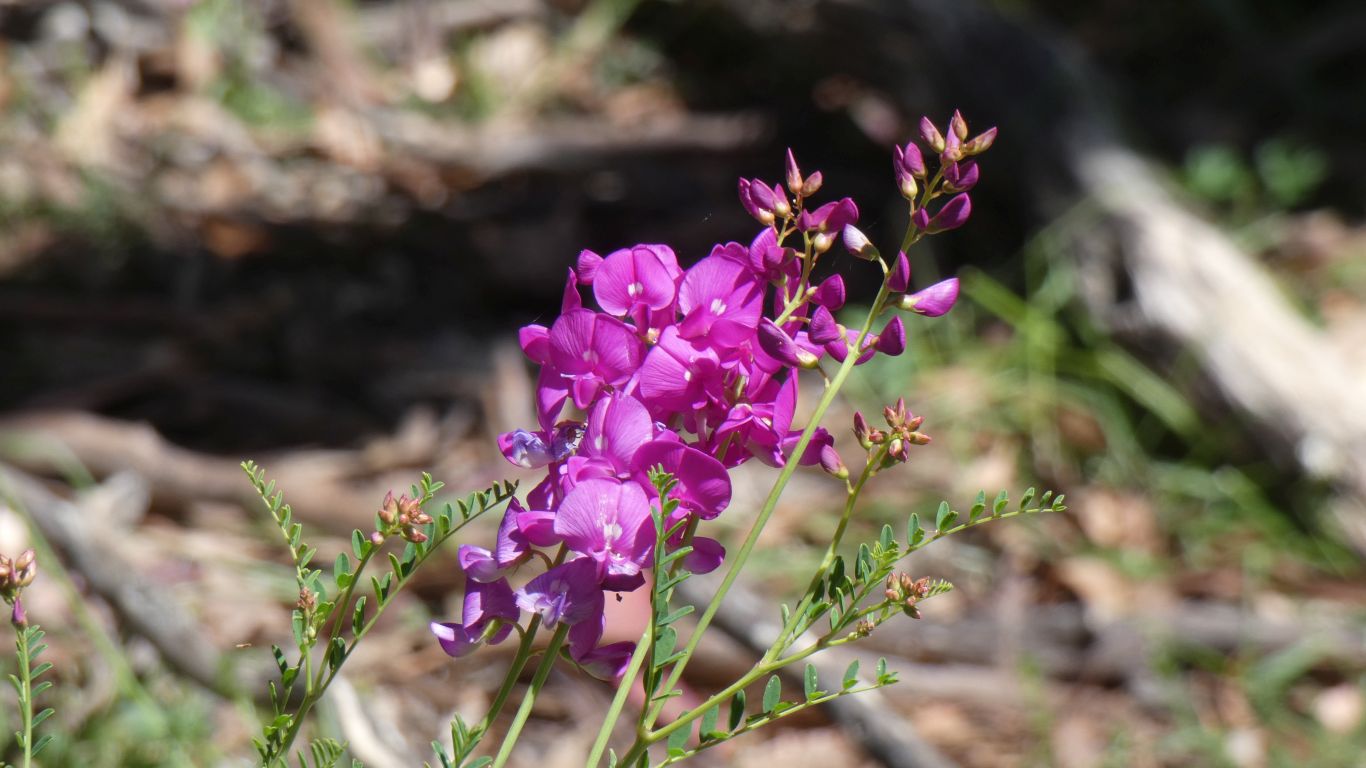
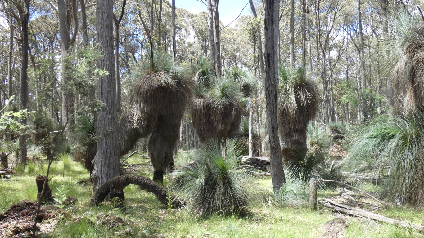
Centuries old. Most have flowered recently.
But awesome.
But bright sun so lots of contrast.
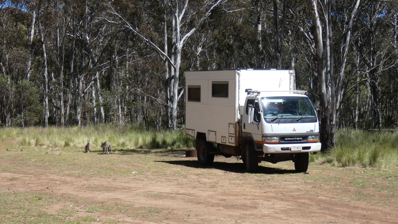
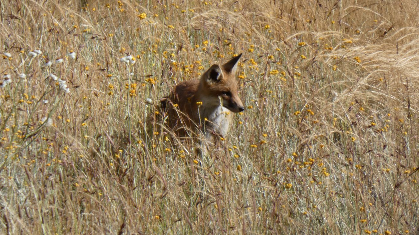
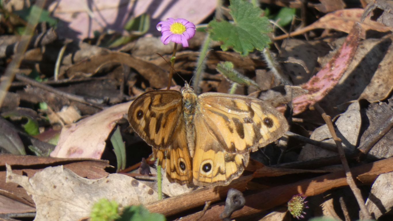
A side effect of all the rain and plant growth is lots of animals.
Though surprisingly we've seen little road kill - perhaps natural selection has been doing its work and fewer animals occupy the road in ways that are deadly for them.
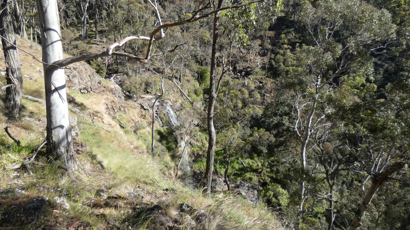
We are not as steady on our legs as we once were. We followed where others have walked to get here, but decided a bit slippery and a long drop so took a bush bash detour loop over the hill to get back to camp. Lots of fallen small branches, but easy going.
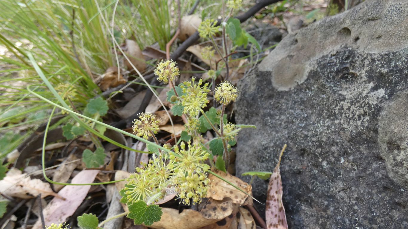
Everywhere. Prolific.
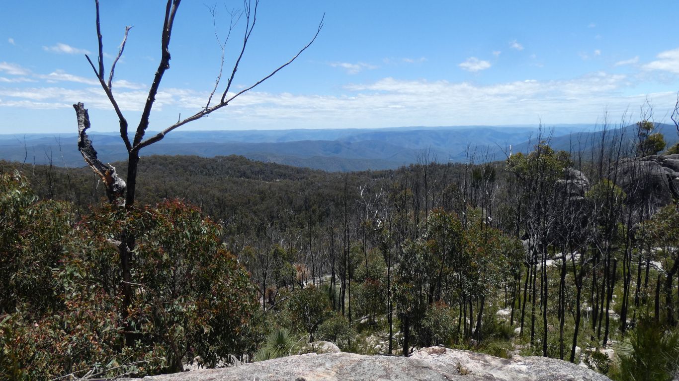
And definitely cooler (!). Altitude is about 1100m.
A few clouds and less sun. So a quick trip back to the Grass Trees.
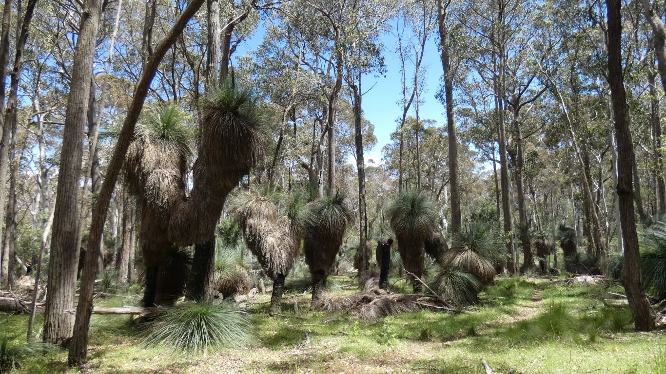
And of course we see more, as always with second visits.
We lost the Mullion Track part way along it. Found ourselves back on the road.
At Budella Lookout signs of a bygone industry, railway sleeper cutting. Now used to stop people leaving the road and car park.
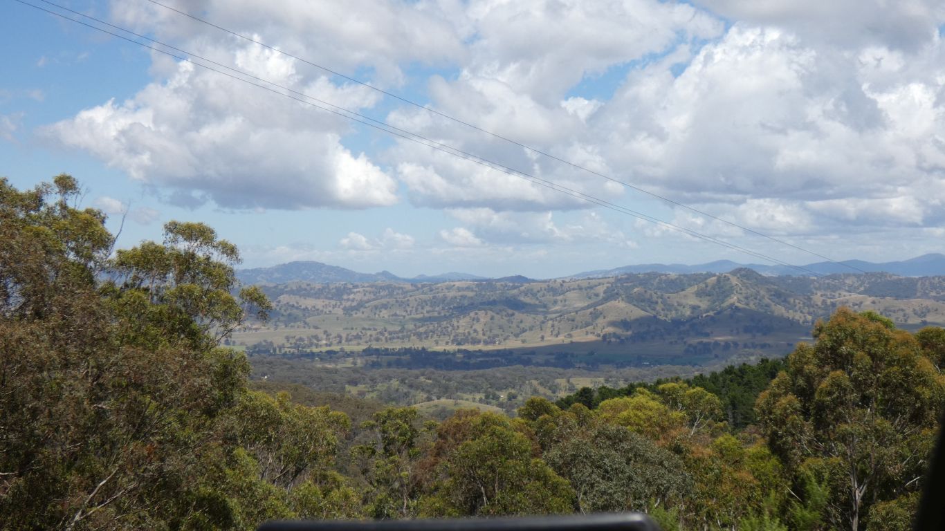
It would make a magnificent campsite, and probably was at one time. A very large clearing with an edge.
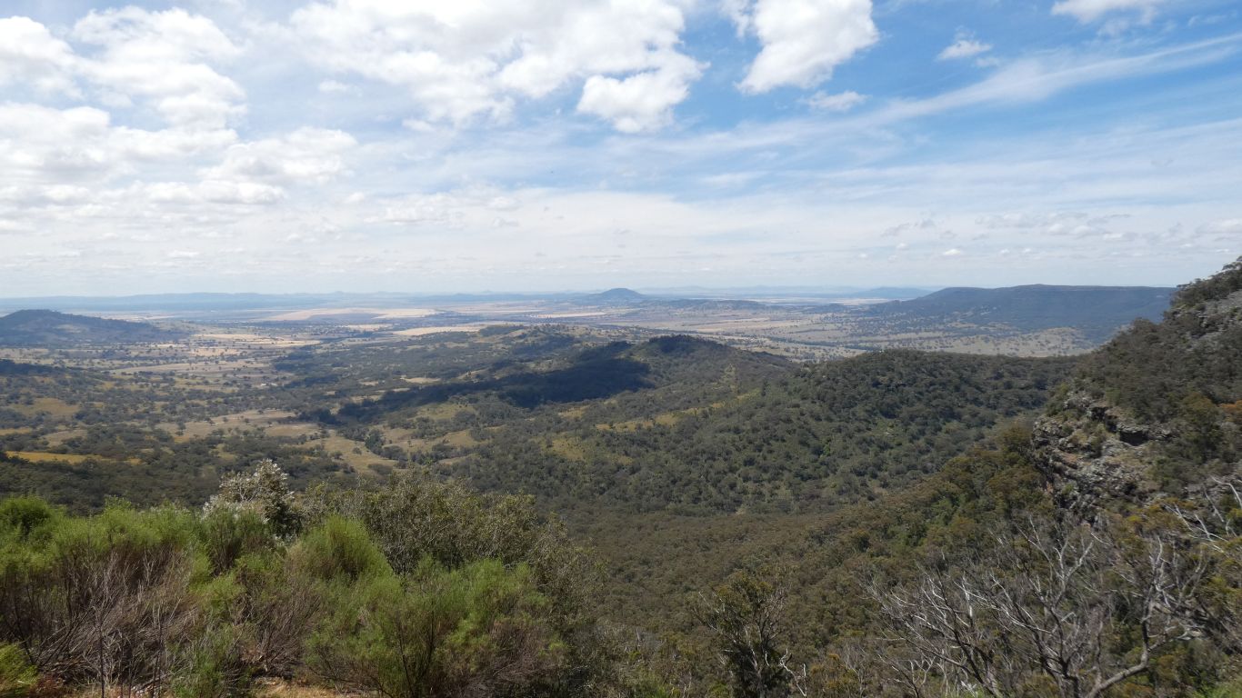
Pandora Pass is out of sight somewhere to our left, the hills are higher.
We've had mobile phone reception for the last couple of km as we descended towards the lookout. Good signal at the lookout.
The park appears as a bit of a maize to us. We are slowly making sense of it.
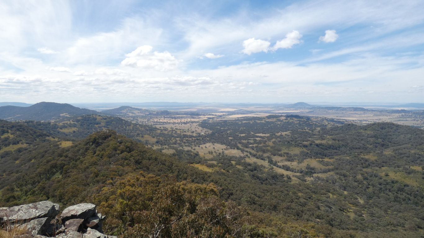
The range that has Pandora Pass a bit clearer, still to our left, out of the pic.
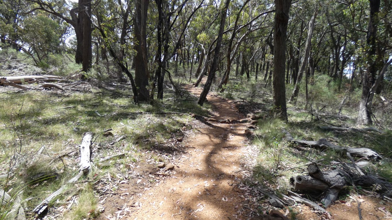
We followed the Mullion Track back towards home, the tracker told us when we found where we previously went wrong.
Perhaps a note, there are no track markers, no blazed trees, to help us with poorly defined tracks.
The tracker says our round trip was 11.44km. I'm becoming suspicious of the tracker, perhaps if it wasn't in my pocket it would get better readings. Our average speed didn't feel at all like 4.2km/hr. Either way, we are tired. A bit further than we would have liked, and lots further than the 6km I estimated from the park info map at the Barracks Camp.
It didn't help that one track sign said the Mullion Track from Pinnacle Lookout turnoff to Pinnacle Road was 2km, which measured as 1.5km on the tracker and straight line 800m on the map.
A nice, but very tiring, walk.