Capertee is known for bird watching in general, and Regent Honeyeater in particular.
We've driven past a couple of times. Last time we camped at Glen Davis. This time we finally figured out the way in to the valley and campsite.
We booked a campsite, and were rewarded with a combination for the locked gate in the confirmation email.
Though we only realised after staring at the gate for a few minutes and pondering our options.
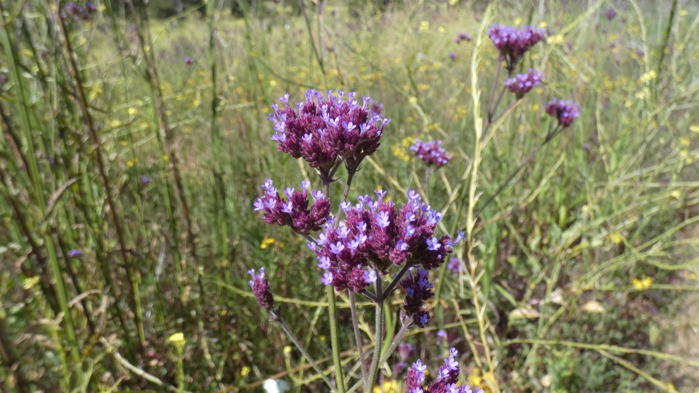
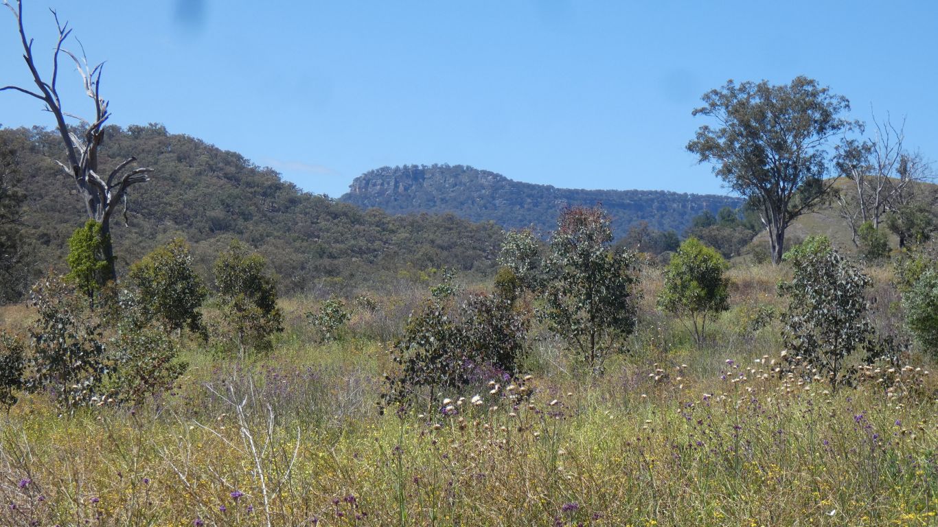
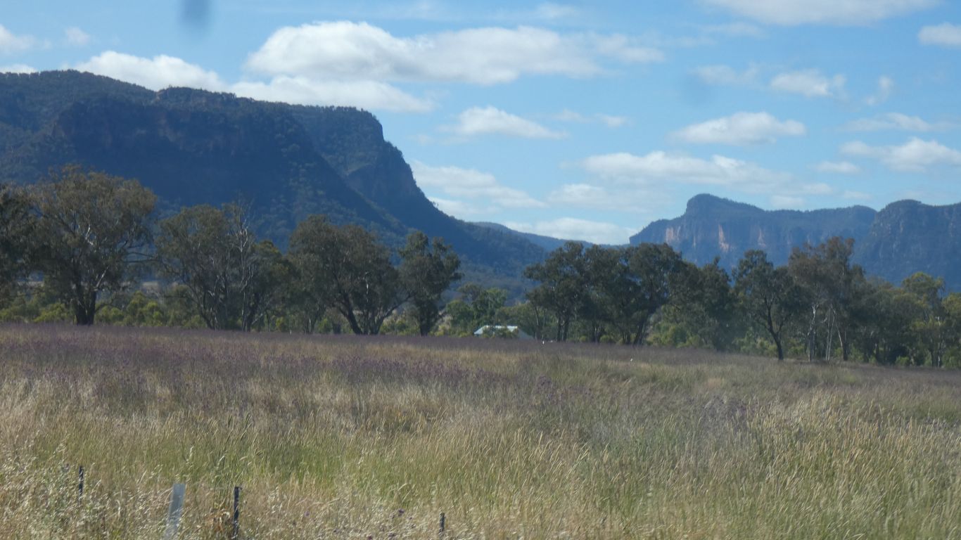
The purple stood out.
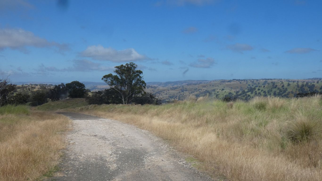
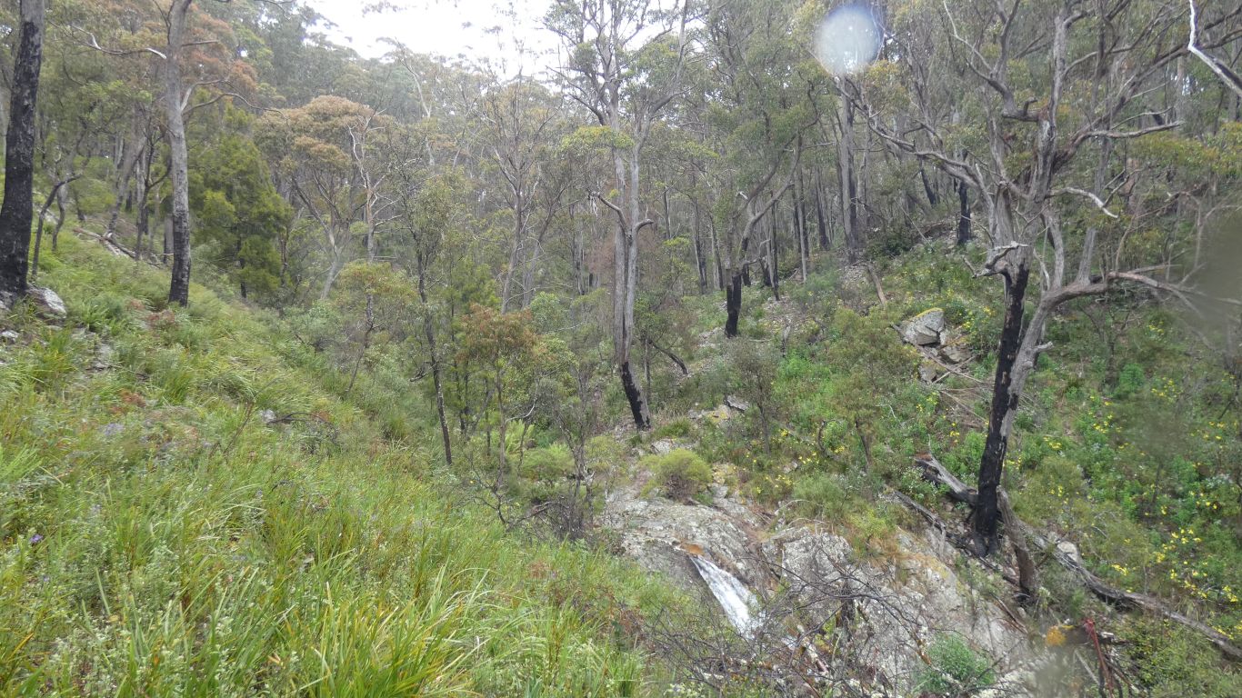
We started walking towards the valley lookout, 4km to our north. But rapidly realised the farm track had no intention of leading us to significant bird habitat.
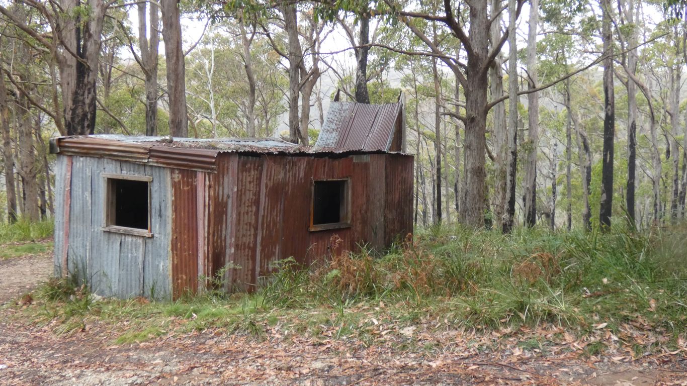
The river banks have lots of casuarinas, and few eucalypts.
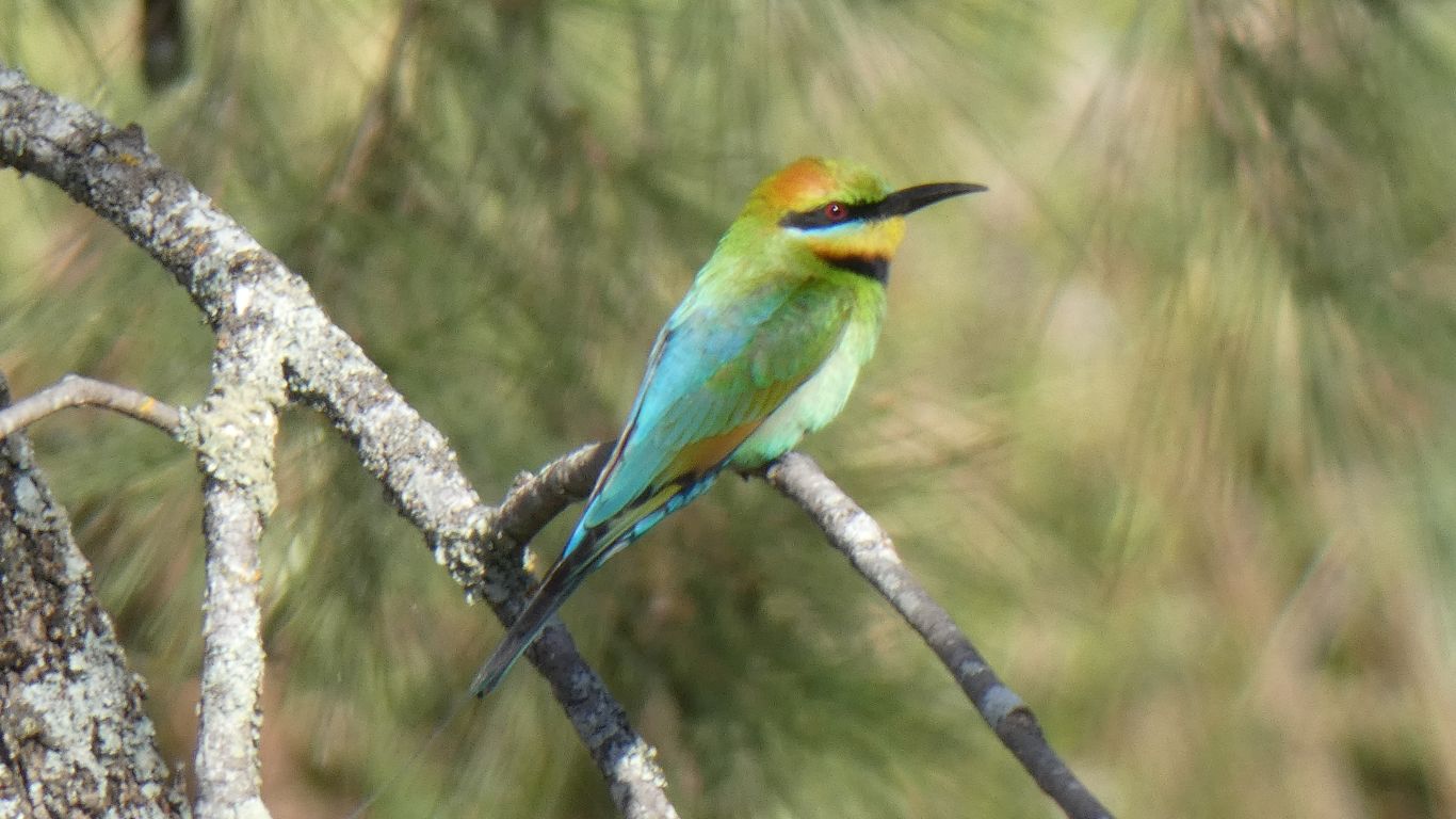
Park signage has lots of clues without being definitive. The honeyeaters prefer eucalypts. And of course specific eucalypt species. Which is of course why they are now rare, as their habitat disappeared.
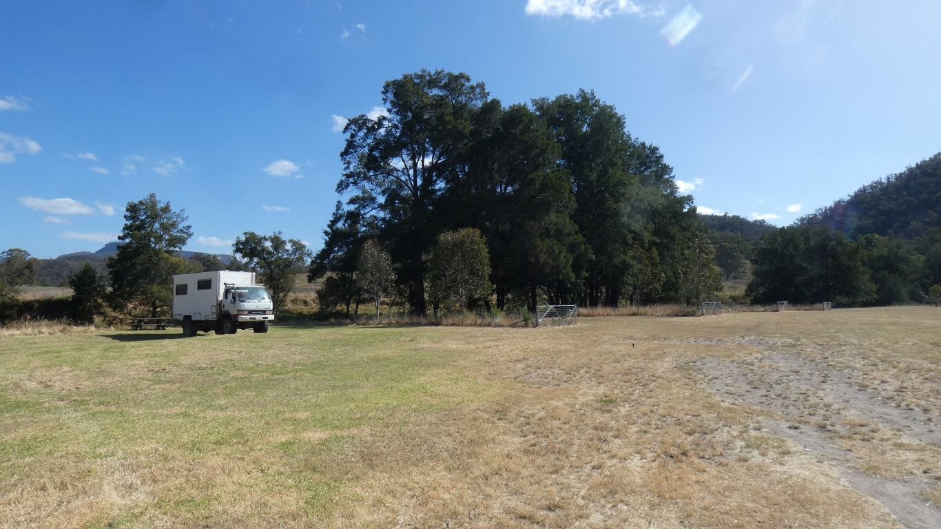
The small fenced areas are between campsites. We were the only occupants, though as the trees grow some privacy will be afforded - it reminded us a little of camping ground layouts in France.
Not enough patience this time. One day I'll line the camera up and trigger the shutter remotely when I see the bird coming in to land. Birds in flight are a challenge I haven't really risen to.
I didn't count the number of times we asked each other "have we got the bird books?" while packing the truck.
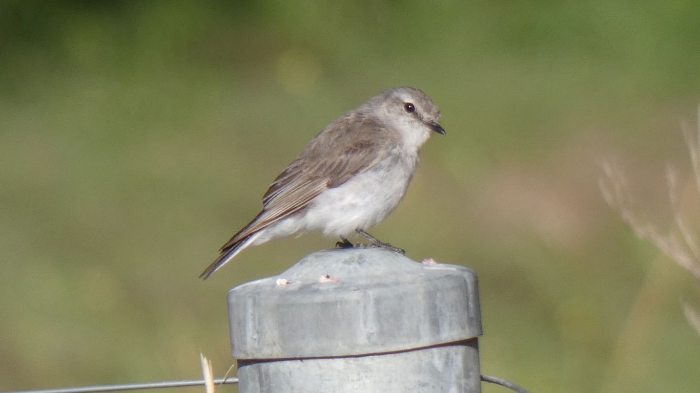
Though didn't need the books to identify a female house sparrow.
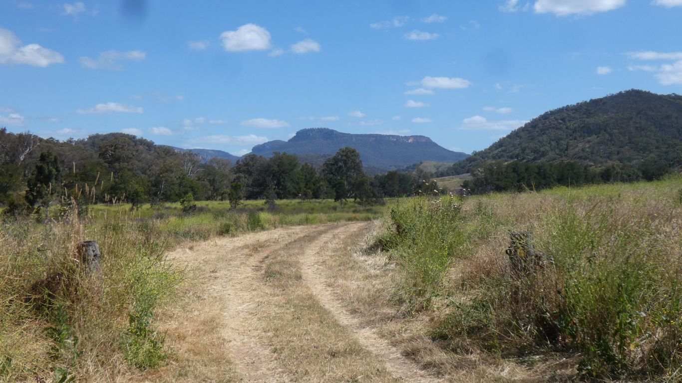
Beyond which we found ourselves trying to reconcile two different maps with signs that didn't match and bore little relation to where we thought we wanted to be.
And tracks which really got us no nearer eucalypts.
With signs for everything except "Policeman's Point Campsite" that figured so prominently on the maps.
With a name like that we will surely explore some day.
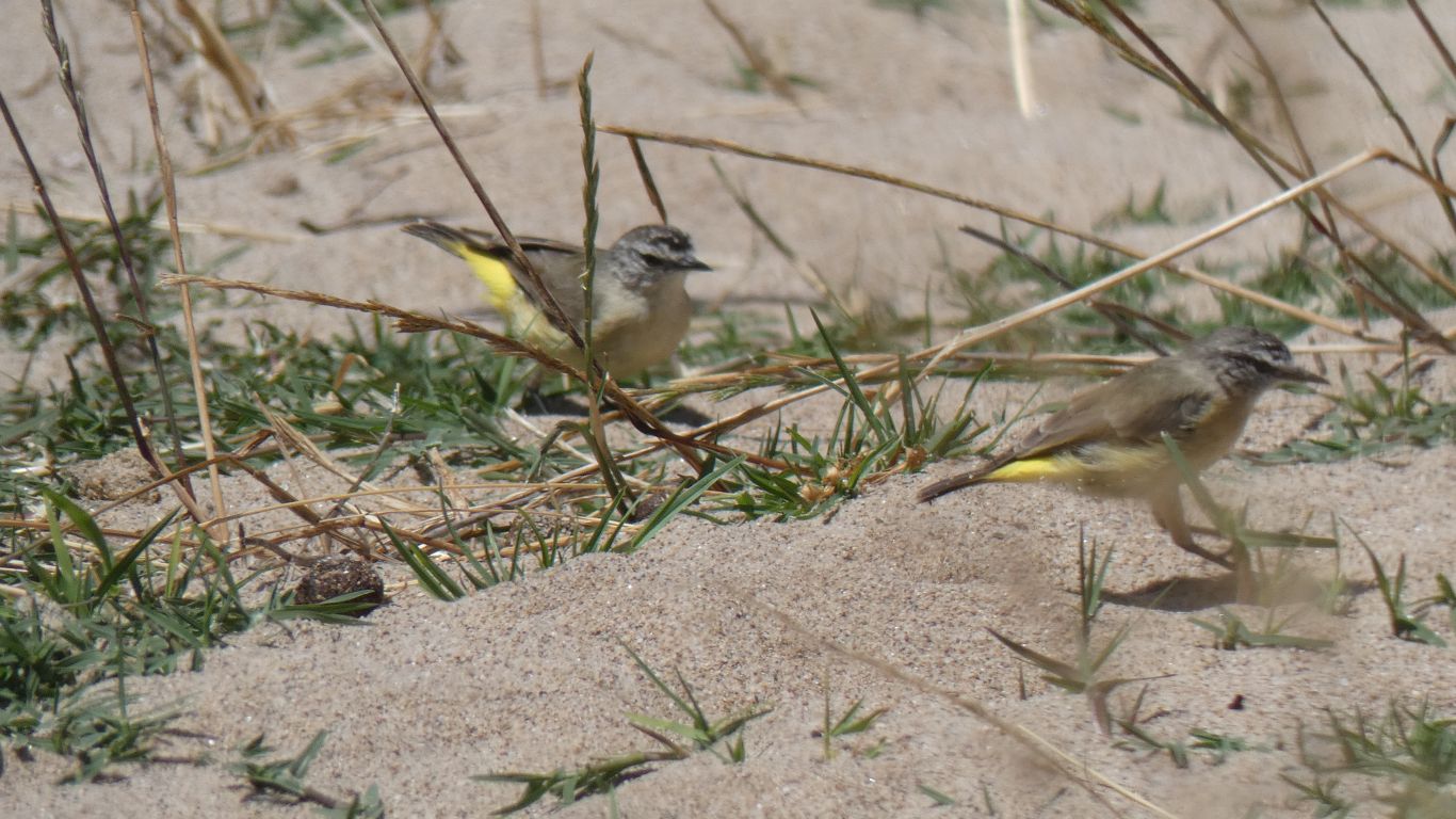
Back at the camp we were entertained by half a dozen yellow rumped pardalotes.
I'd watched them flit among some dense foliage, enough to see the speckled heads, but not enough to picture. Patience rewarded, they found the river bank sand interesting.
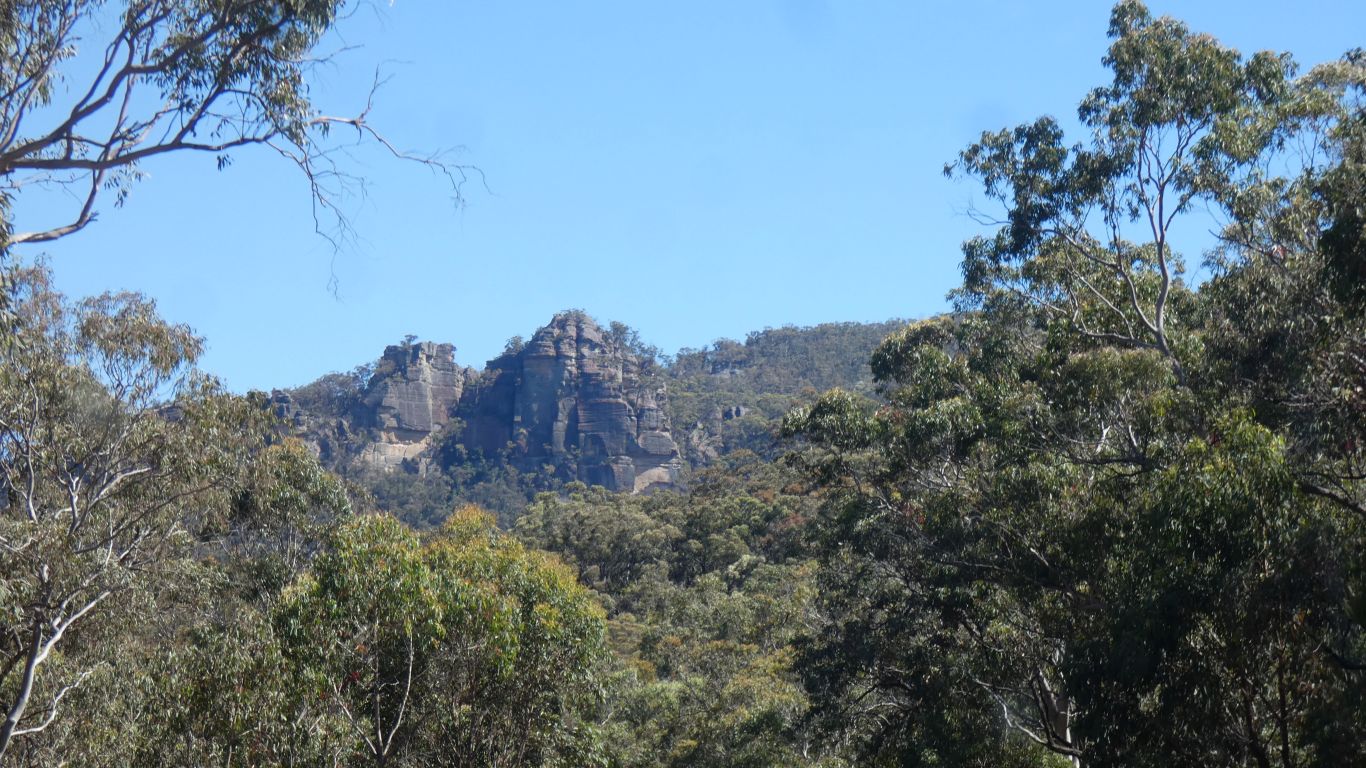
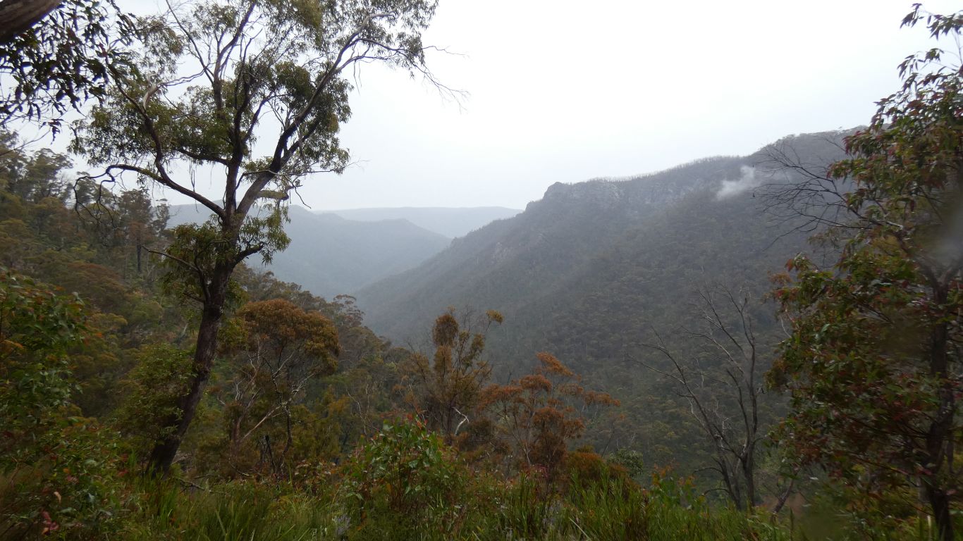
So I went exploring. At a time of day when the Gardens of Stone were highlighted by the sun.
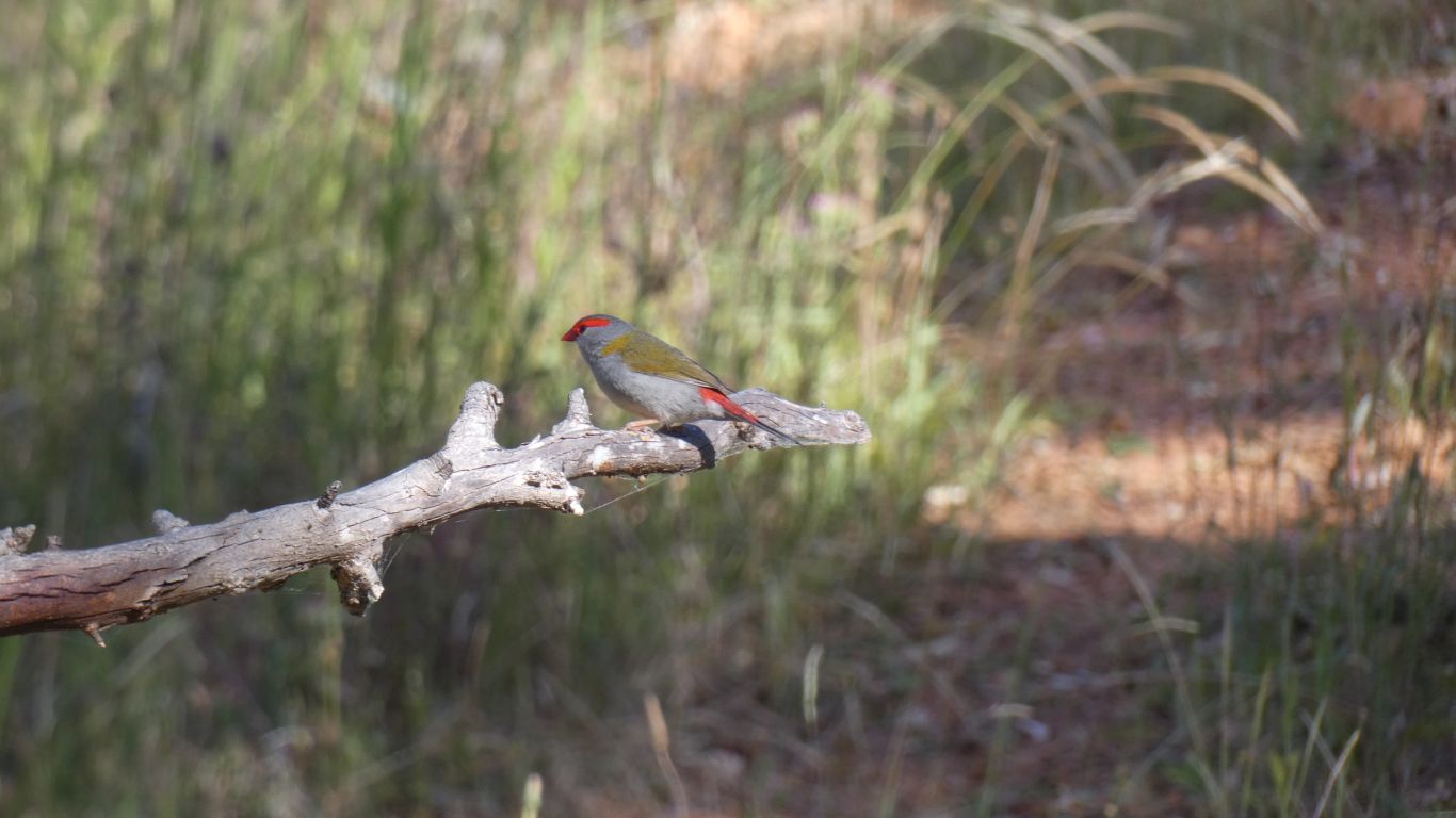
To be rewarded with a couple of firetails.
But no honeyeaters.
They are endangered, and its really unlikely we would stumble on them so easily.
Definitely to be explored at some future date.
For now, Christmas in Canberra beckons.
So we got rid of our rubbish.
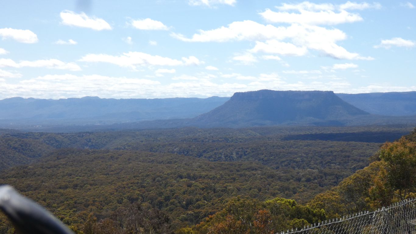
Just south of the village is a lookout - full of roadworks vehicles so inaccessible. This from truck window.
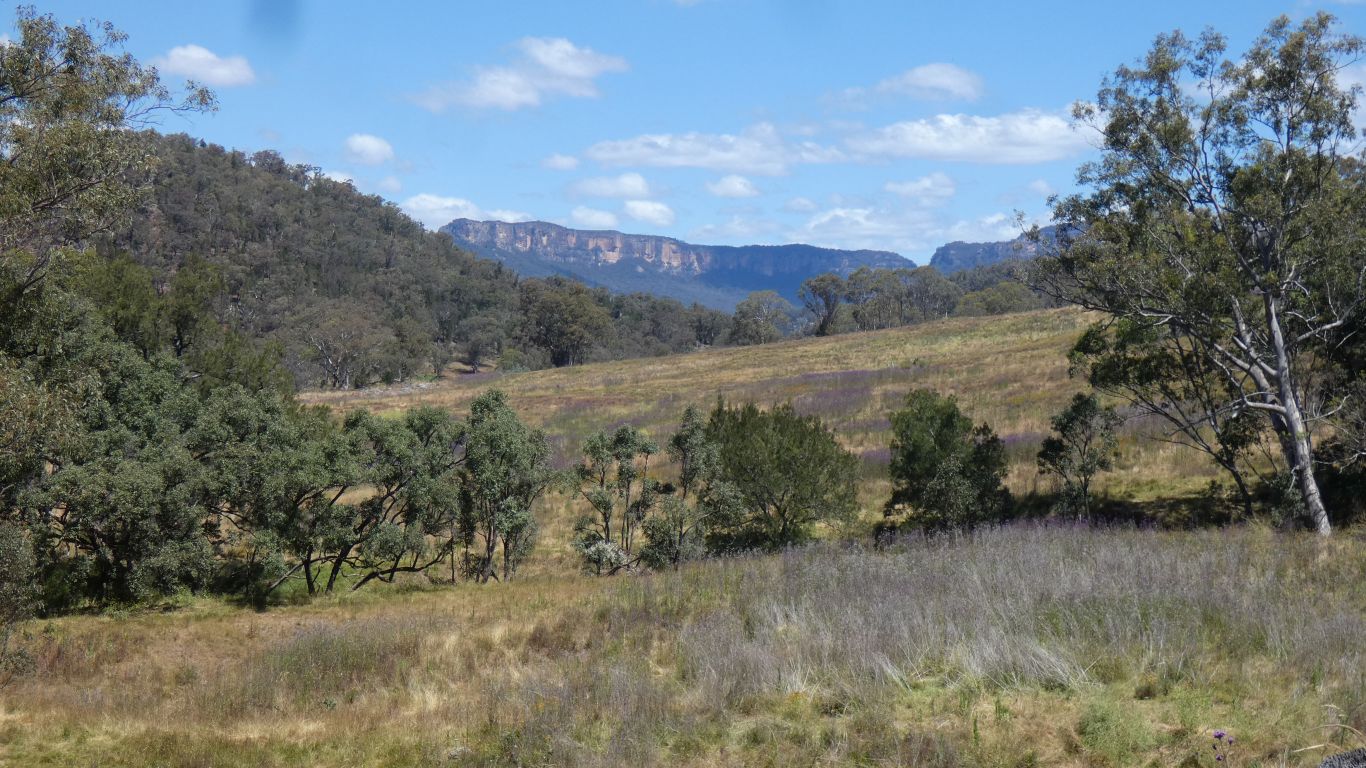
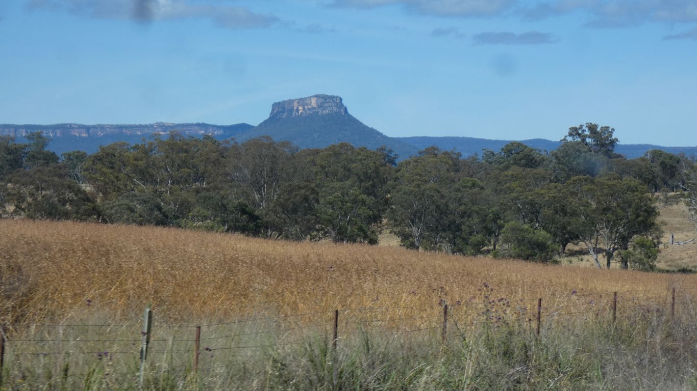
Perhaps we are looking at Pantoneys Crown?
The road is reduced to single width, with some serious damage where it has collapsed into the valley.
We've stopped at the lookout previously. This time we seem to have a better idea of the local geography.
Slow learners?
Following day we travel east for about 16km to Mout Werang. In southern section of Blue Mountains NP.
The road is dead ended beyond Yerranderie. Looks like it used to join a track further east, but Burragorang Reservoir (formed by Warragamba Dam for Sydney's water supply) seems to be in the way. We'll stop at Mount Werang to camp.
There's been a lot of rain in this area, flooding, Warragamba Dam is full for first time in several years.
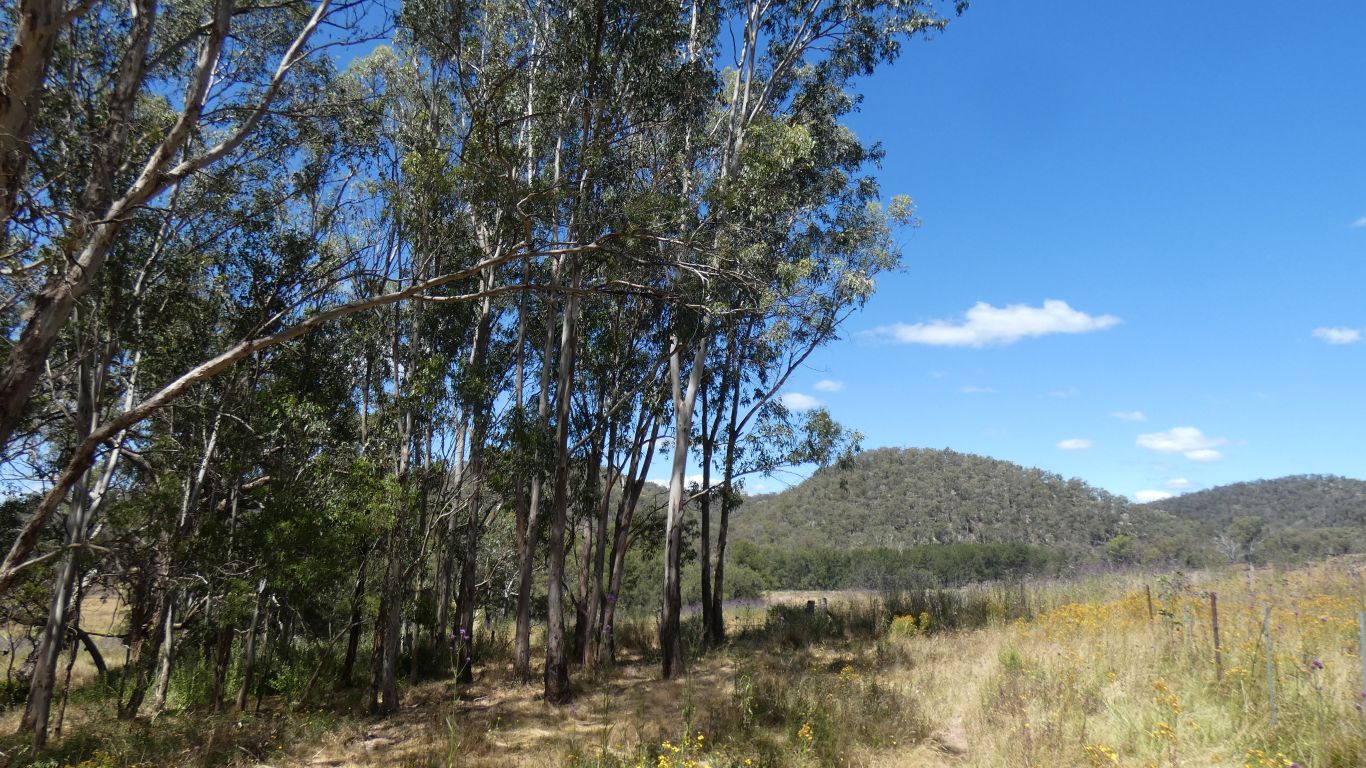
Nice to be in eucalypt forest.
At 1100m there are snow gums.
North west, towards Black Springs, is pine plantations. Declaration of national parks limited the growth of the plantations.
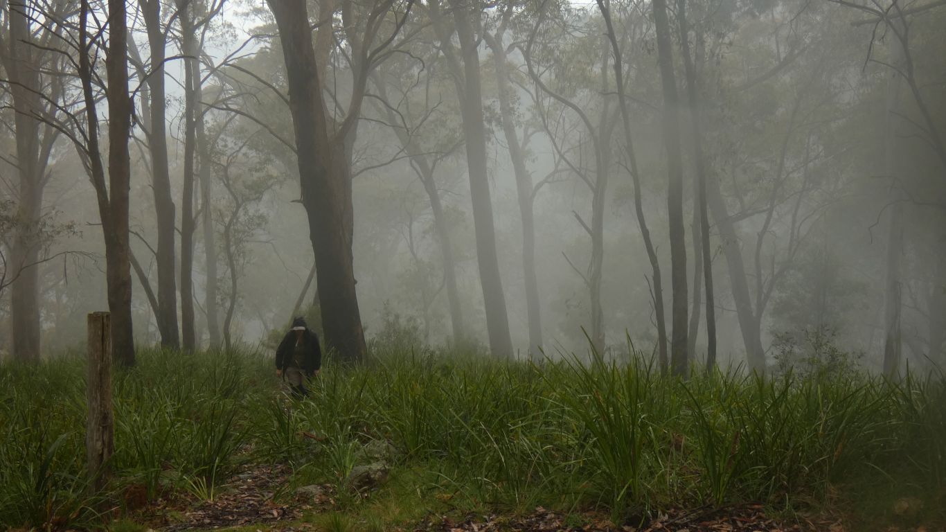
What you can't have known is that its raining. And I forgot wet weather gear ... probably due to concentrating on the bird books.
Ali was smarter. We set off anyway. Light rain hopefully wouldn't soak through pullover and t-shirt - and so it was.
We could smell the peppermint gums. A lot of the forest is recovering well from bushfires a couple or more years ago. Parts not so fast.
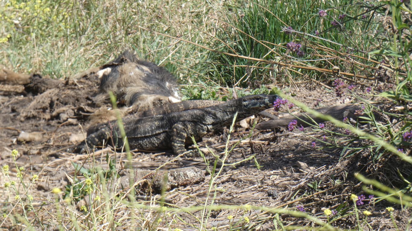
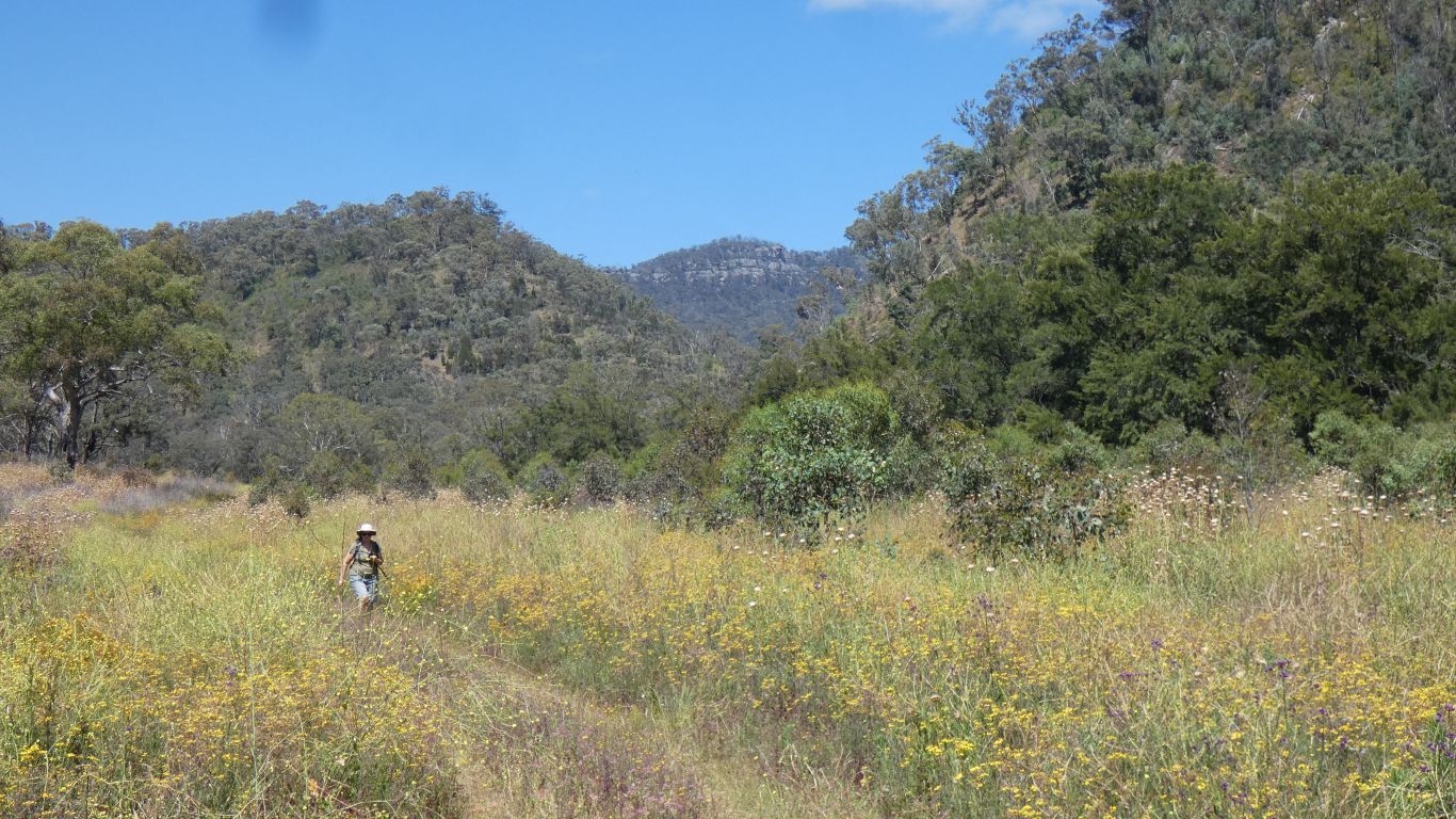
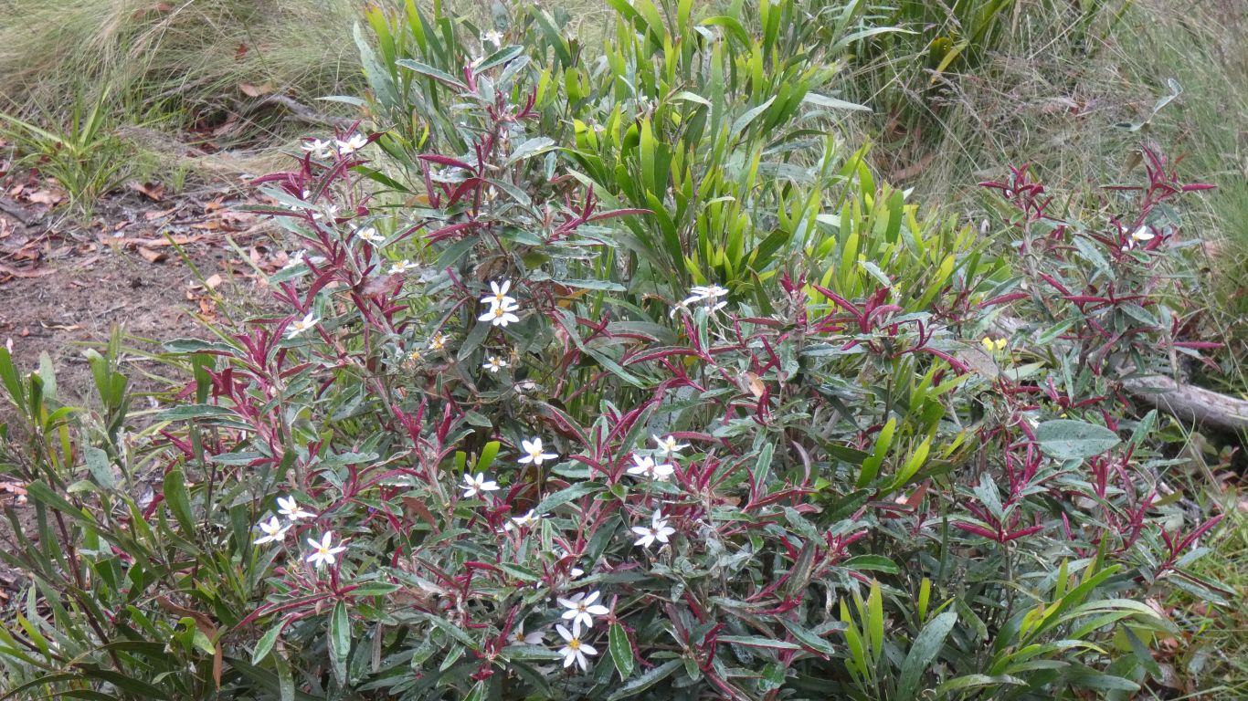
We are somewhat overwhelmed by the variety of flowers we are seeing on this trip.
We walked down to the lookout. We struggled to orient ourselves - possibly because the historic map was not to scale, and had north pointing to the right.
With benefit of hindsight, this is Ruby Creek, looking upstream. The track we walked followed the creek most of the way.
Out of sight is a small dam, and a pipeline for water supply to mine processing.
Somewhere at the bottom of the waterfall is a 50m long horizontal shaft. We'll know to bring the torches next time.
The mine was silver and lead. Yerranderie seems to have been bigger, and included zinc.
Nicely shrouded in mist.
We are camped on a plateau, in the same way as Coolah Tops. But the gorges here, where creeks and rivers fall off the plateau, are deeper and longer.
The rain is relatively light, but sufficient to make us damp, and cool.
A long chat to passing ranger who stopped to check we belonged to the truck in the campsite.
Also wanted to know if the walking track had dried out after the floods. It was firm.
About 500m before the campsite we passed a sign for "Range Fire Trail" with "Wombeyan Caves 35km, Taralga 50km". More like a formed road than a fire trail. Looking on the map it seems to follow a ridge, and avoid the drop into the Abercrombie River valley. No close contours. We'll consider the route in the morning.
The rest of the day spent watching the rain, from inside the truck.
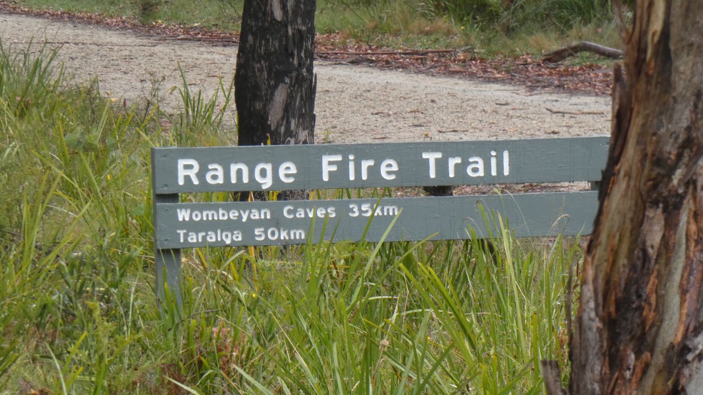
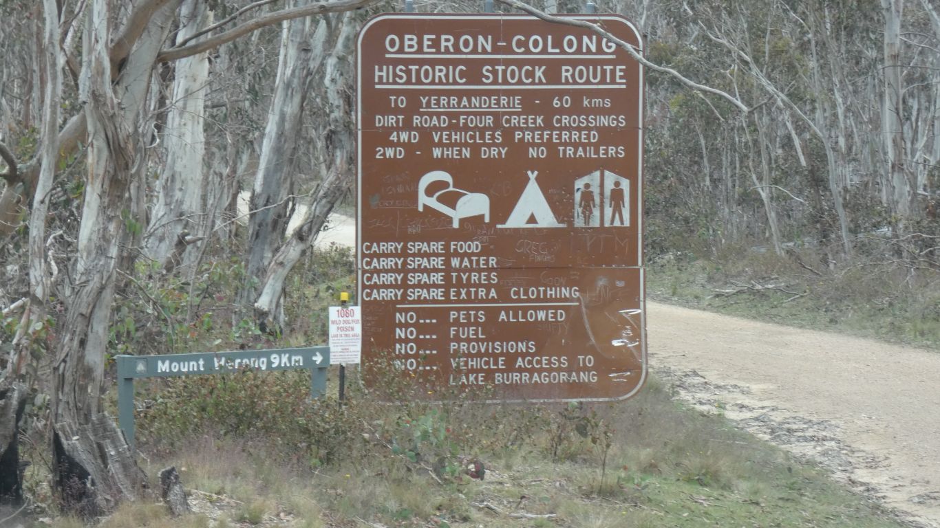
Partly answered by this sign, about a km east of the campsite.
A bit of hesitation as "fire trail" can mean narrow, muddy, steep, low branches, poorly maintained. It depends a bit on the state, locality and the terrain. Rarely is there a sign such as this.
In this case tempered by knowing the sealed Abercrombie Road has a steep descent to the river in the bottom of the gorge, and steep ascent up the other side.
Carefully looking at the 1:250,000 maps suggests the fire trail follows a ridge, between the tops of creeks. No hint of close together contours.
The track traverses the ridge above the head of the Abercrombie River, avoiding the gorge.
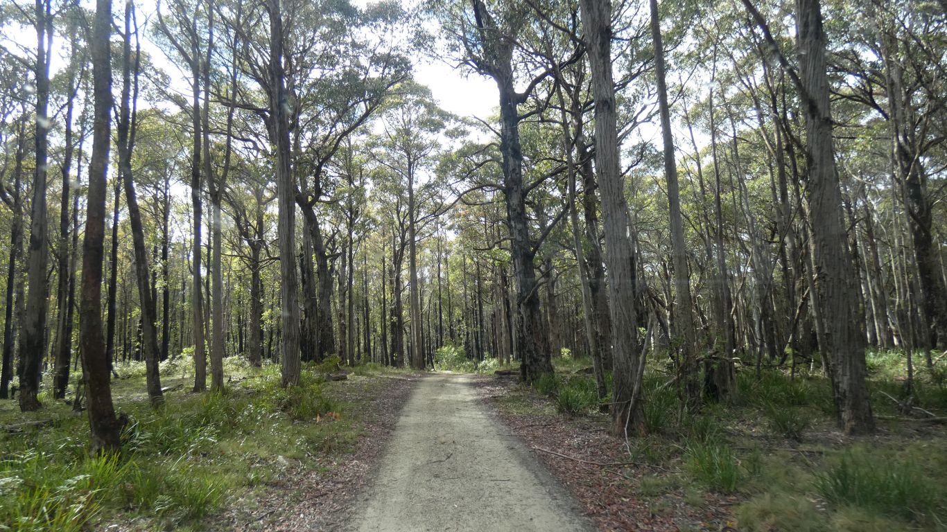
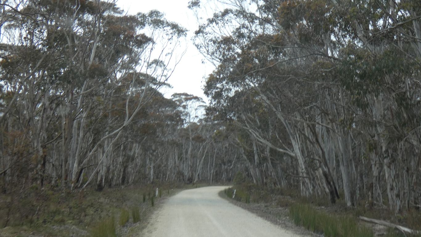
So we chose the fire trail, to the Wombeyan Caves road.
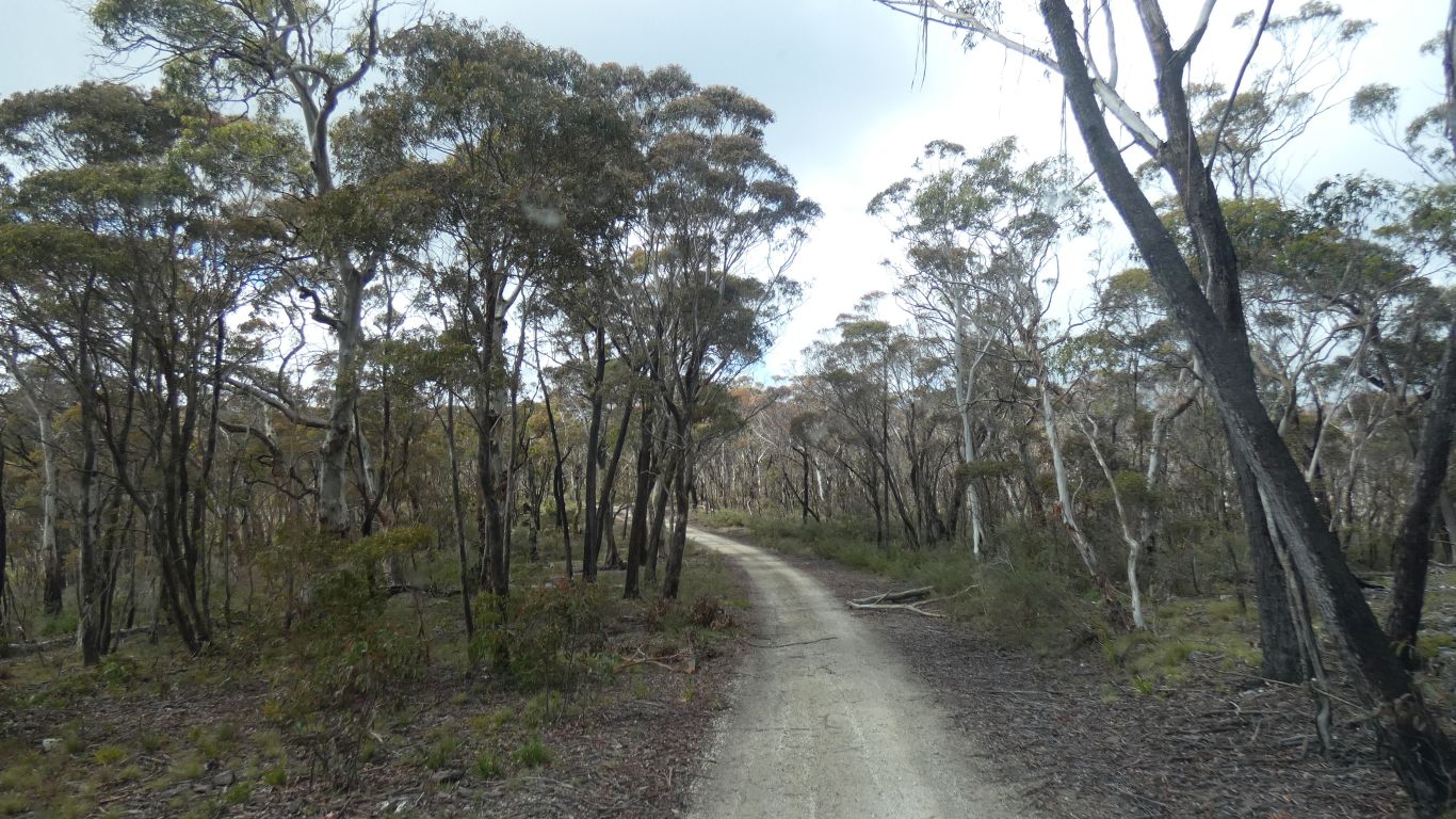
The track with just a few potholes.
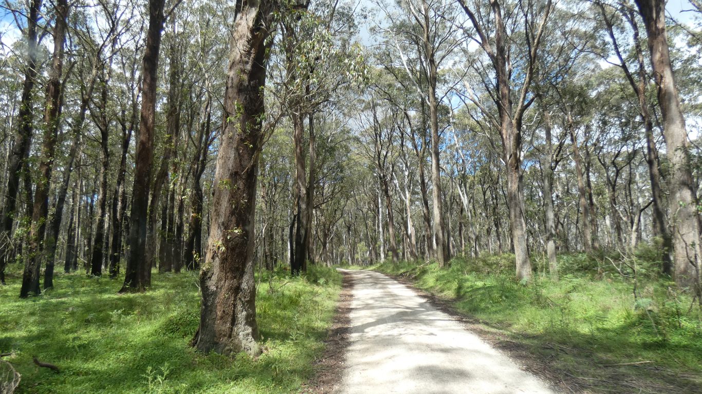
The track was never bad. A bit bumpy in places we averaged about 20km/h. We weren't in a hurry. Much the same as Ramornie Road from early in this trip.
Looking at a satellite view later there is "Wombat Pinch" and "Chalkers Pinch" where the ridge is a bit narrow. But in retrospect really only mildly registered as different to the rest of the track, perhaps cut into the side of the ridge.
Wombeyan Caves road was closed to non-residents east of where we joined it. The caves area has been closed since June, and planned re-open next June.
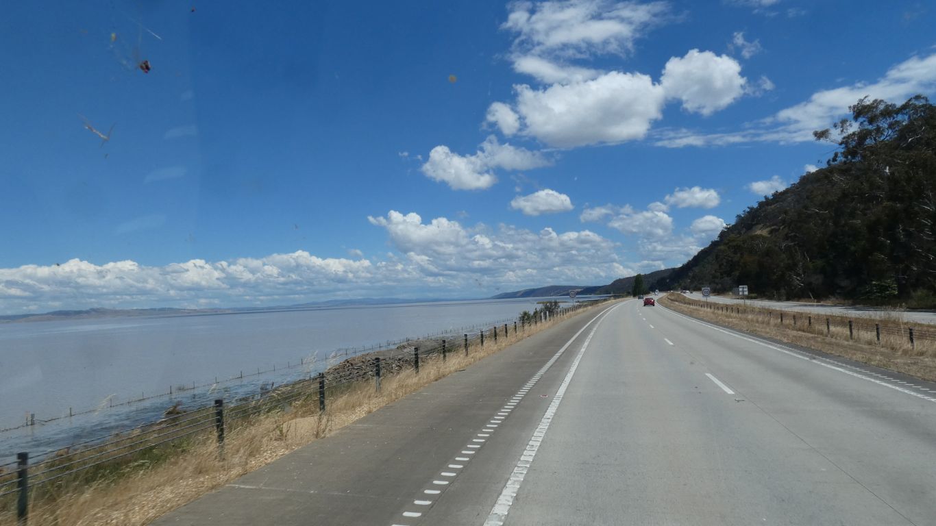
On to Canberra. The first time we have seen water in Lake George.
A few twinges in chest wall, but generally good. The slow and steady approach seems to have worked.
An evening walk with Whisky (energetic german shepherd).