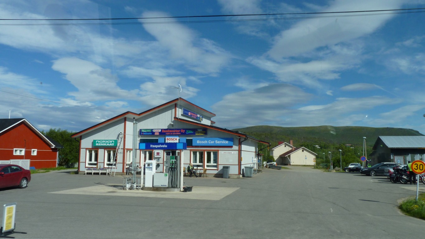
Having filled up with diesel in Utsjoki, ready for higher priced fuel in Norway, we stopped at this garage just before the border to discover it was cheaper.
We did buy a relay to replace the one for the compressor that had failed some time ago.
They had a "Webasto" sign and kindly spent quite a bit of time looking for a glow plug for the cooker - to no avail. Not even a part number.
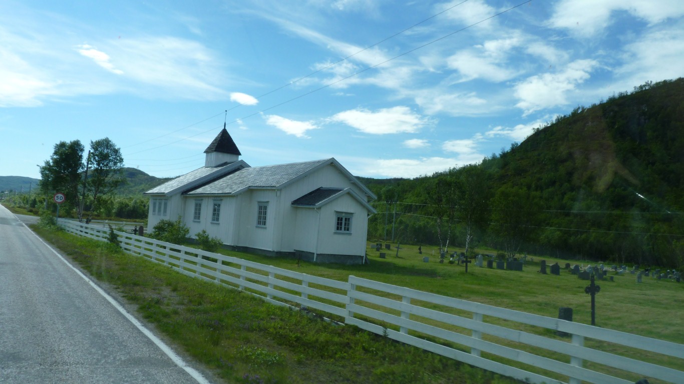
A different looking church, and fields.
Rather sad to be leaving Finland. Just a week is not long enough to get used to a place.
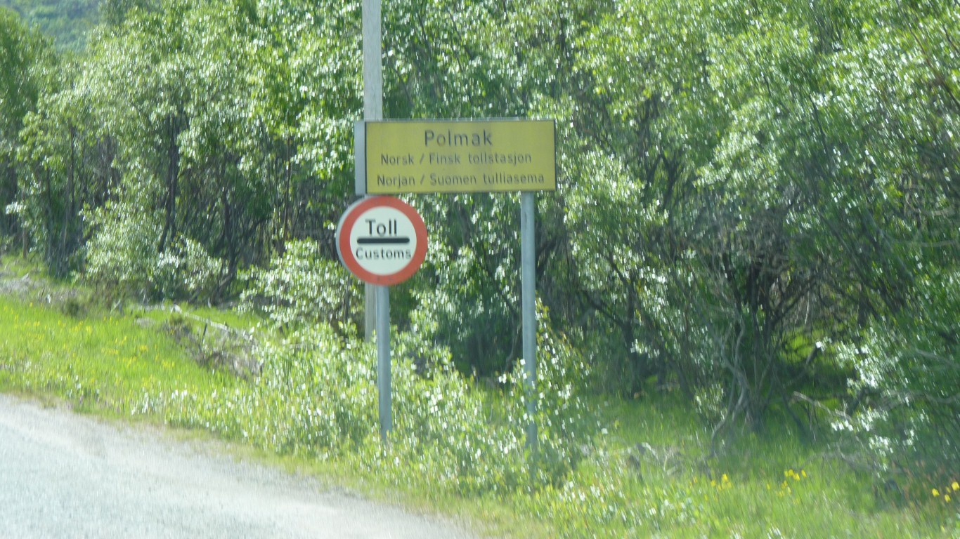
We concluded it was a leftover from when borders were viewed differently.
No sign of any officialdom.
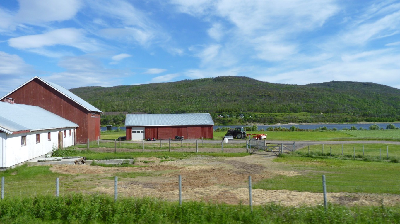
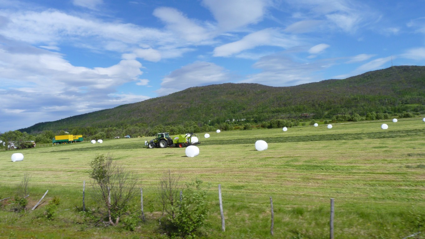
While the birch trees are shorter there's hay making and barns.
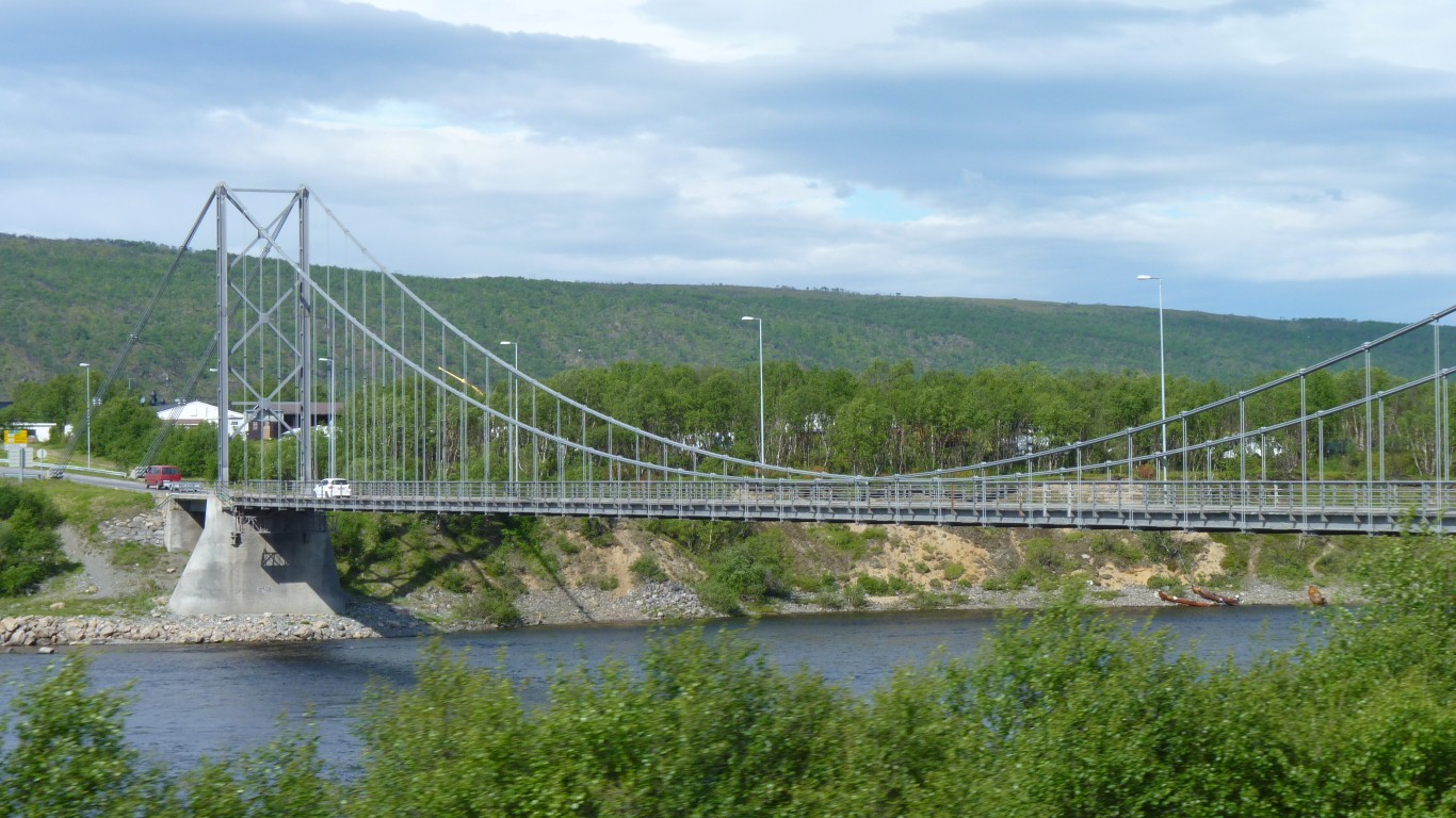
This bridge gets us across to Tanabru. Just guessing - Tana Bridge?
We had fast wi-fi in the shopping centre car park but not much luck finding a sim card. The salesperson "thought" mobile pay as you go internet was 10NKR (about A$1.50) per Mb. Cheaper to use the Swedish sim card at about A$3 for 20Mb in one day.
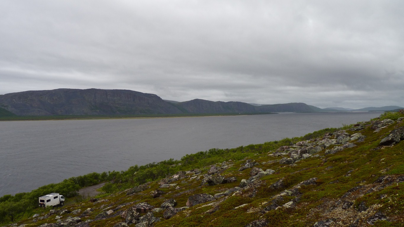
The car park at the end of the road.
There was even a sign for caravans.
We passed through Langnes which was a couple of houses.
Memories of Langness on the Isle Of Man. Probably connected by Vikings. Visiting it is now in Ali's "todo" list.
We looked for the pile of cars but they must be submerged.
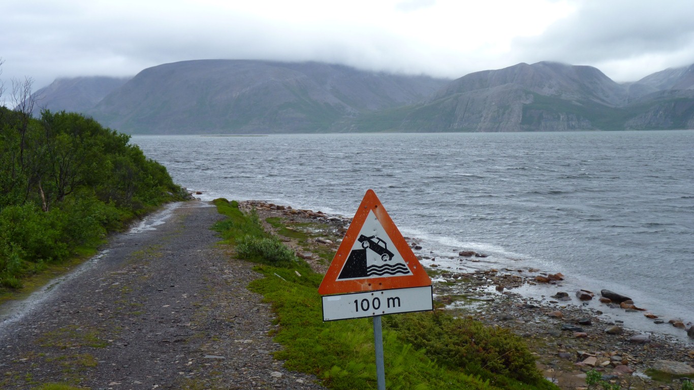
The sign had been shot a few times. Perhaps we've found the origin of the quaint Australian habit of shooting road signs in the outback.
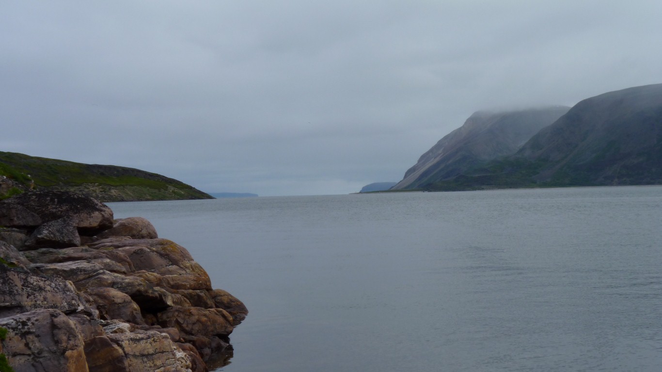
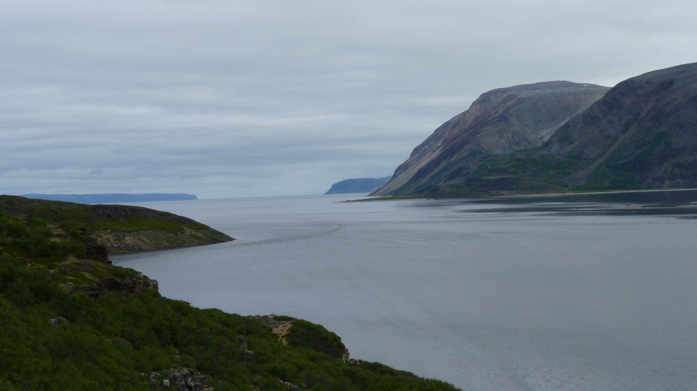
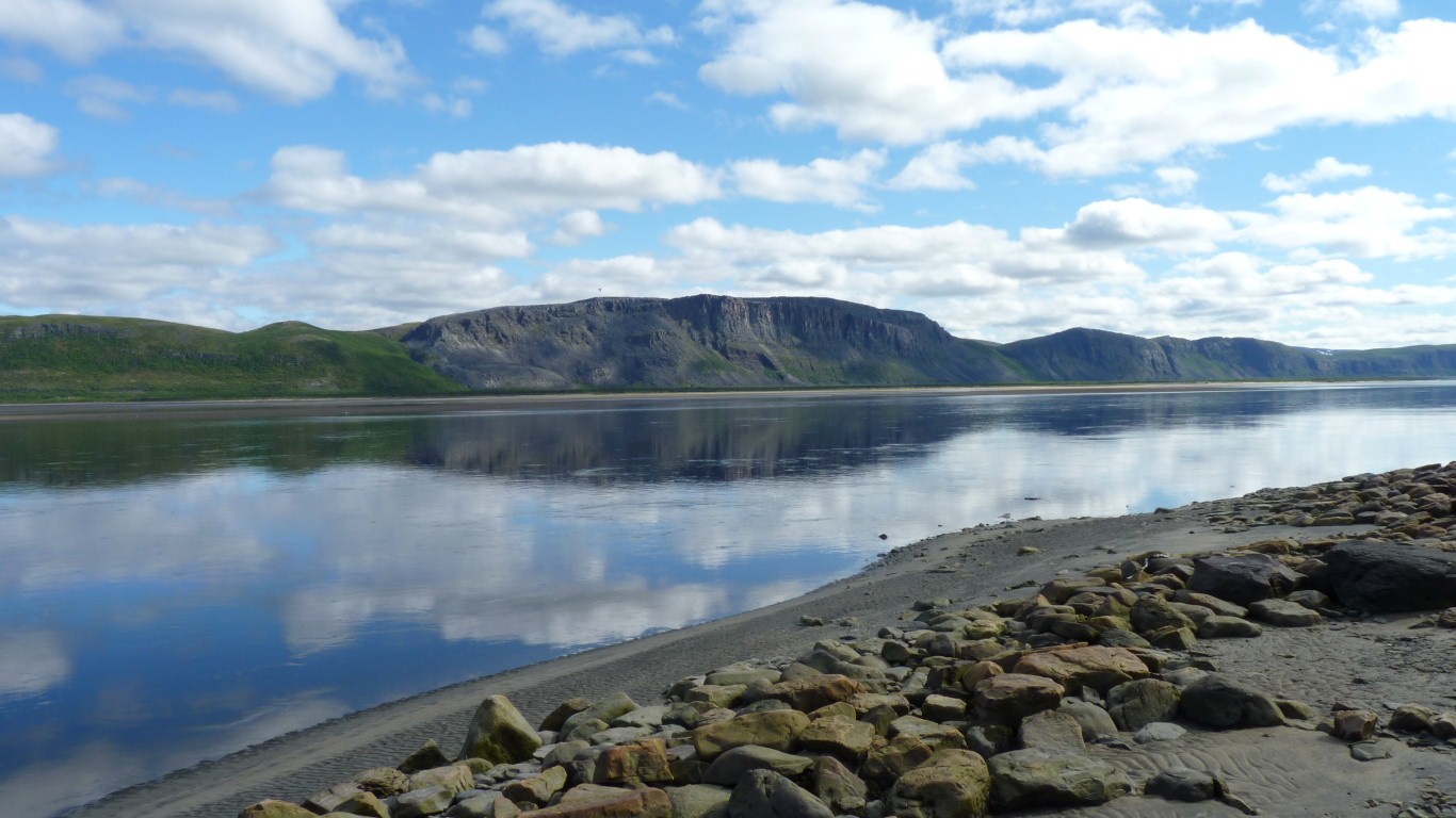
The nature reserve is the water not the land.
Our aim was to walk to the end of the penninsular. About 2 km.
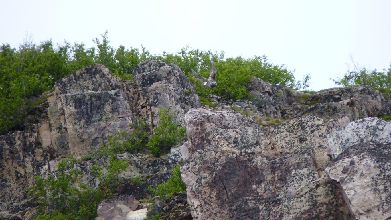
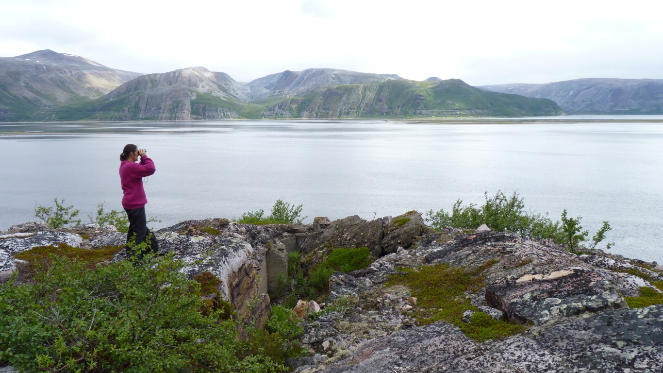
There's a largish bird of prey in this photo. Just taken off from the top of the cliff.
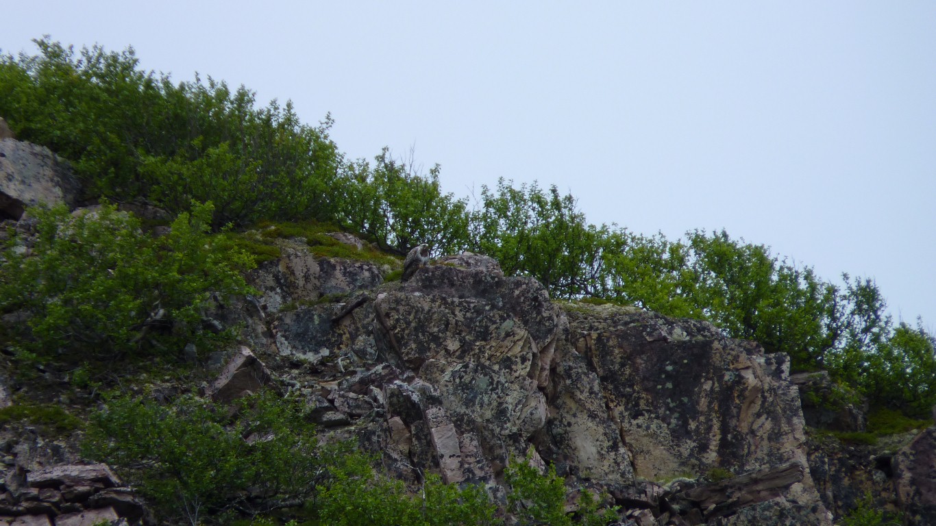
We watched it, and it watched us, for quite a while.
It looked much better through the binoculars.
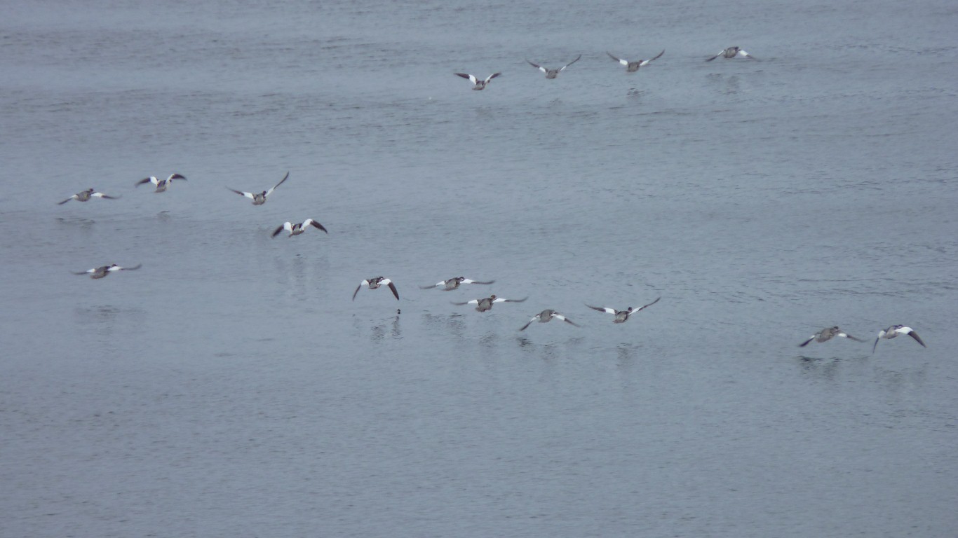
They always seem to be either flying or swimming away.
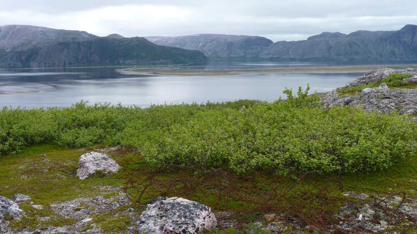
So we headed to higher ground.
Much easier walking.
Not sure what, but igneous and very fine grained.
There's a bit of concrete here. Remains of a WWII fortification.
Bits of very old military barbed wire around.
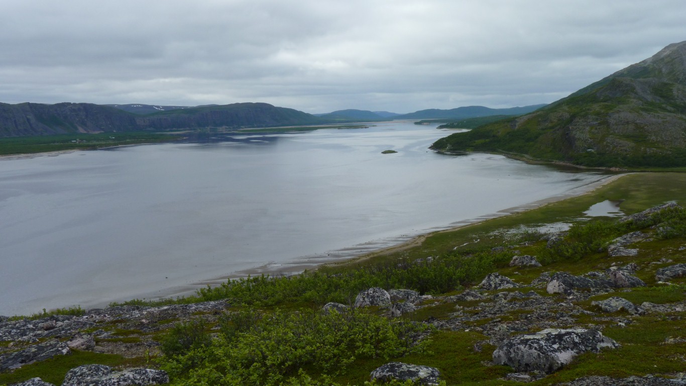
There's a track along the spit.
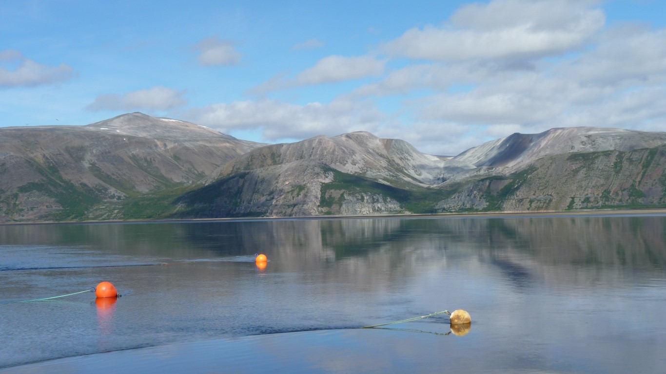
The tide was also nearly at its lowest. Less than a meter of rise and fall.
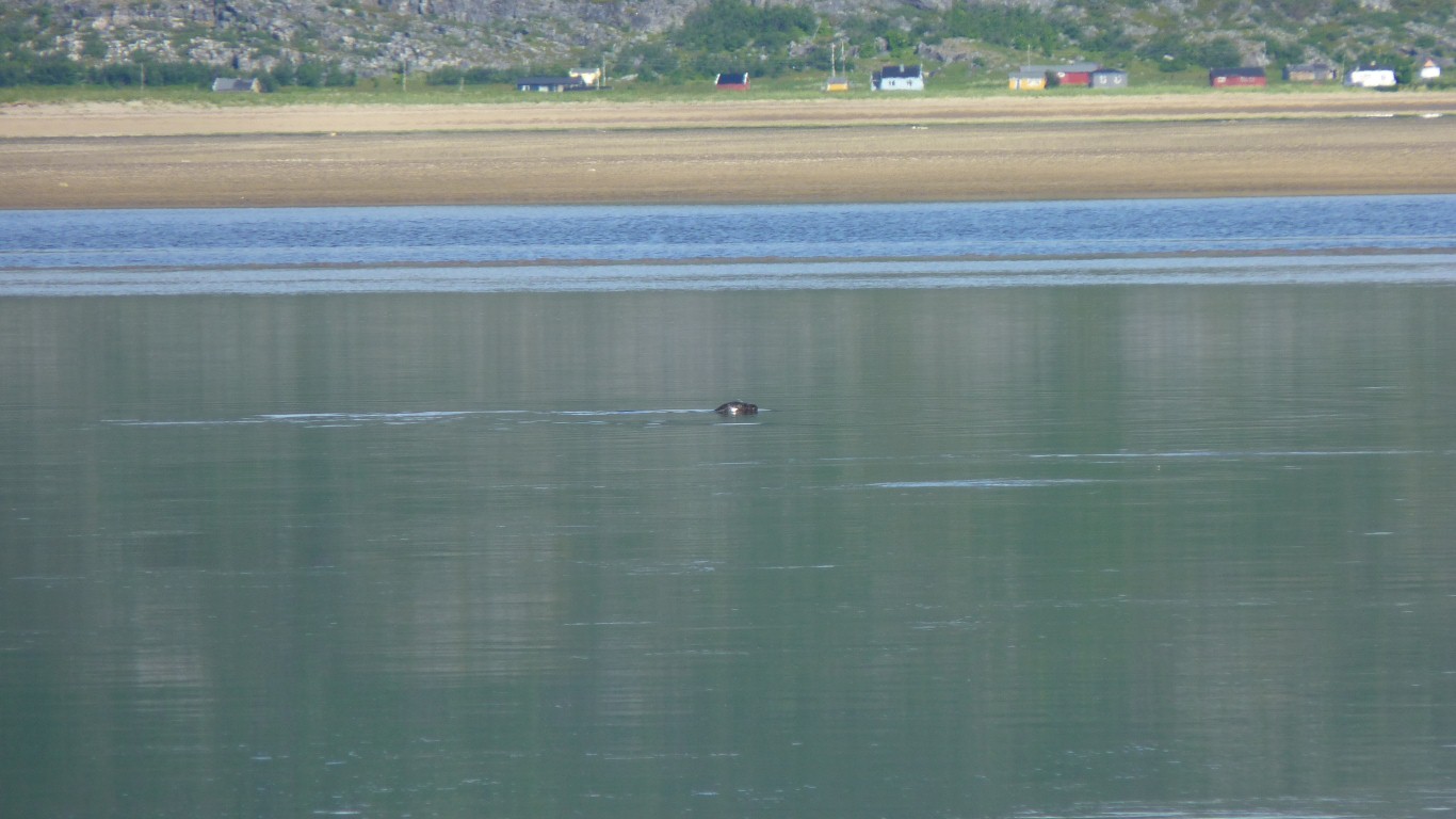
We'd wondered why there weren't any seagulls at the rapids where all the salmon fishing was happening.
They're all down river where we are. Fishing for themselves.
There were also several seals.
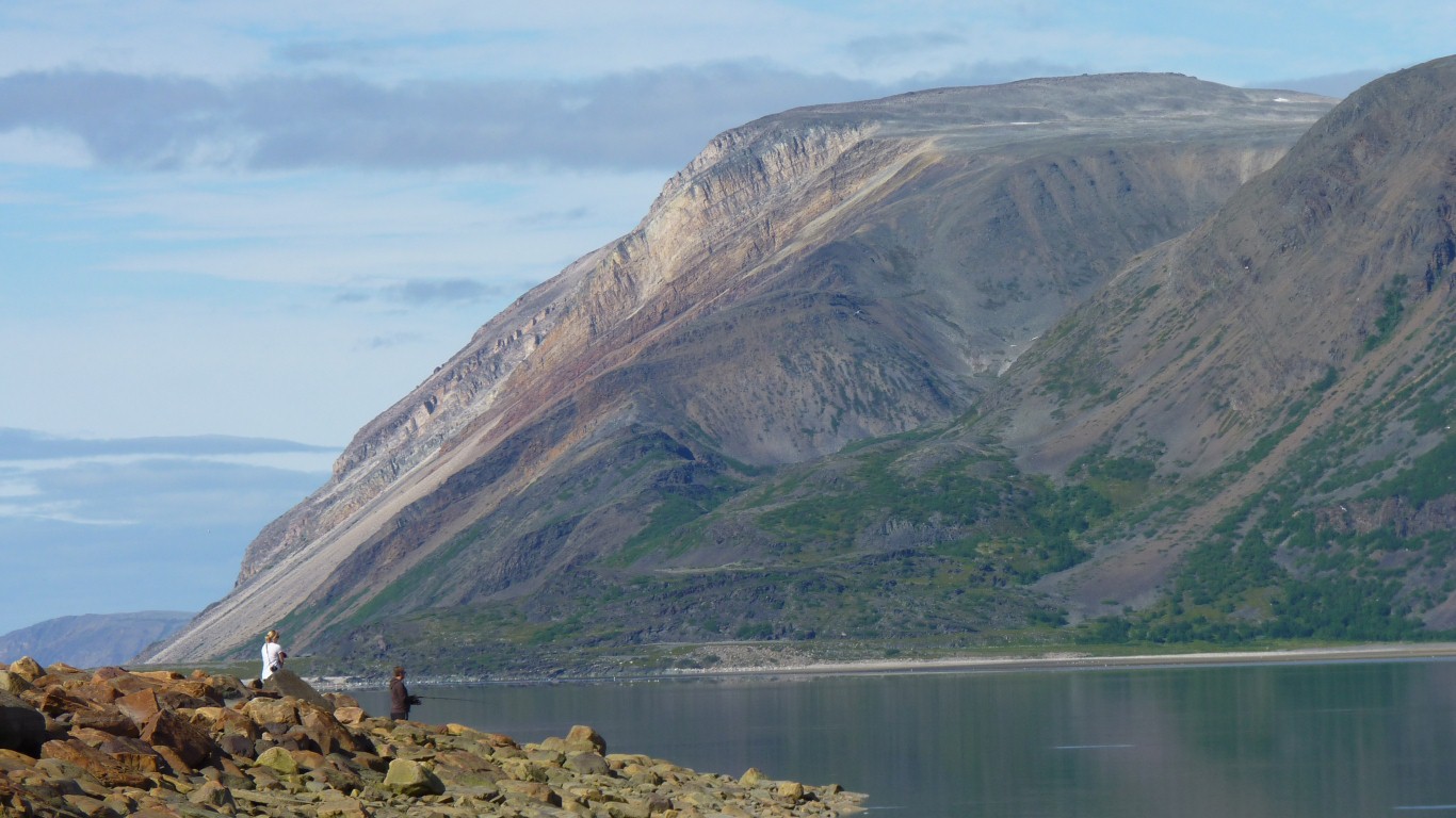
Opposite, the angled strata are very clear. Then abruptly stop. The rock further to the left looked like it was tipped almost vertically running away from us. Of course the marks could also be from the grinding of ice.
Fishing is not permitted in the reserve until after mid July.

This time the gull won.
The weather changed every few hours. The barometer could hardly keep up.