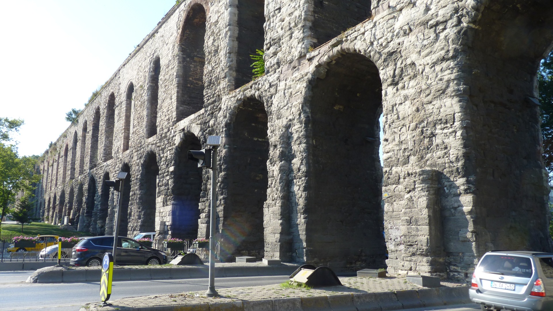
A bit out of the way but this is the aquaduct.
There's a dip in the ridge between the source of water and the palace.
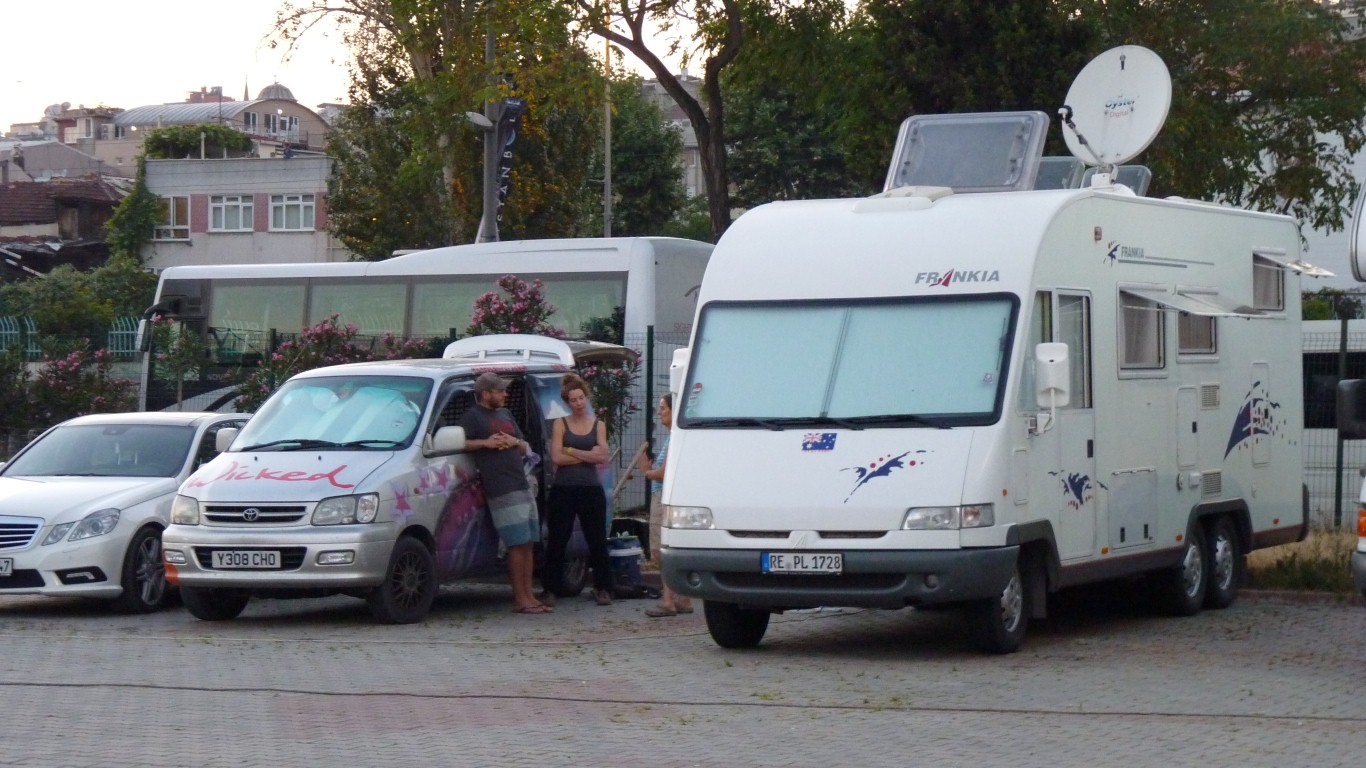
And a couple of Aussies who thought to cover it up a bit for a trip through a Muslim country.
On the right is another Aussie couple in German registered motorhome. From Gladstone.
Only a few others in the sports club car park.
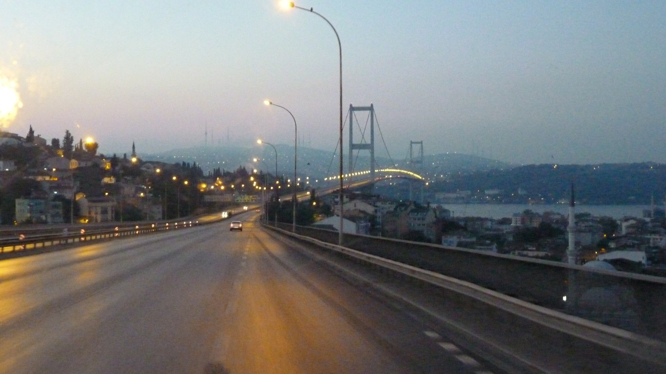
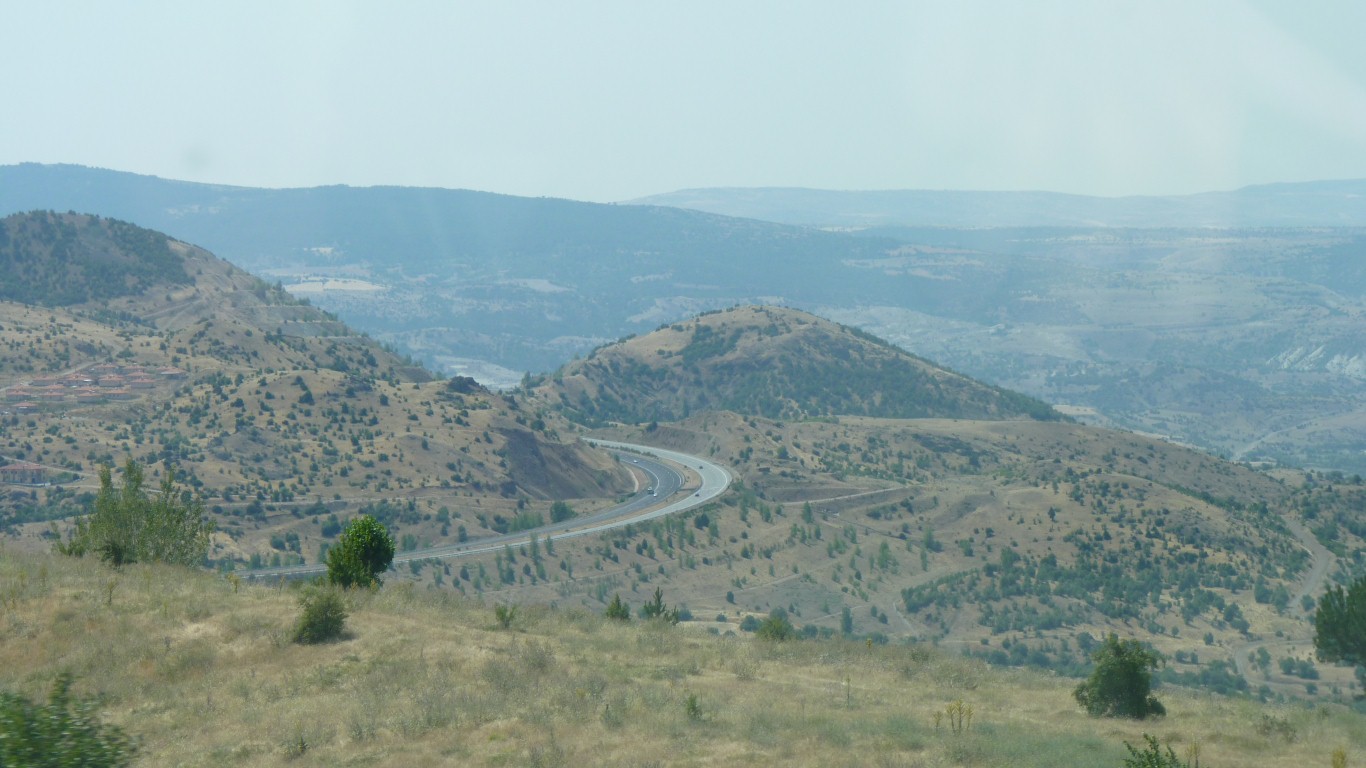
Out of Istanbul before the traffic starts.
Plus we have a bit of catching up to do.
Not serious, we are a week behind the plan.
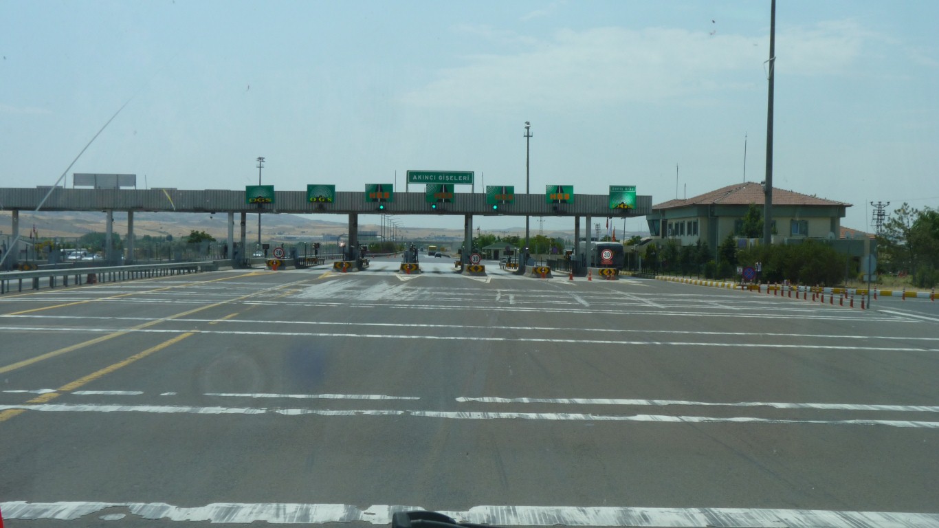
We've learned that HGS and OGS are two different toll companies.
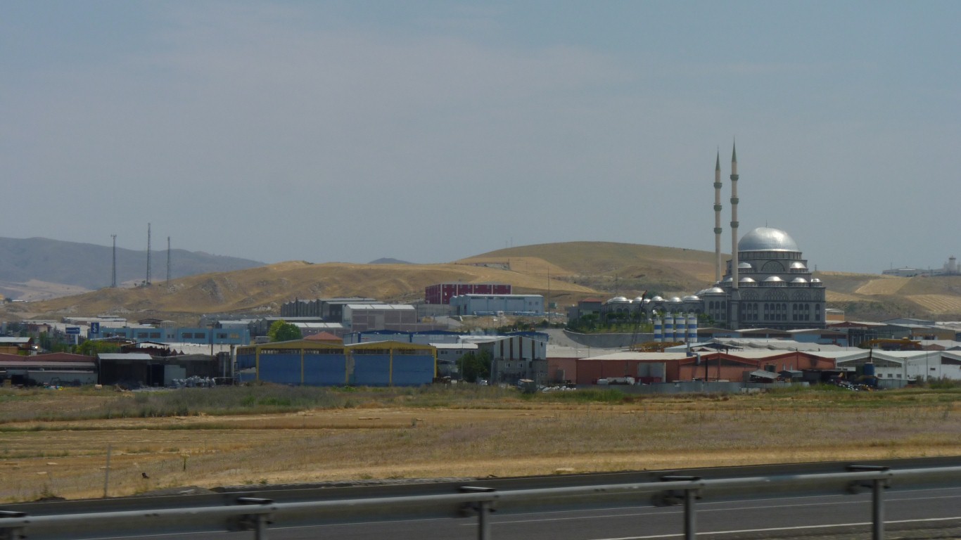
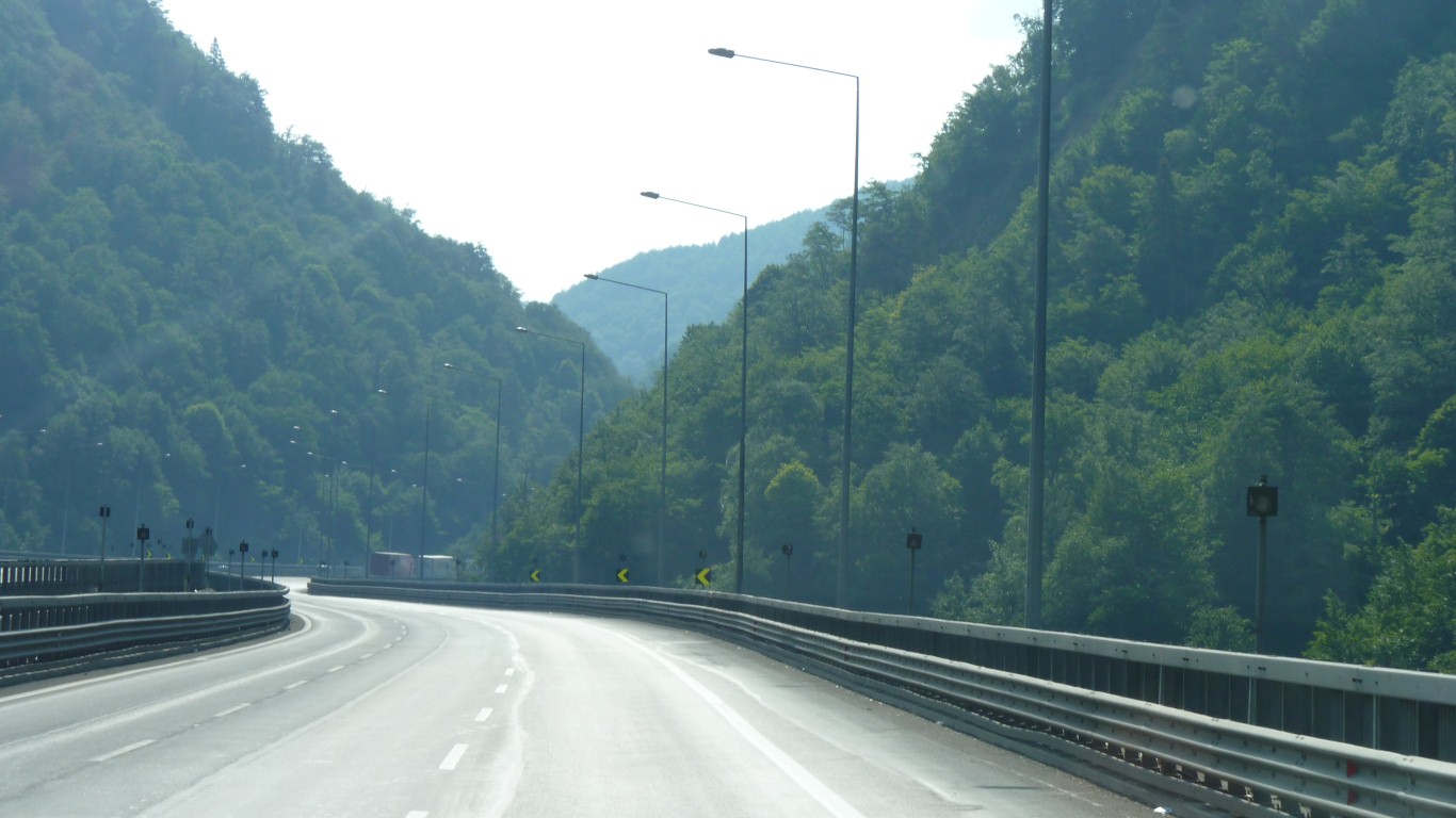
This one seemed to be in an industrial area.
In Hagia Sophia the arches supporting the dome didn't have any intermediate supports.
There were "half domes" outwards from the arches, which in turn were buttressed.
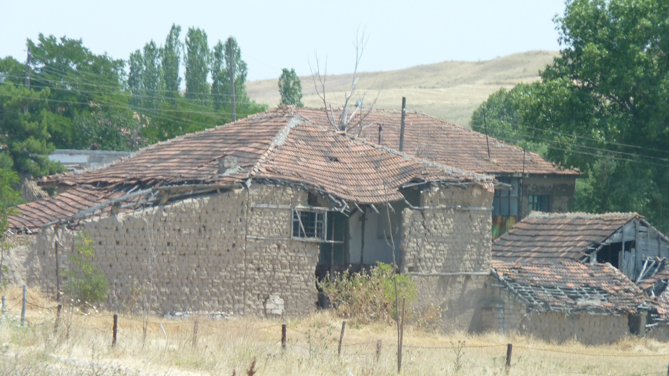
Mud bricks again.
And other grains.
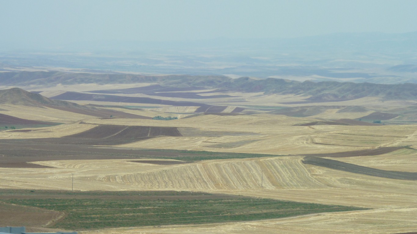
Part of the system of city states that pervades this part of the Mediterranean.
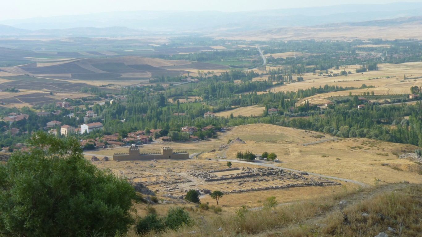
There's a "free information" place on the way to the ticket office. Trying to sell tractor / trailer tours.
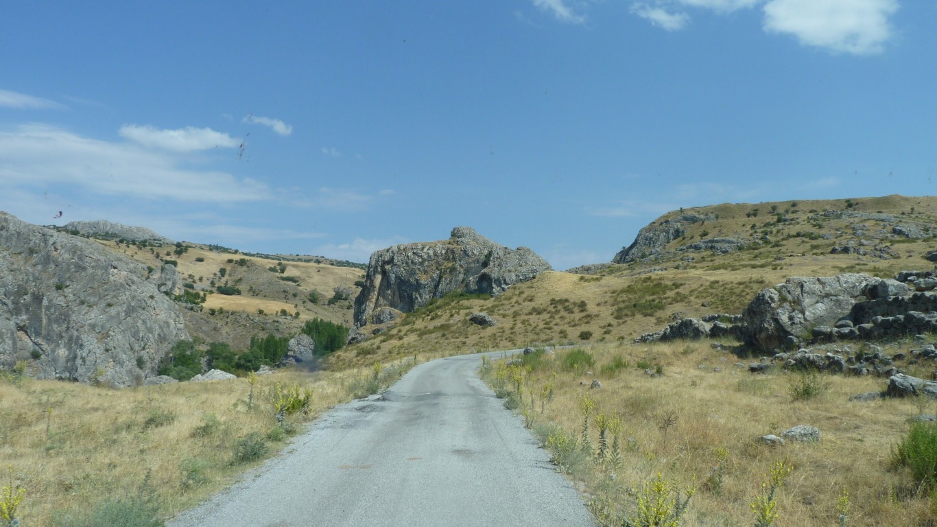
We drove ourselves. A very reasonable 5TL entry fee. A booklet. And about 5km of road circuit.
The last Hittite King was Supiluliuma II around 1200 BC.
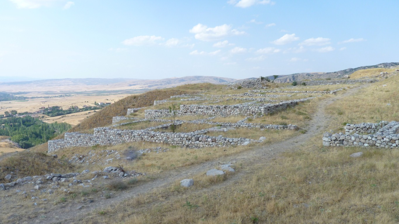
Settlement has been traced back to 3rd millenium BC.
I worked backwards because the archeologists like to claim great age for their finds but here have been vague about the upper layers.
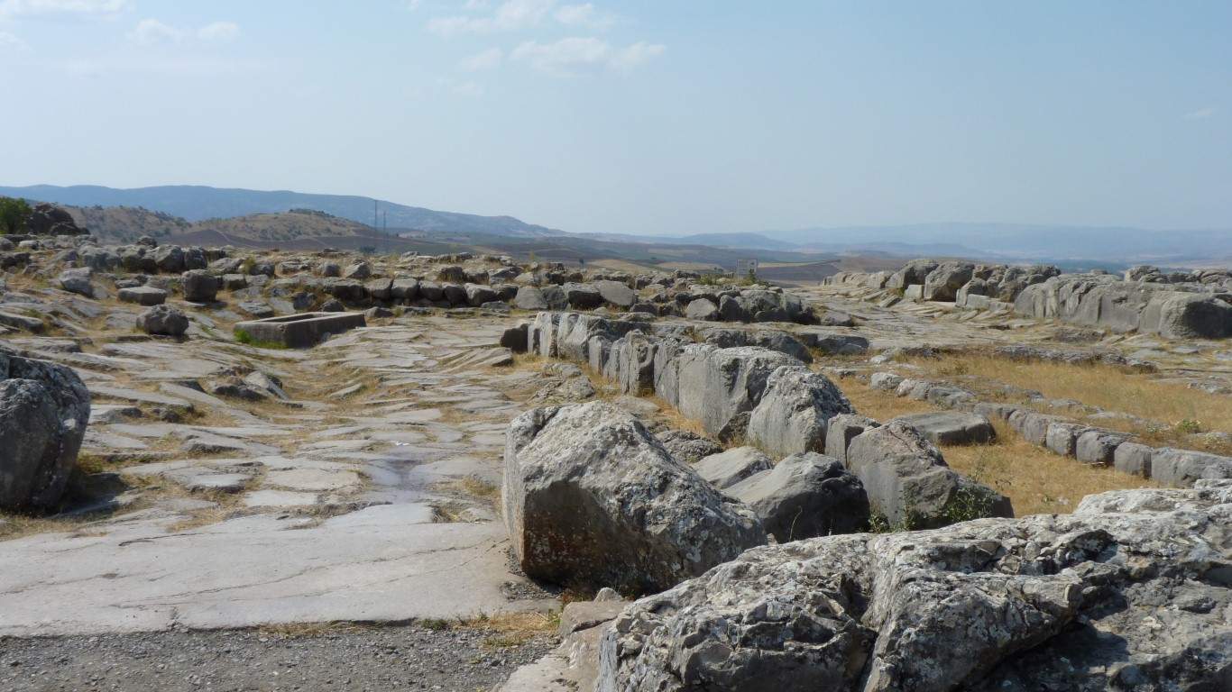
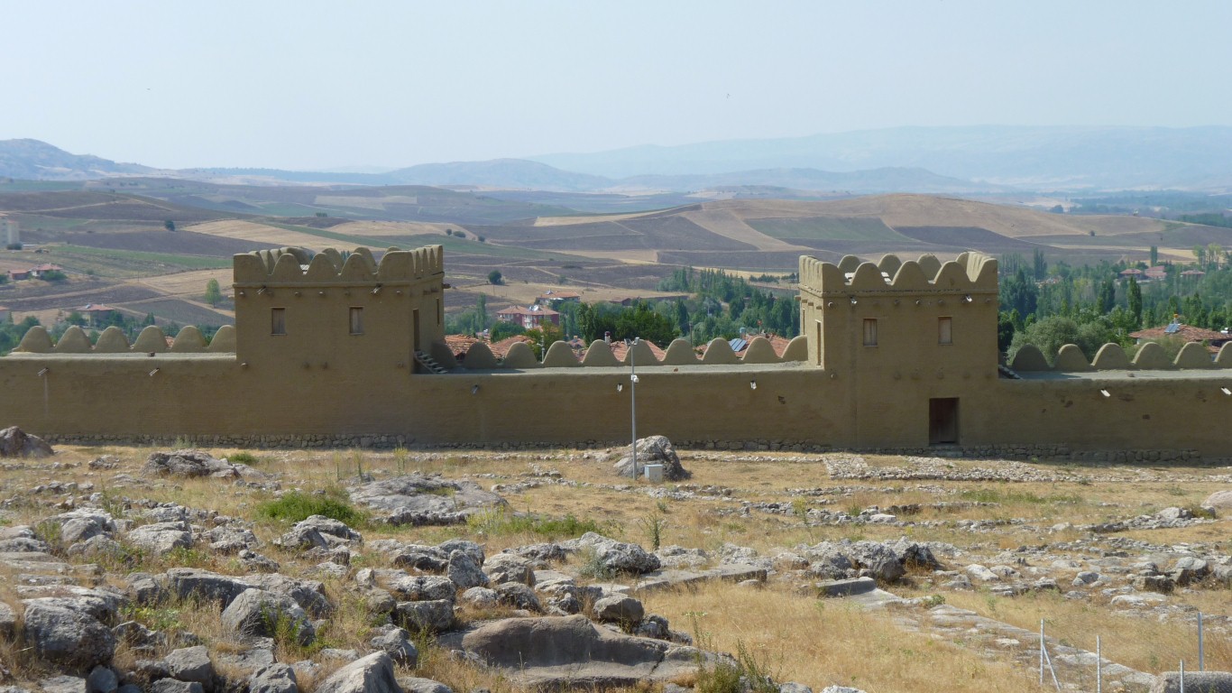
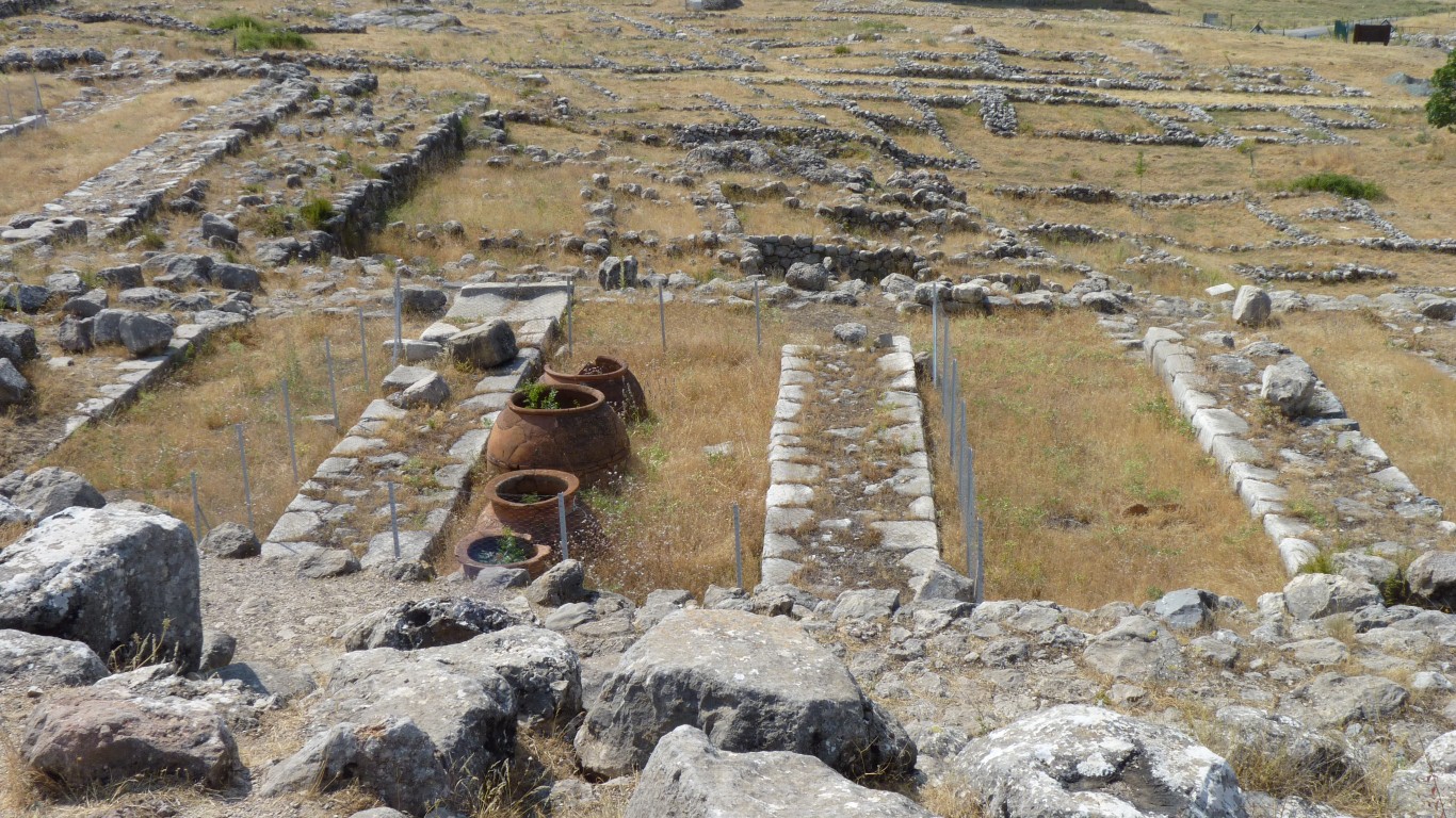
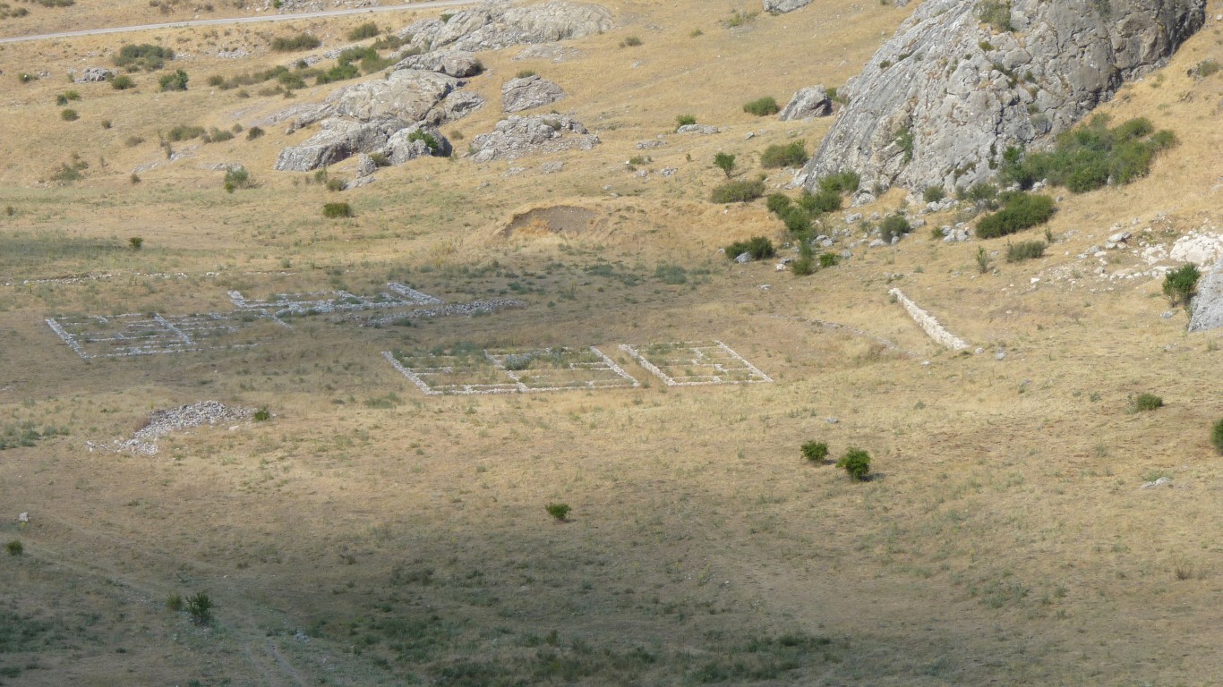
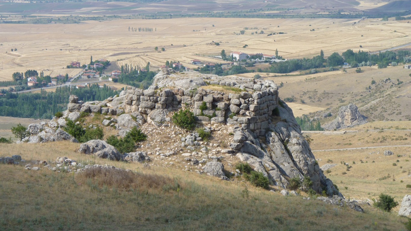
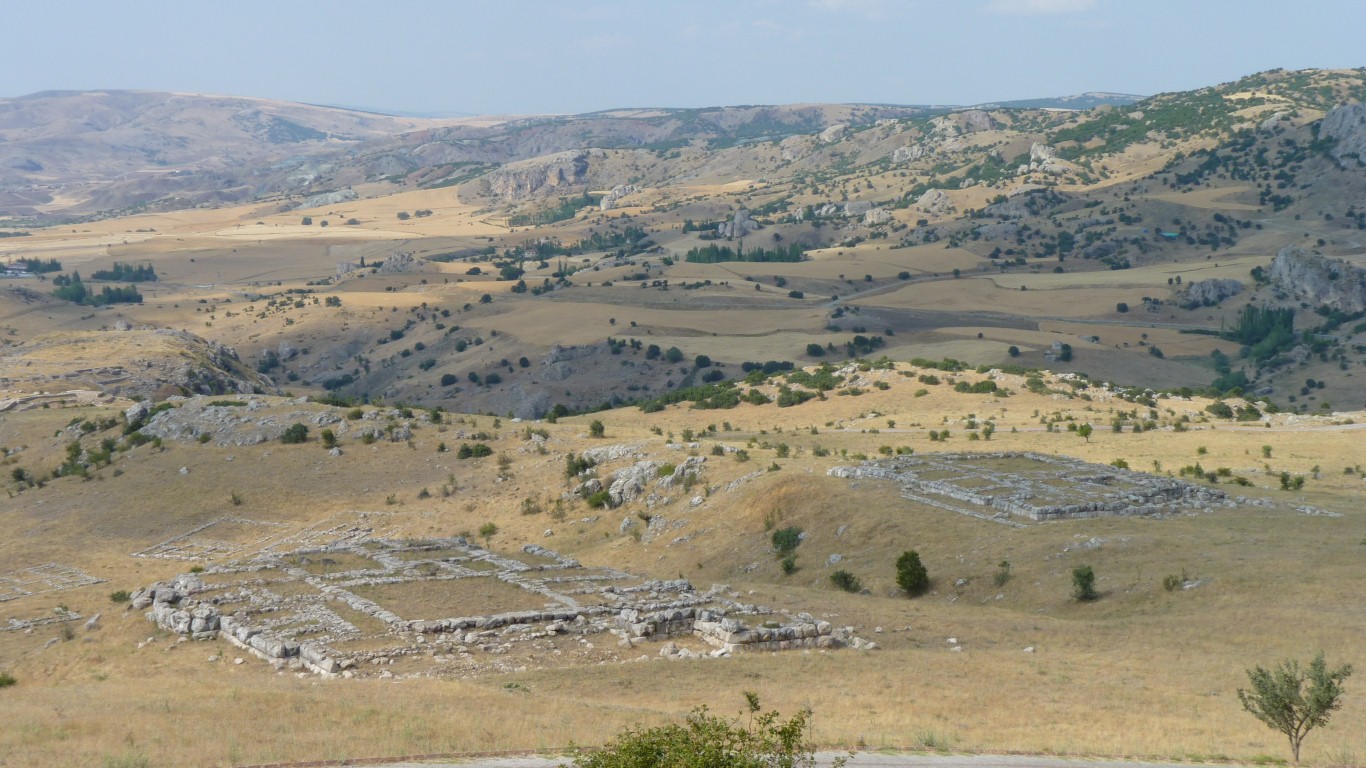
This is the Lower Town and the Great Temple.
When the Hittites arrived around two thousand BC the Hattians were already here.
Then the Hittites. Then the Greeks, Romans, and Turks.
The Kadesh Peace Treaty, signed in 1269 BC between Hattushili III and the Egyptian Ramises II was the first written (cuneiform) peace treaty which still exists (in the Istanbul Museum).
In any of the signs or leaflet that is.
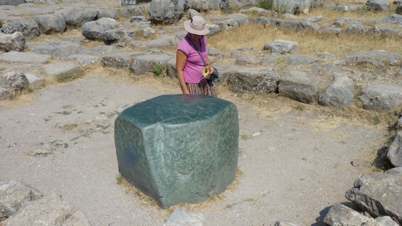
Possibly some form of nephrite (jade / greenstone).
It looks most out of place among the limestone though we did find smaller fragments.
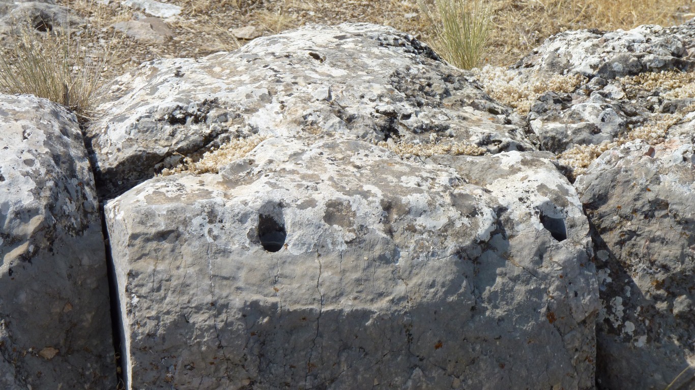
That's how many mud bricks the experimental archaeologists needed to build this section of wall.
I'm not sure with the accuracy of the parabolic ramparts, but they are certainly distinctive.
And who am I to say!
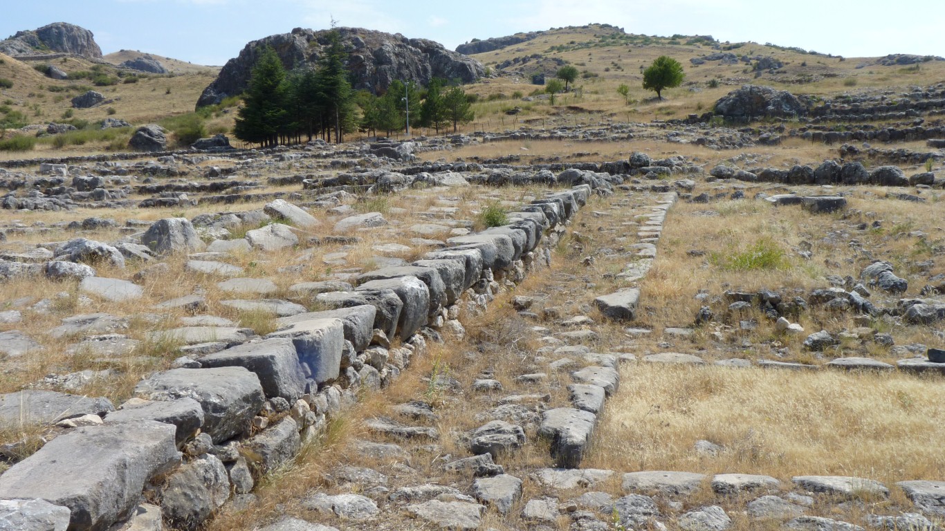
The foundations are stone. With paths laid out.
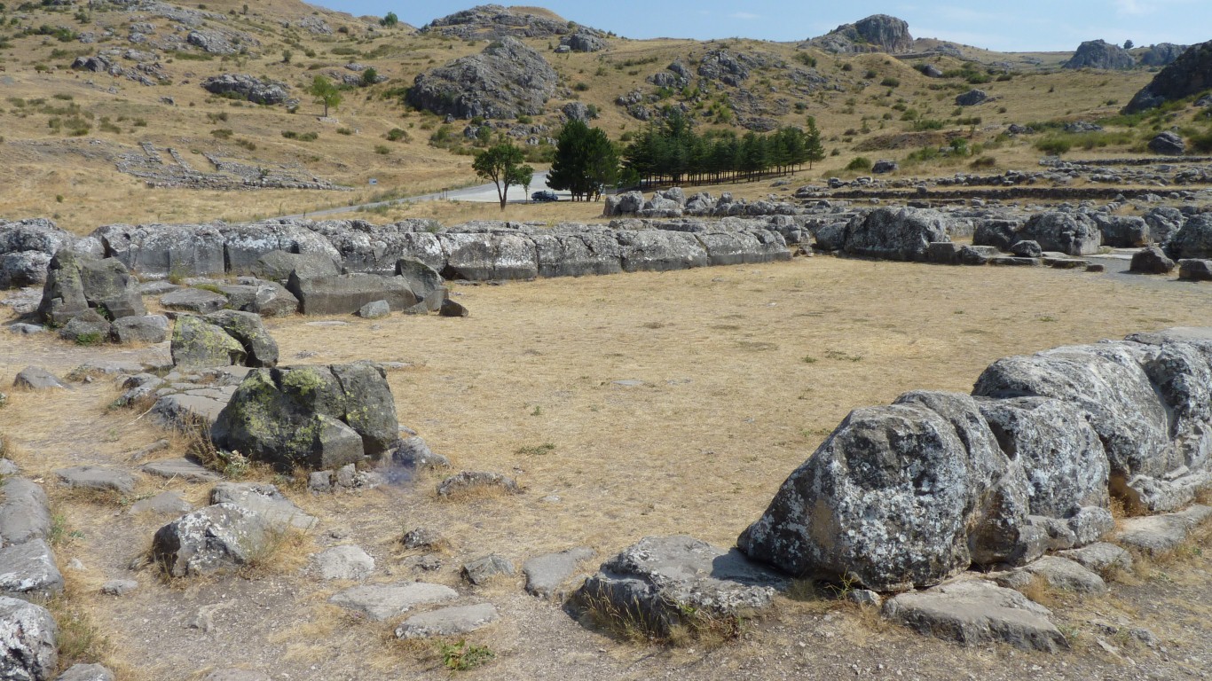
The walls and roof would have been wood.
The curve of the arch is about parabolic.
Not at all like our truck springs.
Methinks the stones either side have been restored by different people.
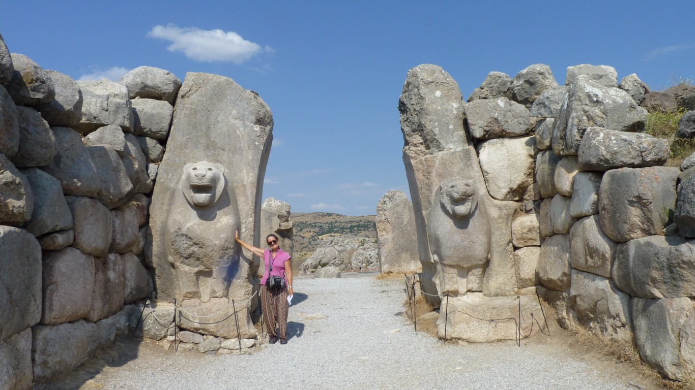
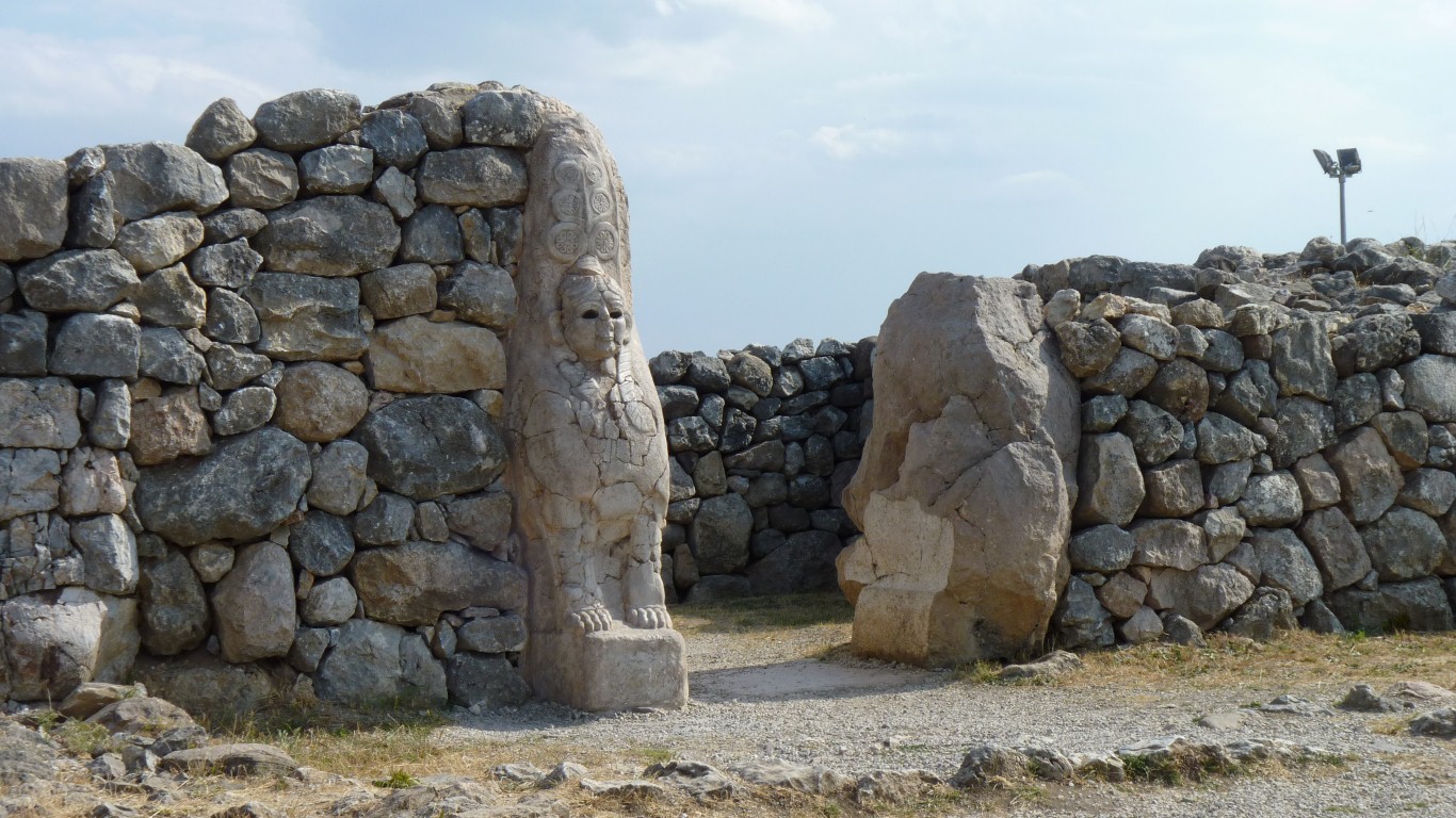
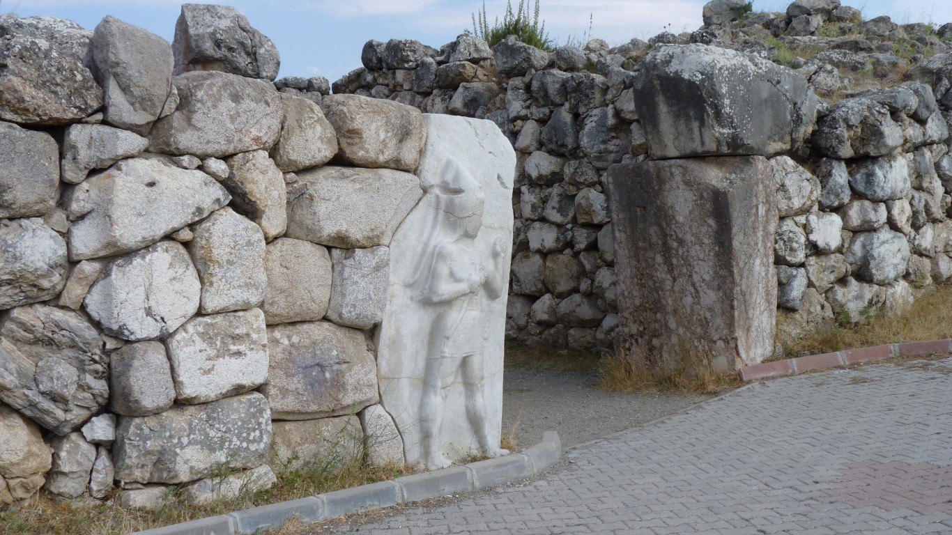
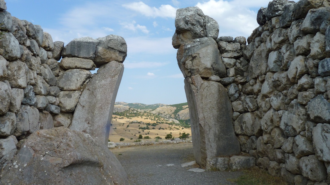
The Sphinx Gate is at the high point.
Two of the sphinxes were taken to the Berlin Museum in 1907 for restoration. One was returned to Istanbul in 1924. Both are now in the local museum in Bogazkale.
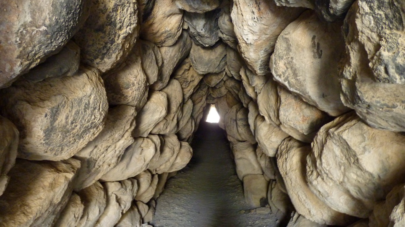
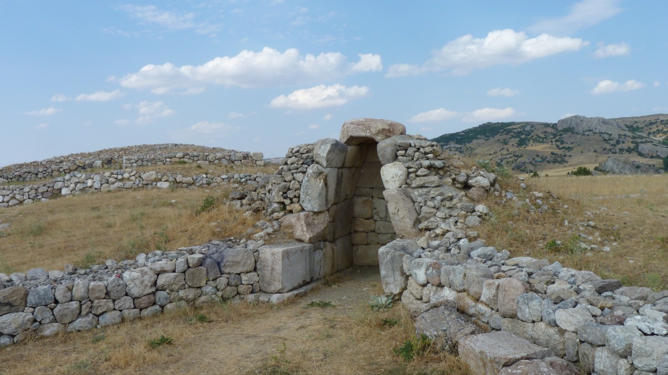
Under it is a tunnel.
Easy to walk through upright.
My guess it was to save people the effort of climbing over Yerkapi.
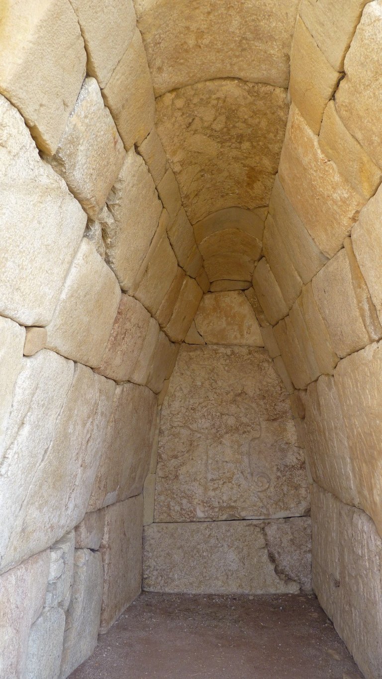
The stone carving is a cast of the original.
This is "cult chamber 1".
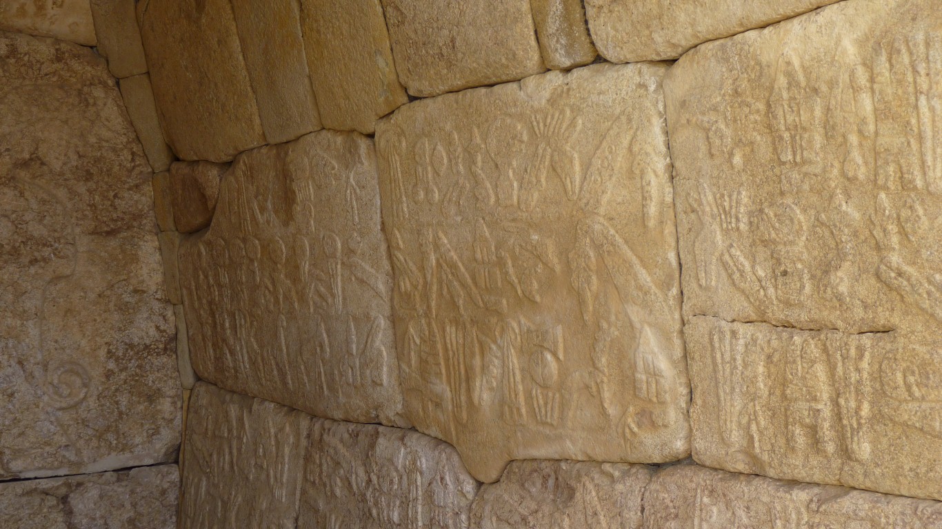
Built by Supiluliuma II around 1200 BC.
It records conquests and other personal achievements, as Kings are wont to do.
Though I think archeologists may not be mathematicians. Or the Hittite architects and stone masons not that precise.
Roughly y = -0.5x2
Though its not a very good fit. Its hard to find a parabola that would be parallel near the floor and relatively sharp at the apex.
The back wall has a depiction of an unnamed god, in a cloak with a winged sun disc above his head.
The Hittites were polytheistic.
13th century BC.
We've driven 672 km today. Our third longest day of the entire trip.
Tomorrow will be similar on the way to Nemrut Dagi. Though we expect less good roads.
The China Visa episode was a bit like being swallowed by a snake. Now we are in search of ladders.
We are camped at the roadside a bit south of Hattusa.