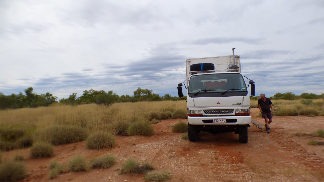
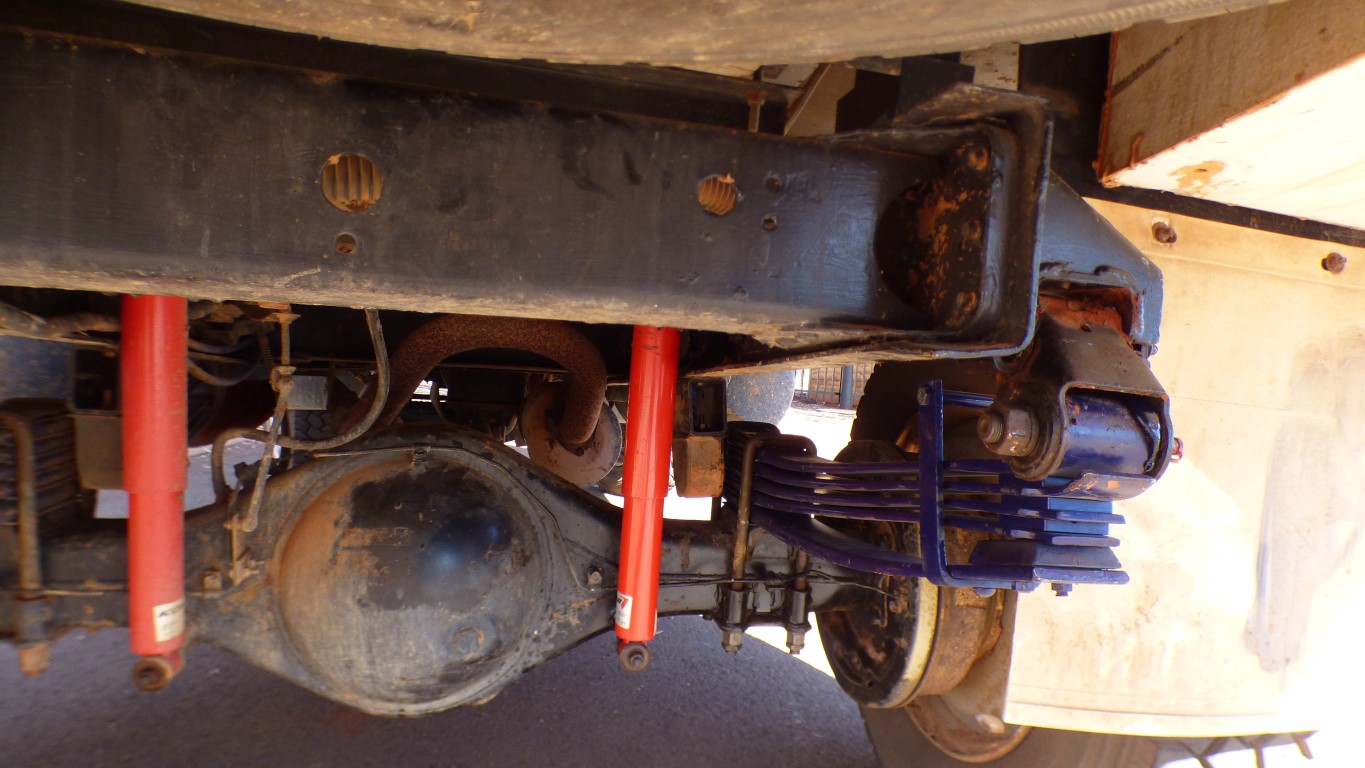
Some of the twist in the truck is due to the camera lens and angle, some is due to the ground we are sat on, and some is due to the broken spring.
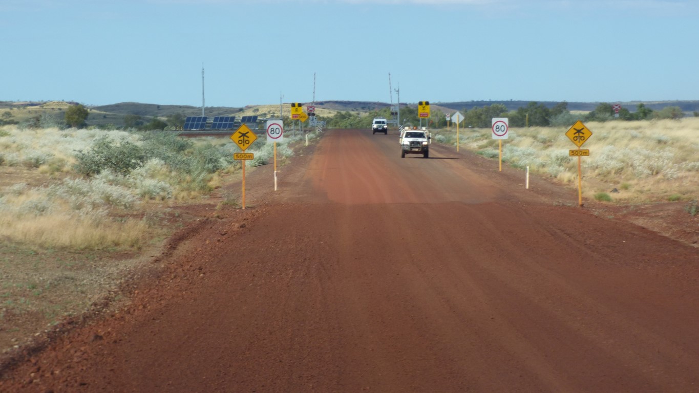
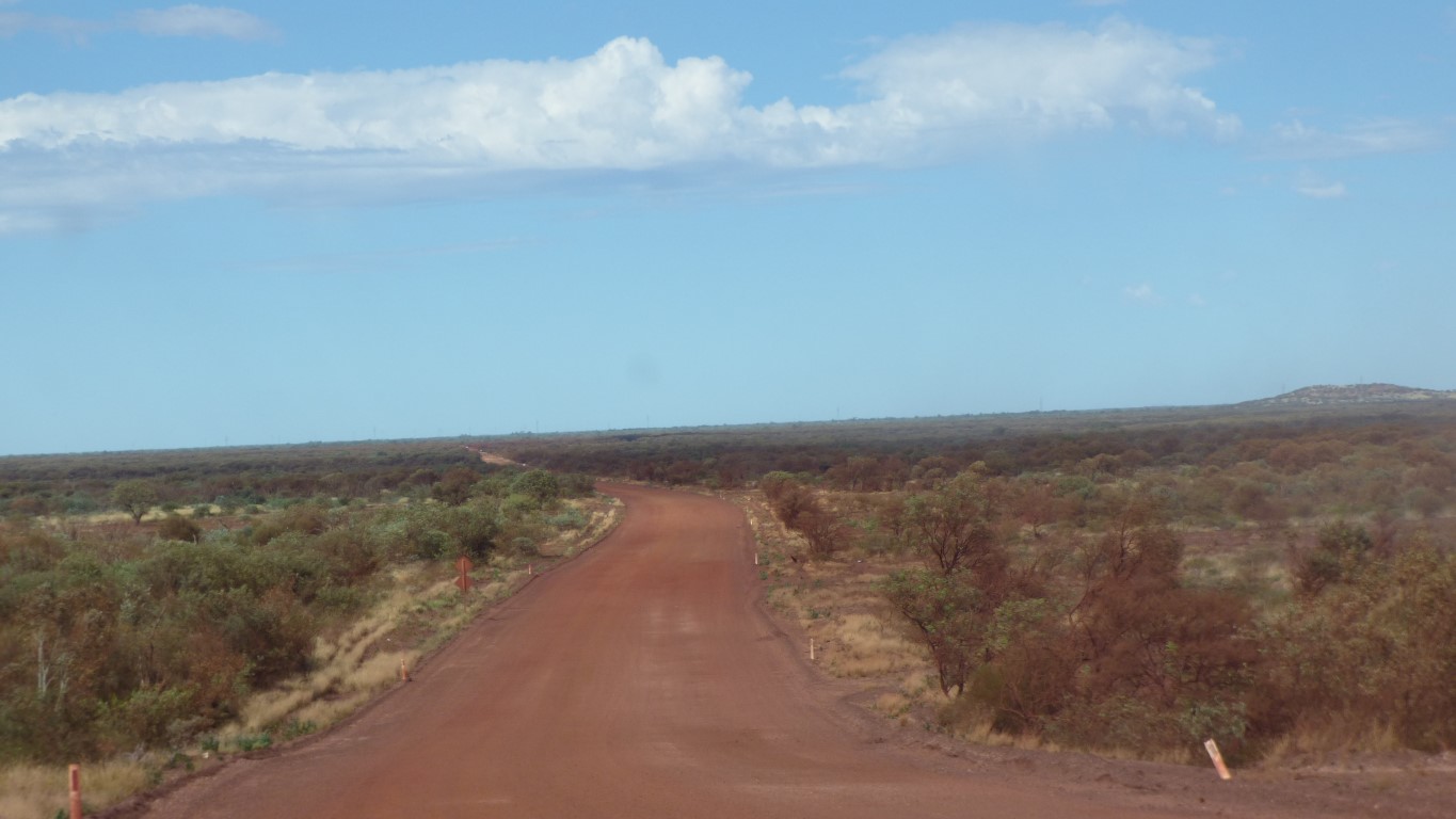
We have about 225 km to Newman on hopefully good road.
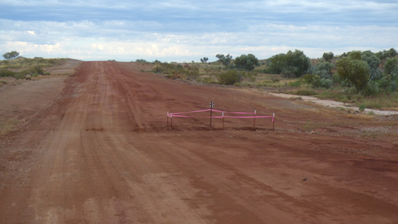
With a few washouts, marked by pink ribbon as well as the regulation little black and white rectangle.
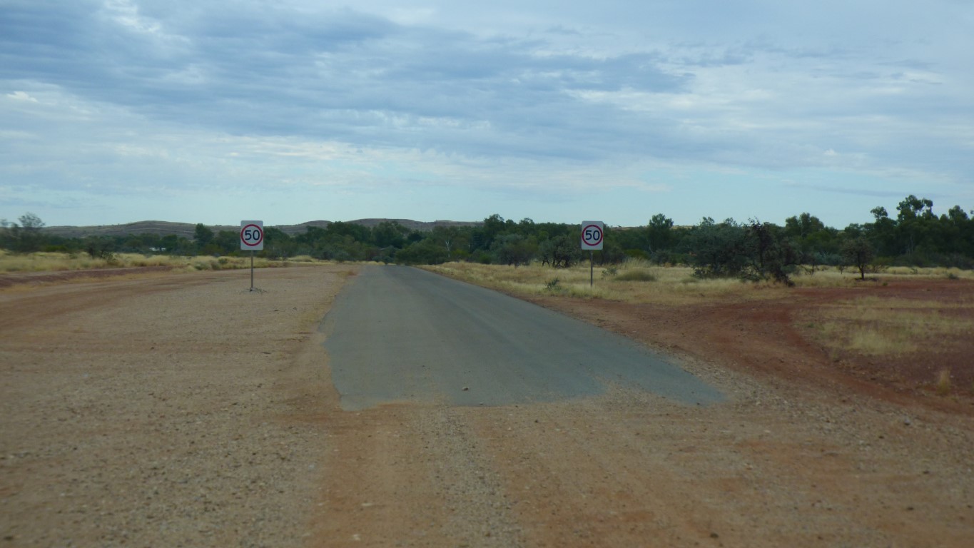
A little pressure on the accelerator and we can reach 50 km/h.
But it seems awfully fast.
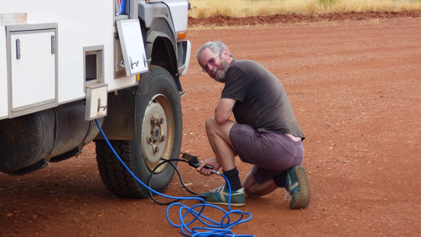
If we wish to travel at speeds above 50 km/hr for long periods we need more air in the tyres. Otherwise they become too hot and self destruct.
They will absorb fewer bumps.
We have mobile phone reception so can firm up arrangements in Newman.
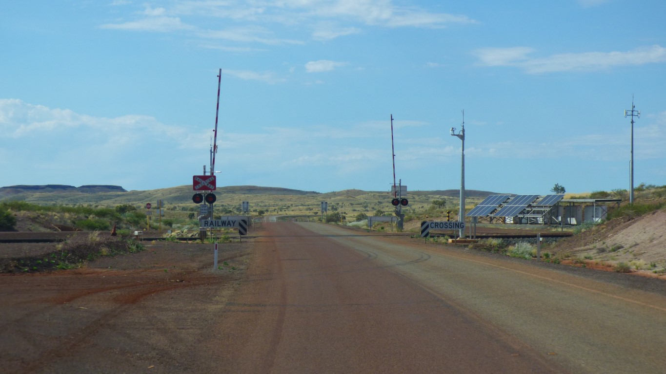
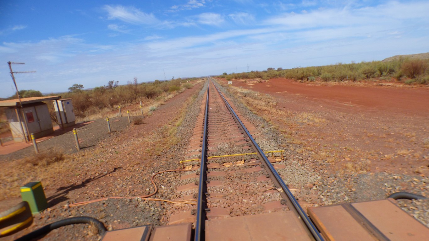
And a level crossing. Across a seriously heavy iron ore rail line.
We can travel at 50 - 60 km/hr.
Carefully.
Beautifully engineered and smooth.
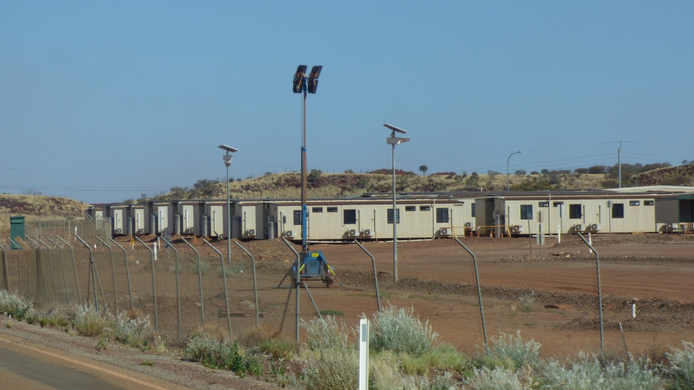
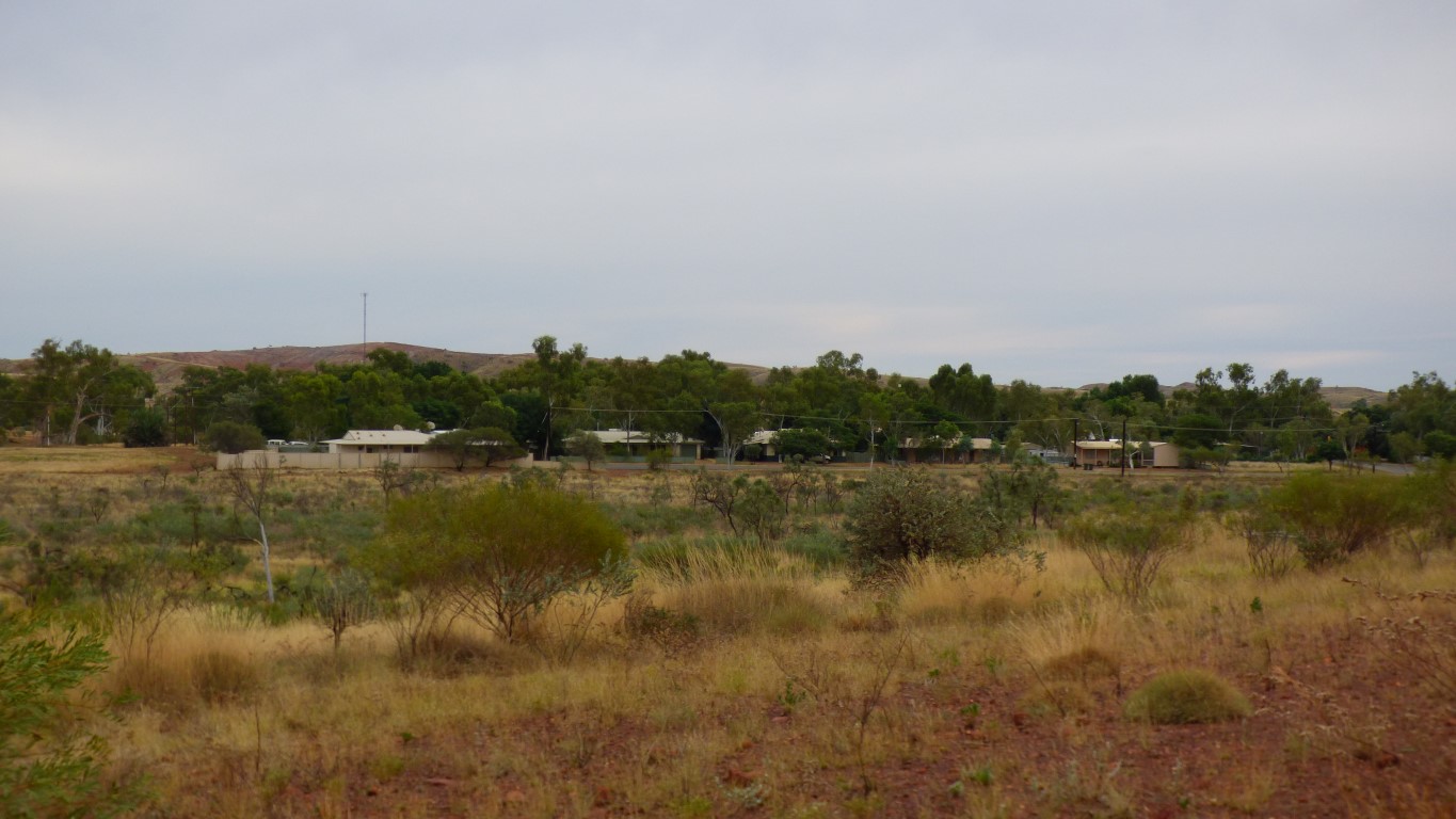
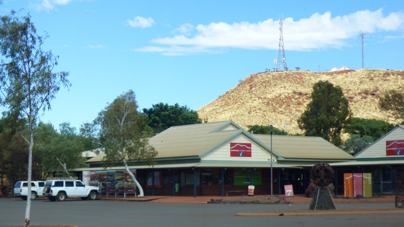
This is part of the village.
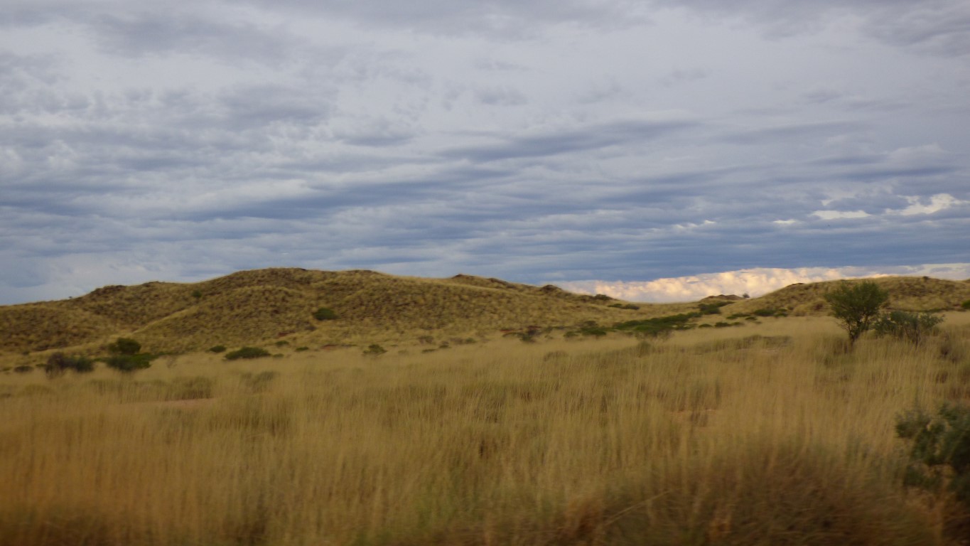
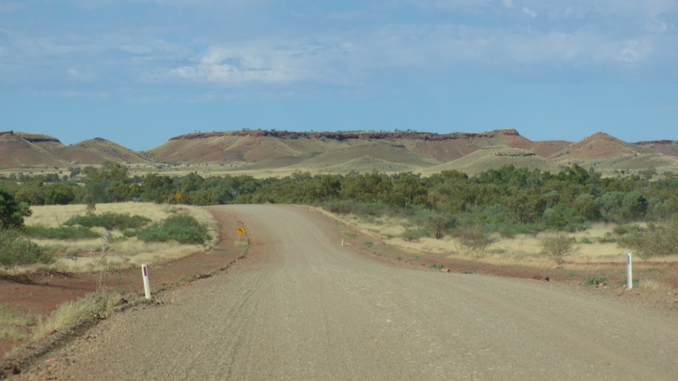
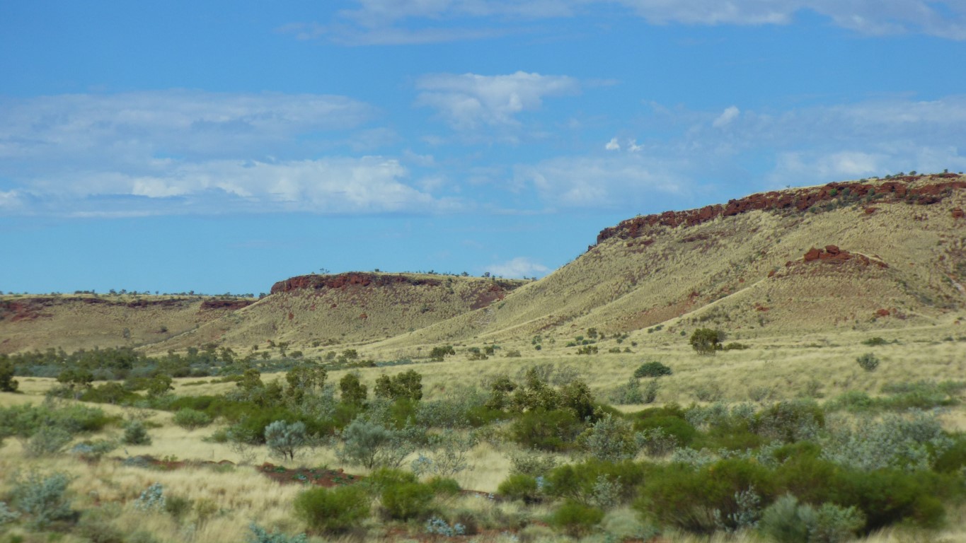
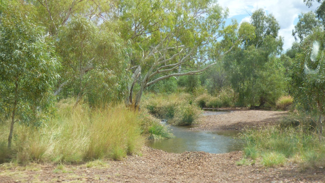
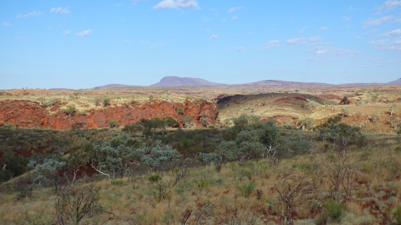
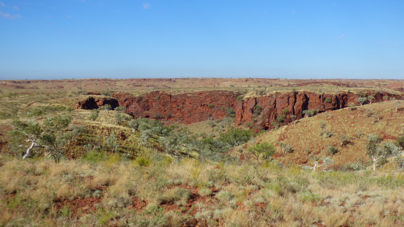
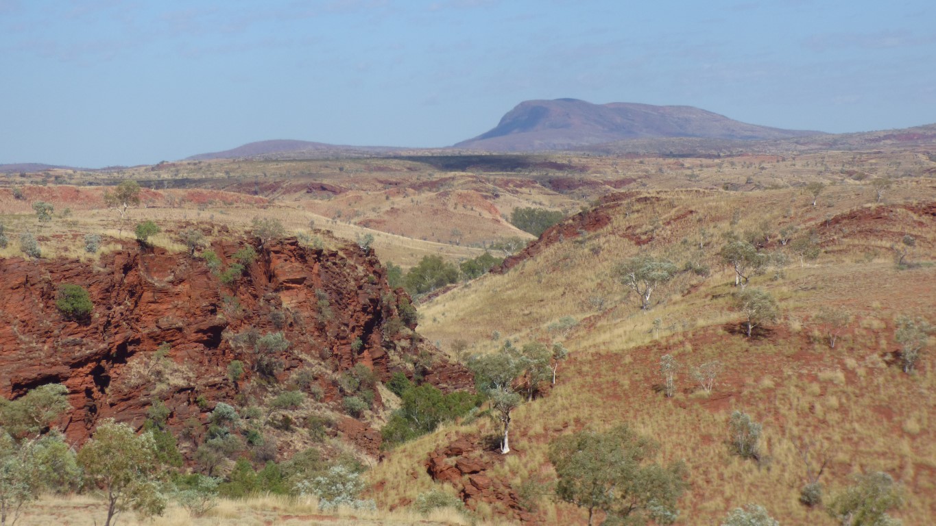
Flood plain for the Fortescue River.
To the west (right) is Foretescue Marsh. A vast plain.
We expect to see quite a bit of the Fortescue River in coming days.
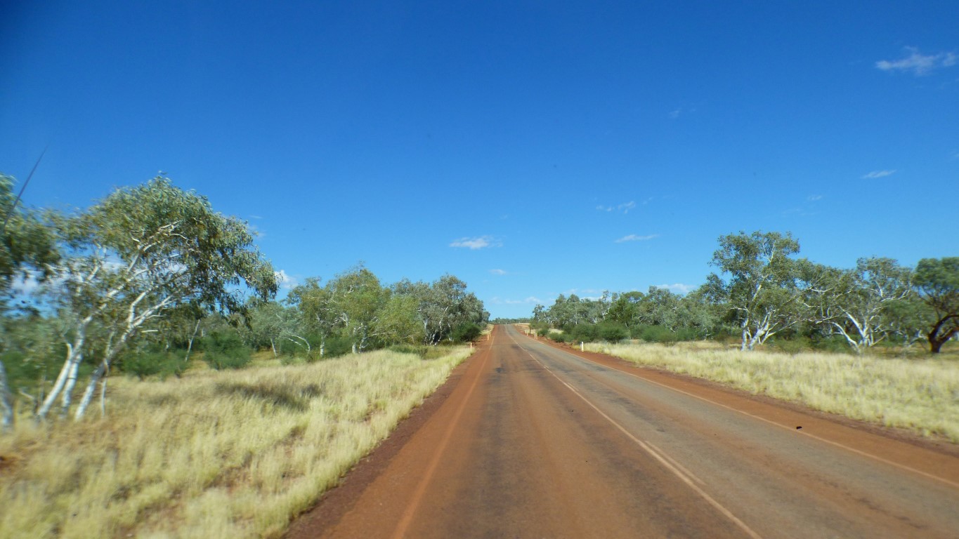
Sealed road.
We can travel the same speed in a bit more comfort.
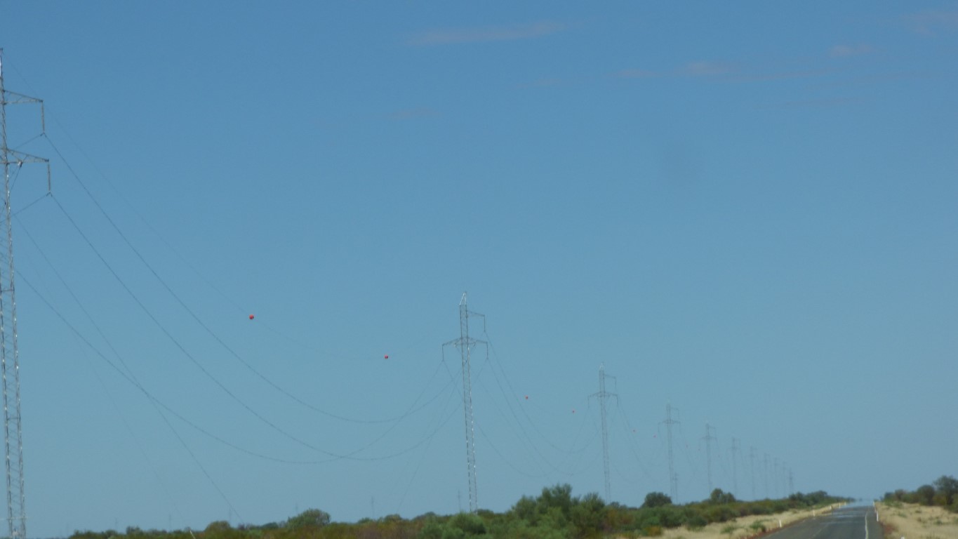
The power pylons are about 500m apart.
Long curved loops of power line.
Most of the pylons are balanced precariously on a single point with guy wires to hold them vertical.
Occasionally, a conventional pylon with four legs, such as when there is a change of direction or the line simply needs a bit of stability.
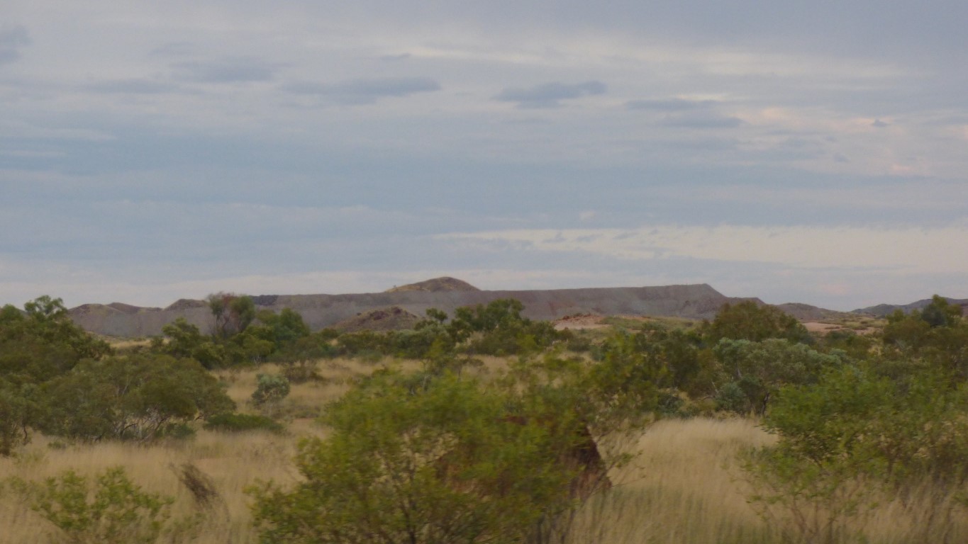
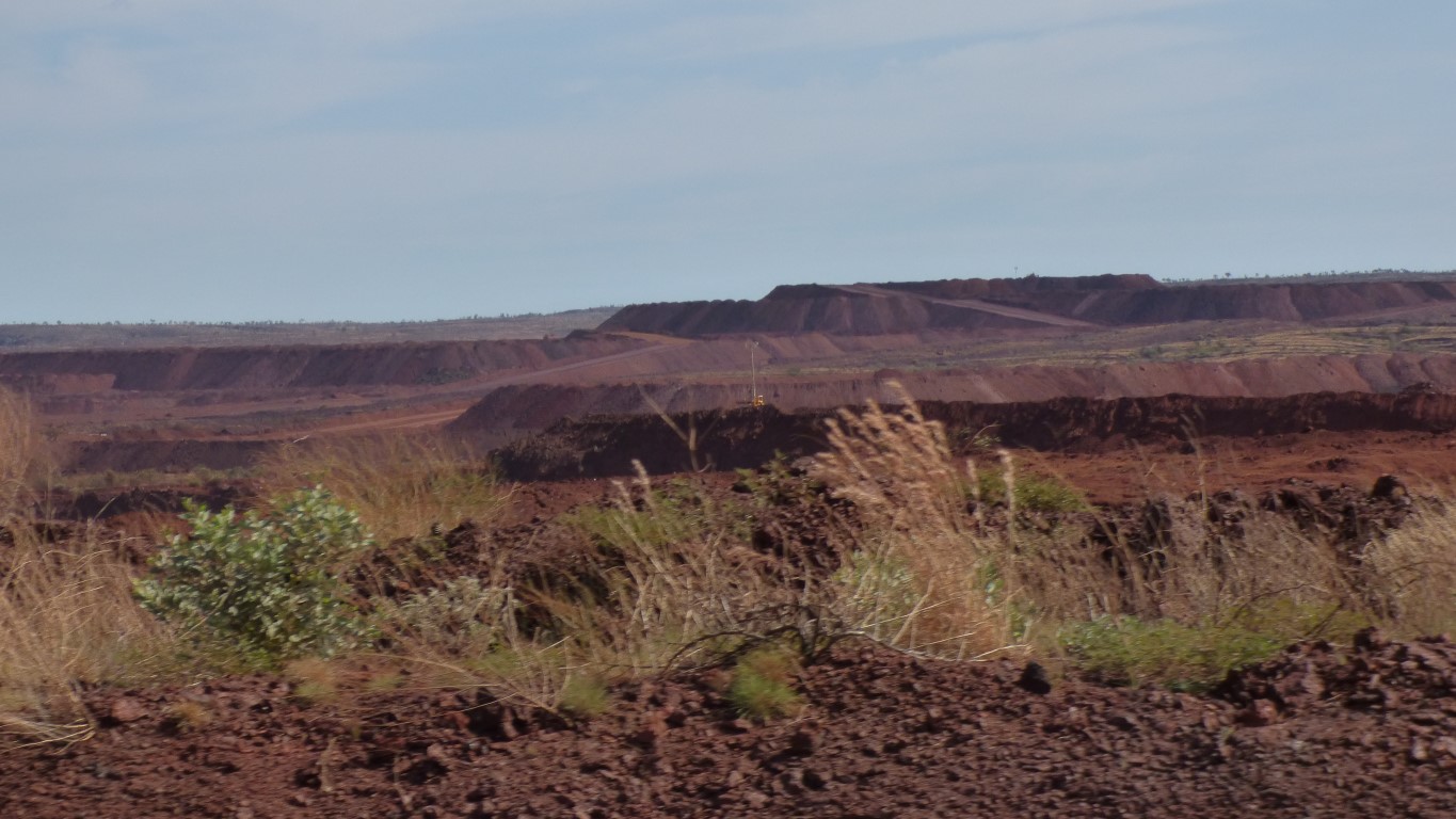
Presumably power to Roy Hill Mine.
But from where?
Where Barbara, to whom we are eternally grateful, has our new spring.
A bit of a milestone, and a sense of relief.
While difficult to avoid thinking of the truck spring we've also managed to take in a lot of the country we've passed through. We are looking forward to a bit of stress relief.
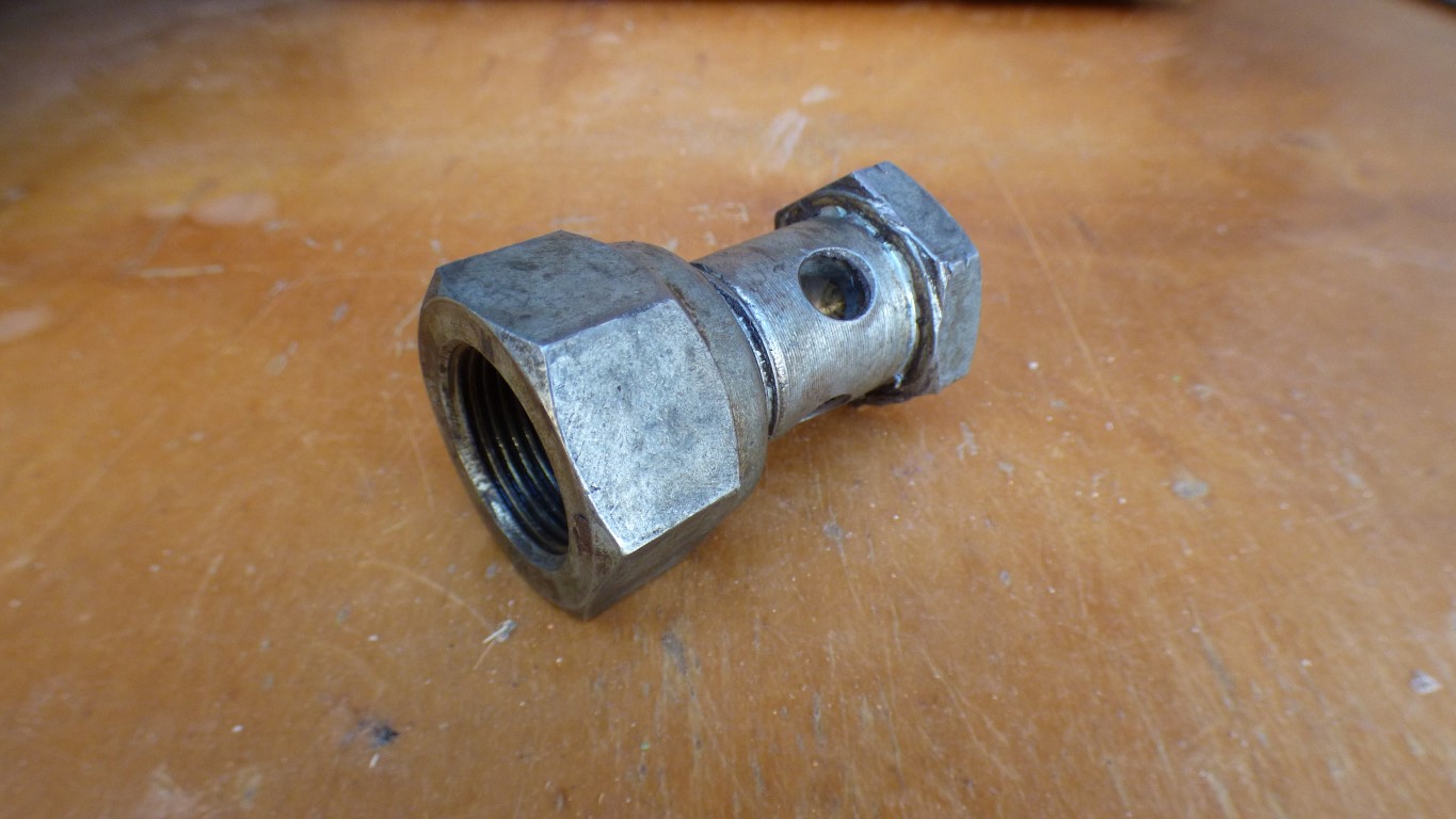
Its the "special tool" I carry for removing the front pin in the rear springs.
There is no access to punch the pin out from the inboard side.
The special tool screws onto the end of the pin to allow extraction.
It is a little cheaper than the proprietary Mitsubishi special tool.
I've been carrying it around since I installed the parabolic springs in the UK a few years ago.
"Just in case".
The new spring. Installed for me. Two hours from 7am. Which gives us the rest of the day.
The override leaf is nicely aligned. Phew!
A minor hiccough, the new u-bolts were too long. Difficult to find a workshop that can cut more thread at short notice. We use the old ones.
While waiting for truck to be returned I did score a metre of 50x3mm steel flat to replace the bit I used as a wear plate. Thanks to "Chris" who provided it for free - been in the same position!
"More stable" is perhaps the best I can do.
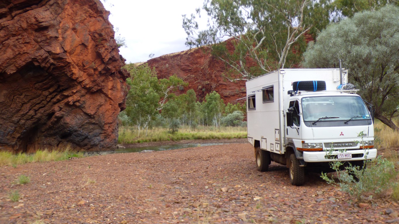
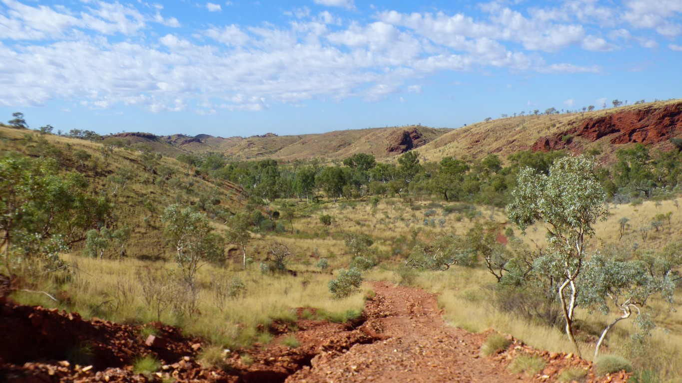
We decide some rest is in order so head to Kalgan Pool, north of Newman.
A permit, to cross the rail line and traverse BHP lease, is provided by the Information Centre.
There's a couple of fords across smaller tributaries.
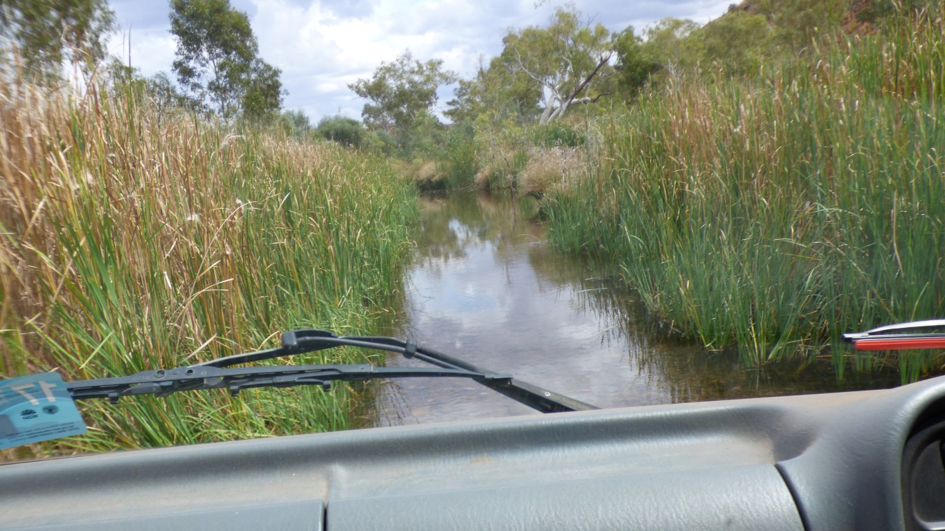
I don't like water. Even when I can see the gravel bottom and the wheel marks of previous vehicles. The reeds made me a tad suspicious.
About 100 m and a dry mouth, despite truck behaving impeccably in the approx 300 mm deep water.
At least it may wash the dust off the left hand spring so they both look shiny.
There's a short steep bit of track to get around the pool. Its hard sand which has been very heavily scalloped by previous vehicles.
I'll probably go back and take a pic later. Maybe I can persuade Ali to take a pic of truck going down on the way out.
First gear low range and truck magically crawled up. Bit of a non-event really.
All because we think the camping is better on the other side.
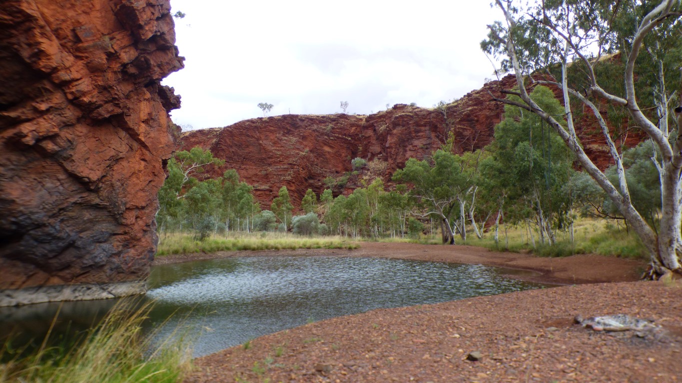
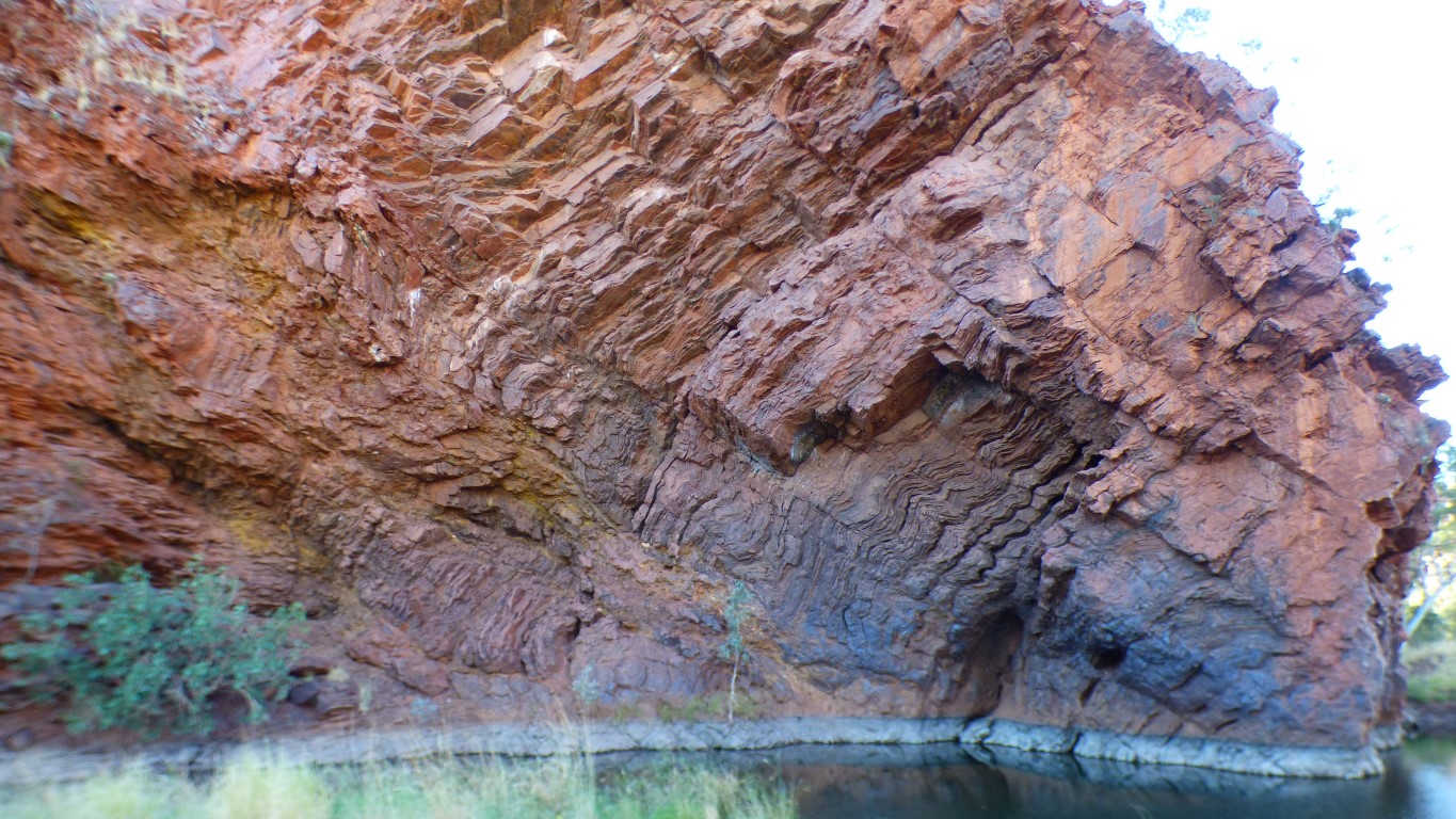
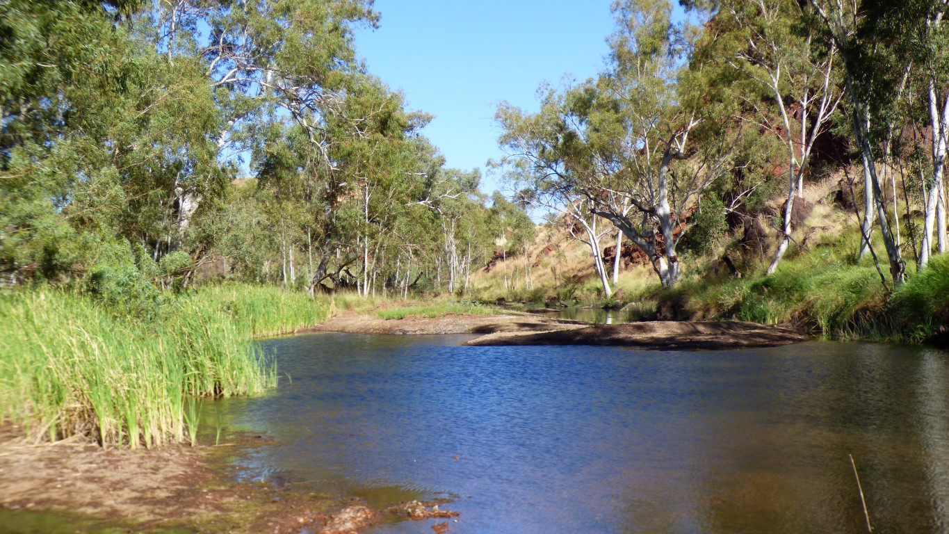
A real swimming hole. Formed as fast flowing flood water swirls around the bluff.
We'll spend a few days here. Initially we thought a couple of days, then visit Punda Rock and Hickman Crater. Now we think we'll stay here 4 days, a quick trip towards Newman on Tuesday for a phone call, then visit the Crater and Petroglyphs.
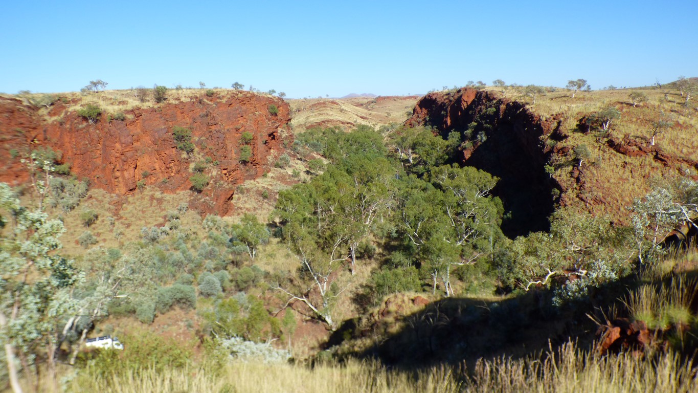
I've had a good look round. There is no obvious flood debris high in trees, or elsewhere, such as we saw at Carowine Gorge. There is grass growing in the gravel bed that hasn't been cleared by campers. and old campfires.
Despite the clouds and spots of rain we think we are safe. And we have somewhere higher to move to at the side of the valley if necessary.
We are not sure when a pool becomes a valley or a gorge. We think we like it anyway.
Spent a couple of hours drying its wings, while in the shade.
Then went for a swim. There's lots of small fish in the pool so we are guessing it caught some.
Truck is just visible on the left. About 50m below us.
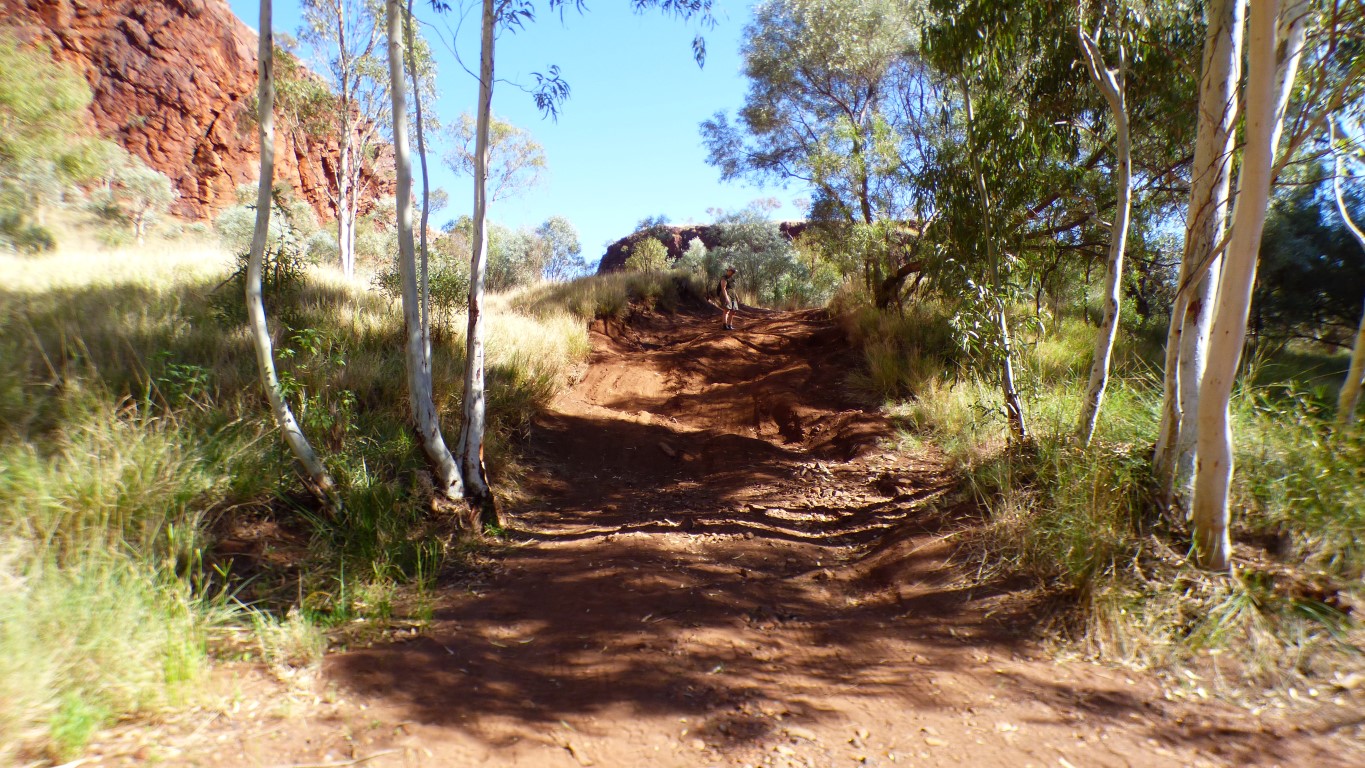
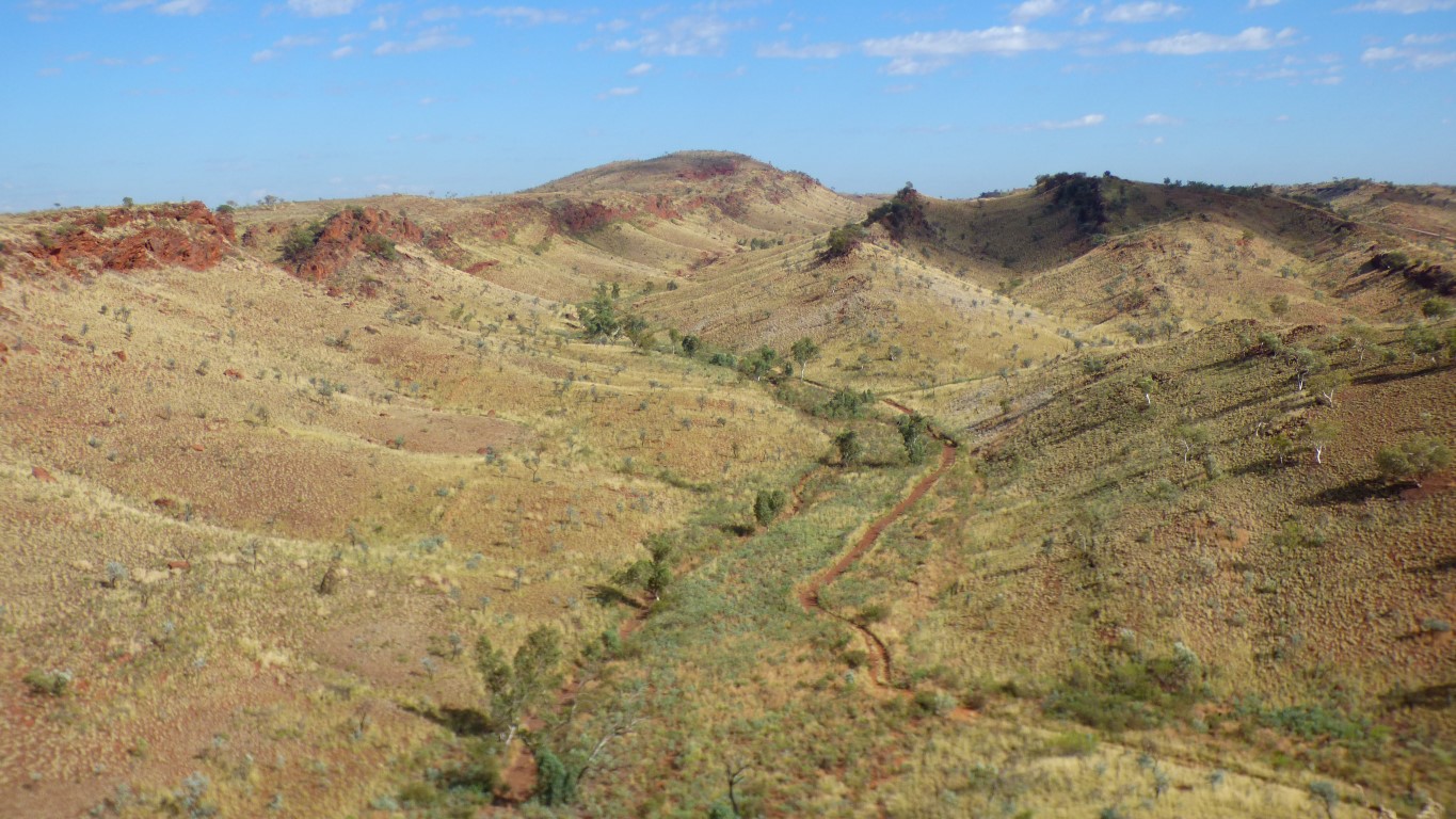
There's a bit of a 4wd track to this hill top, a detour off the degraded track. And an old campfire.
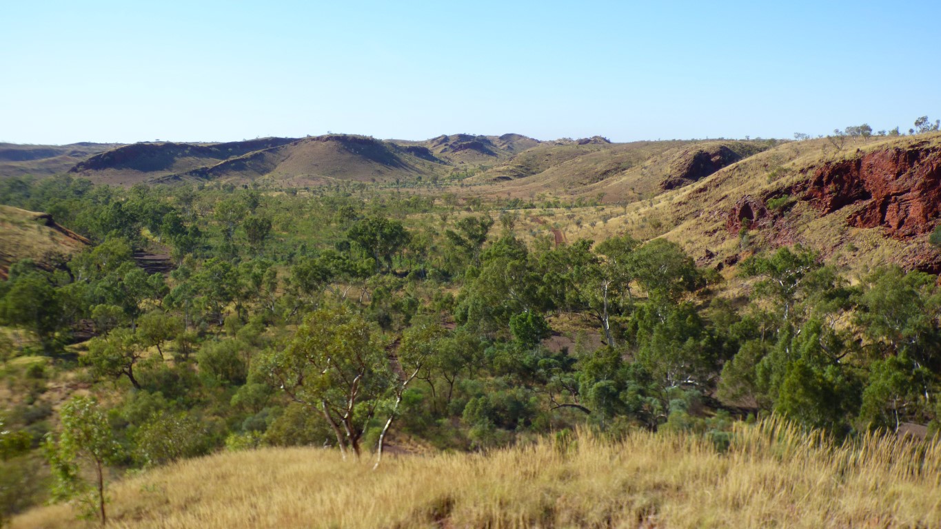
We found our way down to the "degraded track" that leads to Eagle Rock Pool and Three Pools. It leaves this valley to the north (left). We'll leave the same way we came in.
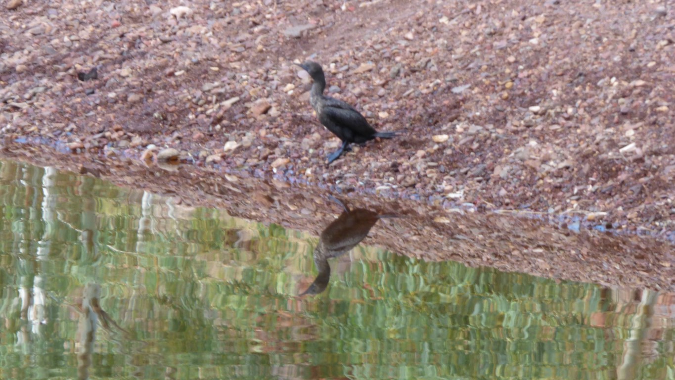
We can hear various birds calling, but they hide themselves well. Similarly insects. We haven't been here long enough methinks.
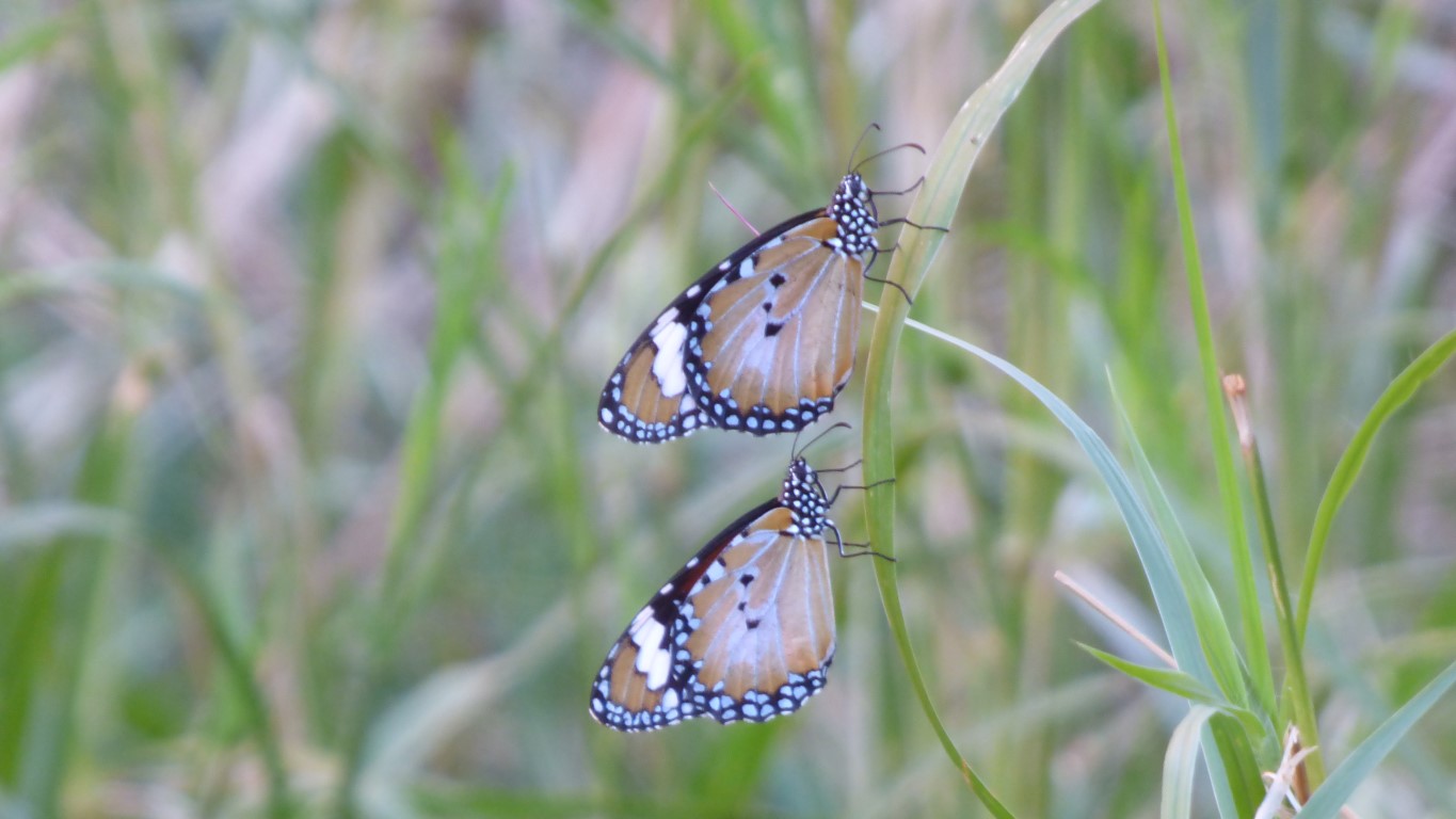
But here are a couple of butterflies that stayed still for a few seconds.
Only one vehicle visited today. We expected more for a Sunday. A smallish ute. Negotiated the short steep scalloped bit of track on the sixth attempt.
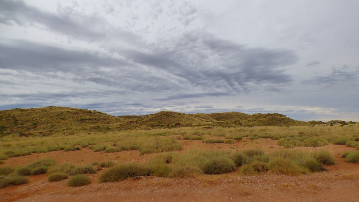
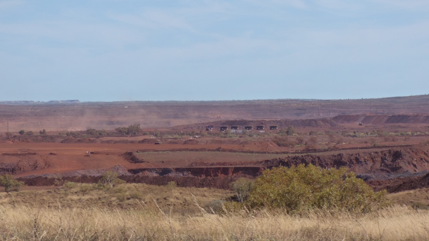
Once on the ridge tops we could see Mt Whaleback or Mt Newman in the distance. About 17 km, a little bit west of south. We are not sure how much of Mt Whaleback has been mined.
Though later, we discovered most of Mt Whaleback is no longer there. This mountain is Mt Newman.
We also had mobile phone reception, and two bars of 4G internet. Which we didn't use.
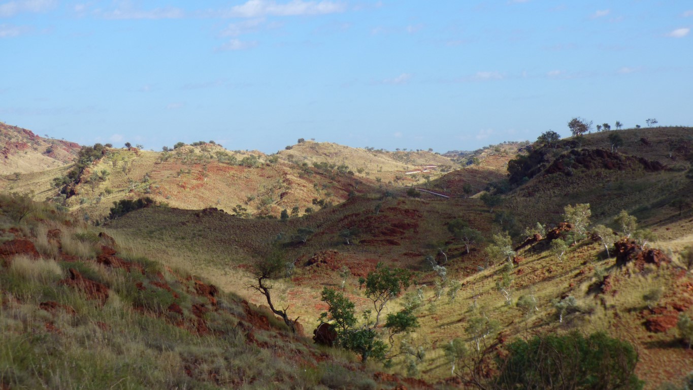
Once we had internet we realised its a water pipe, between Roy Hill and Hope Downs Mine.
We decided not to walk down the hill to meet that track.
And made sure the mountain was still where it should be.
Yet again, the valley through which we originally came in.
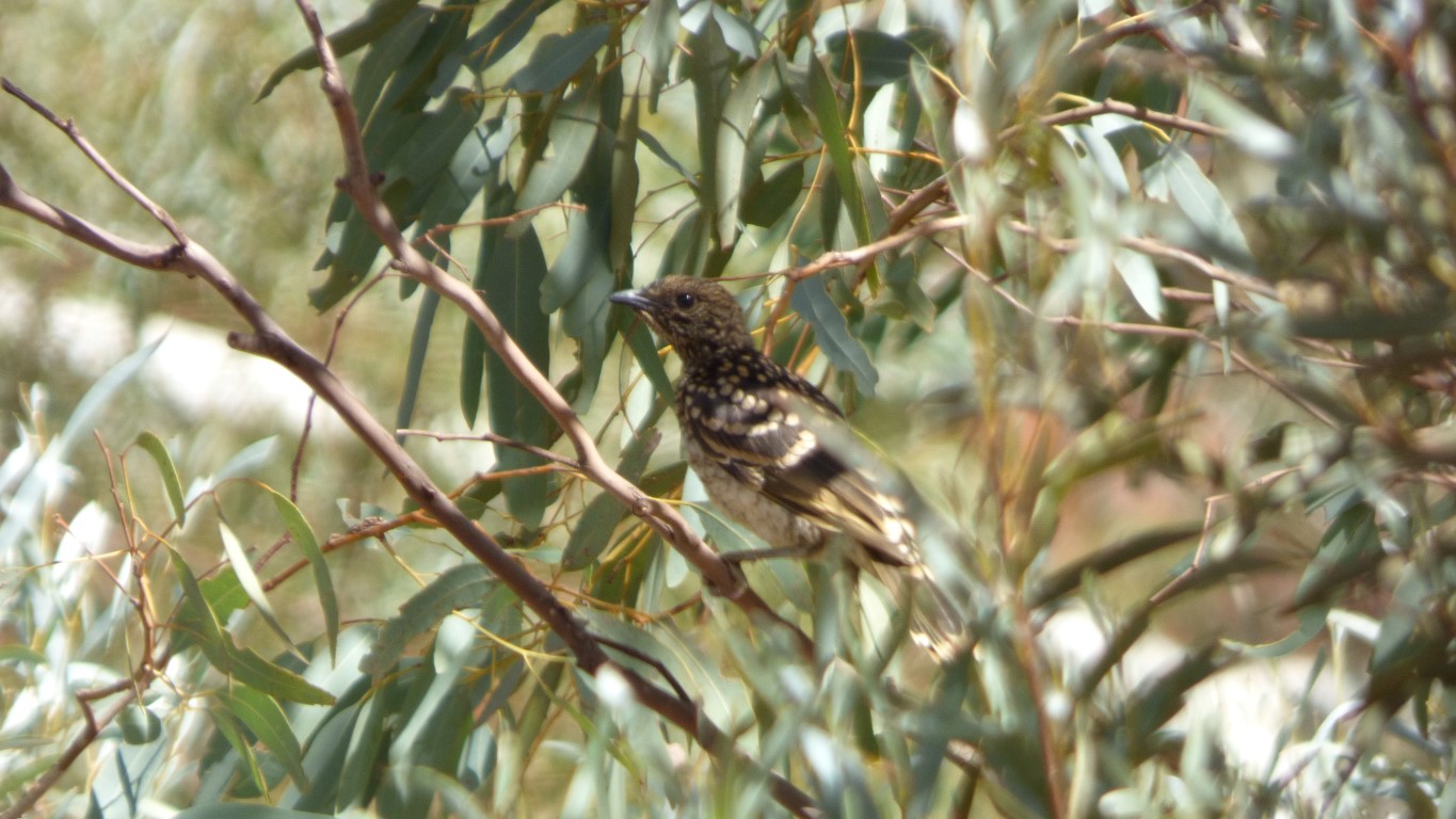
But not sure if they live here.
They are masterful at hiding in the eucalypts.
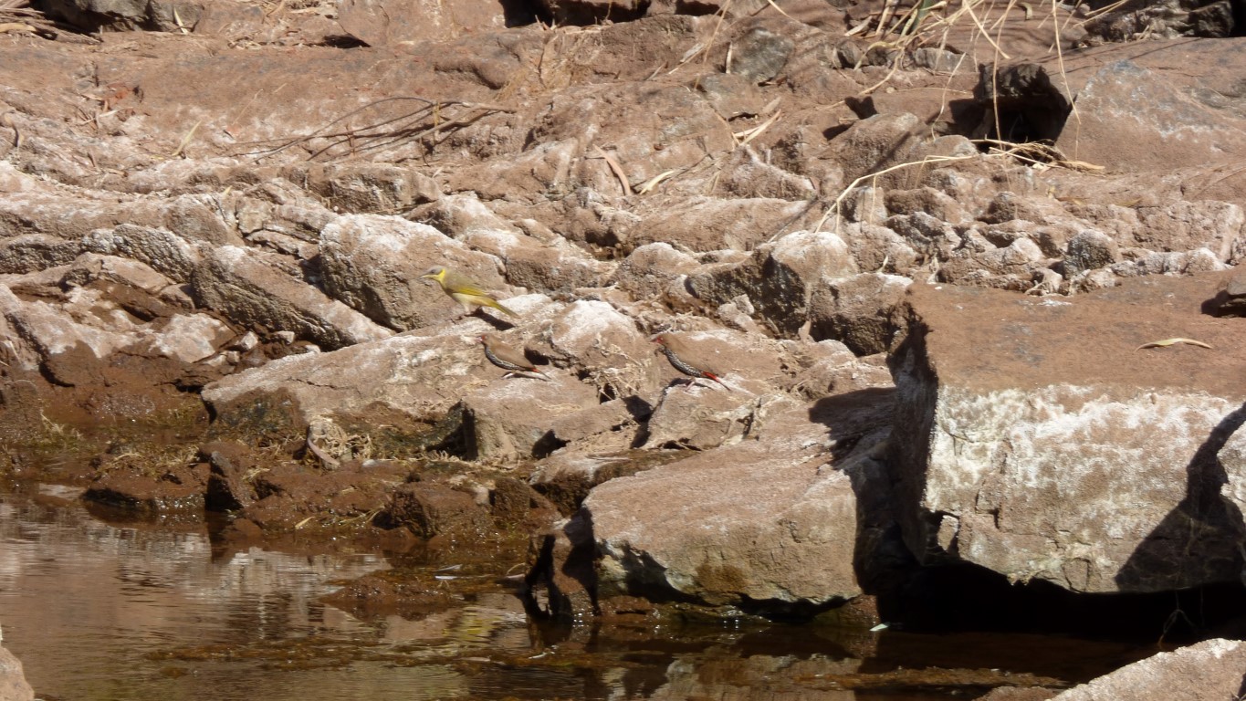
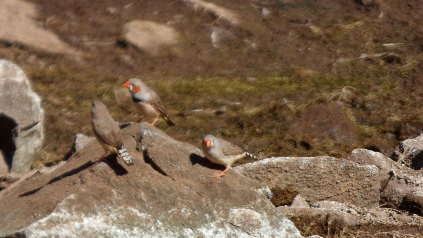
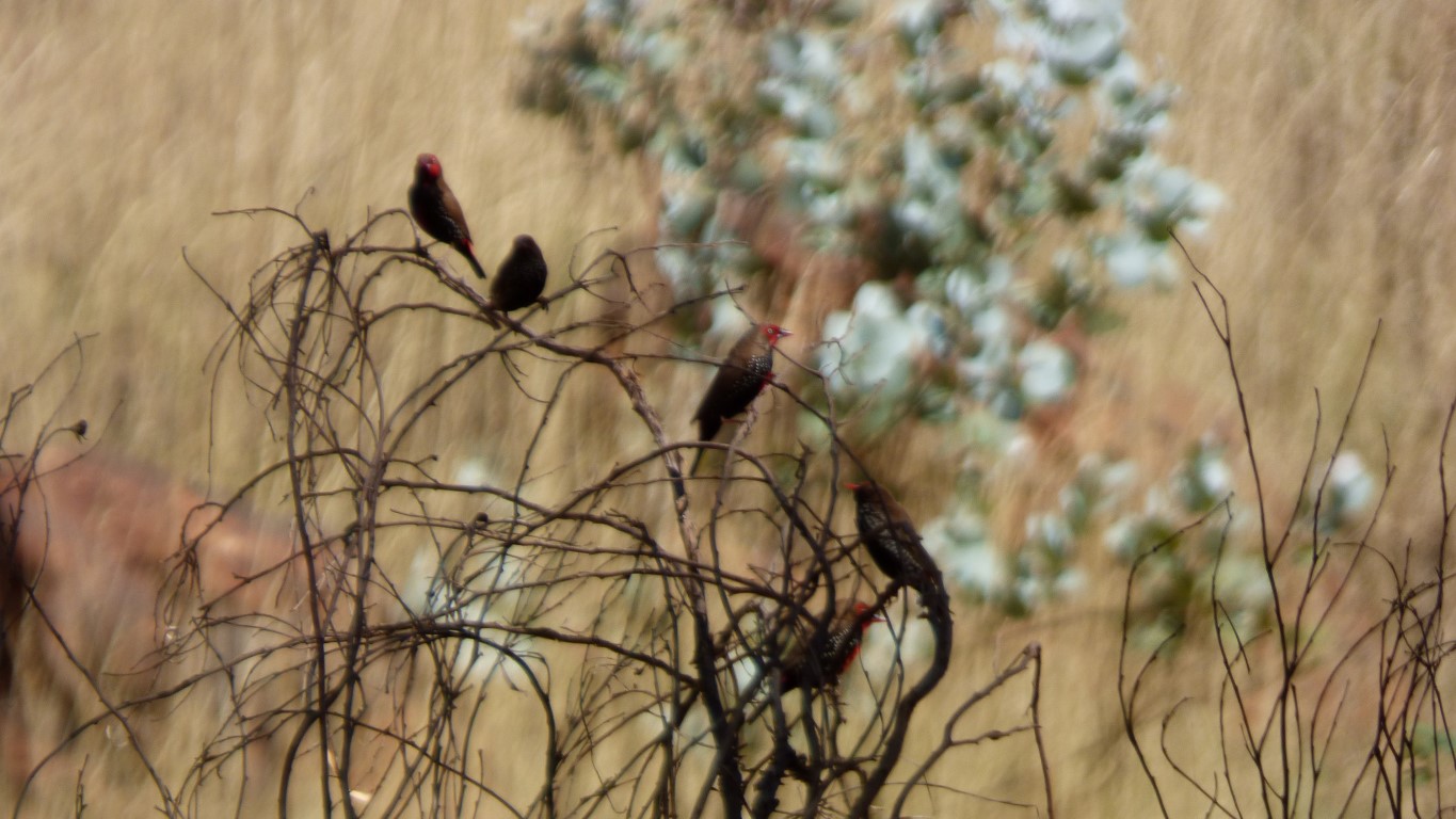
A grey headed honeyeater and a couple of painted finches waiting their turn.
We've begun to realise that some painted finches are more painted than others.
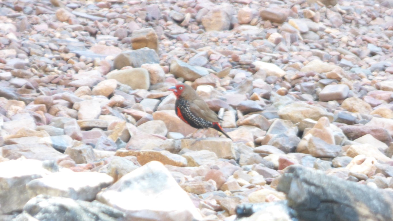
Even when I knew birds were there I struggled to find them in the camera.
There were others that were more shy. Just a fleeting glimpse of colour and movement, then, nothing.