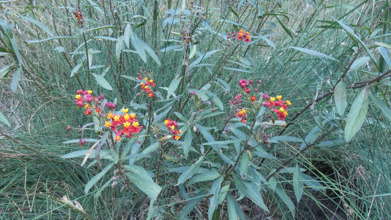
A bit of a lack of bird life. But perhaps we have been spoiled at other spots.
A small flock of red-backed wrens passed by. A bit like a shoal of dolphins, appearing for a short flight above the grass. A few parrots high in the trees. Four ducks. Just enough to keep our attention.
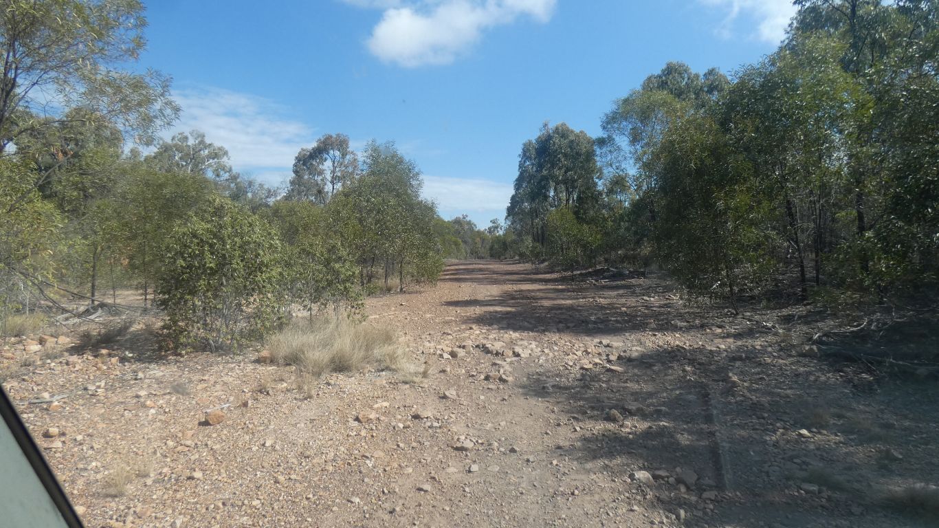
Headed to Nathan Gorge.
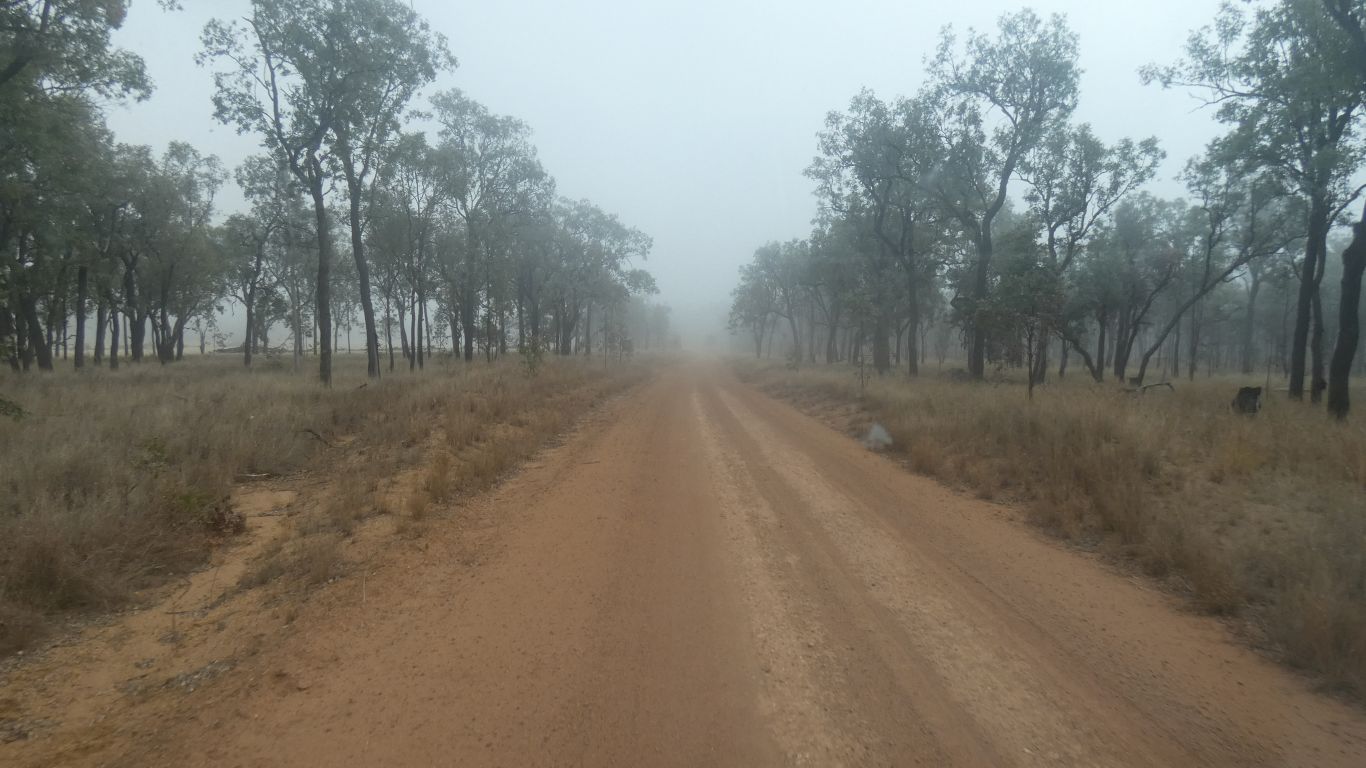
The narrow "road" was sign-posted to Taroom.
Followed the valley. Past Cracow Station.
There's a sign post.
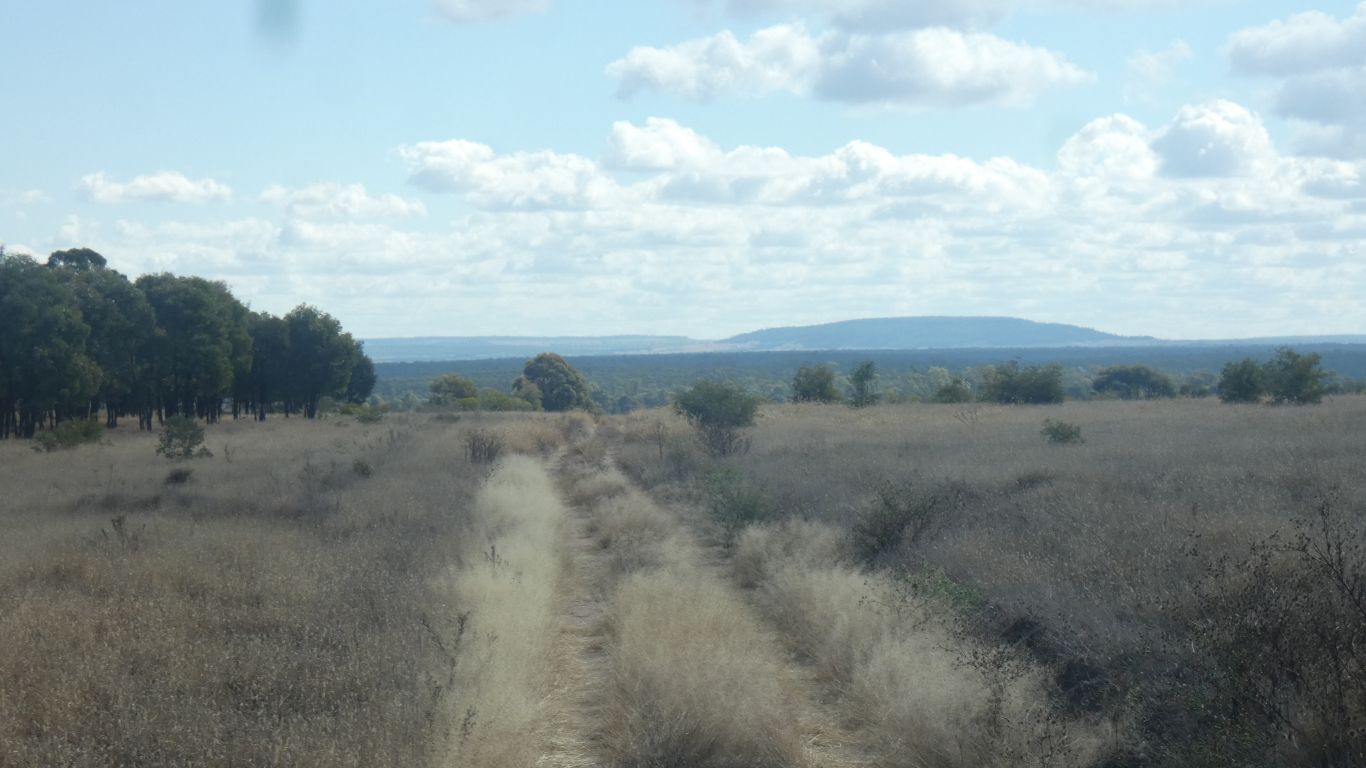
Not a well publicised, or well visited gorge. Not a national park or a conservation area. A point and a label on a map.
It looks like there may be a steep way down to the bottom, avoiding cliffs, at the very end of the track. We don't feel that ambitious.
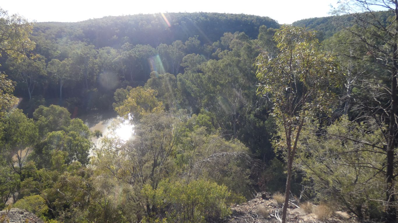
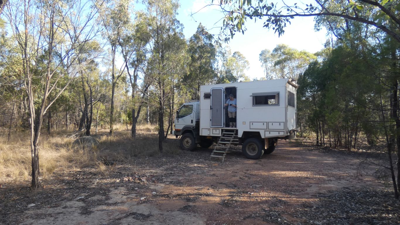
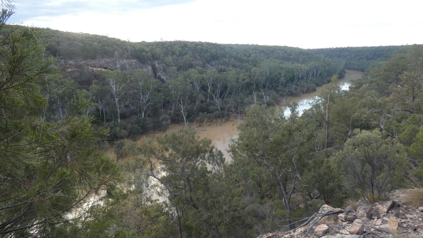
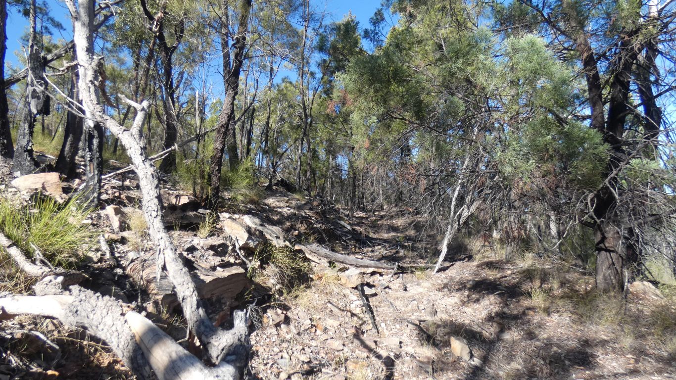
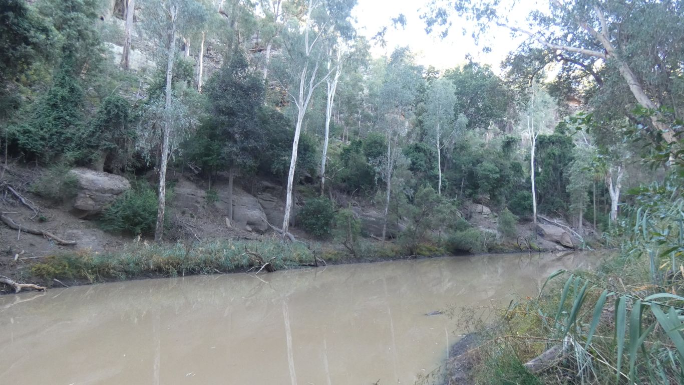
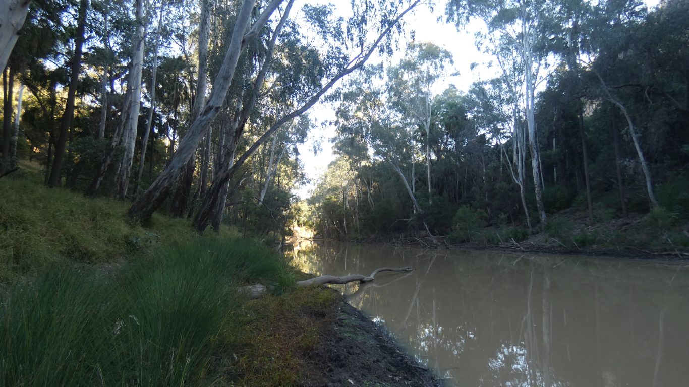
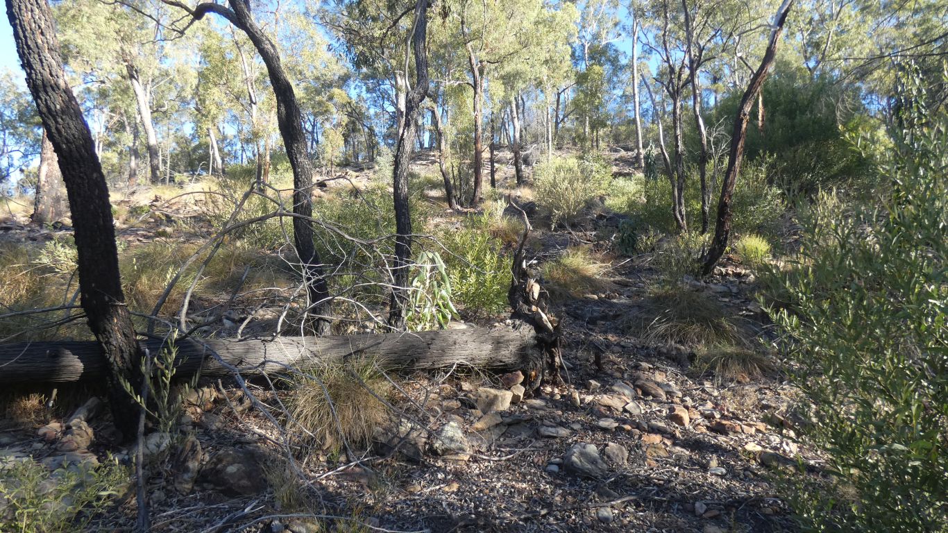
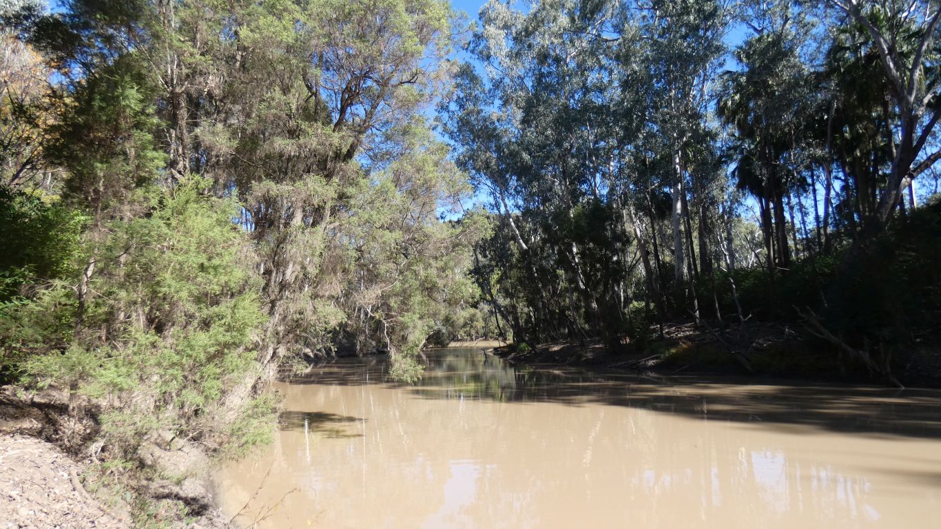
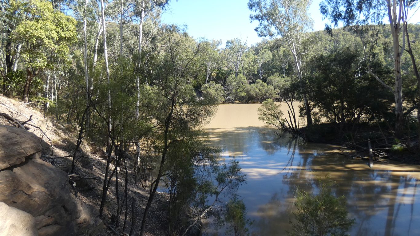
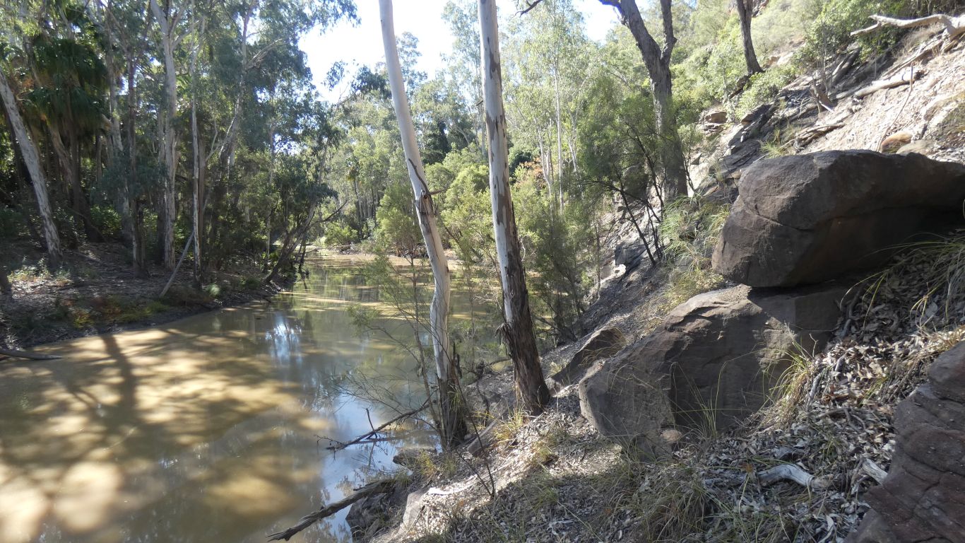
As we walk from the end of the track, which incidentally has a nice camp spot, we follow the eastern side of the ridge. The Dawson River flows through the gorge on the west side of the ridge. There is a tributary on the east side.
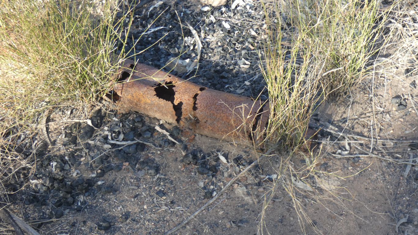
A few artefacts. A rusty length of 3/4" wire rope, some rusty bits of steel, including an old oil filter. And this old silencer from an exhaust.
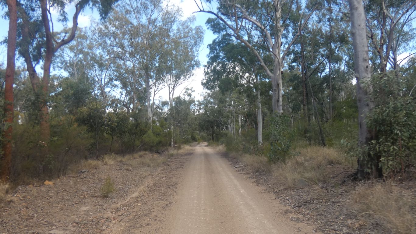
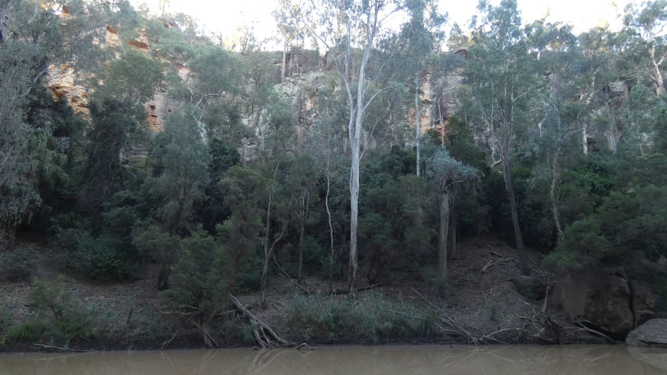
The attraction is that we have entered "sandstone country" which has lots of gorges. This is an opportunity to explore one of the most easterly. Our plan is to explore as much of it as we can.
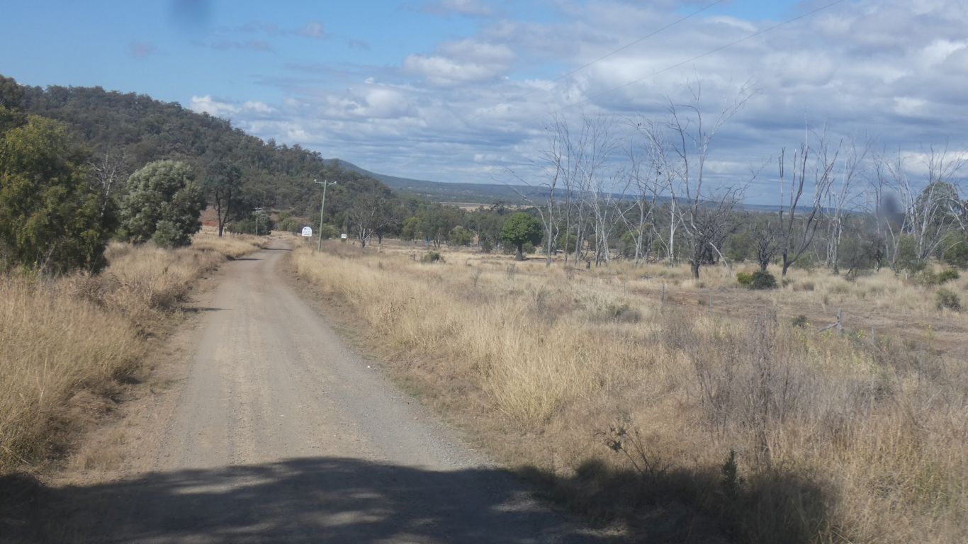
Auburn River National Park was granite. In 70km we now see sandstone. The landscape began to change just before we reached Cracow.
As I said to the surgeon when he was explaining that the lens insert, to replace cataract, was not quite right but some people like perfect and we can implant an insert in front of the first one .... "should we let perfect get in the way of good".
In both cases, campsite and eye, the answer is clearly no.
We are camping and exploring rather than waiting for things to heal after medical interventions.
I figure the lens implants are fixed focus. I'm using a very old pair of noddy glasses (varifocal) for anything closer than about 3m. I would hate having to take reading glasses on/off, and still only fix one distance.
I'll visit optometrist on return home for an up to date pair of noddy glasses.
And we realise that so far none of our campsites have been festooned with used loo paper ... how sad is that? (that we notice).
Let's see what happens if I look at the edge of the gorge a little south of our camp.
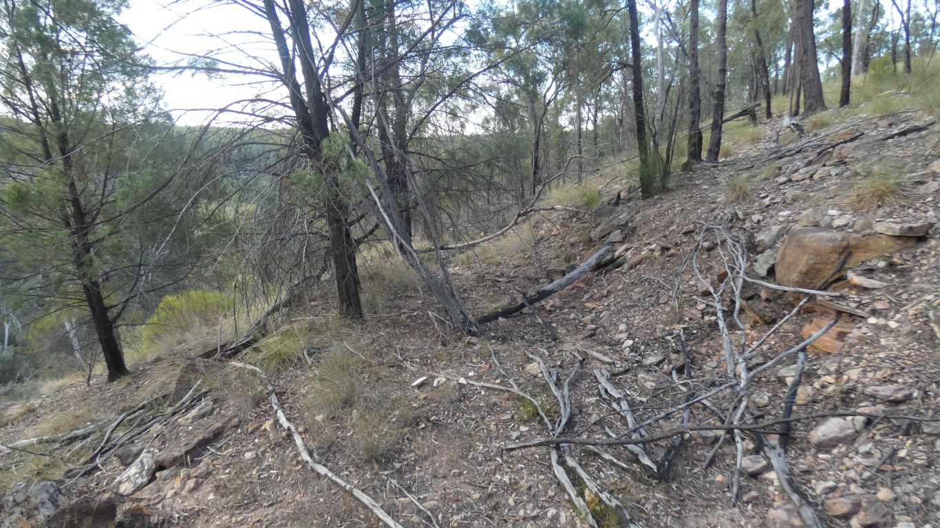
Slow but steady through tussock on rocky ground.
Then a surprise.
Running along the edge of the cliff is an old vehicle track that has obviously been formed. Cut into the sloping ground.
Many years old, there are largish trees growing in the middle.
Its very vaguely discernible on google's satellite view as a darker straightish line.
-25.43503,150.16639
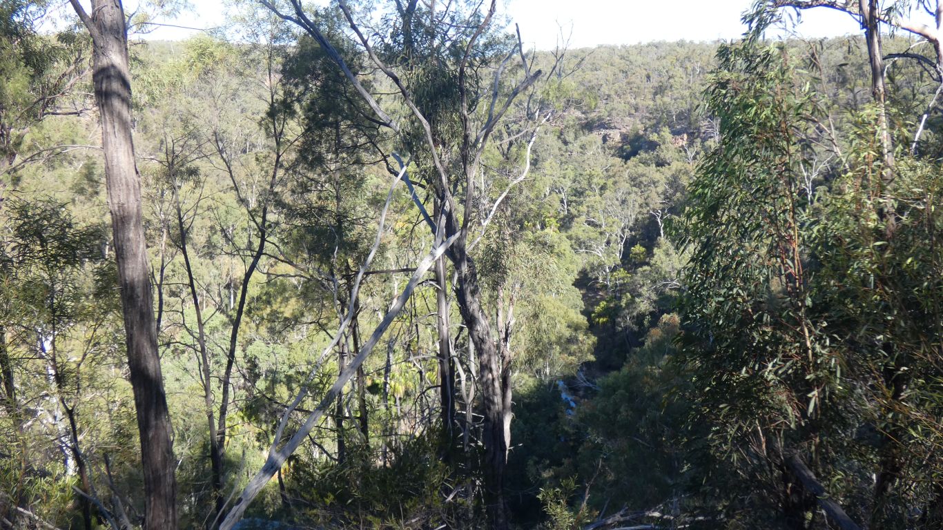
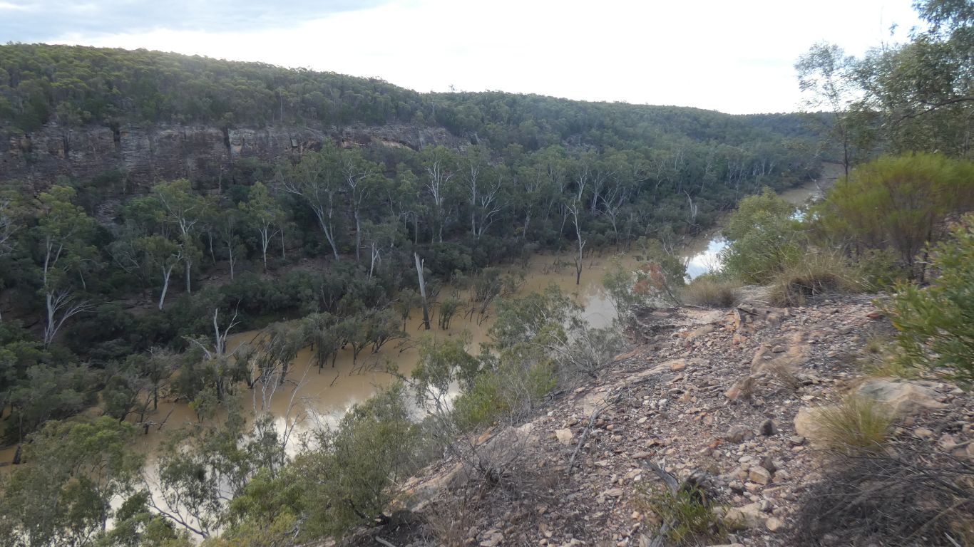
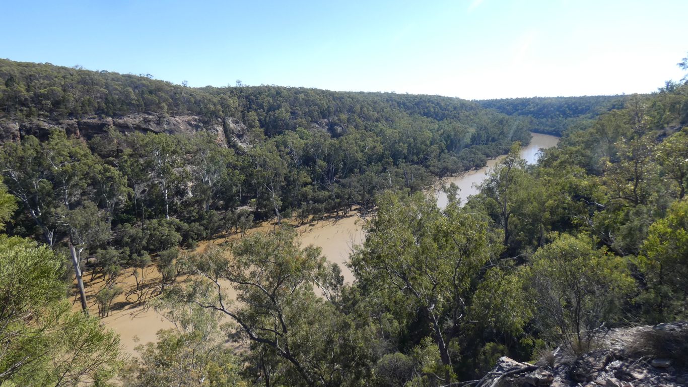
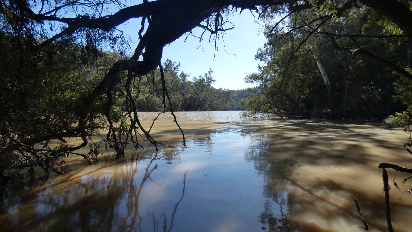
Looking north along the gorge.
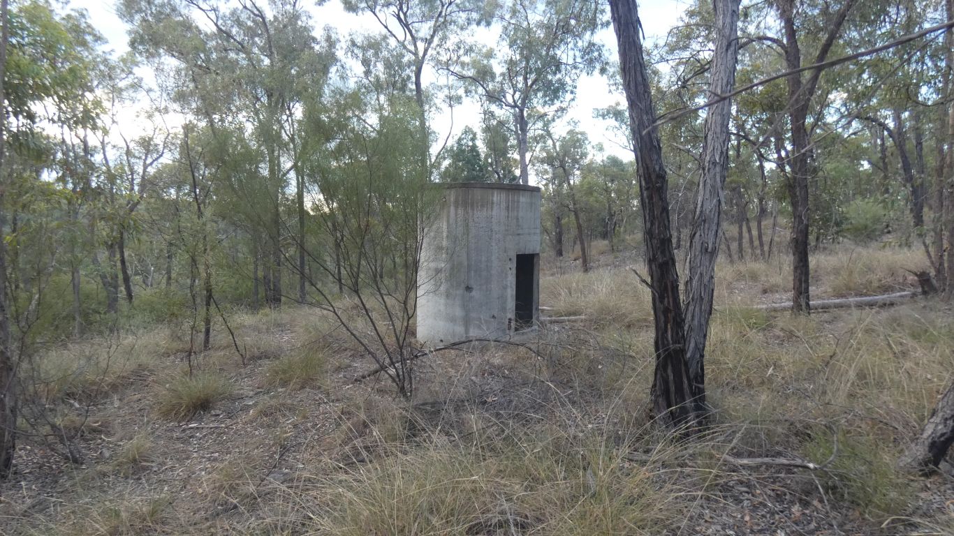
So I bushbashed towards the campsite and tripped over a water tank.
A disconnected steel pipe to the top of the tank. I couldn't find an outlet pipe. The door was long gone.
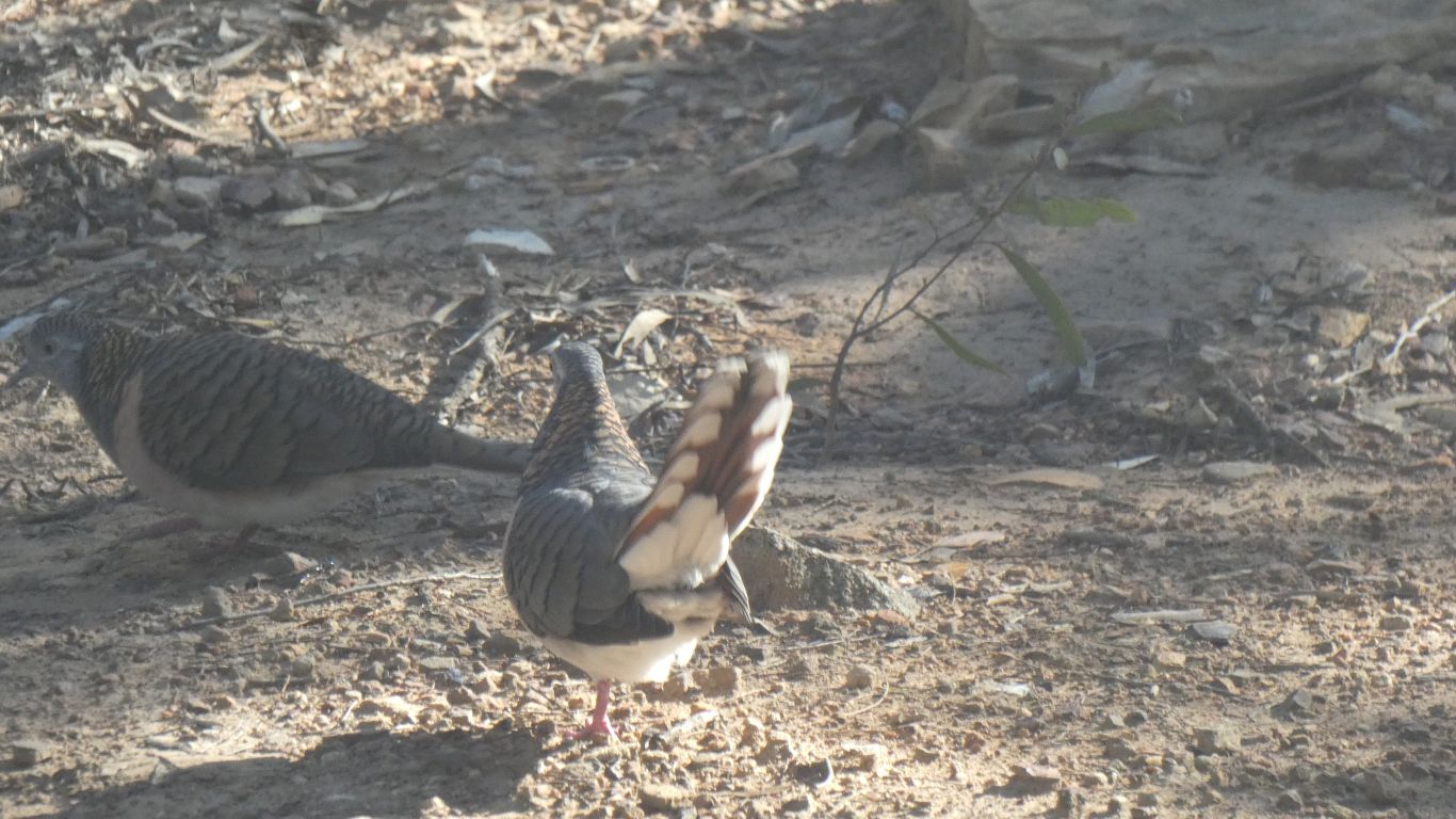
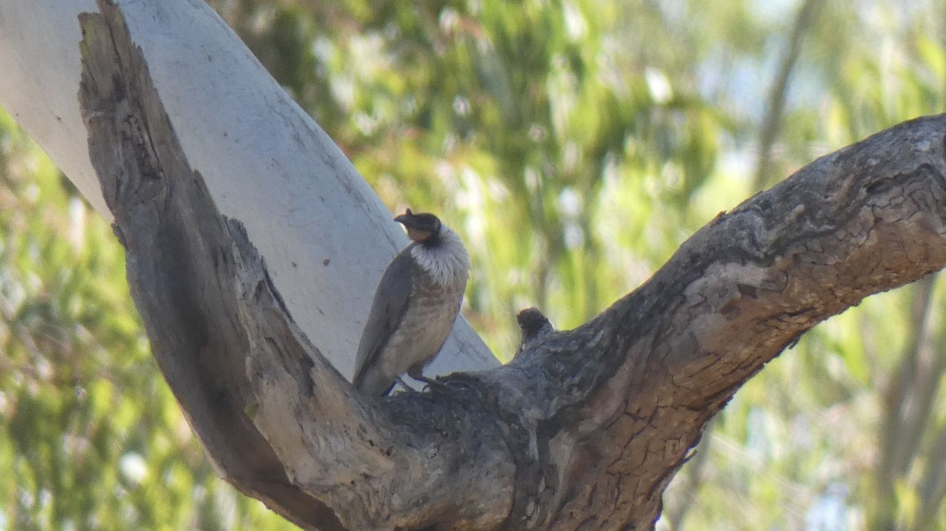
With a display of tail feathers that the camera caught the (tail) end of.
They were spread quite wide.
Not sure if it was a display targeted at one of the other doves. It was looking the other way, in blissful ignorance.
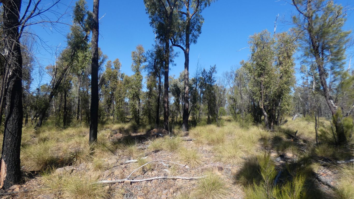
Is it spinifex we asked ourselves.
Mostly tussock, but yes, spinfex.
We found the old vehicle track again. Even more pronounced, I wasn't imagining it.
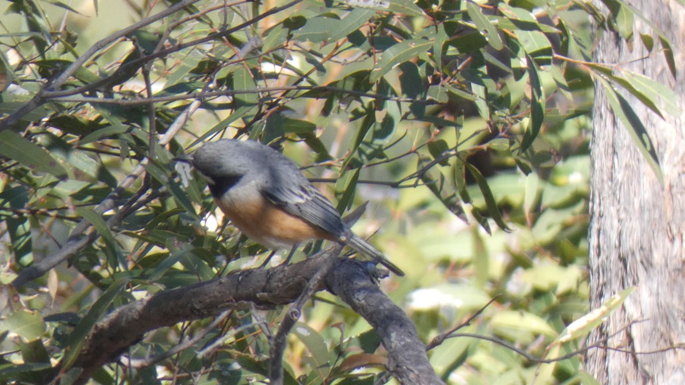
Though we did see what we think is a Rufous Whistler at the gorge edge.
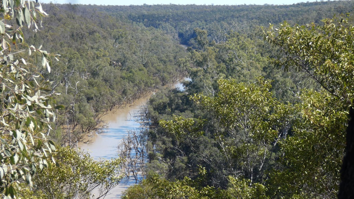
Just a glimpse really. Looking west. There was no view north.
It did satisfy our curiosity. We weren't quite sure from the map which bit was "the gorge". We decide it all is.
It looked like the way down to the bottom was not so steep here, and perhaps no cliffs.
But we are tired, so we beat a retreat. Two km trudge along the road to the truck.
The bread maker has one hour left. The yeasty aroma of bread baking welcome.
I'm a slow learner!
While Ali practiced playing her mandola I had another look at the end of the ridge. And possible ways down to the bottom of the gorge.
Turned out to be not so hard as first thought. A bit less steep than a New Zealand Fjordland mountain side.
According to gps, top is 230m, bottom 160m, making the gorge 70m deep.
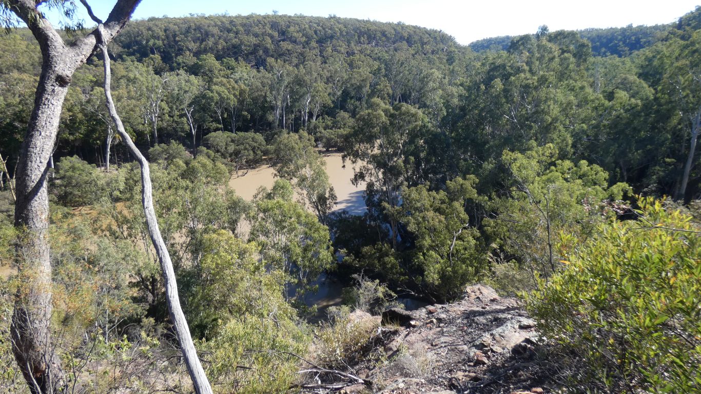
This is looking east along Downfall Creek. The confluence with the Dawson River is about 200m south west.
First part of descent was rocky, with little vegetation. Just enough to hang on to in the event of a slip. Some loose soil.
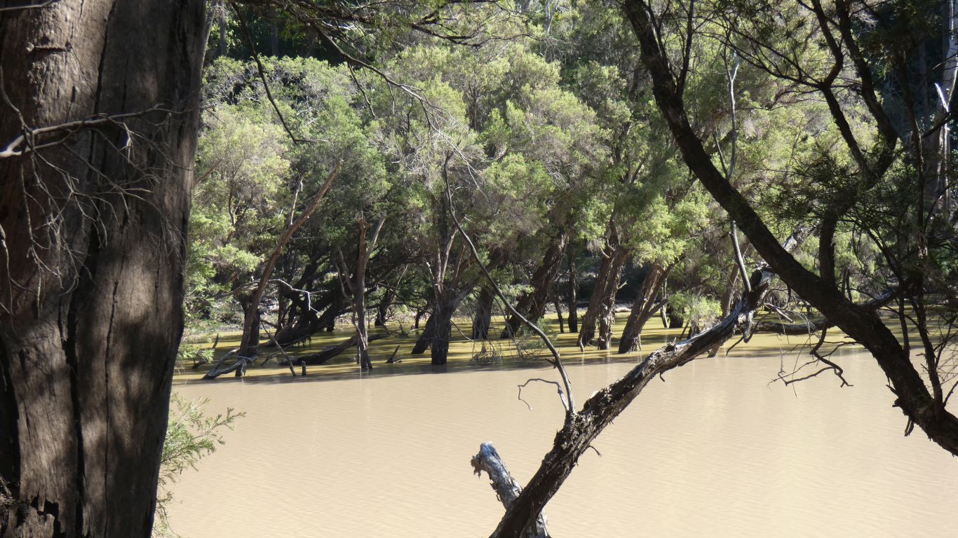
It flattened out about half way down. More, and different trees. And grass.
Then same steepness again to flat bit a couple of metres above river level, with thick green grass, and fallen palm leaves. Had to be careful where I put my feet, feel for solid ground under the grass with each foot fall. Much like New Zealand tussock, but not as shiny and slippery.
Very different vegetation to that on the ridge.
Steady as she goes. Take a look. Digest. Investigate a bit. Get used to the terrain. Think a bit more.
I was really embarked on a bit more investigation, a bit more probing. A bit of a surprise when I realised it was really quite easy. Just steep.
Not so happy when I realised I was in Downfall Creek and not the Dawson River.
Looking (longingly) upwards from about half way.
A bit of a grunt.
The good news is that I reached the top by simply plodding my way upwards. Not really feeling any strain in my legs. Breathing good. I should have believed the doctor who supervised my last coronary stress echo test when he asked how I kept fit .... renovating our swimming pool which is about 30m below our house on a slope a bit like this one. The test was post coronary by-pass, the op in March last year.
I guess by now you may begin to think how happy I feel. The simple part of just being here, camped in rough country. Without having to worry (too much) about health. The occasional unfortunate concession to age. We can't walk as far, or for as long, as we used to.
Cup (more than) half full.
Despite previous observations of cliffs we explored the potential for following the end of a ridge from our campsite directly to the confluence. We had enough internet to see a satellite pic and obtain coordinates.
But we were beaten back by steepness, if not cliffs. We could see the confluence below us. Looking about north.
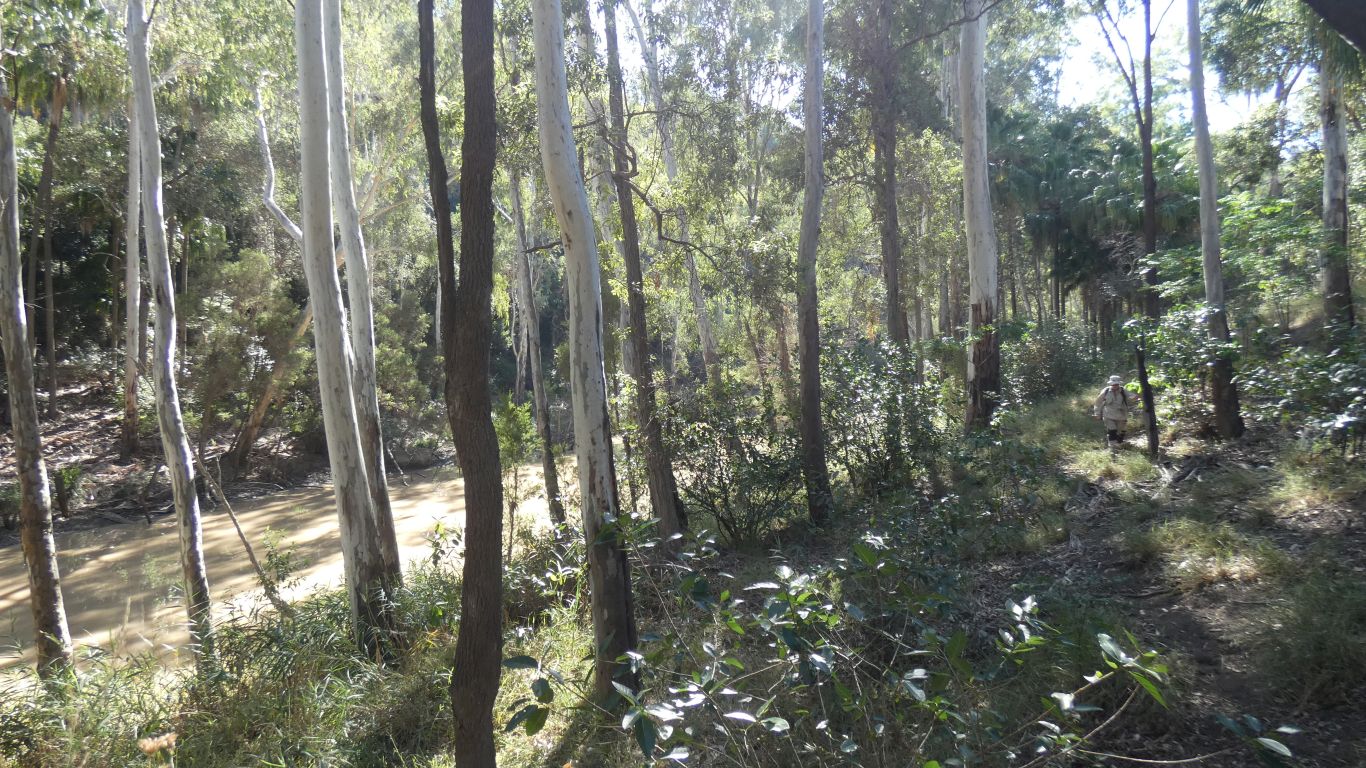
Then south westerly along the creek. A little way from the edge where kangaroos have made tracks and the grass is thinner.
Soft soil.
Ali's knee still good.
We stopped here, and turned back.
And so it does..... there's a weir, about16km due north of us as crow flies, a bit further round the bends of the river. About 12km west of Cracow.
And while looking for the blockage I also looked at Precipice National Park. If I thought this area was rough, the park looks really rough. And more inaccessible (if such a thing is possible).
Shortly after this we retraced our steps, climbing back up the hill to the end campsite.
A couple of hours, including sitting looking.
While we've avoided cliffs, and broken rock, its quite possible there are rock shelters. Perhaps more in the Dawson River than the creek.
We may never know as we can find little information about the gorge (which doesn't mean there is no info).
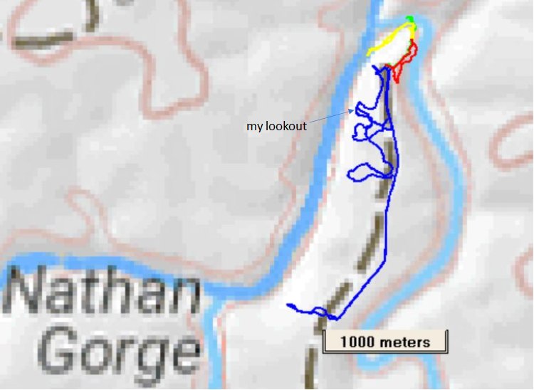
The blue line is a combination of the short walk just described, and tomorrow's longer exploration.
"my lookout" is on that little bit of vehicle track along cliff top.
The road followed the ridge between the Dawson River and a tributary, Downfall Creek.
We are camped where red and blue meet. Another site and way down to gorge where red and yellow meet.
There's a green line, an exploration to the bottom of the gorge from the end campsite.
And then a yellow line, followed the green line, then along Downfall Creek to the confluence.