| |
|
|
| Carnarvon National Park, Salvator Rosa, Nogoa River |
 |
August 2 -3 2023 |
| |
|
|
 |
|
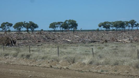
A partial answer to "has it been cleared" as we head
towards Blackall. |
| | | |
 |
|
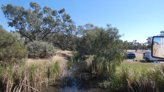
A little water in the Barcoo at Blackall. |
| | | |
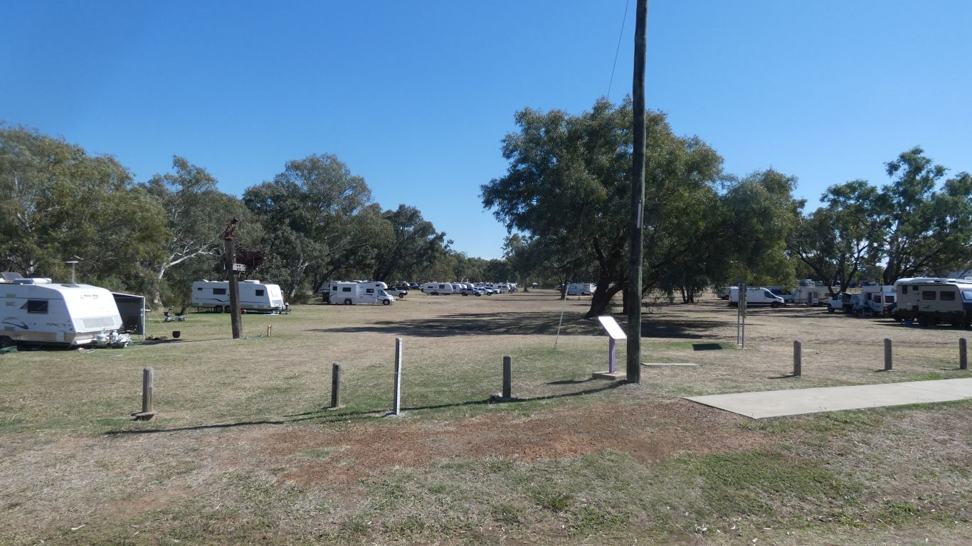
 |
|
Enjoyed by the occupants of numerous caravans and campers. |
| | | |
 |
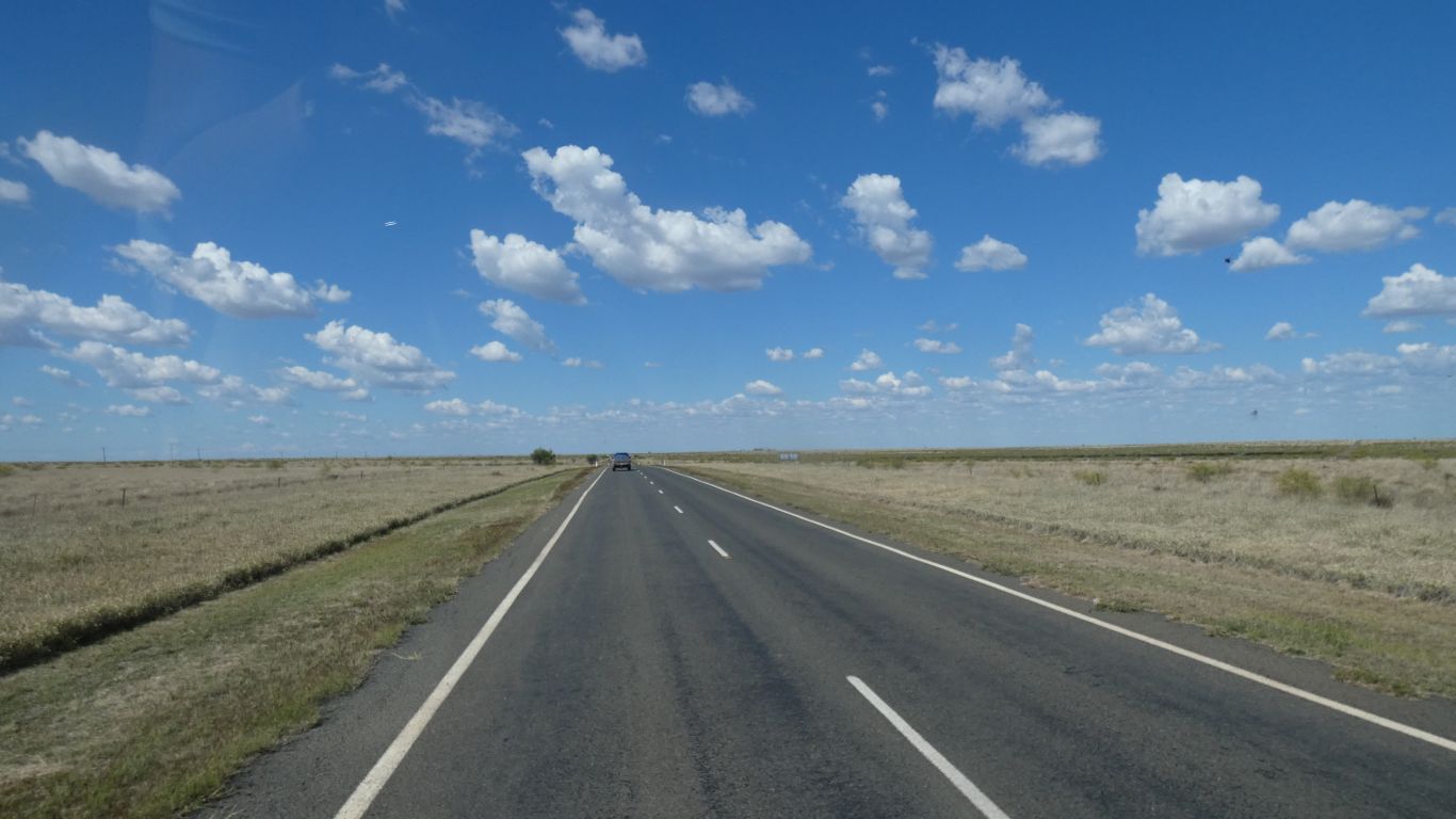
|
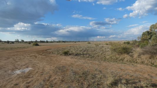
After filling a fuel tank (with fuel ....) we continue east
towards Tambo. |
| | | |
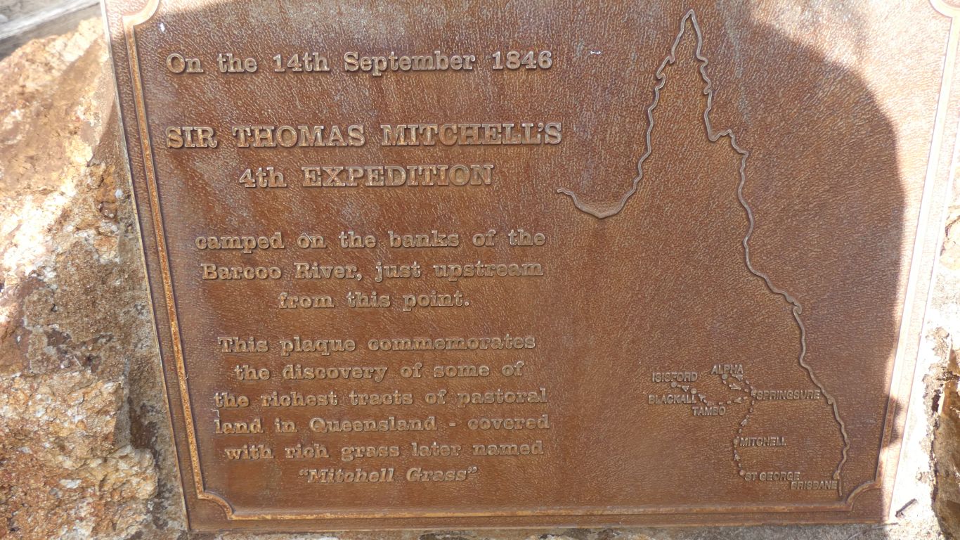
 |
|
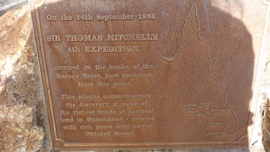
Dump point and water at Tambo. A reminder of 1846 when
Major Mitchell found the Mitchell Grass Downs. |
| | | |
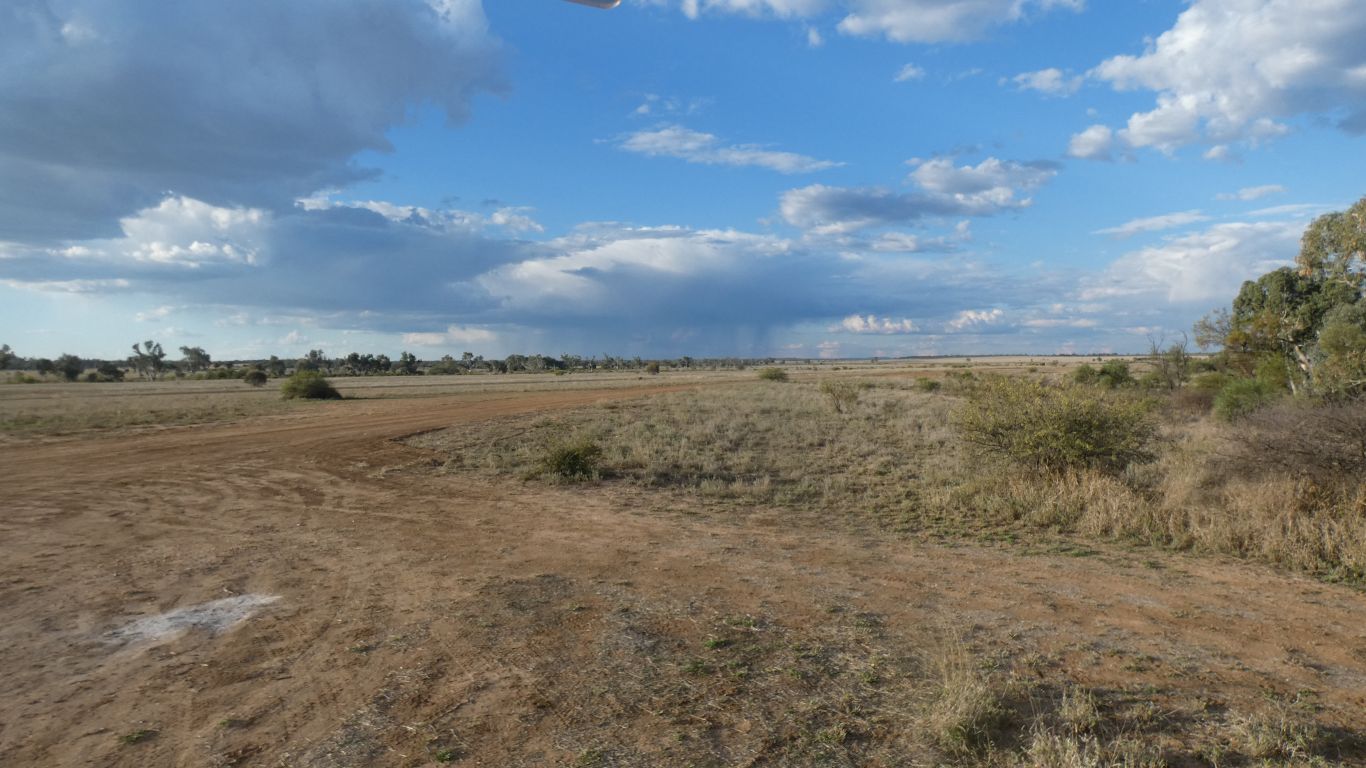
 |
|
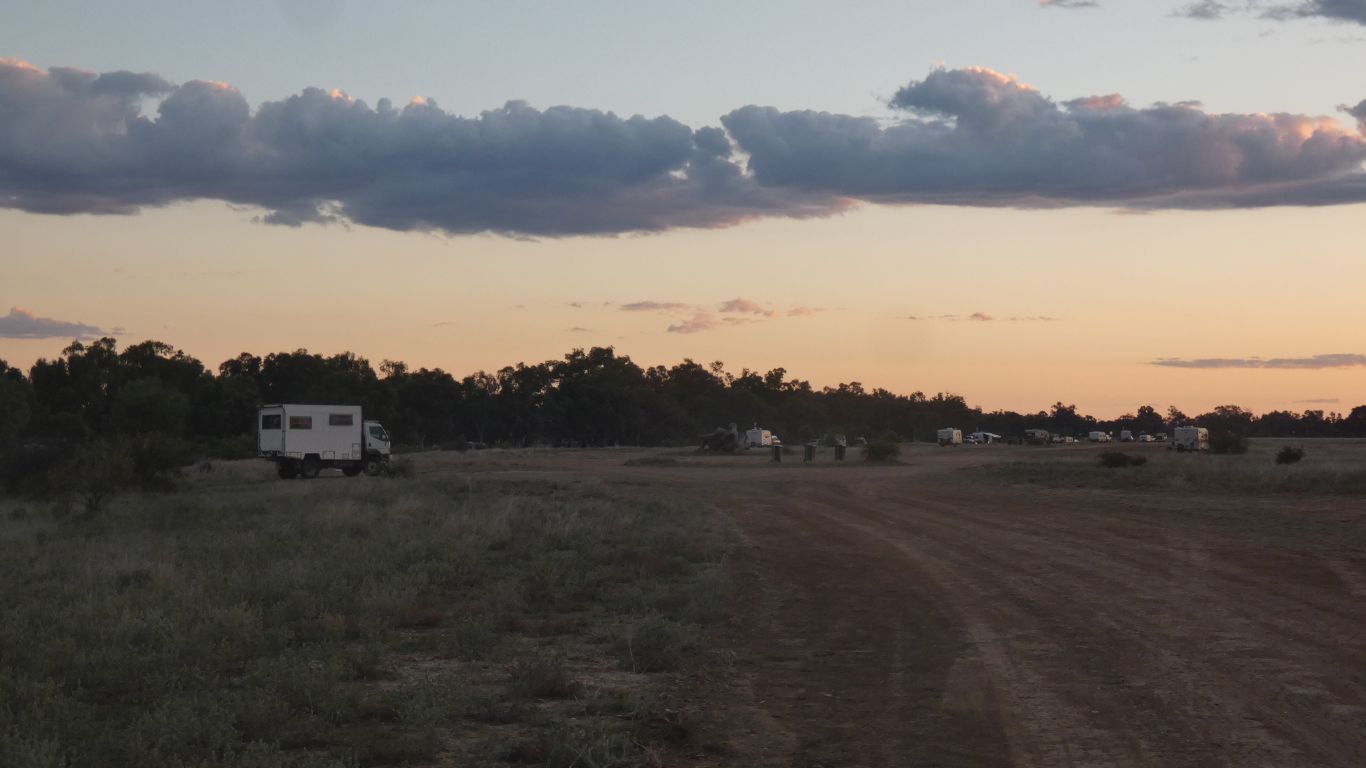
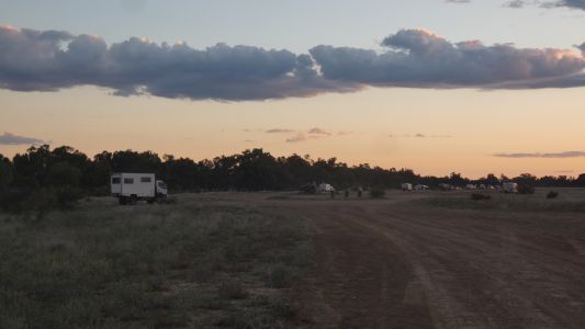
We spend the night on the north side of the Barcoo (at
Tambo). Wary of the rain shower in the distance. |
| | | |
 |
|
Shared the camp with more than a few caravans. |
| | | |
 |
|
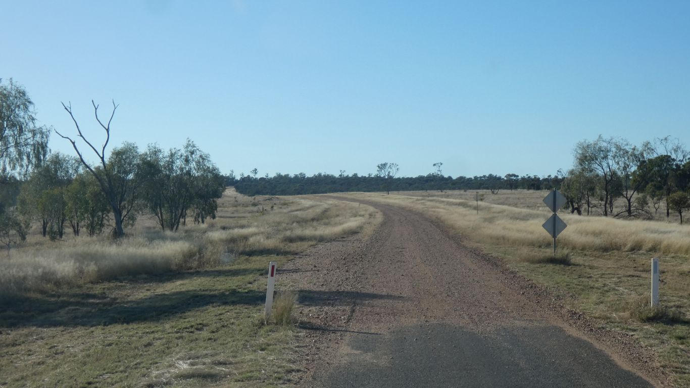
Next day east towards Carnarvon National Park. The Barcoo
feeds into the Lake Eyre Basin. About 25km east of Tambo we cross into the
Murray Darling Basin. |
| | | |
 |
|
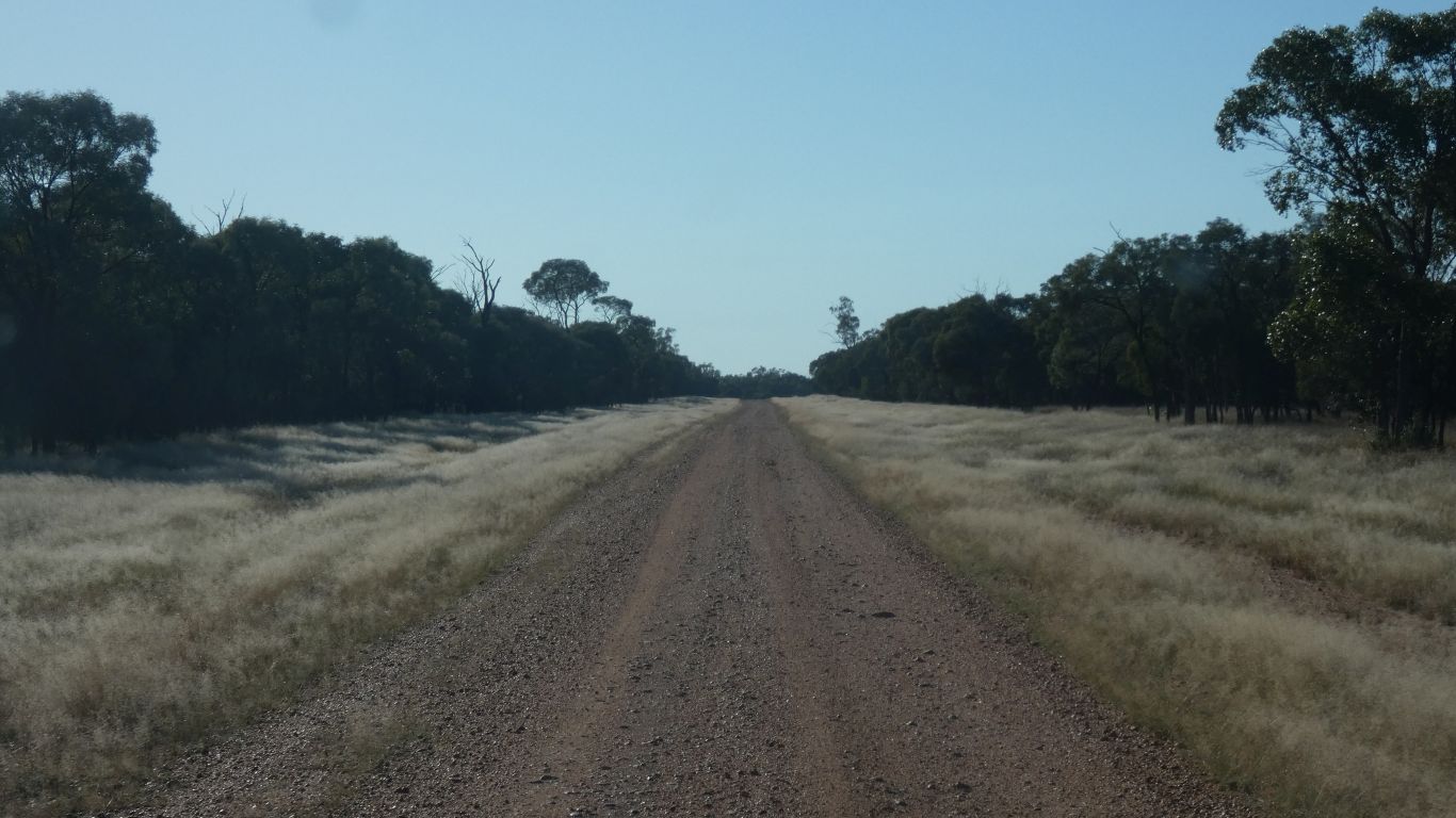
Almost immediately the grass and remnants of mulga give way
to eucalypts. |
| | | |
 |
|
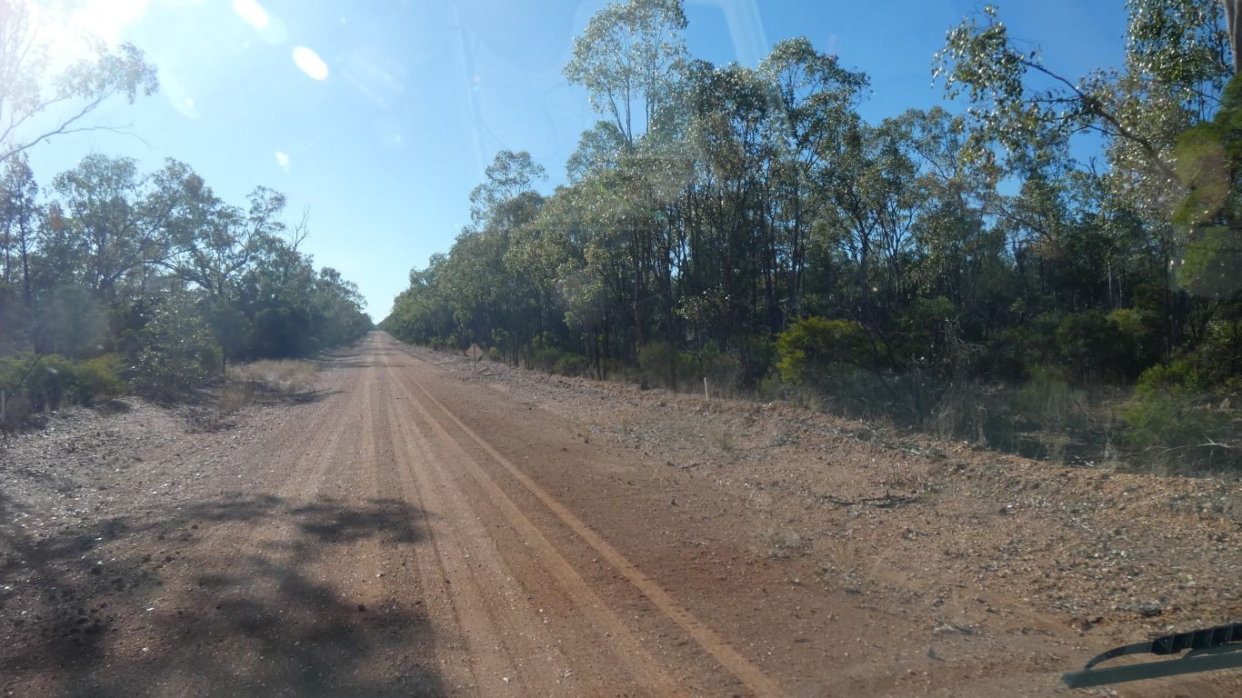
With, we think, some brigalow. |
| | | |
 |
|
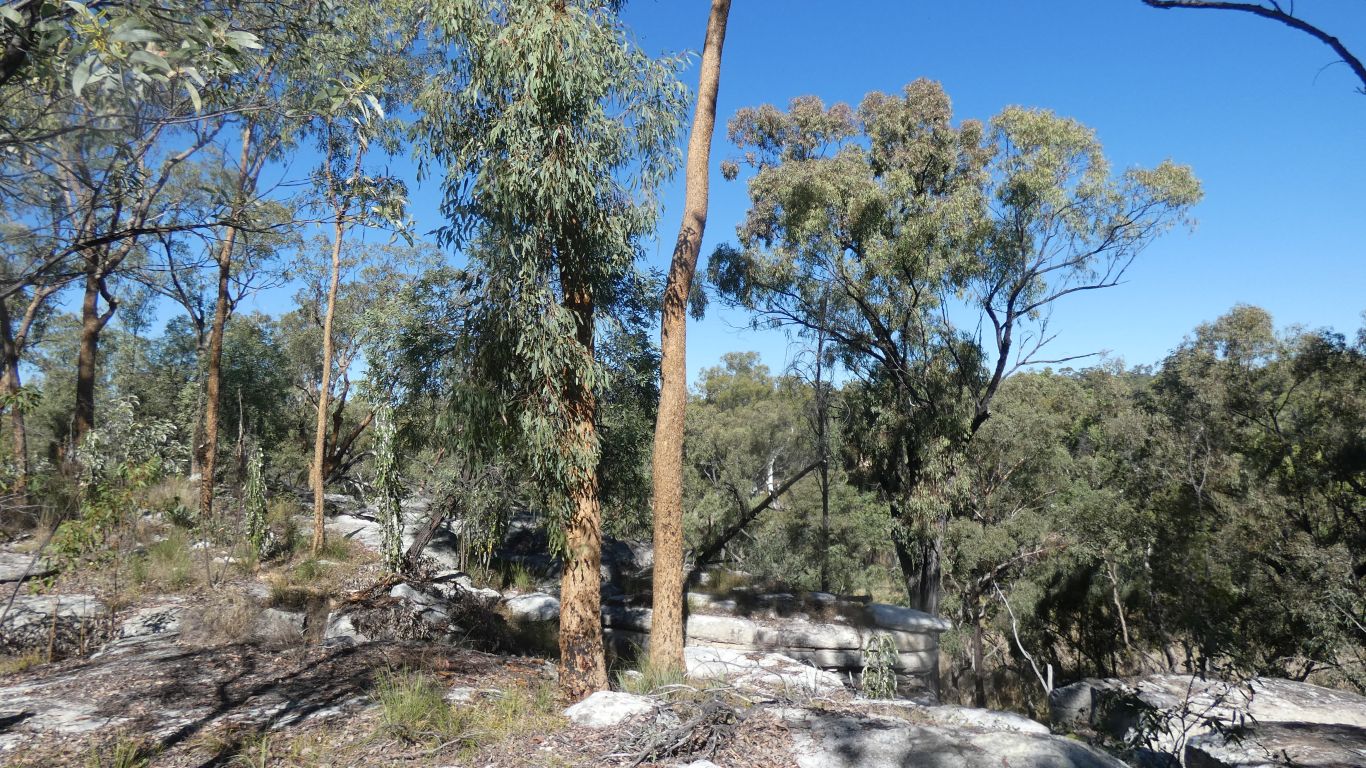
Having ascended to about 600m in the Goodliffe Section of
Carnarvon National Park, leaving the Murray Darling after only a short
distance, we descend to Goodliffe Creek, following it north east.
Goodliffe Creek joins the Nogoa River and eventually the Fitzroy River.
Our route has cut the corner off the north west part of the park, so we
missed the source of the Belyando River. |
| | | |
 |
|
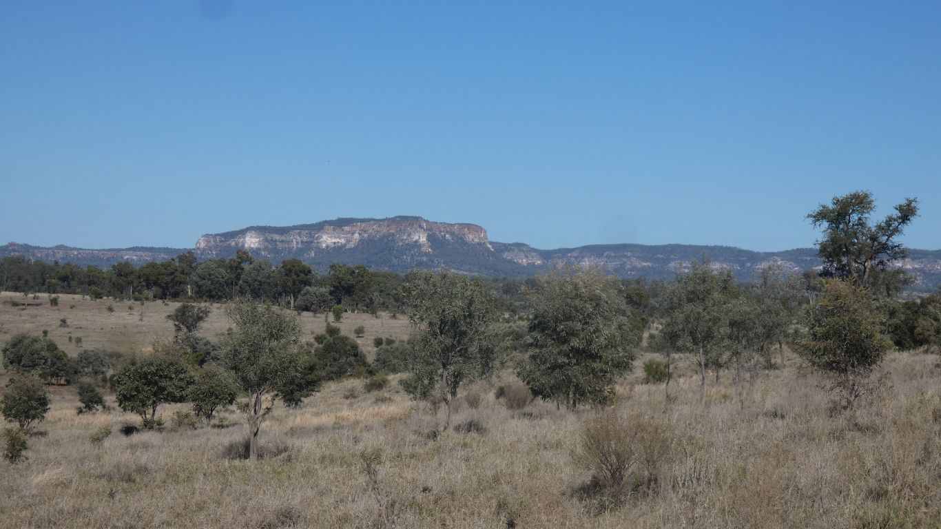
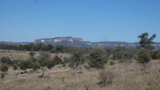
Then out of the park, onto more plains. Perhaps there isn't
a basalt cap this far east. Only to turn south east towards the Salvator
Rosa section of Carnarvon Nat Park. |
| | | |
 |
|
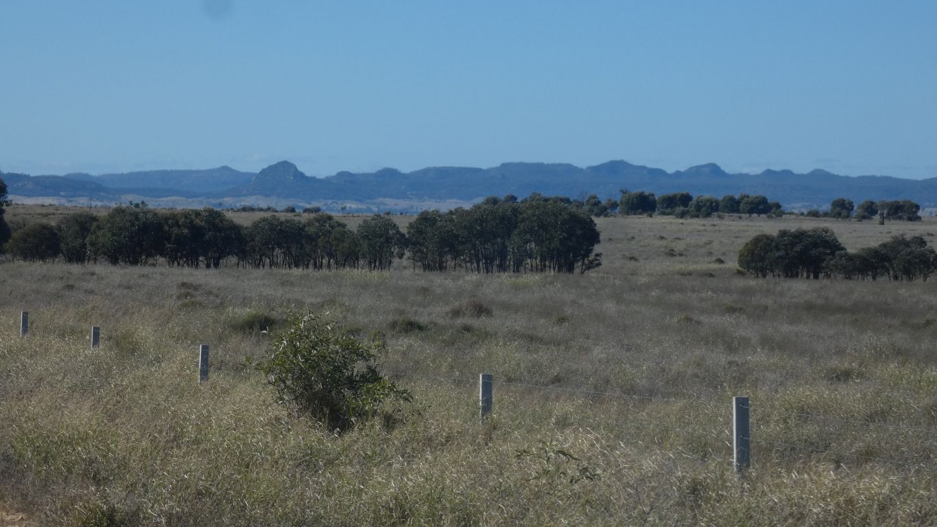
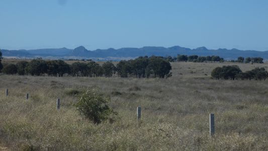
Not Mitchell Grass, that extends northwards from near Tambo.
At least according to the bioregions map ..... knowing that the boundaries
are fuzzy, its more than possible we see patches. |
| | | |
 |
|
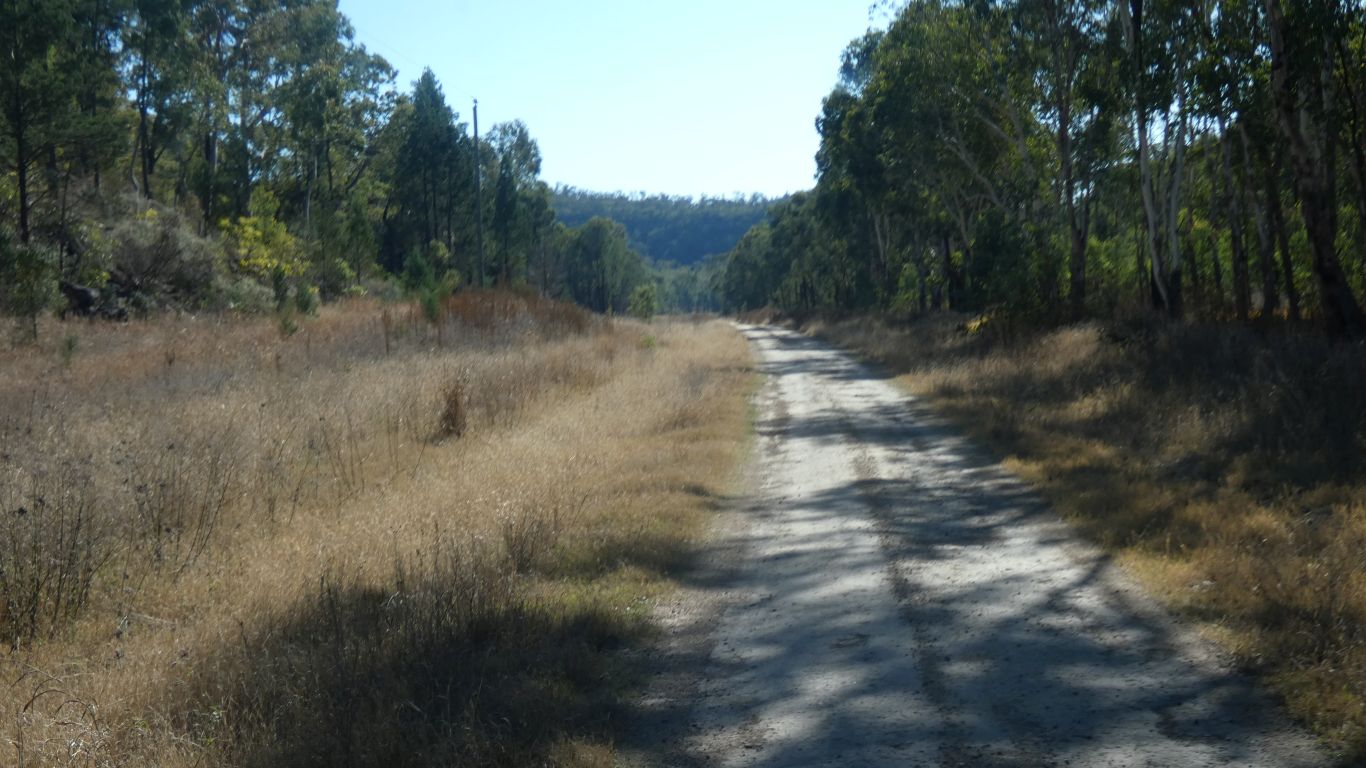
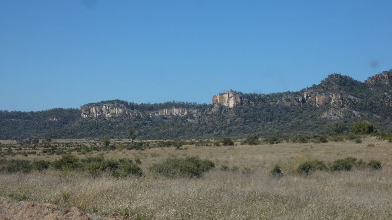
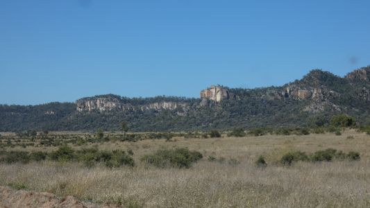
We follow the Nogoa River upstream through farmland. The
cliffs of the park to our right. |
| | | |
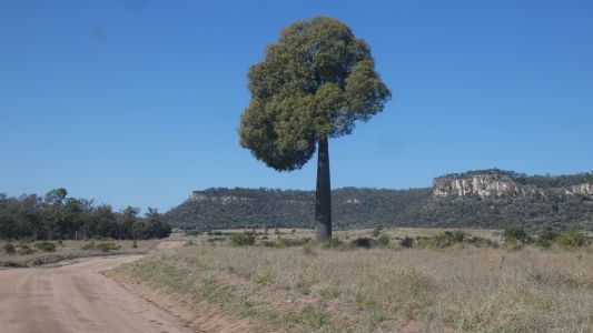 |
|
With the occasional bottle tree. |
| | | |
 |
|
At the Nogoa River Campsite we learn a little more of Major
Mitchell's 1846 expedition. This memorial funded by Queensland Govt.
The landscape apparently reminded Mitchell of the paintings of the 17th
century Italian artist, Salvator Rosa. He thus named a peak and a lake.
I haven't found the lake. |
| | | |
 |
|
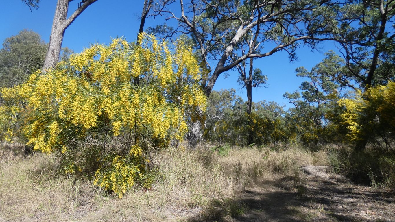
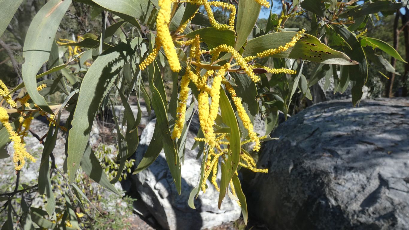
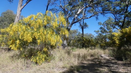
The wattle we saw, just a few km east at West Branch, is
now in full flower. |
| | | |
 |
|
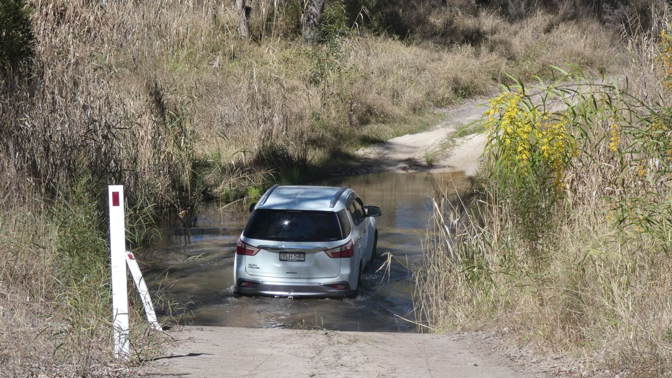
Just past the campsite is a ford across the Nogoa River.
Solid wooden slats for a steep entry, with stones in the base.
We've had a lazy afternoon, just looking arouund the campsite. The ford
is for tomorrow's explore of the park further south. |
| | | |
 |
|
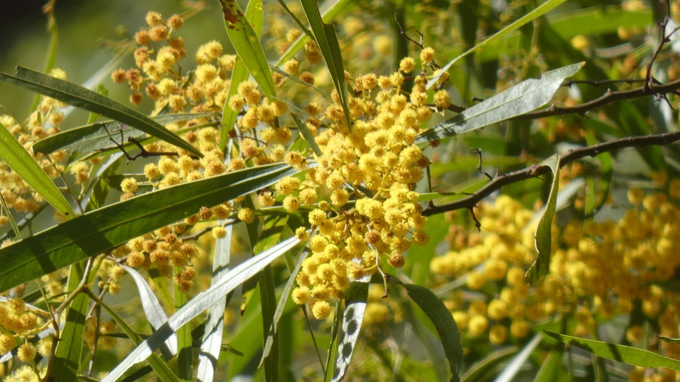
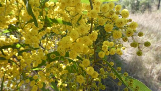
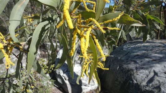
Just checking that the yellow "pom poms" I'm looking at are
really the same plant I saw previosly. |
| | | |
 |
|
With some undeveloped flowers to help the analysis. |
| | | |
 |
|
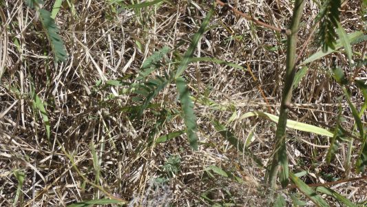
But wait. Armed with the new information about Phyllodes
(the modified leaf stems of mulga) we notice this strange (to us)
arrangement. Seemingly a modified leaf stem, followed by normal leaves.
Alas, no internet means our imaginations can run amock..... |
| | | |
 |
|
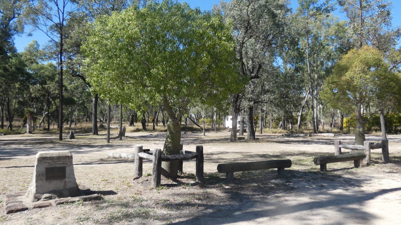
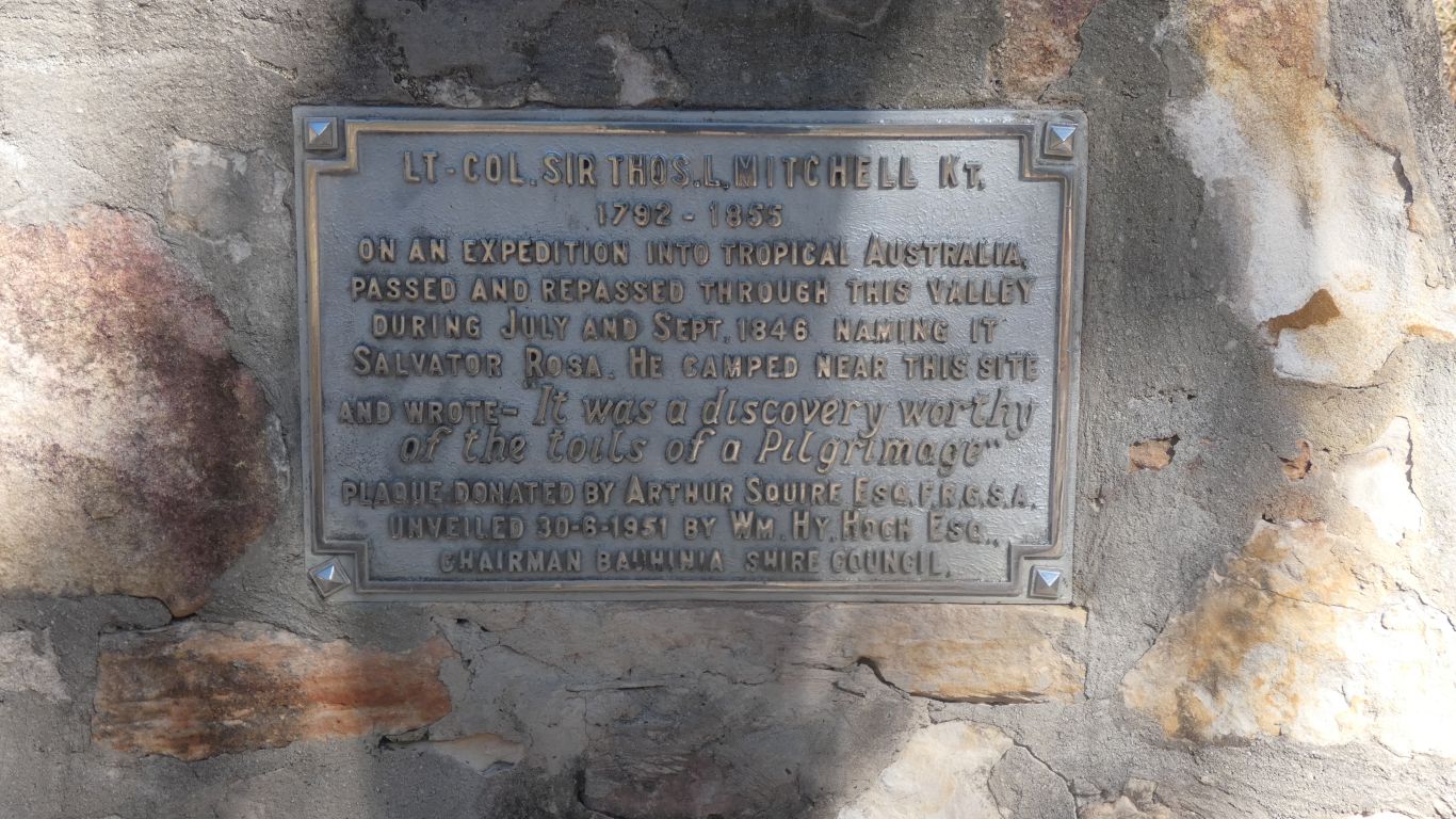
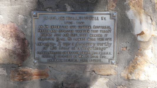
Within 50m of the camp boundary a second, 1951, memorial to
Mitchell's expedition, form Bauhinia Council. The national park was created
in 1957. The park notice board happens to mention that the sands deposited
as precipice sandstone in the Surat Basin were carried in rivers flowing
from the west and north west. The piece of info we started searching for
when we first encountered the sandstone in Precipice and Expedition parks.
Perhaps we can expect the sandstone here to be more coarse than further
south and east. It "looks" a bit more fragile.
Possibly a sense of erosion difference in the south east. Those satellite
pics of Expedition and Precipice parks suggesting erosion patterns
consistent with finer particle size. While entertaining the possibility we
are imagining. |
| | | |
 |
|
Not all yellow flowers are wattle. This is a gum tree. |
| | | |
 |
|
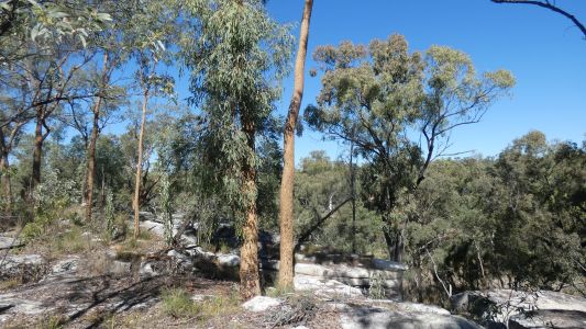
And these eucalypts on the sandstone near the camp are, we
think, yellow-jackets. with distinctive orange-yellow bloodwood bark. We
expect to see more. |
| | | |
| Carnarvon National Park, Salvator Rosa,
Short Walks |
|
August 4 2023 |
| | | |