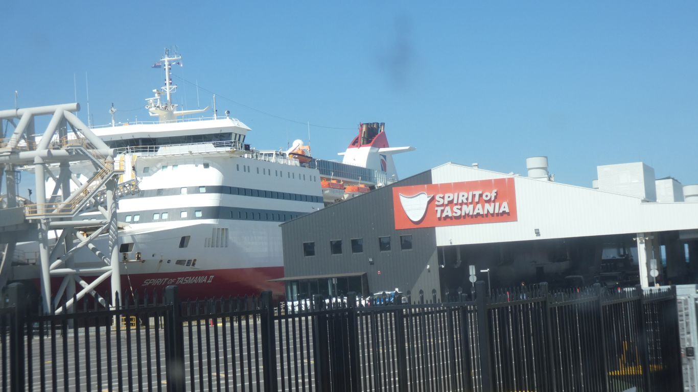
Some last minute spare parts. Some essentials for overnight bush walks. Fish and chips before boarding the overnight ferry.
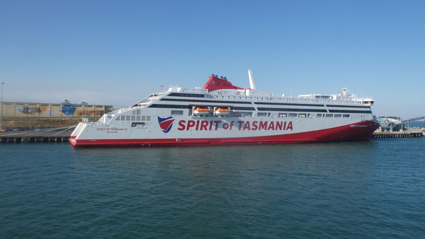
It will be October before its first scheduled sailing. The wharf in Devonport will have been completed and the vacuum mooring strengthened. A bit of a comedy of errors, but eventually it will work.
The only minor hiccough was when quarantine people spotted the remnants of cattle droppings I must have driven through stuck to the front of a fuel tank. A soft brush provided to clean it off.
I didn't have to raise the roof for inspection. Just open the door. I guess we looked honest. We had no fresh fruit or veggies.
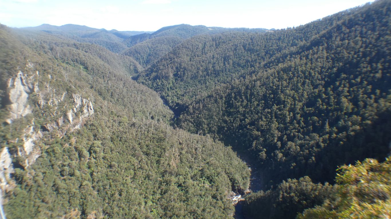
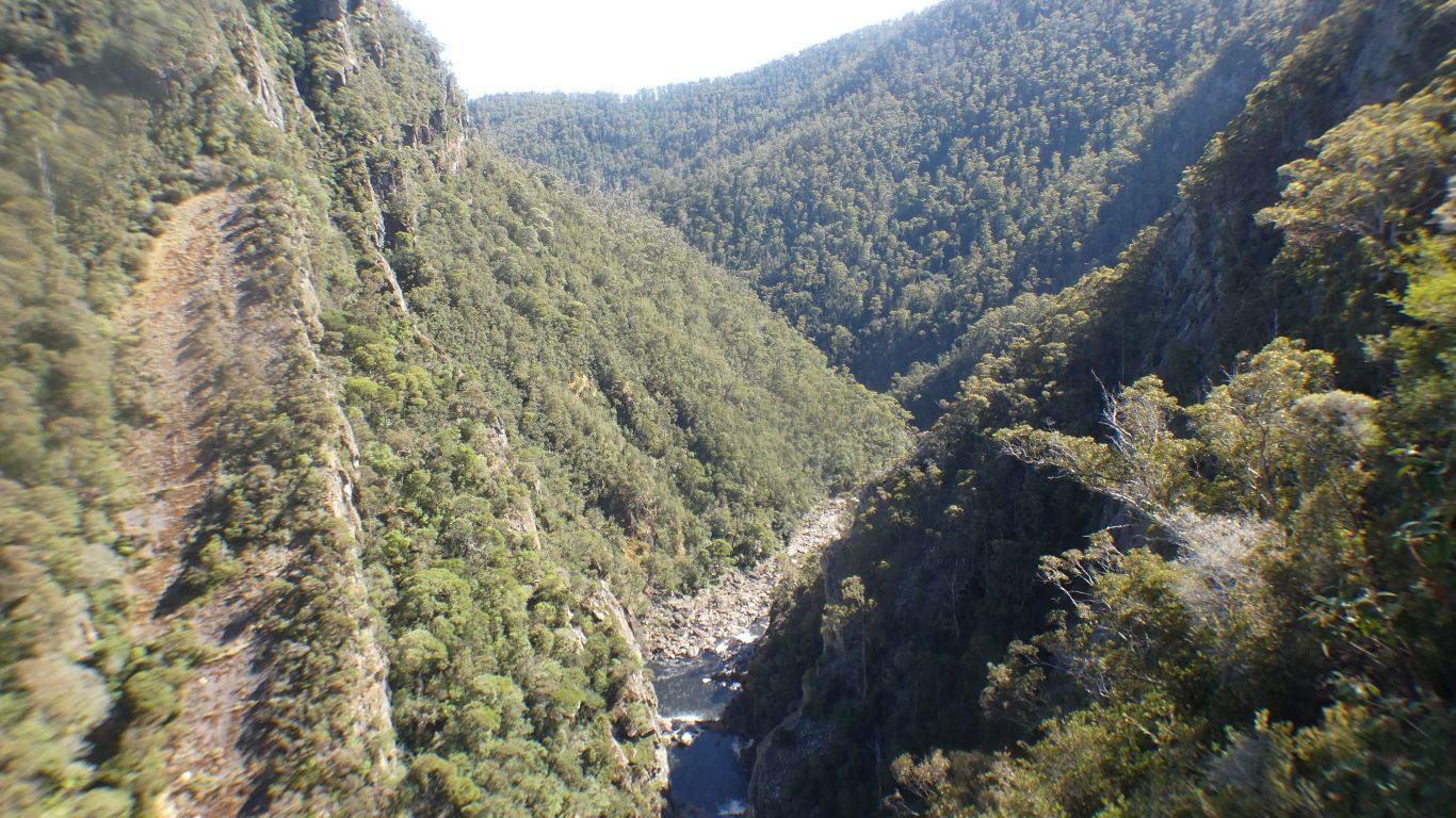
We couldn't decide whether to head east or west first. So we headed south. To Leven Gorge. We will look at west coast after that, on the assumption that the weather will be ok. East coast later when west coast weather packs in.
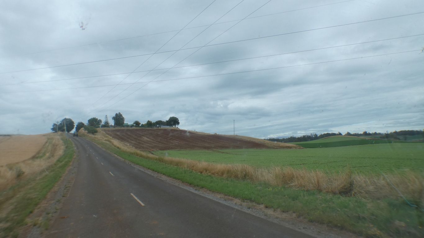
The small farm sizes and crops are alien to us. Lots of potatoes, and flowers. The red earth and spuds reminded us of a potato growing area of China. Perhaps volcanic soils.
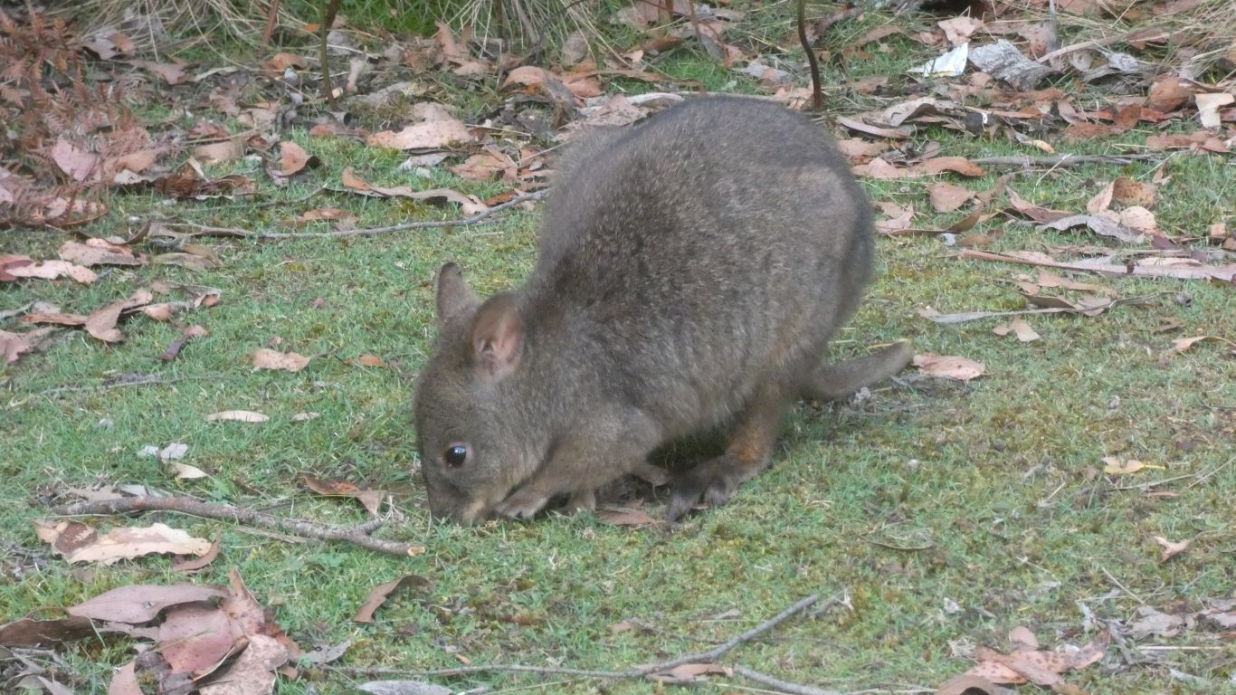
Apparently we will see lots of padmelons on our travels. Smaller and extra thick fur for the cold. Used to people as it grazed a couple of meters from the truck.
Cruickshank was the local farmer who among other things donated land for the canyon reserve.
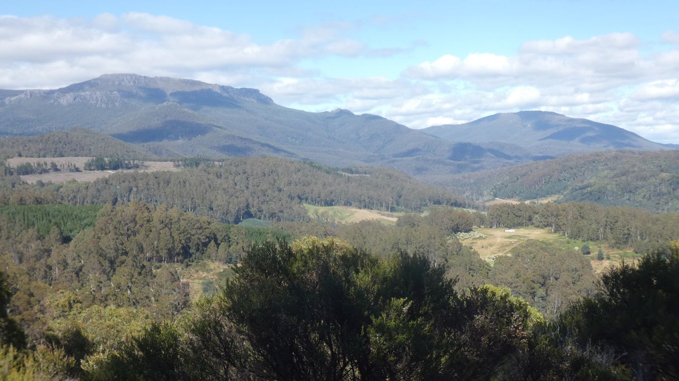
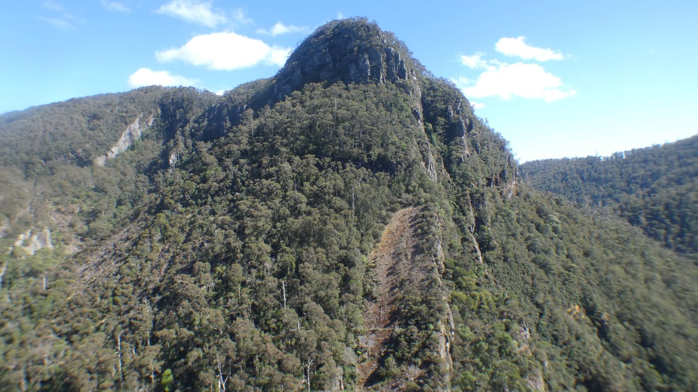
Looking south west.
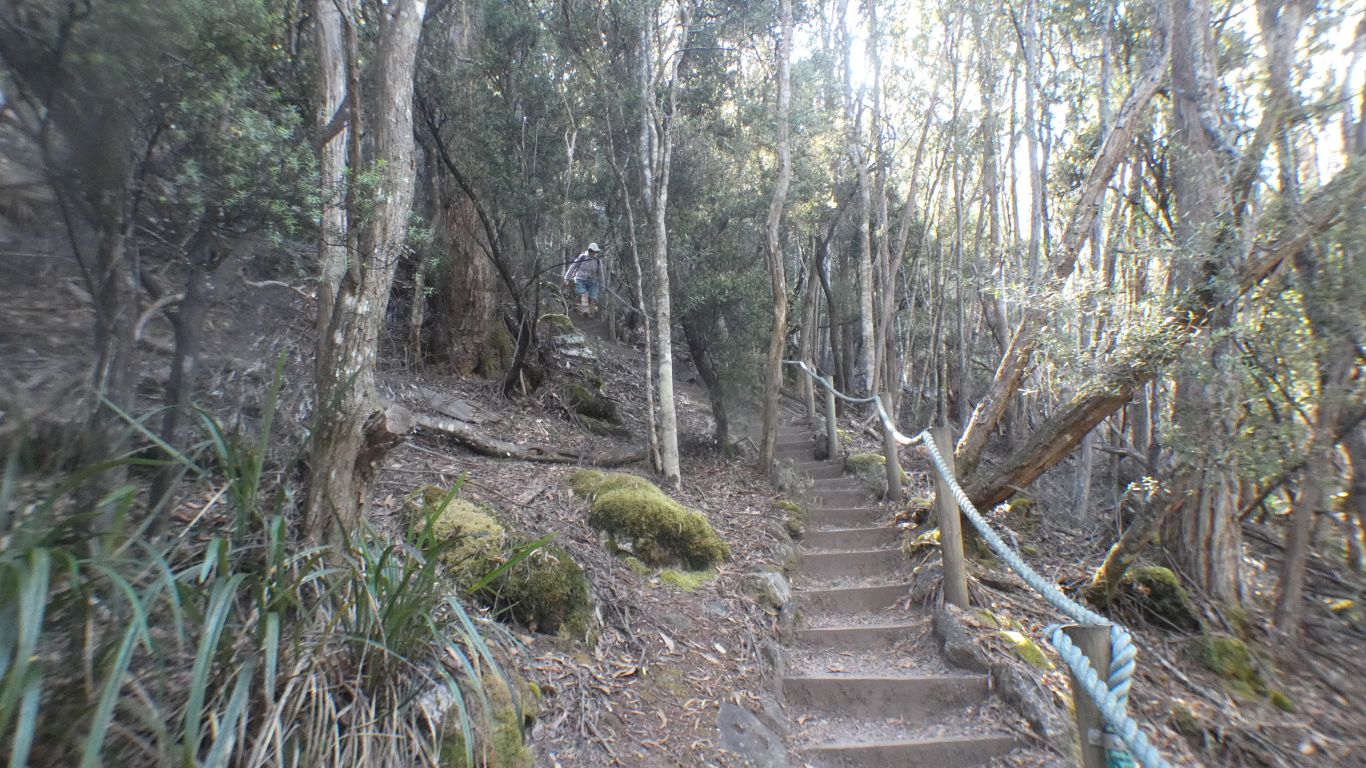
Not at all like the high steps of Stirling Range or Mt Augustus which nearly defeated us.
Less than an hour for the circuit. Our first Tassie walk. Hopefully first of many.
We will walk the same track in and out.
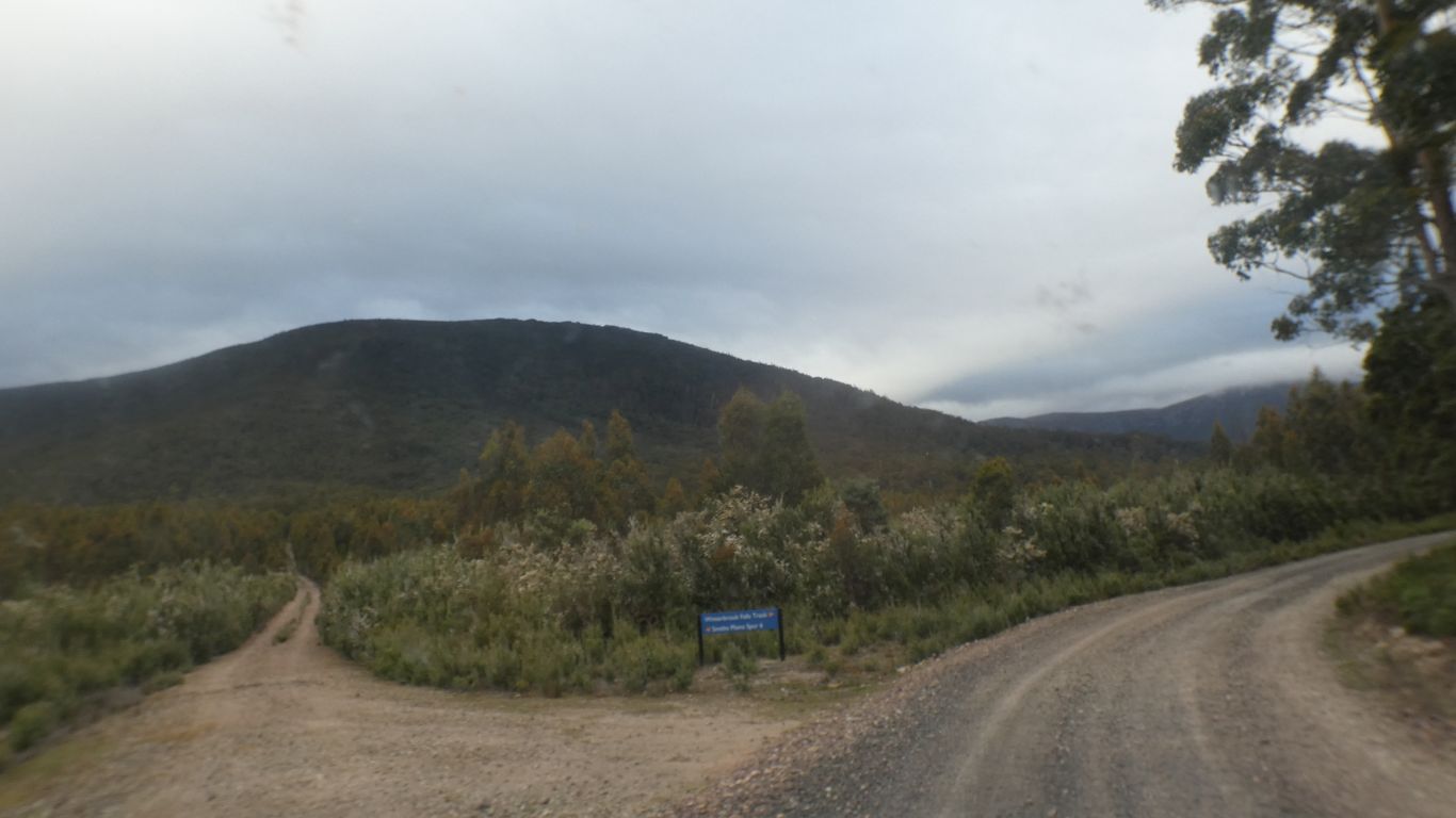
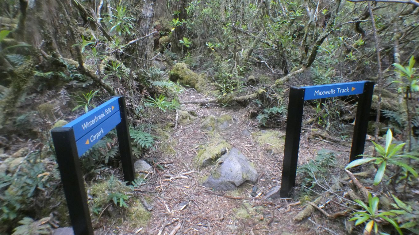
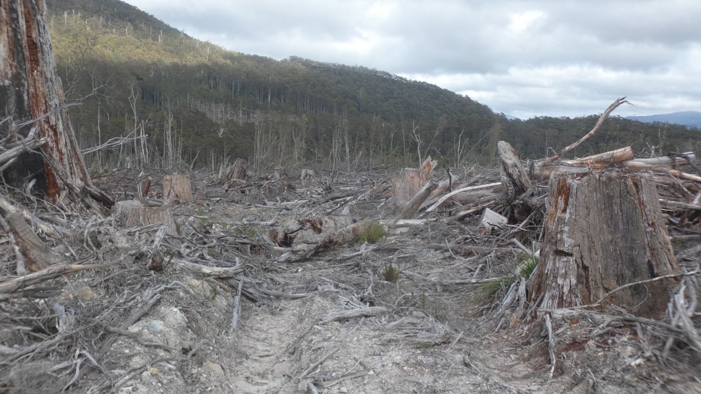
Based on the latest available information, we parked and camped at the quarry, about a km before the start of the walking track.
Had we driven the last km we would have discovered the original car park at the start of the walking track had been cleared, and new signs erected.
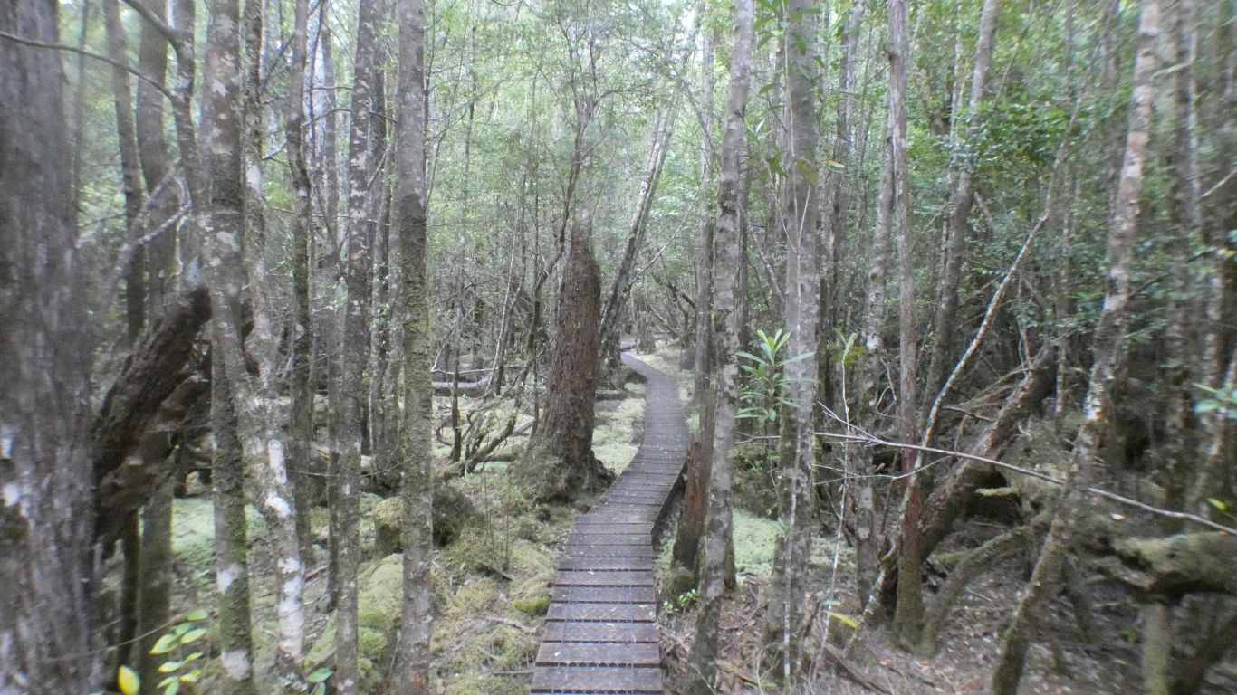
Very dry for us, we are crossing sphagnum moss on the boardwalk.
Lots of it.
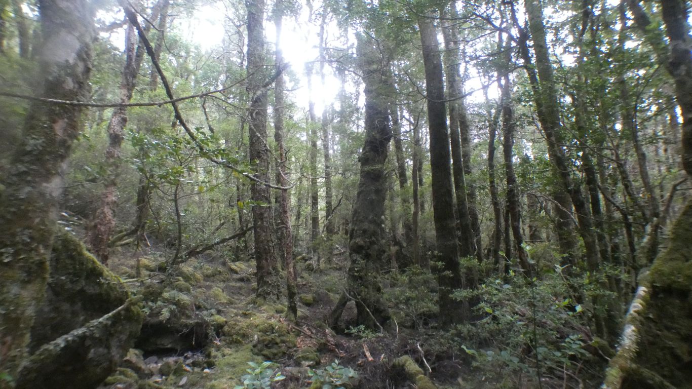
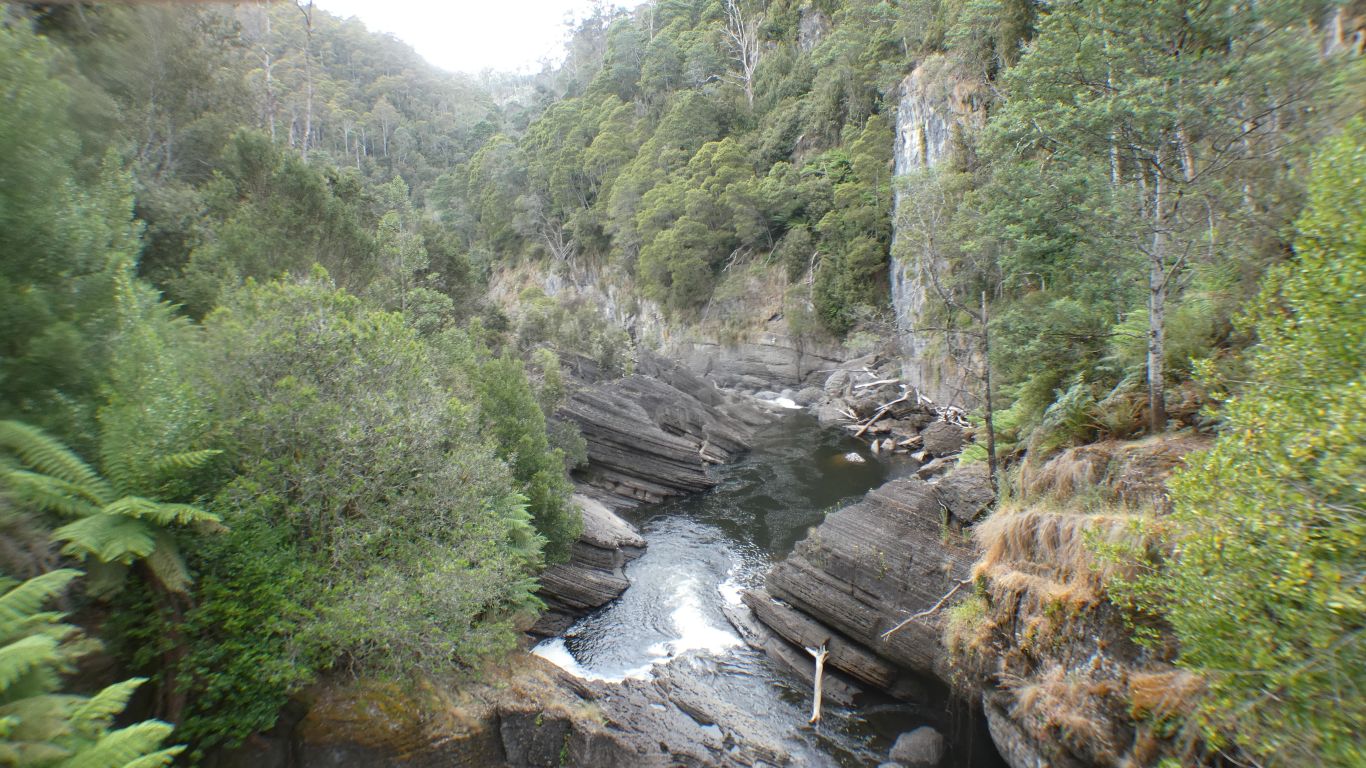
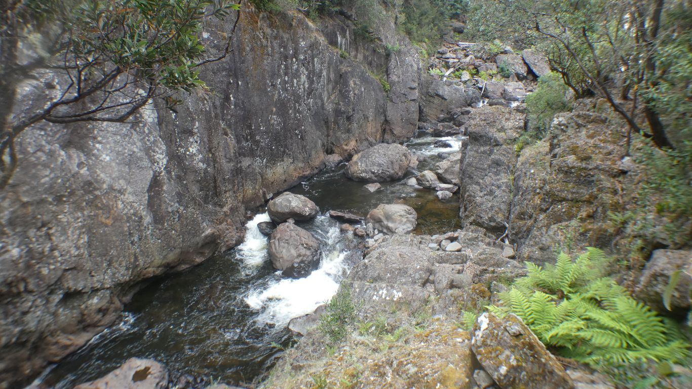
We thought we were on a waterfall walk. In retrospect the trees were of more interest.
Few remaining in Tassie, apparently some behind the lodge at Cradle Mountain.
We didn't know enough to look on the ground for the very distinctive foliage fallen from the pines.
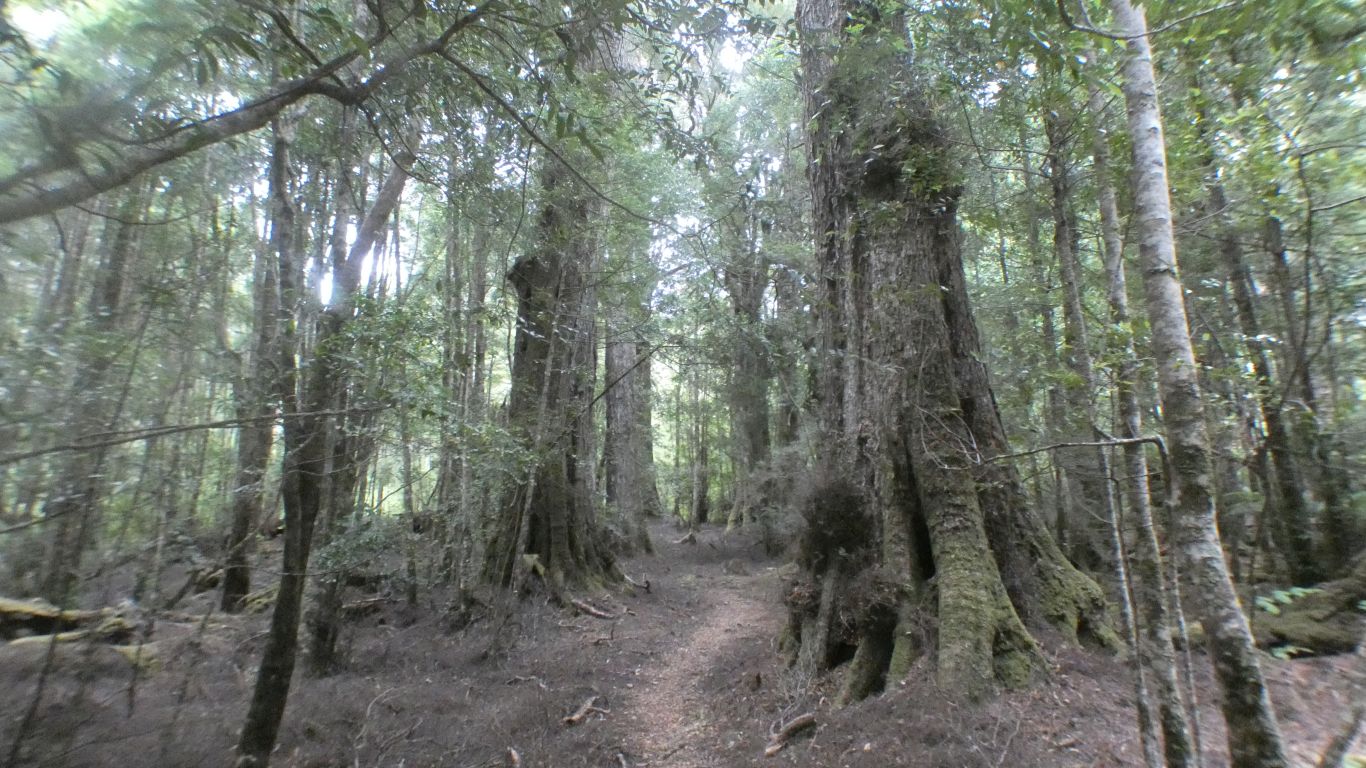
We think these large trees are Myrtle Beech. There are similarities with the beech forests we experienced in New Zealand mountains.
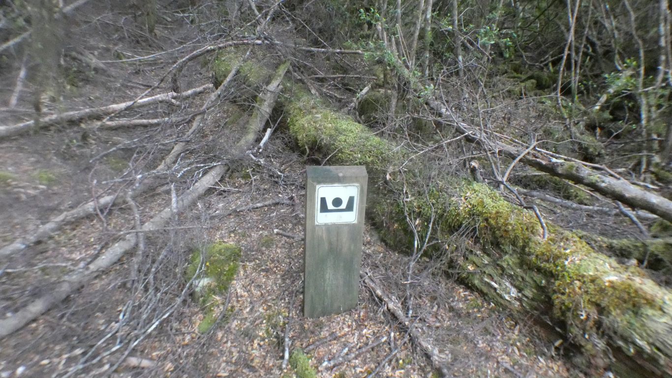
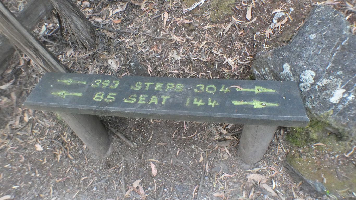
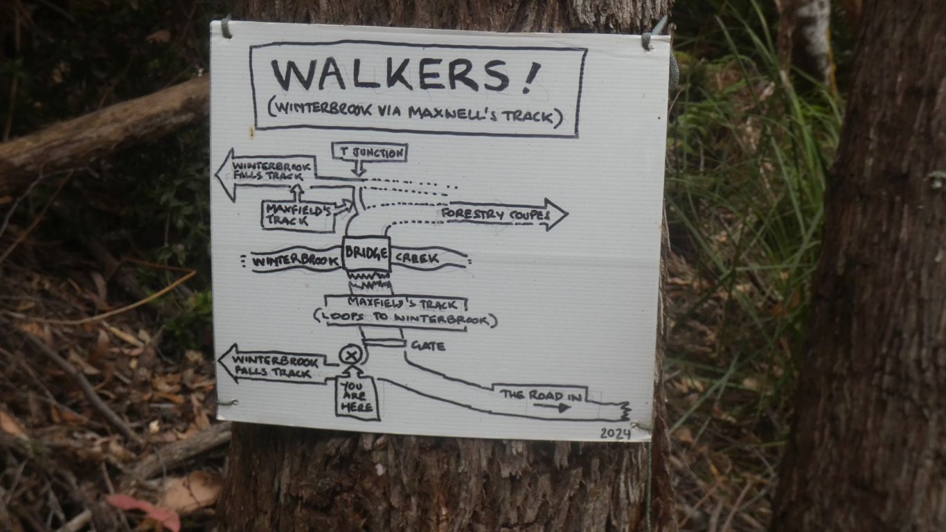
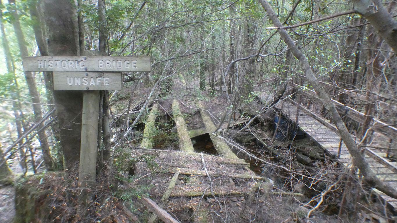
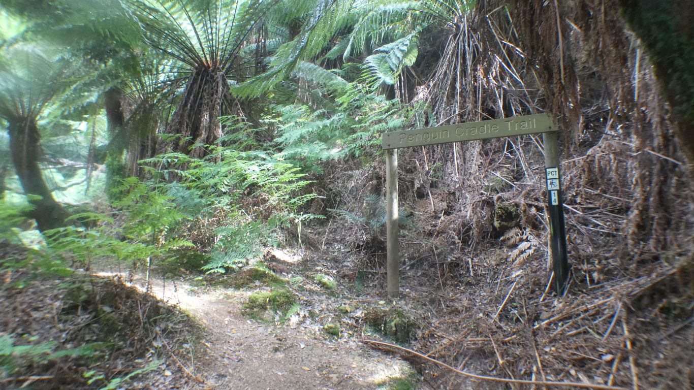
It took some time for us to figure out what the sign meant.
We think it indicates a snig track, where bullocks used to drag felled trees.
Our least favourite search thinks its a person with arms raised indicating a track - we have our doubts but generally struggle with abstract icons.
Its no longer a tram track as we have been walking uphill for some time.
Not today. We are aiming to slowly improve our strength and fitness for longer walks. Too much too soon could spell disaster for the whole trip.
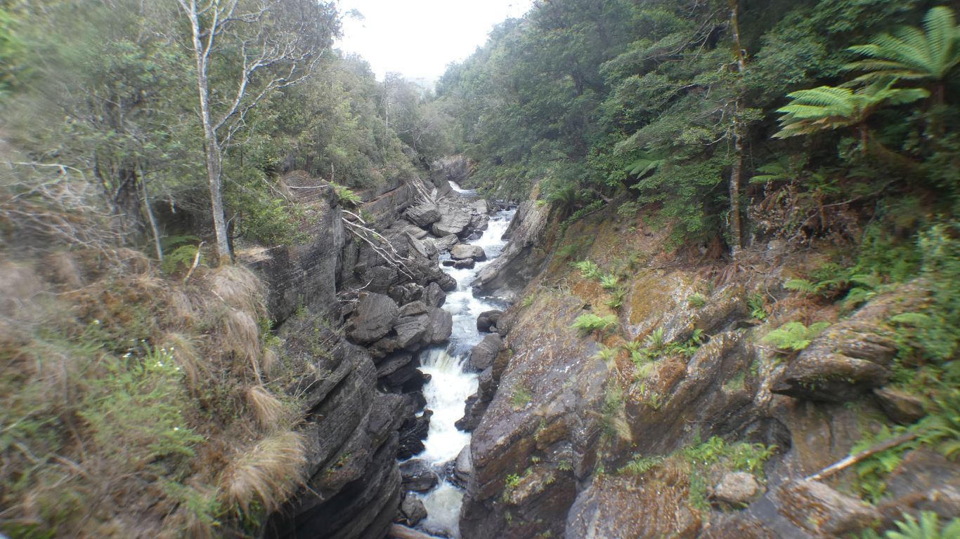
The last bit of track up to the base of the falls is steep enough for us today.
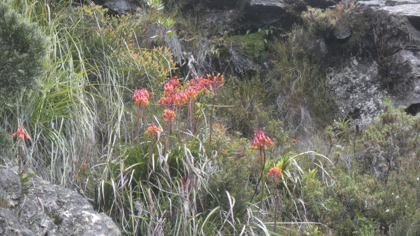
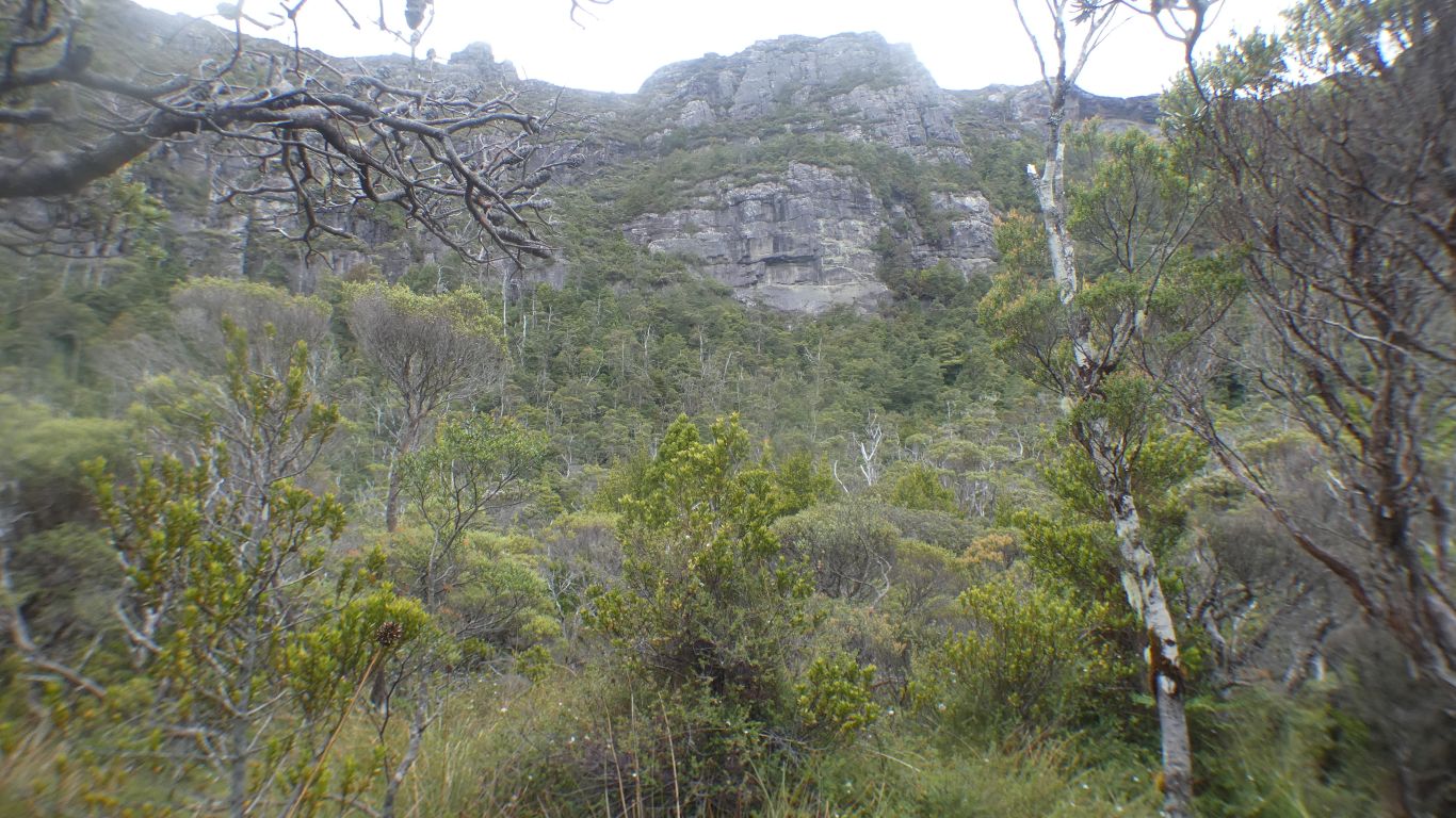
We've emerged from forest into an area of heath. Plants near the waterfall are different again due to spray in the air.
Lots of tree roots across the path - we are pleased its dry.
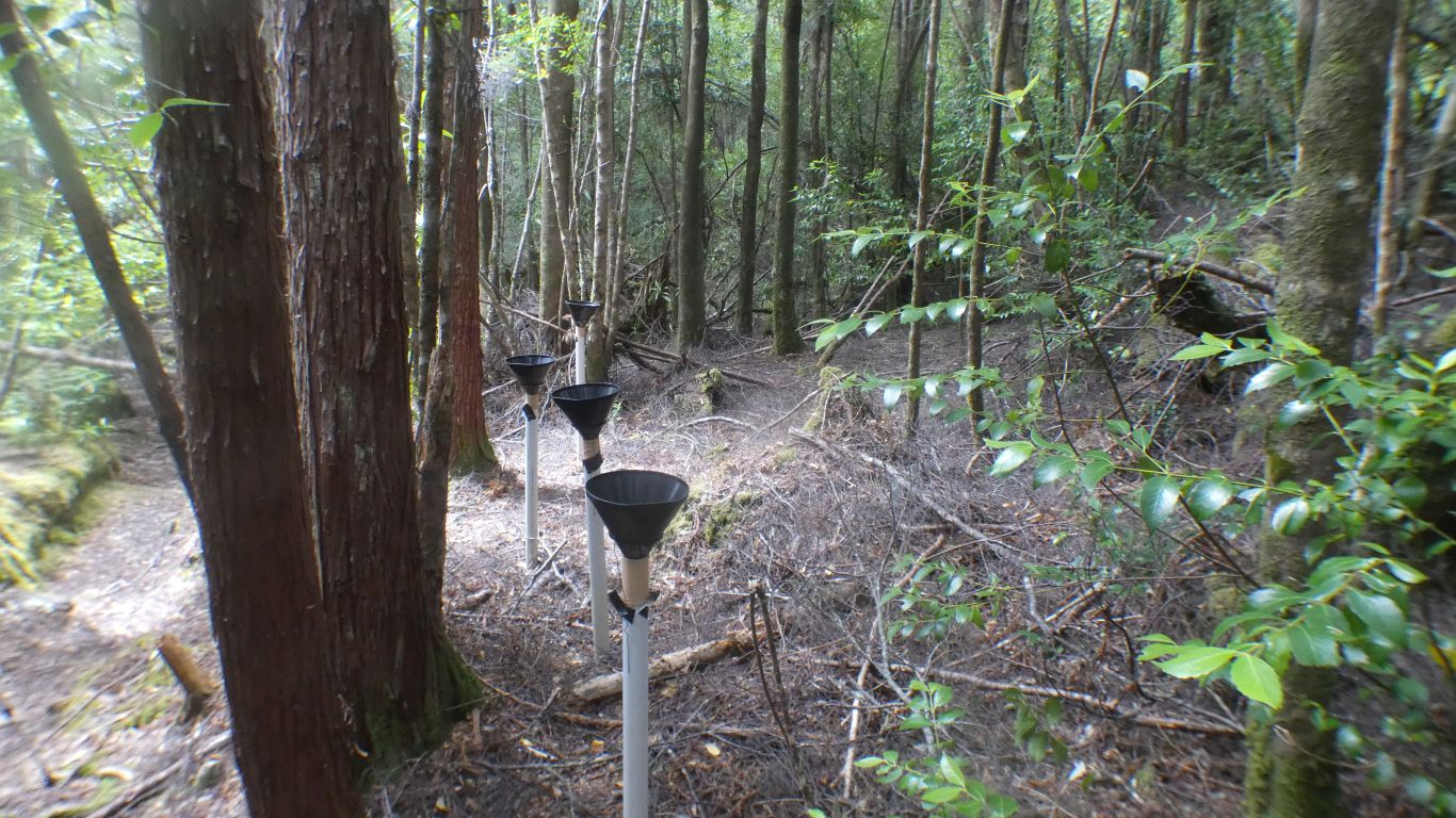
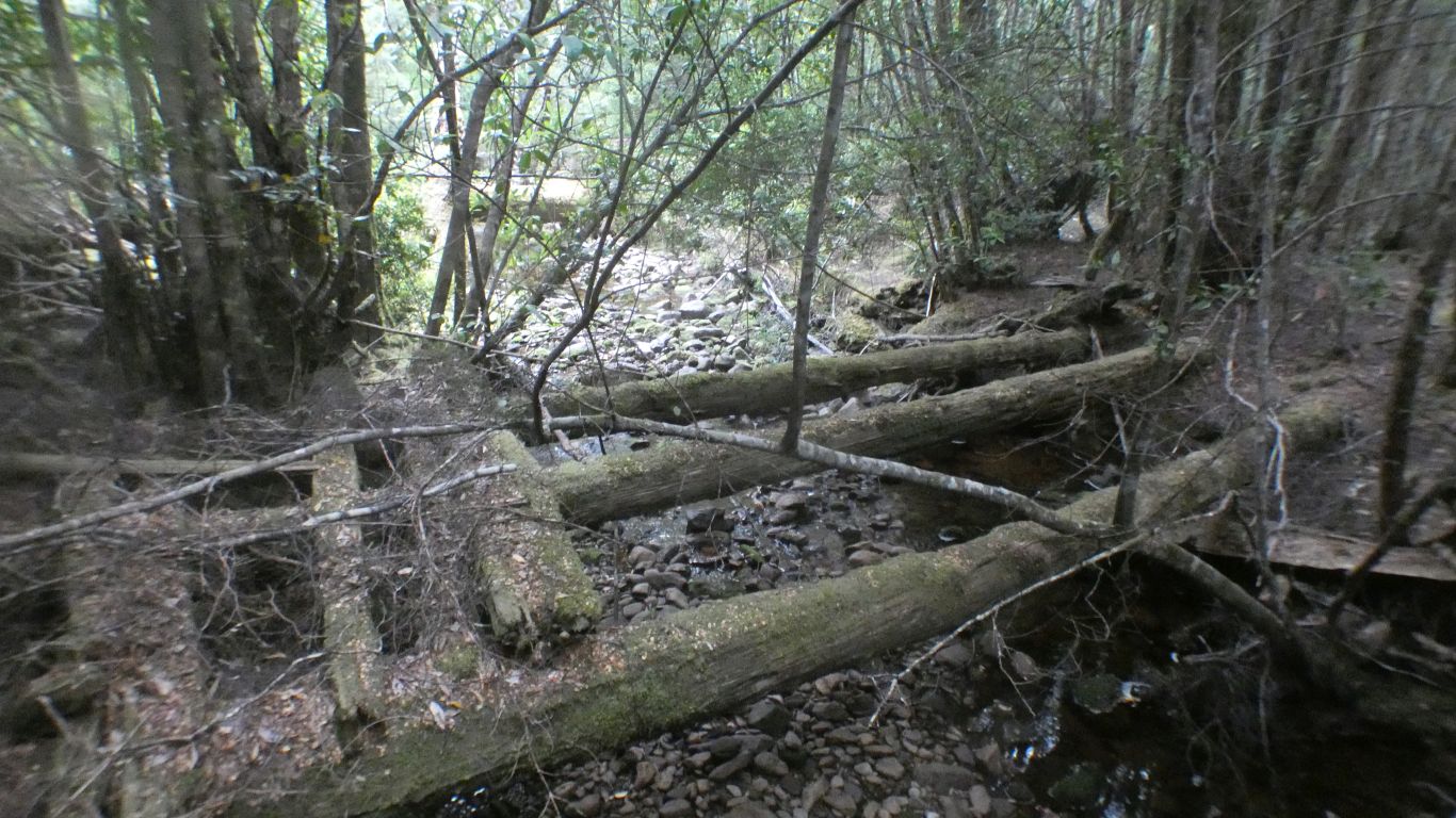
They catch seeds falling from trees as part of a survey started in 2004. We don't know if the survey is still happening. We can't find any papers on the results.
In this case underneath sassafras trees. The survey is interested in synchronised seeding - flood the area with seeds so at least some survive predation.
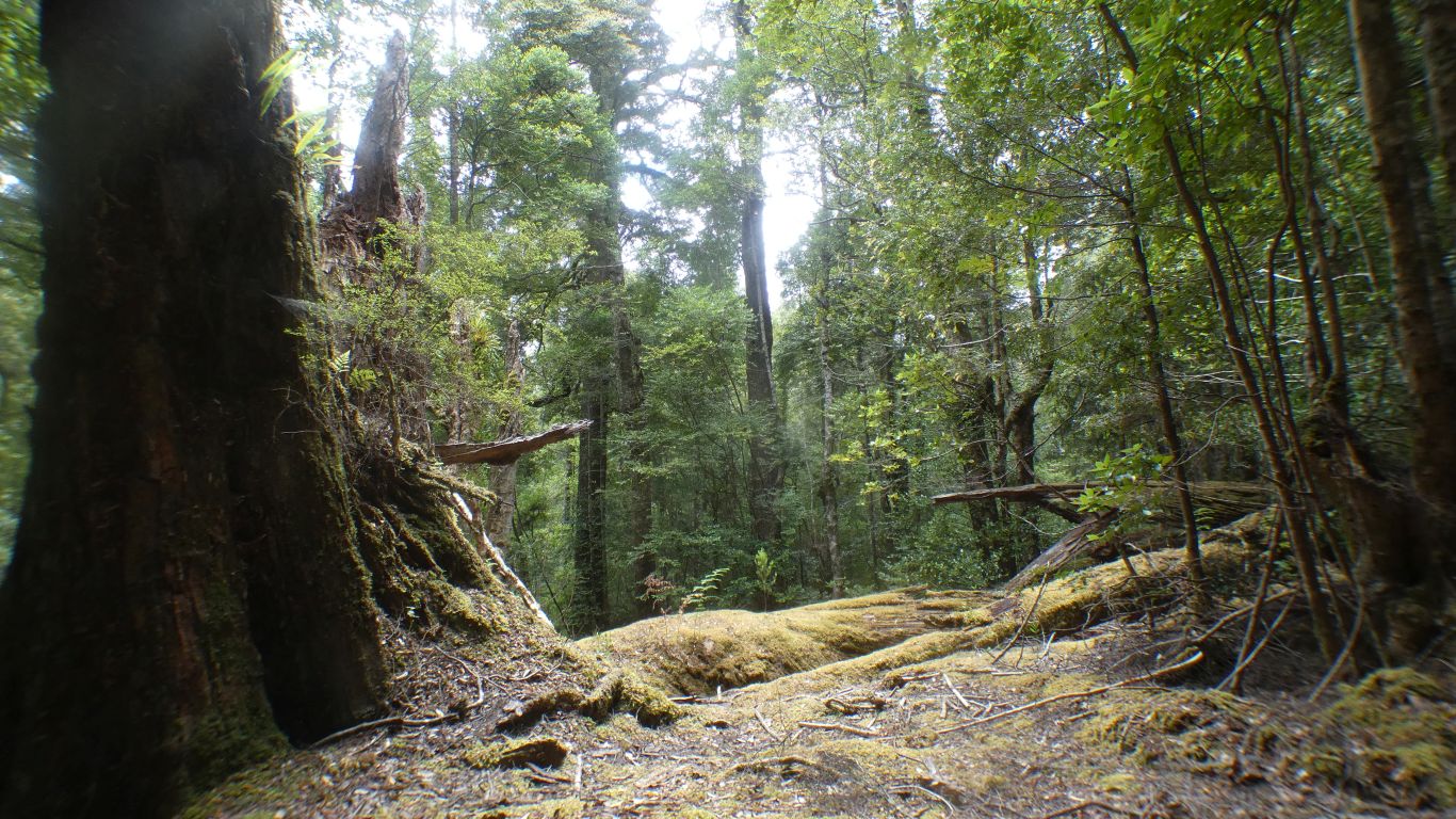
Either way its big. As is the one standing.
Looking at pics after return to the truck we think we can identify some distinctive fallen foliage as being from a pine. Or perhaps wishful thinking.
We'll know what to look for "next time".
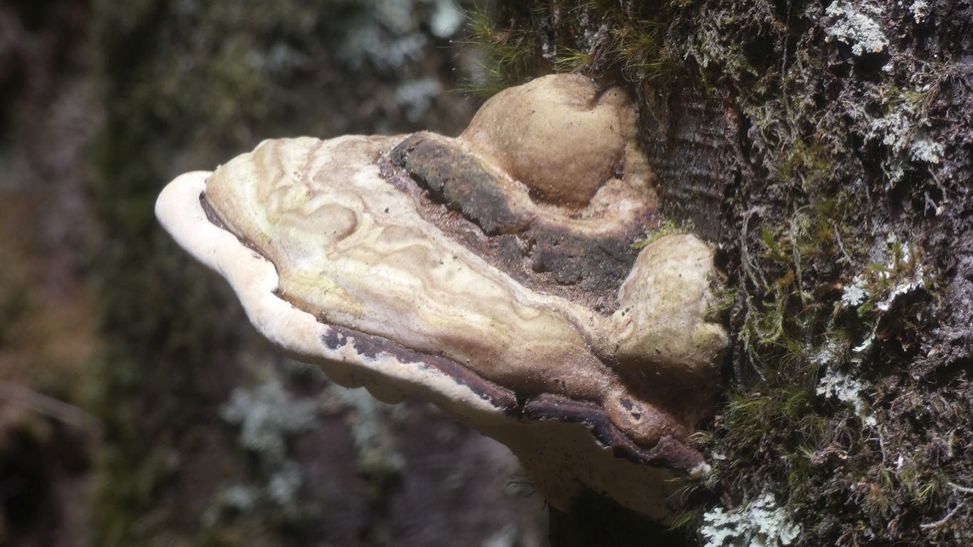
If the forest had been more wet we probably would have seen more fungi. But then the walk would have taken twice as long avoiding slippery tree roots and mud.
We are tired, achy, and happy.
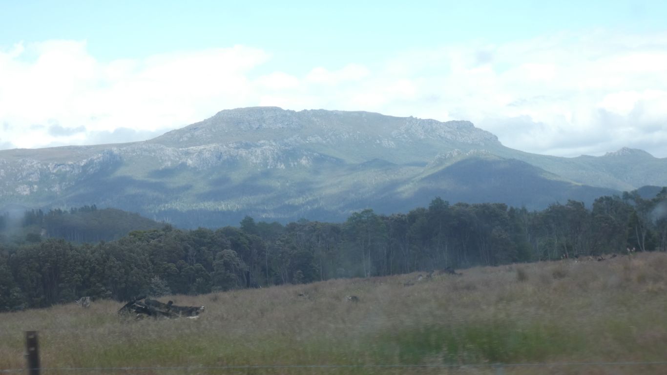
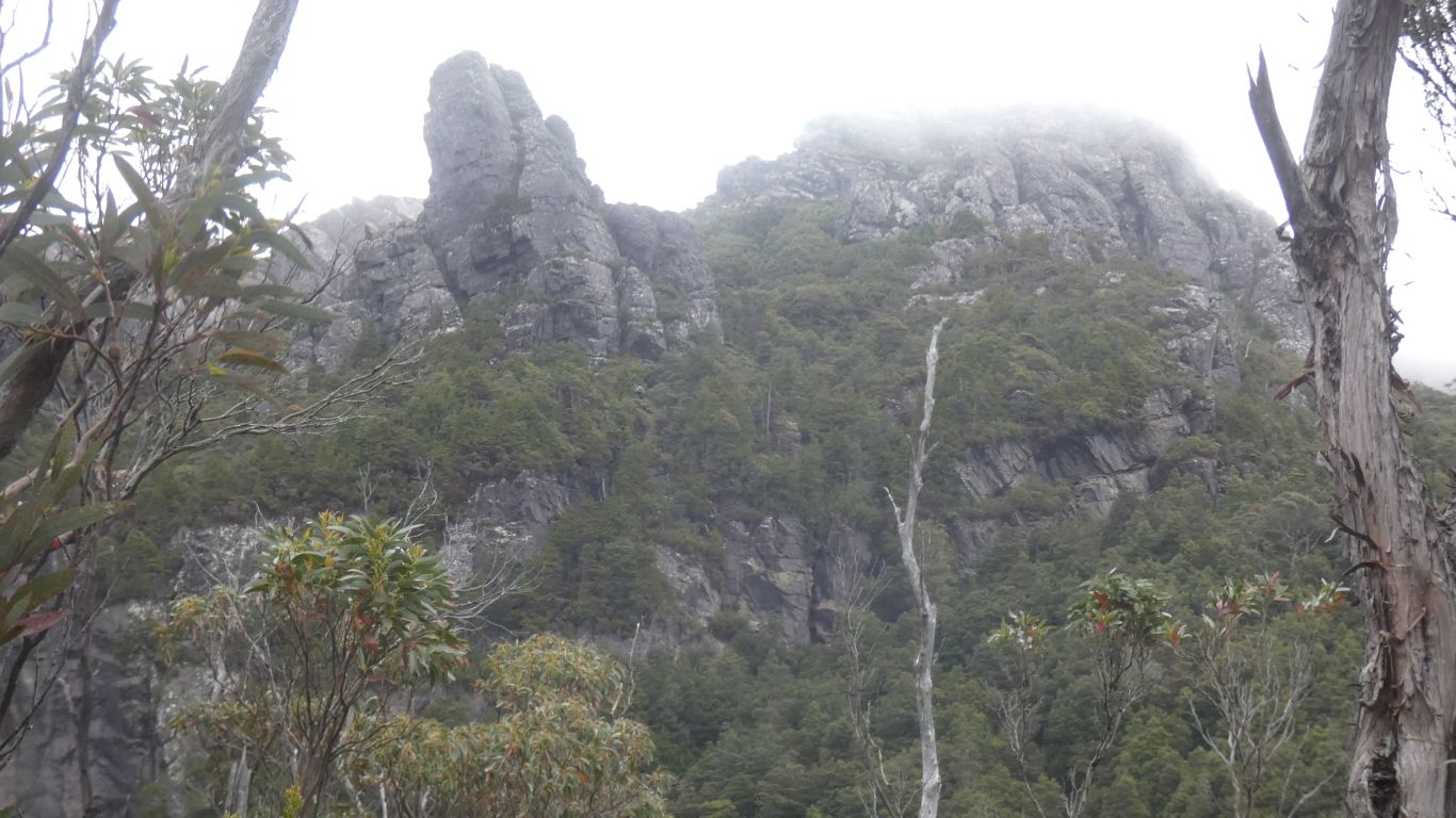
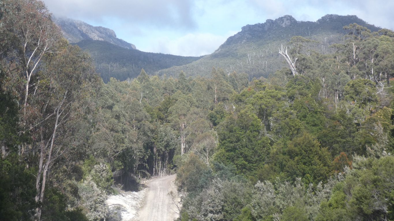
Next morning we drive further into the forest. With views to Black Bluff.
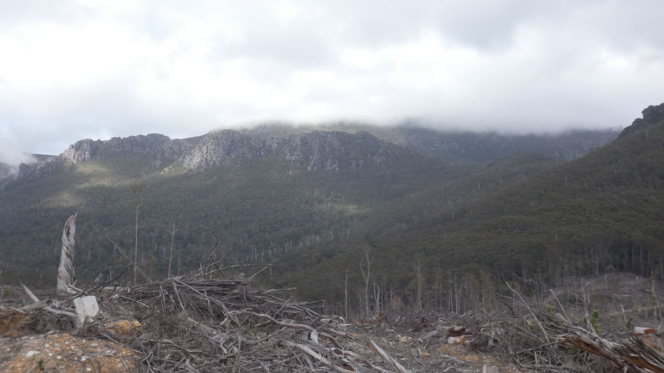
The rainforest is slow growing.
We have a book of short walks. We know of longer publicised walks, like Overland Track and Three Capes. As we look at maps we realise there is a matrix of connected tracks across the whole island. We are spoiled for choice, at the same time as not knowing how to choose.
We sit for a while then climb back up the very civilised steps.