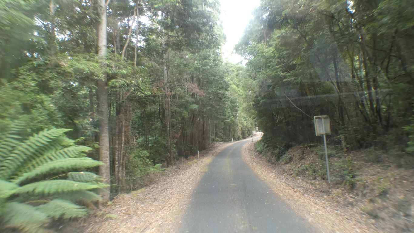
Its next to the road, and involves 12 paces from vehicle to view. There is no walk.
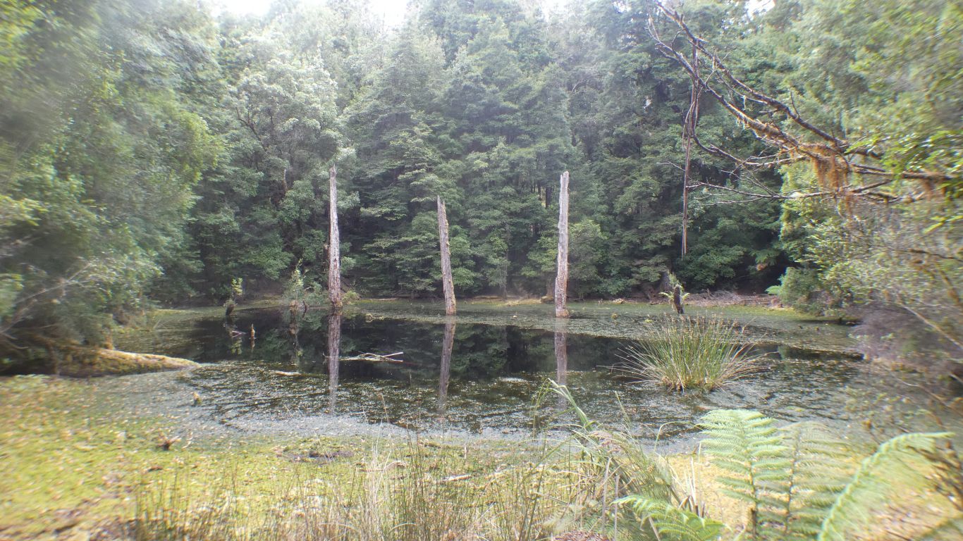
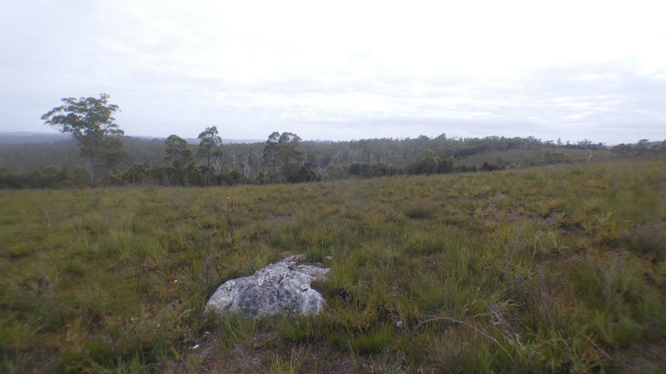
Sinkholes form in limestone or dolomite. Very occasionally in other sedimentary rocks.
We guess that at some stage it was dry, any water draining through the cave that collapsed. When vegetation blocked the escape water remained in the sinkhole and drowned the three trees.
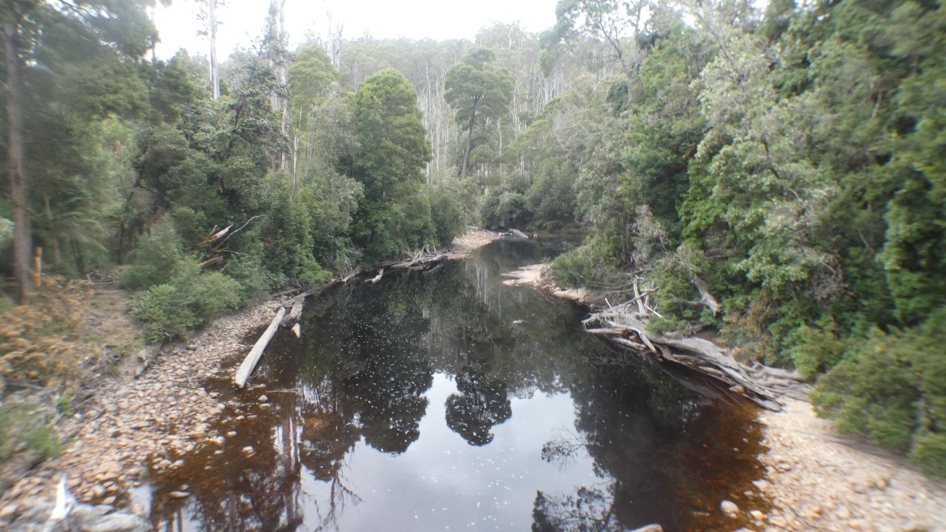
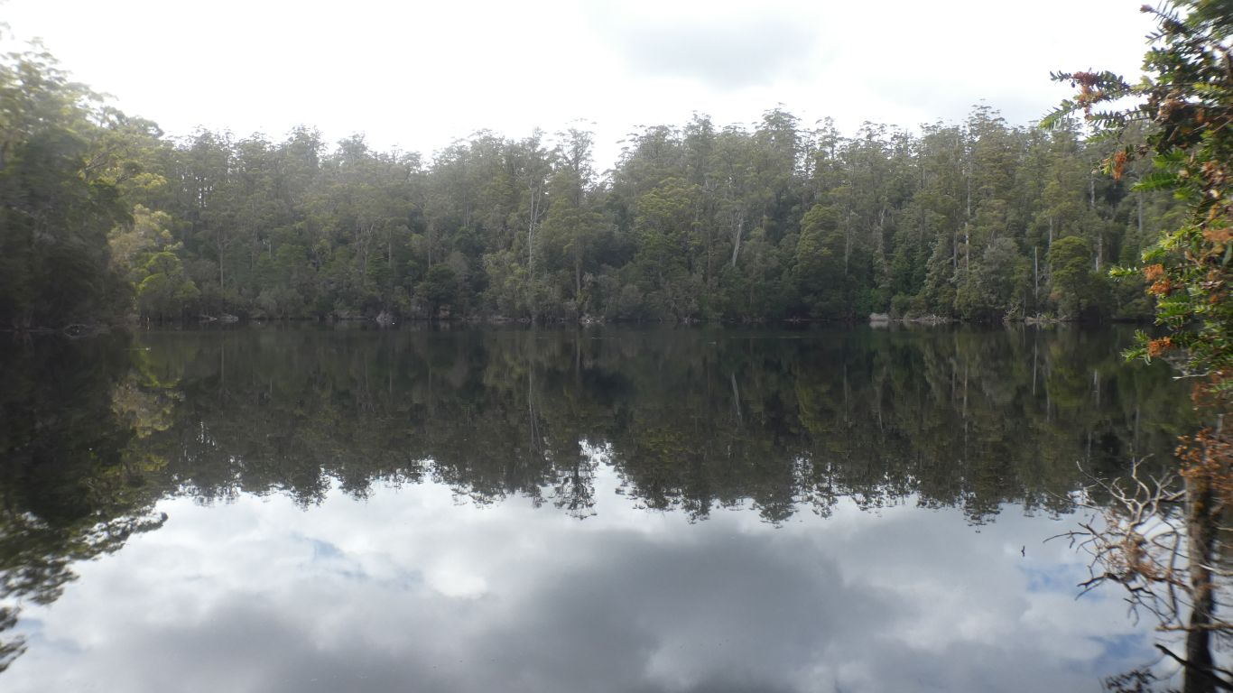
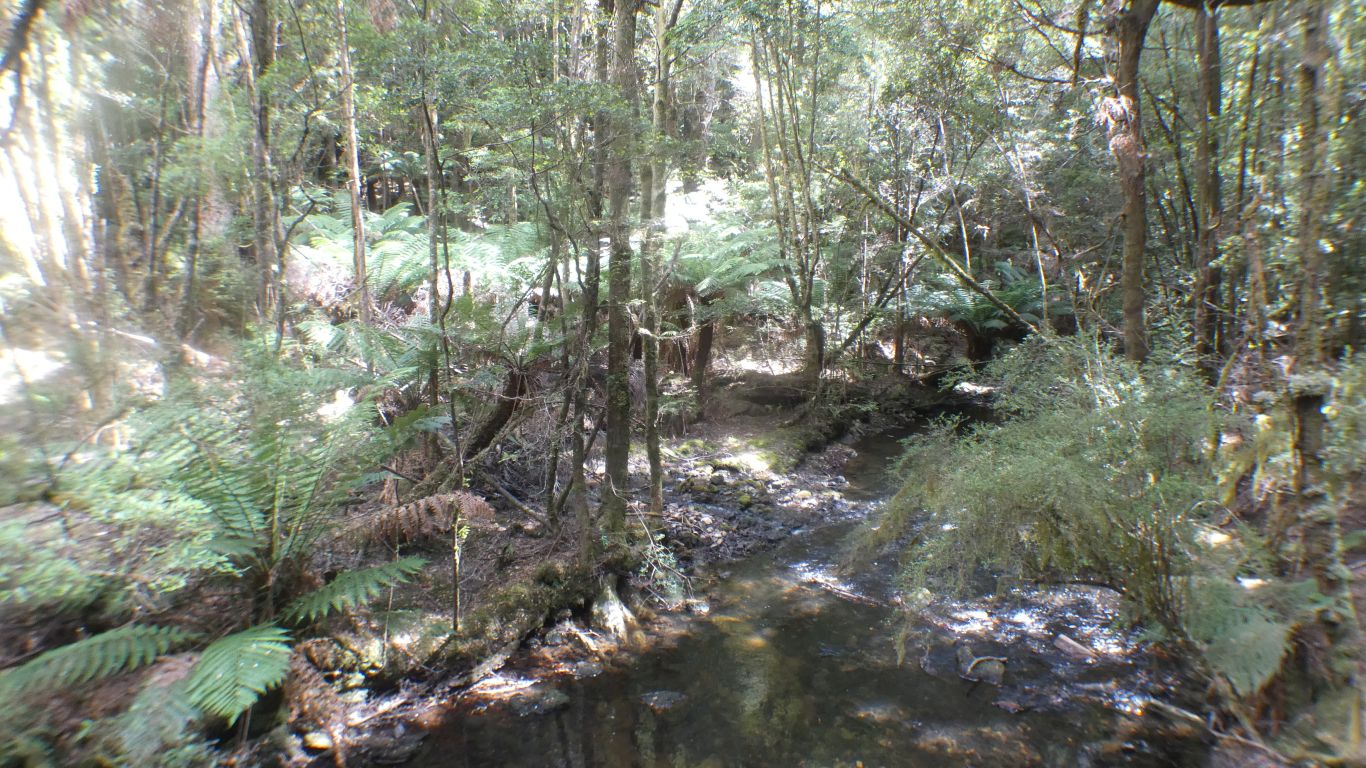
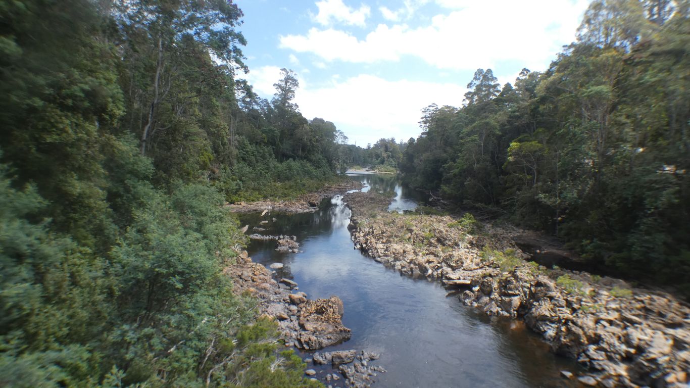
The rivers are stained with tannins from vegetation and peat.
Noticed a tributary of Rapid River is Doddds Creek.
So much for theories about water course naming.
A short walk.
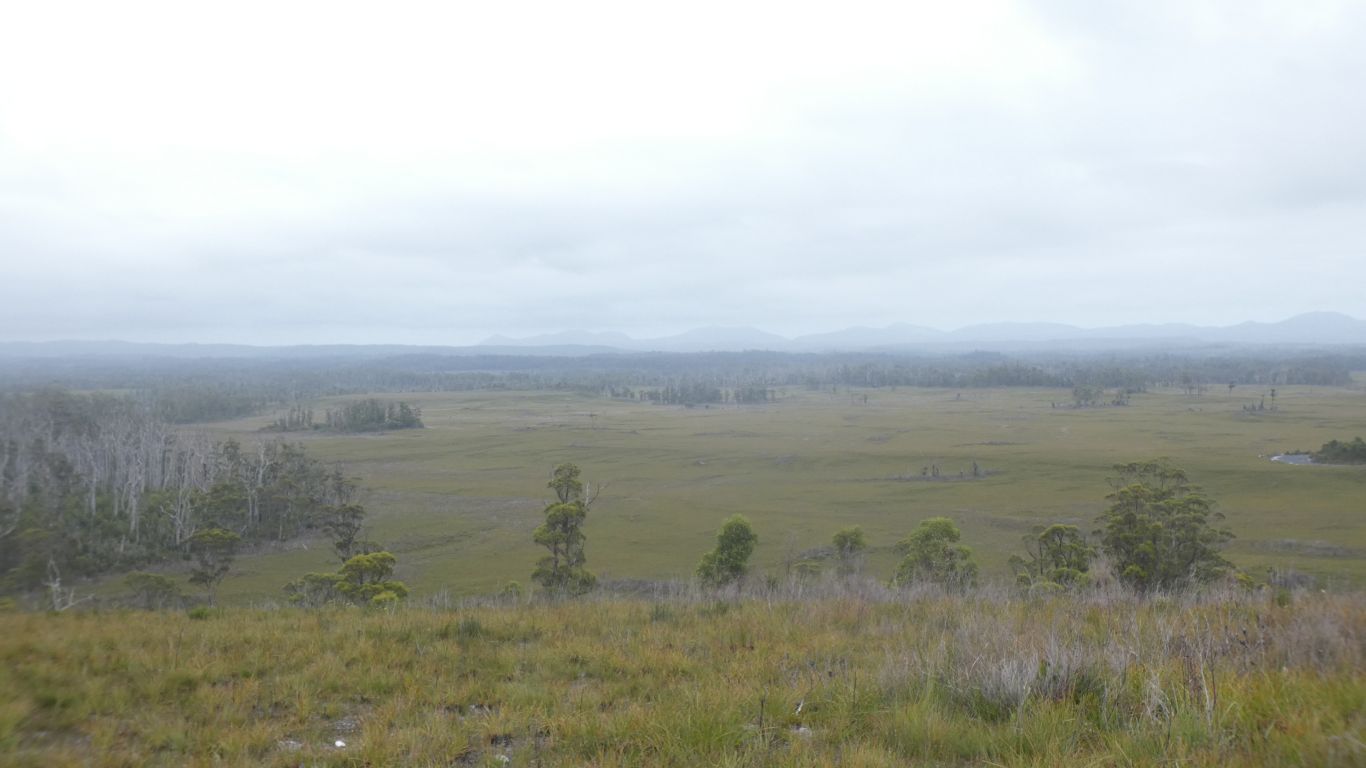
Whatever the cause, perhaps the underlying siltstones and peat, there seems to be more variety in the vegetation.
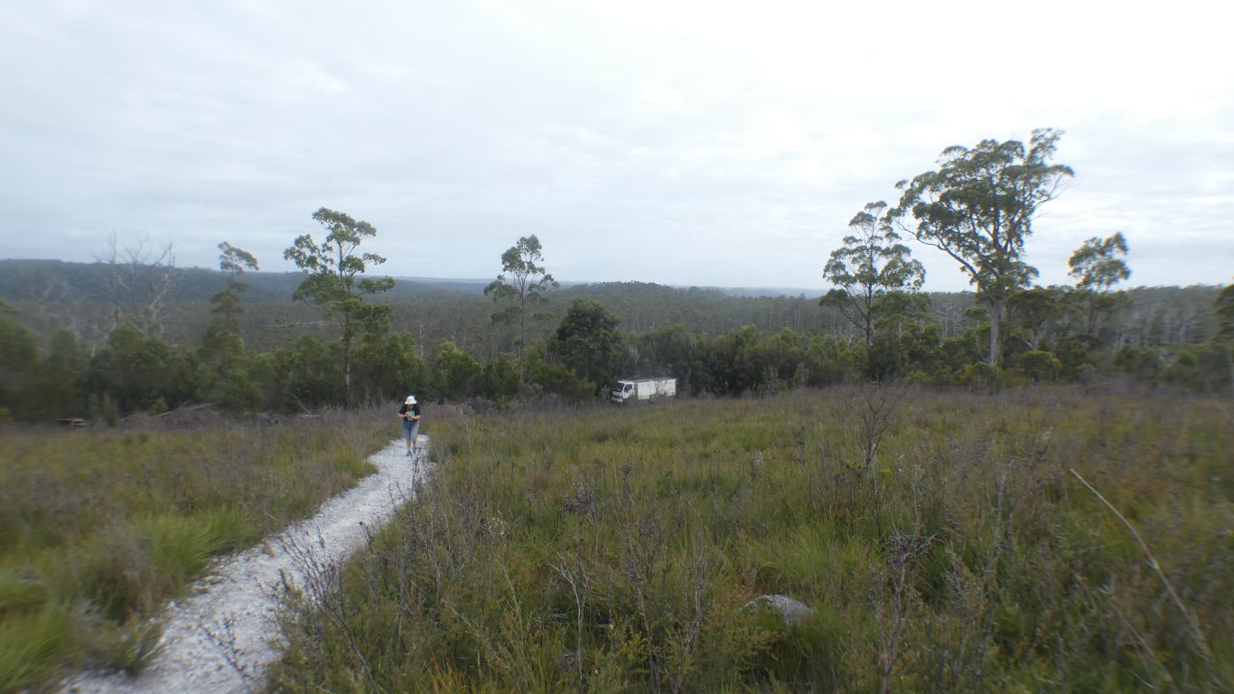
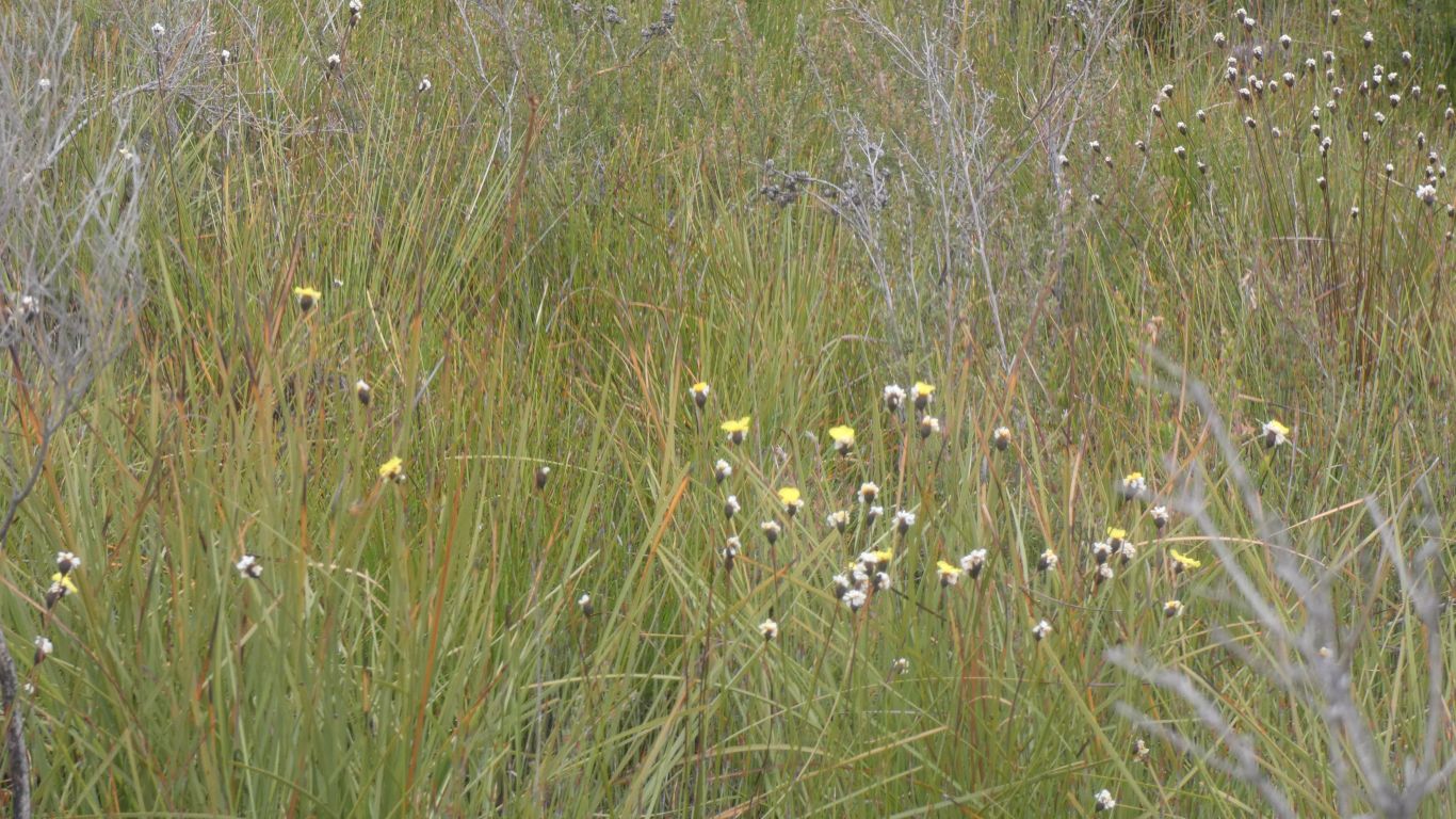
The satellite image shows this area as red rather than the colour of all the other button grass plains. Looks like its been burned in the last year or two and is recovering. Its not as dense as Milkshake Hills, I can walk through it easily.
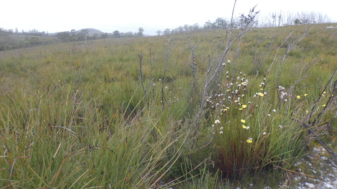
Every mention of "button grass plain" is at pains to say that button grass is really a sedge.
Grasses, of which there are more than I've had hot dinners, have hollow stems with nodes/joints, while sedges have solid triangular stems with no nodes. Sedges prefer more moist conditions than grasses.
We can't help noticing that all the tracks we have walked have been dry, despite being in rain forest. The track we are walking on has gravel laid. We suspect it becomes a peat bog fairly quickly with a little rain.
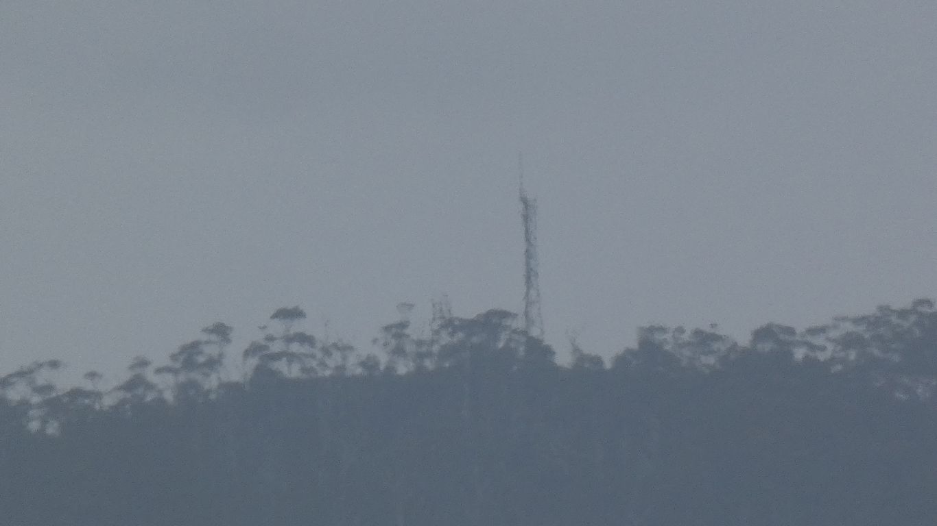
I saw it first from our last camp. Somewhere on a line about 220 degrees, a little west of south. About on a line to where we now stand.
It must be somewhere about half way.
Its part of fire warning, on top of Luncheon Hill.
Through regrowth forest in various stages, sometimes fire damaged.
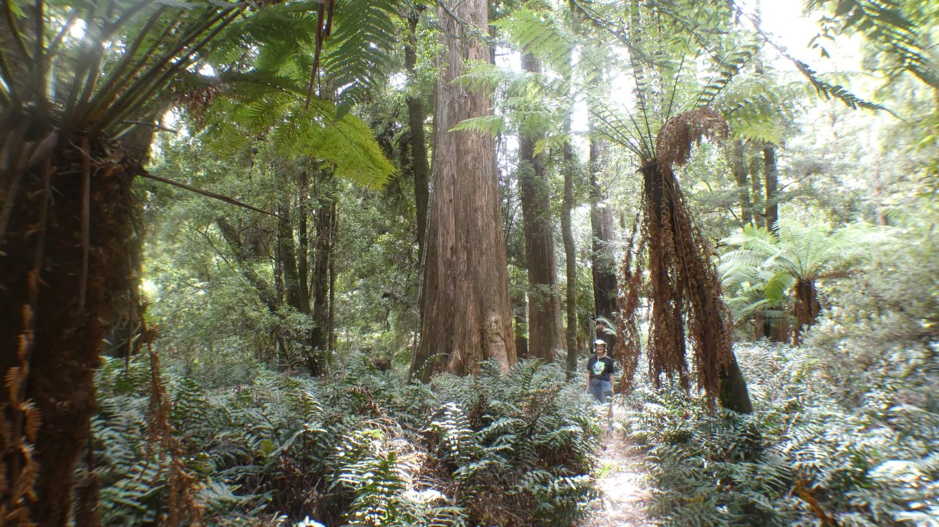
Myrtle Beech, Sassafras, and we believe Leatherwood.
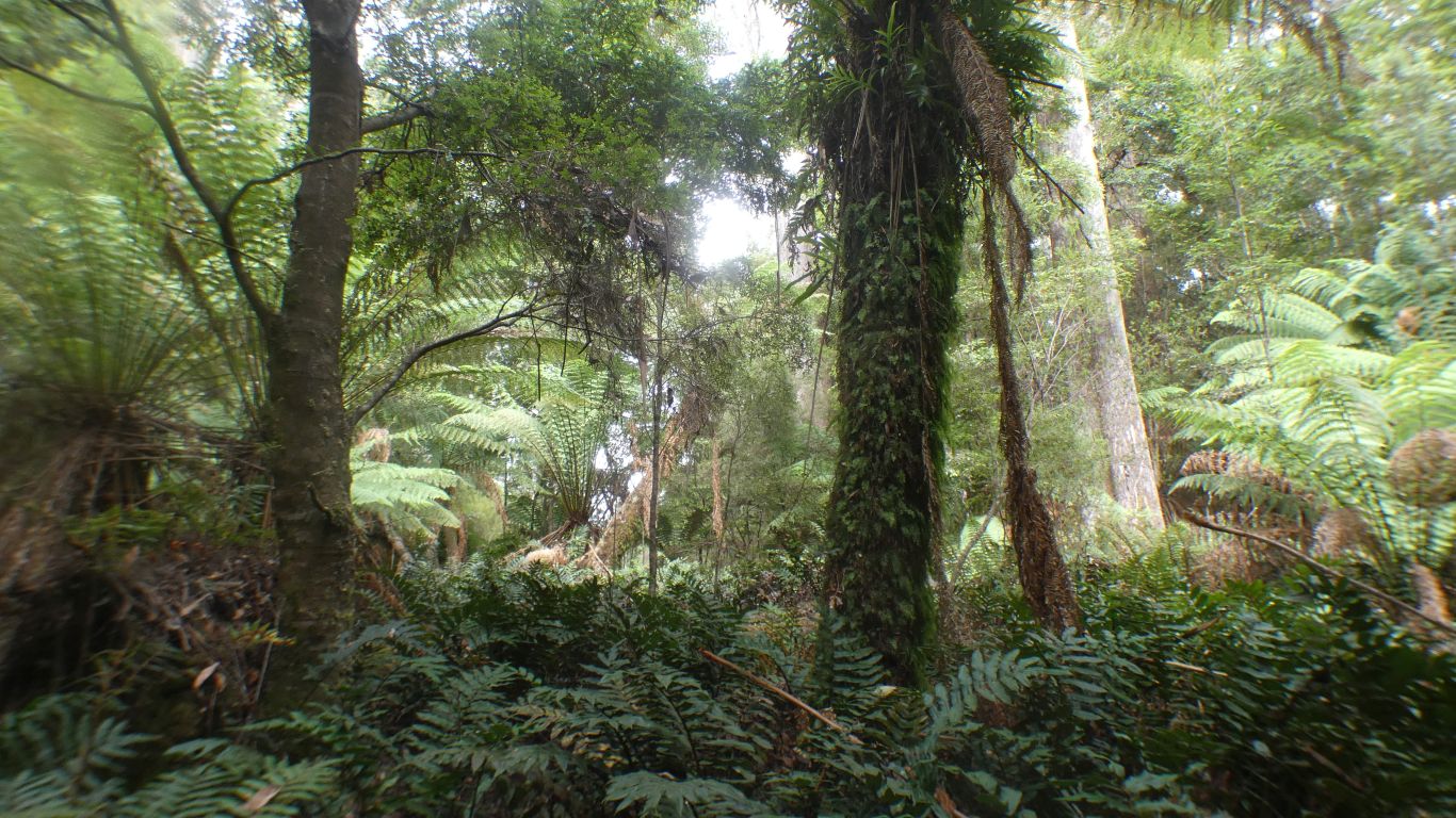
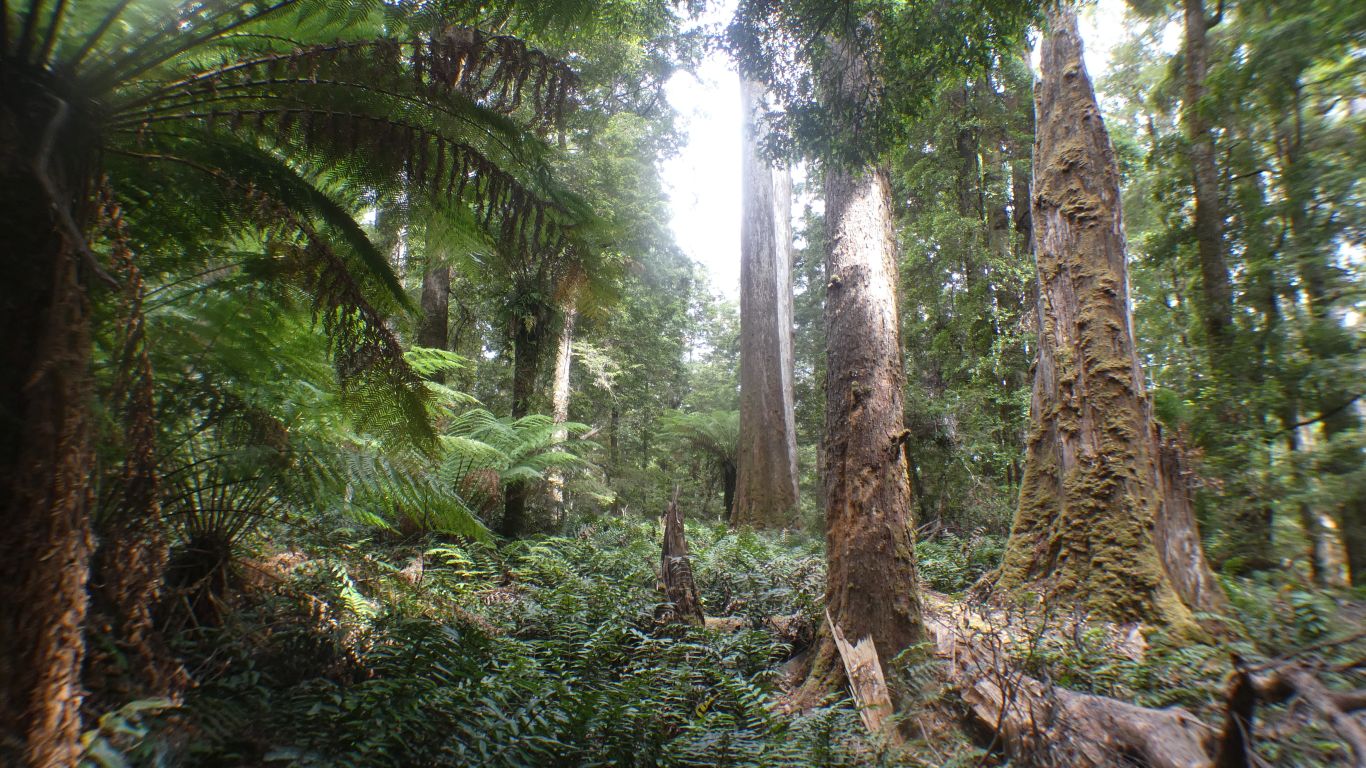
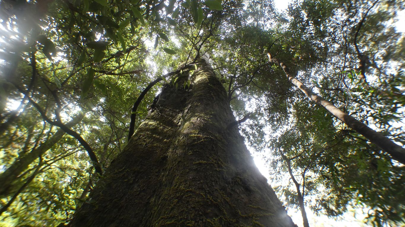
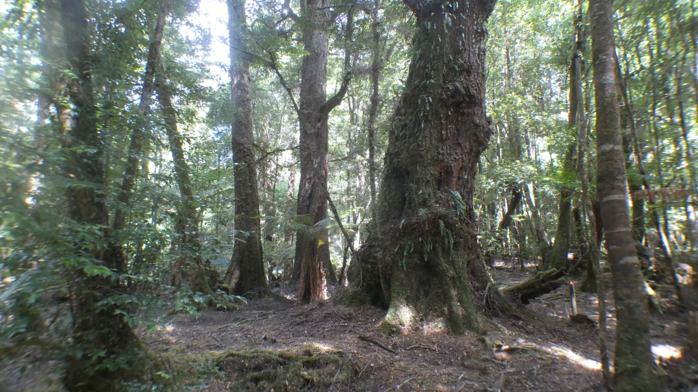
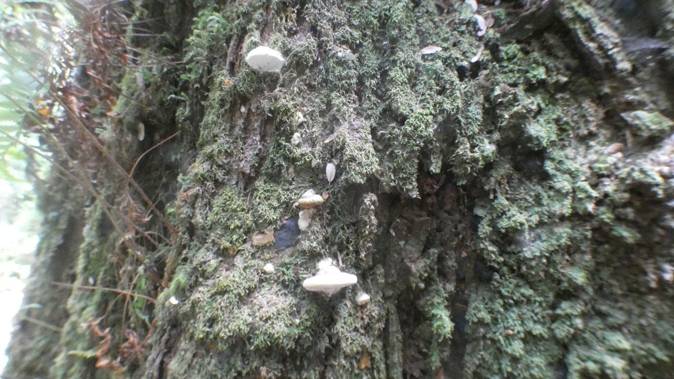
Trunks of trees and tree ferns festooned with moss, lichens, and epithytes.
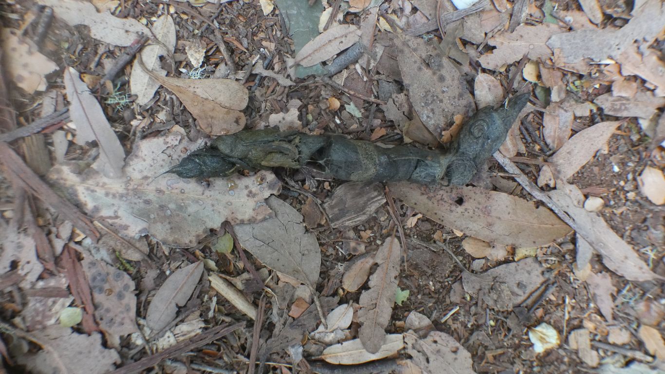
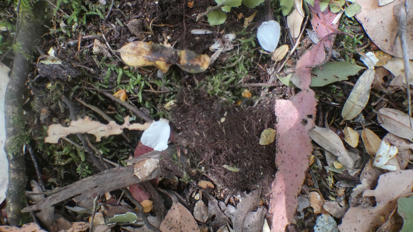
Obviously (we think) from a carnivour.
Possibly Tasmanian Devil or Spotted Tailed Quoll.
We are in the right area.
We need to be more adventurous after dark.
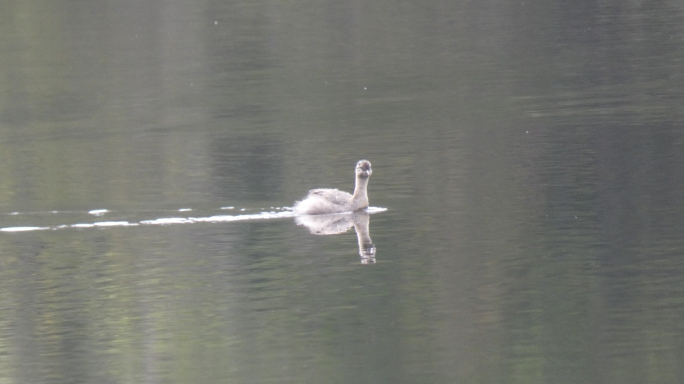
We didn't see a platypus.
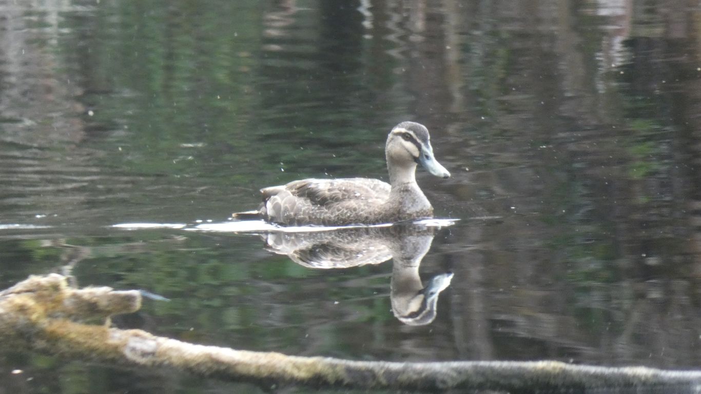
First the young.

We haven't seen any stumps.
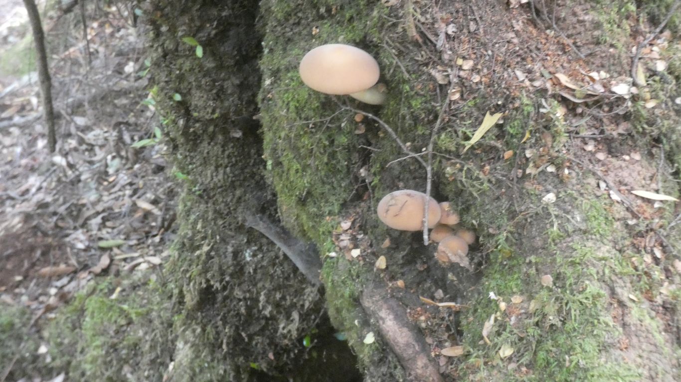
But what are they from?
We learn later, at Julius River, they are from the Leatherwood flowers.
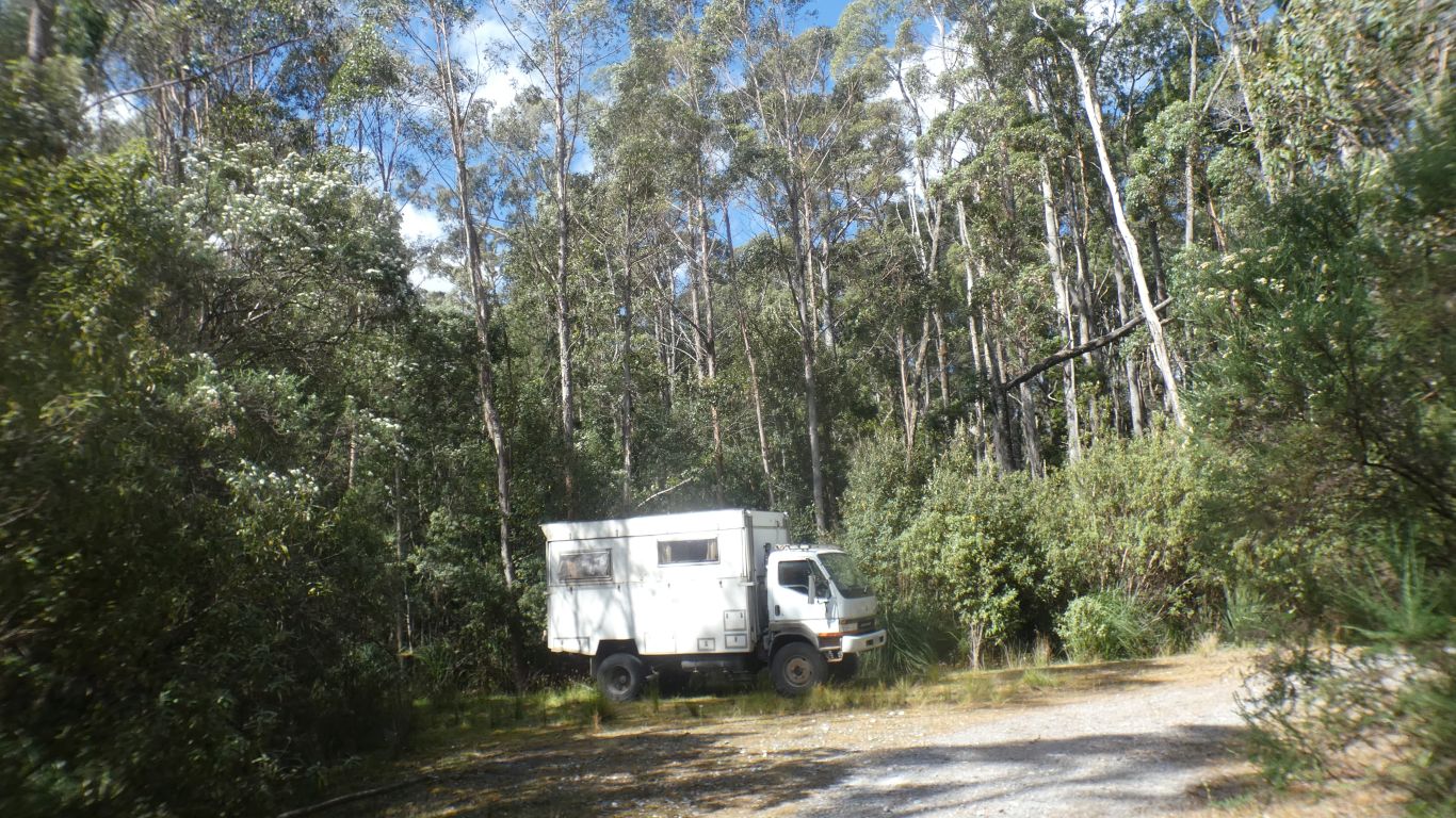
We bounced off the empty motorhome site. Car park at the day use area a little busy.
A walk along the river.
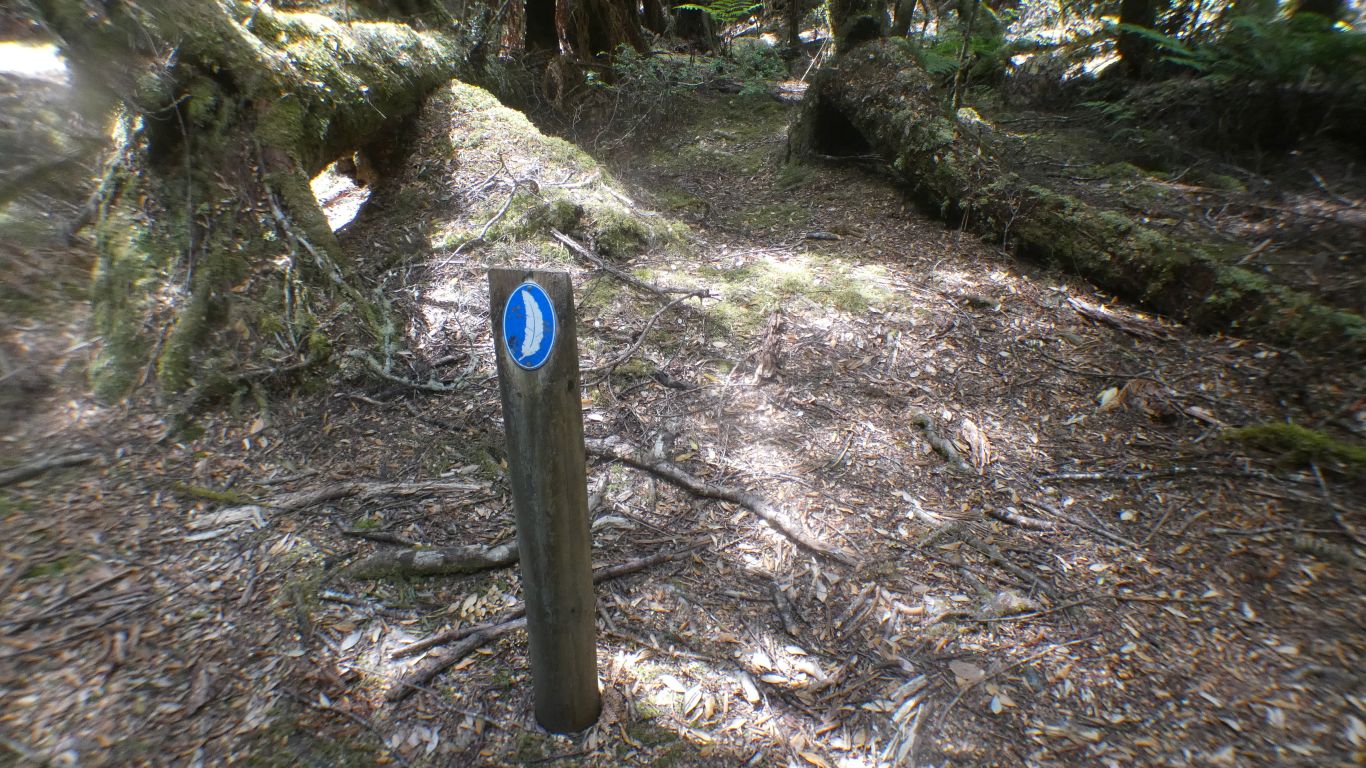
The only suggestion is its a trail marker .... !
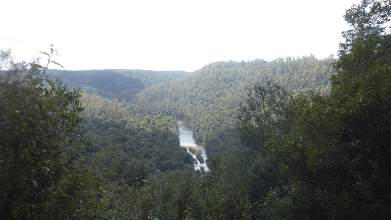
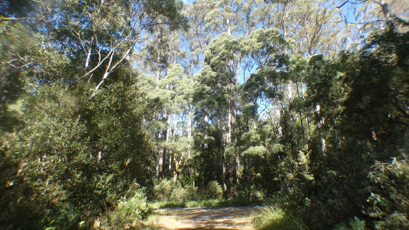
There is a description of the tall gum trees, which are susceptible to, and require, fire, with lower down, nearer the river, rainforest species myrtle beech and sassafras which don't.
Given time the rainforest will overtake the eucalypts. Unless there is a fire.
Blackwoods have a foot in both camps.
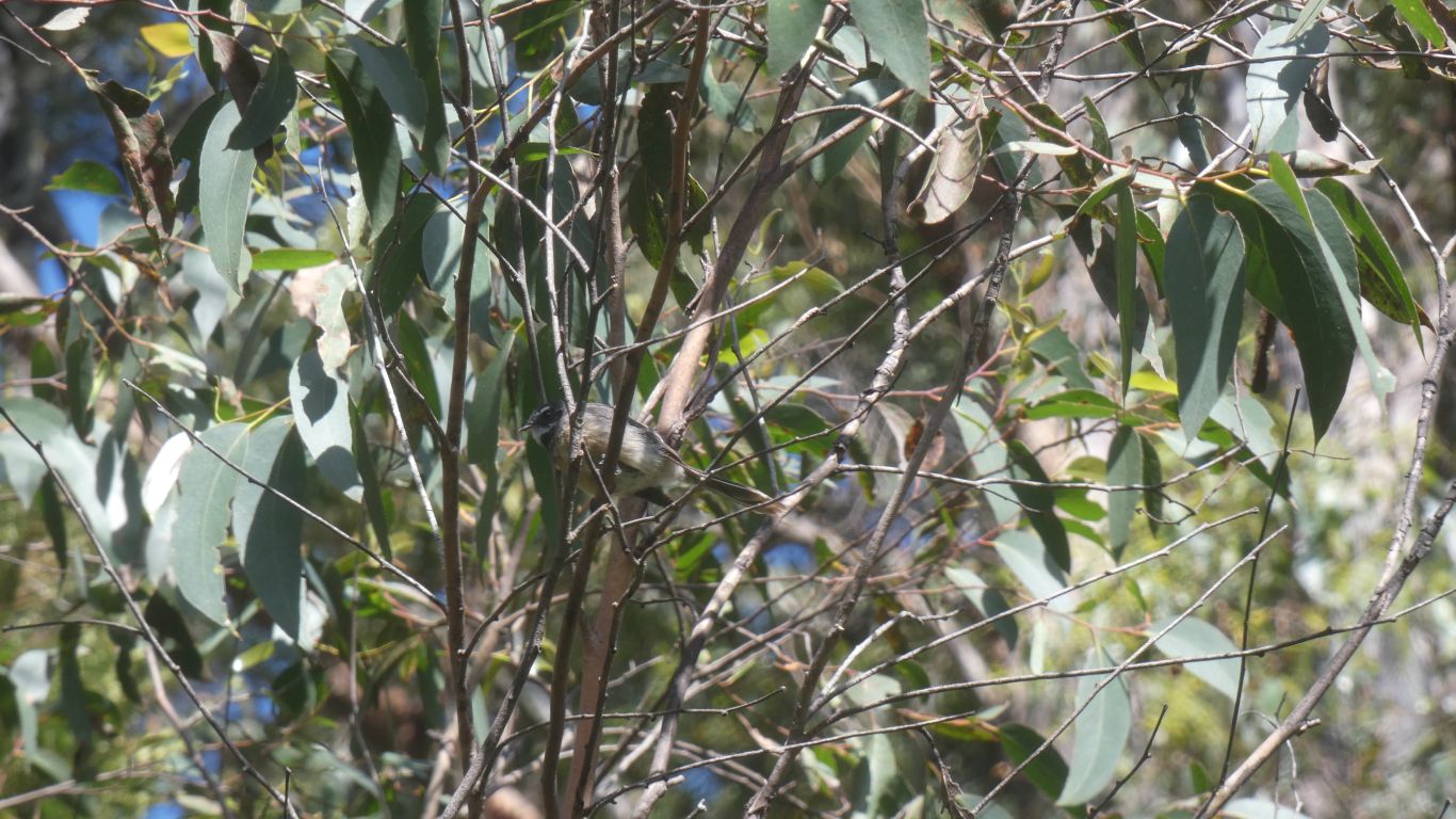
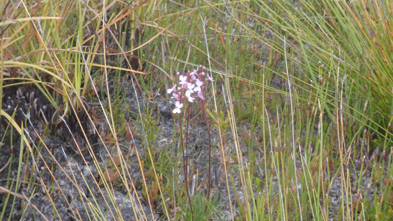
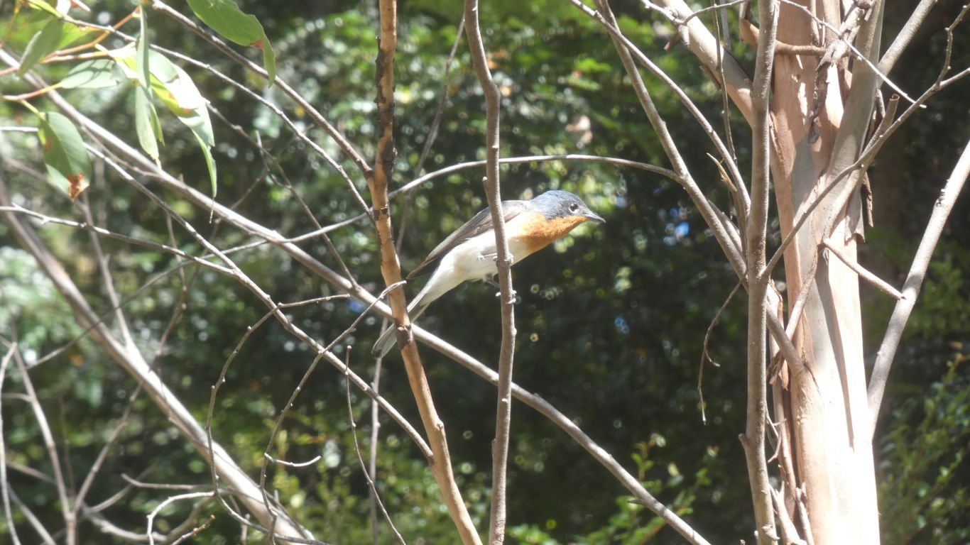
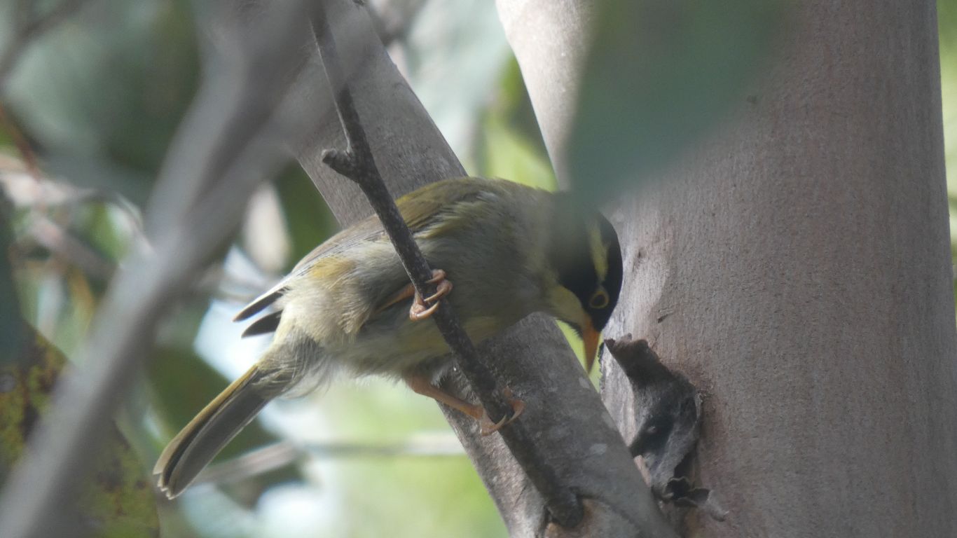
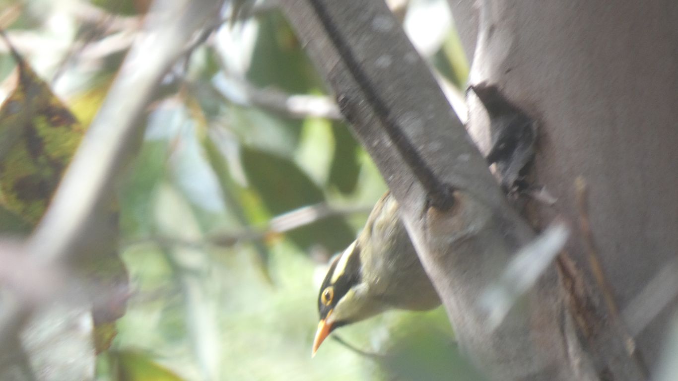
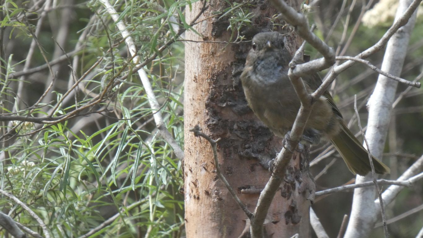
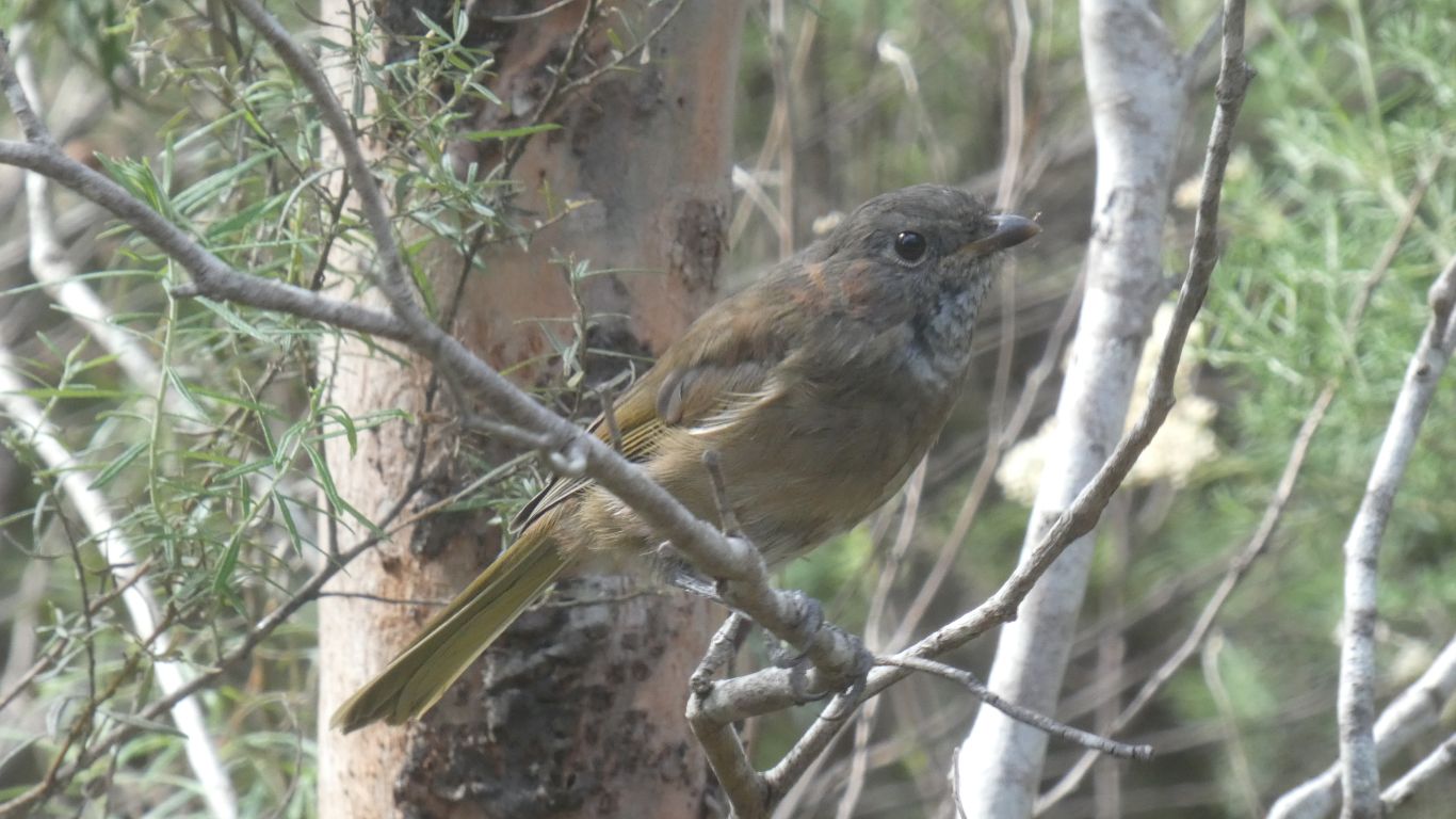
Too small to identify the bird. Just pleased we can see some. Perhaps a wren.
The vegetation along the track forms an almost impenetrable wall.
A few meters from the truck.
Enough to galvanise me into walking to the end of our track, about a km.
This in the undergrowth opposite side of track from truck.
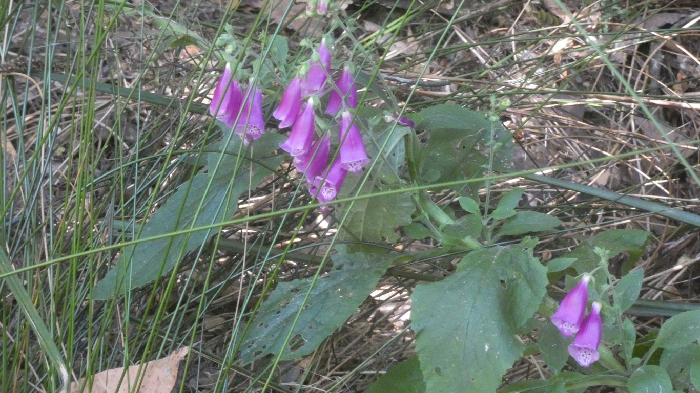
An introduced weed.
I feel I'm beginning to get a sense of layers of vegetation, from tall trees, through intermediate, to sometimes impenetrable short undergrowth.